Bringing you to some of the most gorgeous scenery in northwestern Maine is the the Rangeley Lakes Scenic Byway. Along the way, there are stunning views of Rangeley and Mooselookmeguntic Lakes and fine views of the nearby forested mountains, circling around the region in a sideways C pattern. Utilizing ME 17 and ME 4 from Mexico, Maine to Smalls Falls, southeast of Rangeley, a grand total of 51.75 miles makes up the drive as a Maine scenic byway, of which 35.6 miles make up the national scenic byway. There are a number of scenic overlooks along the way, with the jewel of the crown being the famous
Height of Land viewpoint on ME 17 south of Rangeley.
The Rangeley Lakes Scenic Byway meanders its way through a region that was settled by a small number of hardy pioneers in the early 19th Century. Rugged and remote, this region grew slowly. During this early period of settlement, the land sustained about a dozen family farms and lumber mills throughout the first half of the century. However, during the 1860s, the small community of Rangeley began to change when vacationers starting coming in from cities along the Eastern Seaboard. As word spread about the unparalleled fishing opportunities for ten to twelve pound brook trout and the unspoiled beauty of the region, large numbers of anglers and their families started to make an annual trek to the region. It was in Rangeley where the concept of "catch and release" was first pioneered and the adoption of fishing seasons first took hold. By 1925, the Rangeley Lakes region had become a premier destination resort area that attracted visitors from all corners of the United States, including Presidents.
While travel and leisure habits have changed and many of the grand resorts are no longer in business, we now have a great scenic byway that can take us to these treasures that the vacationers of yore enjoyed. The Rangeley Lakes are is still popular with outdoorspeople and there are plenty of people who have second homes in the area. Just west of Rangeley is the
Wilhelm Reich Museum, devoted to the controversial Austrian psychotherapist and scientist
Wilhelm Reich, who had a home and laboratory here. The famed Appalachian Trail crosses the scenic byway in two locations, offering thru hikers chances to check out the views the byway has to offer along their journey. You'll still find plenty of people boating and fishing as well. Here, we will take the Rangeley Lakes Scenic Byway in a clockwise fashion, starting at the mill town of Mexico, Maine.
 |
| Heading westbound on ME 17 in Mexico, although the highway heads mostly north and south between Mexico and the Rangeley area. |
 |
| Leaving Mexico, some hills start coming into view. |
 |
| ME 120 parallels ME 17 on the west side of the Swift River. The Swift River offers a good challenge for experienced canoeists and kayakers (with class I-III white water) and is known for its scenic, natural, and recreational splendor. |
 |
| There is a roadside pulloff for Coos Canyon, which I feel is well worth the stop. There are a few small waterfalls, some interesting geologic features and this area is popular for gold panning as well. |
 |
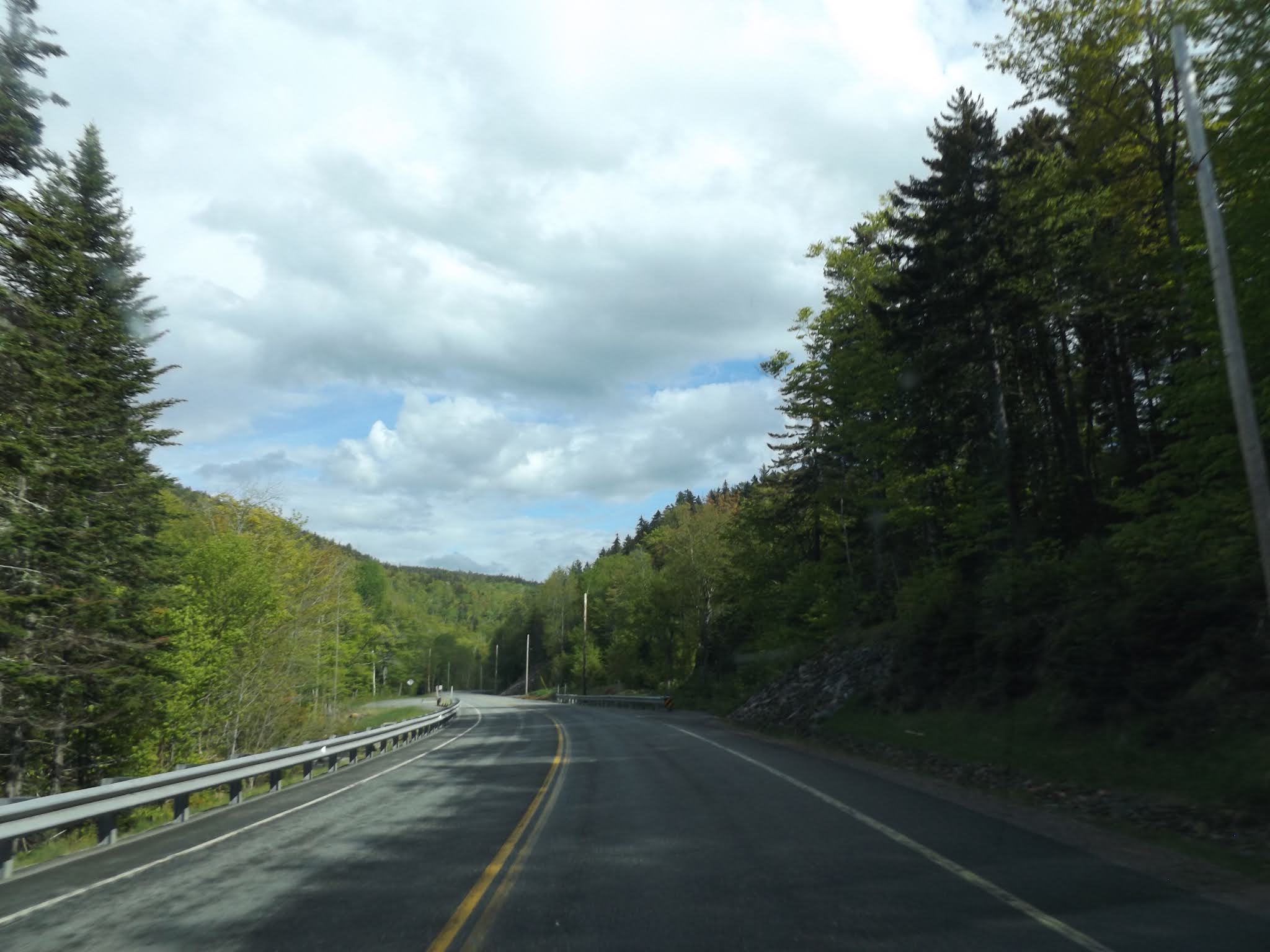
| Back on the road. ME 17 follows the Swift River for a distance, before peeling off to climb in elevation towards the Height of Land. |
 |
| Bleak and blurry amongst the clouds. |
 |
| Mooselookmeguntic Lake (an Indian word meaning "portage to the moose feeding place"), Maine's second largest lake. This is the view from the Height of Land, considered one of the top scenic overlooks in all of New England, with views of the lake, forests, and mountains. The Appalachian Trail crosses the byway here. |
 |
| This is why we take road trips. |
 |
| The Height of Land measures up as a scenic overlook. |
 |
| Back on the road, we continue north on ME 17 on our way to another scenic overlook. |
 |
| The Sheldon Noyes Overlook, providing great views of Rangeley Lake. On a clear day, you should be able to see the mountains in the distance, such as Saddleback Mountain. |
 |
| Starting to make our descent into Oquossoc, a small hamlet at the end of ME 17. |
 |
| ME 17 ends. We're a long way from ME 17's other end at US 1 in Rockland, Maine. ME 17 also goes through the capital city of Augusta during its journey. |
 |
| The Rangeley Lakes Scenic Byway turns right here. However, we're going to make a quick detour to the left. |
 |
| ME 4 also ends in the area. ME 4 is a north-south highway that goes through Farmington, Auburn and Lewiston on its way to far southern Maine at the Piscataqua River in South Berwick. |
 |
| ME 4 ends at the boat landing at Haines Landing, on Mooselookmeguntic Lake. From Haines Landing, you can also continue south a short distance to Bald Mountain, and take the hike up to its observation tower, affording even more views of the area's lakes and mountains. |
 |
| Back to the Rangeley Lakes Scenic Byway. Let's continue on ME 4. |
 |
| Oquossoc Union Church. I am digging the rustic architecture. |
 |
| ME 16 joins the Rangeley Lakes Scenic Byway for a few miles. ME 16 comes to us from the White Mountains of New Hampshire. After ME 16 ventures off on its own again after Rangeley, it passes by the Carrabassett Valley and Dover-Foxcroft on its way to the Penobscot River town of Orono, home of the University of Maine. |
 |
| It is a scenic, rolling stretch of road on the way to Rangeley. |
 |
| ME 16 parts ways with ME 4 as we enter Rangeley. |
 |
| Rangeley, Maine was named after James Rangeley. In 1796, four investors, including Philadelphian James Rangeley, Sr., purchased nearly 31,000 acres of land in the western mountains of Maine for timber and mineral rights. When James Rangeley, Sr., died, his son inherited the land and bought out the remaining partners. James, Jr., and his family decided to make this wild place their home. Later, the area was officially renamed Rangeley, and by 1840, the population of Rangeley had increased to 39 families. |
 |
| View of Rangeley Lake from the Whip Willow Overlook on ME 4. |
 |
| This must be a great place to watch a sunset. |
 |
| Continuing south on ME 4 as we start to follow the Sandy River. |
 |
| Watch out for moose! |
 |
| The Rangeley Lakes Scenic Byway ends here at Smalls Falls. There is a roadside picnic area and a few small trails where you can enjoy the surrounding scenery and give yourself a pat on the pack for driving such an awesome road. |
How to Get There:
Sources and Links:
Maine Department of Transportation -
Maine's Scenic Byways (PDF)
Federal Highway Administration -
Rangeley Lakes Scenic BywayRangeley Lakes Heritage Trust -
Rangeley Lakes Scenic BywayHow Stuff Works - Maine Scenic Drives:
Rangeley Lakes Scenic BywayNational Scenic Byway Foundation -
Rangeley Lakes Scenic Byway


Comments