After completing M-26 I had a long westward journey to reach Duluth to put myself in position to go to Voyaguers National Park on the 24th. I took US 45 south to M-28 and M-28 over to US 2 which took me to Wisconsin.
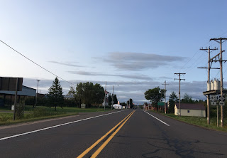


I had plenty of time and taking US 2 through Wisconsin seemed kind of passe and bland. That being the case once US 2 picked up WI 13 I took it north to the Bayfield Peninsula to follow the coast of Lake Superior.


The first major settlement on WI 13 north of US 2 is the town of Washburn. Washburn was founded in the 1880s and was named after a governor of Wisconsin from the 1870s. The downtown area has some cool older buildings to look at.


The next stop was Bayfield which dates back to 1856 and I'm fairly certain was the original county seat of Bayfield County before it moved to Washburn. The visitor center for Apostle Islands National Seashore apparently is an old courthouse buildings and also a converted school. Apparently most of the land along the shore line is privately held so I had to ask at the visitor where I could get a good look at Madeline Island which was above Bayfield on County Route J near the junction of County Route I.


I took Old County Route K up to Sand Bay to have a look at Sand Island while I was having lunch.


Rejoining WI 13 the roadway started to become hilly and very scenic with huge vistas of the countryside ahead.


Cornucopia had a Wayside with a well and a nice look at Siskiwit Bay.


Westward the next community is Herbster which apparently only has about 100 residents.


The seven miles west to Port Wing are scenic and hilly with great views.


From Port Wing westward WI 13 follows the shore before breaking south at the boundary of Brule River State Forest. WI 13 turns westward again at the junction of County Route H.


The only thing west of County Route H on WI 13 I could find that was worth stopping for was the Davidson Windmill.


WI 13 ends at the US 2/53 expressway which I took into Superior which approaches the St. Louis River and Superior Bay which is where the state line for Minnesota is located.


I took US 53/I-535 over the Blatnik Bridge to enter Duluth where I was staying for the night. I took US 53 to my hotel which was located on the north end of the city for an easy exit the next morning towards Voyageurs National Park. I had a deeper look at the Blatnik Bridge later in the trip so I'll refrain from talking about it now.


I had plenty of time and taking US 2 through Wisconsin seemed kind of passe and bland. That being the case once US 2 picked up WI 13 I took it north to the Bayfield Peninsula to follow the coast of Lake Superior.

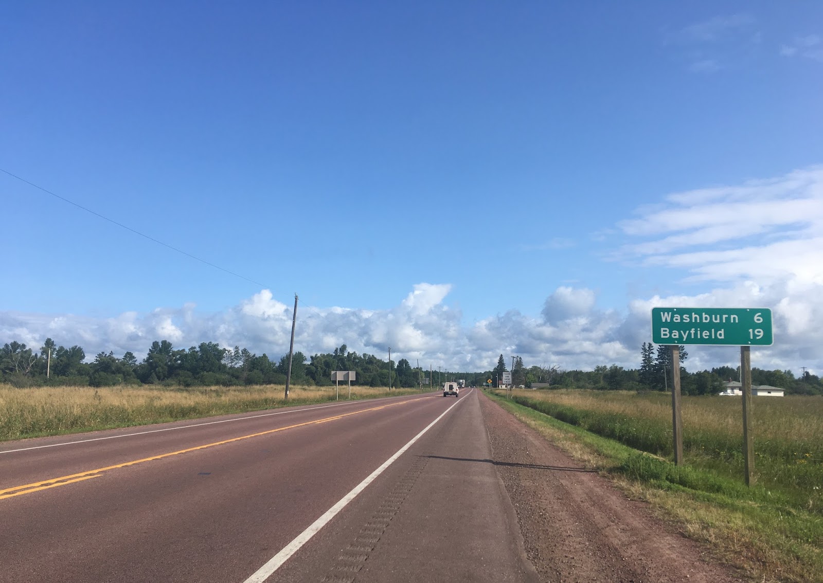
The first major settlement on WI 13 north of US 2 is the town of Washburn. Washburn was founded in the 1880s and was named after a governor of Wisconsin from the 1870s. The downtown area has some cool older buildings to look at.


The next stop was Bayfield which dates back to 1856 and I'm fairly certain was the original county seat of Bayfield County before it moved to Washburn. The visitor center for Apostle Islands National Seashore apparently is an old courthouse buildings and also a converted school. Apparently most of the land along the shore line is privately held so I had to ask at the visitor where I could get a good look at Madeline Island which was above Bayfield on County Route J near the junction of County Route I.


I took Old County Route K up to Sand Bay to have a look at Sand Island while I was having lunch.


Rejoining WI 13 the roadway started to become hilly and very scenic with huge vistas of the countryside ahead.


Cornucopia had a Wayside with a well and a nice look at Siskiwit Bay.


Westward the next community is Herbster which apparently only has about 100 residents.


The seven miles west to Port Wing are scenic and hilly with great views.


From Port Wing westward WI 13 follows the shore before breaking south at the boundary of Brule River State Forest. WI 13 turns westward again at the junction of County Route H.


The only thing west of County Route H on WI 13 I could find that was worth stopping for was the Davidson Windmill.


WI 13 ends at the US 2/53 expressway which I took into Superior which approaches the St. Louis River and Superior Bay which is where the state line for Minnesota is located.


I took US 53/I-535 over the Blatnik Bridge to enter Duluth where I was staying for the night. I took US 53 to my hotel which was located on the north end of the city for an easy exit the next morning towards Voyageurs National Park. I had a deeper look at the Blatnik Bridge later in the trip so I'll refrain from talking about it now.


Comments