
CA 119 is a 30 mile east/west state highway in Kern County between CA 99 in Pumpkin Center and CA 33 in Taft. CA 119 is mostly known for being a section of US 399 which was decommissioned in the 1964 California State Highway Renumbering. The change from US 399 to CA 119 between Taft and Pumpkin center can be observed by comparing the 1963/1964 State Highway Maps.
1963 State Highway Map
1964 State Highway Map
US 399 was first signed in 1935 between Bakersfield and Ventura. Between Taft and Pumpkin Center, the route of US 399 was aligned on Legislative Route 140. LRN 140 was adopted in 1933 but wasn't part of the original run of 1934 signed state highways before being assigned a US Route. CAhighways.org and USends have more detailed information on US 399.
CAhighways.org on CA 119/LRN 140/US 399
USends on US 399
Interestingly US 399 seems to have always ended at the US 466 at Sumner Street in Bakersfield on a multiplex of US 99. Both the 1936-37 and 1963 State Highway City inserts show US 99 multiplexing US 399 to US 466.
1936-37 State Highway Map City Insert
1963 State Highway City Insert
I started CA 119 by approaching it from CA 99 southbound.

My route on CA 119 was westbound to the right on the below photo. US 399 would have met US 99 at Union Avenue about a quarter mile to the east on the left side of the below photo.

CA 119 is signed as the Vietnam Veterans Memorial Highway but is otherwise known as the Taft Highway. Pumpkin Center essentially is just a small strip of gas stations just barely outside the southern incorporated city limit of Bakersfield.


CA 119 skirts the city limit of Bakersfield before entering the small community of Panama. Pamana dates back to the 1870s but essentially is just a name on a map.


CA 119 crosses a series of rails and dips into Bakersfield a couple more times passing through the community known as Old River. Old River is apparently named after an old alignment of the Kern River before it's flow was heavily controlled by agriculture division and hydroelectric usage upriver.


Approaching Interstate 5 on westbound CA 119 there is a VMS sign which was displaying windy condition ahead. CA 119 west of I-5 begins to approach the Buena Vista Lakebed, Taft is signed as 18 miles to the west.


CA 119 passes the southern terminus of CA 43 at South Enos Lane. South Enos Lane continues as a county road towards the remains of Lake Buena Vista to the south. Lake Buena Vista was once a natural lake formed by the water flow of the Kern River as it's watershed made a northward turn towards Tulare Lake. Tulare Lake was a shallow inland lake near Kettleman City which was close to 570 square miles during the 19th century. Tulare Lake largely disappeared in the early 20th century as essentially, it's entire watershed has been impounded or diverted.


CA 119 west of CA 43 is signed as a safety corridor and begins to approach the Elk Hills.


The Elk Hills is a low mountain range that is named after the Tule Elk which used to be common in the area. The Elk Hills largely are filled with active oil wells which are common in the southern and western extent of San Joaquin Valley. The passing zone that CA 119 uses over the Elk Hills was apparently built this past decade according to CAhighways.org.


West of the Elk Hills CA 119 passes through Dustin Acres and Valley Acres.


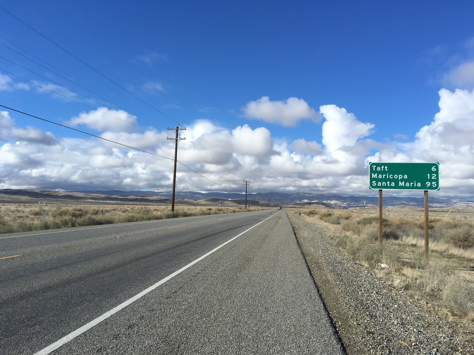
Taft is only 6 miles to the west of Valley Acres.
CA 119 begins to ascend towards Taft passing through some oil fields along the way.


Ford City is just off of CA 119 on the Harrison Street junction. CA 119 used to reach CA 33 by using Harrison Street in Ford City and 6th Street in Taft until the new bypass to the east was built this past decade.

CA 119 continues on the new bypass of Ford City and Taft to a western terminus at CA 33. Taft incorporated in 1910 but was originally known as Rail Siding Number 2 when it was created to service the Sunset Railroad. Taft's primary industry is the oil wells which surround the city. US 399 would have continued south on what is now CA 33 to Ventura.


US Route 99 on Gribblenation
This blog is part of the larger Gribblenation US Route 99 Page. For more information pertaining to the other various segments of US Route 99 and it's three-digit child routes check out the link the below.

Comments