Leaving Abilene westbound on I-20 I was begin to approach the Mountain West and infinitely more interesting terrain than I saw the first three days of my road trip. I wanted to get to a couple National Parks which meant that I had to divert off of I-20 towards US 180. My trip on US 180 to reach the New Mexico State Line was through some of the weirder areas Texas has to offer.

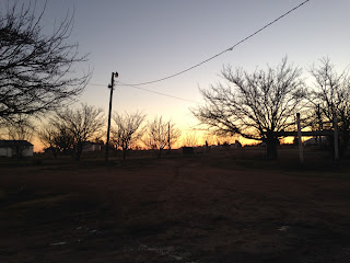
I left Abilene at about 6 AM in the morning on I-20 westbound which I consider to be a somewhat ordinary time to hit the road. On the west side of Abilene I-20 picks up a multiplex of US 84 which I intended to use to reach US 180 in Synder. As I was making my way down an empty I-20/US 84 a Texas Highway Patrol truck slowed down to approximately 30 MPH in the passing lane and followed me almost all the way to the turn-off for Synder.
The THP Officer pulled me over just before the breakaway towards Synder on US 84 since I was apparently following a truck at 500 feet at 70 MPH. I was advised by the officer that there was a lot of drug running on I-20 (The truthfulness of this story I question) with drivers with out of state tags (This is what known as a pretext stop when you pull someone over fishing for a bigger infraction or crime) and I was asked why I was on the road so early in addition to why I didn't take I-10. I explained that I was on my way to Carlsbad Caverns National Park for some hiking in the caves and my overnight stay was in Las Cruces. After receiving a warning ticket for following too close I continued on US 84 and took it to US 180 Synder where I continued west.
US 180 traverses some of the smallest counties in Texas, many are among the least populated in the United State. Passing through Borden County I encountered the County Seat Gail which largely resembled a ghost town. Gail apparently has a population of just over 200 and has been the County Seat of Borden County since the 1890s. Borden County itself dates back the 1870s and has a population of just over 600.


West of Gail US 180 picks up US 87 and heads into Lamesa in Dawson County. I pulled off of US 180/87 on County Road 20 to stop at Los Ybanez. Los Ybanez is the smallest incorporated city in Texas with a 2010 population of 19. Los Ybanez was incorporated in 1983 to sell liquor in the otherwise dry Dawson County. There isn't much to Los Ybanez aside from some really haggard old looking buildings which I'm to understand were built atop an old World War II era glider base.


Most of western Texas on US 180 was extremely muddy due to a fairly fresh snow melt. I stopped in Seminole for breakfast after picking US 62 and followed US 180/62 to the New Mexico State Line.

Comments