
Ocean County Route 607 is an 18.07-mile highway which exists on New Jersey's Long Beach Island. Ocean County Route 607 begins at McKinley Avenue in Long Beach Township on the southern tip of Long Beach Island and terminates at Barnegat Lighthouse State Park at the northern tip. Ocean County Route 607 follows Long Beach Boulevard, Bay Avenue, Long Beach Boulevard, Central Avenue and Broadway on Long Beach Island. The current Barnegat Light was constructed during 1859 and can be found at the northern terminus of Ocean County Route 607 at Barnegat Lighthouse State Park.

Long Beach Island has been continuously inhabited since 1690. Long Beach Island was originally popular with whaling parties which could access the Atlantic Ocean through Barnegat Inlet. The frequent use of Barnegat Inlet led to the construction of a lighthouse during 1835. The original lighthouse at Barnegat Inlet was destroyed by erosion during 1857 which led to the current Barnegat Light being erected during 1859.
A rail trestle to Long Beach Island was constructed by the Tuckerton Railroad during 1885-86. The Long Beach Island Bridge was completed during 1914 alongside the existing rail trestle. The Long Beach Railroad eventually was washed out during 1935 and was never replaced. The Long Beach Island Bridge can be seen below in an undated photo. New Jersey Route S40 was extended east from Manahawkin onto Long Beach Island and Long Beach Boulevard sometime between 1927-1939.


New Jersey Highway S40 was reassigned as New Jersey Route 72 during the 1953 New Jersey State Highway Renumbering. New Jersey Route 72 can be seen on the 1956 Shell Highway Map of New Jersey. It isn't clear when Ocean County Route 607 was applied to the north/south corridor on Long Beach Island.

During 1959 the original span of the Manahawkin Bay Bridge opened as replacement for the Long Beach Island Bridge. The original Manahawkin Bay Bridge is a deck girder design which is 2,400.1 feet in length. During 2000 the Manahawkin Bay Bridge was renamed in honor of New Jersey Department of Transportation Engineer Donald J. Henderson. Construction of the new Dorland J. Henderson Memorial Bridge span began during May 2013 and was completed during July 2016. Following the opening of the new span of the Dorland J. Henderson Memorial Bridge the original span went through the process of rehabilitation between November 2016 to November 2019.
Part 2; a drive on Ocean County Route 607 to Barnegat Light
New Jersey Route 72 eastbound terminates on Long Beach Island in Ship Bottom at Ocean County Route 607/Long Beach Boulevard via 9th Street. Ocean County Route 607 can be utilized by turning north or south. Barnegat Light is accessed from New Jersey Route 72 via a northbound turn onto Ocean County Route 607.

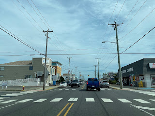
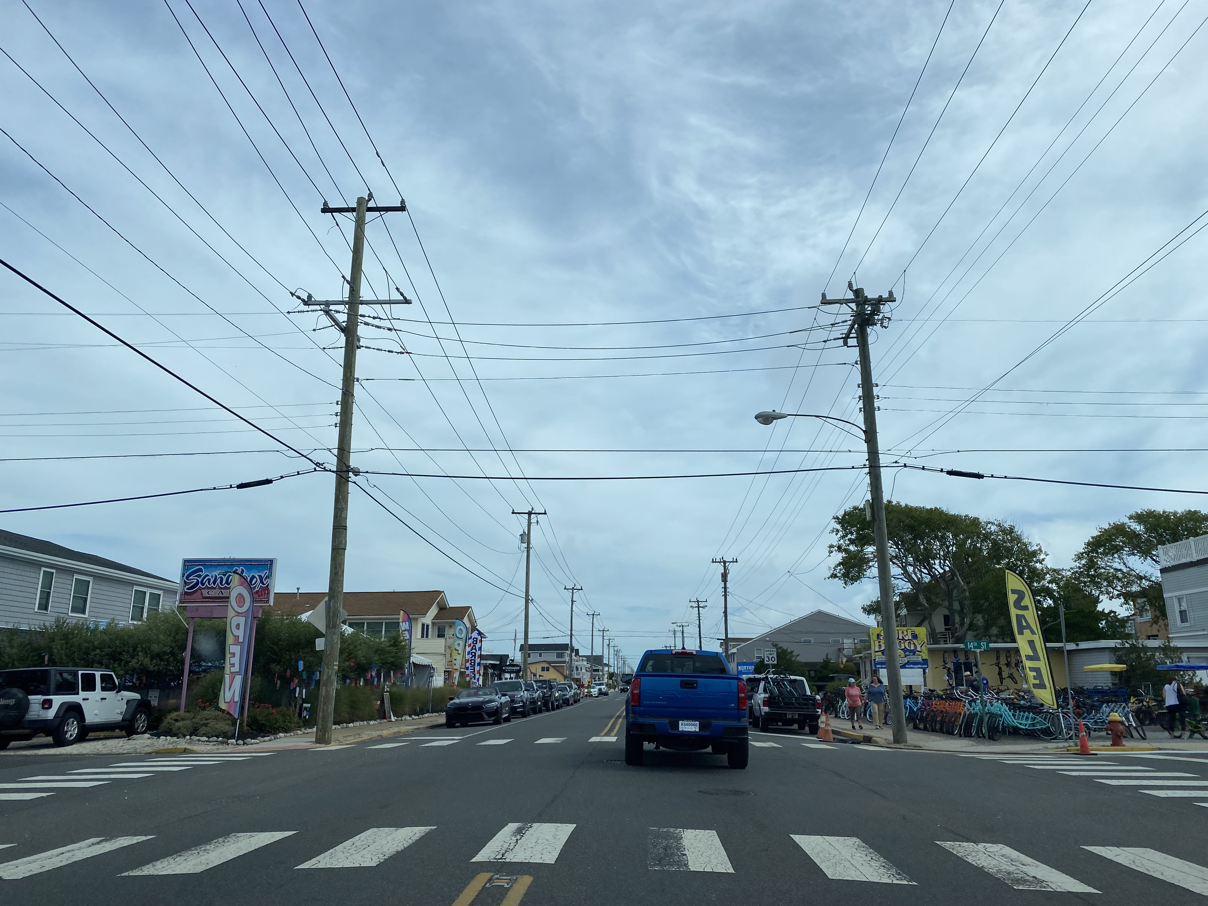
Northbound Ocean County Route 607 passes through Ship Bottom, Surf City, North Beach, Harvey Cedars and Loveladies on Long Beach Boulevard before entering the community of Barnegat Light along Central Avenue.


Ocean County Route 607 northbound makes a left-hand shift onto Broadway and terminates at Barnegat Lighthouse State Park.


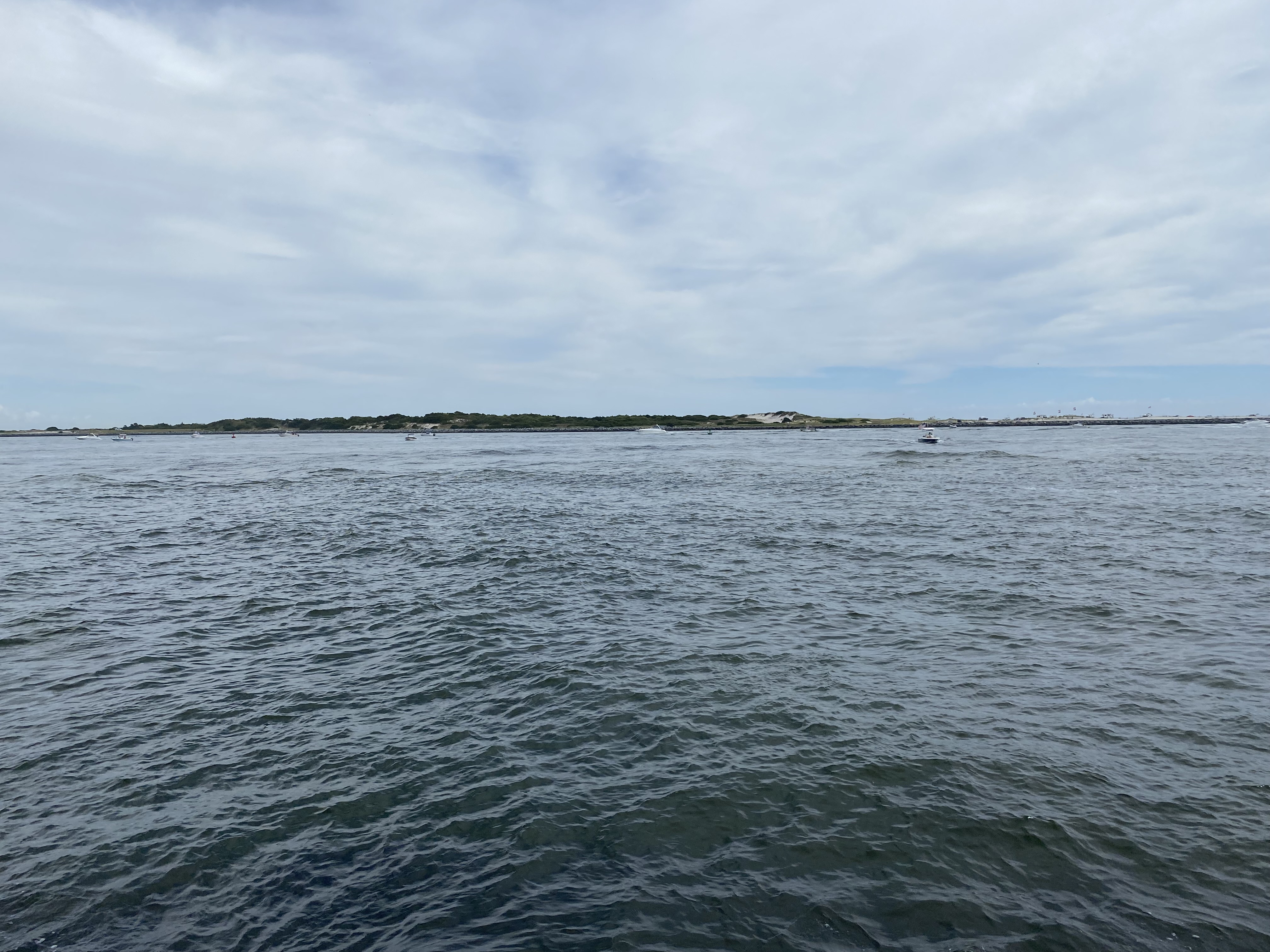
Barnegat Lighthouse State Park was created during 1951 and is centered around the grounds of Barnegat Light. Barnegat Light State Park has a small trail system and locations to fish on a sea wall. Barnegat Light is presently undergoing a restoration which is scheduled for completion during Spring 2023. Barnegat Light was automated during 1927 and is 169 feet tall.


Comments