
Girard Point Bridge (Interstate 95 in Philadelphia)

The Girard Point Bridge is a component of Interstate 95 in the city of Philadelphia.   The Girard Point Bridge is a double deck truss bridge which crosses the Schuylkill River.  The Girard Point Bridge was completed during 1973 and serves an average of 148,500 vehicles a day. 


Part 1; a brief history of the Girard Point Bridge

At the emergence of the Interstate Highway System traffic in the southern limits of Philadelphia utilized Pennsylvania Route 291 over the George C. Platt Bridge to cross the Schuylkill River.  Construction of the new alignment of Interstate 95 on the Girard Point Bridge broke ground during 1968.  The Girard Point Bridge would ultimately open to traffic during 1973 which provided a limited access highway into downtown Philadelphia.  The double deck truss design of the Girard Point Bridge carries northbound Interstate 95 traffic on the lower decker and southbound traffic on the upper deck.  The Girard Point Bridge is 5,167.2 feet long.


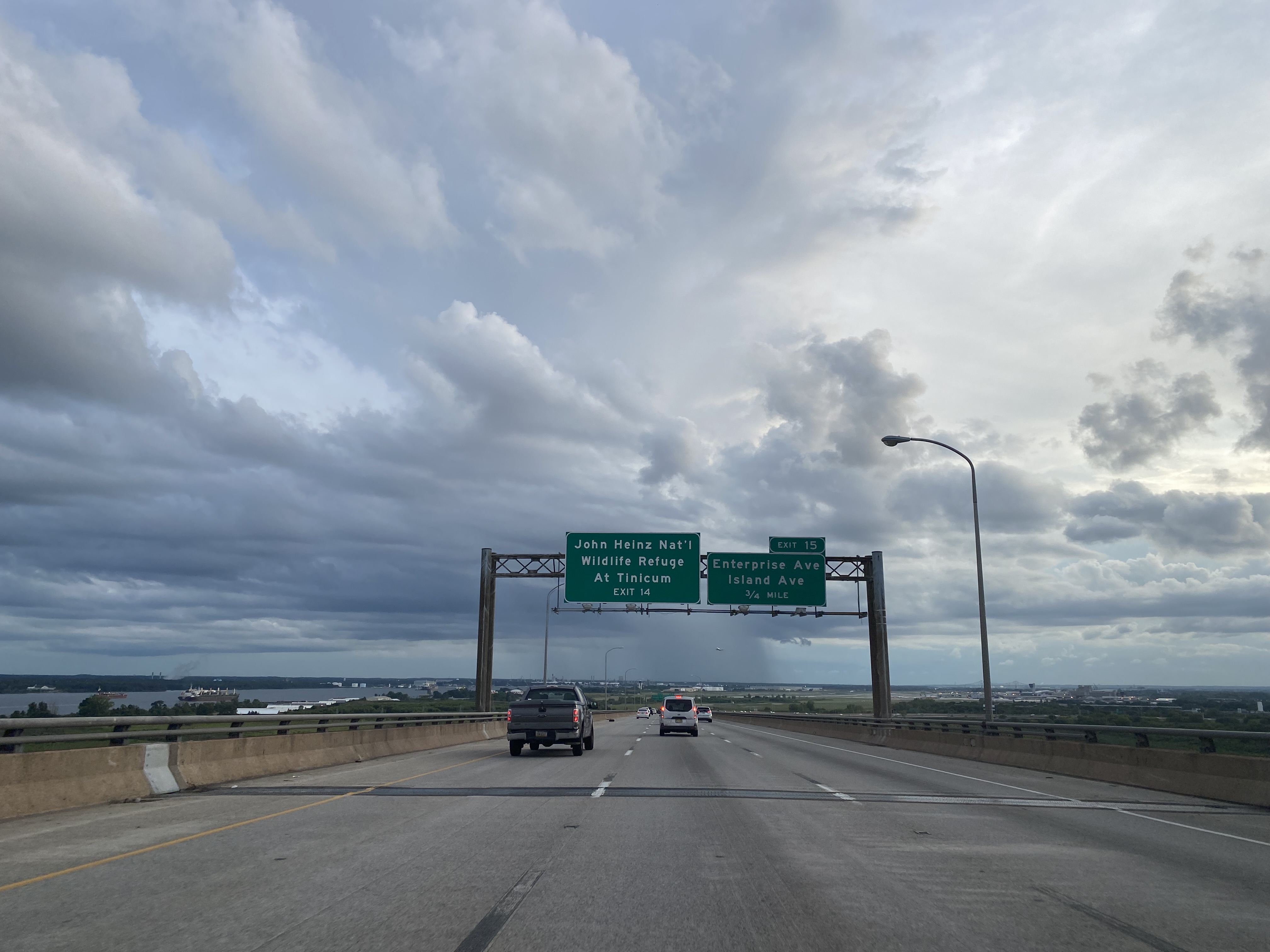
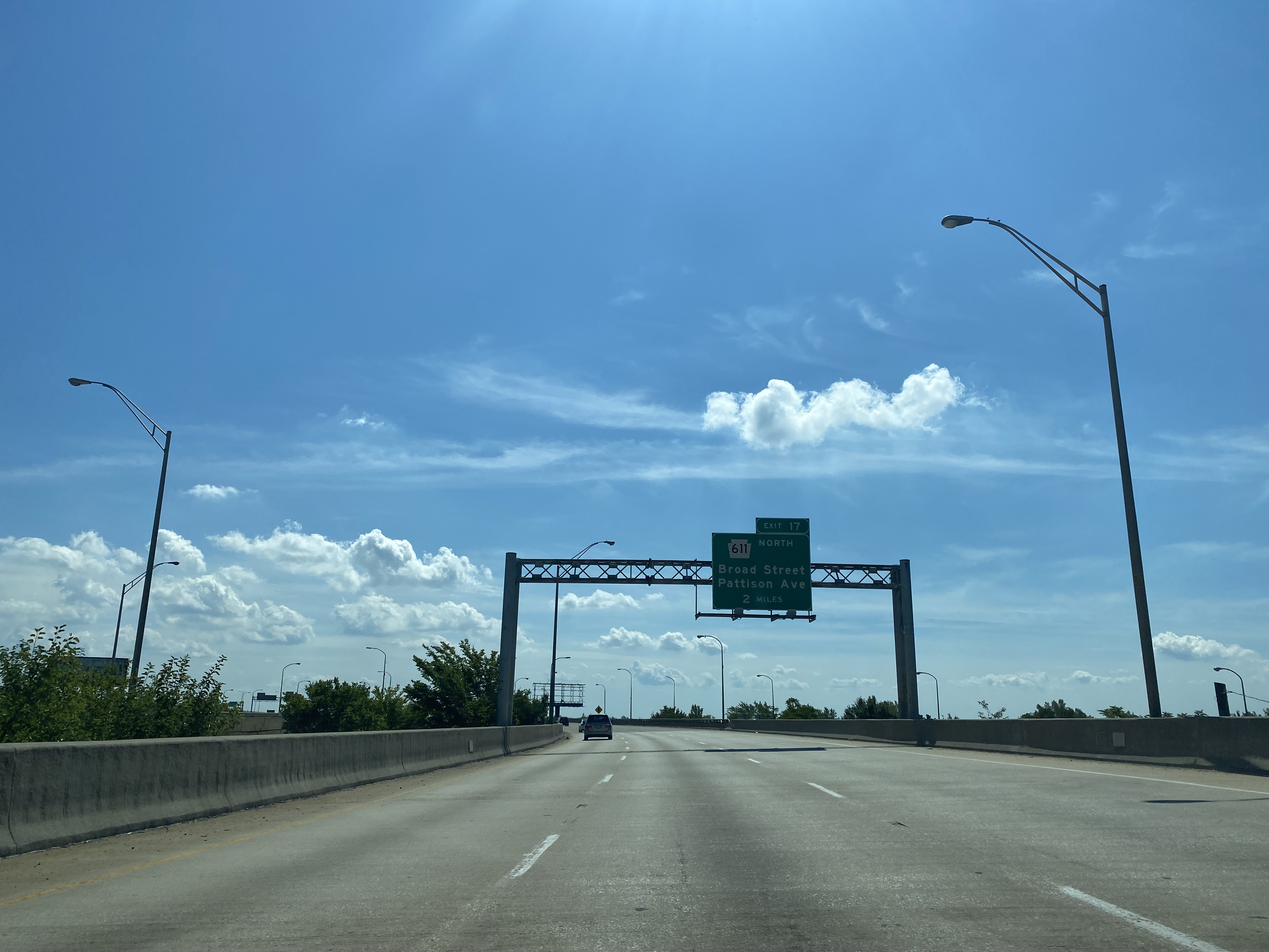
Part 2; a southbound drive over the Girard Point Bridge

The below sequence of photos depicts a crossing of the Girard Point Bridge along southbound Interstate 95 towards Exit 15.  


Part 3; a northbound drive over the Girard Point Bridge

The below sequence of photos depicts a northbound drive along Interstate 95 on the lower deck of the Girard Point Bridge. 


Comments

Popular posts from this blog

Did Caltrans just kill the G26 cutout US Route shields?

The US Route System was formally created by the American Association of State Highway Officials during November 1926.  Through the history of the system the only state to which has elected to maintain cutout US Route shields has been California.  The G26 series cutout US Route shields have become a favorite in the road enthusiast hobby and are generally considered to be much more visually pleasing than the standard Federal Highway Administration variant.  However, the G26 shield series appears to have been killed off on January 18, 2026, when Caltrans updated their Manual of Uniform Traffic Control Devices.  This blog will examine the history of the US Route shield specifications in California and what is happening with the 2026 changes.  The blog cover photo is facing towards the terminus of California State Route 136 and at a G26-2 specification US Route 395 shield.  In the background Mount Whitney can be seen in the Sierra Nevada range.   ...

Hawaii Route 50

Hawaii Route 50 is the longest Sign Route on the island of Kauai at 32.6 miles.  The entirety of Hawaii Route 50 is overlaid atop Kaumualii Highway from Lihue west to the Pacific Missile Range Facility at Barking Sands. Hawaii Route 50 is one of the original 1955-era State Highway designations on Kauai.  Much of the Kaumualii Highway corridor was constructed during the sugar plantation boom of the late Hawaiian Kingdom.  The first tee beam bridge in Hawaii would be constructed along the Kaumualii Highway in 1911 at the Hanapepe.  Much of this highway would be modernized to two-lane standards through the 1930s and 1940s. This page is part of the Gribblenation Hawaii Roads series.  A compellation of all Hawaii-related media from both Gribblenation and RoadwayWiz can be found by clicking  here .  Part 1; the history of Hawaii Route 50 and Kaumualii Highway Hawaii Route 50 is the longest highway on Kauai at 32.6 miles.  The highway begins at Rice Str...

Ghost Town Tuesday; Nichols, FL

A couple years ago I spent a lot of spare time exploring phosphate mining ghost towns in the Bone Valley of Polk County, Florida.  One ghost town in particular called Nichols on Polk County Route 676 west of Mulberry caught my eye due to a relative lack of documentation on ghosttowns.com. Nichols was created in 1905 during the early phosphate mining boom in the Bone Valley region.  For the time Nichols was unusual since it had company housing in the Nichols Mine site and private residences outside the gate.  Nichols is only about two miles west of Mulberry which probably made it a somewhat reasonable commute even by the wonky standards of the early 20th Century.  Most of the Bone Valley region was relatively remote which made commuting or homesteading impractical which is why there are so many ghost towns in the area.  The company housing section of Nichols was phased out and abandoned by 1950. The Nichols town site is largely abandoned and could "possibl...