
Interstate 676 is a 6.9-mile auxiliary of Interstate 76 which exists in the Philadelphia metro area. Interstate 676 begins at Interstate 76 in Gloucester City, New Jersey and loops back to it's parent in the city of Philadelphia, Pennsylvania. Interstate 676 is comprised of the Martin Luther King Jr. Memorial Highway in New Jersey, the Benjamin Franklin Bridge over the Delaware River and Vine Street Expressway in Philadelphia. Interstate 676 is largely concurrent with US Route 30 and is one of the few Interstates with traffic lights along it's routing.

The first segment of what now comprises Interstate 676 to be completed was the Benjamin Franklin Bridge (originally the Delaware River Bridge). The Delaware River Bridge opened to traffic on July 1, 1926 and was dedicated by President Calvin Coolidge on July 5, 1926. Upon the US Route System being created by the American Association of State Highway Officials (AASHO) on November 11, 1926, the Delaware River Bridge became part of US Route 30. The Delaware River Bridge upon being opened was the longest suspension bridge in the world at a total length of 9,650 feet. The Delaware River Bridge would remain the longest suspension bridge in the world until 1929.
From Philadelphia mainline US Route 30 eastbound approached the Delaware River Bridge via Spring Garden Street and a one-way couplet on 6th Street/5th Street. For a time, a US Route 30 Bypass route approached the Delaware River Bridge via one-way couplets on Race Street and Vine Street. The alignments of US Route 30 and US Route 30 Bypass approaching the Delaware River Bridge can be seen on the 1940 Rand McNally Map of Philadelphia.

During 1955, the Delaware Memorial Bridge was formally renamed the Benjamin Franklin Bridge. The Benjamin Franklin Bridge would be included in the Interstate System as a partially grandfathered toll facility upon the 1956 Federal Highway-Aid Act being signed into law on June 29 during said year. The Benjamin Franklin Bridge was assigned as part of Interstate 80S which can be seen on an AASHO map showing the Interstate route numbering adoptions made on August 14, 1957. Interstate 895 and Interstate 380 were also considered for the corridor of the Benjamin Franklin Bridge.

Interstate 80S can be seen on a map of the chargeable Interstates in the Philadelphia area found in the AASHTO database.

By 1960 several chargeable portions of Interstate 80S had opened in Philadelphia and New Jersey. Interstate 80S on the Vine Street Expressway from the Schuylkill River east to 18th Street had opened in Philadelphia. Within Camden Interstate 80S south of Morgan Boulevard had also opened to traffic.
On April 16, 1963, the State of Pennsylvania submitted a request to the Federal Highway Administration to renumber Interstate 80S as Interstate 76. The Federal Highway Administration approved the request to renumber Interstate 80S as Interstate 76 on February 26, 1964. What had been previously Interstate 680 on the Schuylkill Expressway was renumbered as Interstate 676.
On May 3, 1972, the State of Pennsylvania submitted a request to AASHO to swap the location of Interstate 76 and Interstate 676 between Philadelphia-Camden. The request to swap the location of Interstate 76 and Intestate 676 was approved by AASHO on June 20, 1972. One of the primary drivers for swapping the corridors of Interstate 76 and Interstate 676 was that the Schuylkill Expressway was already functionally complete.


The remaining portion of Vine Street Expressway east to the Benjamin Franklin Bridge was subject to numerous delays due to environmental challenges during the 1970s. Interstate 676 between Morgan Boulevard and US Route 30 in New Jersey was completed during the 1980s. The final Environmental Impact Statement for the completion of the Vine Street Expressway between 18th Street and the Benjamin Franklin Bridge was approved by 1986. The final Environmental Impact Statement included a provision that no elevated structure along Interstate 676 would connect to the Benjamin Franklin Bridge to avoid disturbing the grounds of Franklin Square. The Vine Street Expressway between 18th Street and the Bejamin Franklin Bridge opened to traffic on January 10, 1991.
Part 2; a drive on Interstate 676
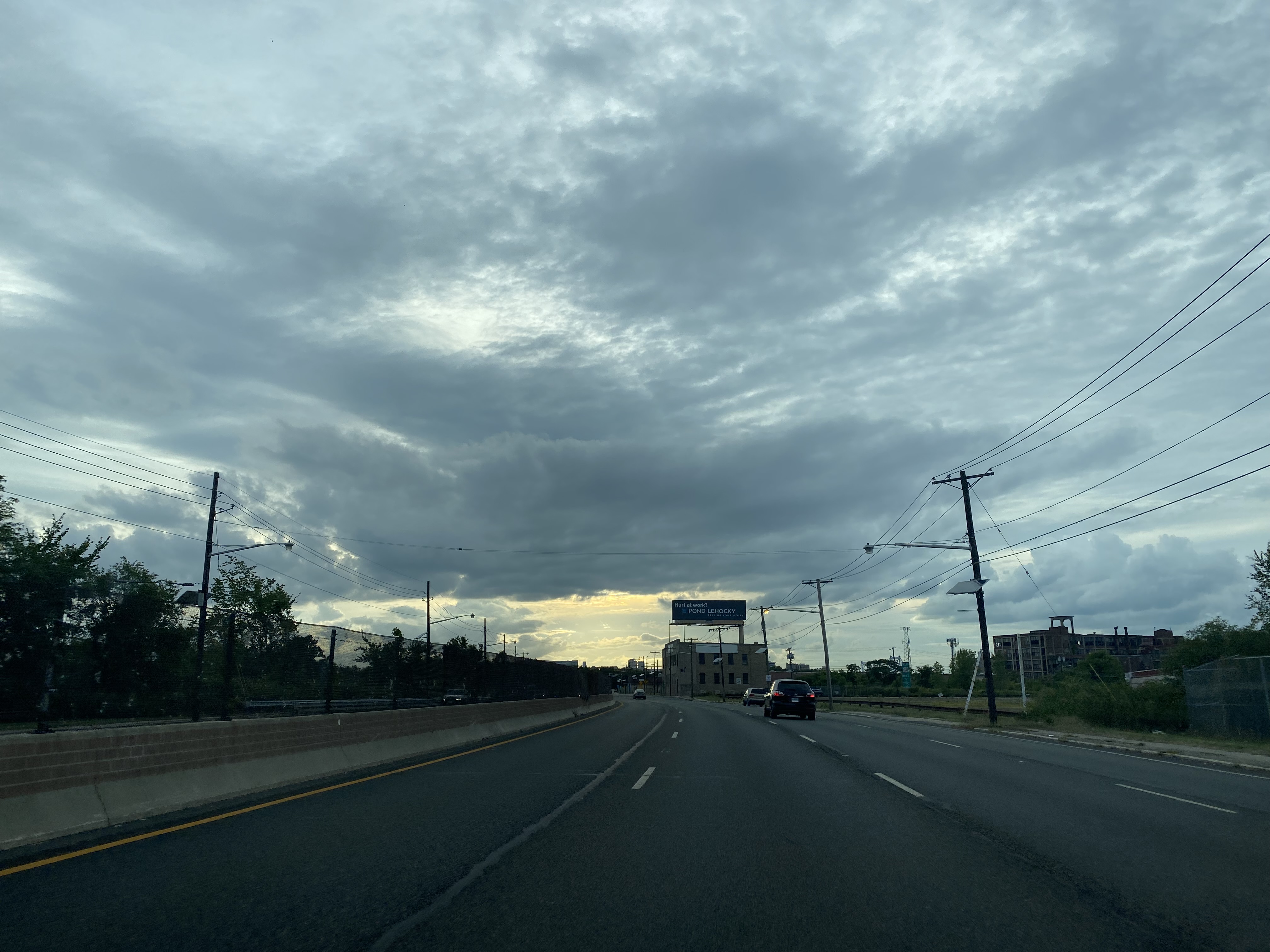
US Route 30 westbound in Camden joins Interstate 676 shortly after crossing the Cooper River.


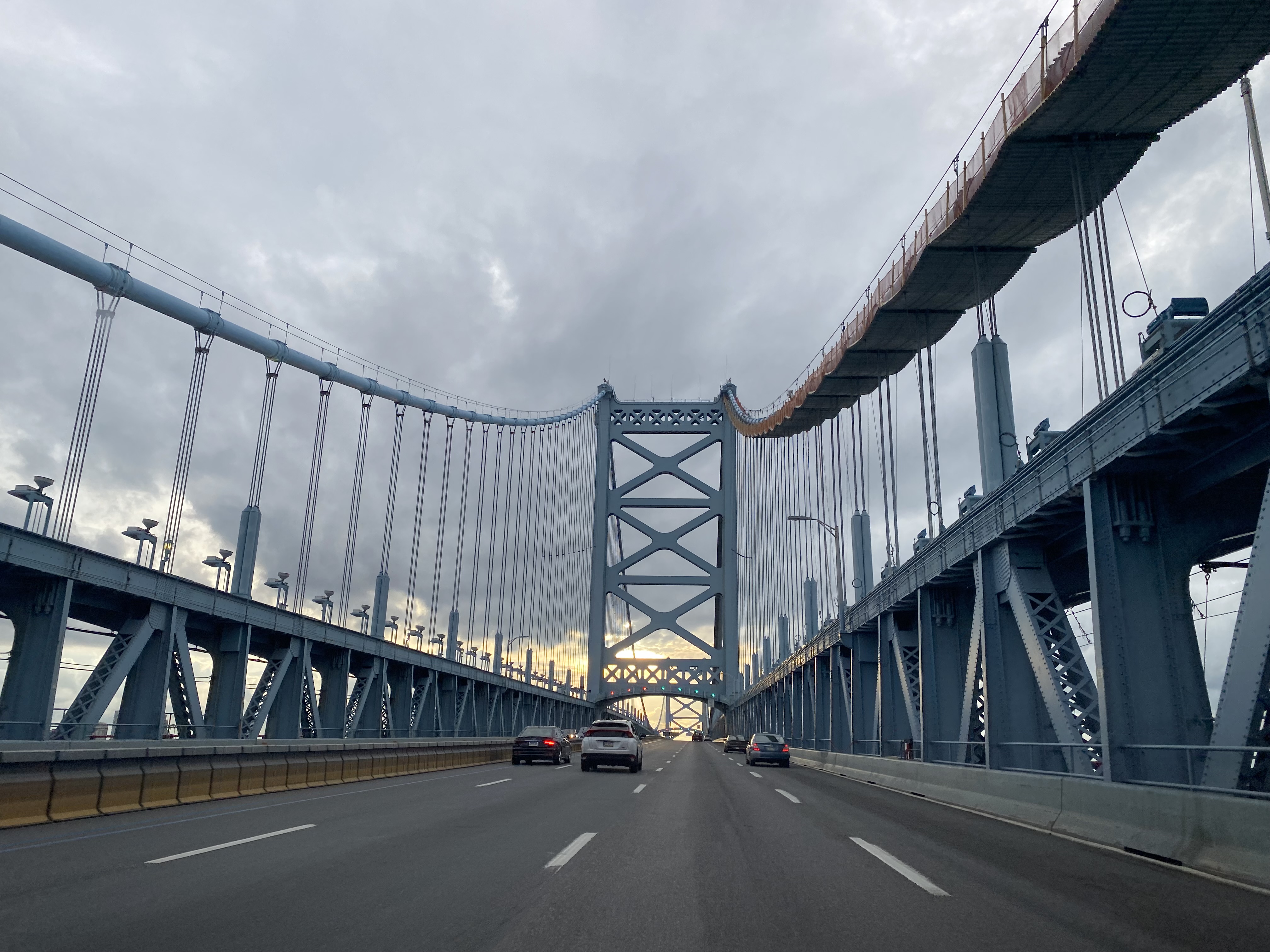
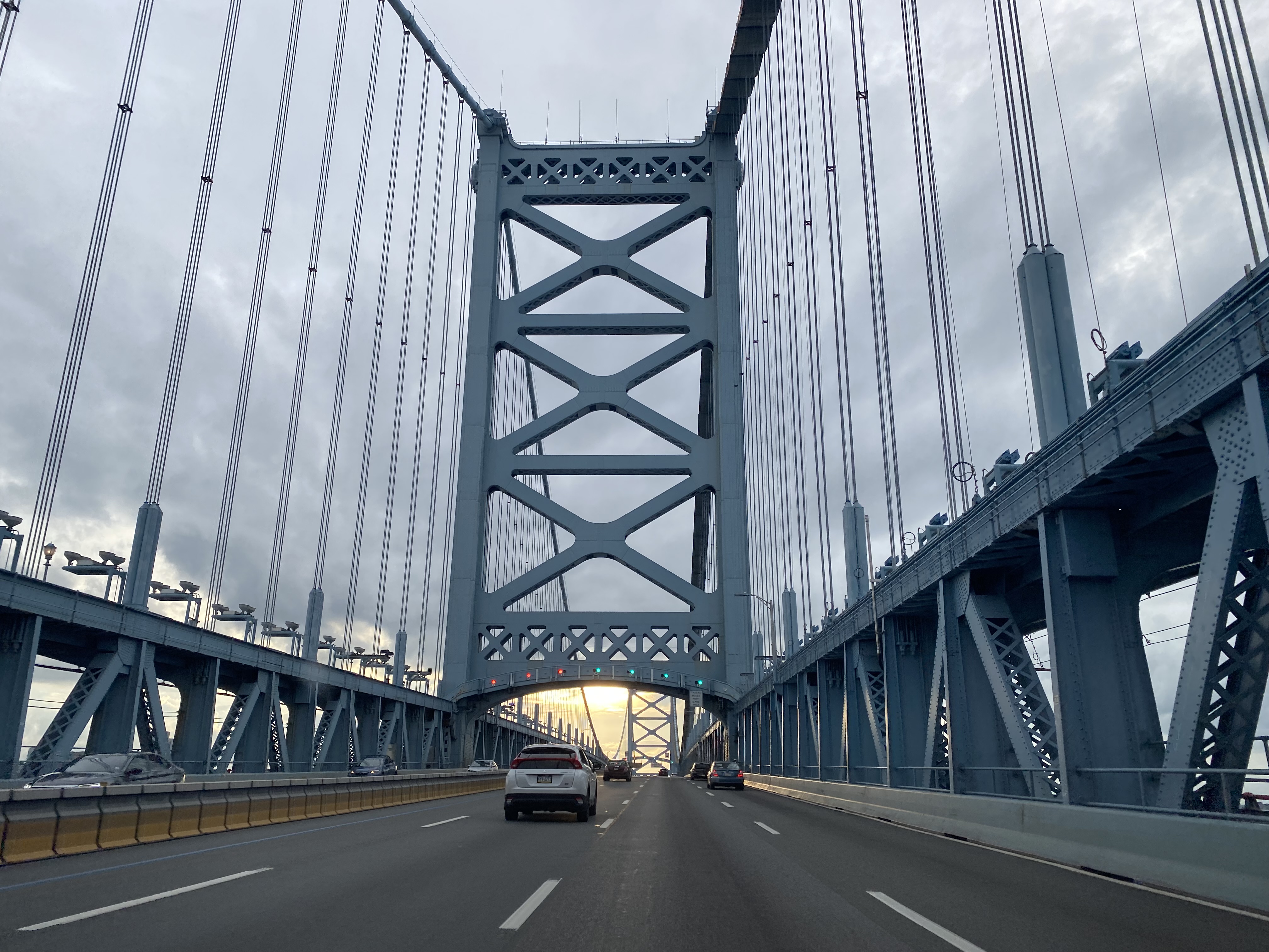
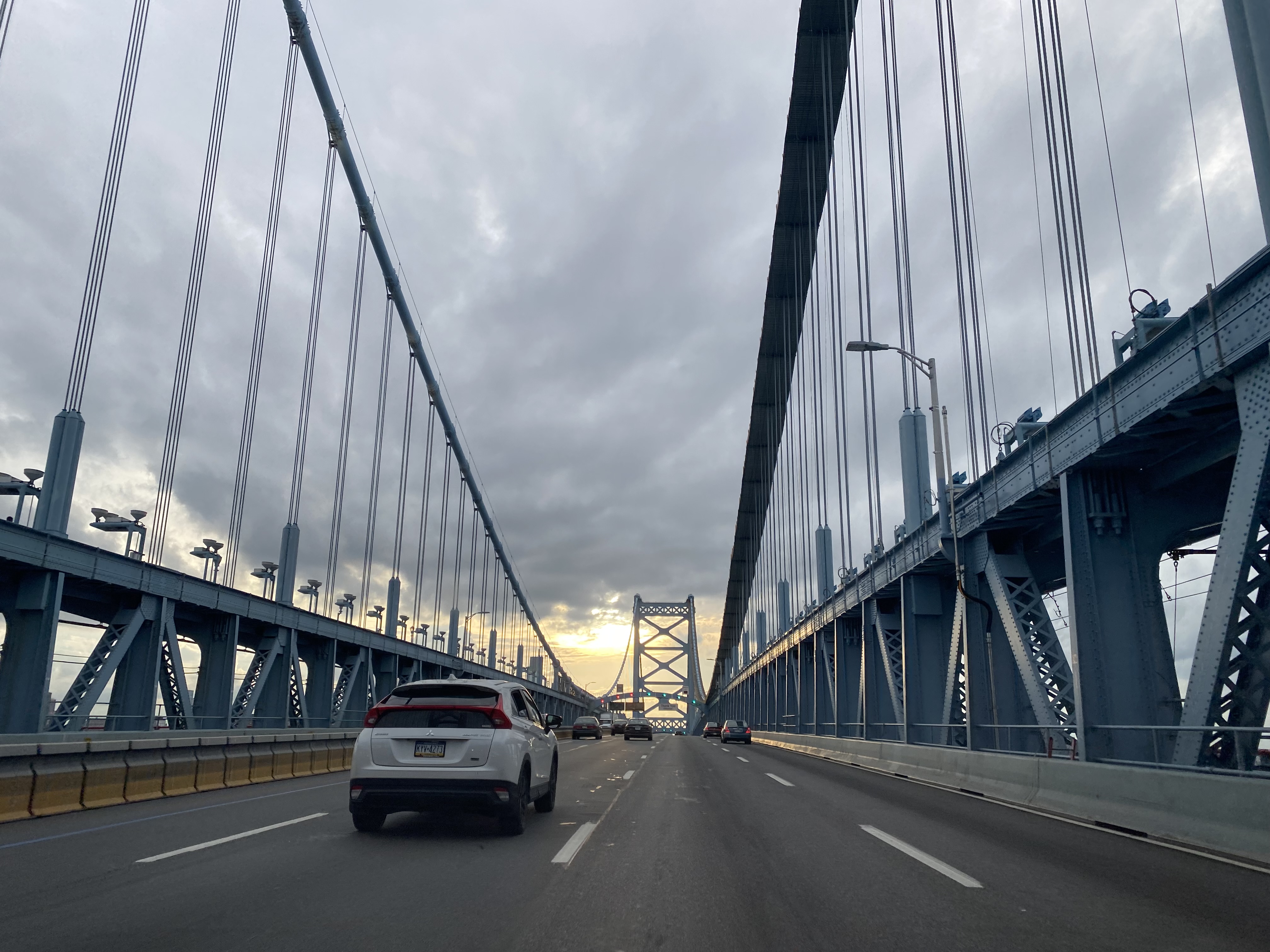
Interstate 676/US Route 30 westbound passes through toll gantries approaching the Benjamin Franklin Bridge. Since 2011 the Benjamin Franklin Bridge has been tolled only westbound. Currently vehicles weighing less than 7,000 pounds are charged a toll of $5.


Interstate 676/US Route 30 crosses the Delaware River westward into Pennsylvania and the city of Philadelphia via the Benjamin Franklin Bridge.


Comments