Maui County Route 305 and Maui County Route 365 comprise segments of what was once Hawaii Route 40 on the Island of Maui. As originally conceptualized Hawaii Route 40 would have traversed the center of Maui which would have connected Hawaii Route 30/Honoapiilani near Wailuku east to Hawaii Route 36/Hana Highway. Modern Maui County Route 305 is a 1.3-mile highway which connects Hawaii Route 30 east to Hawaii Route 380 via Waiko Road. Modern Maui County Route 365 is an 8.6-mile highway which connects from Old Haleakala Highway in Pukalani east to Hawaii Route 360/36. A partially completed Hawaii Route 40 from the vicinity of Pukalani east to Hawaii Route 36/Hana Highway can be seen below on the 1959 Gousha Map of Hawaii.
This page is part of the Gribblenation Hawaii Roads series. A compellation of all Hawaii-related media from both Gribblenation and RoadwayWiz can be found by clicking
here.
Part 1; the history of Hawaii Route 40, Maui County Route 305 and Maui County Route 365The Island of Maui seemingly was not part of the original World War II era Hawaii Route System. Circa 1955 the United States Bureau of Public Roads renumbered the Hawaii Route System. The 1955 Hawaii Route Renumbering saw most of the conventions utilized by the current Hawaii State Route System established. Primary Hawaii Routes were given two-digit numbers whereas Secondary Hawaii Routes were given three-digit numbers. The Hawaii Routes were assigned in sequence for what Island/County they were located on coupled with what Federal Aid Program number they were tied to. In the case of the Island of Maui it was assigned numbers in the range of 30-40.
Hawaii Route 40 can be seen below on the 1959 Gousha Map of Hawaii as a secondary highway. Hawaii Route 40 is shown originate at Hawaii Route 36/Hana Highway to the west of Pukalani. Hawaii Route 40 is displayed as following Kaupakalua Road and Makawao Road to Hawaii Route 37/Haleakala Highway in Pukalani. From Pukalani westward Hawaii Route 40 is shown following Upper Division Road to Pulehu Road.

According to hawaiihighways.com,
Hawaii Route 40 west of Pulehu Road was planned to connect to Hawaii Route 30 near Wailuku. The planned alignment of Hawaii Route 40 would have followed 3.3 miles of unnamed privately road (once known as Waikapu-Waihee Road) through the sugar fields of central Maui and Waiko Road. The planned extension of Hawaii Route 40 appeared on Hawaii Department of Transportation documents through to 1976 but was never constructed. It is unclear if any of Hawaii Route 40 was ever formally adopted as State Highway or always remained under Maui County maintenance. Waiko Road for an unknown time was classified as Maui County Route 400 and was only recently reassigned as Maui County Route 305.
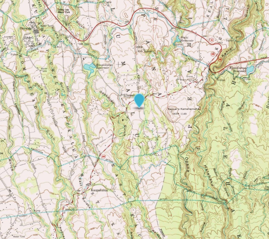
Hawaii Route 40 appears on the 1957 United State Geological Survey map of Haiku between Hawaii Route 36/Hana Highway west to Hawaii Route 37/Haleakala Highway in Pukalani.
Maui County Route 400 between Hawaii Route 36/360 west to Hawaii Route 37 in Pukalani appears on the 1983 United States Geological Survey map of Haiku.
Maui County Route 365 and 400 both appear between Hawaii Route 36/360 west to Hawaii Route 37 in Pukalani appears on the 2013 United States Geological Survey map of Haiku.
Part 2; exploring Maui County Route 305Maui County Route 305 shields can be found on Hawaii Route 30 approaching Waiko Road in Waikupu. Maui County Route 305 eastbound is signed with a single reassurance shield east 1.3 miles to Hawaii Route 380. Trucks over 10,000 pounds are prohibited on Maui County Route 305/Waiko Road.
From Hawaii Route 380 there is no reassurance shields for Maui County Route 305 approaching Waiko Road.
Part 3; a drive on Maui County Route 365
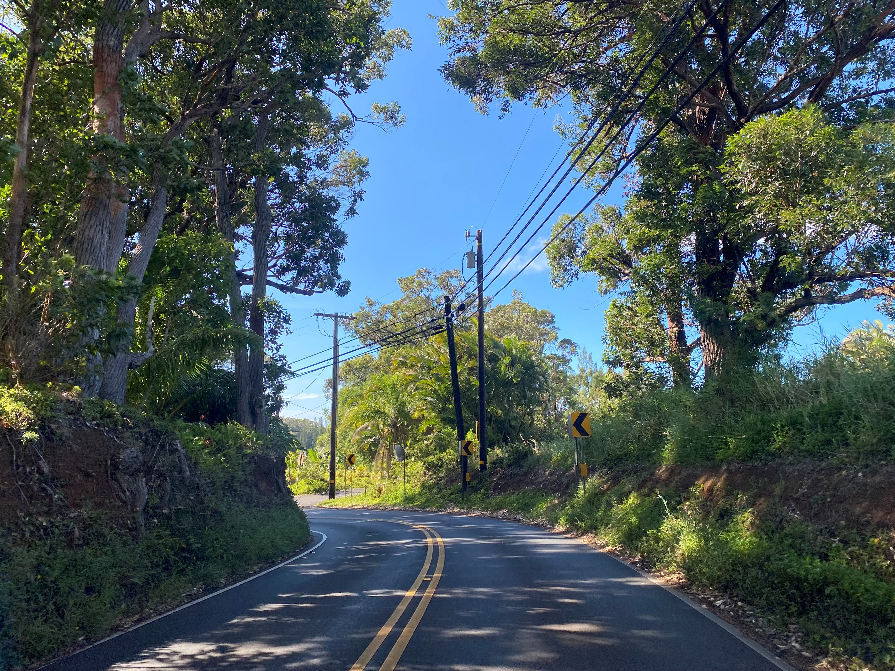
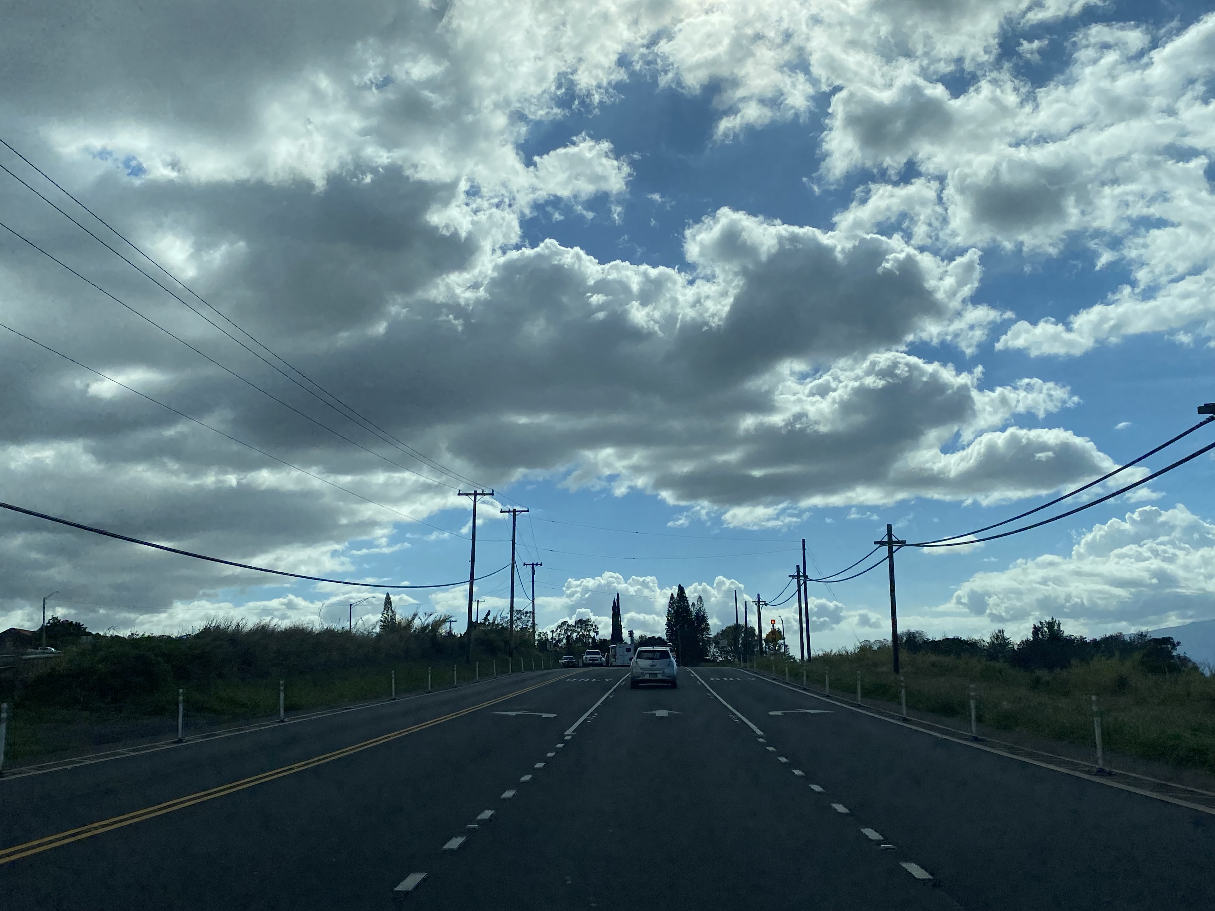
Maui County Route 365 westbound begins as Hana Highway transitions from Hawaii Route 36 onto Hawaii Route 360 at Kaupakalua Road.
Maui County Route 365 follows Kaupakalua Road 5.4-miles west to Kohomo Road/Kailiili Road where it transitions to Makawao Avenue.
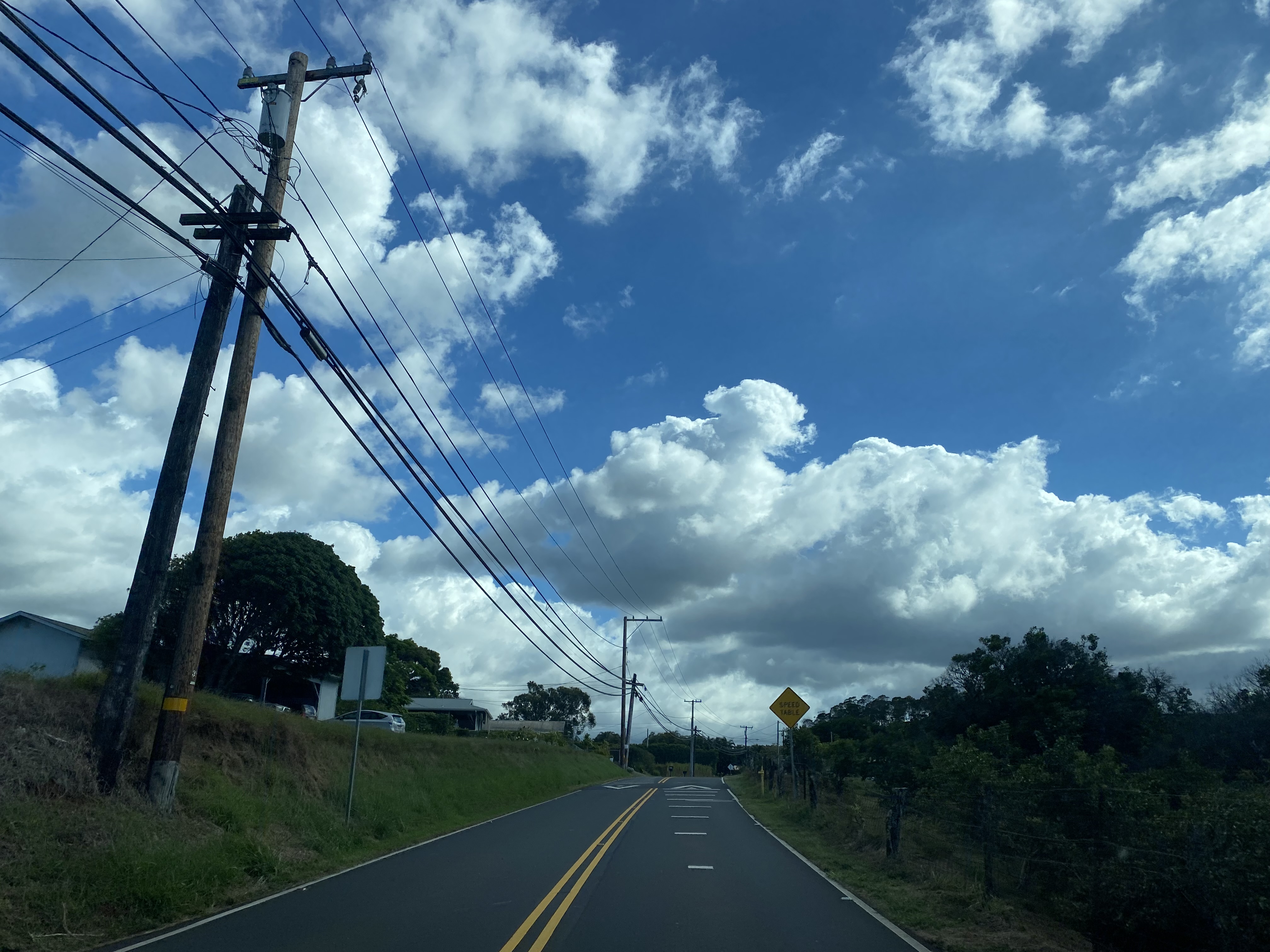
Maui County Route 365 follows Makawao Avenue into Makawao and intersects Maui County Route 390 at Baldwin Avenue.
Maui County Route 365 passes through Makawao and follows Makawao Avenue west to Hawaii Route 37 at modern Haleakala Highway in Pukalani.
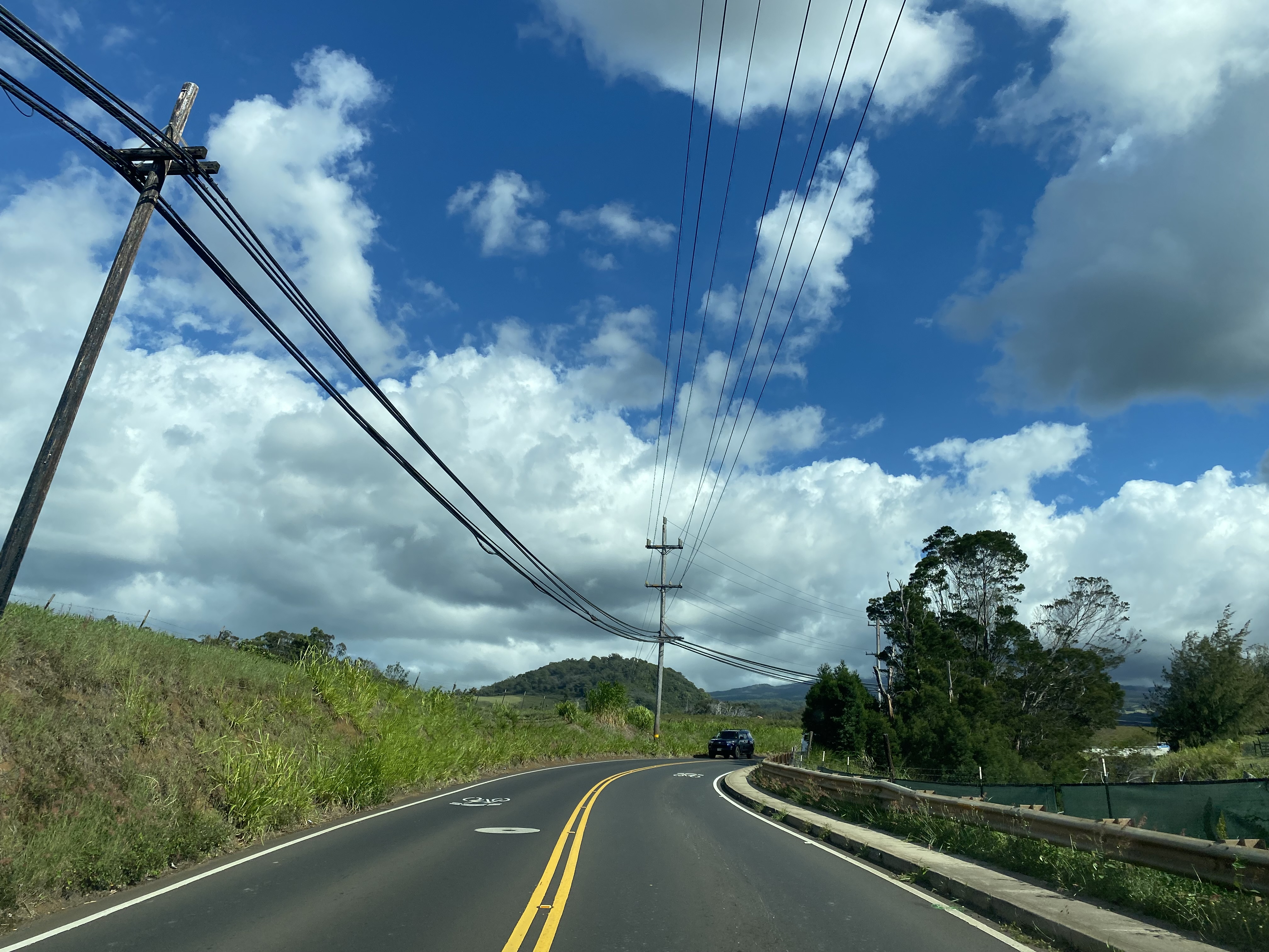
Maui County Route 365 follows Makawao Avenue and terminates at Old Haleakala Highway in Pukalani. For unknown reasons the Hawaii Route 37 signage on Old Haleakala Highway has never been removed and has weathered heavily since the highway has been realigned.


Comments