Route 66 Wednesdays; Winona ghost bridge

A very early US Route 66 in Arizona ran on Townsend-Winona Road between Flagstaff and the community of Winona.   There is an old abandoned truss bridge known as the "Winona Bridge" located just north of Townsend-Winona Road near Copley Road.


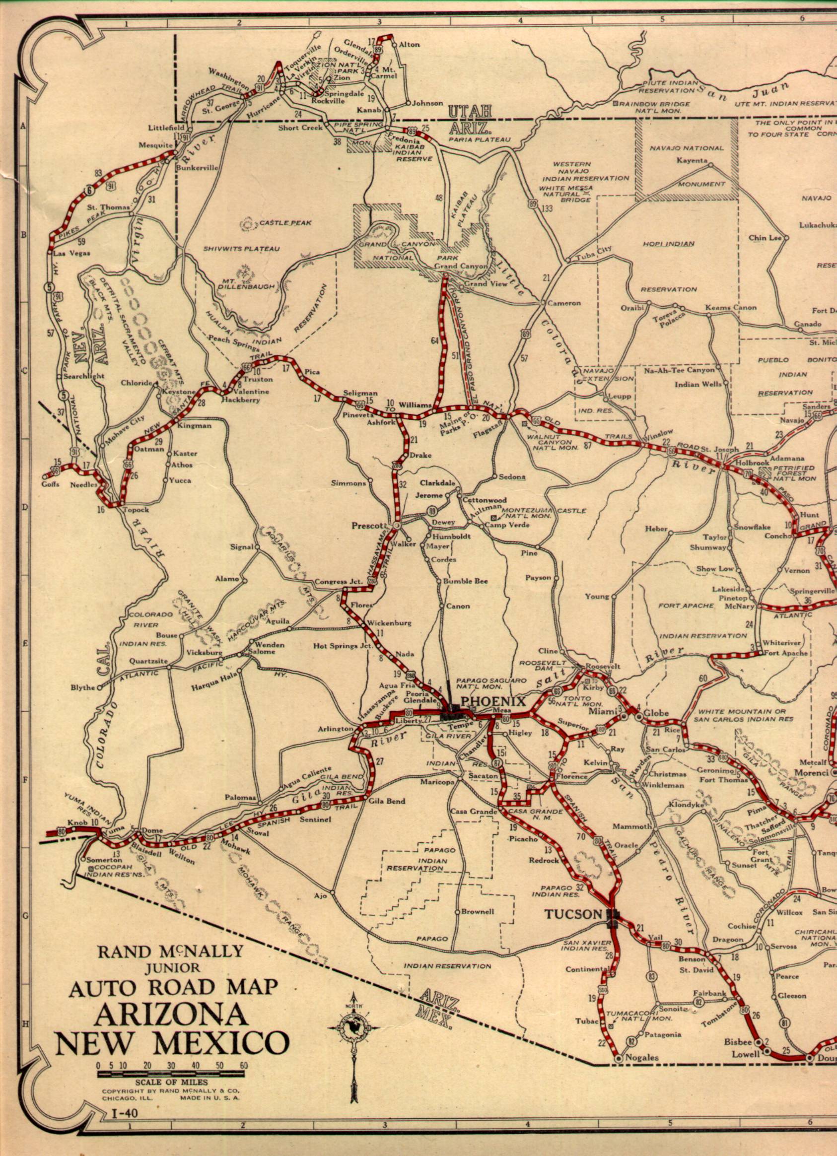
The original alignment of US 66 in Arizona including Townsend-Winona Road can be viewed on this 1927 Highway Map of Arizona.

1927 State Highway Map 

Winona is mostly known for the lyrics "Don't forget Winona" in the Bobby Troup song Route 66.  Winona was apparently established as a small rail siding of the Atlantic & Pacific Railroad known as Walnut near the mount of Walnut Canyon in 1882.  Walnut can be seen between Cosnino and Angell on the 1882 Third Operating Division of the Atlantic & Pacific Railroad map.

1882 A&P Third Operating Division Map


Site Navigation:


Comments

Popular posts from this blog

Former California State Route 180 in Centerville

Centerville is one of the oldest communities in what is now Fresno County having been founded as Scottsburg in 1854.  The Centerville community has historically been tied to the history of the Stockton-Los Angeles Road and the Squaw Valley Road.  The Squaw Valley Road would later be known as Dunlap Road and became a component of California State Route 180 in August 1934.  By the 1940s the corridor was renamed Kings Canyon Road in reference to Kings Canyon National Park.  For the majority of the life of California State Route 180 in Centerville, it has not strayed far from Kings Canyon Road.  This changed in 2020 when California State Route 180 was relocated onto the Kings Canyon Expressway.  This blog serves as an overview of the history of California State Route 180 and general evolution of highways in Centerville.  California State Route 180 can be seen passing through Centerville and Minkler below on the 1935 Division of Highways map of Fresno Count...

New River Gorge National Park & Preserve - Thurmond

New River Gorge National Park and Preserve is best known for whitewater rafting and other forms of adventure tourism.  Yet, found in the hollows and isolated valleys are quiet farms and former coal mining towns.  Well off the beaten path and isolated from much of its surroundings, Thurmond provides a unique view into Central West Virginia's industrial past. Thurmond began as a railroad town in the late 1800s.  Sparked by the arrival of the Chesapeake & Ohio Railroad and the local coal industry, Thurmond quickly grew into a sizeable transportation and coal center.  When it incorporated as a town in 1903, Thurmond was a full-fledged community - home to two banks, two hotels, and many other services and stores. A CSX freight train passes the old coaling tower in Thurmond.  It was here that many steam locomotives would refill and refuel. Thurmond was home to a C&O railyard which serviced the numerous steam engines passing through the narrow valley.  Thu...

The last 1956-63 era California Sign State Route Spade?

Along southbound California State Route 170 (the Hollywood Freeway Extension) approaching the Hollywood Freeway/Ventura Freeway interchange a white California State Route 134 Sign State Route Spade can be observed on guide sign.  These white spades were specifically used during the 1956-63 era and have become increasingly rare.  This blog is intended to serve as a brief history of the Sign State Route Spade.  We also ask you as the reader, is this last 1956-63 era Sign State Route Spade or do you know of others?  Part 1; the history of the California Sign State Route Spade Prior to the Sign State Route System, the US Route System and the Auto Trails were the only highways in California signed with reassurance markers.  The creation of the US Route System by the American Association of State Highway Officials during November 1926 brought a system of standardized reassurance shields to major highways in California.  Early efforts to create a Sign State Route ...