
The City of Merced is the Merced County Seat and presently one of the fastest growing communities in California. Present day California State Route 99 traverses Merced via a freeway through downtown whereas US Route 99 originally could be found on 16th Street.

This blog is part of the larger Gribblenation US Route 99 Page. For more information pertaining to the other various segments of US Route 99 and it's three-digit child routes check out the link the below.

Part 1; the history of US Route 99 in the City of Merced
Merced was settled in 1870 as a siding of the Southern Pacific Railroad. Merced takes it's name from the Merced River and the County of Merced, the latter which was established in 1855. The Southern Pacific Railroad laid the groundwork for development of San Joaquin Valley. Previous to the Southern Pacific Railroad travel via wagon or foot in Central California tended to avoid San Joaquin Valley in favor of the Stockton-Los Angeles Road. The Stockton Los Angeles Road lied to the east of San Joaquin Valley in the Sierra Nevada Foothills and was less subject flooding. Before the Southern Pacific Railroad most of San Joaquin Valley was a sparsely inhabited wetland which made travel by road difficult. Merced can along the Southern Pacific Railroad on the 1873 Oregon, California, & Nevada Railroad Map.

Prior to the construction of the Southern Pacific Railroad the Merced County Seat was located in Snelling. Snelling is located on the Merced River and what was the Stockton-Los Angeles Road. Snelling had been selected as the Merced County Seat in 1857 but the community began to decline in importance as the Southern Pacific Railroad established a reliable corridor of travel through the heart of San Joaquin Valley. Subsequently the Merced County Seat was moved to the community of Merced in 1872 to take advantage of it's location on the Southern Pacific Railroad. Merced would continue to grow late into the 19th Century and would incorporate as a City during April of 1889.
The emergence of the automobile in the early 20th Century in California led to the 1909 First State Highway Bond Act which was approved by voters during 1910. The majority of the highways approved as part of the First State Highway Bond Act were largely well established routes of travel. One such highway was Legislative Route Number 4 ("LRN 4") which was defined as a highway from "Sacramento to Los Angeles."
Merced was also selected as the terminus of LRN 18 as part of the 1909 First State Highway Bond Act. As originally defined in the First State Highway Bond Act LRN 18 was plotted between Merced east to Mariposa.
A very early LRN 4 in Merced can be seen on the 1917 California State Automobile Association Map. LRN 4 can be seen following 16th Street south through downtown Merced.


The 1924 Rand McNally Highway Map of California provides more detail on the alignment LRN 4 and the Inland Route in Merced. Just as with the 1917 CSAA Highway Map LRN 4 can be seen following 16th Street through Merced on a frontage of the Southern Pacific Railroad.


Thusly US 99 appears on the 1925 Rand McNally Map of California as being plotted on the LRN 4 through Merced.

During November of 1926 the US Route System was approved by the AASHO. US 99 can be seen aligned through Merced via 16th Street 1927 National Map Company Sectional Map.

US 99/LRN 4 can be seen in the image below crossing Bear Creek headed southbound into downtown Merced. The "Merced Gateway to Yosemite Arch" was present until on US 99/LRN 4 until the Bear Creek Bridge was replaced in 1940.

Merced saw another State Highway added in 1933 in the form of LRN 123. LRN 123 was plotted as follows:
- "LRN 4 near Merced southerly to LRN 32
- "LRN 4 near Merced to Snelling"
In the August 1934 California Highways & Public Works the Sign State Routes were announced. California State Route 140 ("CA 140") was announced as being plotted over the entirety of LRN 18. The western terminus of CA 140/LRN 18 was at US 99/LRN 4 in downtown Merced at the intersection of 16th Street/M Street.

US 99/LRN 4 and CA 140/LRN 18 can be seen in detail traversing Merced on the 1935 California Division of Highways Map. US 99/LRN 4 can be seen on 16th Street whereas CA 140/LRN 18 westbound can be seen entering Merced via 21st Street and terminating at US 99/LRN 4 via M Street. LRN 123 can be seen entering Merced via what is now Martin Luther King Jr. Way and departing towards Snelling via Snelling Highway.
By 1938 CA 140 had been extended west from Merced via LRN 122 to CA 33 in Gustine which can be seen on the 1938 Division of Highways State Map. CA 140 is shown to be realigned in Merced and joining US 99/LRN 4 near what is now Orchard Lane. US 99 and CA 140 multiplexed west through downtown via 16th Street where the latter split away at V Street.

LRN 122 had been adopted into the State Highway System during 1933 along what was known as River Road. LRN 122 moved off of River Road during 1937 when became a westward extension of CA 140.
The Ocotber 1941 California Highways & Public Works discusses the widening of US 99/LRN 4 in the Mecred Area. The improvements to US 99/LRN 4 in the Merced saw several new bridges installed, namely at Bear Creek in 1940 which saw the removal of the Redwood Gateway Arch.


In 1961 CA 59 was added as a Sign State Route over the entirety of LRN 123. CA 59 originally multiplexed US 99/CA 140 on 16th Street in downtown Merced from R Street (Martin Luther King Jr. Way) to Snelling Highway. CA 59 first appears on the 1962 Division of Highways State Map.

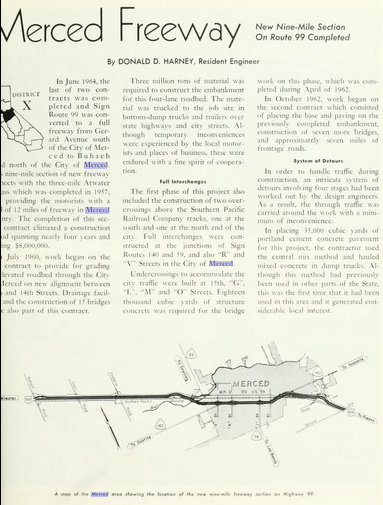
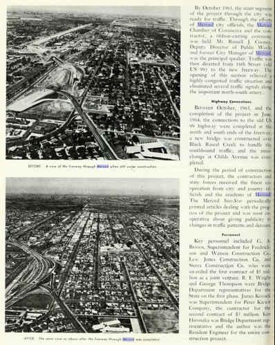
The July/August 1964 California Highways & Public Works announced the completion of the Merced Freeway realignment of US 99 in Merced. The Merced Freeway is cited to have begun during July of 1960 and opened between Gerard Avenue north to the Atwater Bypass in June 1964. Upon the completion of the Merced Freeway CA 140 moved to a multiplex of US 99 from 16th Street to V Street. CA 59 subsequently moved to a multiplex of US 99 from R Street (current Martin Luther King Jr. Way) to V Street.


Part 2; a drive on former US Route 99 through Merced on 16th Street
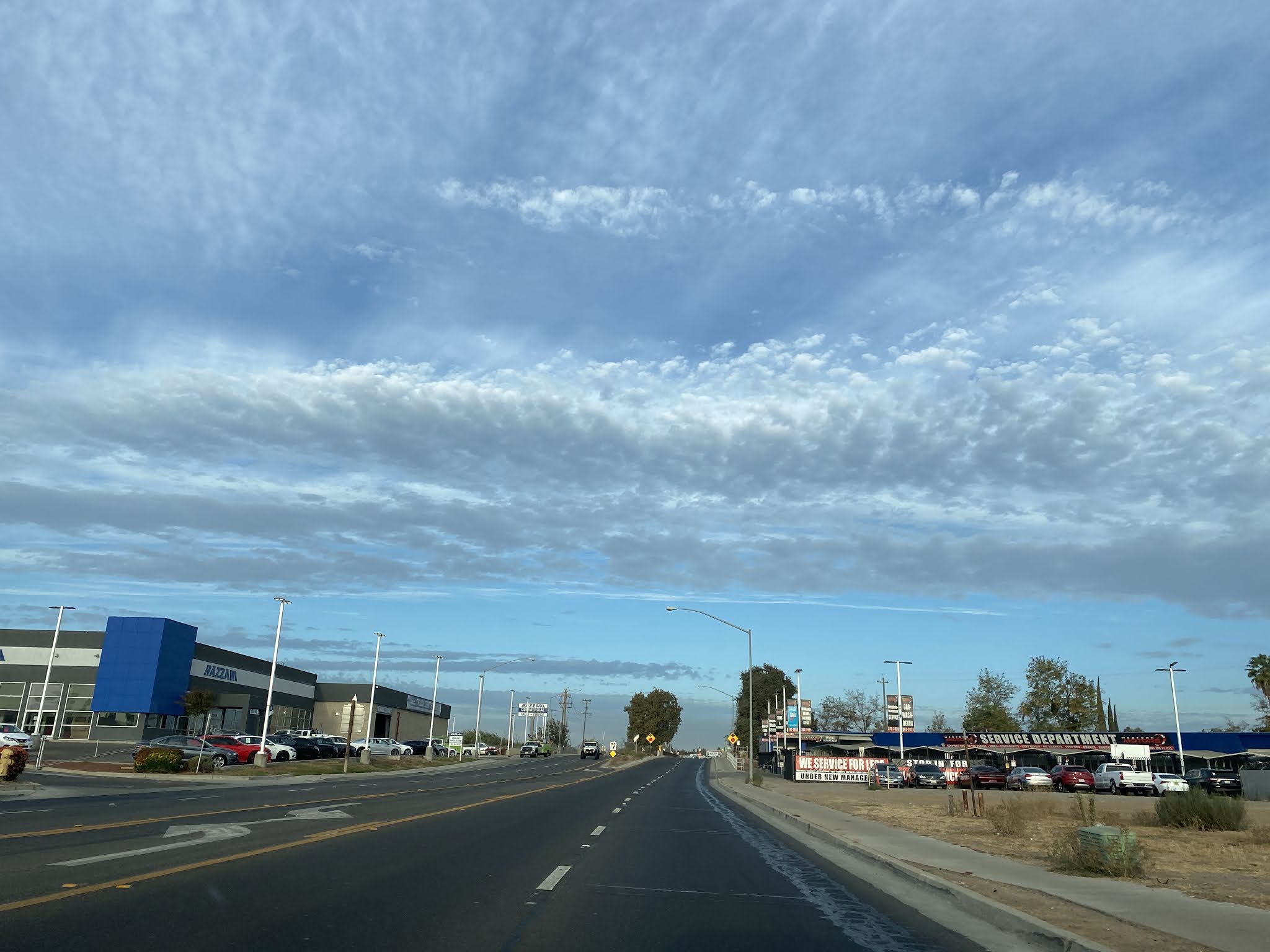
Our drive on former US 99 in Merced begins from CA 99 northbound Exit 186B which empties onto CA 140/Yosemite Parkway.


When CA 140 was moved to Yosemite Parkway it originally merged with US 99/16th Street via a direct path which would be located roughly where the CA 99 north/CA 140 west freeway ramp is now. Yosemite Parkway now makes a southward jog under the CA 99 freeway to 16th Street.


Old US 99/16th Street begins south of the modern CA 99 Freeway. As Old US 99/16th Street travels west it crosses under the CA 99 Freeway near D Street.


As Old US 99/16th Street travels west through downtown Merced it intersects Martin Luther King Jr. Way which was where it once picked up CA 59 northbound.


As Old US 99/16th Street continues west it intersects V Street where it picks up present CA 59. CA 140 would have departed from US 99 westward towards Gustine via V Street.


Old US 99/16th Street west of V Street is co-signed as CA 59/CA 99 Business.

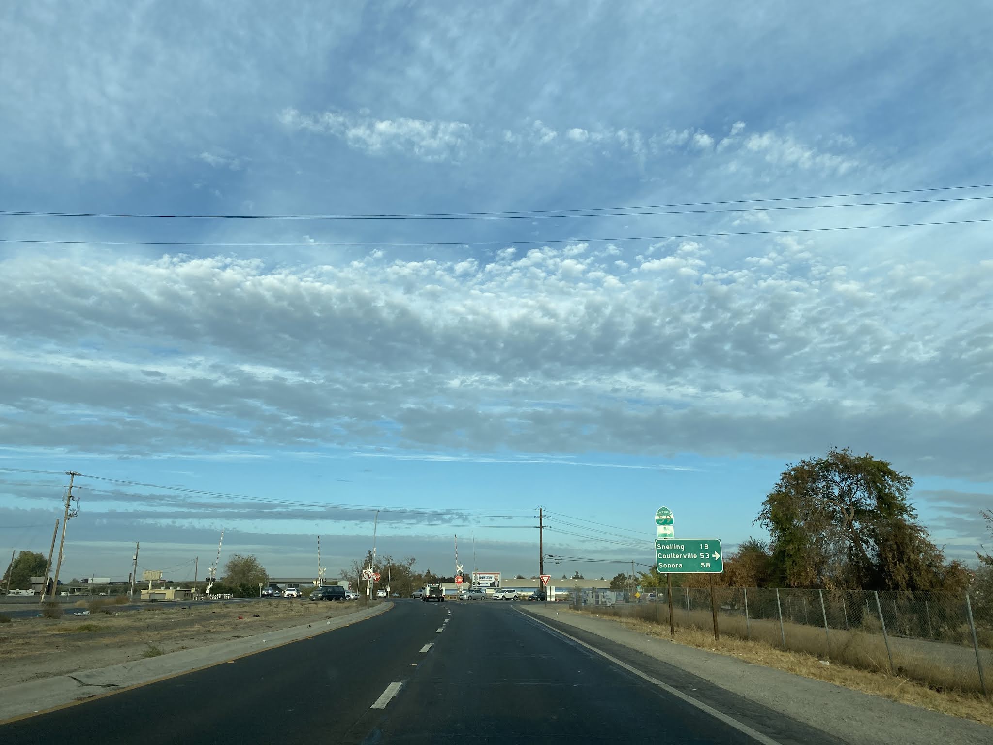
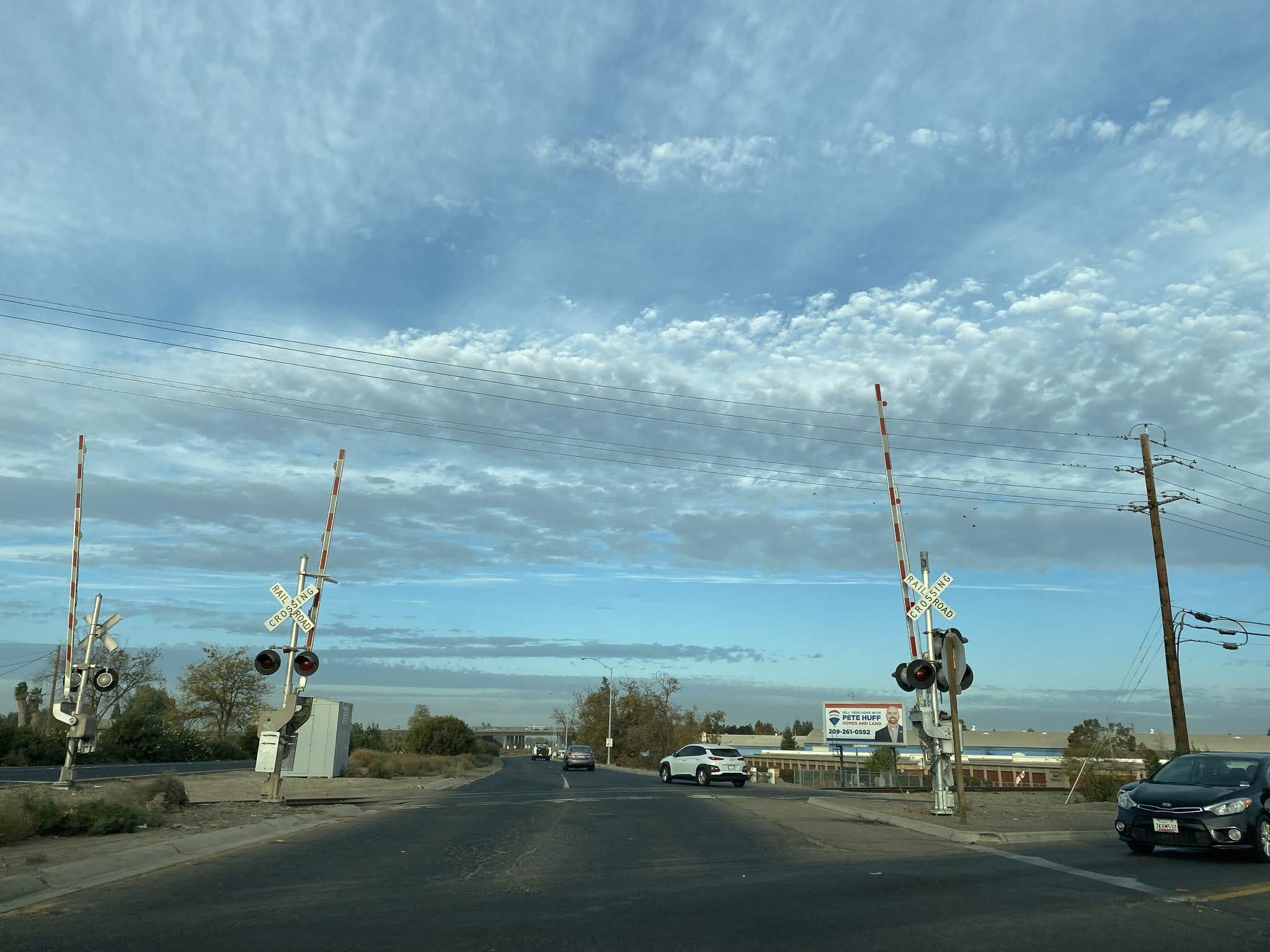
Old US 99/16th Street crosses the 1940 Bear Creek Bridge and intersects Snelling Highway where CA 59 departs northward. The Gateway to Yosemite Arch in the cover photo of this blog as noted was located at Bear Creek.

Old US 99/16th Street crosses a set of rails at terminates at the CA 99 Freeway.


Comments