Recently I drove the southern most section of US Route 395 from Kramer Junction to Interstate 15. This particular section of US 395 is infamous for being a dangerous sub-standard desert highway and most interestingly part of California State Route 95.

US 395 was extended southward into California during an AASHTO meeting in June of 1934 according to CAhighways.org. Interestingly the California Signed State Highways were created just before US 395 was extended. That being the case the route of US 395 took over the alignment of various State Highways:
- From the Oregon State Border to the Nevada State Border US 395 was routed over CA 7 on Legislative Route Numbers 73 and 29.
- From the Nevada State Line near Topaz Lake US 395 was routed over CA 7 on LRN 95 and LRN 23 south to CA 95/LRN 145 near Inyokern.
- From LRN 23 the path of US 395 assumed the entire route of CA 95 on LRN 145 south to US 66/LRN 31 near Cajon Summit.
- From LRN 145 the alignment of US 395 was co-signed with US 66/LRN 31 into San Bernardino to LRN 43.
- From US 66/LRN 31 the route of US 395 was signed over LRN 43 to US 60/LRN 19.
- From LRN 43 the route of US 395 multiplexed on US 60/LRN 19 to CA 740/LRN 78.
- From US 60/LRN 19 the route of US 395 followed CA 740/LRN 78 to Parris where route 740 (what a weird number) split away. US 395 remained signed LRN 78 to CA 71/LRN 77.
- From LRN 78 the route of US 395 assumed the route of CA 71/LRN 77 to US 80 in San Diego.
The only known State Highway Map to show the actual 1934 State Highways that were replaced by US Routes was a Department of Public Works Publication from said year. The Department of Public Works guide contains a map on Page 21 showing the Signed State Highways and a guide describing where they were to be located on Page 20/32.
1934 Department of Public Works Guide
Since this blog primarily focuses on the section of US 395 that was part of CA 95/LRN 145 it should be noted that the later was adopted as a State Highways in 1933 according to CAhighways.org.
CAhighways.org on LRN 145
CAhighways.org on US 395
The first State Highway Map published showing US 395 clearly was the 1936-1937 edition.
1936-37 State Highway Map
US 395 was likely truncated to it's present terminus in Hesperia at present I-15 likely in 1970. According to CAhighways.org the US 395 signage south of Hesperia may have been in place until 1973.
So with the history of US 395 above in mind, how much has the route changed since it was signed as CA 95 on LRN 145 from Kramer Junction south to US 66? The answer is surprisingly very little as the 1935 California Division of Highways Map of San Bernardino County indicates that US 395 essentially is on the same alignment that CA 95 was.
1935 Division of Highways Map of San Bernardino County
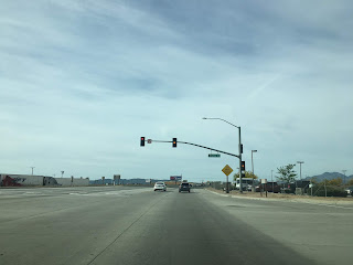
My approach to US 395 south was from CA 58 east in Kramer Junction. Interestingly San Bernardino is signed as the control city at the CA 58/US 395 junction.

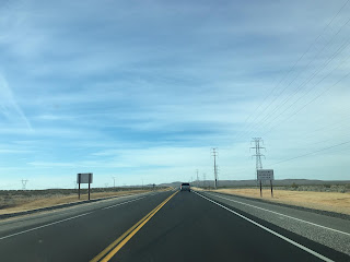
US 395 south of Kramer Junction quickly drops to a two-lane no passing zone area that signed as a Safety Corridor. US 395 south of Kramer Junction is known for heavy truck traffic and a high rate of accidents.


CA 18 is signed as 34 miles to the south and I-15 at 41 miles on US 395.

Traffic is advised to have headlights running during daylight hours.
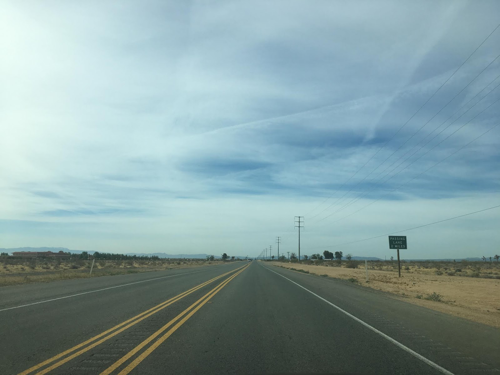
A new passing zone is about to open south of Kramer Junction and is presently being constructed.


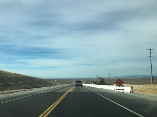


The new passing zone near Kramer Junction will be a welcome addition as the first existing zone is a surprisingly long way south of CA 58.


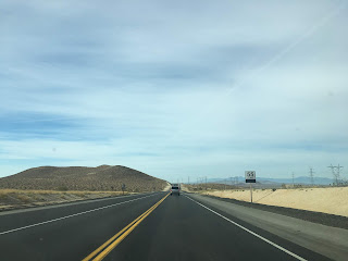
The first major road to meet US 395 south of Kramer Junction is about 21.5 miles away at Shadow Mountain Road.


The guide sign south of Shadow Mountain Road shows CA 18 15 miles away whereas I-15 is signed as 22 miles away.

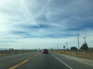
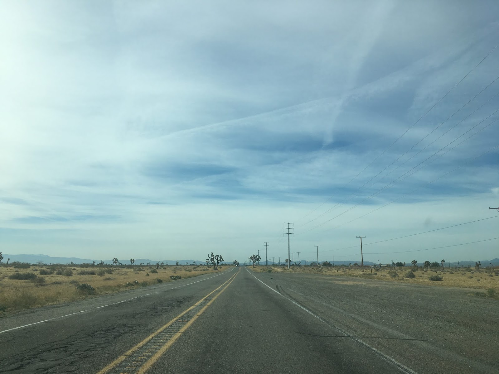
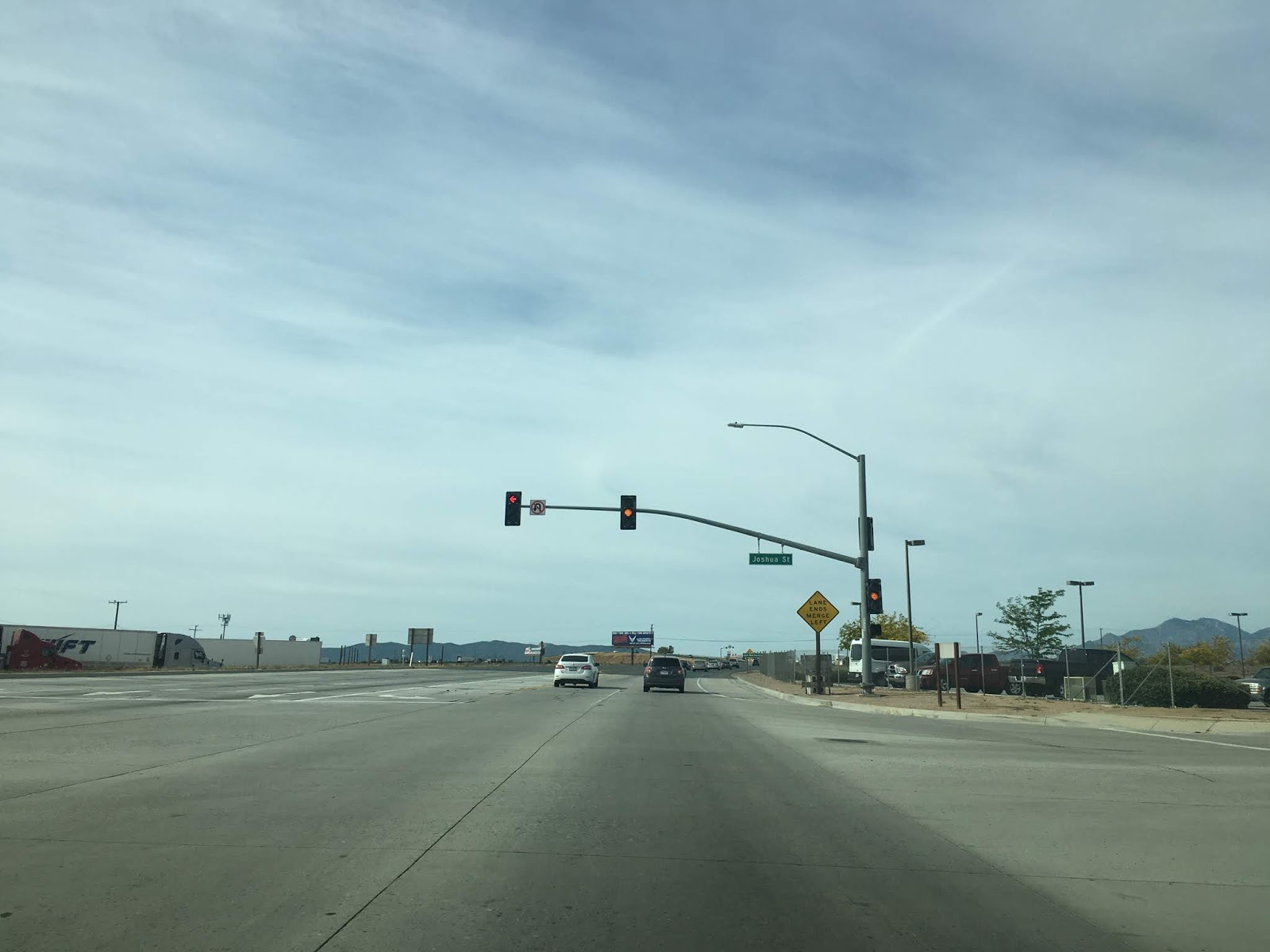
US 395 south utilizes another passing zone and passes through a grove of Joshua Trees before entering the City of Adelanto.


US 395 briefly expands to four lanes in Adelanto before dropping back to two south of Barlett Avenue.


US 395 progresses through Adelanto southward and meets CA 18 at Palmdale Road.


US 395 enters Victorville south of CA 18 before entering Hesperia near the California Aqueduct. US 395 south continues to I-15 where it terminates at the freeway near Cajon Pass. US 395 unfortunately is not given proper end signage at I-15, a shame indeed for what overall is a very grand highway.


US 395 was extended southward into California during an AASHTO meeting in June of 1934 according to CAhighways.org. Interestingly the California Signed State Highways were created just before US 395 was extended. That being the case the route of US 395 took over the alignment of various State Highways:
- From the Oregon State Border to the Nevada State Border US 395 was routed over CA 7 on Legislative Route Numbers 73 and 29.
- From the Nevada State Line near Topaz Lake US 395 was routed over CA 7 on LRN 95 and LRN 23 south to CA 95/LRN 145 near Inyokern.
- From LRN 23 the path of US 395 assumed the entire route of CA 95 on LRN 145 south to US 66/LRN 31 near Cajon Summit.
- From LRN 145 the alignment of US 395 was co-signed with US 66/LRN 31 into San Bernardino to LRN 43.
- From US 66/LRN 31 the route of US 395 was signed over LRN 43 to US 60/LRN 19.
- From LRN 43 the route of US 395 multiplexed on US 60/LRN 19 to CA 740/LRN 78.
- From US 60/LRN 19 the route of US 395 followed CA 740/LRN 78 to Parris where route 740 (what a weird number) split away. US 395 remained signed LRN 78 to CA 71/LRN 77.
- From LRN 78 the route of US 395 assumed the route of CA 71/LRN 77 to US 80 in San Diego.
The only known State Highway Map to show the actual 1934 State Highways that were replaced by US Routes was a Department of Public Works Publication from said year. The Department of Public Works guide contains a map on Page 21 showing the Signed State Highways and a guide describing where they were to be located on Page 20/32.
1934 Department of Public Works Guide
Since this blog primarily focuses on the section of US 395 that was part of CA 95/LRN 145 it should be noted that the later was adopted as a State Highways in 1933 according to CAhighways.org.
CAhighways.org on LRN 145
CAhighways.org on US 395
The first State Highway Map published showing US 395 clearly was the 1936-1937 edition.
1936-37 State Highway Map
US 395 was likely truncated to it's present terminus in Hesperia at present I-15 likely in 1970. According to CAhighways.org the US 395 signage south of Hesperia may have been in place until 1973.
So with the history of US 395 above in mind, how much has the route changed since it was signed as CA 95 on LRN 145 from Kramer Junction south to US 66? The answer is surprisingly very little as the 1935 California Division of Highways Map of San Bernardino County indicates that US 395 essentially is on the same alignment that CA 95 was.
1935 Division of Highways Map of San Bernardino County
My approach to US 395 south was from CA 58 east in Kramer Junction. Interestingly San Bernardino is signed as the control city at the CA 58/US 395 junction.

US 395 south of Kramer Junction quickly drops to a two-lane no passing zone area that signed as a Safety Corridor. US 395 south of Kramer Junction is known for heavy truck traffic and a high rate of accidents.


CA 18 is signed as 34 miles to the south and I-15 at 41 miles on US 395.

Traffic is advised to have headlights running during daylight hours.

A new passing zone is about to open south of Kramer Junction and is presently being constructed.


The new passing zone near Kramer Junction will be a welcome addition as the first existing zone is a surprisingly long way south of CA 58.


The first major road to meet US 395 south of Kramer Junction is about 21.5 miles away at Shadow Mountain Road.


The guide sign south of Shadow Mountain Road shows CA 18 15 miles away whereas I-15 is signed as 22 miles away.

US 395 south utilizes another passing zone and passes through a grove of Joshua Trees before entering the City of Adelanto.


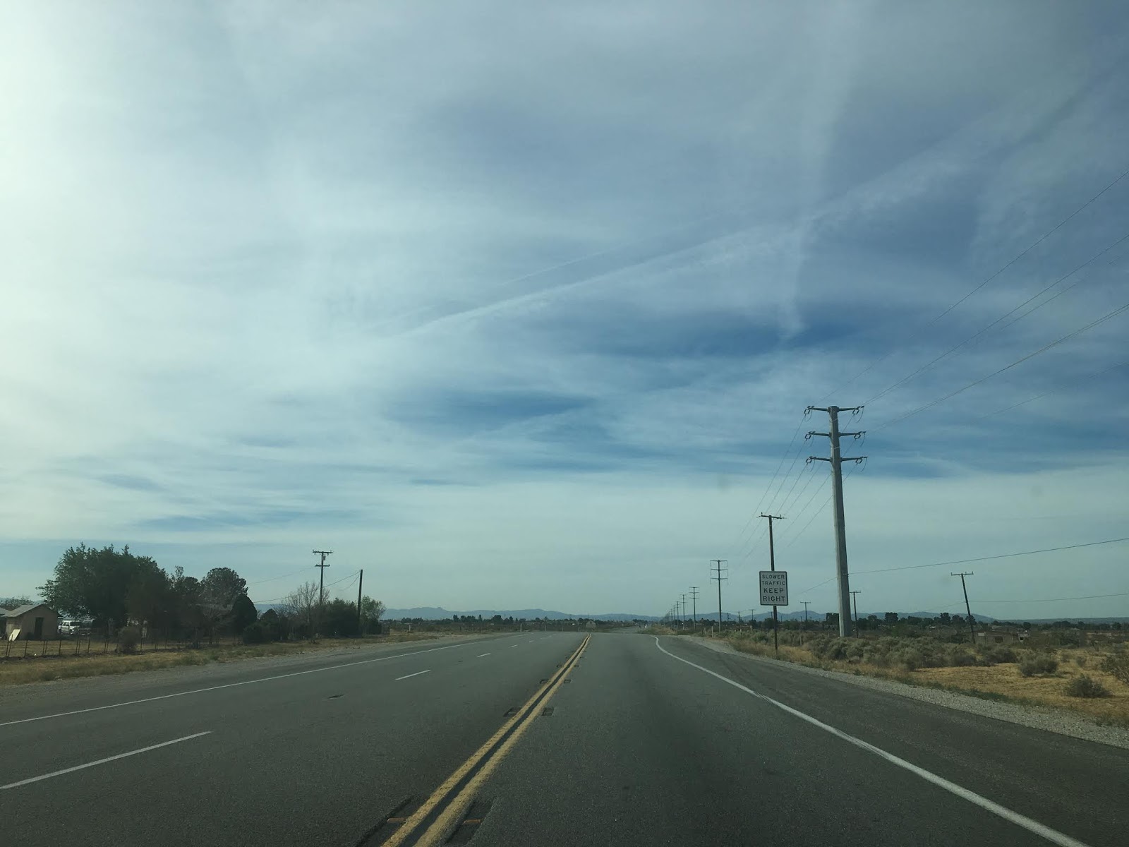

US 395 briefly expands to four lanes in Adelanto before dropping back to two south of Barlett Avenue.


US 395 progresses through Adelanto southward and meets CA 18 at Palmdale Road.


US 395 enters Victorville south of CA 18 before entering Hesperia near the California Aqueduct. US 395 south continues to I-15 where it terminates at the freeway near Cajon Pass. US 395 unfortunately is not given proper end signage at I-15, a shame indeed for what overall is a very grand highway.


Comments