This past weekend I drove the entirety of Los Angeles County Route N2 from California State Route 138 in Antelope Valley east to Palmdale.

Los Angeles County Route N2 is an approximately 38.42 mile Signed County Route which straddles the Sierra Pelona Mountains above Antelope Valley of the Mojave Desert. As a Signed County Route N2 dates back to 1963 and was plotted along the planned corridor realignment of CA 138 that never was constructed. N2 is also notable for incorporating part of the original path of US Route 99 on the Old Ridge Route and mostly being aligned directly over the San Andreas Fault.
CAhighways.org on Los Angeles County Route N2
The planned and ultimately cancelled realignment of CA 138 was covered previously in the California State Route 138 blog.
California State Route 138
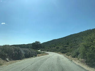
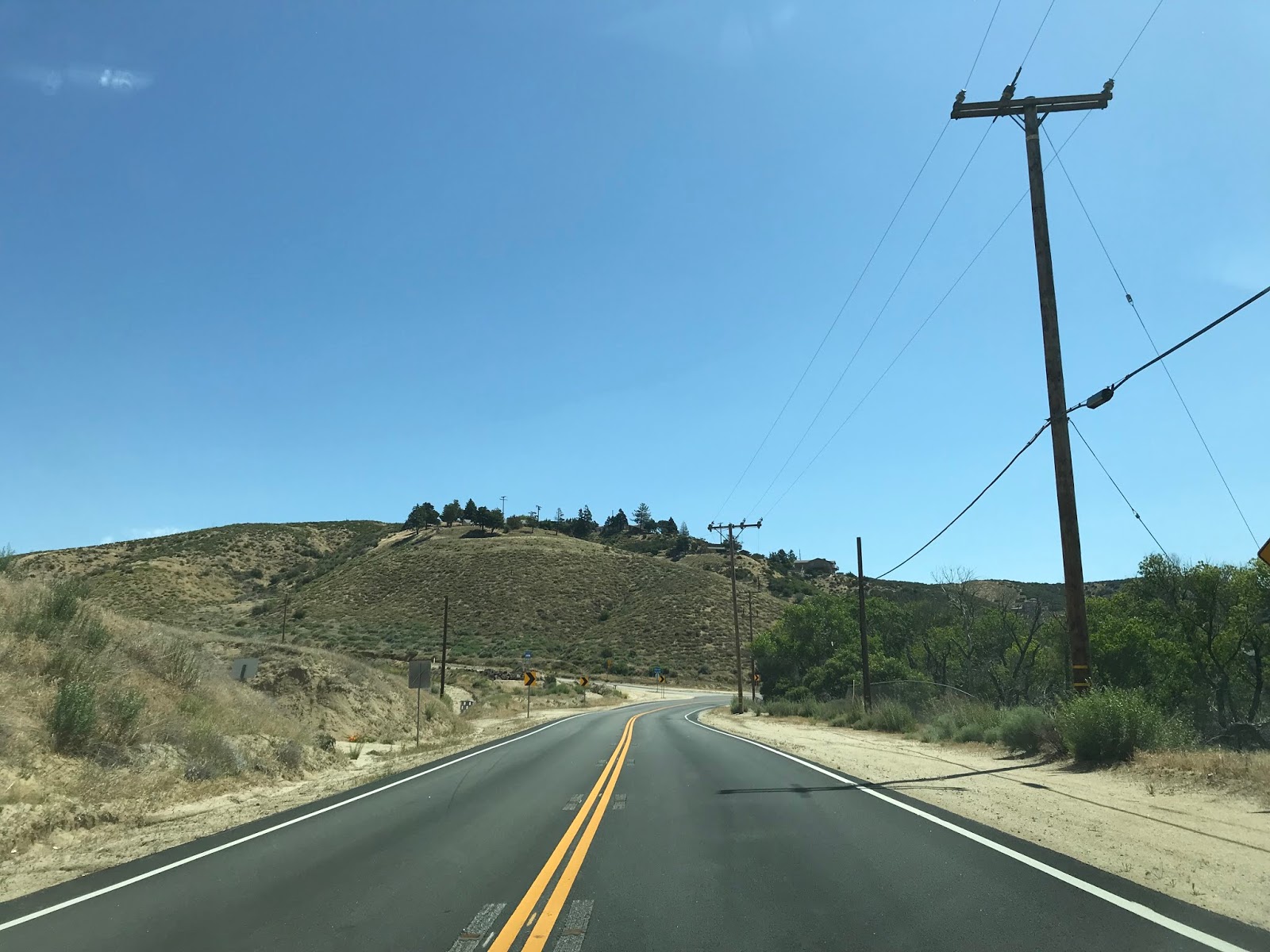
My approach to N2 was on CA 138 east in Antelope Valley. N2 is initially signed on the Old Ridge Route.


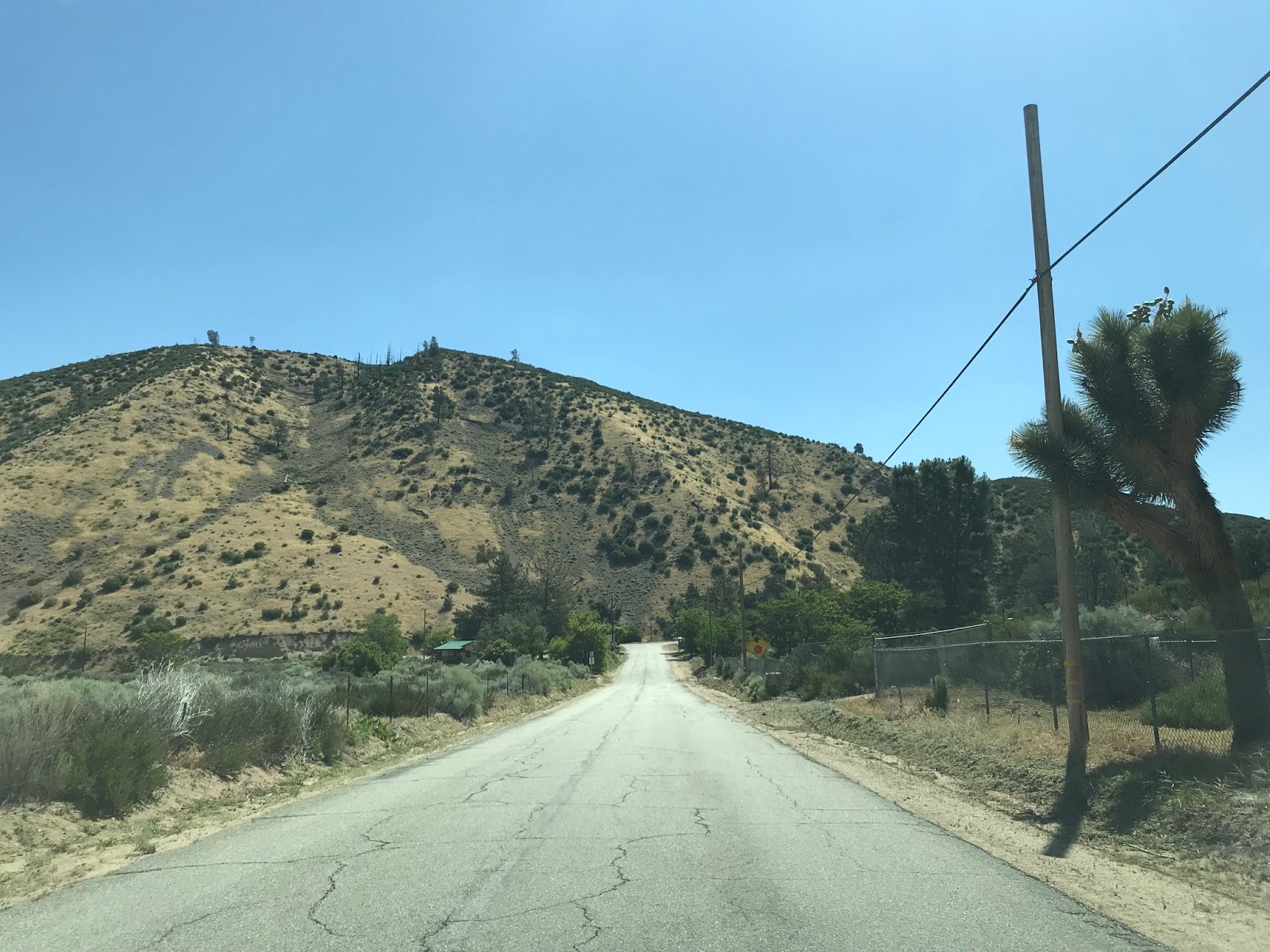
N2 makes the climb in the Sierra Pelona Mountains and makes a eastern turn at Pine Canyon Road.


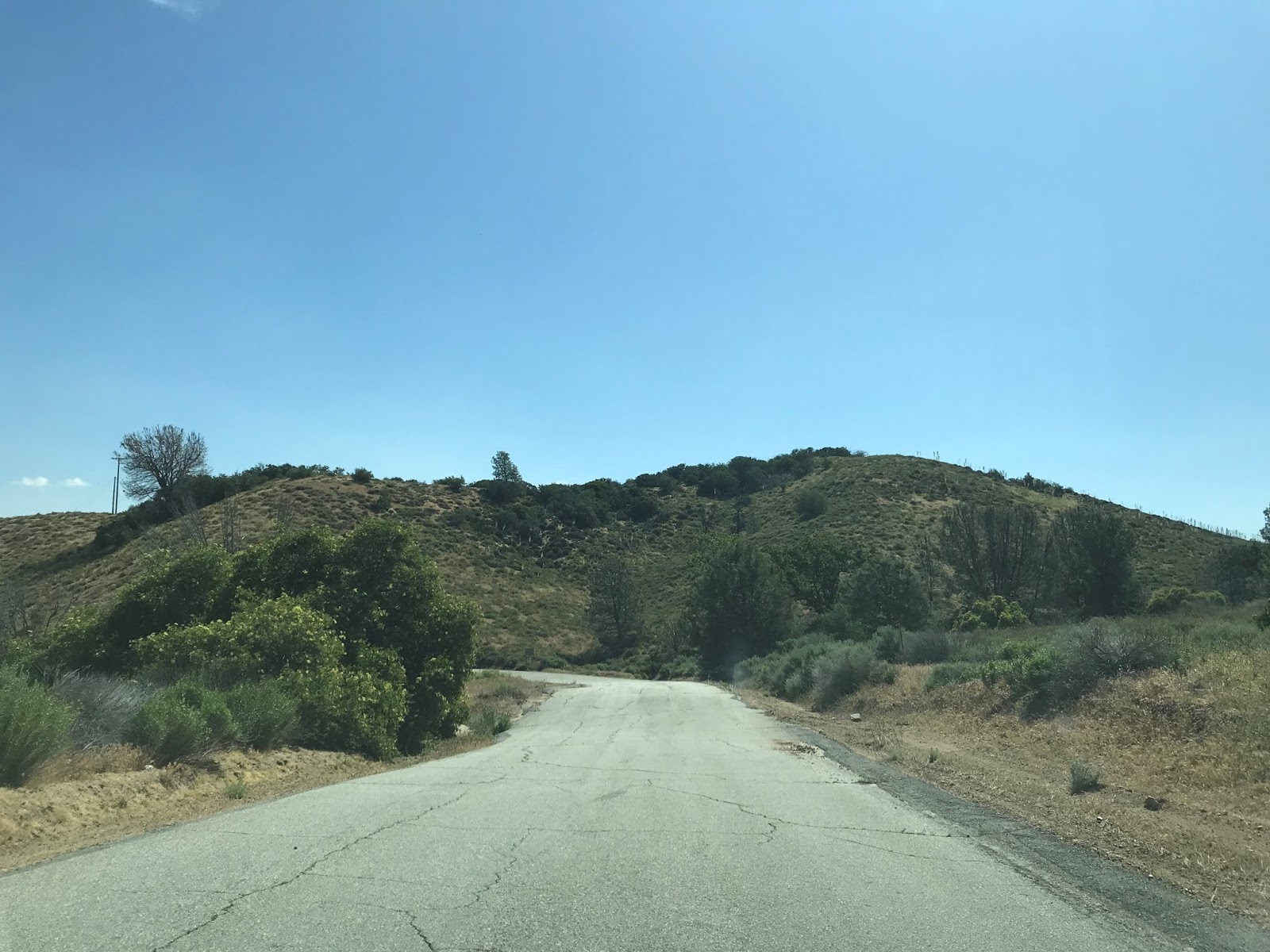
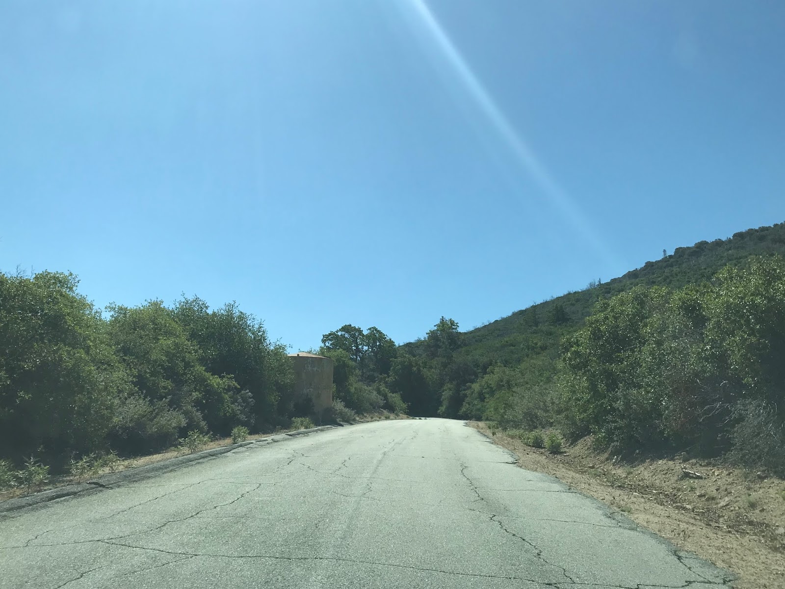
The Old Ridge Route continues southward through Angeles National Forest. Unfortunately it the Old Ridge Route is no longer serves a through route due to the a lack of maintenance and a closure gate placed by the Forest Service.

The Old Ridge Route was an infamous section of highway which was opened as part of Legislative Route Number 4 in 1912. The Old Ridge Route replaced the much earlier route of the Stockton-Los Angeles Road and El Camino Viejo through San Francisquito Canyon. Suffice to say the history of the Old Ridge Route warranted it's own blog which can be found below.
Legend of the Ridge Route
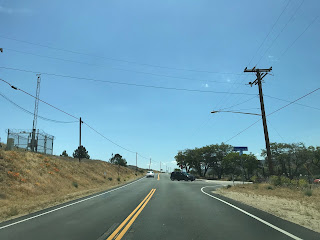
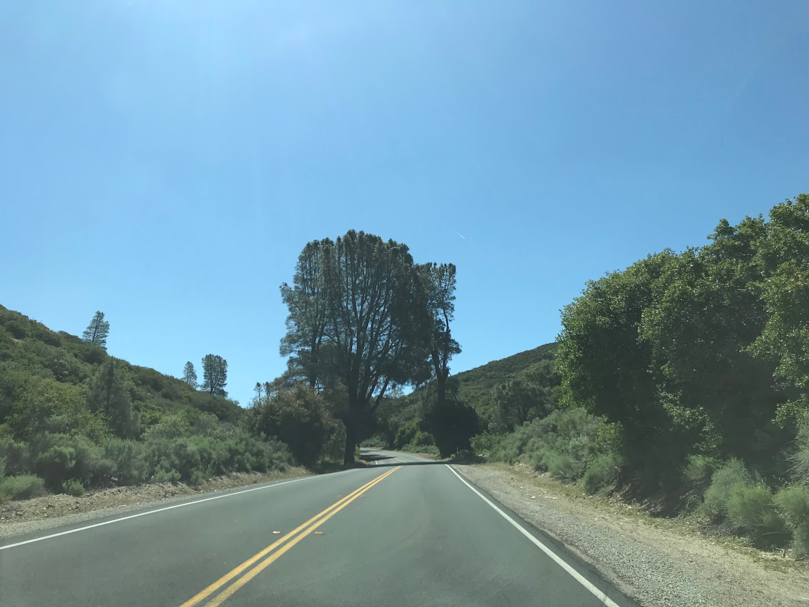
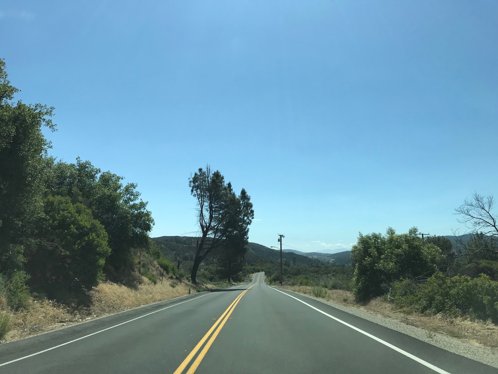
N2 continues east along Pine Canyon Road for the next 16.90 miles. From the Old Ridge Route east to Three Points the route of N2 is a single lane on Pine Canyon Road. N2 on Pine Canyon Road laps the terrain high above Antelope Valley and offers several vistas of the Mojave Desert.


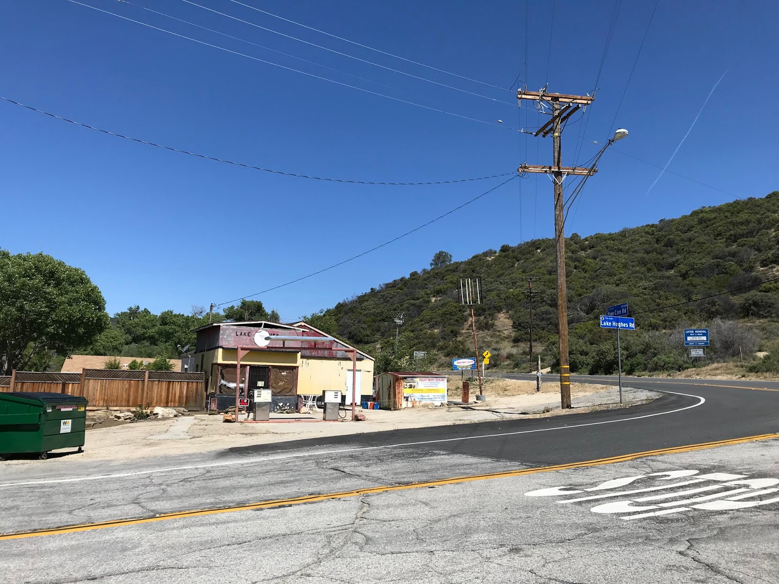
In Three Points the route of N2 on Pine Canyon Road meets Three Points Road and widens to a conventional two-lane configuration. Hughes Lake and Elizabeth Lake are signed as the next control points east on N2. Three Points dates back to an 1890s homestead in northern Los Angeles County. The home at the corner of Pine Canyon Road and Three Points Road was once a gas station/diner that was constructed sometime between 1912-1924.


Lakes Hughes is signed as being 10 miles away and Elizabeth Lake as 14 miles away on eastbound N2.

N2 eastbound straddles the San Andreas Fault to Hughes Lake.


Lake Hughes is a sag pond of the San Andreas Fault which is located at an elevation of approximately 3,200 feet above sea level. Lake Hughes was a known watering point on El Camino Viejo and the Stockton-Los Angeles Road which served as an alternate source to Elizabeth Lake. The community of Lake Hughes dates back to the 1920s when the area was promoted as a summer resort.


N2 eastward from Lake Hughes shifts onto Elizabeth Lake Road and follows the shore of Elizabeth Lake to Munz Ranch Road. Munz Ranch Road was a known access point for travels on the Stockton-Los Angeles Road to travel directly north to Old Tejon Pass.


Elizabeth Lake much like Hughes Lake is another sag pond of the San Andreas Fault. Elizabeth Lake much like Lake Hughes was also a well known stopping point of El Camino Viejo and the Stockton-Los Angeles Road. Elizabeth Lake was first named La Laguna de Diable in 1780 by Spanish explorer Junipero Serra due to a local tribal legends stating that a demon lived in the depths. The lake came to be known as Elizabeth Lake by 1849 when a traveler by the name of Elizabeth Wingfield fell in by accident while camping on the shores.
N2 continues on Elizabeth Lake Road where it meets San Francisquito Canyon Road just east of the lake. San Francisquito Canyon Road is where travels on El Camino Viejo and the Stockton Los Angeles Road descended towards modern day Santa Clarita.


N2 continues east on Elizabeth Lake Road to Leona Valley.


Leona Valley has been the site of ranching to since the Mexican Period of Alta California. Leona Valley began to develop into an actual community in the 1910s when the ranches began to subdivide. There is a small historic marker for the 1915 Leona Valley Schoolhouse alongside N2 on Elizabeth Lake Road.

East of Leona Valley N2 on Elizabeth Lake Road continues into Palmdale where it meets CA 14/CA 138 at the Antelope Valley Freeway. CA 138 east continues directly ahead on Palmdale Boulevard whereas CA 14 continues southwest on the Antelope Valley Freeway towards Santa Clarita.


Los Angeles County Route N2 is an approximately 38.42 mile Signed County Route which straddles the Sierra Pelona Mountains above Antelope Valley of the Mojave Desert. As a Signed County Route N2 dates back to 1963 and was plotted along the planned corridor realignment of CA 138 that never was constructed. N2 is also notable for incorporating part of the original path of US Route 99 on the Old Ridge Route and mostly being aligned directly over the San Andreas Fault.
CAhighways.org on Los Angeles County Route N2
The planned and ultimately cancelled realignment of CA 138 was covered previously in the California State Route 138 blog.
California State Route 138
My approach to N2 was on CA 138 east in Antelope Valley. N2 is initially signed on the Old Ridge Route.


N2 makes the climb in the Sierra Pelona Mountains and makes a eastern turn at Pine Canyon Road.


The Old Ridge Route continues southward through Angeles National Forest. Unfortunately it the Old Ridge Route is no longer serves a through route due to the a lack of maintenance and a closure gate placed by the Forest Service.

The Old Ridge Route was an infamous section of highway which was opened as part of Legislative Route Number 4 in 1912. The Old Ridge Route replaced the much earlier route of the Stockton-Los Angeles Road and El Camino Viejo through San Francisquito Canyon. Suffice to say the history of the Old Ridge Route warranted it's own blog which can be found below.
Legend of the Ridge Route
N2 continues east along Pine Canyon Road for the next 16.90 miles. From the Old Ridge Route east to Three Points the route of N2 is a single lane on Pine Canyon Road. N2 on Pine Canyon Road laps the terrain high above Antelope Valley and offers several vistas of the Mojave Desert.


In Three Points the route of N2 on Pine Canyon Road meets Three Points Road and widens to a conventional two-lane configuration. Hughes Lake and Elizabeth Lake are signed as the next control points east on N2. Three Points dates back to an 1890s homestead in northern Los Angeles County. The home at the corner of Pine Canyon Road and Three Points Road was once a gas station/diner that was constructed sometime between 1912-1924.


Lakes Hughes is signed as being 10 miles away and Elizabeth Lake as 14 miles away on eastbound N2.

N2 eastbound straddles the San Andreas Fault to Hughes Lake.


Lake Hughes is a sag pond of the San Andreas Fault which is located at an elevation of approximately 3,200 feet above sea level. Lake Hughes was a known watering point on El Camino Viejo and the Stockton-Los Angeles Road which served as an alternate source to Elizabeth Lake. The community of Lake Hughes dates back to the 1920s when the area was promoted as a summer resort.


N2 eastward from Lake Hughes shifts onto Elizabeth Lake Road and follows the shore of Elizabeth Lake to Munz Ranch Road. Munz Ranch Road was a known access point for travels on the Stockton-Los Angeles Road to travel directly north to Old Tejon Pass.


Elizabeth Lake much like Hughes Lake is another sag pond of the San Andreas Fault. Elizabeth Lake much like Lake Hughes was also a well known stopping point of El Camino Viejo and the Stockton-Los Angeles Road. Elizabeth Lake was first named La Laguna de Diable in 1780 by Spanish explorer Junipero Serra due to a local tribal legends stating that a demon lived in the depths. The lake came to be known as Elizabeth Lake by 1849 when a traveler by the name of Elizabeth Wingfield fell in by accident while camping on the shores.
N2 continues on Elizabeth Lake Road where it meets San Francisquito Canyon Road just east of the lake. San Francisquito Canyon Road is where travels on El Camino Viejo and the Stockton Los Angeles Road descended towards modern day Santa Clarita.


N2 continues east on Elizabeth Lake Road to Leona Valley.


Leona Valley has been the site of ranching to since the Mexican Period of Alta California. Leona Valley began to develop into an actual community in the 1910s when the ranches began to subdivide. There is a small historic marker for the 1915 Leona Valley Schoolhouse alongside N2 on Elizabeth Lake Road.

East of Leona Valley N2 on Elizabeth Lake Road continues into Palmdale where it meets CA 14/CA 138 at the Antelope Valley Freeway. CA 138 east continues directly ahead on Palmdale Boulevard whereas CA 14 continues southwest on the Antelope Valley Freeway towards Santa Clarita.


Comments