This past April I drove a large portion 230 Kilometer portion of King's Highway 401 from KH 403 near Woodstock to KH 3 in Windsor.

KH 401 is largest 400 series freeway in the Province of Ontario spanning 828 Kilometers/514.5 Miles from Ojobway Parkway in Windsor east to Auto Route 20 in the Quebec Provincial line. KH 401 carries a segment of freeway in Toronto which has an average daily traffic volume of 416,500 vehicles a day which makes it the busiest road in North America. KH 401 opened in segments from 1947 through 1968 while the current number designation dates to 1952.
My approach to KH 401 west was from the south terminus of KH 403 near Woodstock of Oxford County.


Windsor is signed as being 225 KM away from Woodstock on KH 401.

Near Woodstock KH 401 west has one of the many On-Route service plazas. the On-Route plazas are similar to service plazas that are usually found on American Toll-Ways.


At Exit 218 KH 401 west meets KH 19 on Plank Line Road.


West of KH 19 the route of KH 401 enters Middlesex County the Municipality of Thames Center.

KH 401 west in Thames Center has a truck inspection station.


KH 401 west next passes through the City of London and has a major junction with KH 402.


At Exit 177 B-A KH 401 west meets KH 4 on Colonel Talbot Road.


West of KH 4 the route of KH 401 enters Elgin County.

The Elgin County segment of KH 401 west includes another On-Route plaza.


KH 401 west next enters the Municipality of Chatham-Kent.

The Chatham-Kent portion of KH 401 includes yet another On-Route.


KH 401 westbound enters Essex County and meets KH 77 at Exit 48.


KH 401 west enters the City of Windsor and meets KH 3 at Exit 10.


KH 401 west multiplexes KH 3 to Exit 5 on the approach to the Ambassador Bridge on Huron Church Road.


Presently the route of KH 401 is slated to be extended to the new Gordie Howe International Bridge which is presently under construction. The Gordie Howe Bridge will complete a limited access connection over the International Border between Detroit and Windsor when it opens in 2024.

KH 401 is largest 400 series freeway in the Province of Ontario spanning 828 Kilometers/514.5 Miles from Ojobway Parkway in Windsor east to Auto Route 20 in the Quebec Provincial line. KH 401 carries a segment of freeway in Toronto which has an average daily traffic volume of 416,500 vehicles a day which makes it the busiest road in North America. KH 401 opened in segments from 1947 through 1968 while the current number designation dates to 1952.
My approach to KH 401 west was from the south terminus of KH 403 near Woodstock of Oxford County.


Windsor is signed as being 225 KM away from Woodstock on KH 401.

Near Woodstock KH 401 west has one of the many On-Route service plazas. the On-Route plazas are similar to service plazas that are usually found on American Toll-Ways.


At Exit 218 KH 401 west meets KH 19 on Plank Line Road.


West of KH 19 the route of KH 401 enters Middlesex County the Municipality of Thames Center.

KH 401 west in Thames Center has a truck inspection station.


KH 401 west next passes through the City of London and has a major junction with KH 402.


At Exit 177 B-A KH 401 west meets KH 4 on Colonel Talbot Road.


West of KH 4 the route of KH 401 enters Elgin County.

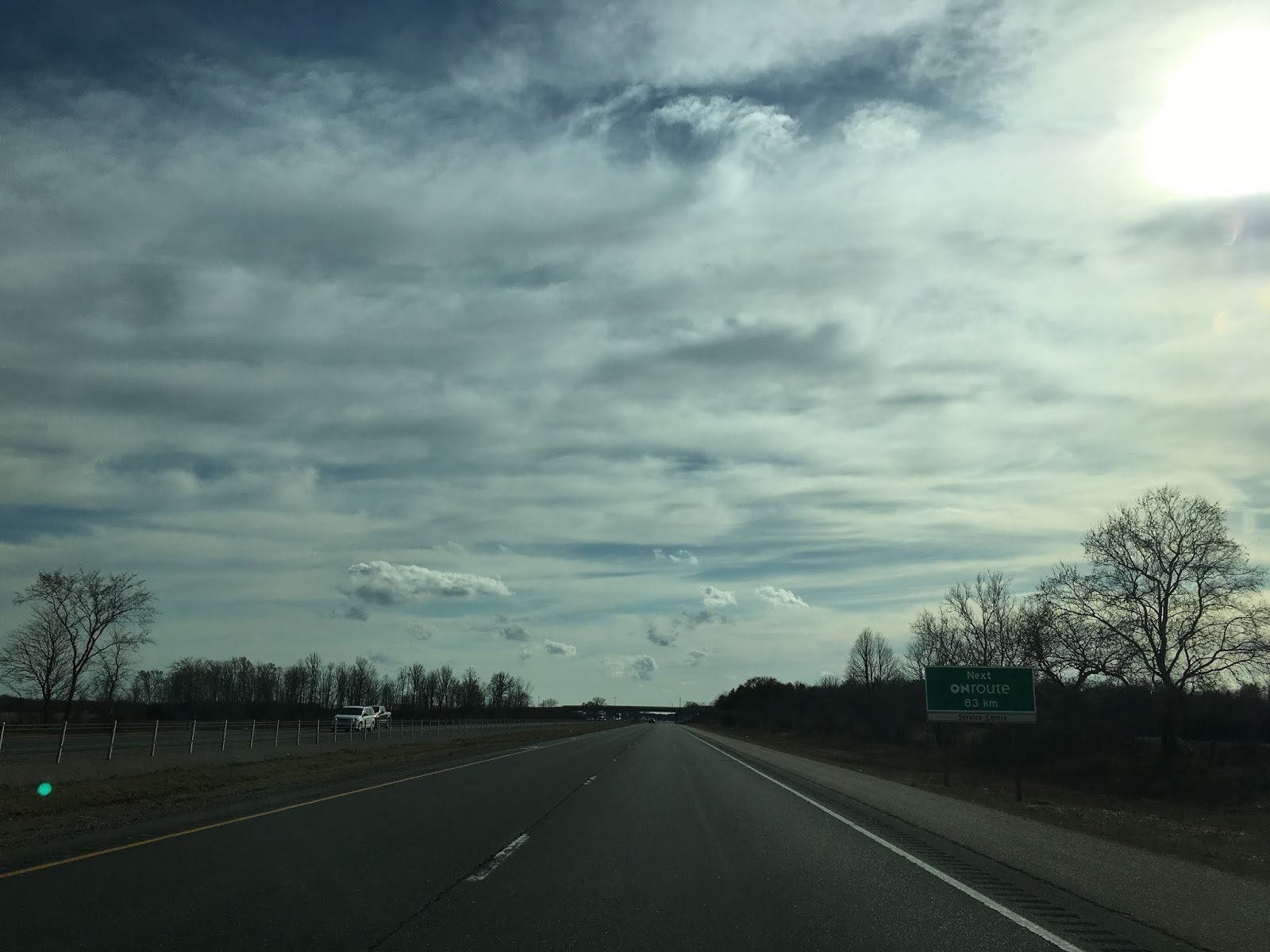
The Elgin County segment of KH 401 west includes another On-Route plaza.


KH 401 west next enters the Municipality of Chatham-Kent.

The Chatham-Kent portion of KH 401 includes yet another On-Route.


KH 401 westbound enters Essex County and meets KH 77 at Exit 48.


KH 401 west enters the City of Windsor and meets KH 3 at Exit 10.


KH 401 west multiplexes KH 3 to Exit 5 on the approach to the Ambassador Bridge on Huron Church Road.


Presently the route of KH 401 is slated to be extended to the new Gordie Howe International Bridge which is presently under construction. The Gordie Howe Bridge will complete a limited access connection over the International Border between Detroit and Windsor when it opens in 2024.
Comments