Last week I had the opportunity to try out several Bay Area roadways. The first route on my list was California State Route 85 from CA 17 west to US Route 101.

CA 85 is an approximately 24 mile freeway starting at US 101 in San Jose which loops back to US 101 in Mountain View. I drove the entire route back in 2016 but my recent trip had me starting CA 85 at about the mid-way point in Los Gatos from CA 17 northbound.


CA 85 west of CA 17 briefly skirts the City limits of San Jose before entering Saratoga.

CA 85 dips back into the westernmost limits of San Jose at De Anza Boulevard. De Anza Boulevard was part of the original surface alignment of CA 9.

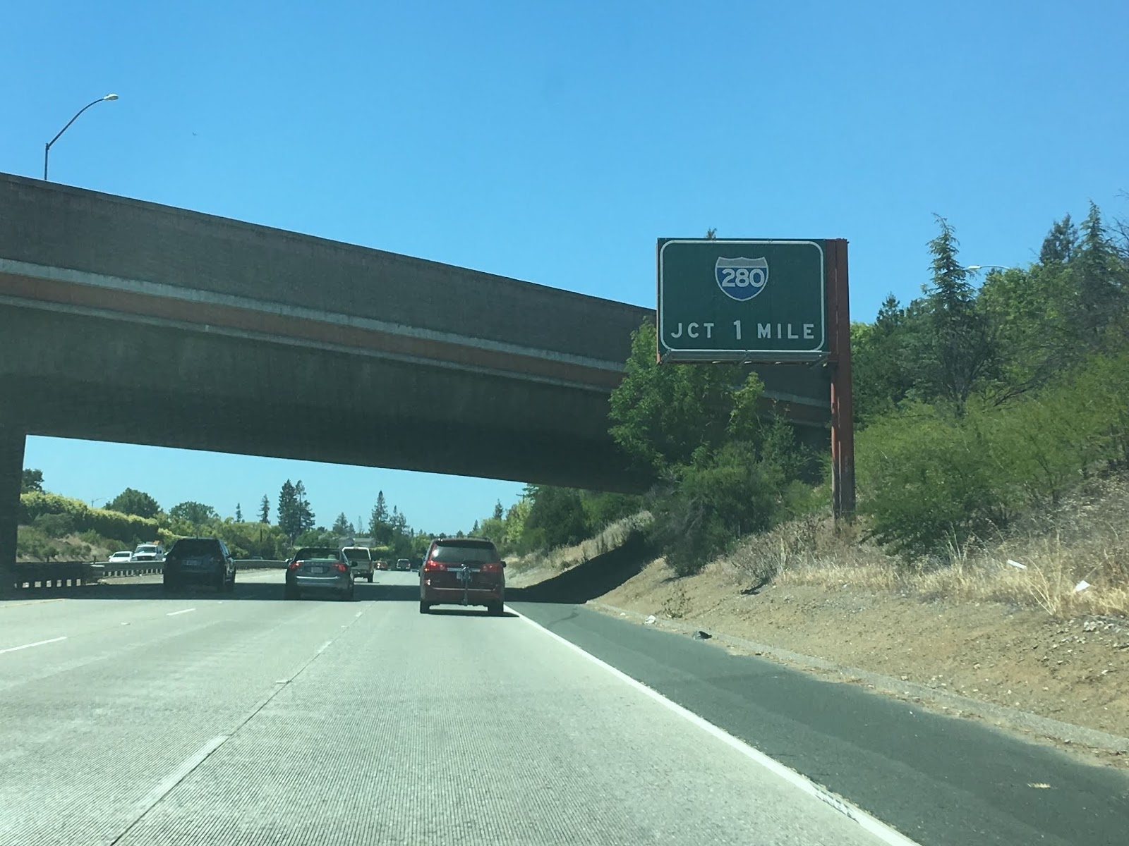
CA 85 in Cupertino is the location with the junction with I-280. The section of CA 85 north of I-280 is the original part of the freeway which means there is plenty of button-copy shields still posted.


CA 85 briefly dips into Sunnyvale before entering Mountain View. CA 85 encounters CA 82 which runs on the El Camino Real which obviously is the old surface alignment of US 101.

Immediately north of CA 82/El Camino Real CA 85 encounters a junction with CA 237 which directs traffic to US 101 southbound towards San Jose.


San Francisco traffic is directed towards the western terminus of CA 85. CA 85 has a junction with Moffett Boulevard which connects to Moffett Field which is the location of the NASA Ames Research Center.


CA 85 is a fairly modern state highway with the first segment from I-280 north to US 101 in Mountain View opening in 1965 according to CAhighways.org. This can be seen by comparing the Bay Area insert of the 1965 State Highway Map to the 1966 Map.
1965 State Highway Map
1966 State Highway Map
According to CAhighways it seems CA 85 was partially intended to the alignment of I-280 Legislation was passed in 1959 which created Legislative Route 239 which eventually became I-280. LRN 239 has proposed alignment west of San Jose to CA 17 in Los Gatos on the 1960 State Highway Map in the Bay Area Insert. It would seem that I-280 may have originally been envisioned to swing north roughly along CA 9 near De Anza Boulevard.
1960 State Highway Map
By 1962 it seems that LRN 239 was realigned completely to the modern I-280 and LRN 114 took over the proposed route between US 101 in San Jose west to CA 9 in Saratoga. LRN 114 incidentally was the surface designation of CA 9 from Saratoga to Sunnyvale. It would seem that CA 85 in spirit is a successor route to CA 9 in the Bay Area much like CA 237.
1962 State Highway Map
By 1963 the full proposed route of what became CA 85 is shown as LRN 114 on the Bay Area insert.
1963 State Highway Map
By 1964 LRN 114 was changed to LRN 85 during the California Highway renumbering. CA 9 on De Anza Boulevard was renumbered to CA 85 but doesn't appear to have been immediately signed. Apparently when the first segment of CA 85 opened in 1965 the route continued south from I-280 on De Anza Boulevard south to CA 9 in Saratoga. The alignment of CA 9 can be shifted eastward from Saratoga to CA 17 in Los Gatos.
1964 State Highway Map
In the 1990s CA 85 was finally completed from San Jose to Mountain View with the last segment apparently opening in 1994. CAhighways.org has a more detailed description of the time frame for the last segments of CA 85 so this seemed like an appropriate place to link the article over:
CAhighways.org on CA 85
The change from the incomplete CA 85 to the final product now in use today can be seen by comparing the city insert of the 1990 State Highway Map to the 2005 State Highway Map.
1990 State Highway Map
2005 State Highway Map

CA 85 is an approximately 24 mile freeway starting at US 101 in San Jose which loops back to US 101 in Mountain View. I drove the entire route back in 2016 but my recent trip had me starting CA 85 at about the mid-way point in Los Gatos from CA 17 northbound.


CA 85 west of CA 17 briefly skirts the City limits of San Jose before entering Saratoga.

CA 85 dips back into the westernmost limits of San Jose at De Anza Boulevard. De Anza Boulevard was part of the original surface alignment of CA 9.

CA 85 in Cupertino is the location with the junction with I-280. The section of CA 85 north of I-280 is the original part of the freeway which means there is plenty of button-copy shields still posted.


CA 85 briefly dips into Sunnyvale before entering Mountain View. CA 85 encounters CA 82 which runs on the El Camino Real which obviously is the old surface alignment of US 101.

Immediately north of CA 82/El Camino Real CA 85 encounters a junction with CA 237 which directs traffic to US 101 southbound towards San Jose.


San Francisco traffic is directed towards the western terminus of CA 85. CA 85 has a junction with Moffett Boulevard which connects to Moffett Field which is the location of the NASA Ames Research Center.


CA 85 is a fairly modern state highway with the first segment from I-280 north to US 101 in Mountain View opening in 1965 according to CAhighways.org. This can be seen by comparing the Bay Area insert of the 1965 State Highway Map to the 1966 Map.
1965 State Highway Map
1966 State Highway Map
According to CAhighways it seems CA 85 was partially intended to the alignment of I-280 Legislation was passed in 1959 which created Legislative Route 239 which eventually became I-280. LRN 239 has proposed alignment west of San Jose to CA 17 in Los Gatos on the 1960 State Highway Map in the Bay Area Insert. It would seem that I-280 may have originally been envisioned to swing north roughly along CA 9 near De Anza Boulevard.
1960 State Highway Map
By 1962 it seems that LRN 239 was realigned completely to the modern I-280 and LRN 114 took over the proposed route between US 101 in San Jose west to CA 9 in Saratoga. LRN 114 incidentally was the surface designation of CA 9 from Saratoga to Sunnyvale. It would seem that CA 85 in spirit is a successor route to CA 9 in the Bay Area much like CA 237.
1962 State Highway Map
By 1963 the full proposed route of what became CA 85 is shown as LRN 114 on the Bay Area insert.
1963 State Highway Map
By 1964 LRN 114 was changed to LRN 85 during the California Highway renumbering. CA 9 on De Anza Boulevard was renumbered to CA 85 but doesn't appear to have been immediately signed. Apparently when the first segment of CA 85 opened in 1965 the route continued south from I-280 on De Anza Boulevard south to CA 9 in Saratoga. The alignment of CA 9 can be shifted eastward from Saratoga to CA 17 in Los Gatos.
1964 State Highway Map
In the 1990s CA 85 was finally completed from San Jose to Mountain View with the last segment apparently opening in 1994. CAhighways.org has a more detailed description of the time frame for the last segments of CA 85 so this seemed like an appropriate place to link the article over:
CAhighways.org on CA 85
The change from the incomplete CA 85 to the final product now in use today can be seen by comparing the city insert of the 1990 State Highway Map to the 2005 State Highway Map.
1990 State Highway Map
2005 State Highway Map
Comments