Vasco Road is a 17.7-mile roadway spanning the northern Diablo Range beginning at California State Route 4 in Brentwood of Contra Costa County south to Tesla Road/Alameda County Route J2 in Livermore. The corridor of Vasco Road was added as a planned extension of Legislative Route Number 108 during 1959 which became planned California State Route 84 during the 1964 State Highway Renumbering. Despite never being constructed to State Highway standards much of Vasco Road is an expressway design. 12.8-miles of Vasco Road was realigned during 1996 to make way for the Los Vaqueros Reservoir. Vasco Road was extended north to where it now terminates at California State Route 4 during 2009. Several curves and steeps grades along Vasco Road north of Livermore were eliminated during 2010.
Part 1; the history of Vasco Road
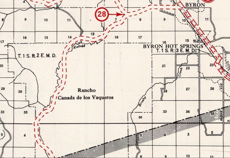
Vasco Road lies upon the lands which were once Rancho Cañada de los Vaqueros. Following the conclusion of the Mexican-American War the previous Mexican land grants were honored by the American government. Rancho Cañada de los Vaqueros largely went undeveloped through much of the 19th century and eventually ended up solely in the hands of Mary Crocker by 1897.
Vasco Road appears on the 1935 Division of Highways Maps of
Contra Costa County and
Alameda County as a major local highway. The Division of Highways traffic surveys indicate Vasco Road carried 0-500 vehicles a day between Byron Highway in Byron and US Route 50 near Livermore.
During 1957 and 1958 the city of Livermore extended Vasco Road south from US Route 50 to Tesla Road. The opening of the extension of Vasco Road was dedicated on August 1, 1958 (
Wikipedia Reference #2).
The corridor of Vasco Road was added to the State Highway System as part of an extension of
Legislative Route Number 108 by way of 1959 Legislative Chapter 1062. Specifically, Legislative Route Number 1062 was extended from Livermore to a new terminus in Brentwood. The corridor of Legislative Route Number 108 between Livermore and Brentwood was added to the Freeway & Expressway System upon being defined.
The planned extension of Legislative Route Number 108 from Livermore to Brentwood first appears on the
1960 Division of Highways Map with no determined routing.
The
March/April 1960 California Highways & Public Works references Legislative Route Number 108 being extended from Livermore to Brentwood. The article notes that a freeway for Legislative Route Number 108 between Sunol-Livermore was discussed at a Division of Highways public hearing on September 25, 1959. A decision on adopting a freeway alignment on the Sunol-Livermore corridor of Legislative Route Number 108 was deferred until studies north of US Route 50 could be conducted.
The
May/June 1961 California Highways & Public Works announced a freeway alignment adoption on Legislative Route Number 108 between Sunol-Livermore. The planned freeway corridor of Legislative Route Number 108 did not extend north of US Route 50 towards existing Vasco Road nor is a study cited.
As part of the 1964 State Highway Renumbering all the Legislative Route Numbers were deleted in favor of Sign State Route designations. The entirety of Legislative Route Number 108 was reassigned as a segment of California State Route 84. Planned California State Route 84 over the corridor of Vasco Road appears with an undetermined routing on the
1964 Division of Highways Map.
"The Mid-State Tollway project involves a conceptual proposal for an 85-mile tollway connecting the Fremont area with the I-80 corridor near Vacaville, and the I-5 corridor, via I-580, with the I-80 corridor near Vacaville. These connections are proposed to occur approximately midway between I-680 and I-5. The Mid-State Tollway construction is projected to begin in 1994 and be completed in the late 1990s."
The same Environmental Impact Report noted the following regarding Vasco Road:
The Mid-State Tollway was to be constructed a developer known as the California Toll Road Company. Caltrans amended a franchise agreement with the California Toll Road Company during 1993 but the Mid-State Tollway corridor faced heavy opposition. The Mid-State Tollway corridor was suspended on January 1, 2001, and the franchise agreement was dropped. The map below depicts the Mid-State Tollway corridor as it was planned:
During 1996 a 12.8-mile segment of Vasco Road was relocated (
Wikipedia reference #3) and expanded to expressway standards. The driving force for the relocation of 12.8-miles of Vasco Road was construction of Los Vaqueros Reservoir which would flood much of the original highway. The original alignment of Vasco Road was partially repurposed into what is now Los Vaqueros Road and Walnut Boulevard.
During August 2006 Vasco Road was declared a special double-fine zone due to high accident rates which would remain effective until January 2010. Vasco Road was surveyed seeing approximately 25,000 vehicles a day according to a 2008 traffic study (
Wikipedia reference #1). During 2009 Vasco Road was extended north from Walnut Boulevard to California State Route 4/Marsh Creek Road (
Wikipedia reference #5). During 2010 Vasco Road north of Livermore to the Contra Costa County line was realigned with the older alignment becoming Old Vasco Road. During May 2010, Contra Costa County began to install the median barrier now present on much of Vasco Road (
Wikipedia reference #8).
Part 2; a drive on Vasco Road
From eastbound California State Route 4 traffic is notified Livermore is 18 miles ahead along southbound Vasco Road.
Despite the double-fine designation of Vasco Road expiring during 2010 the signage still remains.
Vasco Road south of California State Route 4 intersects Walnut Boulevard.
Vasco Road south of Walnut Boulevard intersects Camino Diablo.
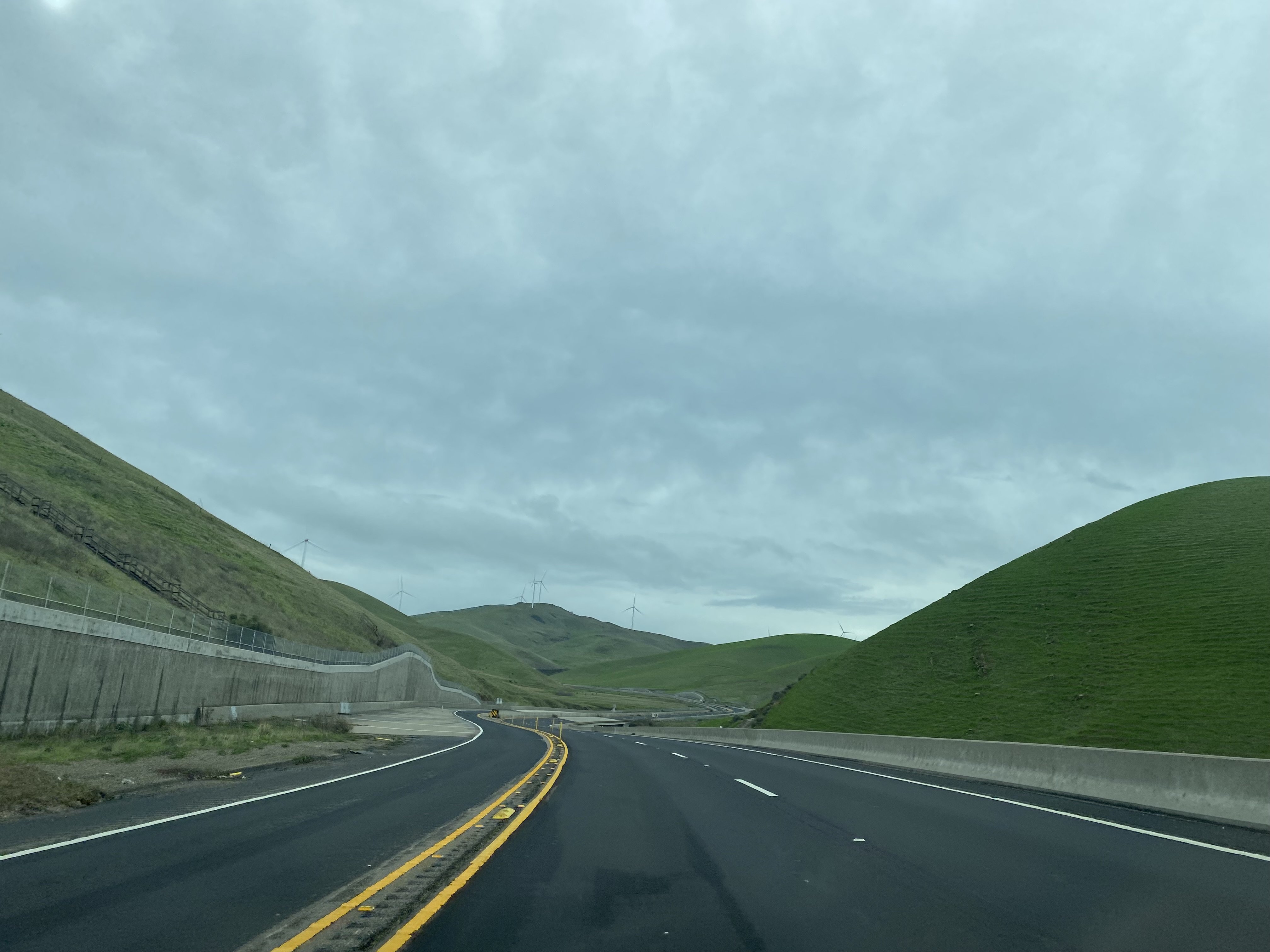
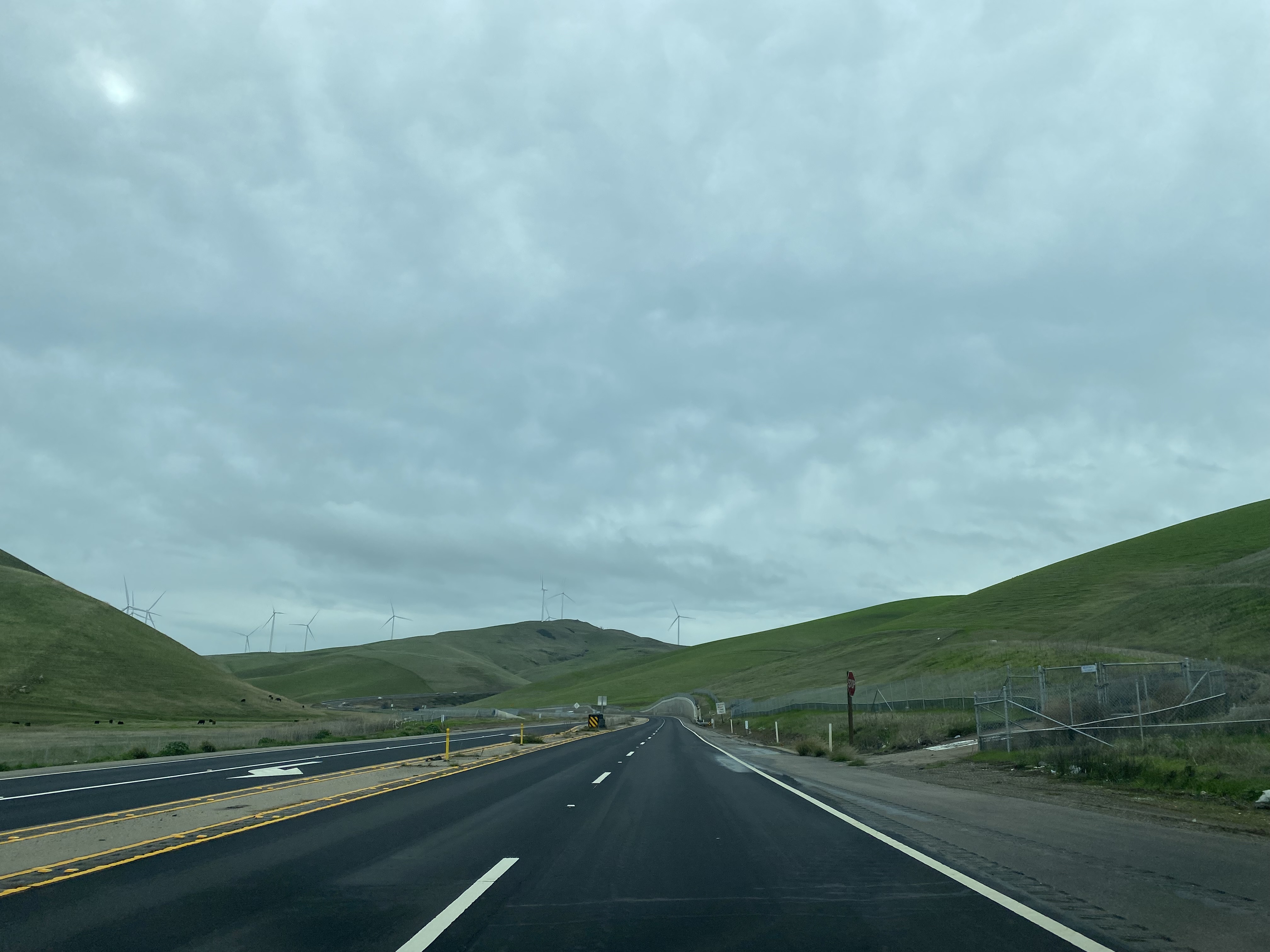
Vasco Road south of Canyon Diablo climbs into the Diablo Range. Vasco Road crosses several creeks and is striped as a no-passing zone aside from climbing lanes.
Vasco Road southbound continues to climb and largely lined with a concrete median barrier. Vasco Road upon cresting the Diablo Range enters Alameda County and intersects it's original alignment at Los Vaqueros Road.
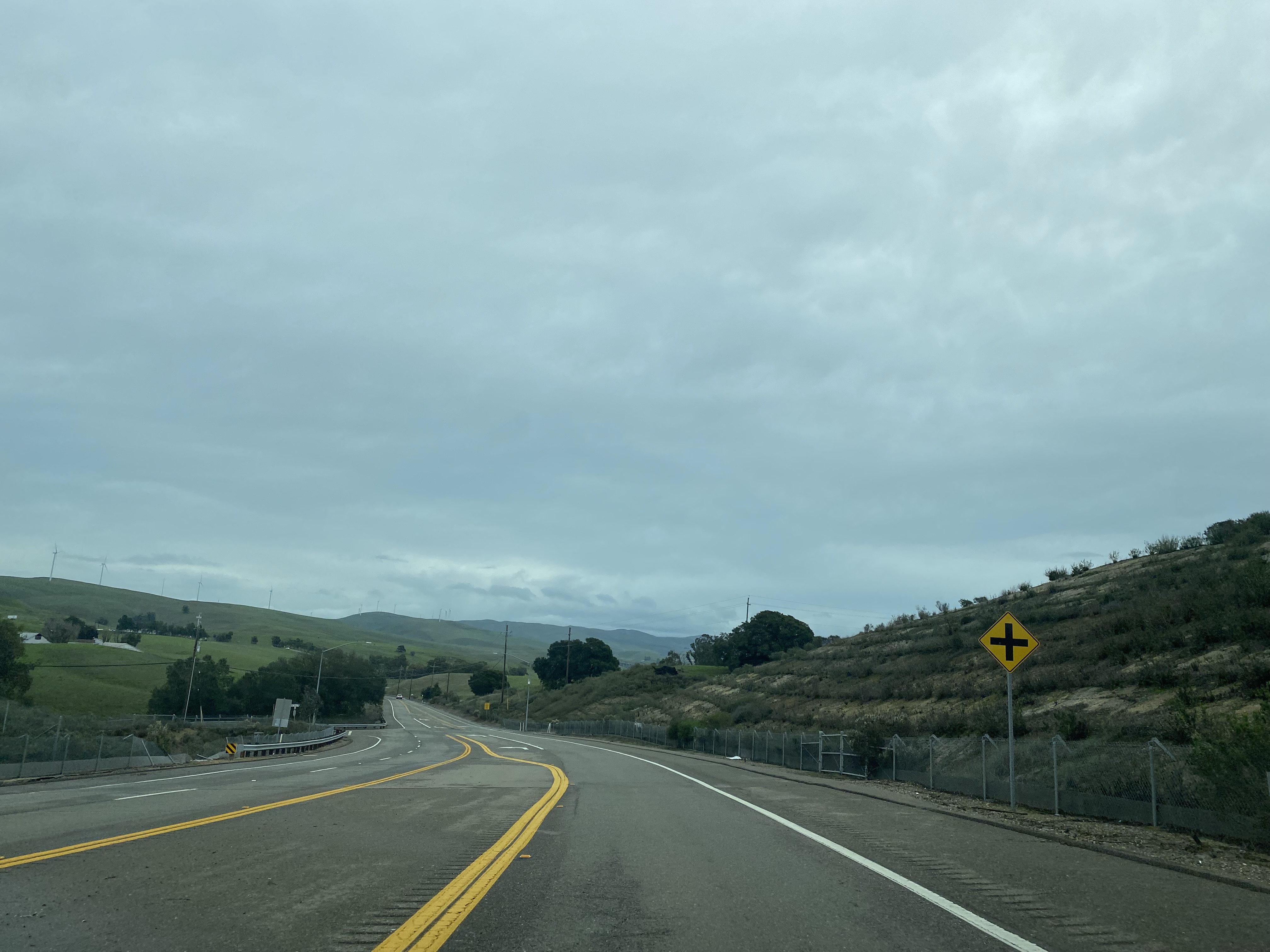
Vasco Road begins to descend towards Livermore and intersects Old Vasco Road.
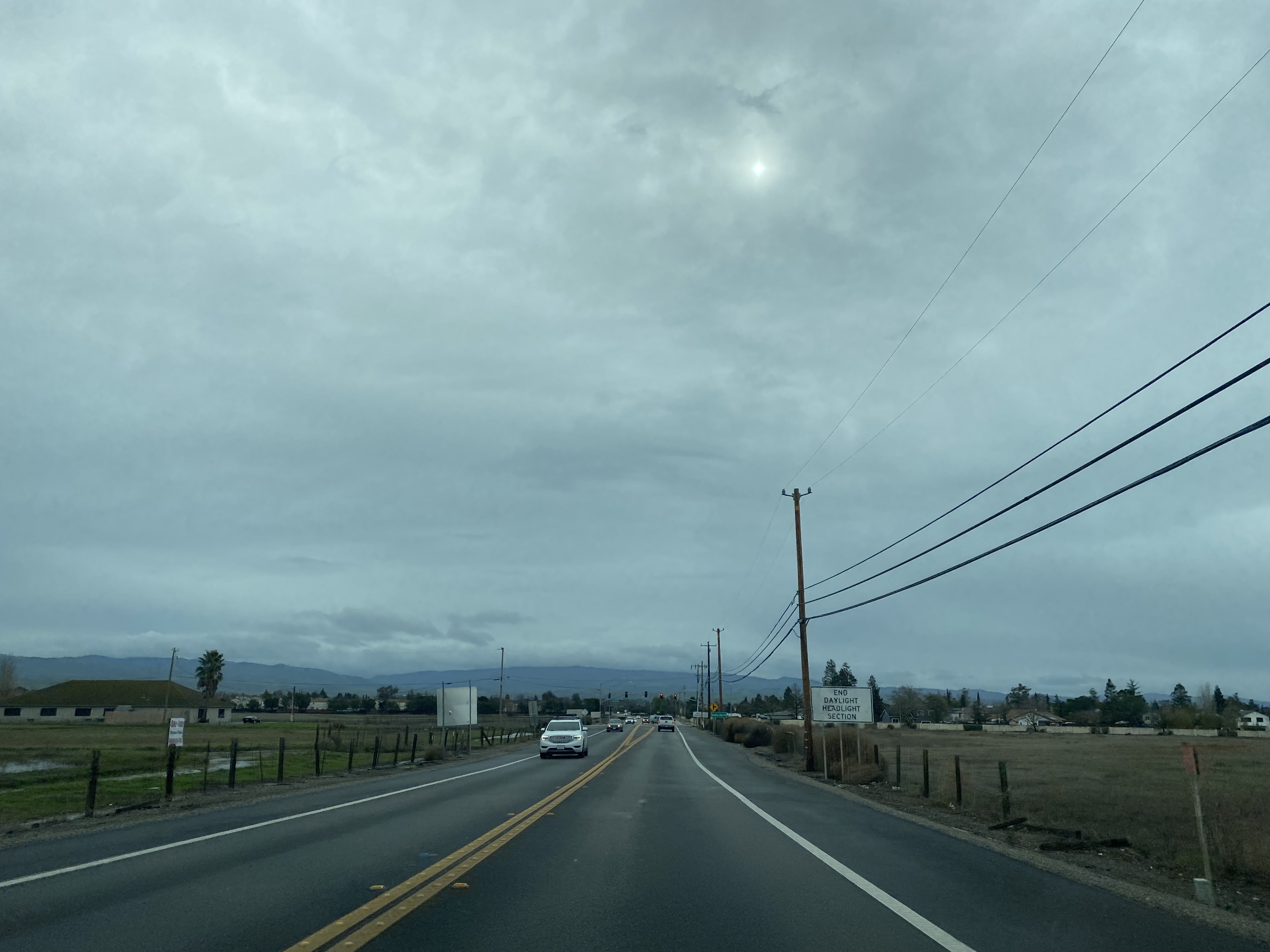
Vasco Road southbound enters the city of Livermore and expands to a city street.
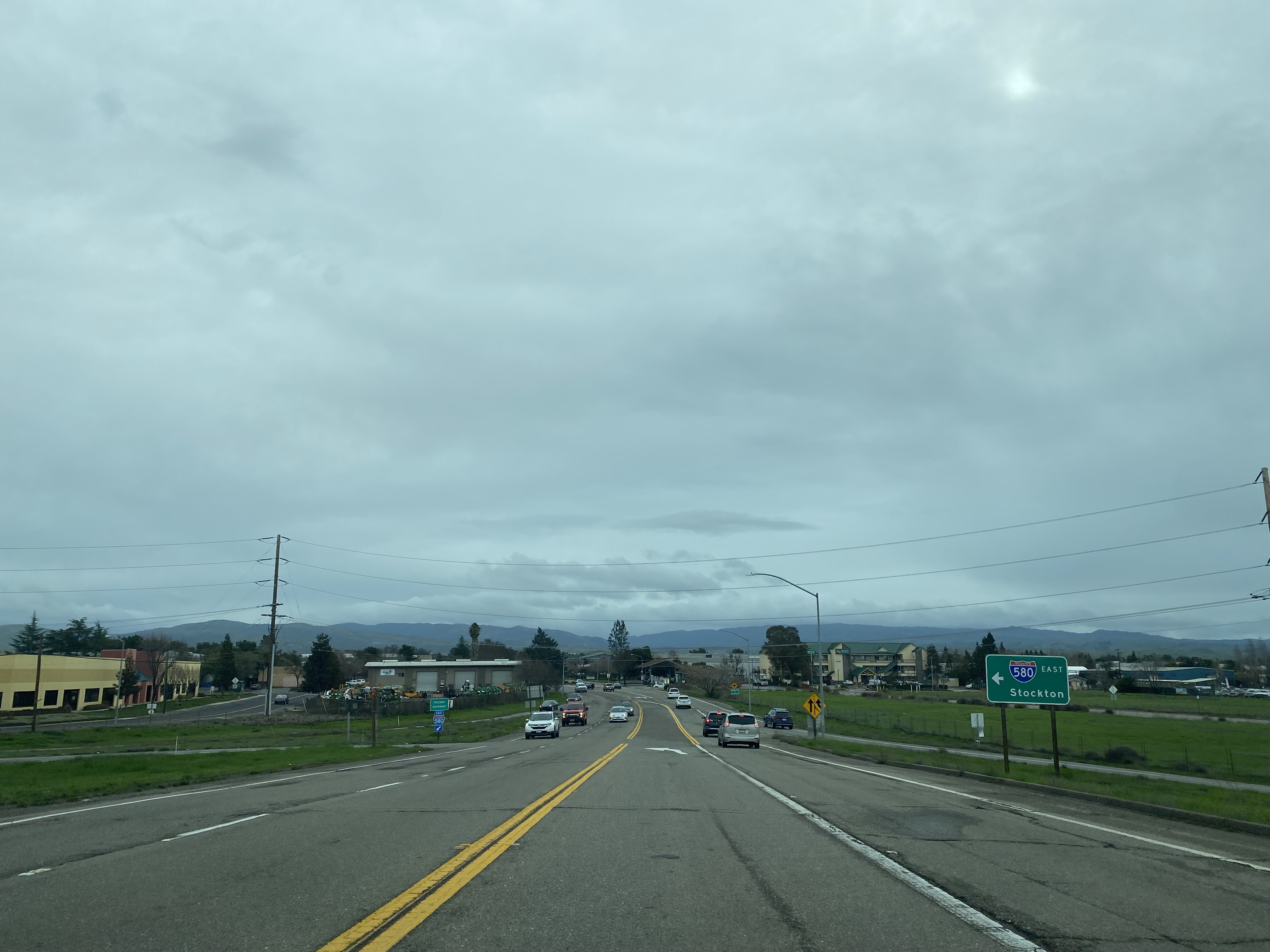
Vasco Road southbound passes through Livermore and intersects Interstate 580.


Comments