
Arizona State Route 74 is a 30.40-mile State Highway located in northern Maricopa County. Arizona State Route 74 begins at US Route 60 near Morristown and terminates in the city of Phoenix at Interstate 17. Arizona State Route 74 is aligned over Morristown-New River Highway, Lake Pleasant Parkway and Carefree Highway. The current Arizona State Route 74 is the second iteration of the highway and was defined in 1962. Arizona State Route 74 by 1974 had a temporary terminus at Lake Pleasant Road and Carefree Highway. A temporary alignment of Arizona State Route 74 initially carried the highway to Interstate 17 via Carefree Highway until being made permanent during 1989. Future planning documents has Arizona State Route 74 being realigned onto the Lake Pleasant Freeway and New River Freeway.

Part 1; the history of Arizona State Route 74
The original Arizona State Route 74 was designed during 1927 as part of the original run of Arizona State Highways. Arizona State Route 74 was known as the "Sunkist Highway" and originated at US Route 89 in Wickenburg. Arizona State Route 74 had a western terminus located at the Colorado River Bridge and California state line near Ehrenburg.
The original Arizona State Route 74 can be seen on the 1931 Clason's Road Map of Arizona.

US Route 60 would rapidly be extended after the US Route System was created and would come into play in Arizona and California during the early 1930s. A letter from the American Association of State Highways Officials (AASHO) Executive Secretary to the California State Highway Engineer dated Marth 30, 1931 noted that US Route 60 had been tentatively approved to be extended to California during the AASHO Executive Committee on May 26, 1930. The approval of US Route 60 being extended to California carried the stipulation that the Colorado River Bridge in Blythe be purchased by the California Division of Highways and Arizona State Road Department. The letter noted California and Arizona had taken steps through their respective legislatures to purchase the Colorado River Bridge.


A letter from the California State Highway Engineer to the AASHO Executive Secretary on April 13, 1931, noted legislation to purchase the Colorado River Bridge had been passed in California. The purchase of the Colorado River Bridge effectively made the extension of US Route 60 into California via Arizona active. US Route 60 had been extended from Amarillo, Texas and absorbed the entirety of the Sunkist Highway west of Wickenburg.

US Route 60 and Arizona State Route 74 seemingly for a time were co-signed on the Sunkist Highway. Both highways appear signed on the Sunkist Highway on the 1933 Midwest Map of Arizona. US Route 70 would be extended into California during 1934 and multiplexed US Route 60 on the Sunkist Highway. Following US Route 70 being extended into California the original Arizona State Route 74 appears to have been deleted.

The current Arizona State Route 74 was defined during 1962. Arizona State Route 74 was planned with an alignment originating at US Route 60-70-89 in Morristown east to Interstate 17 in New River.

Arizona State Route 74 was originally intended to branch northeast from Lake Pleasant to New River. Arizona State Route 74 was completed from US Route 60-89 east of Morristown to Lake Pleasant by 1974. Arizona State Route 74 had an interim terminus located at the intersection of Lake Pleasant Road and Carefree Highway. Carefree Highway east to Interstate 17 was designated as Temporary Arizona State Route 74 to provide routing continuity.

The temporary terminus of Arizona State Route 74 at Lake Pleasant Road and Carefree Highway appears on the 1988 United States Geological Survey Map of North Phoenix.

The alignment of Arizona State Route 74 east of Lake Pleasant along Carefree Highway to Interstate 17 was made permanent during 1989.

Arizona State Route 74 is tentatively planned to be gradually upgraded to freeway standards (the Lake Pleasant Freeway and New River Freeway) and extended to Interstate 11. Improvements to Arizona State Route 74 are not anticipated to begin until after 2025. The planned freeway corridor of Arizona State Route 74 appears on a 2009 Maricopa Association of Governments Map. The freeway corridor of Arizona State Route 74 has it extending to New River as originally planned in 1962.

Part 2; a drive on Arizona State Route 74
Eastbound Arizona State Route 74 begins at US Route 60 near Morristown.


Eastbound Arizona State Route 74 begins on Morristown-New River Highway. Arizona State Route 74 is co-signed initially with "TO Interstate 17" shields. Arizona State Route 74 is signed as 22 miles from Lake Pleasant and 30 miles from Interstate 17.


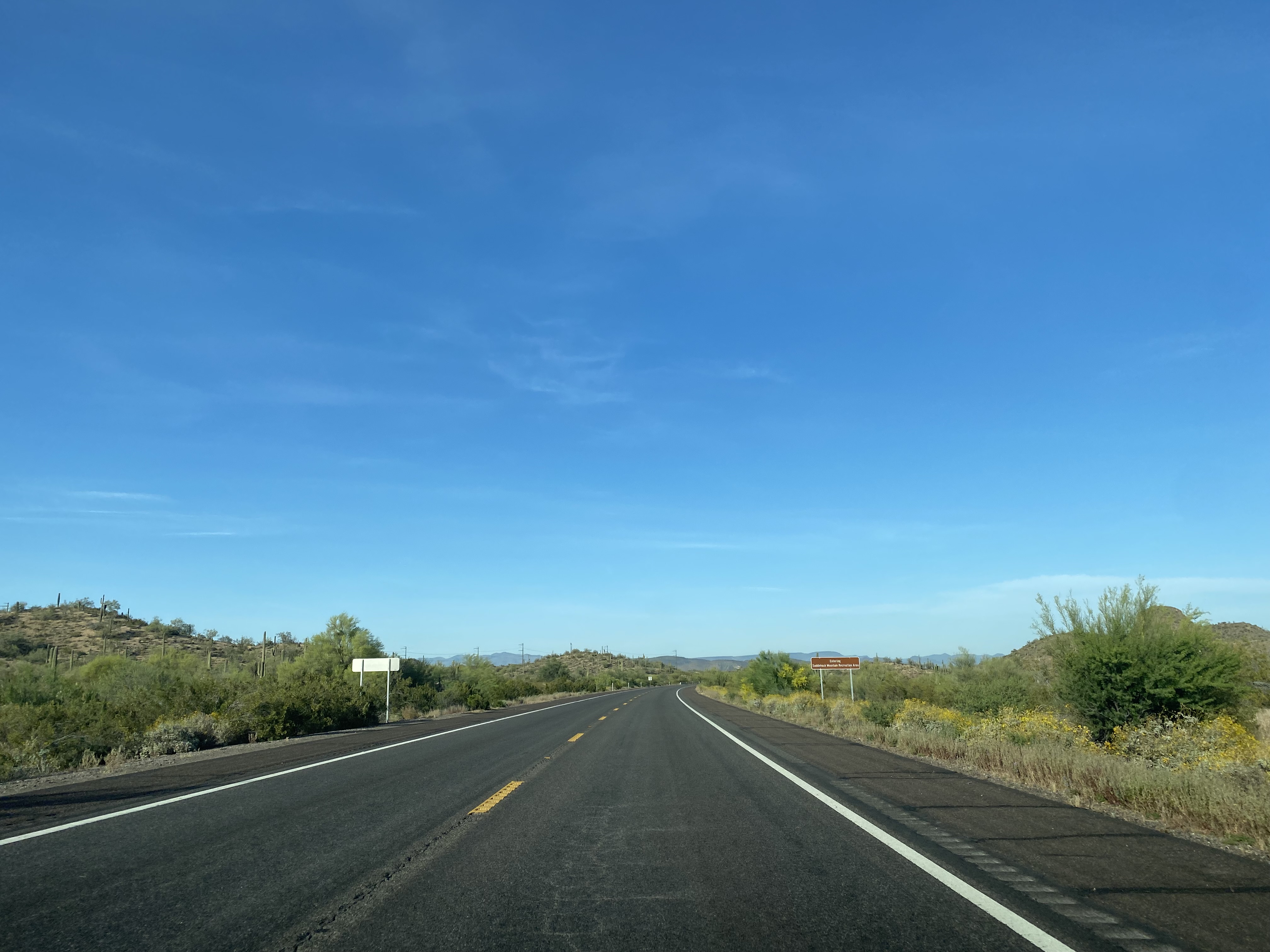
Arizona State Route 74 eastbound skirts the edge of Morristown and intersects Castle Hot Springs Road.

Arizona State Route 74 eastbound follows Morristown-New River Highway into the northern limits of the city of Peoria. Arizona State Route 74 eastbound crosses the Agua Fria River and transitions onto the Lake Pleasant Parkway.


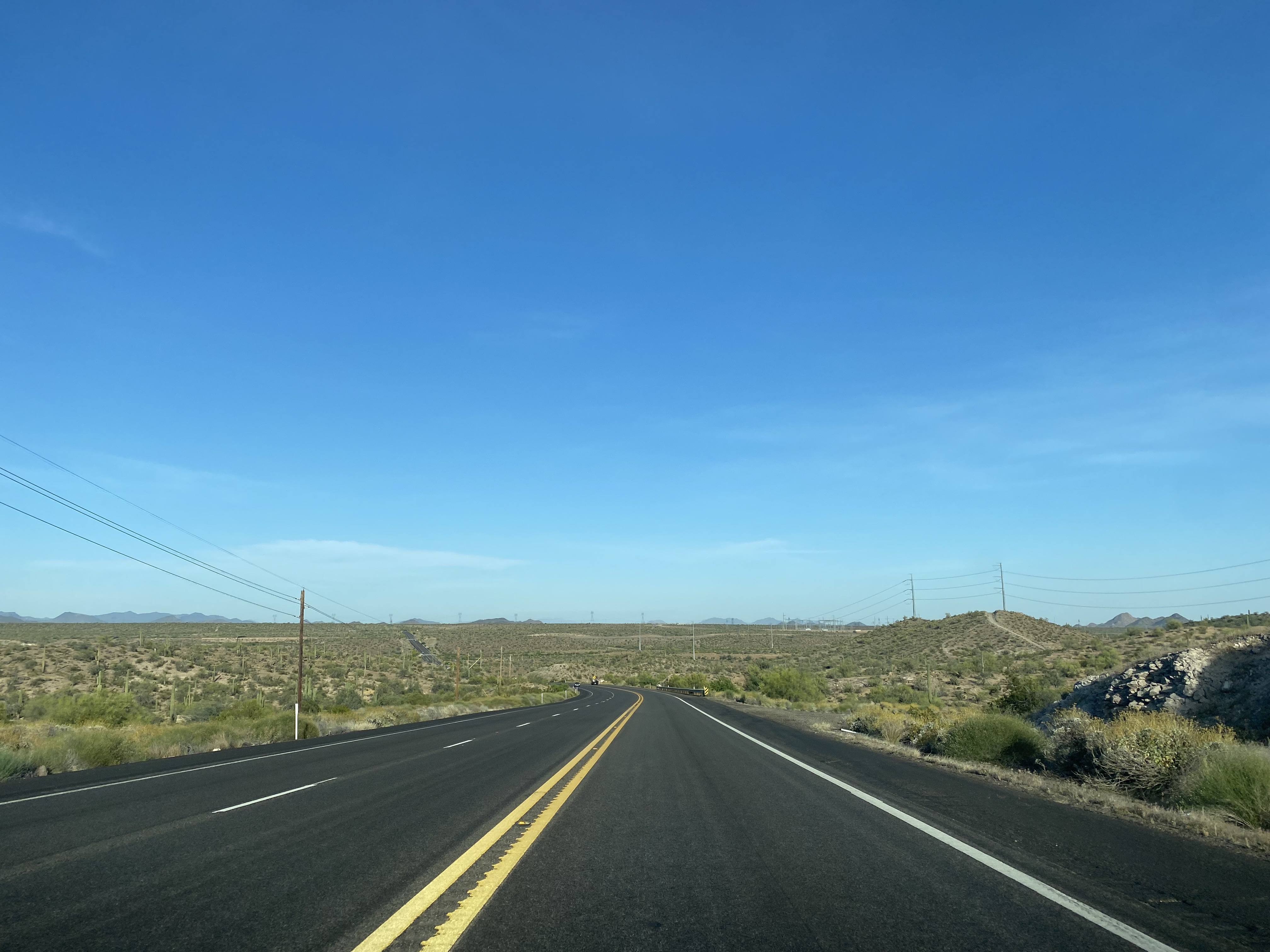


Arizona State Route 74 east of the Agua Fria River is signed as 10 miles from Interstate 17.

Arizona State Route 74 eastbound approaches a junction with southbound Lake Pleasant Parkway and transitions onto Carefree Highway. The intersection of Arizona State Route 74 and 87th Avenue sometimes appears on maps as "Unfinished Arizona State Route 74."


Arizona State Route 74 eastbound enters the city of Phoenix and follows Carefree Highway to a terminus at Interstate 17. Carefree Highway extends east of Interstate 17 to Scottsdale Road to the community of Carefree.


Comments