
North Carolina's push to expand its intercity passenger rail system continues to move forward with the completion of a recent feasibility study on a westward expansion from Salisbury to Asheville.
The study paints a more specific picture of how the new service will run. The study proposes three daily round trips from Salisbury to Asheville. The study projects 100,000 annual riders. The 3 hours and 25 minutes ride from Salisbury would include stops at Statesville, Hickory, Morganton, and Marion. The estimated cost to get the route up and running is $665 million. (1)
The targeted date for train service to begin to Asheville is 2035.
The study is the first step in North Carolina's aggressive plan to expand its Amtrak service west and east.
With the study completed, there are still several questions about the service. The first question is: will any of the three round trips include a direct Raleigh-to-Asheville run? Or will all passengers need to change trains in Salisbury?
 |
| Salisbury Junction and Salisbury Station (Federal Railroad Administration). |
Another question is what upgrades would be made to Salisbury Junction. The junction, which sits just north of the current Salisbury passenger station, is where trains to and from Asheville connect to the main line between Charlotte and Raleigh. A 2004 study of the Richmond-to-Charlotte rail corridor stated that a series of improvements at Salisbury Junction are needed to allow higher-speed trains to run north-south through the junction. It's safe to assume that further upgrades at Salisbury Junction would be needed for trains running east-west to and from Asheville.
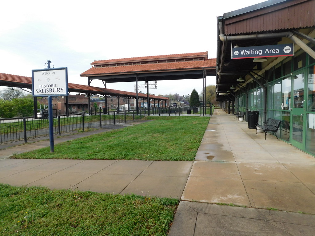 |
| The passenger area at Salisbury's Amtrak Station (Adam Moss). |
Salisbury's historic passenger station is poised to handle the extra traffic. The station, built in 1908, has considerable room for expansion for additional tracks and platforms. Currently, an expansion to add a second platform at the Salisbury station is underway with completion planned for 2024. The same 2004 study mentioned that the station has room for additional track space for passenger service to Asheville.
Other News:
North Carolina is also looking at possibly expanding rail into Northeastern North Carolina from Raleigh to Greenville. A feasibility study for this corridor began in 2022. Currently, Greenville area residents can access the Wilson Amtrak station via the Amtrak Thruway shuttle bus service.
Amtrak recently completed a full overhaul to the Gastonia station. The station, which only sees under 750 boardings a year (FY 2021), saw numerous upgrades for safety and accessibility. The Gastonia station is served daily by the Crescent Line.
Sources & Links:
- (1) Lewis, Jamie. "Saluda Train Tales to feature guest speaker Ray Rapp." Tryon Daily Bulletin. May 8, 2023.
- Technical Monograph: Transportation Planning for the Richmond–Charlotte Railroad Corridor. Federal Railroad Administration. (2004). https://railroads.fra.dot.gov/
- Adam Moss
Comments