
Conventional wisdom would say not much at all. However, that's far from the case. While home in Western Pennsylvania for Christmas, my girlfriend and I spent a fun afternoon within the City of Pittsburgh.
Our first stop was Phipps Conservatory - located in Schenley Park near the University of Pittsburgh.
Phipps is a great place to escape the cold bleak winter afternoons. It takes about 90 minutes to walk the entire grounds, and the beauty of the landscape is amazing.
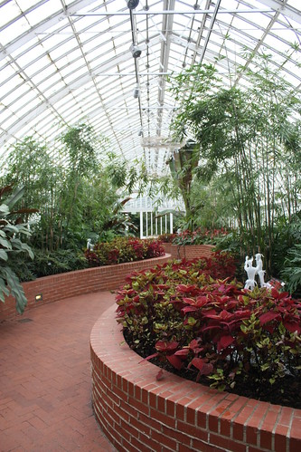
The Conservatory opened in 1893 and has been the host to many spectacular events. Most recently, Phipps was the host of the official welcome dinner of the Global 20 Summit.
Admission for adults is $12 - seniors $11 and children between ages 2-18, $9. Phipps is a great place to practice photography. Personal photography is allowed, though use of tripods is not allowed. Commercial photography is granted with permission and may incur a small fee.
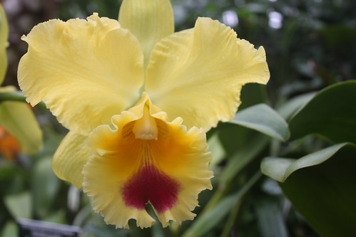
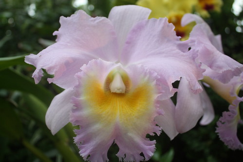
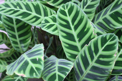
As you can see, I need to visit a few more times to improve on these type of photos.
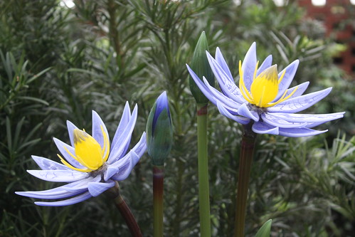
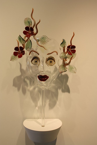
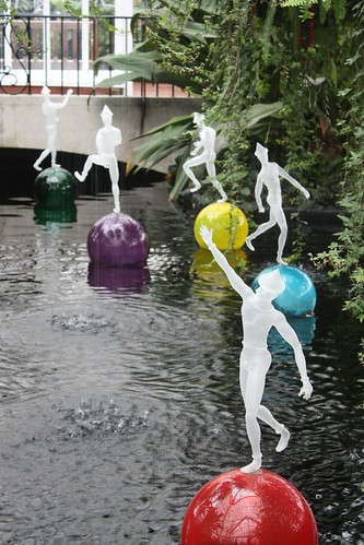
Throughout the gardens were amazing displays of glass artwork by Hans Godo Fräbel. His work is absolutely amazing, and the glass floral displays are amazingly lifelike!
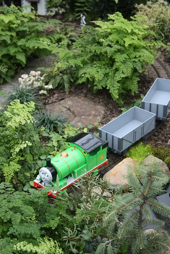
Finally, Phipps also has an exhibit featuring home garden train village displays. The trains feature characters from Thomas the Tank Engine.


For the entire set of photos from Phipps, head over to flickr.
Even in the cold you can have some outdoor fun in Pittsburgh, so why not head downtown to PPG Place and ice skate! It's been years since I had ice skated, let alone outdoors (never), so being able to do this was a thrill! The Rink at PPG Place first opened in 2001 and has become a Pittsburgh winter attraction ever since.
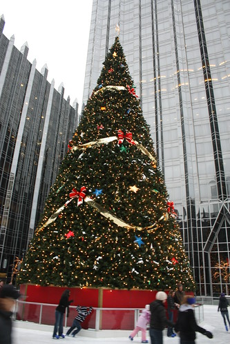
The rink is open from late November through February. It is $7 for adults, $6 for children and seniors. Skate rentals are $3. So at most at $10 per person - it's not a bad way to take a break out of the day, as a special treat on a date, or just a fun time for you and your family.
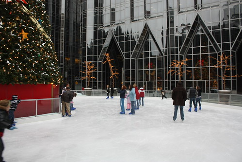
Adults leaving their offices early or school children in the city for a Christmas show can fill up the rink fast and can make an empty rink pretty jam packed! But the fun and smiles on the faces on everyone outside reminds you how great a cold winter day can be!
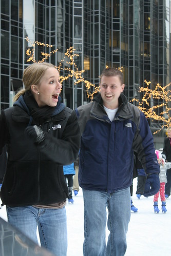
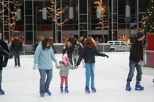
For the entire set on flickr, head here. Or the next time you happen to be in Pittsburgh in winter...go take a spin yourself!
Our first stop was Phipps Conservatory - located in Schenley Park near the University of Pittsburgh.
Phipps is a great place to escape the cold bleak winter afternoons. It takes about 90 minutes to walk the entire grounds, and the beauty of the landscape is amazing.
The Conservatory opened in 1893 and has been the host to many spectacular events. Most recently, Phipps was the host of the official welcome dinner of the Global 20 Summit.
Admission for adults is $12 - seniors $11 and children between ages 2-18, $9. Phipps is a great place to practice photography. Personal photography is allowed, though use of tripods is not allowed. Commercial photography is granted with permission and may incur a small fee.
As you can see, I need to visit a few more times to improve on these type of photos.
Throughout the gardens were amazing displays of glass artwork by Hans Godo Fräbel. His work is absolutely amazing, and the glass floral displays are amazingly lifelike!
Finally, Phipps also has an exhibit featuring home garden train village displays. The trains feature characters from Thomas the Tank Engine.
For the entire set of photos from Phipps, head over to flickr.
Even in the cold you can have some outdoor fun in Pittsburgh, so why not head downtown to PPG Place and ice skate! It's been years since I had ice skated, let alone outdoors (never), so being able to do this was a thrill! The Rink at PPG Place first opened in 2001 and has become a Pittsburgh winter attraction ever since.
The rink is open from late November through February. It is $7 for adults, $6 for children and seniors. Skate rentals are $3. So at most at $10 per person - it's not a bad way to take a break out of the day, as a special treat on a date, or just a fun time for you and your family.
Adults leaving their offices early or school children in the city for a Christmas show can fill up the rink fast and can make an empty rink pretty jam packed! But the fun and smiles on the faces on everyone outside reminds you how great a cold winter day can be!
For the entire set on flickr, head here. Or the next time you happen to be in Pittsburgh in winter...go take a spin yourself!
Comments