

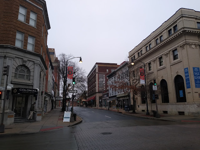
Recently, I had the impromptu opportunity to take a walk around Frederick, Maryland. Granted, it may not have been for the reasons that I would have liked, as my brakes on my car decided to go on me during the middle of a trip. But when life gives you lemons, you make lemonade, so I decided to take a walk around Frederick during the morning while I was waiting for my car to be fixed. I was able to visit the historic downtown area of Frederick along with a number of parks along the Carroll Creek. So here is my brief tour of Frederick.
 |
| Saw this tiny truck during my walk. It looked like the pickup truck version of a Smart Car. |
 |
| MD 355 shield on North Market Street. |
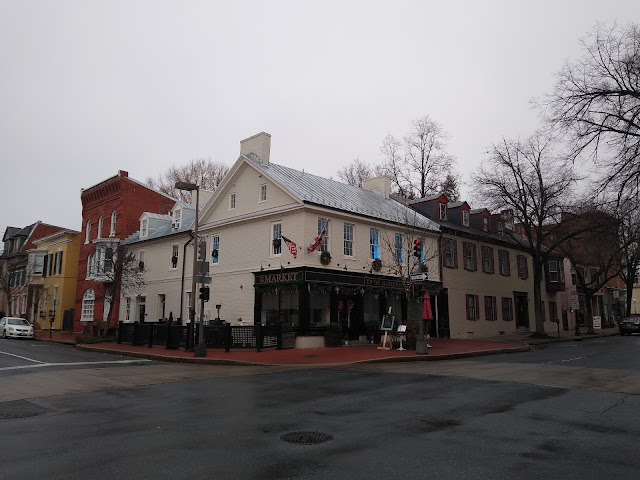 |
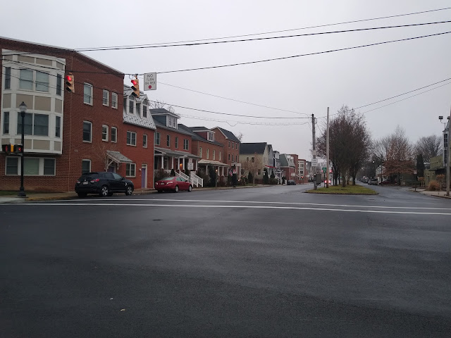
| Up on Market. |
 |
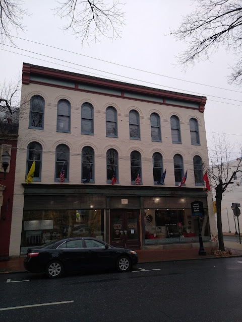
| I liked the façade of this building. |
 |
| Trinity Chapel. |
 |
| Evangelical Lutheran Church. |
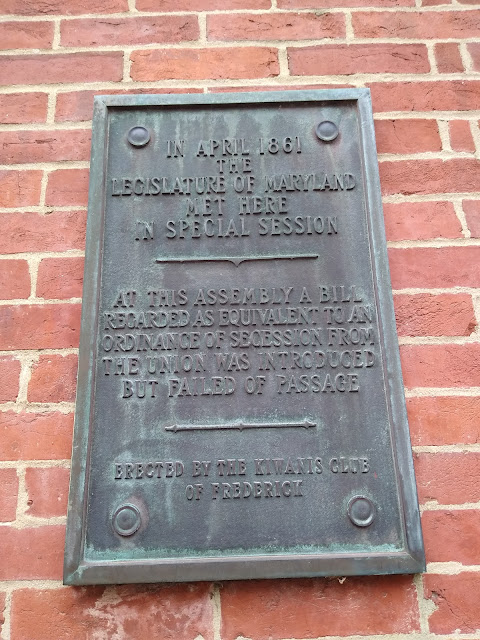 |
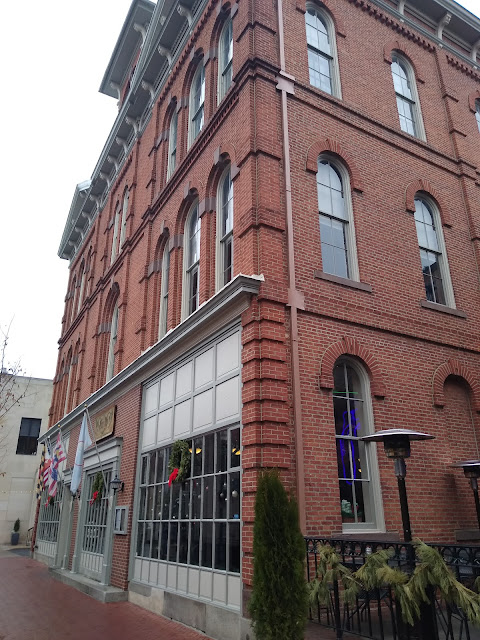
| A little Civil War era history for you. A special session of the Maryland State Legislature met in Frederick in April 1861 to discuss the possibility of seceding from the Union. |
 |
| Kemp Hall placard. |

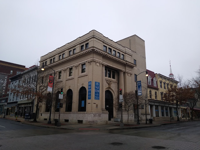 |
| I'm pretty sure this used to be a bank. |
 |
| Looking down West Patrick Street. |
 |
| Display in the front of the National Museum of Civil War Medicine. I arrived too early in the day to go into the museum, but I am willing to bet that it is very interesting. |
 |
| National Museum of Civil War Medicine. |

 |
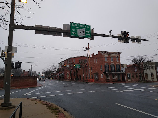
| East Patrick Street (MD 144). This is part of Maryland's Historic National Road Scenic Byway. |
 |
| MD 144 sign on MD 85 northbound. |
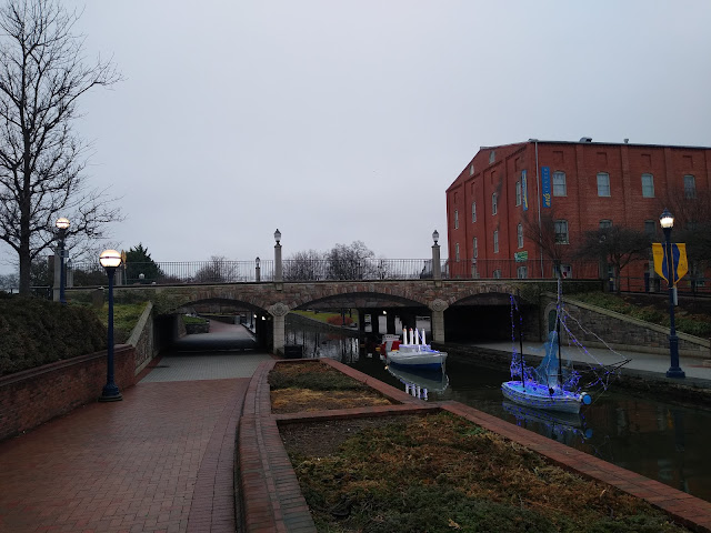 |
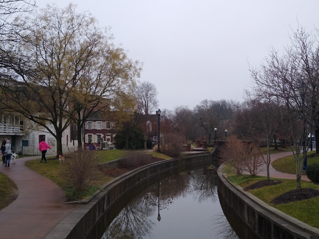
| On the trail at Carroll Creek Park. There is a 1.5 mile long walking tour along the creek where you can see bridges, sculptures, murals and more. |
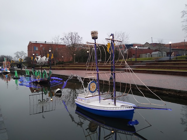 |
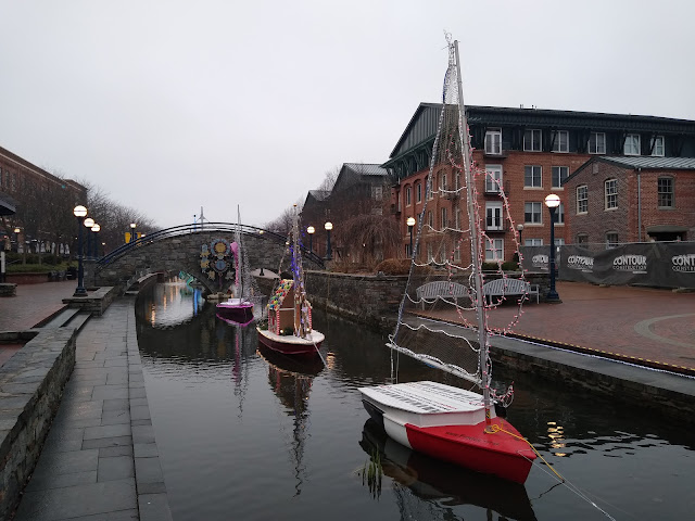
| Every year Carroll Creek Park is filled with individually designed lighted sailboats for an art installation managed by Color on the Creek called Sailing Through The Winter Solstice. This floating light installation sets sail in November and is on display through March. |
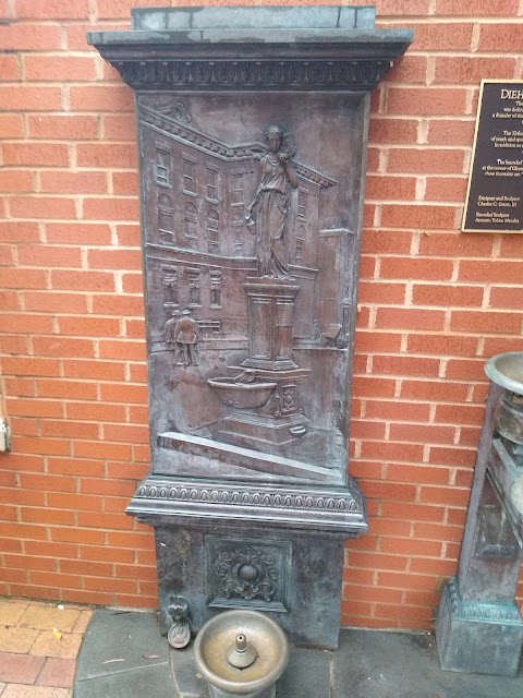 |
| Diehl Memorial Fountain. The original fountain here was 12 feet tall and depicted Hebe, the Greek goddess of youth and spring. |
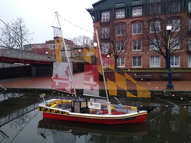 |
| The sails are based on the Maryland state flag. |
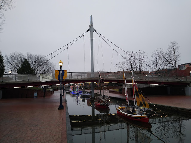 |
| Boats on parade. |
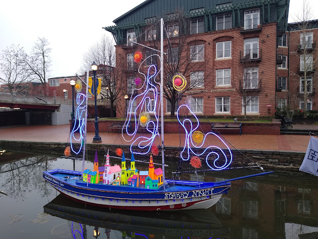 |
| Starry Night, named after the Van Gogh painting. |
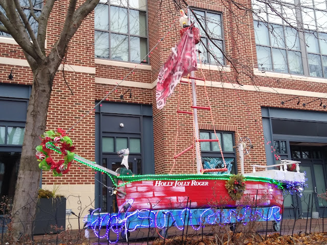 |
| Landlubbers will enjoy the Holly Jolly Roger. |

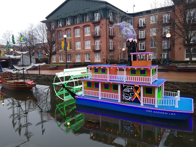 |
| Looks like a paddle steamer. |

 |
| Release the Kraken! No, not the Seattle Kraken. This is Washington Capitals country. |
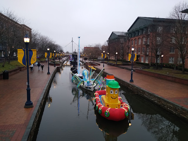 |
| Boats of all shapes and forms. |
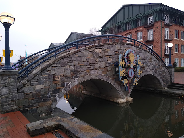 |
| Zodiac symbols adorn this bridge. |
 |
| The zodiac sculptures are the work of Nikolai Pakhomov of Iron Masters, LLC. |
 |
| The last of the boats on the Carroll Creek. |
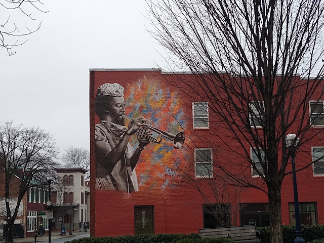 |
| Frederick also has plenty of murals along the sides of their buildings. |
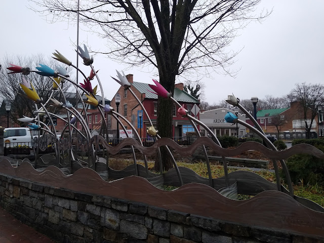 |
| This sculpture looks like tulips in the wind. |

 |
| I think this is supposed to be designed like a wayfinding sign. |
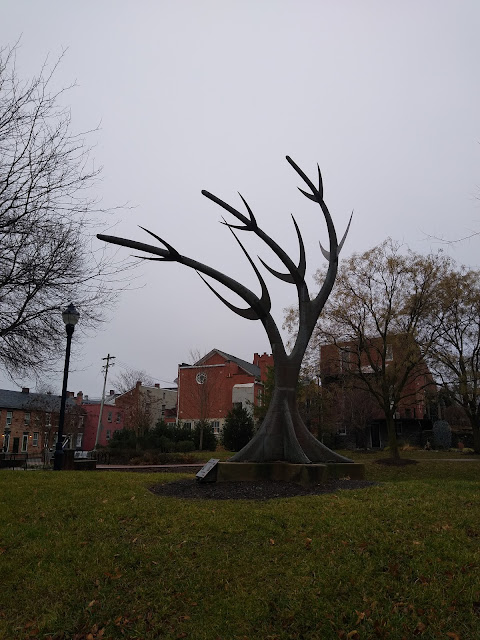 |
| That sculpture is supposed to be either a tree or a buck. |
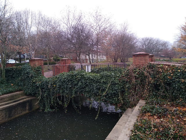 |
| Some ivy adorns this bridge over the Carroll Creek. |
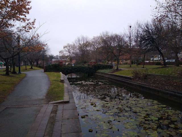 |
| Plus an assortment of lily pads. |
 |
| A poem by John Greenleaf Whittier about Barbara Fritchie. Whittier penned the ballad of Barbara Fritchie in 1863 after hearing about the alleged exploit from a friend of his. The ballad uses a German spelling of her name, Frietchie. |
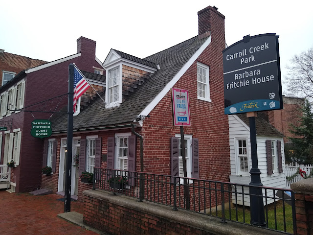 |
| The Barbara Fritchie House. Barbara Fritchie (1766–1862) is a central figure in the history of Frederick, Maryland. A Unionist during the Civil War, Fritchie is best known for her folkloric defiance in the face of Confederate troops. As the occupying rebel forces were marching out of Frederick in September 1862, Fritchie was said to have waved a Union flag from her upstairs window. The tidy Cape Cod style house from which she is said to have raised the flag was torn down in 1869 and reconstructed in 1927 from photos and documents of the original early 1800s home. |
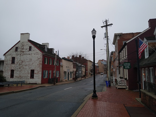 |
| Looking towards downtown Frederick on West Patrick Street. |
 |
| Carroll Creek is a common theme here. |
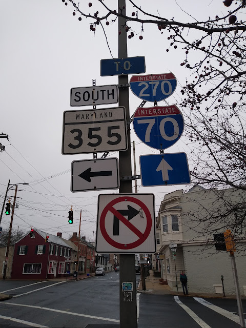 |
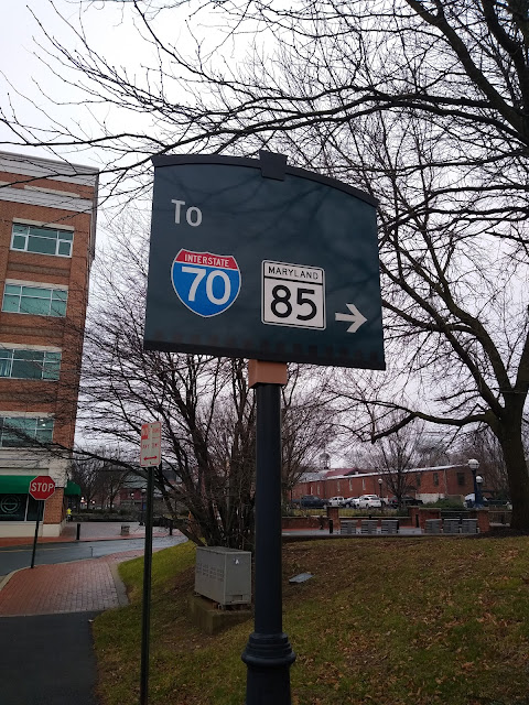
| Since the streets in Frederick are predominately maintained by the city, you'll find a handful of older state route shields. |
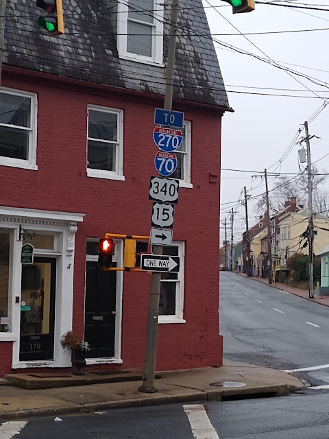 |
| I-70, I-270, US 15, US 40, US 340 and MD 144 all meet outside of downtown. |
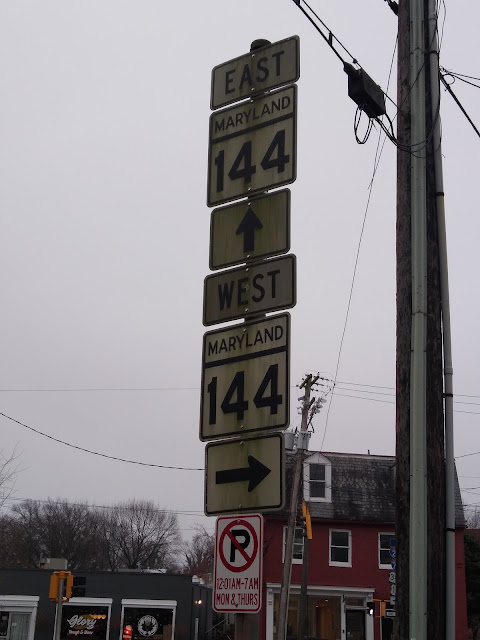 |
| A handful of old MD 144 shields. MD 144 follows I-68 and I-70 across Maryland. |
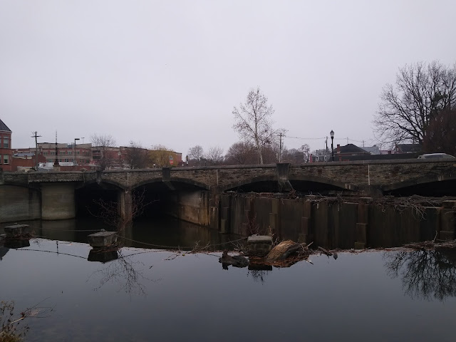 |
| Bentz Street and Carroll Parkway Bridge over the Carroll Creek. The Carroll Creek is dammed just west of the bridge, presumably for flood control purposes. |
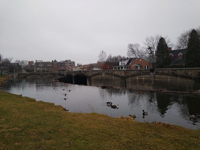 |
| Ducks seem to like Baker Park, which is a 58 acre linear park running through the heart of downtown Frederick. Baker Park was founded through the generosity of one of Frederick’s leading citizens. The park features a lake, carillon, the Schifferstadt Architectural Museum (the oldest house in Frederick County - I wish I had thought of seeing the house) and some interesting bridges, among other things. |
 |
| The Joseph D. Baker Bell Tower and Carillon. This 70 foot granite bell tower was erected in 1941 in Baker's memory. |

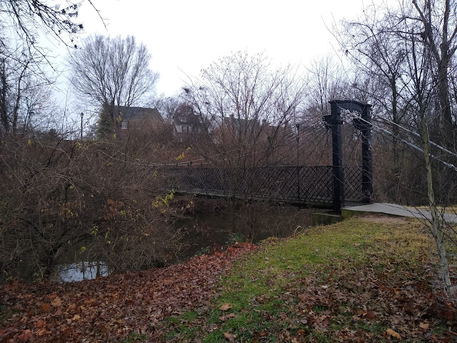 |
| Swinging bridge over Carroll Creek. |
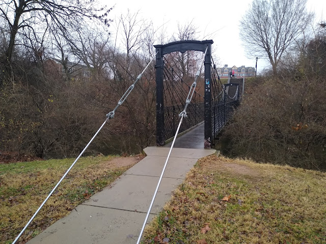 |
| The pedestrian Swinging Bridge spanning one hundred feet in length with galvanized cables, iron rods and wood deck was constructed across Carroll Creek on Bentz Street in Frederick in 1885 by Buckey and Firestone, a local foundry. It replaced an existing footbridge that was destroyed during a flood in 1885. In 1928, the bridge was moved to its present location in what is now Baker Park. |
 |
| Culler Lake. The lake was named for Lloyd Culler, who was a mayor of Frederick |

 |
| Baker Park Covered Bridge. This 40 foot long bridge over Carroll Creek was built in 1965. |
 |
| North Bentz Street. |
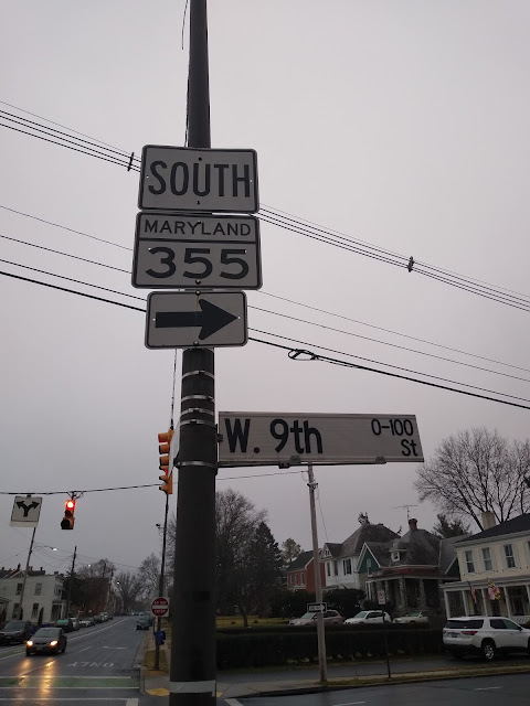 |
| Starting to finish my loop, we find another MD 355 shield. |
How to Get There:
Comments