
Hawaii Route 380


Hawaii Route 380 is a 6.2-mile State Highway which exists on the Island of Maui.  Hawaii Route 380 eastbound begins at Hawaii Route 30/Honoapiilani Highway near Waikapu.  Eastbound Hawaii Route 380 follows Kuihelani Highway 5.2-miles eastbound and another 1-mile on Dairy Road to a terminus at Hawaii Route 36A near Kahului Airport.  


Part 1; the history of Hawaii Route 380

The Island of Maui seemingly was not part of the original World War II era Hawaii Route System.  Circa 1955 the United States Bureau of Public Roads renumbered the Hawaii Route System.  The 1955 Hawaii Route Renumbering saw most of the conventions utilized by the current Hawaii State Route System established.  Primary Hawaii Routes were given two-digit numbers whereas Secondary Hawaii Routes were given three-digit numbers.  The Hawaii Routes were assigned in sequence for what Island/County they were located on coupled with what Federal Aid Program number they were tied to.  In the case of the Island of Maui it was assigned numbers in the range of 30-40.  

Hawaii Route 38 was assigned to a small corridor which connected Hawaii Route 36/Hana Highway near Kahului Airport southwest to Hawaii Route 35/Puunene Avenue via the publicly accessible portion of Dairy Road.  The earlier iteration of Hawaii Route 38 along Dairy Road can be seen on the 1955 United States Geological Map of Wailuku.  


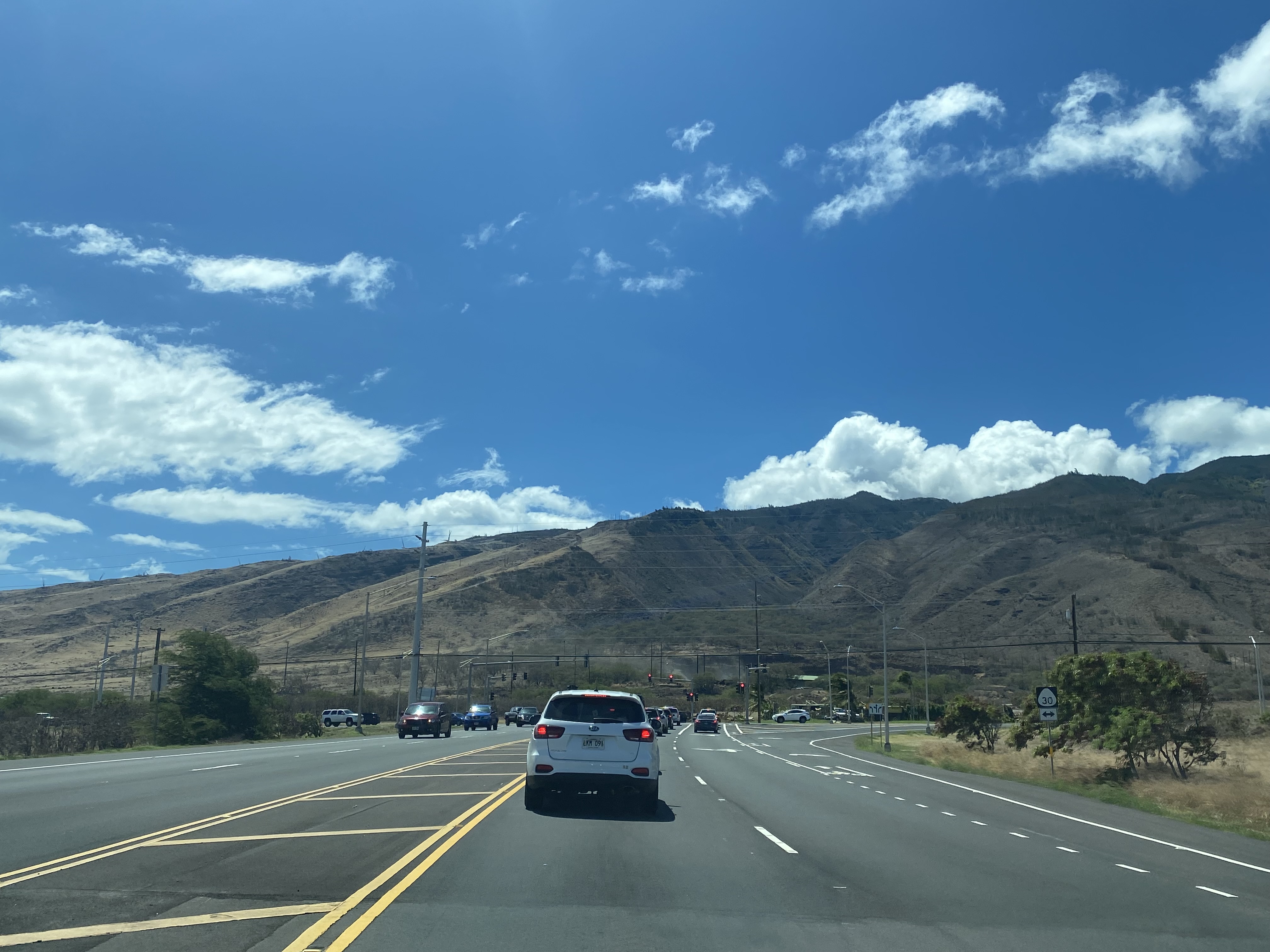
According to hawaiihighways.com an easement was granted to the State of Hawaii during 1971 to construct a State Highway on what was the privately owned part of Dairy Road.  Dairy Road west of Puunene Avenue was reconstructed to four-lane expressway standards as Hawaii Route 380 which connected to new terminus at Hawaii Route 30/Honoapiilani Highway.  Hawaii Route 380 can be seen first time on the 1983 United States Geological Survey Maps of Maui, Wailuku and Maalaea.  Hawaii Route 380 is displayed as following Keolani Place, Dairy Road and Kuihelani Highway from Kahului Airport west to Hawaii Route 30.  


Modern maps still display Hawaii Route 380 following Keolani Place to Kahului Airport despite it being field signed as Hawaii Route 36A.  It is unclear when signage on Keolani Place was swapped to Hawaii Route 36A. 


Part 2; a drive on Hawaii Route 380

Hawaii Route 380 westbound begins via right-hand turn onto Dairy Drive as Hawaii Route 36A transitions from Haleakala Drive onto Keolani Place.


Hawaii Route 380 westbound intersects Hawaii Route 36 at Hana Highway.  


Hawaii Route 380/Dairy Road westbound intersects Hawaii Route 3800 at Mayor Elmer F. Cravalho Way.  Westbound Hawaii Route 380/Dairy begins an unsigned multiplex of Hawaii Route 3800 towards Hawaii Route 3500 and Hawaii Route 311.


The multiplexed Hawaii Route 380 and Hawaii Route 3800 are signed eastbound from Puunene Avenue on Hawaii Route 311 northbound in addition to Hawaii Route 3500 southbound.  


Hawaii Routes 380 and 3800 westbound follow Dairy Road to Hawaii Route 311/Hawaii Route 3500 at Puunene Avenue.  Hawaii Route 3800 terminates at Puunene Avenue whereas Hawaii Route 380 westbound transitions onto Kuihelani Highway. 


Hawaii Route 380 follows Kuihelani Highway westbound to an unsigned intersection with Maui County Route 305 at Waiko Road.  


From Waiko Road, Hawaii Route 380 follows Kuihelani Highway to a western terminus at Hawaii Route 30/Honoapiilani Highway.  


Comments

Popular posts from this blog

Bridgeport Covered Bridge

The Bridgeport Covered Bridge is a historic crossing of the South Fork Yuba River located in Nevada County, California near Nevada City.  The Bridgeport Covered Bridge opened as a tolled crossing during 1862 as part of the larger Henness Pass Road.  The Bridgeport Covered Bridge closed to vehicle traffic during 1972 and was recently restored during 2021.  The Bridgeport Covered Bridge is historically California's longest covered span is thought to likely be the longest such structure surviving in the world.  Featured as the blog cover is the Bridgeport Covered Bridge during 1950 when it was an active part of Pleasant Valley Road.   The history of the Bridgeport Covered Bridge The history of Bridgeport Covered Bridge was featured in the  September 1950 California Highways & Public Works .  Bridgeport Covered Bridge was constructed during 1862 over the South Fork Yuba River.  The Bridgeport Covered Bridge served as part of the Virginia Turnpike Company maintained Henness Pass Roa

Former California State Route 215

  California State Route 215 was a short-lived state highway which existed in the Los Angeles Metropolitain area after the 1964 State Highway Renumbering.  California State Route 215 was aligned from US Route 60 at 5th Street in Pomona north to US Route 66 near Claremont via Garey Avenue.  California State Route 215 came to be after California State Route 71 was bisected in Pomona due to relinquishment of a portion of Garey Avenue due to the opening of a portion of the Corona Freeway (now Chino Valley Freeway) during 1958.  California State Route 215 was deleted by the Legislature during 1965. The history of California State Route 215 The initial segment of what was to become California State Route 215 was added to the State Highway System as part of the 1909 First State Highway Bond Act.  The First State Highway Bond Act defined what would become  Legislative Route Number 19  (LRN 19) as running from Claremont to Riverside.  The segment of LRN 19 between Claremont and Pomona would in

US Route 70 over San Augustin Pass

San Augustin Pass is a gap in the Organ Mountains, San Augustin Mountains and San Andres in Dona Ana County east of Las Cruces.  San Augustin Pass lies an elevation of approximately 5,600 feet above sea level and was originally traversed by New Mexico State Route 3.  US Route 70 would be realigned over San Augustin Pass during 1934 when it was extended to Los Angeles, California.  During 1963 US Route 82 would be extended through San Augustin Pass to Las Cruces.  Since the early the early 1990s signage of US Route 82 has been withdrawn to Alamogordo.  San Augustin Pass and US Route 70 are largely known for the numerous closures due to test firings originating from the White Sands Missile Range.   Part 1; the history of highway designations over San Augustin Pass San Augustin Pass traditionally has been the easiest from the Rio Grande in Las Cruces east to the Tularosa Basin.  The terrain conditions at San Augustin Pass allowed for an easy crossing in the gap between the Organ Mountains