Haleakala Highway is located on the Island of Maui and is comprised of numerous Hawaii State Routes. Haleakala Highway begins in Kahului near sea level and ascends over a course of approximately 37 miles to Red Hill at 10,023 feet above sea leave atop the volcanic mountain Haleakala. Haleakala Highway was completed between Kahului and Red Hill atop Haleakala during February 1935. Haleakala Highway is the only road to Haleakala National Park and incorporates portions of Hawaii Routes 36A, 37, 377 and 378.
This page is part of the Gribblenation Hawaii Roads series. A compellation of all Hawaii-related media from both Gribblenation and RoadwayWiz can be found by clicking
here.
Part 1; the history of Haleakala Highway
Much of the information pertaining to the early history of Haleakala Highway in this blog is sourced from the National Park Service article titled Haleakalā Highway:
As noted in the introduction Haleakala Highway is made up of several Hawaii State Routes and National Park Service maintained roadway. The mileage comprising Haleakala Highway is as follows:
- 0.3 miles of Hawaii Route 36A between Hawaii Route 36/Hana Highway and Hawaii Route 380/Dairy Road near Kahului Airport.
- 2.1 miles of Maui County maintained roadway from Hawaii Route 380/Dairy Road through the grounds of Kahului Airport to the junction of Hawaii Route 37/Hawaii Route 36. This segment is partially signed as Haleakala Highway east of Dairy Road and appears on some maps as Kala Road. This segment was once part of Hawaii Route 37 but may be classified as unsigned Maui County Route 396. This segment used to be overtly continuous with the rest of Haleakala Highway but has since been realigned.
- 7.7 miles of Hawaii Route 37 from Hawaii Route 36/Hana Highway to Hawaii Route 377 near Pukalani.
- 6.0 miles of Hawaii Route 377 from Hawaii Route 37 near Pukalani to Hawaii Route 378.
- The entire 10.2 miles of Hawaii Route 378 from Hawaii Route 377 to the boundary of Haleakala National Park.
- 10.67 miles of National Park Service maintained road from the terminus of Hawaii Route 378 to Red Hill. The National Park Service maintained portion of Haleakala Highway within Haleakala National Park is sometimes referenced as Haleakala Crater Road.
The above mileage figures for the Hawaii State Routes comprising Haleakala Highway are referenced from the Maui page of hawaiihighways.com. The 10.67 mileage figure of Haleakala Highway within Haleakala National Park is sourced from the National Park Service.
Haleakala has been part of the transportation corridors of Maui for centuries. Numerous trails once ran through Haleakala Crater which connected the villages of eastern Maui to the rest of the island. During 1848 much of Hawaii was privatized under the Great Mahele and the lands now comprising the Summit District of Haleakala National Park came under the ownership of Kamaikaaloa. Kamaikaaloa was a notable figure during the Kingdom of Hawaii and was a manager for King Kamehameha III.
During 1888 the Kamaikaaloa Estate was purchased by Haleakala Ranch who used the lands to graze cattle. During the 1890s Haleakala became one of the most popular tourist attractions on Maui and horseback tours began to be offered by Haleakala Ranch. During 1894 a rest house was constructed by Maui businessmen at Kalahaku. Visitation to Haleakala began to lag behind Kilauea on the Island of Hawaii due to the lack of an access roadway. During 1911 the first proposals for a highway to Haleakala began to emerge.
On August 1, 1916, Hawaii Volcanos National Park was created by Congress which included an annex on Haleakala. Haleakala Ranch during 1928 traded lands with the Federal Government for what is now the Summit District of Haleakala National Park. During 1929 Hawaii Territory began to construct their portion of Haleakala Highway from Kahului to boundary of the Haleakala Annex of Hawaii Volcanos National Park.
During 1933 the National Park Service would break ground on their portion of Haleakala Highway within Hawaii Volcanos National Park. Haleakala Highway within Hawaii Volcanos National Park was planned as a 14-foot-wide roadway which was comprised of modern bridges, culverts and other drainage features. Construction of Haleakala Highway during early 1935 be seen in a National Park Service sourced photo below.
The National Park Service maintained portion of Haleakala Highway was dedicated on February 23, 1935. The grand opening of Haleakala Highway was planned by the Maui Chamber of Commerce. During the opening of Haleakala Highway 320 cars made the climb from Kahului to Red Hill. The opening of Haleakala Highway was broadcast via NBC Radio and was estimated to have reached 10,000,000 listeners.
The opening events along Haleakala Highway on February 23, 1935, can be seen in a series of National Park Service sourced photos.
Below the routing of Haleakala Highway is depicted on a souvenir program cover from February 23, 1935.

Following the attack on Pearl Harbor on Oahu on December 7, 1941, the military presence in Hawaii Territory was immediately bolstered. Although the main influx of military activity in Hawaii Territory was centered around Oahu there also was a military presence on Maui. During 1942 construction of Naval Air Station Kahului began and established many roads around the facility. It is likely that what is now Keolani Place was constructed as part of Naval Air Station Kahului.
Following the conclusion of World War II, Naval Air Station Kahului was turned over to the Hawaii Aeronautics Commission. The facility was converted to civilian usage and reopened during June 1952 as Kahului Airport. Haleakala Highway can be seen traversing the grounds east from Hana Highway through the grounds of Kahului Airport on the 1954 United States Geological Survey map of Paia.

The Island of Maui seemingly was not part of the original World War II era Hawaii Route System. Circa 1955 the United States Bureau of Public Roads renumbered the Hawaii Route System. The 1955 Hawaii Route Renumbering saw most of the conventions utilized by the current Hawaii State Route System established. Primary Hawaii Routes were given two-digit numbers whereas Secondary Hawaii Routes were given three-digit numbers. The Hawaii Routes were assigned in sequence for what Island/County they were located on coupled with what Federal Aid Program number they were tied to. In the case of the Island of Maui it was assigned numbers in the range of 30-40.
Hakeakala Highway can be seen on the
1959 Gousha Highway Map of Maui being assigned numerous Hawaii State Route designations. Haleakala Highway appears as Hawaii Route 37 from Hawaii Route 36/Hana Highway to Pukalani, Hawaii Route 377 (mistakenly displayed 337) from Pukalani to Hawaii Route 378 and Hawaii Route 378 to the boundary of Hawaii Volcanos National Park.
Hawaii became a State on August 21, 1959. Haleakala National Park was split from Hawaii Volcanos National Park by Congress on July 1, 1961. During the 1960s Haleakala Highway east from Hana Highway through Kahului Airport may have been signed as Hawaii Route 37 and Military Route 37. According to hawaiihighways.com the Military Route 37 was not part of the numbered highway system on Maui by 1981.


Haleakala Highway through Kahului Airport appears to have been bisected by an extension of the south runway approach and replaced with Kala Road (an apparent shorthand reference to Haleakala Highway) at some point during the 1990s. The bisected Haleakala Highway through Kahului Airport appears on the 1997 United State Geological Survey Map of Maui.
It is unclear when Hawaii Route 36A was designated but it appears to have been a recent addition. Hawaii Route 36A seems to have been designated to simplify the signed route access to Kahului Airport. Hawaii Route 36A was designated over Haleakala Highway east from Hana Highway to Hawaii Route 380/Dairy Road. From Dairy Road the designation of Hawaii Route 36A replaced Hawaii Route 380 on Keolani Place to Kahului Airport.
Part 2; a drive on the Hawaii Route 36A portion of Haleakala Highway and Kala Road
From Hawaii Route 36/Hana Highway eastbound traffic is advised that Kahului Airport can be accessed by following Hawaii Route 36A onto Haleakala Highway.
Hawaii Route 36A eastbound follows Haleakala Highway to Hawaii Route 380 at Dairy Road and makes a left hand turn onto Keolani Place. Haleakala Highway continues straight towards the boundary of Kahului Airport.
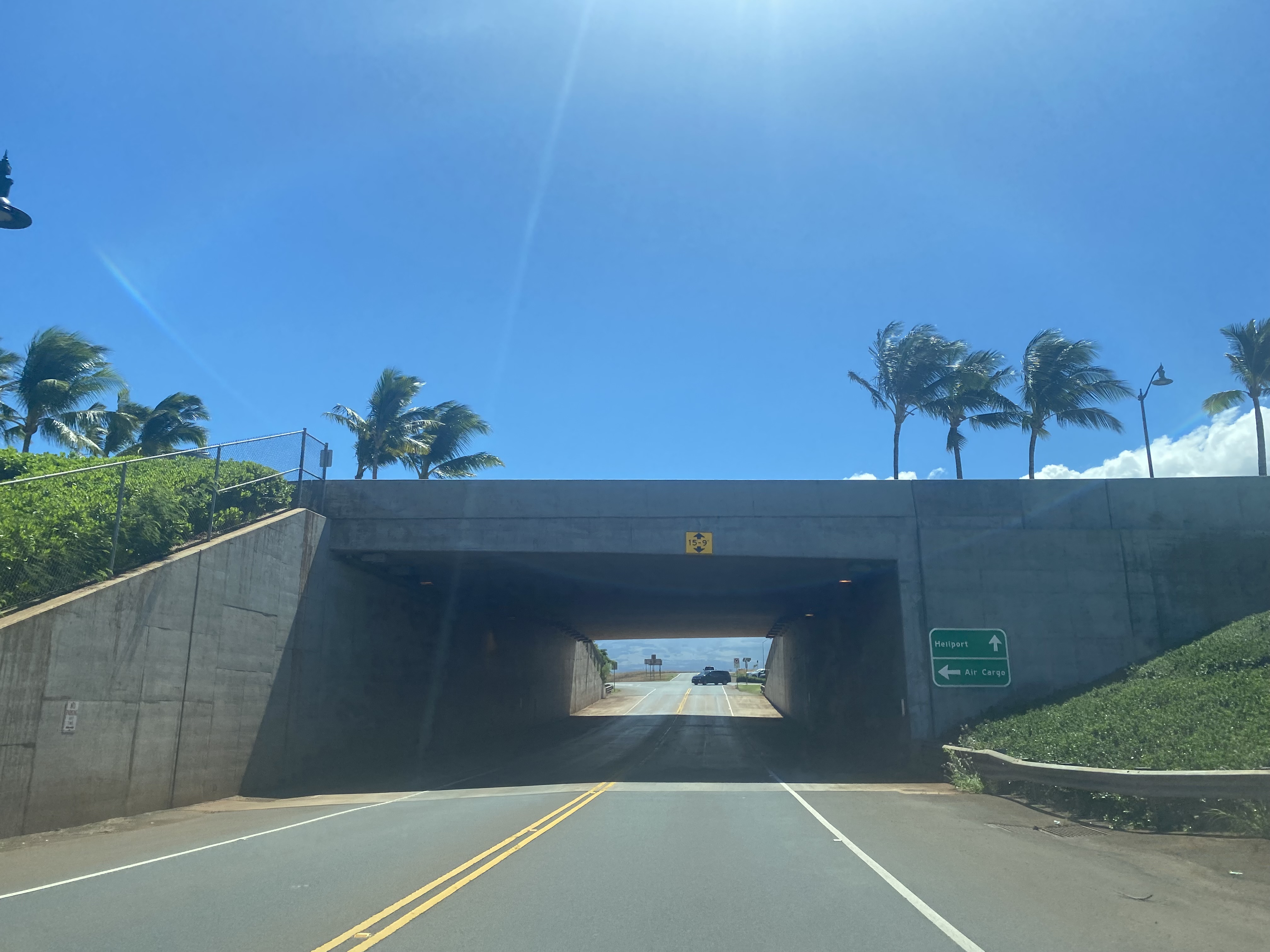
Haleakala Highway at the boundary of Kahului Airport transitions onto Kala Road and passes under Hawaii Route 3800/Mayor Elmer F. Cravalho Way.
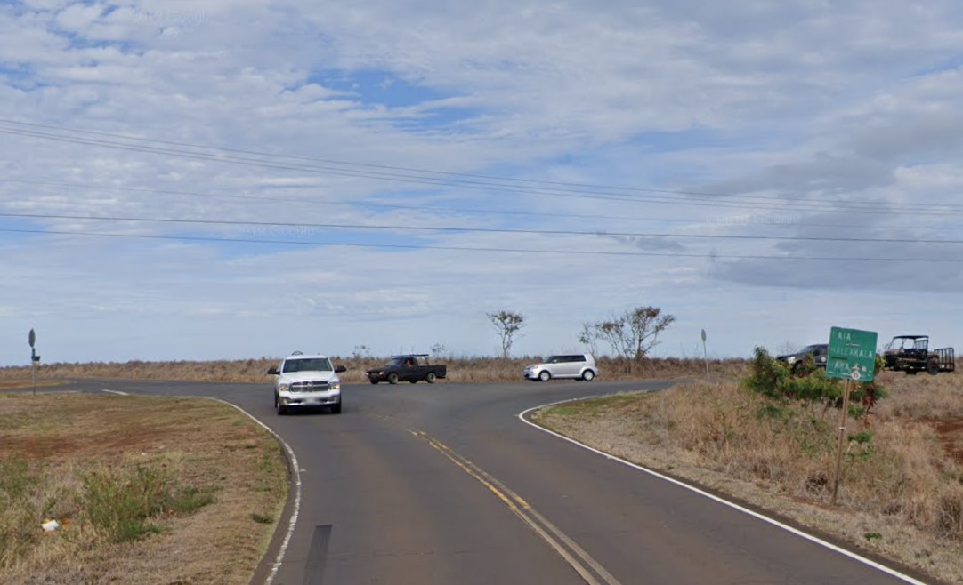
Kala Road intersects of the opposite end of Haleakala Highway near the Kahului Airport helipad complex. A weathered guide sign directs traffic to the continuation of Haleakala Highway towards Hawaii Route 37.
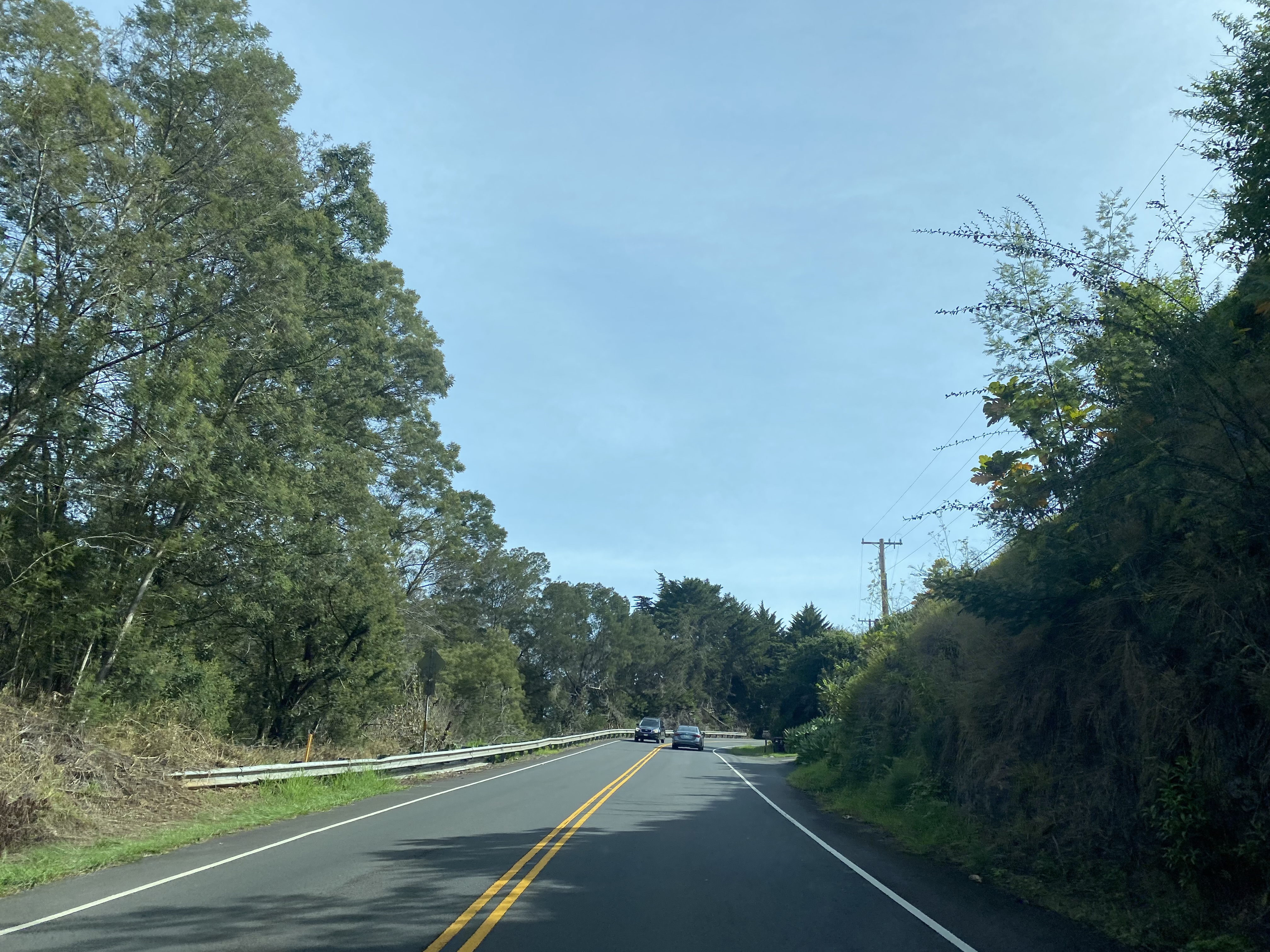
Haleakala Highway crosses a 1920s era culvert and intersects Hawaii Route 36/Hana Highway. Haleakala Highway transitions onto Hawaii Route 37 towards Pukalani, a guide sign notes Haleakala Crater to be 36 miles to the southeast.
Part 3; a drive on the Hawaii Route 37, 377 and 378 segments of Haleakala Highway
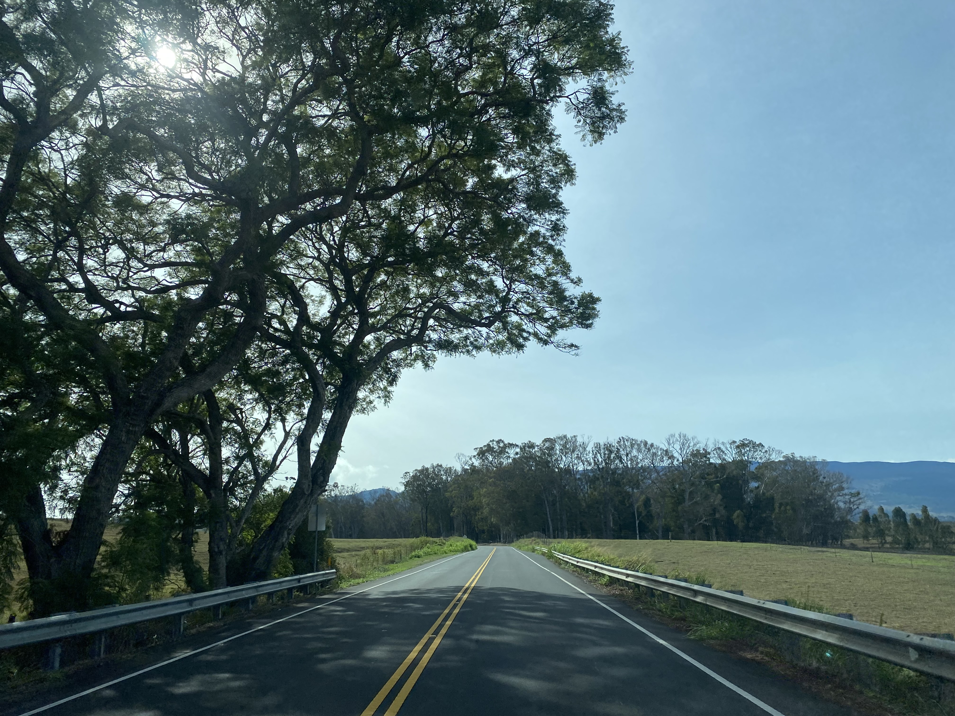
Hawaii Route 37/Haleakala Highway begins to ascend towards Pukalani as a four-lane highway. At the outskirts of Pukalani modern Hawaii Route 37/Haleakala Highway intersects Old Haleakala Highway.
Hawaii Route 37/Haleakala Highway intersects Maui County Route 365 at Makawao Avenue.
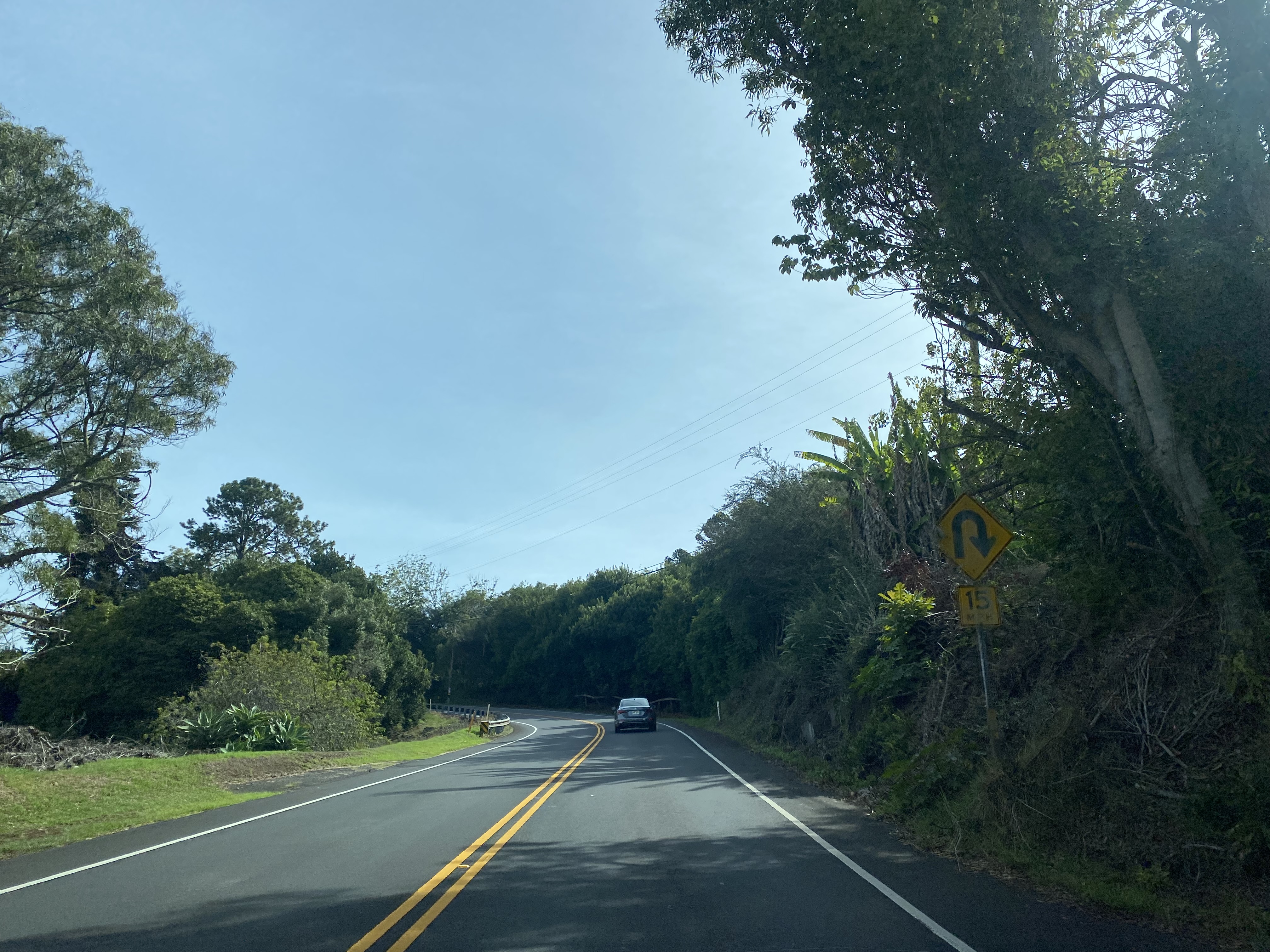
An old Hawaii Route 37 shield can be found in Pukalani following Maui County Route 365/Makawao Avenue to Old Haleakala Highway in Pukalani. Old Haleakala Highway in Pukalani was bypassed by the modern highway during September 1993. The community of Pukalani lies at an elevation of 1,526 feet above sea level.
Haleakala Highway transitions from Hawaii Route 37 to Hawaii Route 377 via left hand turn at the intersection of Old Haleakala Highway and Kula Highway. Hawaii Route 37 continues another 13.6 miles south via Kula Highway to Maui County Route 31/Piilani Highway.
Hawaii Route 377/Haleakala Highway approximately a mile east of Pukalani crosses a single lane bridge approaching Kealaloa Avenue. The bridge near Kealaloa is the only one lane span on the entirety of Haleakala Highway.
Hawaii Route 377/Haleakala Highway continue to ascend and enter the outskirts of Kula towards Hawaii Route 378. Haleakala Highway makes a left hand turn onto Hawaii Route 378 whereas Hawaii Route 377 continues for another 3.2 miles south via Kekaulike Avenue to Hawaii Route 37/Kula Highway.
As Hawaii Route 378 begins traffic is notified that Haleakala Crater is 22 miles away. Haleakala National Park requires reservations for 3 AM-7 AM entries due to the popularity of sunrise viewing from Haleakala Crater.
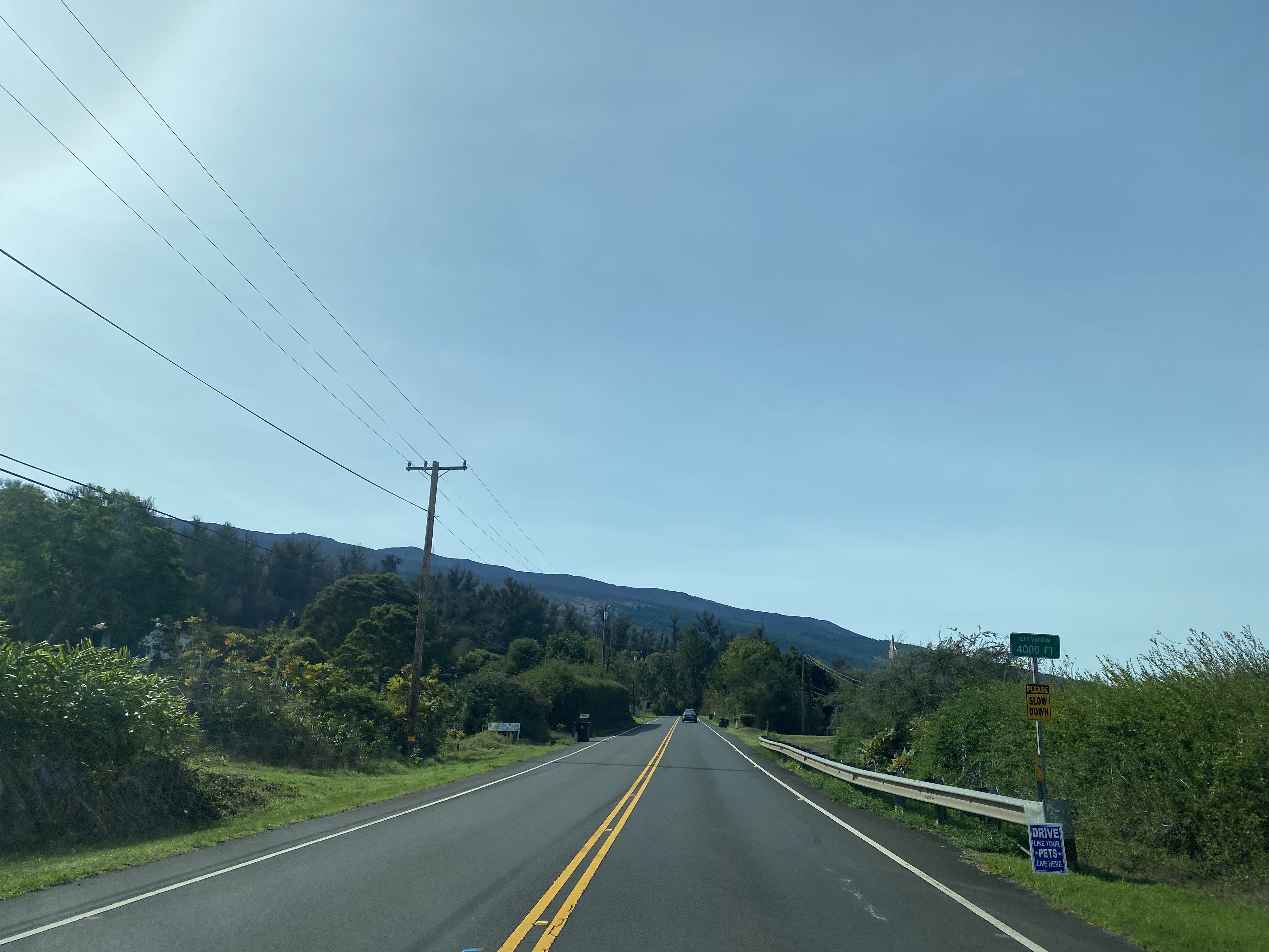
The Hawaii Route 378 portion of Haleakala Highway largely consists of sweeping switchbacks. Hawaii Route 378/Haleakala Highway quickly climbs above 3,500 feet above sea level.
Hawaii Route 378/Haleakala Highway climbs to 4,000 feet above sea level.
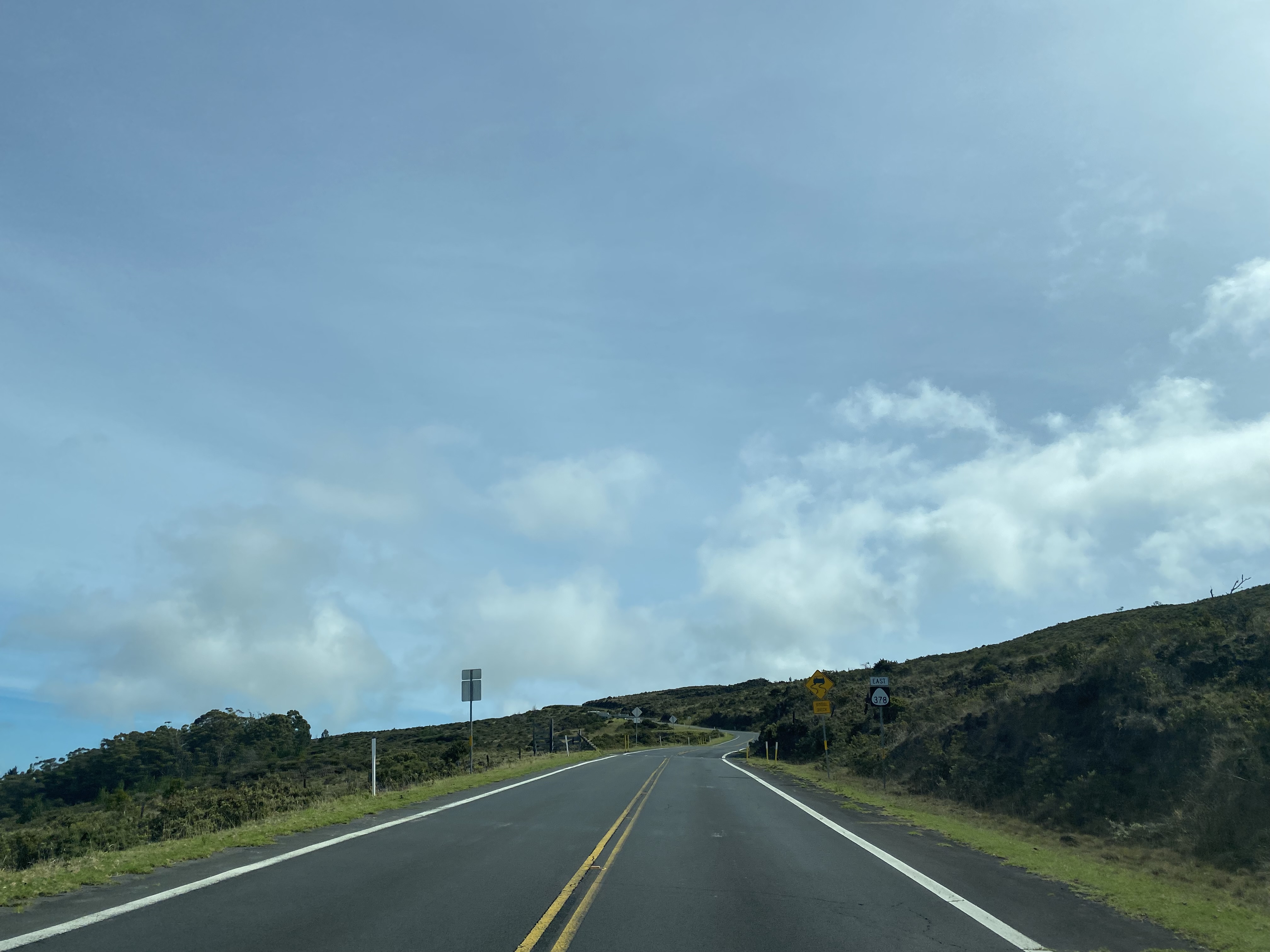
Hawaii Route 378/Haleakala Highway continues to ascend through switchbacks to a clearing from where much of western Maui can be viewed.
Hawaii Route 378/Haleakala Highway climbs into a tree line approaching Haleakala National Park and passes by a 6,500-foot elevation placard.
Hawaii Route 378/Haleakala Highway climbs to the Haleakala National Park boundary at 6,721 feet above sea level. The unsigned terminus of Hawaii Route 378 at the Haleakala National Park boundary is the highest State Highway point on the Island of Maui. The boundary of Haleakala National Park is easy to identify due to the presence of a cattle guard.
Part 4; Haleakala Highway within Haleakala National Park to Red Hill
Haleakala Highway passes by a large Haleakala National Park sign and a park entrance station.
Upon passing through the entry station Haleakala Highway passes by Hosmer Grove Campground.
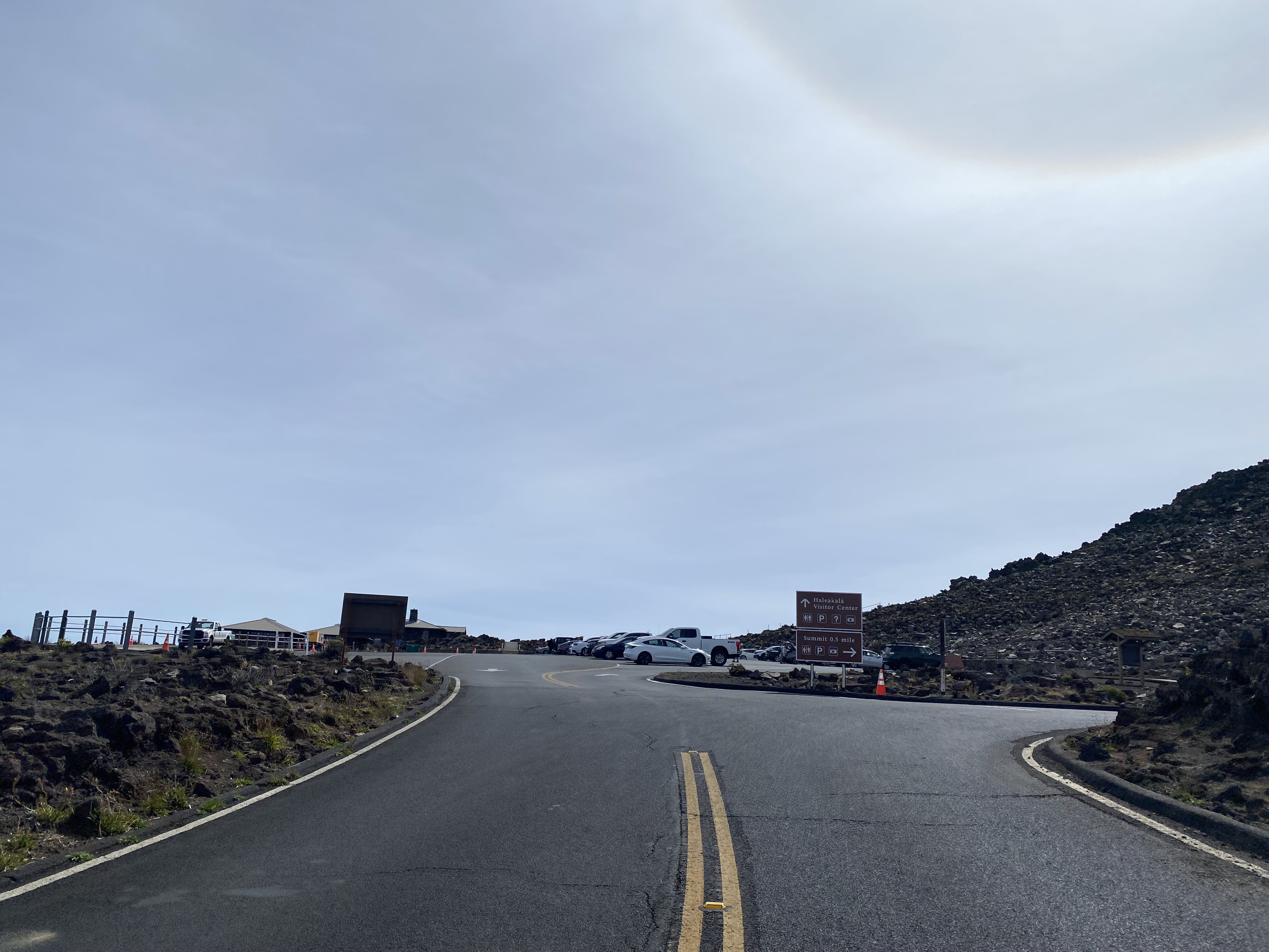
Haleakala Highway ascends to 7,000 feet above sea level approaching a Haleakala National Park visitor center.


Haleakala Highway continues to ascend and intersects the Halemauu Trail turnoff.
Haleakala Highway ascends to the Leleiwi Overlook.
Haleakala Highway climbs above 9,000 feet above sea level.
Haleakala Highway passes the Kalahaku Overlook.
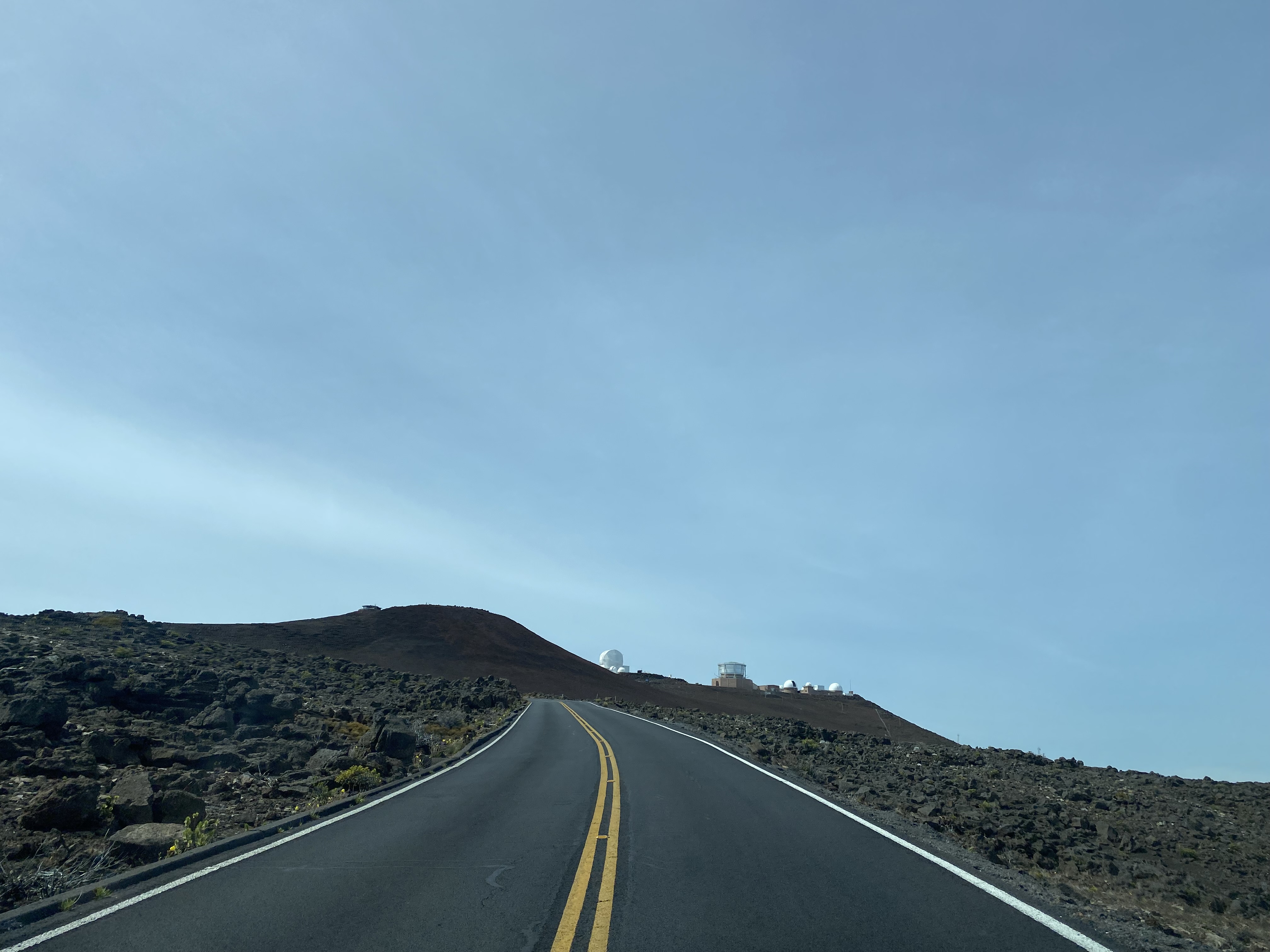
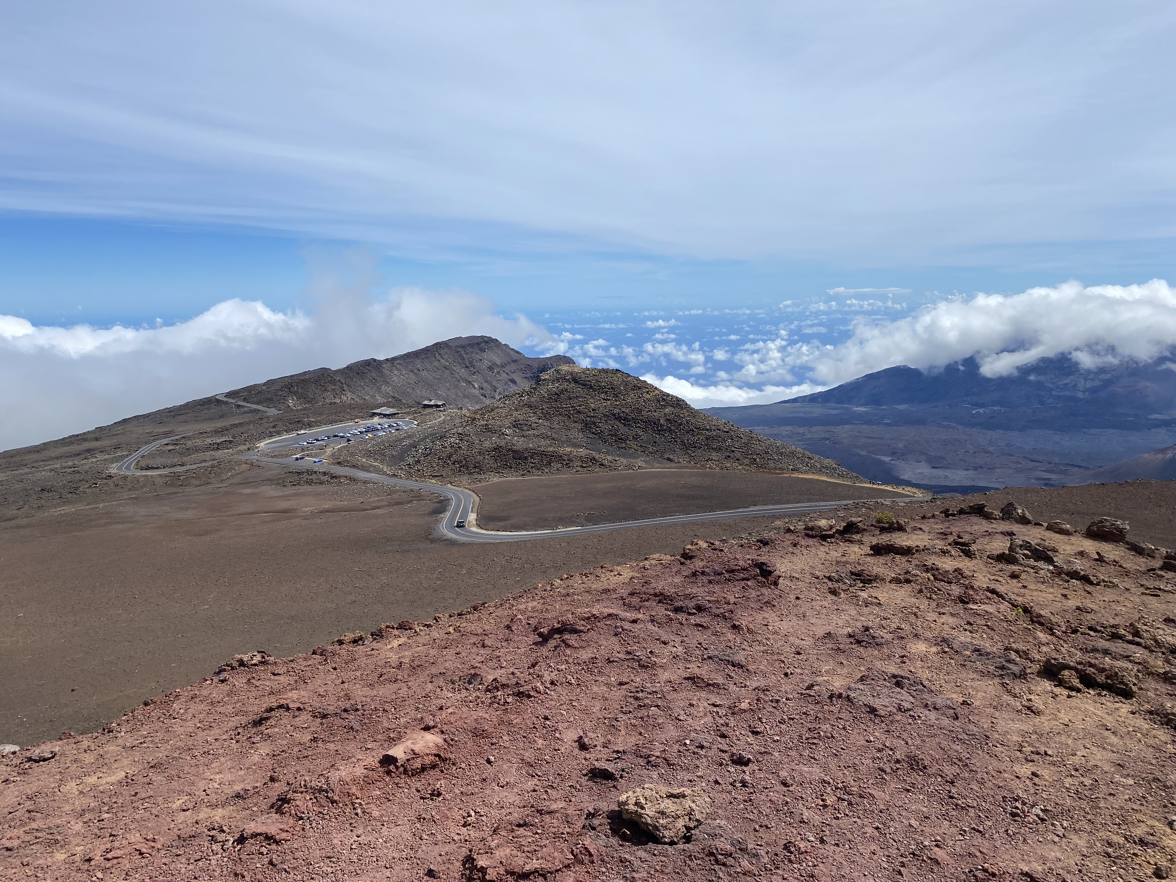
Haleakala Observatory begins to come into view as Haleakala Highway approaches the Haleakala Visitor Center. The final half mile of Haleakala Highway continues via a right hand turn from the Haleakala Visitor Center.
Haleakala Highway passes by Skyline Road which accesses Haleakala Observatory. Haleakala Highway terminates at the 10,023-foot summit of Red Hill.
The Red Hill Summit building denotes the 10,023-foot elevation on the facade.
An information plaque at the Red Hill Summit House notes the depth of Maui extends 19,680 feet below the Pacific Ocean.
Below is an informational plaque depicting Haleakala Highway and the area around Red Hill.
Mauna Kea and Mauna Loa can be observed facing south from the Red Hill Summit House towards the Island of Hawaii.
Haleakala Observatory is located near Red Hill at a 10,010-foot-high peak. Haleakala Observatory was established during 1961 when Haleakala National Park was spun off from Hawaii Volcanos National Park. The Air Force, University of Hawaii and LCOGTN all have a presence at Haleakala Observatory.
Western Maui and the Island of Lanai can be observed from Red Hill.
The United States Geological Survey monument atop Red Hill was placed during 1966.
The view from Red Hill facing Haleakala Visitor Center and PaKaoao.
Part 5; the PaKaoao Trail
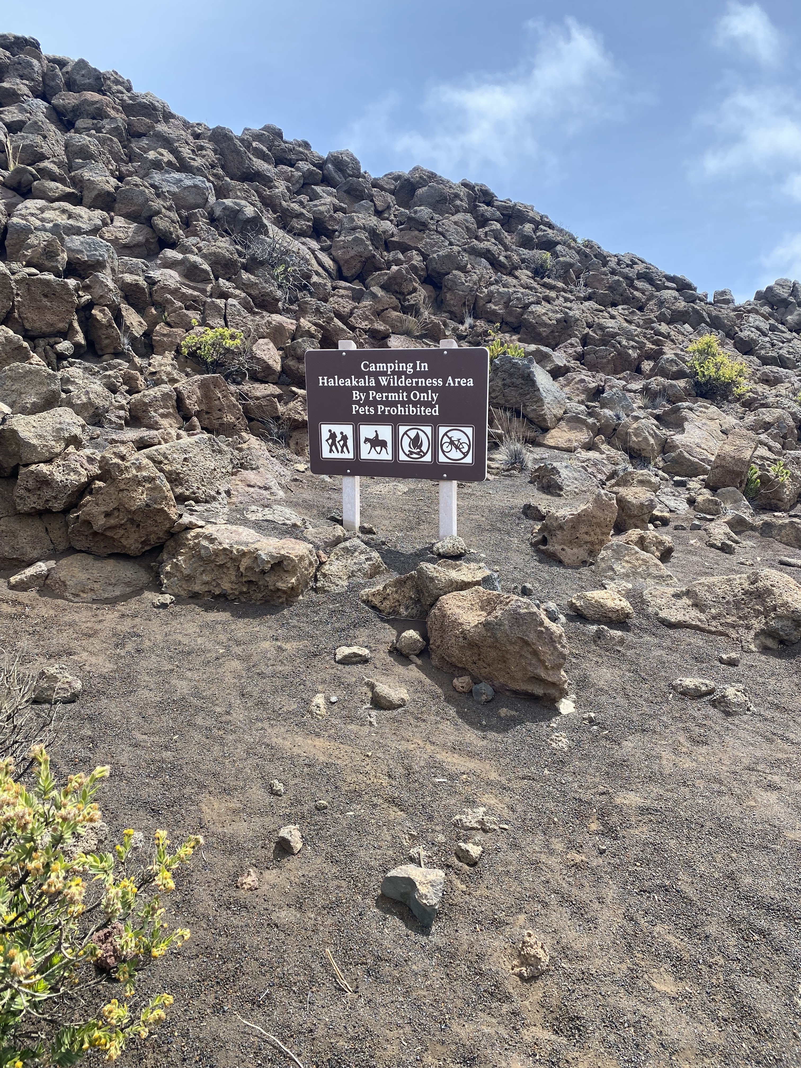
From the Haleakala Visitor Center, the short PaKaoao Trail can be accessed. The PaKaoao Trail is only 0.2-miles long and offers an unobstructed view facing east into Haleakala Crater.
Part 6; the Sliding Sands Trail
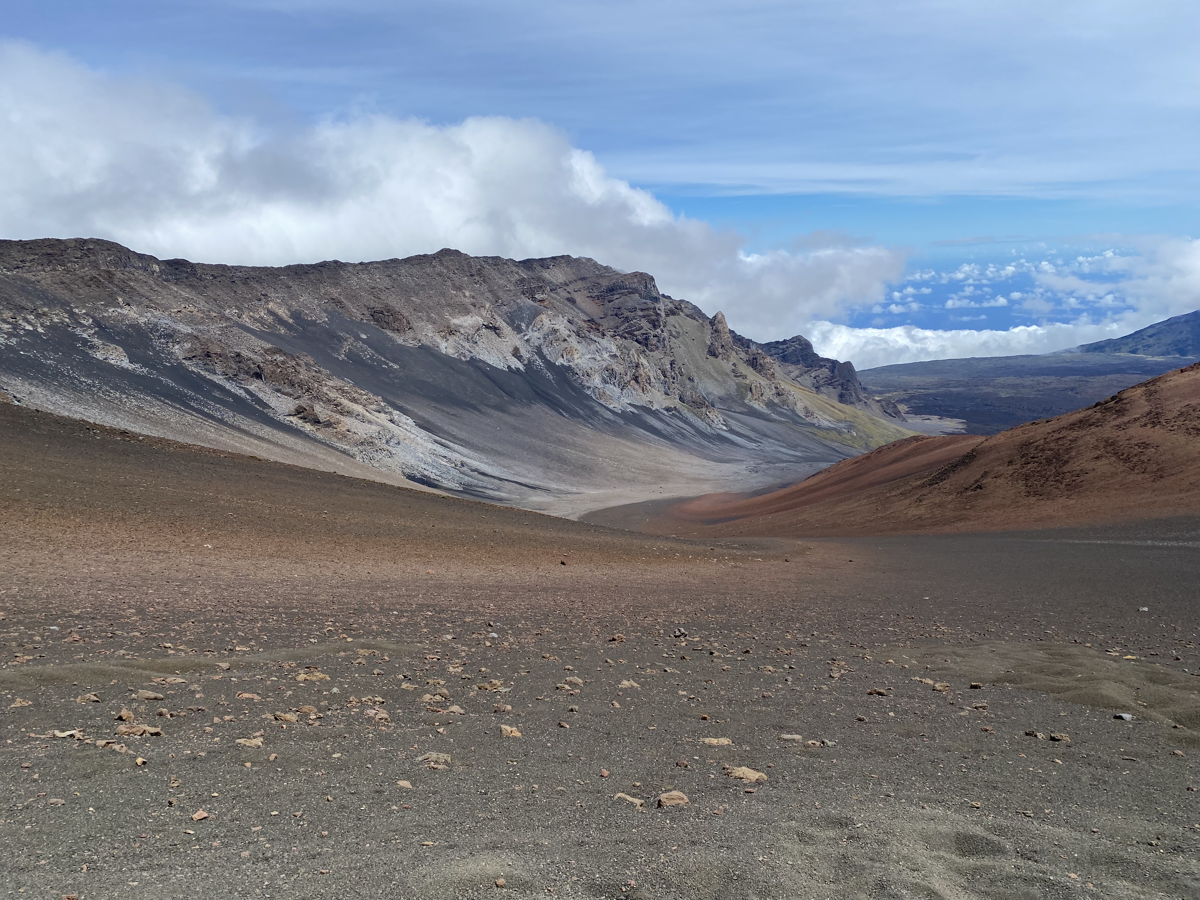
The Sliding Sands Trail (Keoneheehee Trail) can be accessed from the Haleakala Visitor Center. An informational plaque near the Sliding Sands Trailhead depicts what the summit of Haleakala may have once looked like. The current summit and crater of Haleakala was formed from erosion rather than explosive volcanic activity. Numerous recent volcanic cones can be observed facing east into Haleakala Crater from the rim of the Sliding Sands Trail.
The Sliding Sands Trail descends into Haleakala Crater for approximately 6.5 miles. Many of the volcanic cones of Haleakala Crater can easily be observed within the first 3 miles of the Sliding Sands Trail.


Comments