County Route J14 is a 47.91-mile highway located within Stanislaus County and Calaveras County. Presently County Route J14 is aligned between California State Route 99 in Turlock to California State Route 26 near Jenny Lind. County Route J14 traverses some of the more obscure areas of northern San Joaquin Valley and the Sierra Nevada Foothills. A portion of California State Route 165 from Turlock to Los Banos was once part of the original scope of County Route J14.
Part 1; the history of County Route J14
County Route J14 was not one of the original Sign County Routes defined in 1958 when the California County Route Marker Program began. County Route J14 was defined sometime between 1964-65 as a new highway aligned from California State Route 152-33 in Los Banos north to California State Route 26 near Jenny Lind. As originally defined County Route J14 was approximately 78 miles in length which made it slightly longer than County Route J16. County Route J14 can be seen below on the 1966 Gousha California Highway Map published at the behest of the California State Department of Public Works.

County Route J14 south of California State Route 99 in Turlock to California State Route 152-33 in Los Banos was spun off into the second designation of California State Route 165 by way of 1970 Legislative Chapter 1473. The second California State Route 165 was defined as a 38-mile highway between California State Route 99 in Turlock to Interstate 5 approximately 9 miles south of Los Banos. The creation of the second California State Route 165 aligns with the opening of Interstate 5 in the Los Banos area. California State Route 165 seemingly was designated to permit access from a State maintained facility in Los Banos to both Interstate 5 and California State Route 99. It is not clear if County Route J14 ever reached Interstate 5 when freeway opened south of Los Banos.
California State Route 165 can be seen on the 1975 Caltrans Map complete between Interstate 5 and Stevinson. The unbuilt segment of California State Route 165 between Stevinson to Turlock likely was not up to State standards and probably was signed as County Route J14.
California State Route 165 is shown complete to Turlock on the 1979 Caltrans Map. It was likely at this point that County Route J14 was truncated to California State Route 99.
The present scale of County Route J14 can be observed on the below maps (courtesy cahighways.org).
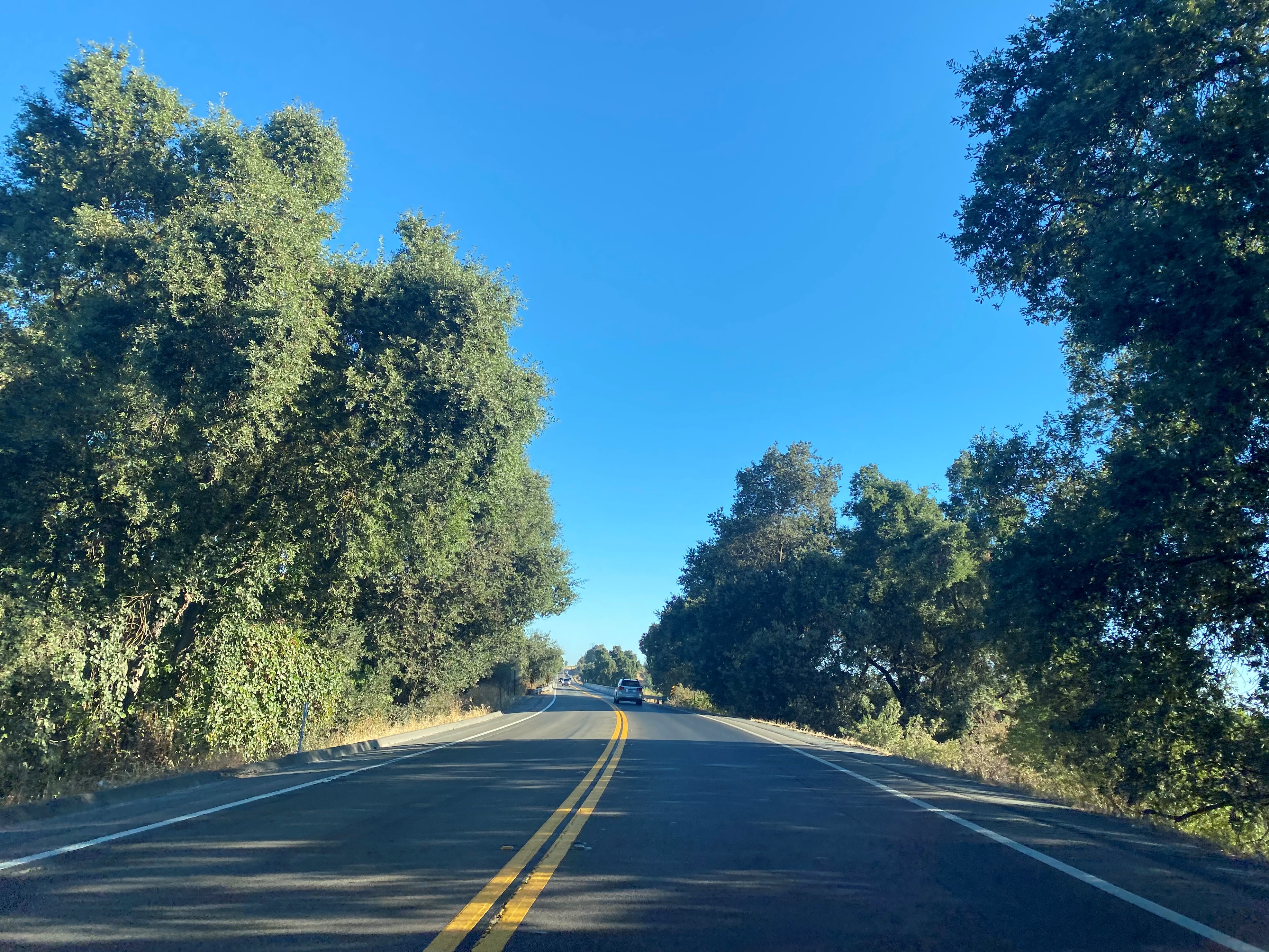
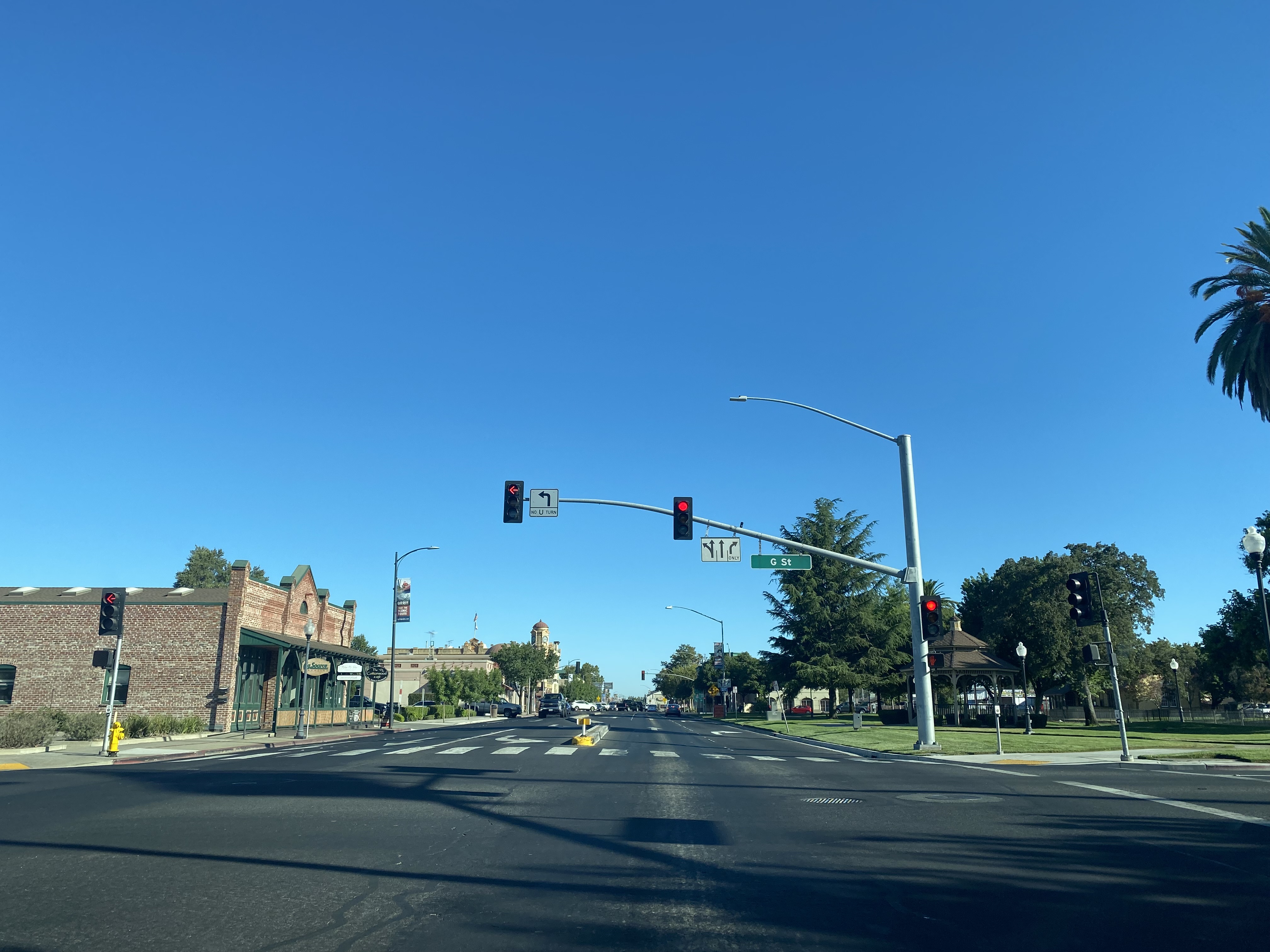
Part 2; a drive on County Route J14From northbound California State Route 99 traffic in Turlock of Stanislaus County can access California State Route 165 and County Route J14 via Exit 211. Traffic headed onto County Route J14 is directed to turn north onto Linder Avenue towards downtown Turlock and Oakdale.
County Route J14 northbound follows Linder Avenue towards Olive Avenue in downtown Turlock. Upon County Route J14 transitioning to Olive Avenue it picks up a multiplex of County J17.
County Route J14 northbound follows Olive Avenue over the Union Pacific railroad and makes a left-hand turn onto former US Route 99 on Golden State Boulevard. The multiplex of County Route J17 departs via right-hand turn onto Golden State Boulevard.
Turlock was plotted in December 1871 as a Southern Pacific Railroad siding by wheat farmer John William Mitchell. The name "Turlock" is thought to have been taken from the Irish town of Turlough which had been popularized in an 1870 Harper's Weekly article. Given Turlock was located on the Southern Pacific Railroad it grew in importance quickly and incorporated during February of 1908.
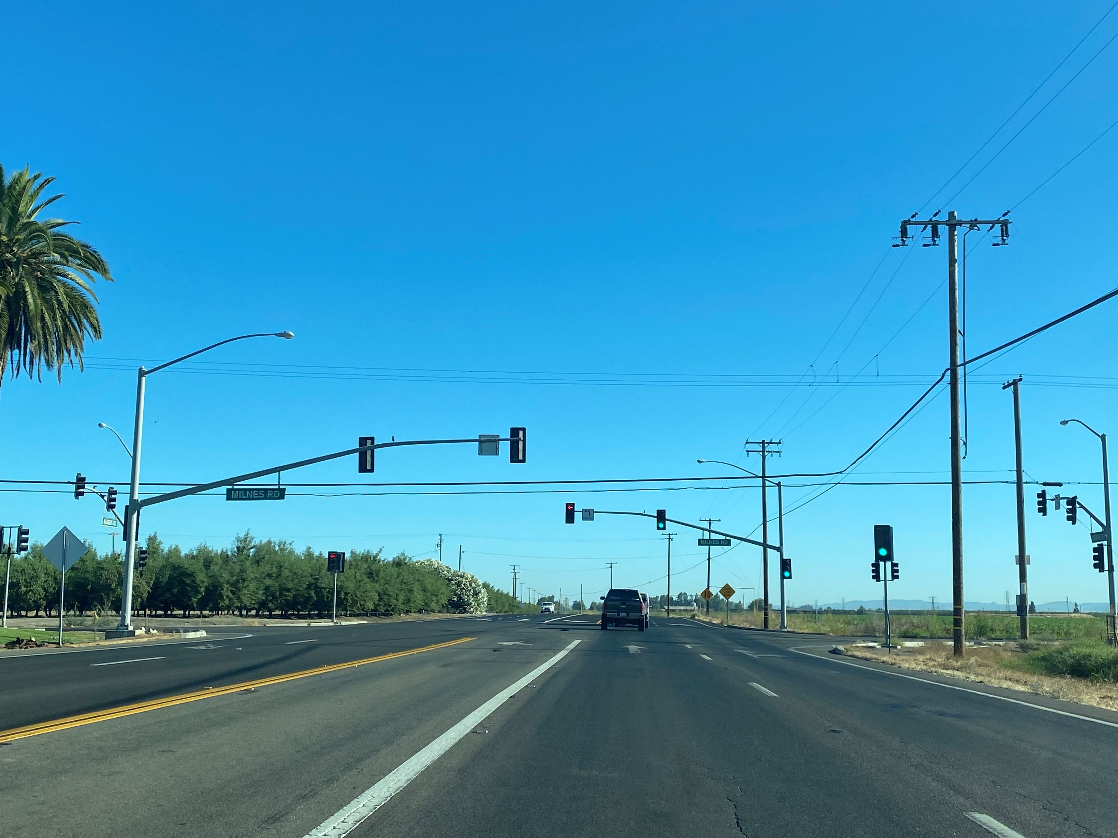
County Route J14 northbound departs Golden State Boulevard via right-hand turn onto Geer Road. Denair, Hughson and Oakdale are all listed as control cities as County Route J14 turns onto Geer Road.
County Route J14 follows Geer Road north to the city limit of Turlock.
North of Turlock County Route J14 follows Geer Road and intersects County Route J7 at Santa Fe Avenue.
County Route J14 north of County Route J7 continues to follow Geer Road and crosses the Tuolumne River near Fox Grove Park.
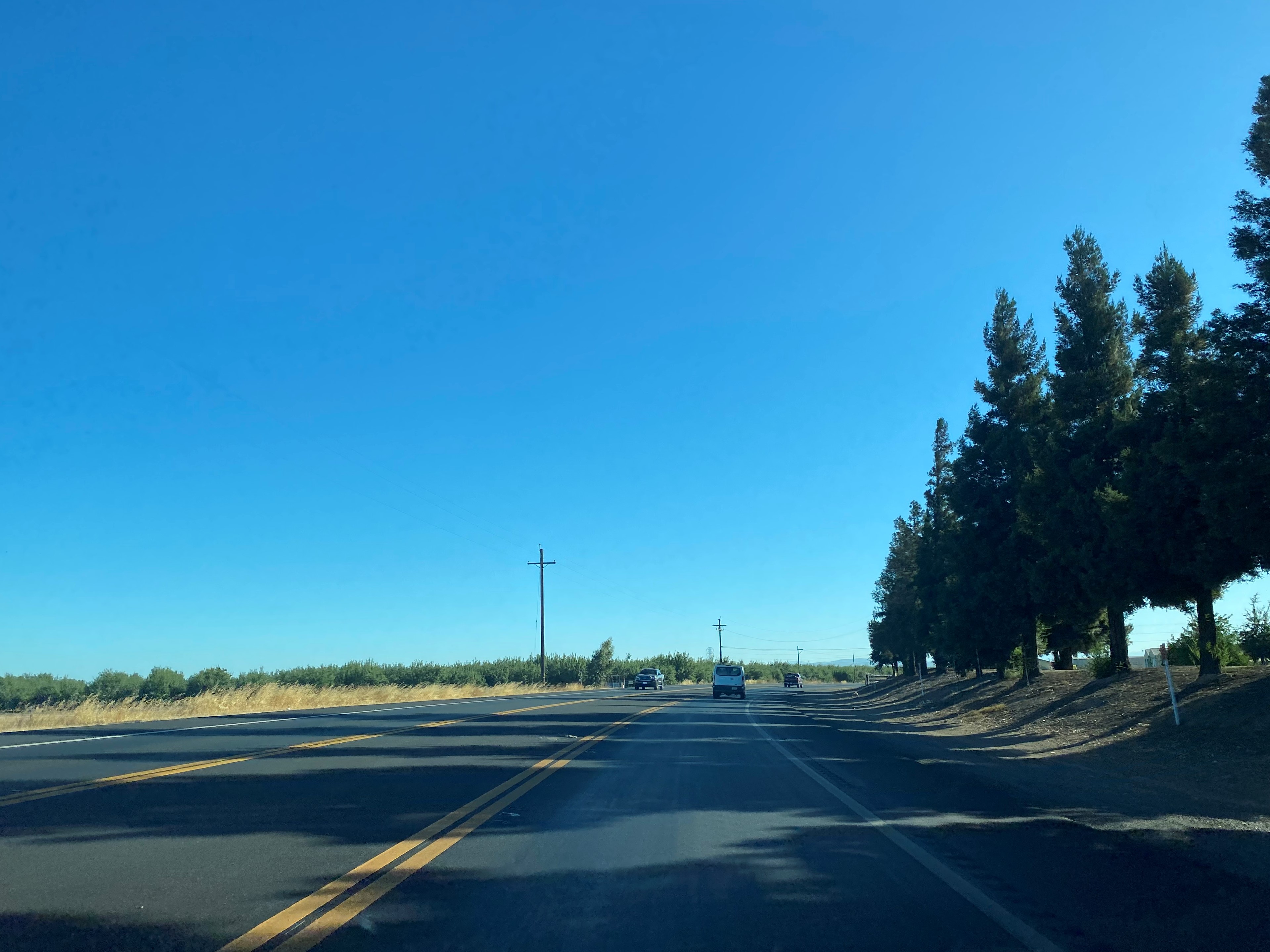
County Route J14 north of the Tuolumne River follows Geer Road to California State Route 132 at Yosemite Boulevard. North of California State Route 132 the alignment of County Route J14 transitions onto Albers Road.
North of California State Route 132 traffic can access the Dry Creek Viaduct from County Route J14. The
Dry Creek Viaduct is an irrigation canal bridge which features a 636 foot long open-spandrel arch design. The year of construction for the Dry Creek Viaduct is unclear.
County Route J14 northbound follows Albers Road towards the Oakdale city limit. At Oakdale-Waterford Highway County Route J14 northbound picks up County Route J9 northbound.
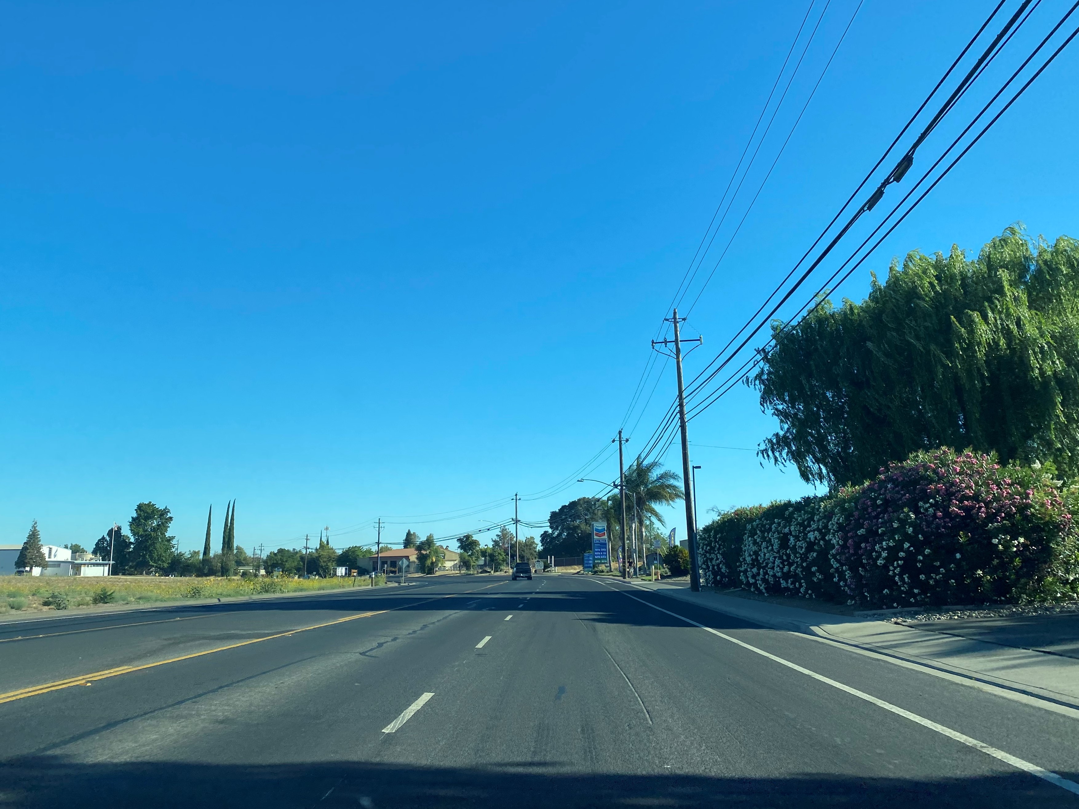
County Route J14/J9 northbound transition from Albers Road onto Yosemite Avenue upon entering Oakdale. County Route J14/J9 follows Yosemite Avenue to California State Route 120/108 at F Street in downtown Oakdale.
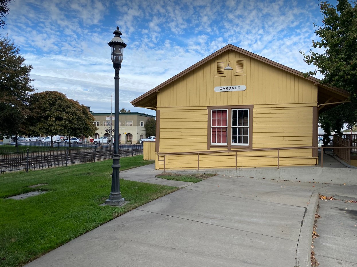
Oakdale was founded in 1871 as a rail siding when Stockton & Visalia Railroad met the Stockton & Copperopolis Railroad. The original railroad depot in Oakdale was constructed in 1871 and eventually burned. The replacement Oakdale Railroad Depot was constructed in 1897 at what is now F Street and Sierra Avenue. The town site of Oakdale was centrally plotted around the 1897 depot during 1904. Oakdale would go on to incorporate as a city on November 24, 1906. The 1897 Oakdale Railroad Depot no longer serves passengers but acts as the Oakdale Cowboy Museum.
County Route J14/J9 northbound pick-up a multiplex of California State Route 120 westbound on Yosemite Avenue. The multiplex of County Routes J14/J9 and California State Route 120 continue north on Yosemite Avenue over the Stanislaus River.
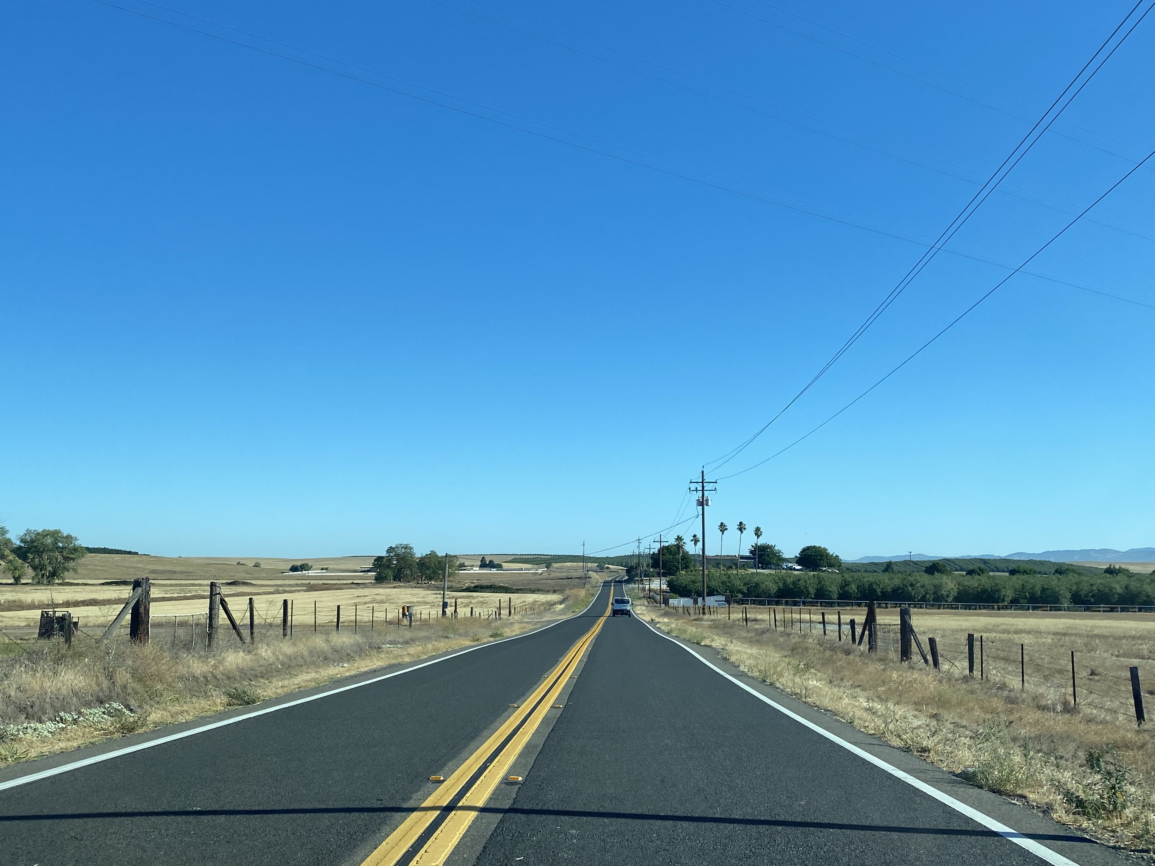
County Route J14 northbound splits from County Route J9 and California State Route 120 at 26 Mile Road.
County Route J14 northbound on 26 Mile Road passes by the
Woodward Reservoir. The Woodward Reservoir was completed during 1917 as part of the South San Joaquin Irrigation District. The Woodward Reservoir holds a maximum of 36,000-acre feet of water and is named in honor of Walter J. Woodward.
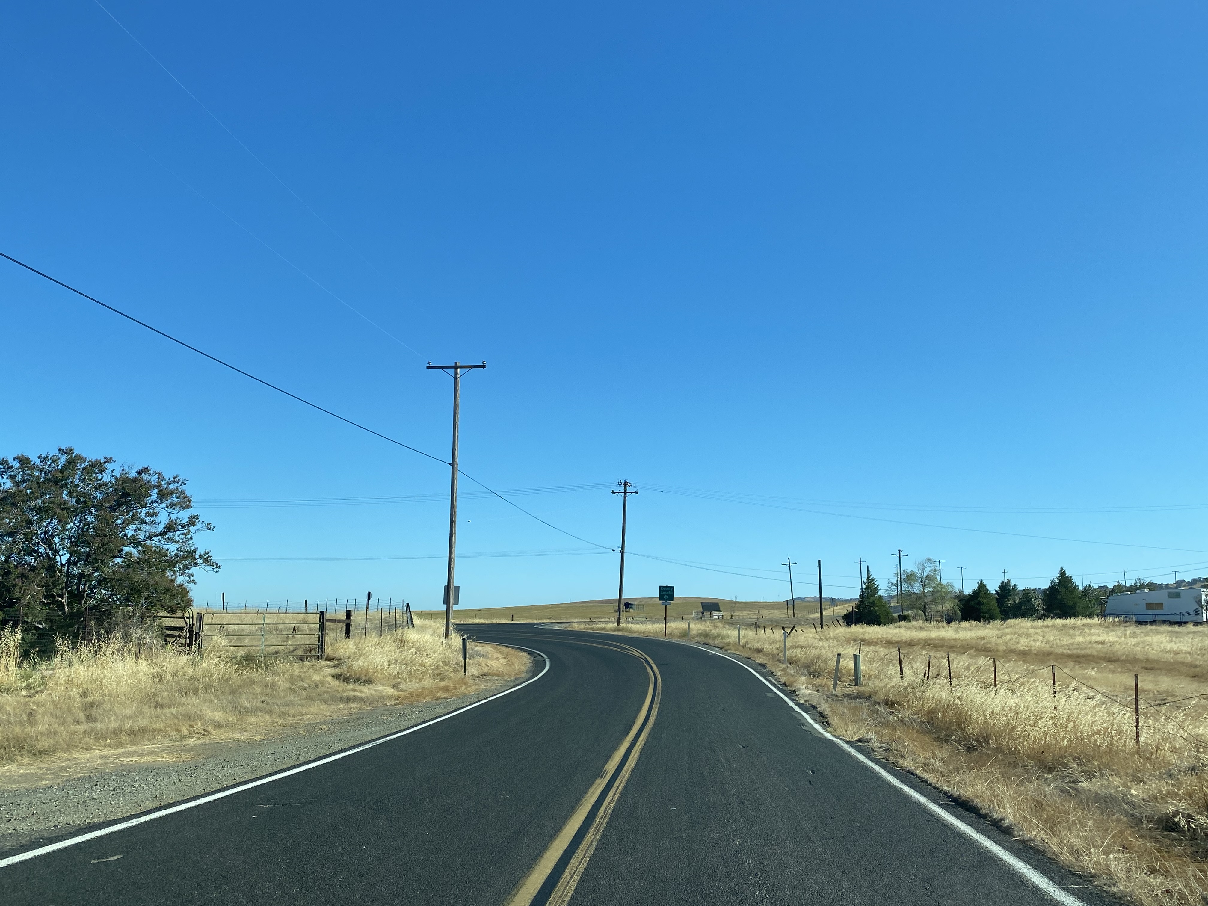
North of Woodward Reservoir County Route J14 briefly joins Sonora Road and transitions to Milton Road.
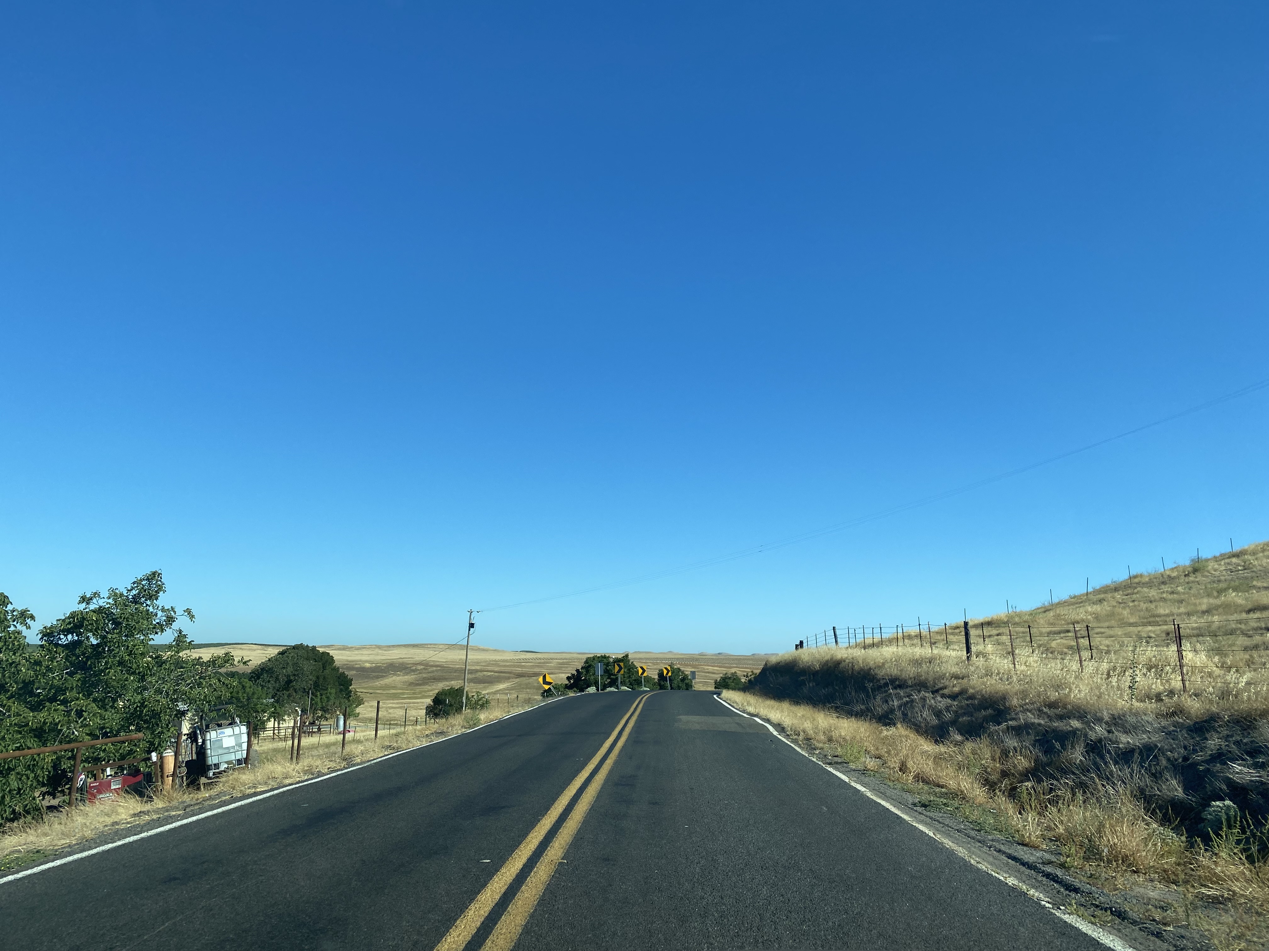
County Route J14 follows Milton Road northward and intersects California State Route 4.
County Route J14 follows Milton Road north of California State Route 4 to the Calaveras County Line.
County Route J14 continues to follow Milton Road northward into the community of Milton and intersects Rock Creek Road.
Milton was the terminus of the
Stockton & Copperopolis Railroad which was completed during 1871 and was the first railroad line in Calaveras County. From Milton stages would depart via Rock Creek Road to reach Copperopolis. The Stockton & Copperopolis Railroad operated as its own entity until 1874 when it was leased to the Central Pacific Railroad. The Stockton & Copperopolis Railroad was acquired by the Central Pacific in 1885 and was consolidated into the Southern Pacific Railroad in 1888. The Stockton & Copperopolis Railroad would be abandoned by
1940 which would lead to a decline in Milton. Post Office service in Milton closed in 1941 and the community has become a near ghost town.
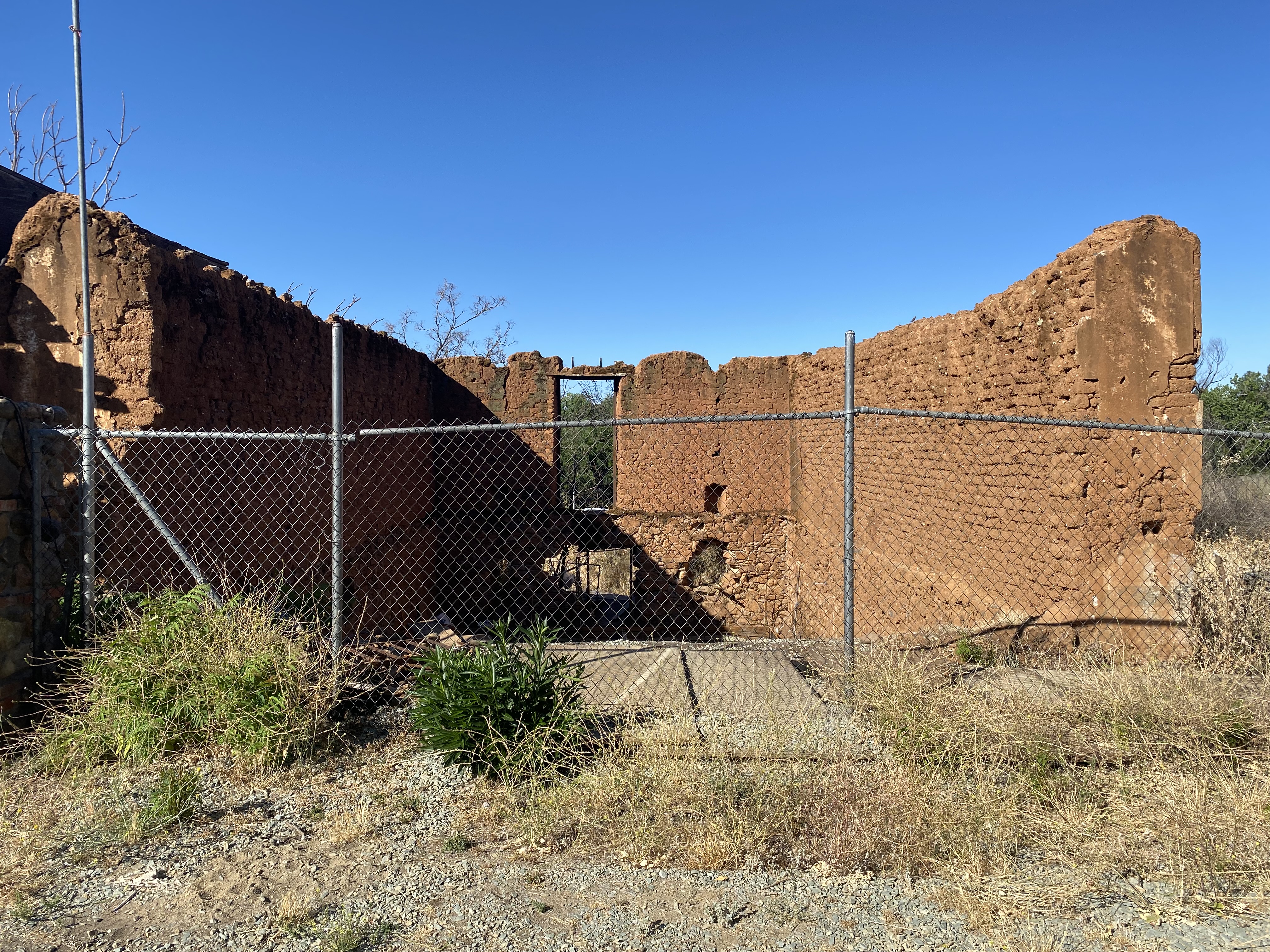
The site of the Keystone Lodge can be found at County Route J14/Milton Road and Green Street at what was once the terminus of the Stockton & Copperopolis Railroad. The Keystone Lodge was built in during the copper boom in Copperopolis during 1862 and was moved to Milton in 1881. It is unclear when the Keystone Lodge disappeared given the plaque discussing the history of the structure was erected during 1962.
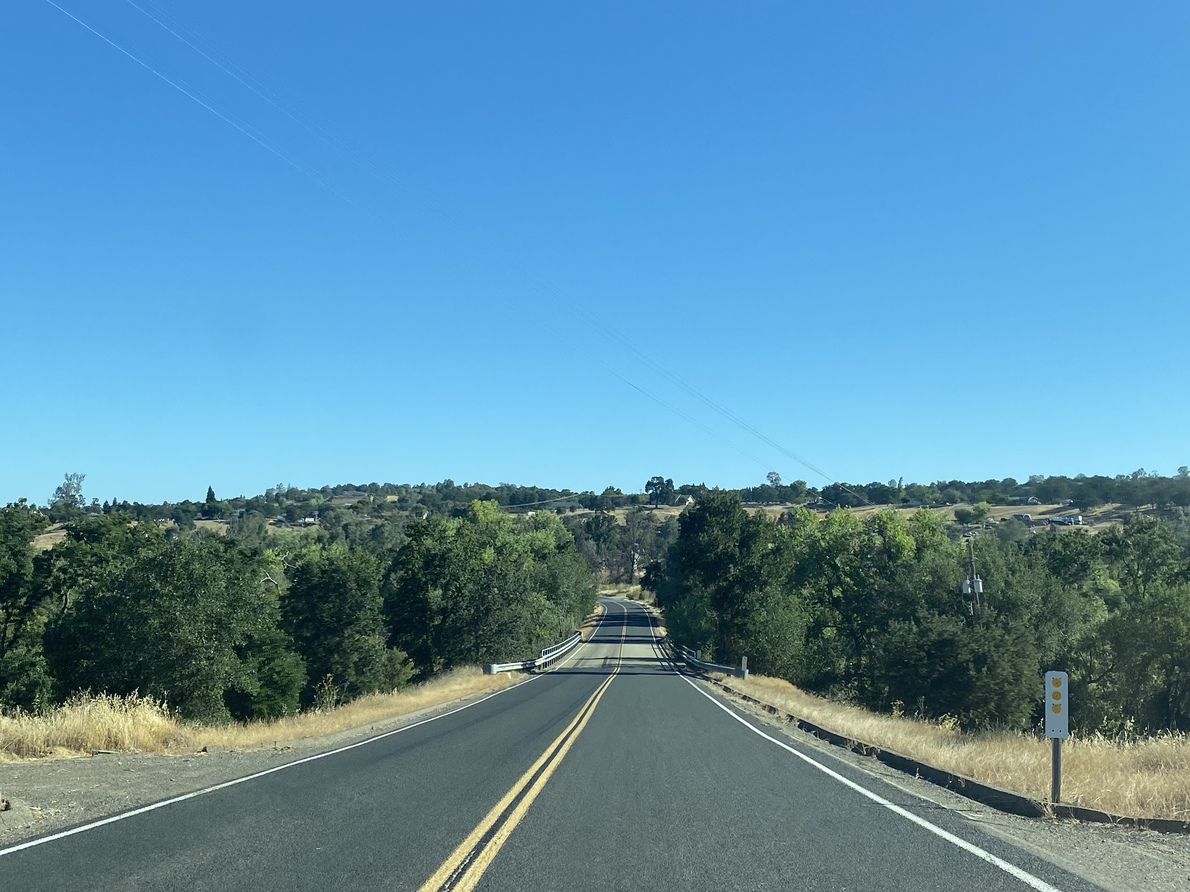
From Milton County Route J14 follows Milton Road north and crosses the Calaveras River near Jenny Lind.
The current bridge carrying County Route J14 over the Calaveras River was constructed during 1979. Originally County Route J14 crossed the Calaveras River via the Jenny Lind Bridge via Main Street. Jenny Lind was founded in 1849 as a placer mining community along the northern banks of the Calaveras River. Jenny Lind contains numerous historic structures along Main Street which date back to the California Gold Rush.
The 1930s Jenny Lind Bridge can be found beyond the private property fenced portion of Main Street in Jenny Lind and used to be accessible to the public. It is unclear why the trail to the 1930s Jenny Bridge closed, but a photo can be viewed on bridgehunter.com
here.
From Main Street in Jenny Lind County Route J14 follows Jenny Lind Road north to a terminus at California State Route 26.


Comments