

This page is part of the Gribblenation Hawaii Roads series. A compellation of all Hawaii-related media from both Gribblenation and RoadwayWiz can be found by clicking here.

Part 1; the history of Hana Highway
The community of Hana is located on the remote eastern side of Maui. Traditionally the Hana area has been isolated from the rest of Maui by the extreme geography of eastern half of the island. The Hana area is thought to have been settled by the Polynesians sometime between 500-800 AD.
During November 2015 the Hawaii Department of Transportation (HDOT) published a report on the historic bridges of Hana Highway Millenium Legacy Trail corridor (alternatively known as the Hana Belt Road Historic District). During the 16th Century a 138-mile belt road known as the King's Highway was constructed around the island perimeter under the direction Maui King Kiha-a-Piilani. King's Highway was the paved with hand fitted lava rocks and was the first perimeter road on any Hawaiian Island. King's Highway was four to six feet wide and was intended to facilitate rapid foot travel around Maui.
The earliest segment of what would become Hana Highway would follow Hamakau Ditch from central Maui to the eastern Maui rainforest. The so-called EMI Ditch Road was constructed alongside Hamakau Ditch over 15 miles and was completed by 1878. Hamakau Ditch provided water from the eastern rainforest of Maui to the plantations in the island's center. EMI Ditch Road was popular with visitors returning from the summit of Haleakala via a trail from Hana and Nahiku.

During 1849 George Wilfong opened a sugar cane mill in Hana after King Kalakaua entered into an agreement to import sugar to the United States duty free. By 1883 there was six sugar plantations in the Hana area which led to a population boom. Travel to Hana at the time from the rest of Maui was largely by boat given the existing King's Highway only served traffic by foot or horse.
The Maui Board of Supervisors first suggested a Hana Belt Road (Hana Highway) during 1895. The first newspaper account suggesting construction of a highway to Hana dates to 1900 when such calls appeared in the Maui News. The Maui News argued for a highway to be constructed to Hana and Kipahulu which would make it possible for the farms of eastern Maui to reach markets in the island interior. The Maui News argued for a 16-foot-wide highway and proposed a revenue source.

During 1900 a wagon road connecting from Nahiku west to Keanae which would later be incorporated into Hana Highway was completed. The Nahiku-Keanae Road was constructed by the Nahiku Rubber Company permit easier access to their facilities. Nahiku-Keanae Road was noted in a 1905 Superintendent of Public of Works report to be primitive in nature and was very narrow due to the limited funds which were available during its construction.

During 1900 the Maui Board of Supervisors sought funding for construction of the Hana Highway. By 1908 several bridges had been constructed along Hana Highway, but funding sources were scarce on the Maui County level. Maui residents sought additional revenue sources to construct Hana Highway as a roadway worthy of permitting automotive travel.

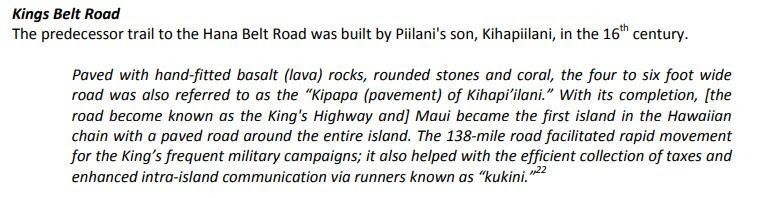
The bridges below highlighted in red were constructed along Hana Highway in the 1908-1912 era. Prior to 1908 most bridges constructed along Hana Highway were timber designs. During 1908 the Mokelehua Stream Bridge (Bridge #40) was constructed as the first concrete span on Hana Highway.


The below bridges highlighted in red were constructed on Hana Highway during the 1917-1922 era. During the World War I era much of the funding for road construction on Hana Highway had been shifted towards Macadam surfacing of the existing segment from Kailua west towards central Maui.


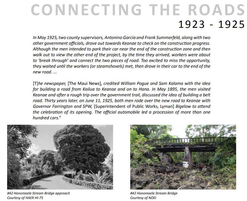
The below bridges highlighted in red were completed along Hana Highway during the 1923-1925 era. The 1923-1925 era of construction along Hana Highway was heavily oriented towards completing the Kailua-Keanae and Keanae-Wailuaki corridors. An automotive procession to Keanae was led by Hawaii Territory Governor Farrington and the Superintendent of Public Works on June 11, 1925. This automotive procession dedicated the opening of the then new section of Hana Highway.


The bridges highlighted in red below maps were constructed during 1926. The last major structure standing as an obstruction from completing Hana Highway to Hana itself was the Waikani Stream Bridge (Bridge #16). Hana Highway was opened to Hana on December 18, 1926, following a procession of 200 cars. Hana Highway was not initially paved all the way to Hana as originally planned and the roadway was only 16 feet wide as opposed to the planned 20 feet.


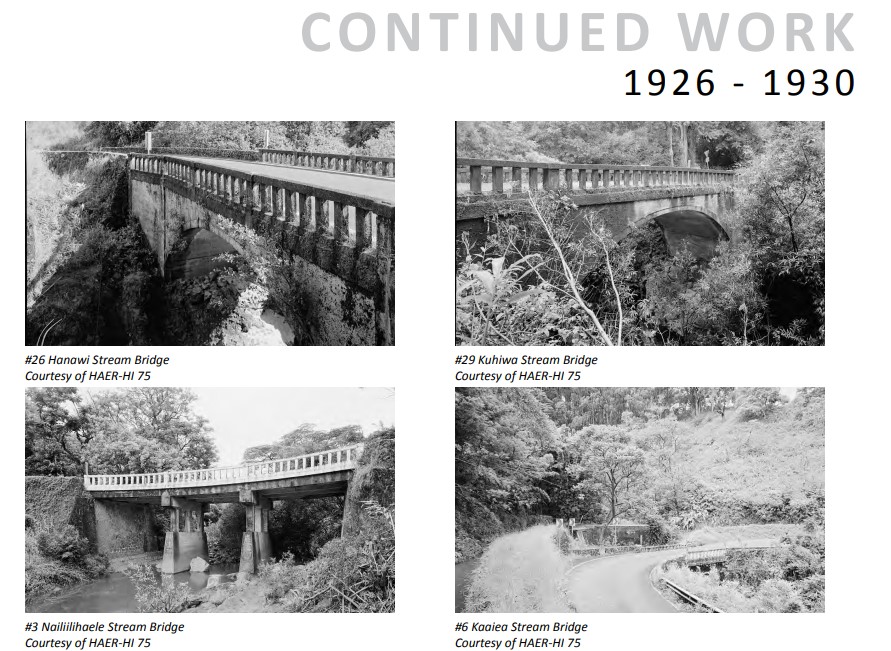
The below bridges highlighted in red were constructed during the 1926-1930 era after the opening of Hana Highway to Hana. Most of the 1926-1930 era bridges were replacements for earlier substandard bridges on Hana Highway or were not completely finished by December 1926.


The only post-World War II era bridge on Hana Highway is Kawaipapa Stream Bridge (Bridge #43) which was constructed during 1947. The Kawaipapa Stream Bridge was expanded during 1991 which made it ineligible for inclusion Hana Highway Millenium Legacy Trail Historic District when it designated during 2001.


Hana Highway and the Island of Maui seemingly were not part of the original World War II era Hawaii Route System. Circa 1955 following the conclusion of World War II the United States Bureau of Public Roads renumbered the Hawaii Route System. The 1955 Hawaii Route Renumbering saw most of the conventions utilized by the current Hawaii State Route System established. Primary Hawaii Routes were given two-digit numbers whereas Secondary Hawaii Routes were given three-digit numbers. The Hawaii Routes were assigned in sequence for what Island/County they were located on coupled with what Federal Aid Program number they were tied to. In the case of the Island of Maui it was assigned numbers in the range of 30-40.
Hana Highway between Kahului and Keawa Place in Hana was assigned as Hawaii Route 36. The remainder of Hana Highway towards Kalepa Gulch and Piilani Highway was assigned as Hawaii Route 31. Initially only the segment of Hana Highway from Kahulei east to Hawaii Route 40 (now Maui County Route 365) was maintained by Hawaii Territory. The remainder of Hana Highway from Hawaii Route 40 east to Kalepa Gulch remained under Maui County maintenance. The initial 1955 Hawaii Route network on Maui can be viewed on the 1959 Gousha Road Map of Hawaii.

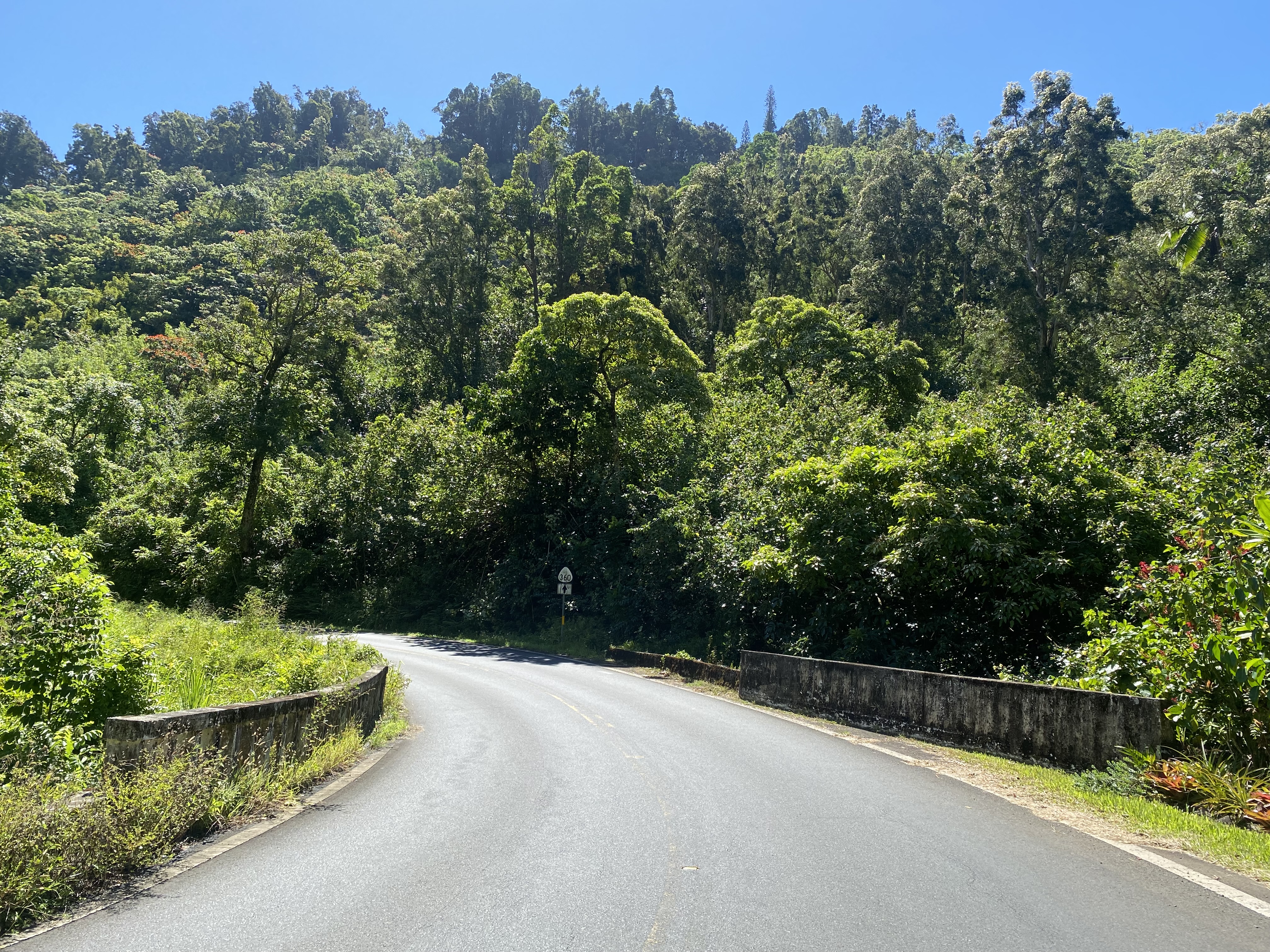
On August 21st, 1959, Hawaii became the 50th State. By 1962 the entirety of Hana Highway was fully paved. During the 1960s the State Routes and County Routes were split into separate entities but maintained the same highway reassurance shield. According to hawaiihighways.com during 1969 the State of Hawaii acquired Hana Highway between Maui County Route 365 east to Keawe Place in Hana as part of Hawaii Route 360. The reminder of Hana Highway from Keawe Place to Kalepa Gulch was never added to the State inventory and today remains part of Maui County Route 31.
On June 15, 2001, Hana Highway/Hawaii Route 360 from Maui County Route 365 east to Kawaipapa Stream was added to the National Register of Historic Places and designated Hana Highway Millenium Legacy Trail. The Hana Highway Millenium Legacy Trail corridor applies to 42 historic bridges, 1 historically contributing bridge, 45 culverts and 7 hillside bridges.

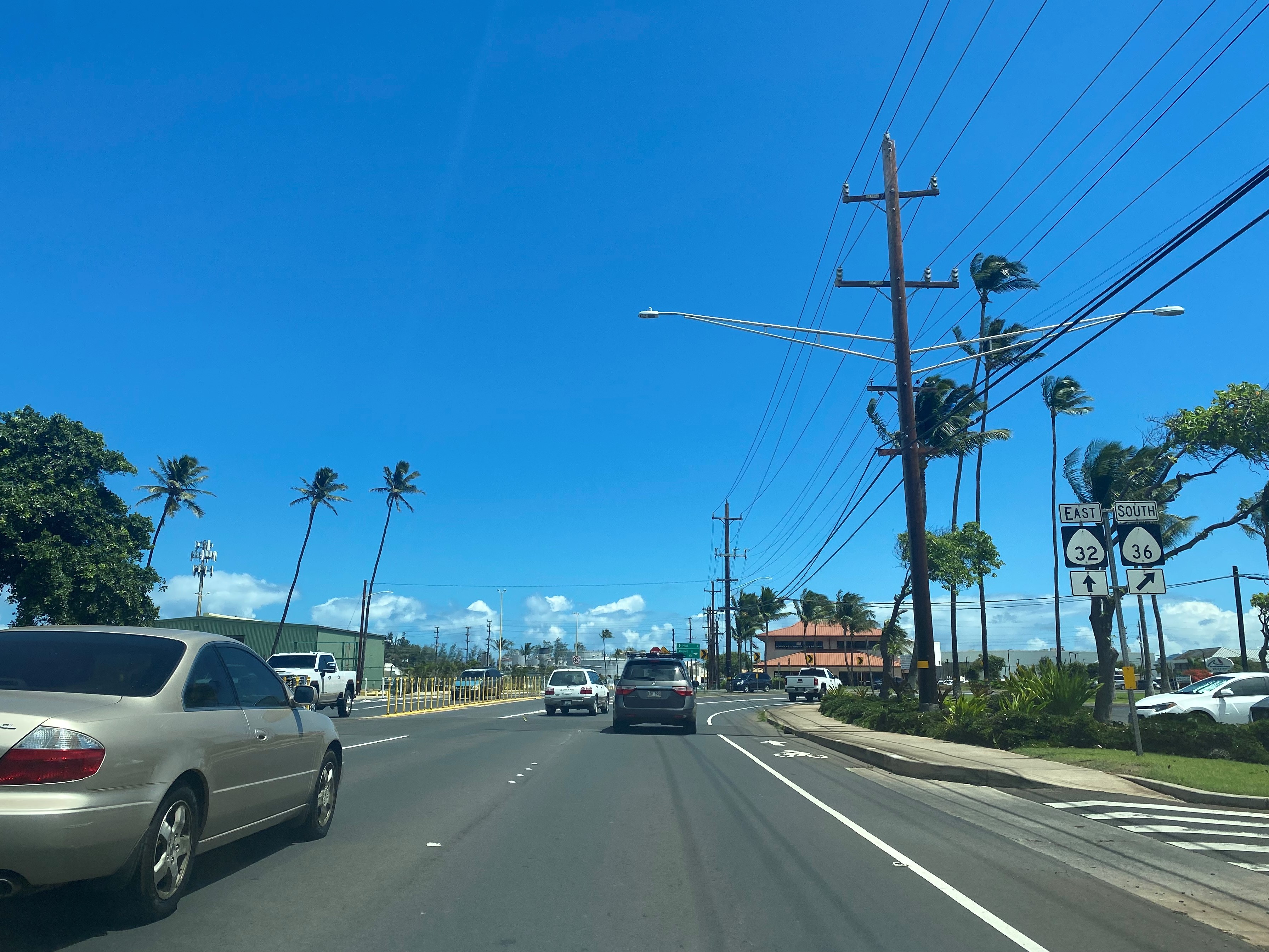
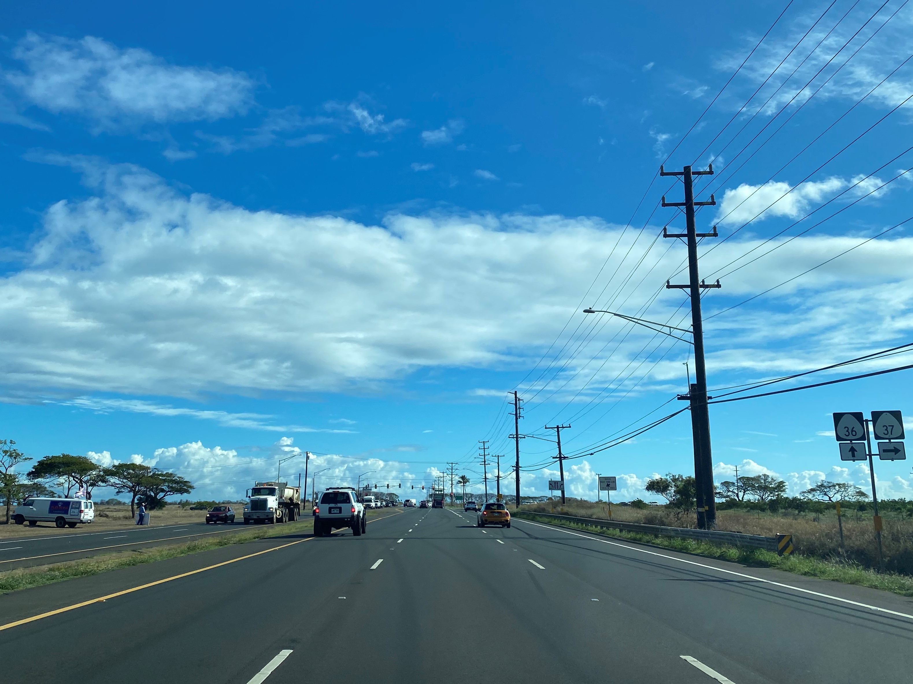
Hana Highway eastbound begins in Kahului as Hawaii Route 36 starts via a branch from eastbound Hawaii Route 32/Kaahumanu Avenue. Hana is signed as being 51 miles away as Hana Highway and Hawaii Route 36 begin. The next 16.2 miles of miles of Hana Highway to Maui County Route 365 are carried by Hawaii Route 36.
Hana Highway/Hawaii Route 36 eastbound intersect Hawaii Route 36A at a disconnected segment of Haleakala Highway in Kahului. Despite appearing to be an alternate routing, Hawaii Route 36A is aligned towards Kahului Airport and does not reconnect with Hawaii Route 36.

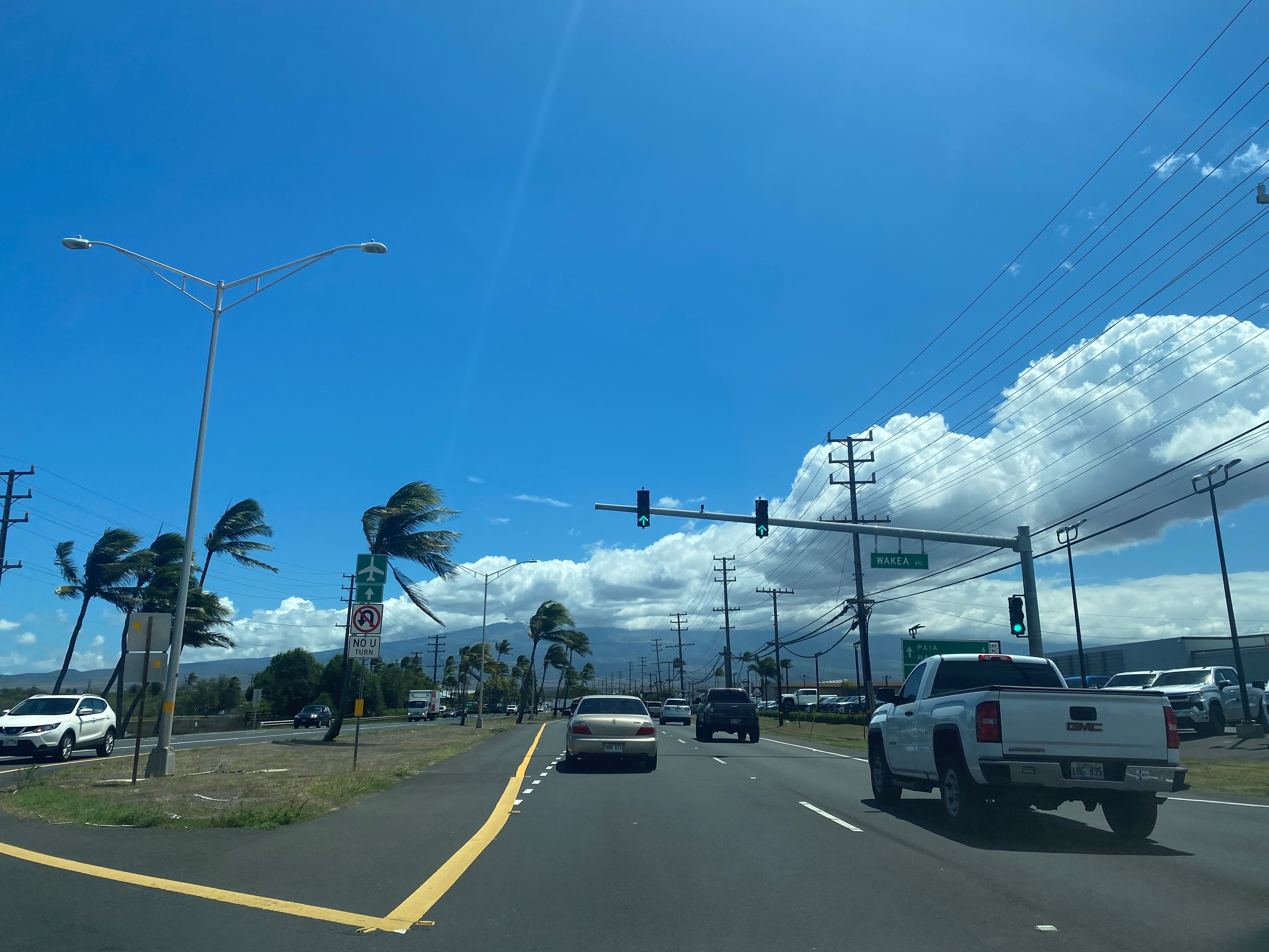

Hana Highway/Hawaii Route 36 eastbound continues through Kahului and intersect Hawaii Route 380 at Dairy Road.

East of Dairy Road, Hana Highway/Hawaii Route 36 continues through Kahului and intersects Hawaii Route 3800 at Mayor Elmer F. Cravalho Way. Hawaii Route 3800 was completed during 2016 and is now the primary access road to Kahului Airport.

Departing Kahului, Hana Highway/Hawaii Route 36 eastbound intersects Hawaii Route 37/Haleakala Highway. Departing Kahului, the community of Hana is signed as 48 miles away on eastbound Hana Highway/Hawaii Route 36.


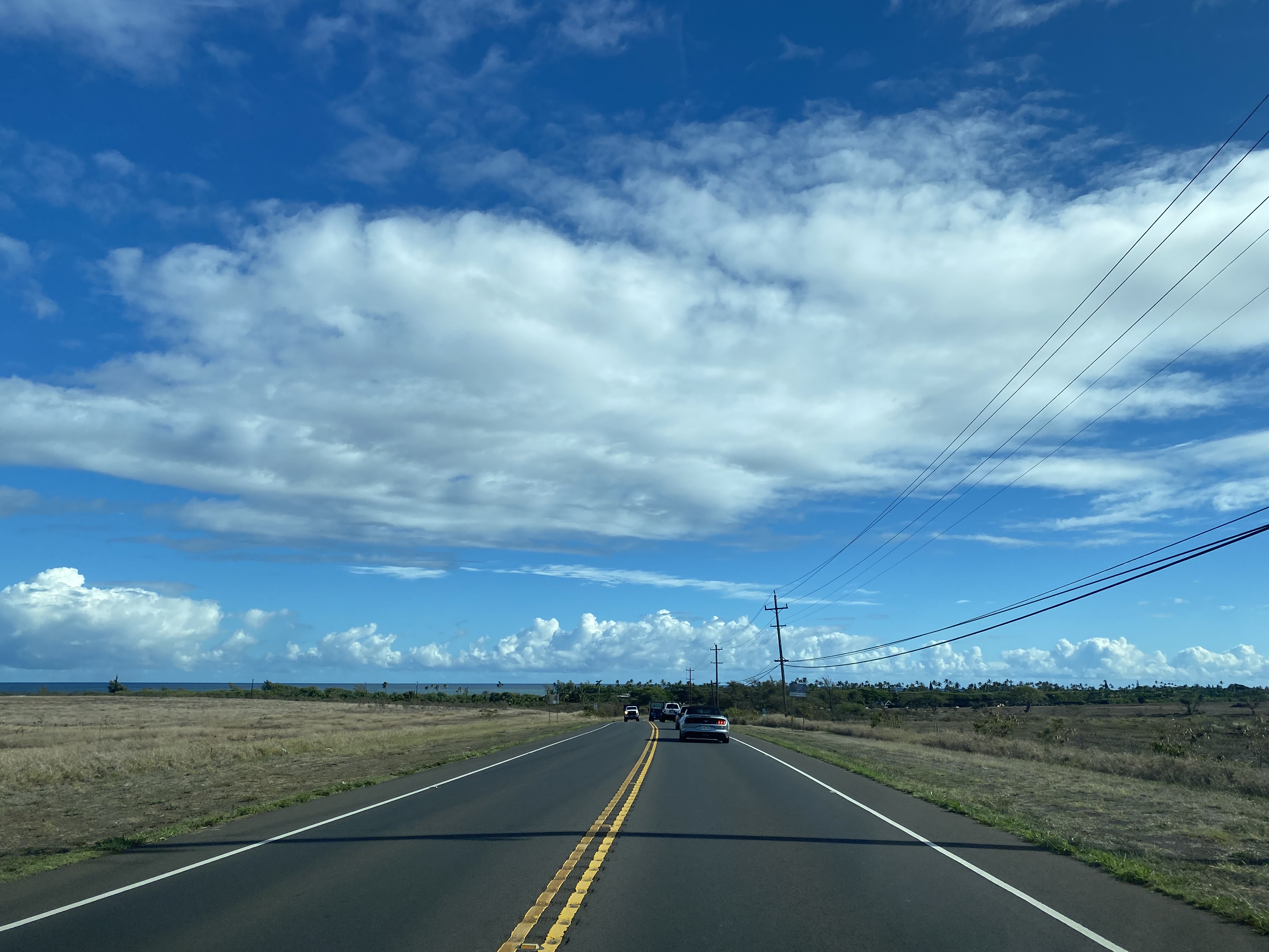
Hana Highway/Hawaii Route 36 eastbound drops to a two-lane highway and passes through the community of Spreckelsville. Spreckelsville was founded during 1878 as a company town of Claus Spreckles and Hawaii Commercial & Sugar Company. Spreckelsville received railroad service from a spur line of the Kahului & Wailuku Railroad 1884. By 1892 Spreckelsville was the site of the largest sugar plantation in the world. Alexander & Baldwin would acquire Spreckelsville during 1898 and gradually sold most of the coastal parcels to private developers.


As Hana Highway/Hawaii Route 36 eastbound approaches downtown Paia it intersects the unsigned and privately owned one-way Hawaii Route 3600 on Paia Mini-Bypass Road. From Hawaii Route 3600, the community of Hana is signed as 45 miles to the east on Hana Highway/Hawaii Route 36.


Hana Highway/Hawaii Route 36 eastbound pass through Paia. Paia was founded in 1880 as the site of a Hawaiian Commercial & Sugar mill and siding of the Kahului Railroad. Hana Highway/Hawaii Route 36 intersects unsigned Maui County Route 390 at Baldwin Avenue.


The first segment of Kahului Railroad between Wailuku and Kahului opened as the Kahului & Wailuku Railroad on July 29, 1879. The Kahului & Wailuku Railroad was purchased by Hawaiian Commerical & Sugar during 1899 and was rebranded as the Kahului Railroad. The Kahului Railroad would be extended to an eventual terminus in Haiku and Kuiaha by February 8, 1913. Overall, the Kahului Railroad operated over a 15-mile-long narrow-gauge alignment between Kahului and Kuiaha. The Kahului Railroad operated until 1959 and was the last public railroad on Maui. The Kahului Railroad along with Hawaiian Commerical & Sugar were purchased by Alexander & Baldwin during 1962. Alexander & Baldwin decommissioned the Kahului Railroad on May 22, 1966.
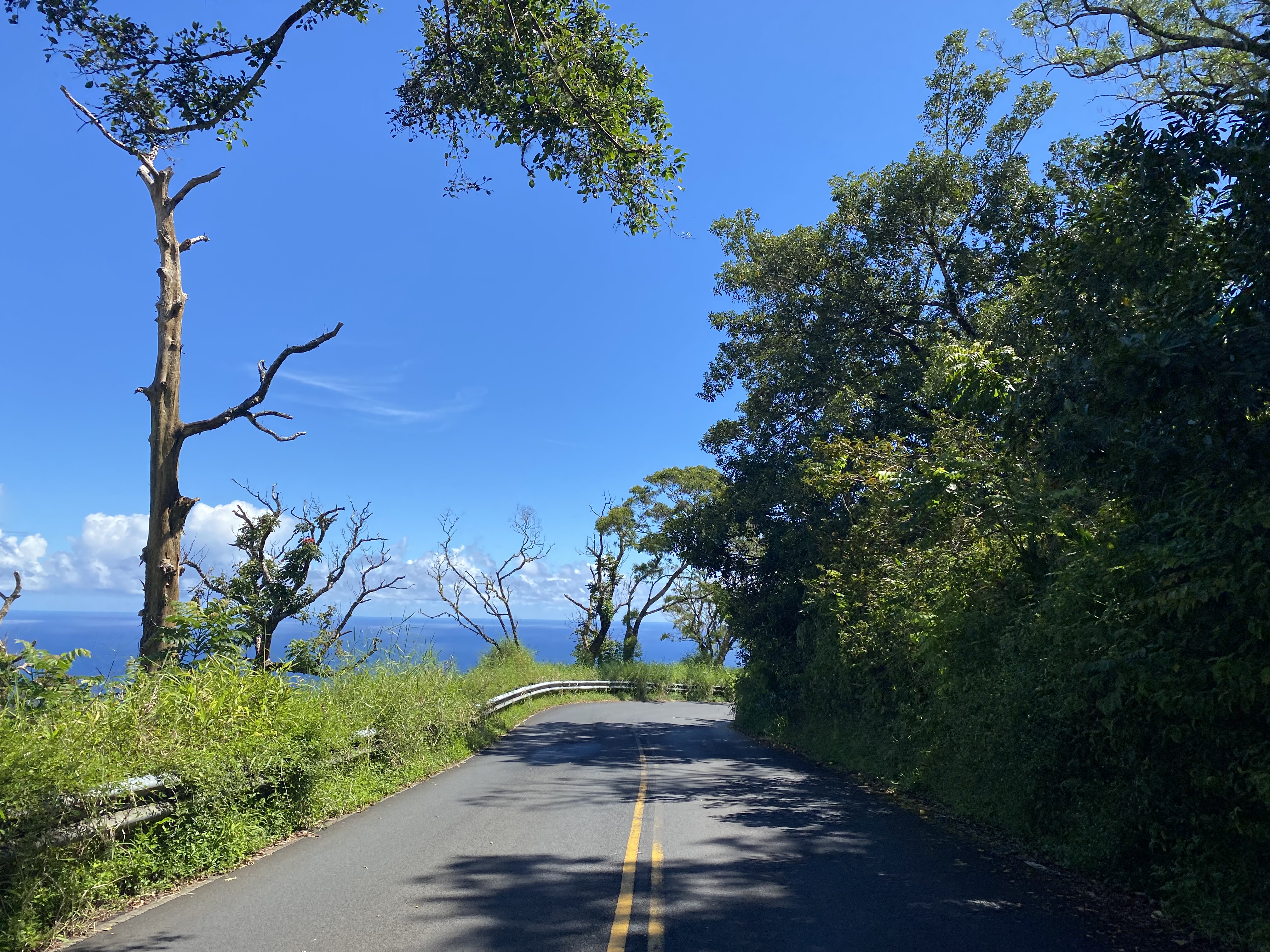
East of Paia, Hana Highway/Hawaii Route 36 rises to a coastal bluff above Hookipa Lookout.


Eastbound Hana Highway/Hawaii Route 36 pass through the consolidated census designated community of Haiku-Pauwela and intersect unsigned Maui County Route 366 at Haiku Road. At Haiku Road the alignment of Hana Highway/Hawaii Route 36 is signed as 39 miles from Hana.


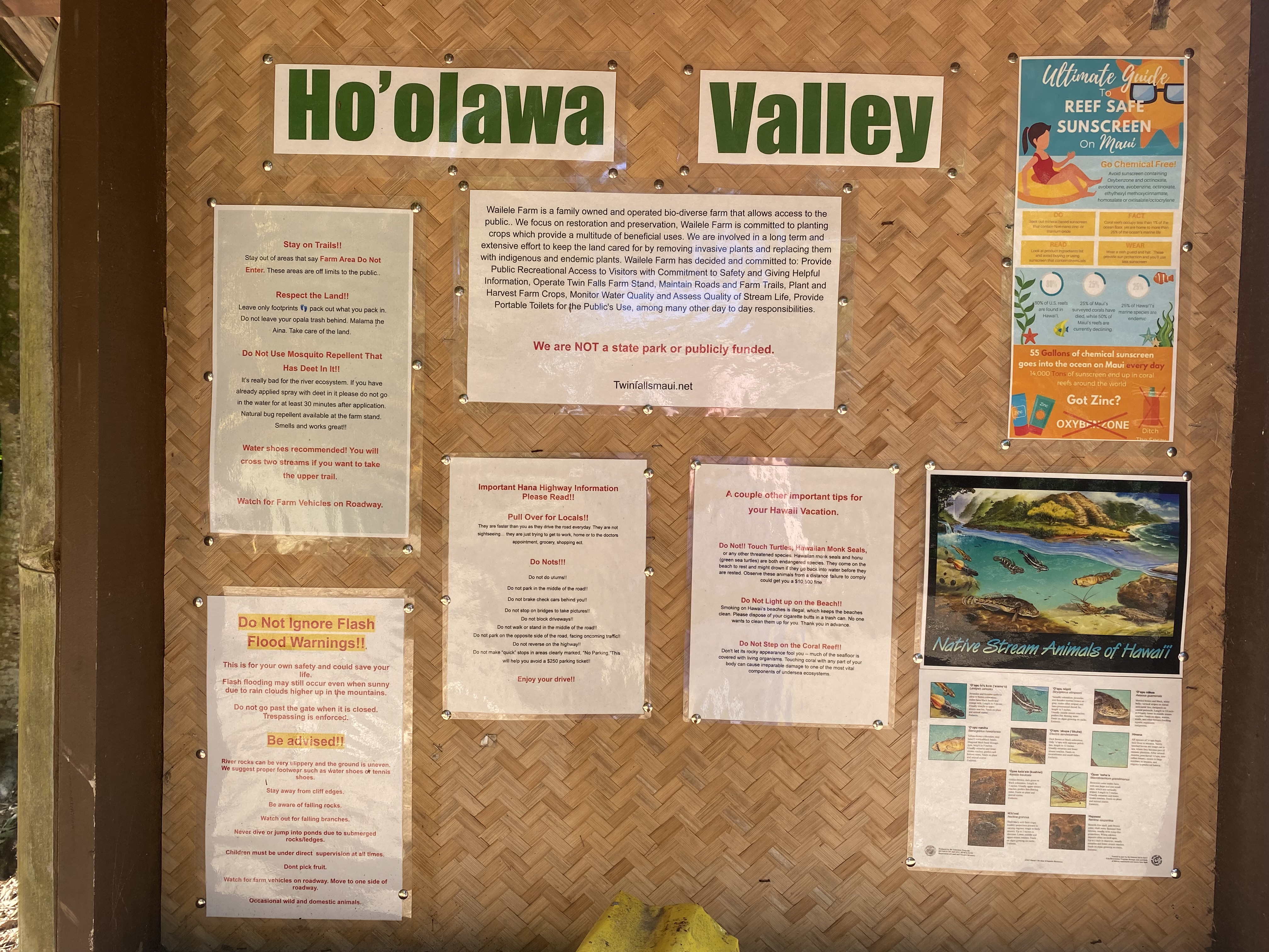
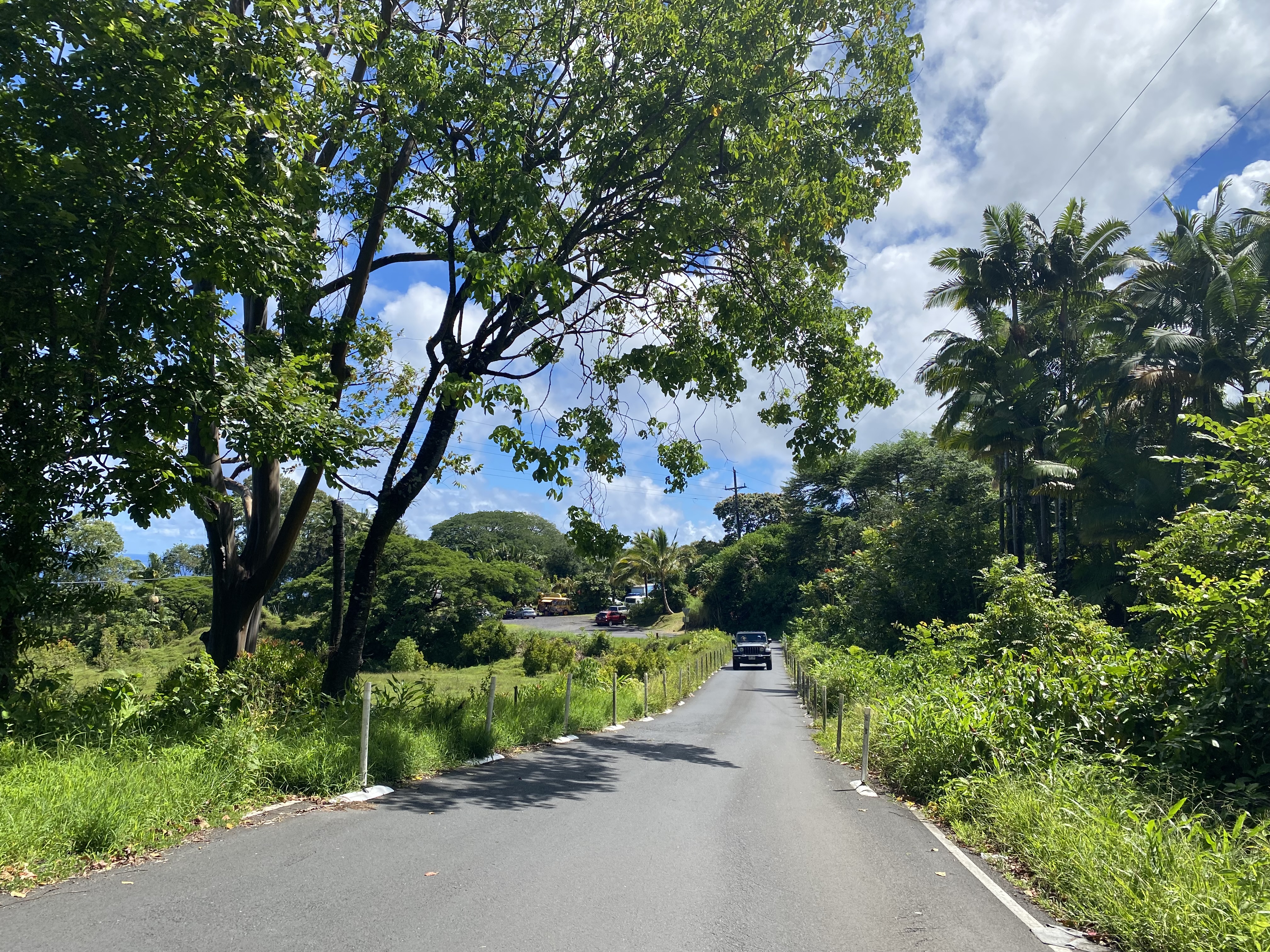
Traffic on Hana Highway/Hawaii Route 360 eastbound passes by the Twin Falls trailhead.


Twin Falls is located in Hoolawa Valley which is privately owned by Wailele Farms. The Twin Falls trailhead has approximately 50 parking spots which are generally managed by someone from Wailele Farms during peak visitation hours.


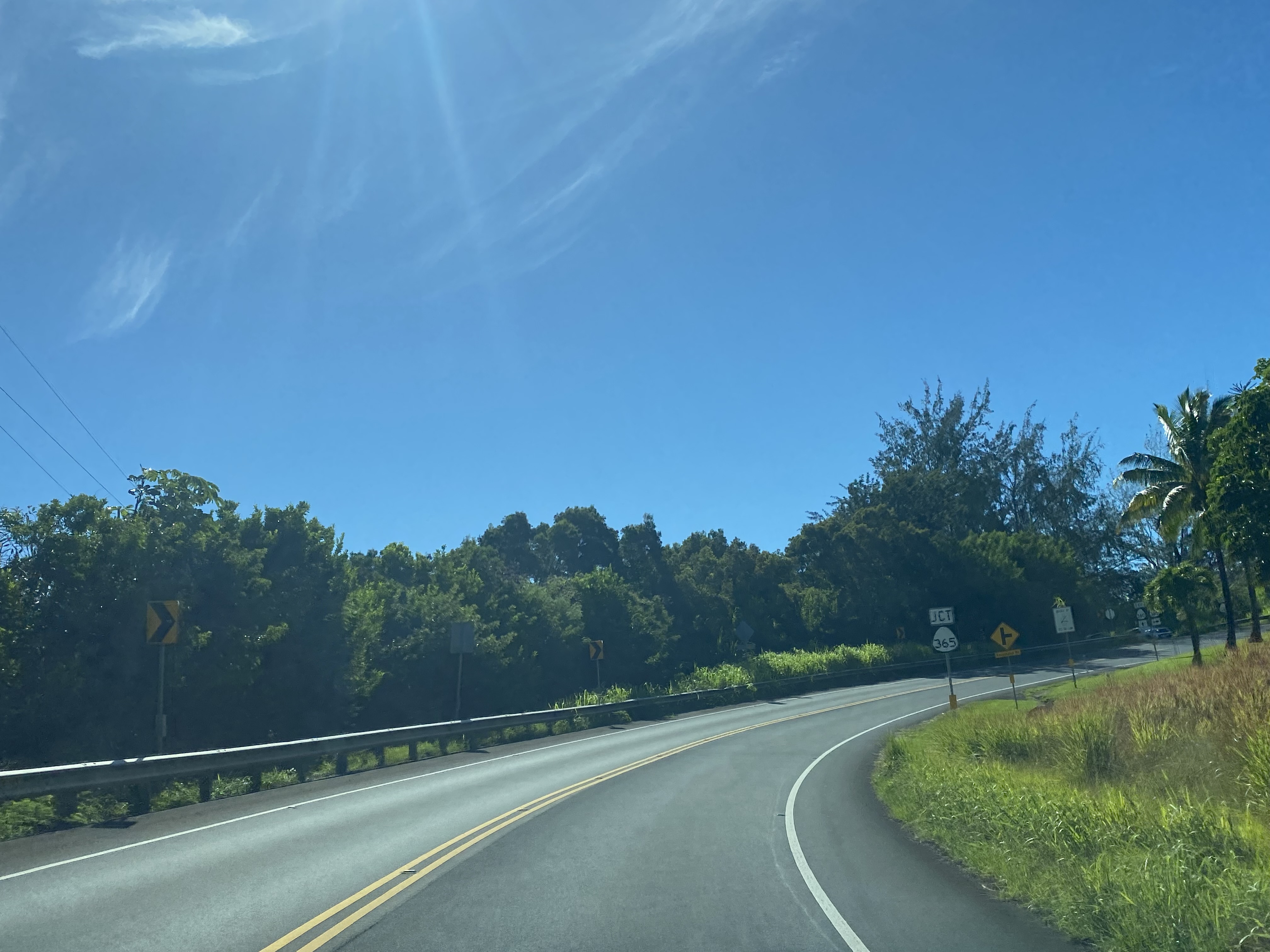
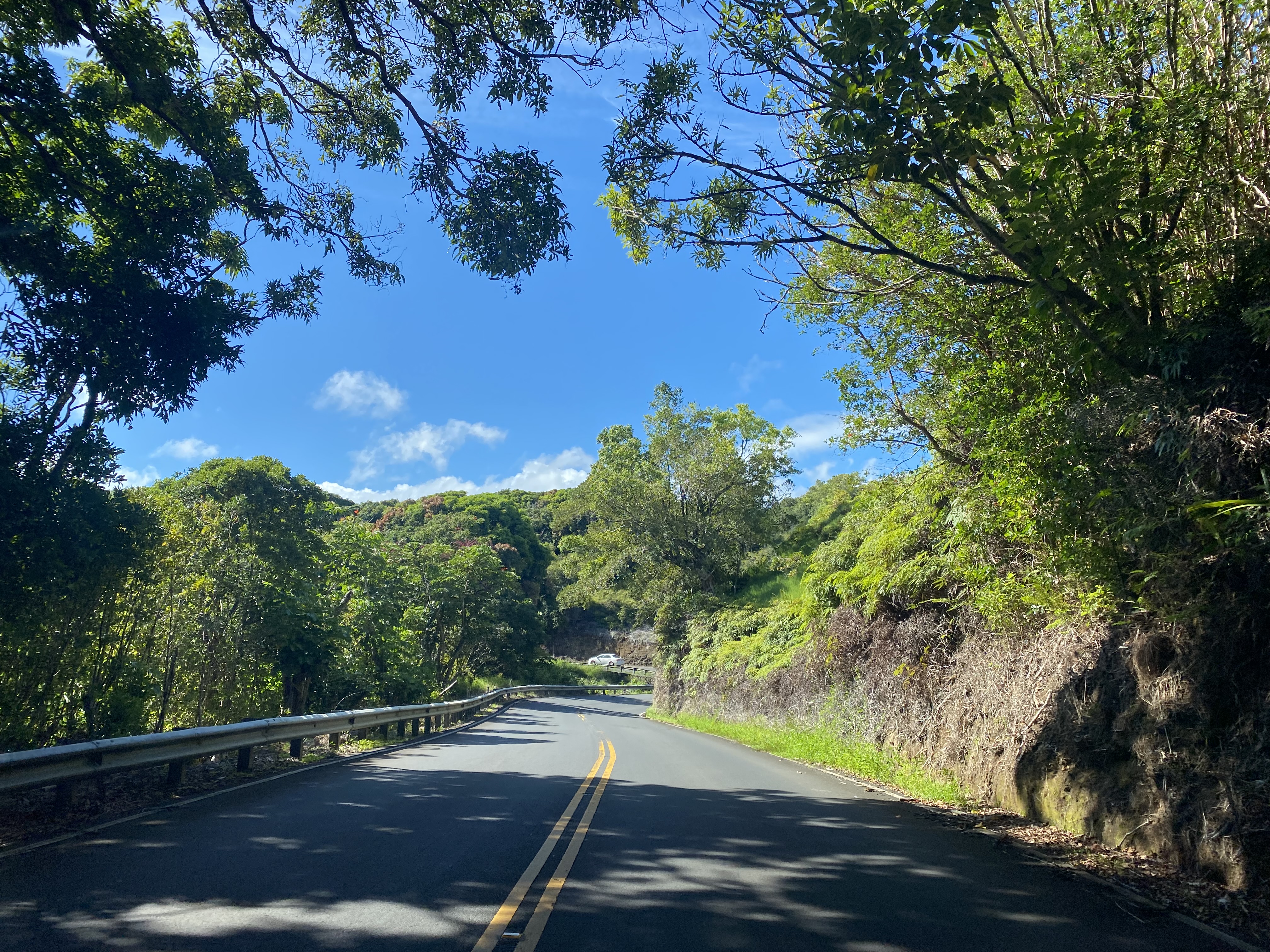
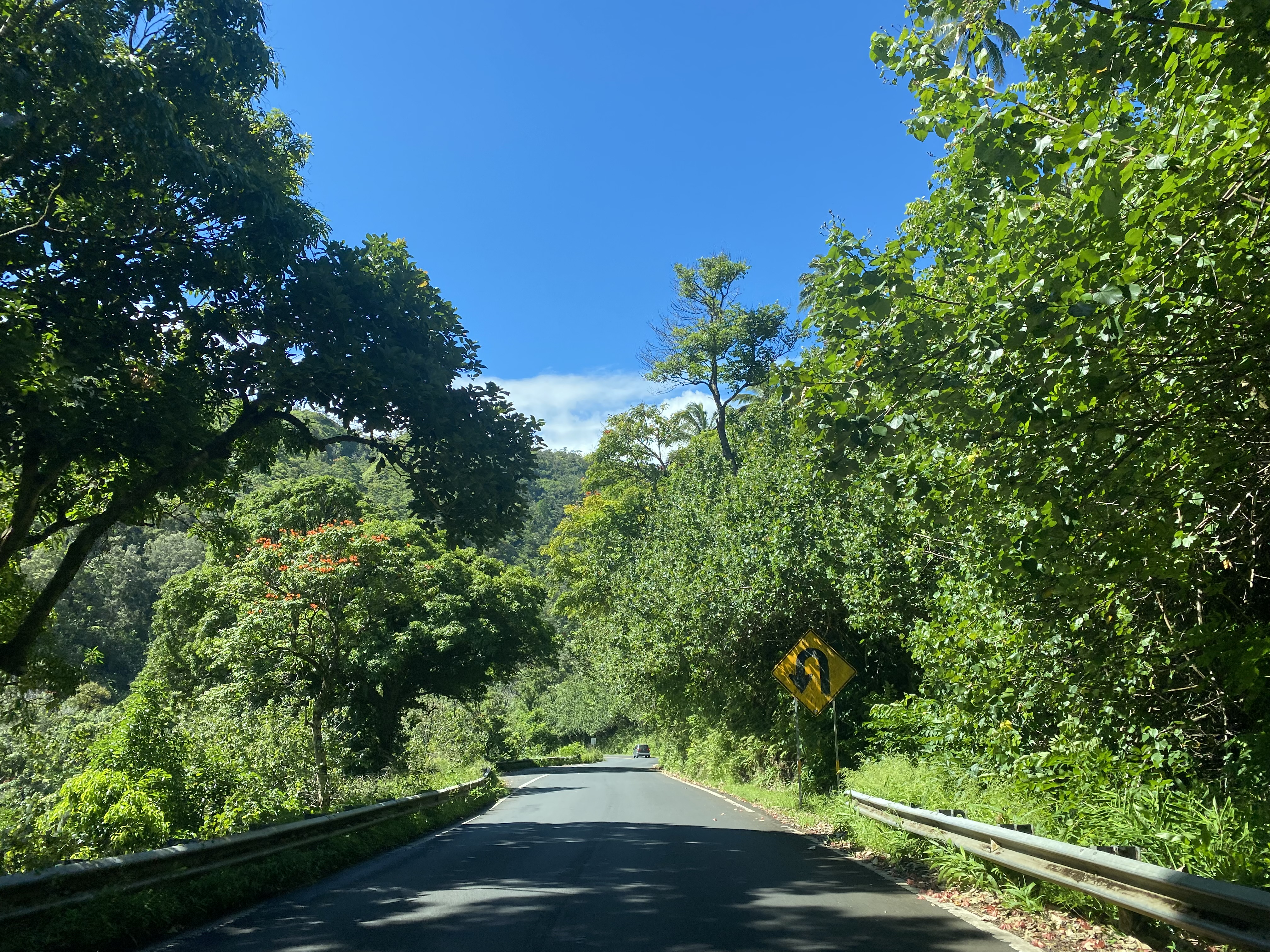
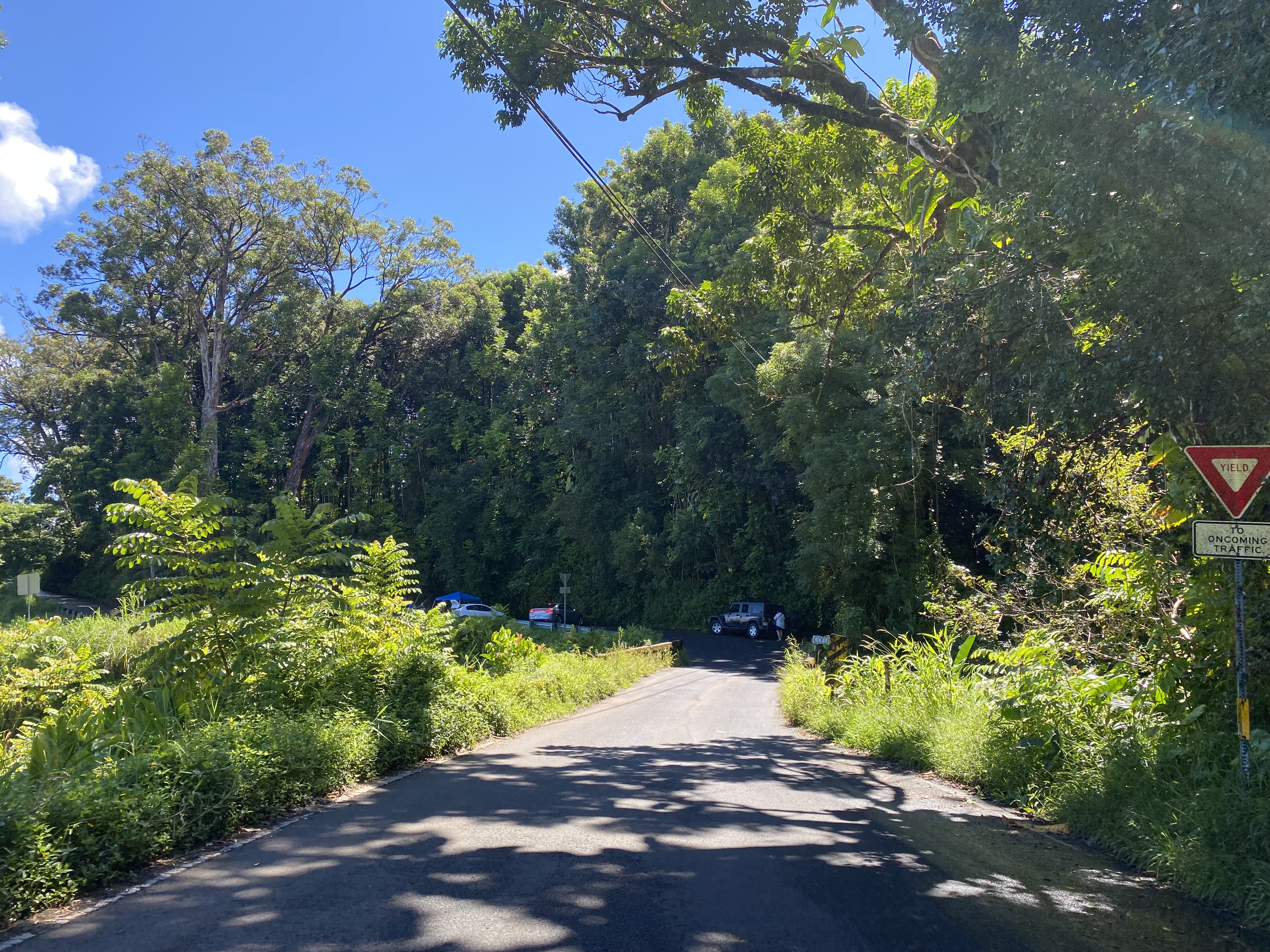
Traffic on Hana Highway/Hawaii Route 360 east of Twin Falls is advised of 20 miles of narrow winding roads ahead and bridge weight limits of 10 tons.


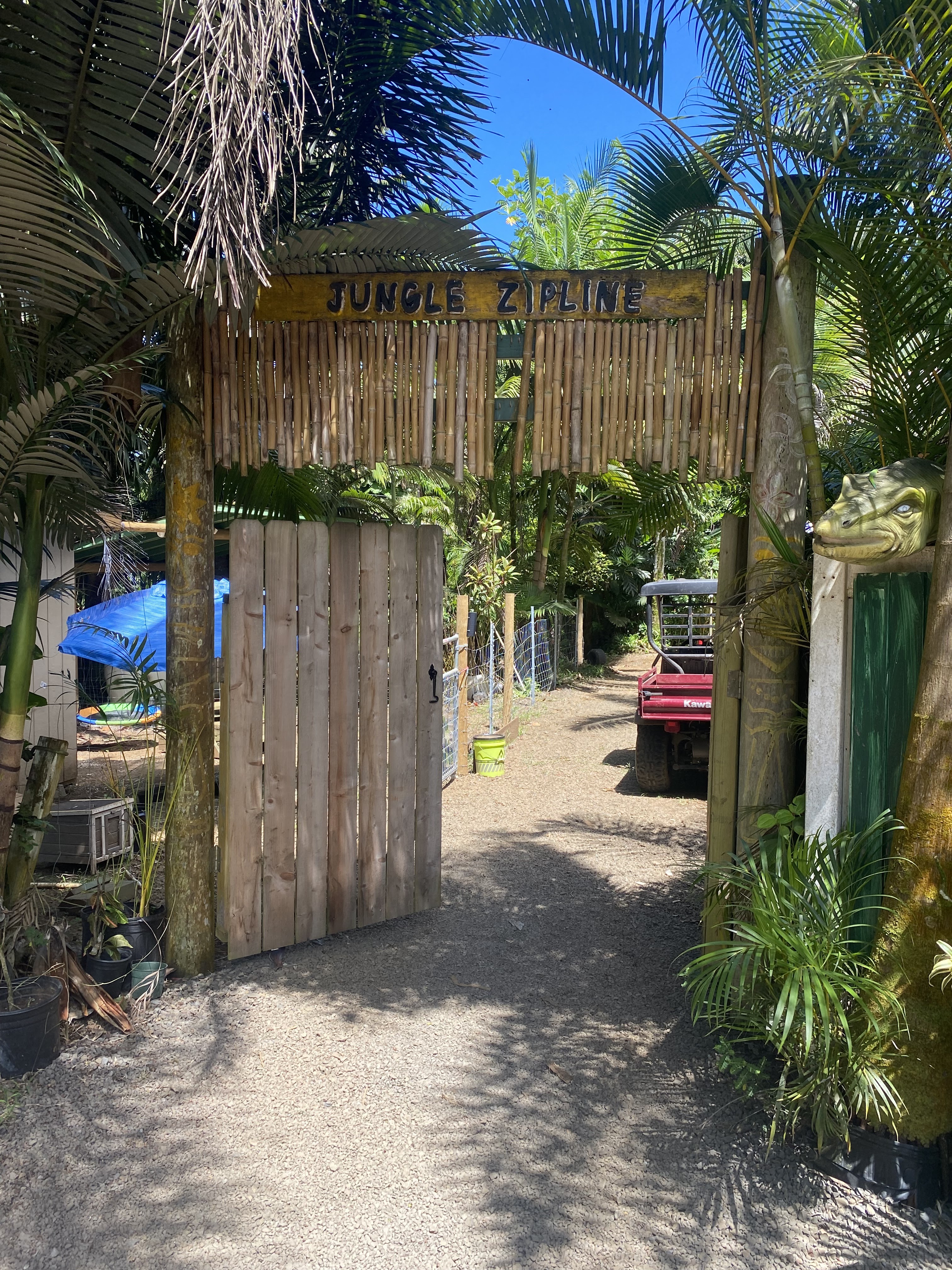
After Hana Highway/Hawaii Route 360 eastbound crosses Waipio Stream it intersects Waipio Road. Jungle Zipline can be found on Waipio Road on privately owned land which are used to propagate native Hawaiian plants.


Hana Highway/Hawaii Route 360 crosses the first preserved structure in the form of the Hoalua Stream Bridge (Bridge #1) at Mile Point 5.07. The Hoalua Stream Bridge was constructed during 1929 and is 48.88 feet long.


Hana Highway/Hawaii Route 360 crosses the Kailua Stream Bridge (Bridge #2) at Mile Point 5.85. The Kailua Stream Bridge was constructed during 1929 and is 40.03 feet long. The Kailua Stream Bridge was the replacement for a wooden span which had been constructed during 1902.


Hana Highway/Hawaii Route 360 crosses the Nailiilhaele Stream Bridge (Bridge #3) at Mile Point 6.20. The Nailiilhaele Stream Bridge was constructed during 1930 and is 63.98 feet long. Notably the Nailiilhaele Stream Bridge has a posted weight limit of 8 tons.

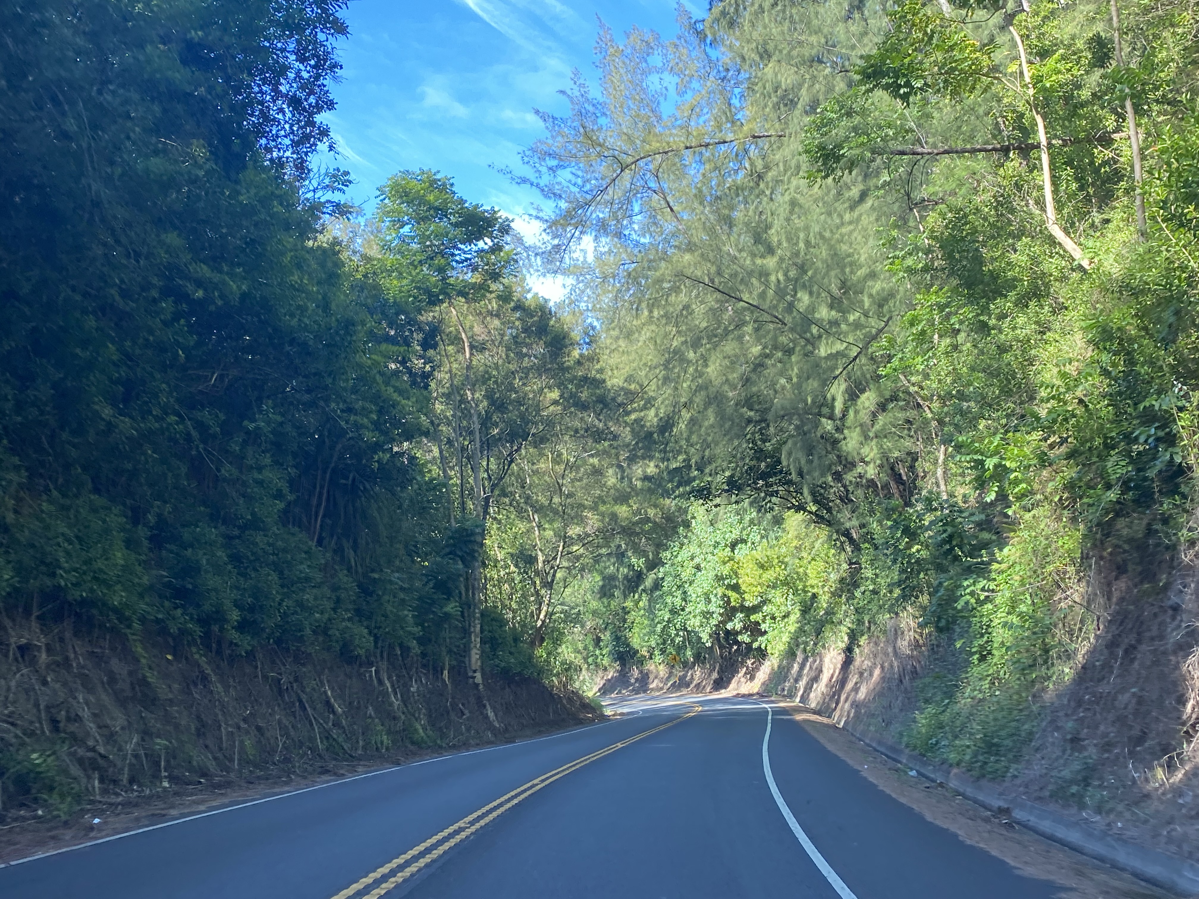
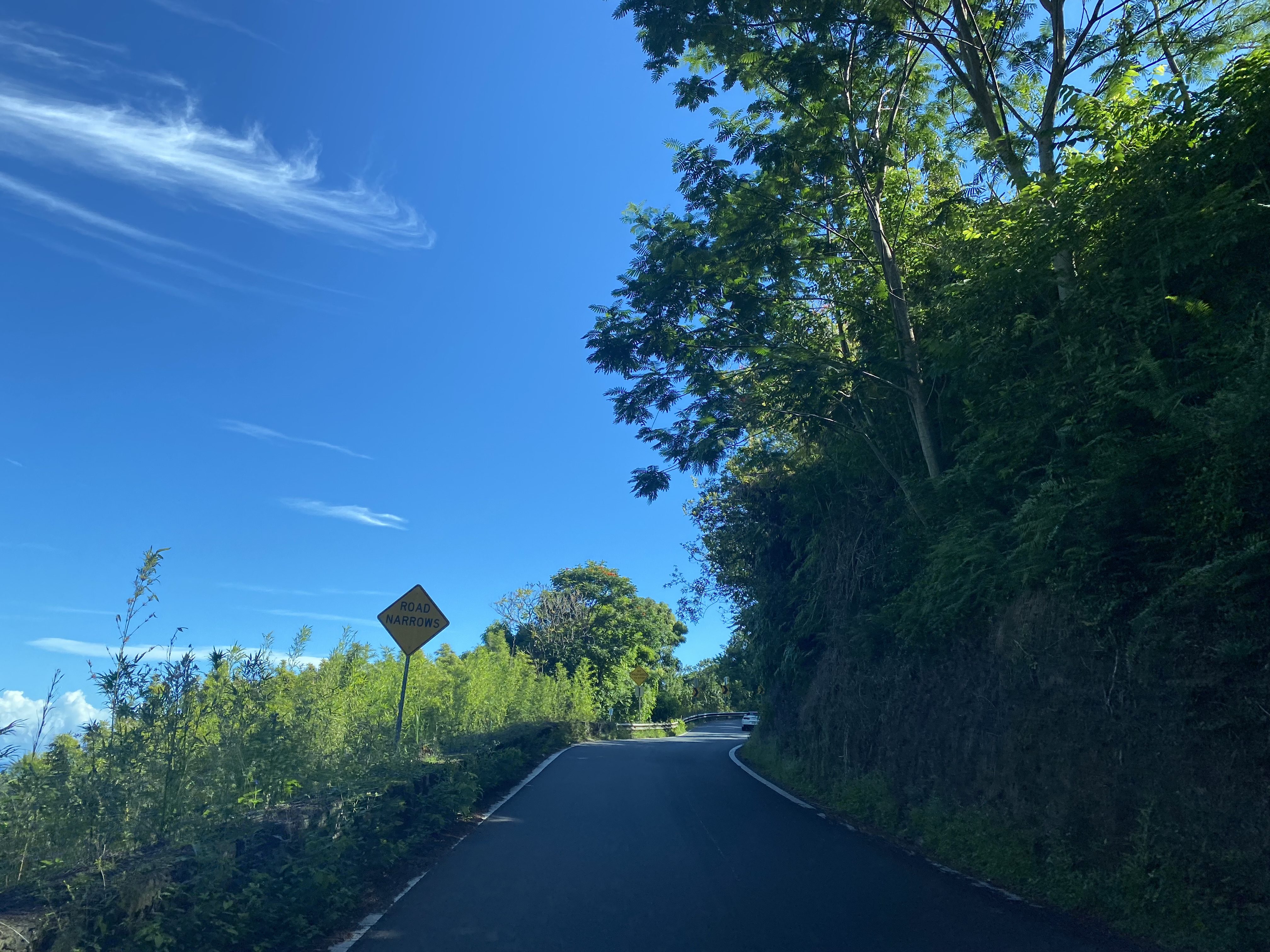
East of Nailiilhaele Stream Bridge, Hana Highway/Hawaii Route 360 rises through an abrupt switchback.


Hana Highway/Hawaii Route 360 crosses the Makanali Stream Bridge (Bridge #5) at Mile Point 8.22. The Makanali Stream Bridge was constructed during 1925 and is 18.04 feet long.


Hana Highway/Hawaii Route 360 crosses the Kaaiea Stream Bridge (Bridge #6) at Mile Point 8.55. The Kaaiea Stream Bridge was constructed during 1928 and is 21.98 feet long. The works of the Hamakau Ditch can be seen upstream of the Kaaiea Stream Bridge.


Hana Highway/Hawaii Route 360 crosses the Waikamoi Stream Bridge (Bridge #7) at Mile Point 9.86. The Waikamoi Stream Bridge was constructed during 1912 and is 41.01 feet long. The 1910s era design of the Waikamoi Stream Bridge appears far more primitive to the 1920s era bridges west of it.


Hana Highway/Hawaii Route 360 crosses the Puohokamoa Stream Bridge (Bridge #8) at Mile Point 10.95. The Puohokamoa Stream Bridge was constructed during 1912 and is 56.10 feet long.


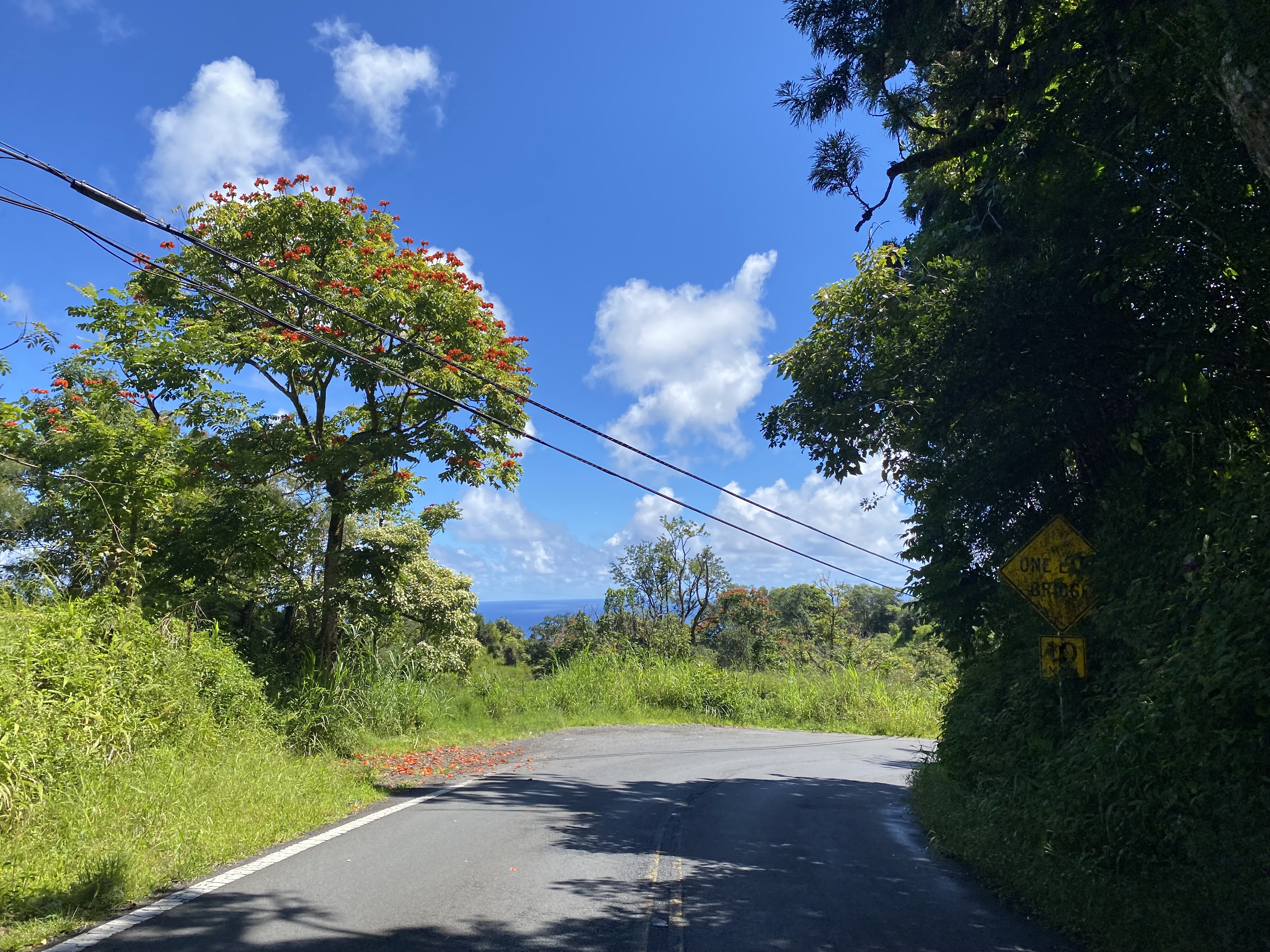
East of the Haipuaena Stream Bridge the alignment of Hana Highway/Hawaii Route 360 passes by Kaumahina State Wayside. From Kaumahina State Wayside looking east the Keanae Peninsula and village can be seen.

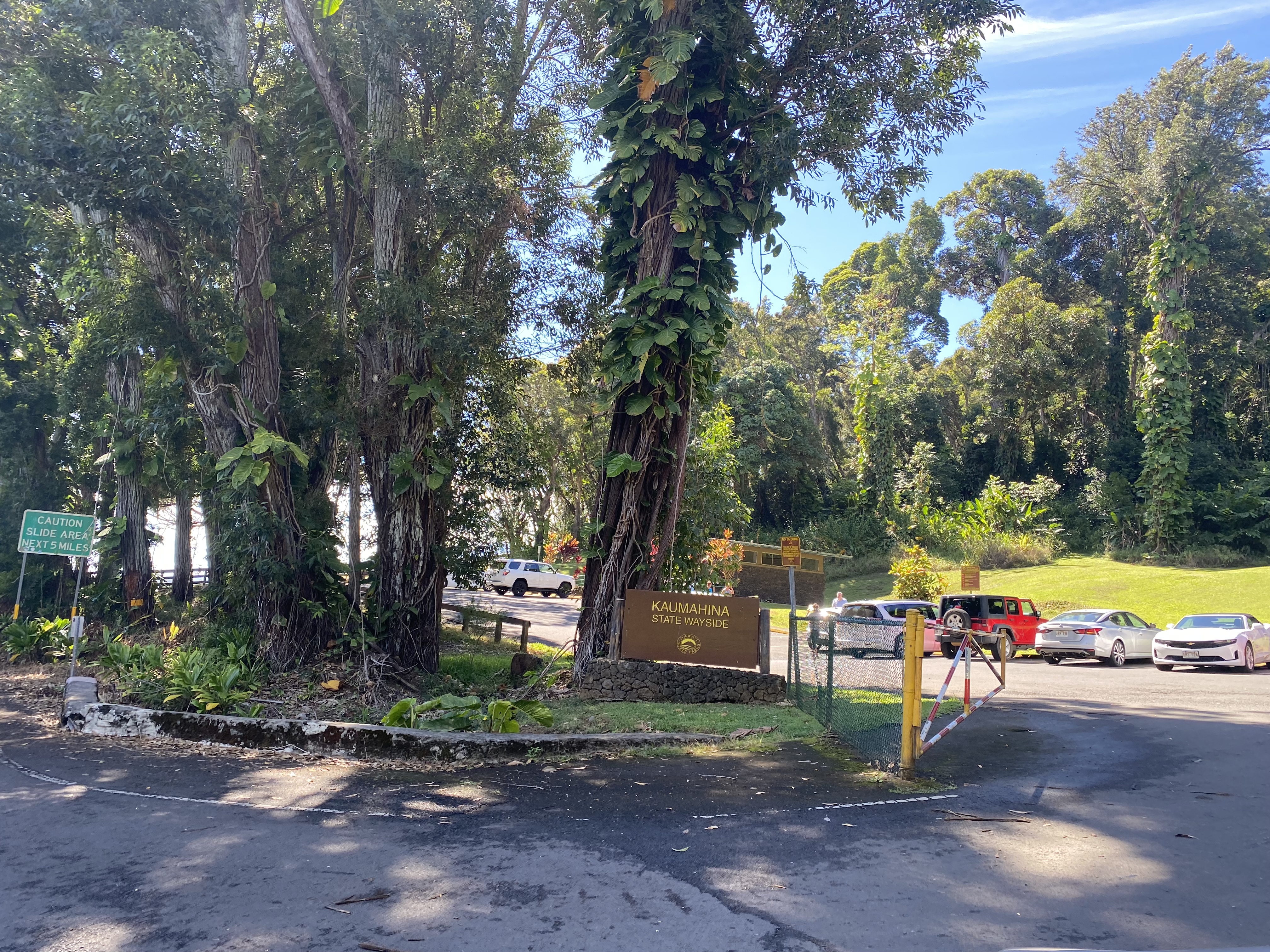

Traffic departing Kaumahina State Wayside eastbound is advised of 15 miles of slide prone terrain ahead on Hana Highway/Hawaii Route 360.

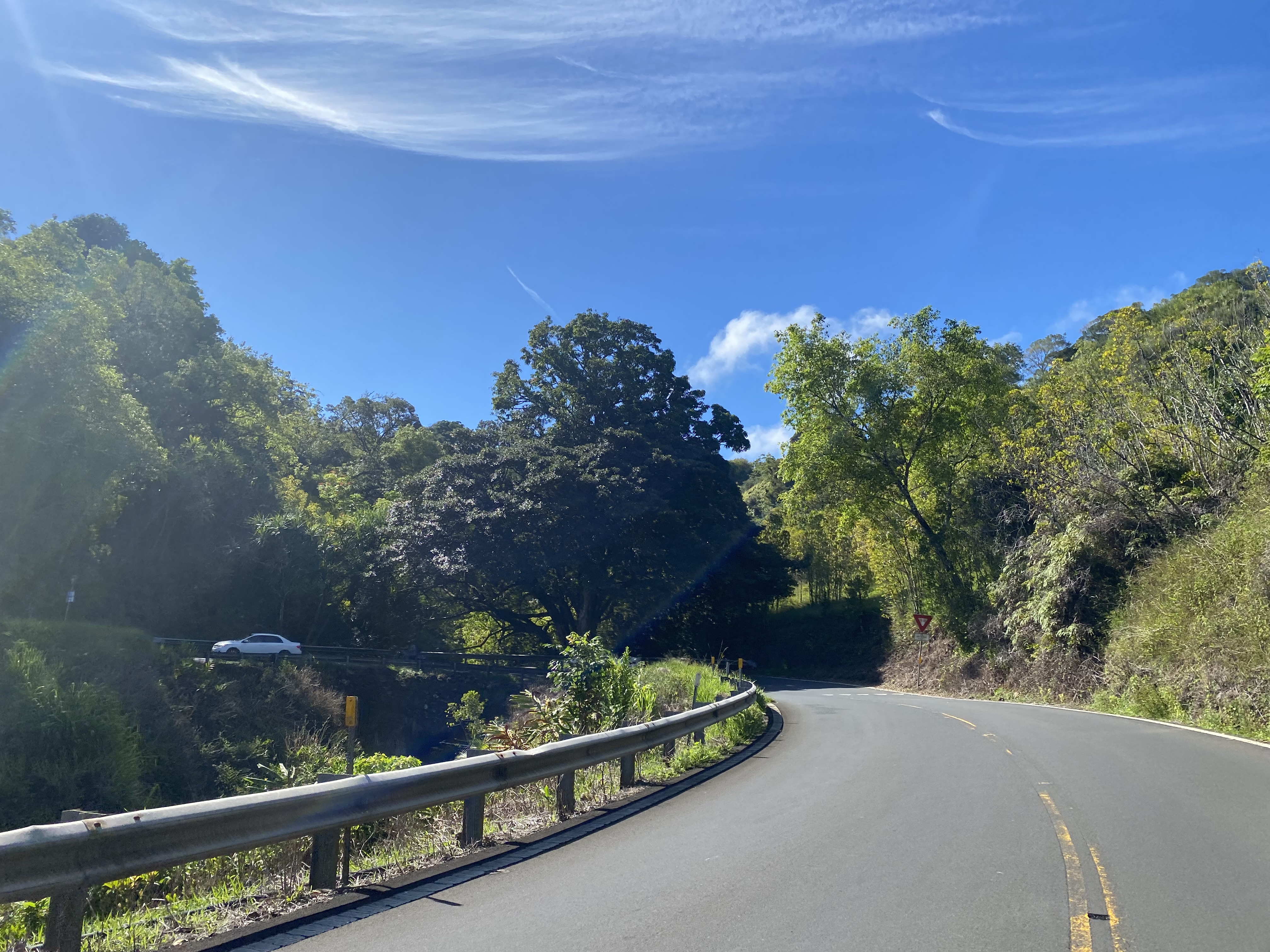
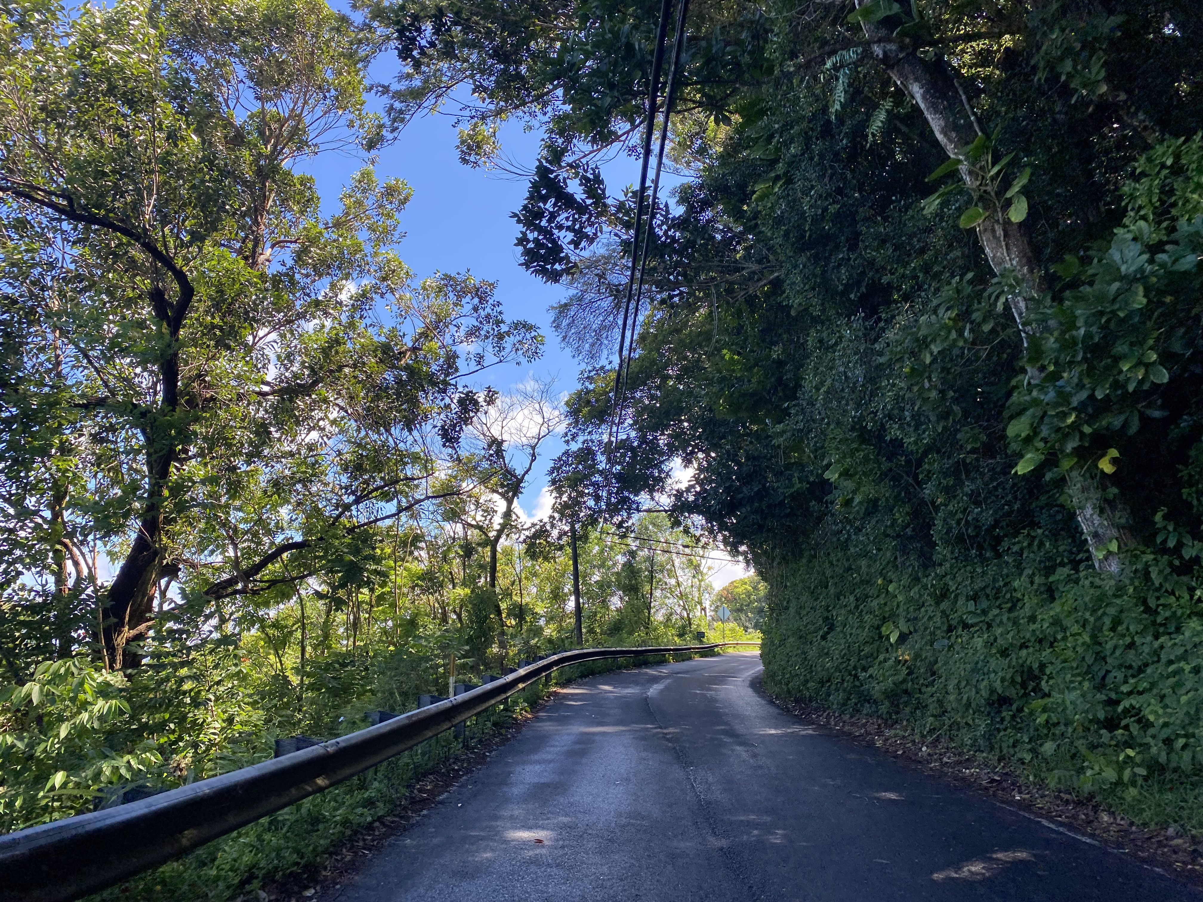
Hana Highway/Hawaii Route 360 east of Kaumahina State Wayside hugs the narrow coastal terrain before dipping back inland approaching Kolea Stream. Hana Highway/Hawaii Route 360 crosses the Kolea Stream Bridge (Bridge #10) at Mile Point 13.13. The Kolea Stream Bridge was constructed during 1911 and is 34.12 feet long.


Hana Highway/Hawaii Route 360 crosses the Honomanu Stream Bridge (Bridge #11) at Mile Point 13.68. The Honomanu Stream Bridge was constructed during 1911 (seen prominently on the side the structure) and is 47.90 feet long.


Hana Highway/Hawaii Route 360 crosses the Piinaau Stream Bridge (Bridge #13) at Mile Point 16.56. The Piinaau Stream Bridge was constructed during 1916 and is 26.9 feet long.

Hana Highway/Hawaii Route 360 crosses the Palauhulu Stream Bridge (Bridge #14) at Mile Point 16.73. The Palauhulu Stream Bridge was constructed during 1916 and is 29.9 feet long.

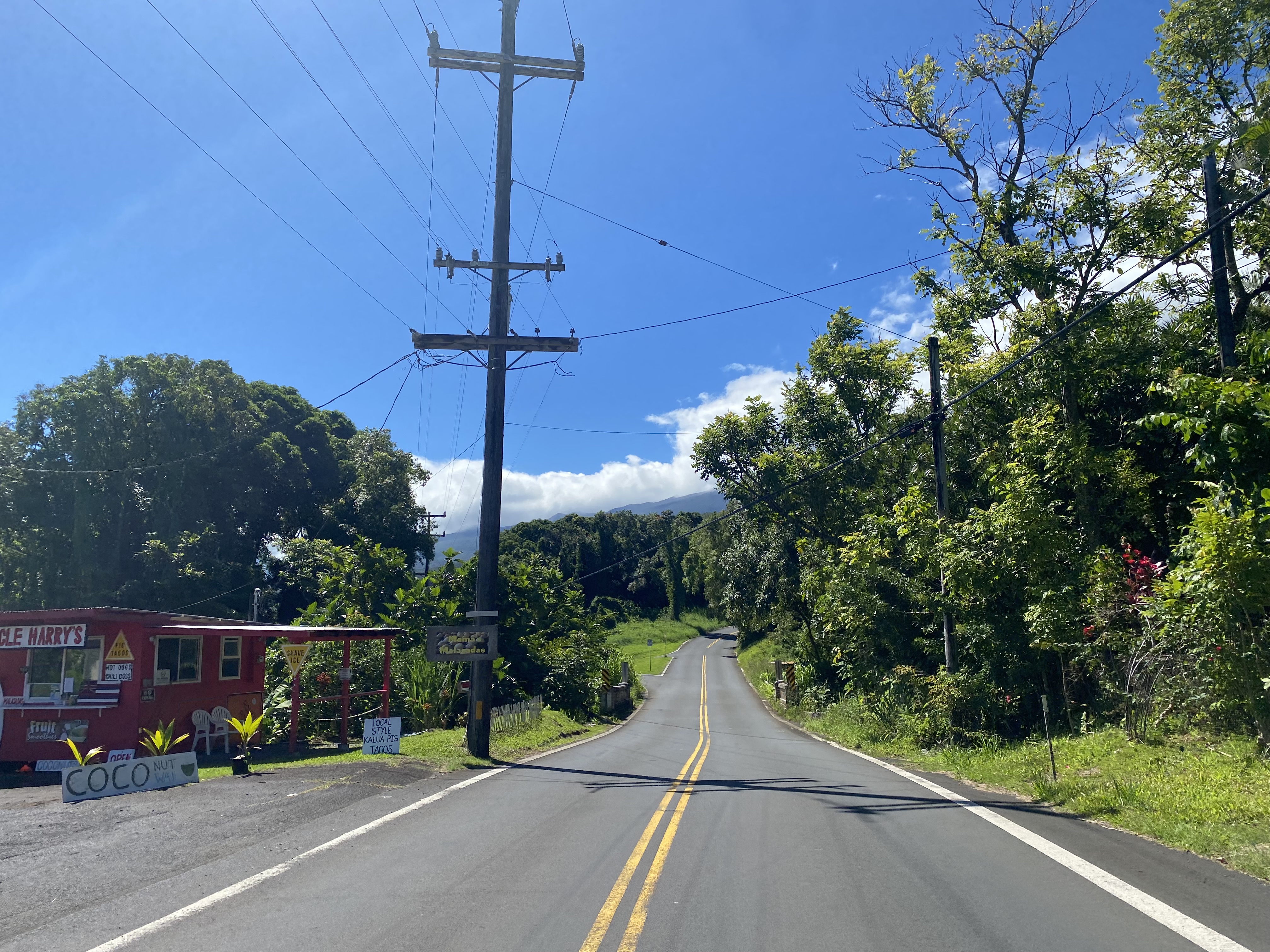
Hana Highway/Hawaii Route 360 eastbound enters Wailua Bay and passes by the Halfway to Hana food stand. Hana Highway/Hawaii Route 360 crosses the Waiokamilo Stream Bridge (Bridge #15) at Mile Point 18.03 approaching Wailua Road. The Palauhulu Stream Bridge was constructed during 1921 and is 23.95 feet long.


Hana Highway/Hawaii Route 360 eastbound passes by the Wailua Valley State Wayside which overlooks Wailua Valley.


Hana Highway/Hawaii Route 360 eastbound departs Wailua Valley. Hana Highway/Hawaii Route 360 crosses the Waikani Stream Bridge (Bridge #16) at Mile Point 19.35. The Waikania Stream Bridge as noted in Part 1 was the final centerpiece of Hana Highway completed during 1926 and is 107.94 feet long.


Hana Highway/Hawaii Route 360 crosses the West Wailuaiki Stream Bridge (Bridge #17) at Mile Point 20.78. The West Wailuaiki Stream Bridge was constructed during 1926 and is 70.87 feet long.


Hana Highway/Hawaii Route 360 crosses the East Wailuaiki Stream Bridge (Bridge #18) at Mile Point 21.23. The East Wailuaiki Stream Bridge was constructed during 1926 and is 34.12 feet long.


Hana Highway/Hawaii Route 360 crosses the Kopiliula Stream Bridge (Bridge #19) at Mile Point 21.73. The Kopiliula Stream Bridge has a disputed build year of 1914 or 1926 and is 77.10 feet long.

Hana Highway/Hawaii Route 360 crosses the Puaakaa Stream Bridge (Bridge #20) at Mile Point 22.23. The Puaakaa Stream Bridge was constructed during 1926 and is 20.01 feet long.

Hana Highway/Hawaii Route 360 crosses the Waiohue Stream Bridge (Bridge #21) at Mile Point 22.41 approaching Puaakaa Falls State Wayside. The Waiohue Stream Bridge was constructed during 1926 and is 40.03 feet long.

Hana Highway/Hawaii Route 360 crosses an unnamed bridge over Waiohuolua Stream (Bridge #22) at Mile Point 22.86. The bridge over Waiohuolua Stream was constructed during 1920 and is 19.03 feet long.

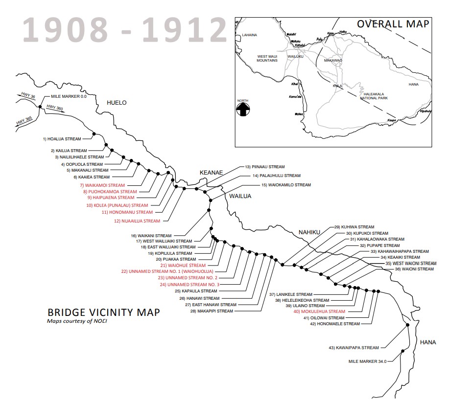
Hana Highway/Hawaii Route 360 crosses an unnamed bridge over an unnamed stream (Bridge #23) at Mile Point 22.89. The bridge over the unnamed stream was constructed during 1920 and is 20.01 feet long. Hana Highway/Hawaii Route 360 crosses an unnamed bridge over Paakea (Bridge #24) at Mile Point 22.91. The bridge over Paakea Gulch was constructed during 1920 and is also 19.03 feet long.

Hana Highway/Hawaii Route 360 crosses the Kapaula Stream Bridge (Bridge #25) at Mile Point 23.31. The Kapaula Stream Bridge was constructed during 1926 and is 48.88 feet long.


Hana Highway/Hawaii Route 360 crosses the Hanawi Stream Bridge (Bridge #26) at Mile Point 23.93. The Hanawi Stream Bridge was likely completed during 1926 and is 60.04 feet long.


Hana Highway/Hawaii Route 360 crosses the East Hanawi Stream Bridge (Bridge #27) at Mile Point 24.10. The East Hanawi Stream Bridge was constructed during 1926 and is 22.97 feet long.


Hana Highway/Hawaii Route 360 crosses the Makapipi Stream Bridge (Bridge #28) at Mile Point 24.92 approaching Nahiku Road. The Makapipi Stream Bridge was constructed during 1926 and is 40.03 feet long.


Eastbound Hana Highway/Hawaii Route 360 passes by Nahiku Road and Koolau Forest Reserve. The Koolau Forest Reserve was set aside by the Hawaiian Governor during 1905 and is the largest on Maui at 31,104 acres.
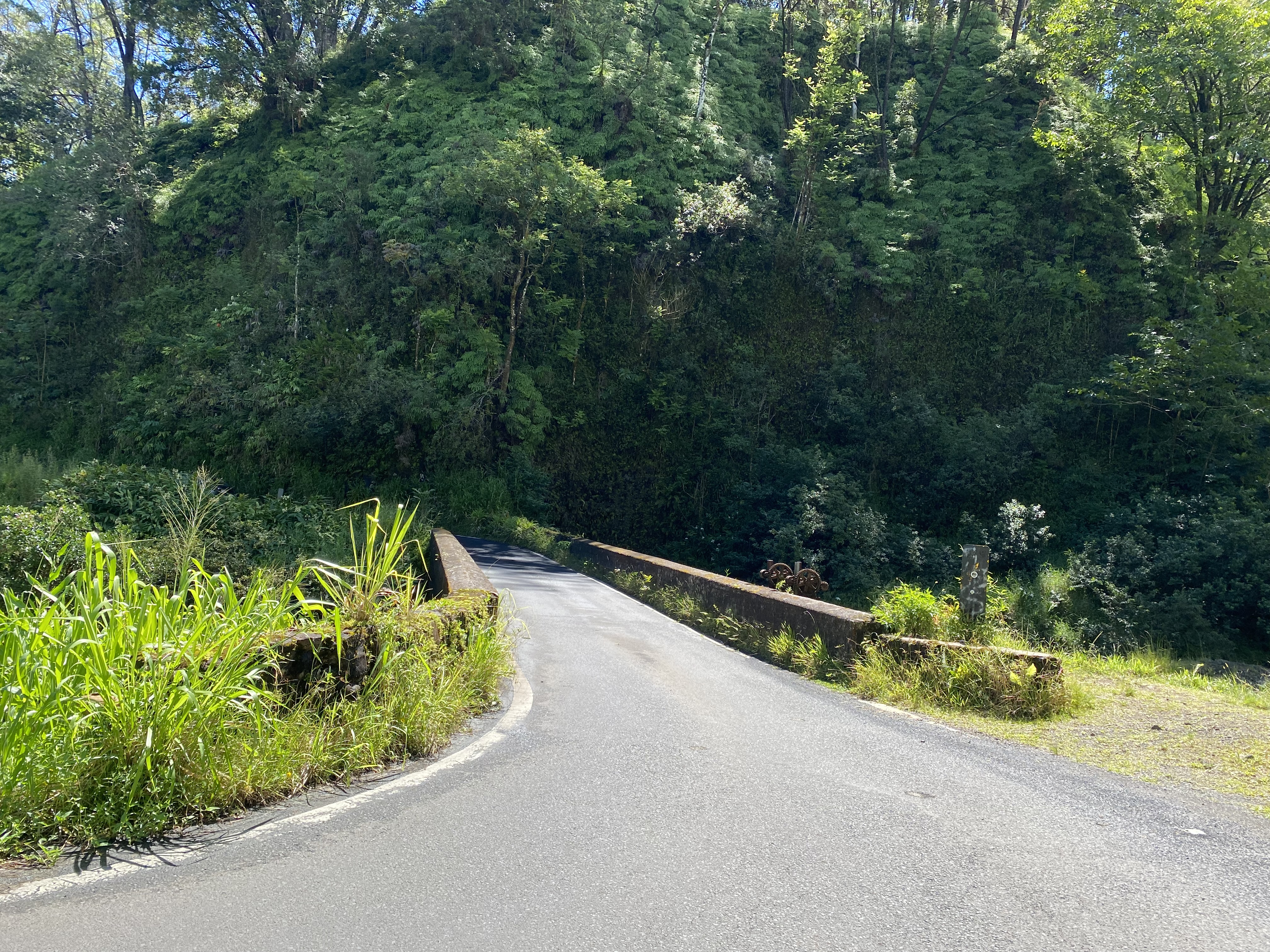
Hana Highway/Hawaii Route 360 crosses the Kuhiwa Stream Bridge (Bridge #29) at Mile Point 25.14 immediately east of Nahiku Road. The Kuhiwa Stream Bridge was likely completed during 1927 and is 60.04 feet long. At Mile Point 25.36 Hana Highway/Hawaii Route 360 crosses the Kupukoi Stream Bridge. The Kupukoi Stream Bridge was completed during 1926 and is 23.95 feet long. At Mile Point 25.89 Hana Highway/Hawaii Route 360 crosses the Kahalaowaka Stream Bridge (Bridge #31 in the second photo below). The Kahalaowaka Stream Bridge was constructed during 1926 and is 22 feet long.


Hana Highway/Hawaii Route 360 crosses the Pupape Stream Bridge (Bridge #32) at Mile Point 26.42 approaching the outskirts of Hana. The Pupape Stream Bridge was constructed during 1926 and is 23.95 feet long.

Hana Highway/Hawaii Route 360 crosses the Kahawaihapapaa Stream Bridge (Bridge #33) at Mile Point 26.54. The Kahawaihapapa Stream Bridge was constructed during 1925 and is 60.04 feet long.


Hana Highway/Hawaii Route 360 crosses the Keaaiki Stream Bridge (Bridge #34) at Mile Point 26.70. The Keaaiki Stream Bridge was constructed during 1921 and is 21.98 feet long.

Hana Highway/Hawaii Route 360 crosses the West Waioni Stream Bridge (Bridge #35) at Mile Point 26.87. The West Waioni Stream Bridge was constructed during 1920 and is 28.87 feet long.

Hana Highway/Hawaii Route 360 crosses the Waioni Stream Bridge (Bridge #36) at Mile Point 26.92. The Waioni Stream Bridge was constructed during 1920 and is 23.95 feet long.

Hana Highway/Hawaii Route 360 crosses the Lanikele Stream Bridge (Bridge #37) at Mile Point 27.69. The Lanikele Stream Bridge was constructed during 1925 and is 50.85 feet long.


Hana Highway/Hawaii Route 360 crosses the Heleleikeoha Stream Bridge (Bridge #38) at Mile Point 27.85. The Heleleikeoha Stream Bridge was constructed during 1917 and is 27.89 feet long.

Hana Highway/Hawaii Route 360 crosses the Ulaino Stream Bridge (Bridge #39) at Mile Point 27.92. The Ulaino Stream Bridge was constructed during 1914 and is 27.92 feet long.

Hana Highway/Hawaii Route 360 crosses the Mokulehua Stream Bridge (Bridge #40) at Mile Point 28.25. The Mokulehua Stream Bridge was constructed during 1908 and as noted in Part 1 is the oldest existing bridge on Hana Highway. The Mokulehua Stream Bridge is 47.90 feet long.

Hana Highway/Hawaii Route 360 crosses the Oilowai Stream Bridge (Bridge #41) at Mile Point 29.12. The Oilowai Stream Bridge was constructed during 1914 and is 21.98 feet long.


Hana Highway/Hawaii Route 360 crosses the Honomaele Stream Bridge (Bridge #42) at Mile Point 29.47. The Honomaele Stream Bridge was constructed during 1924 and is 38.06 feet long.


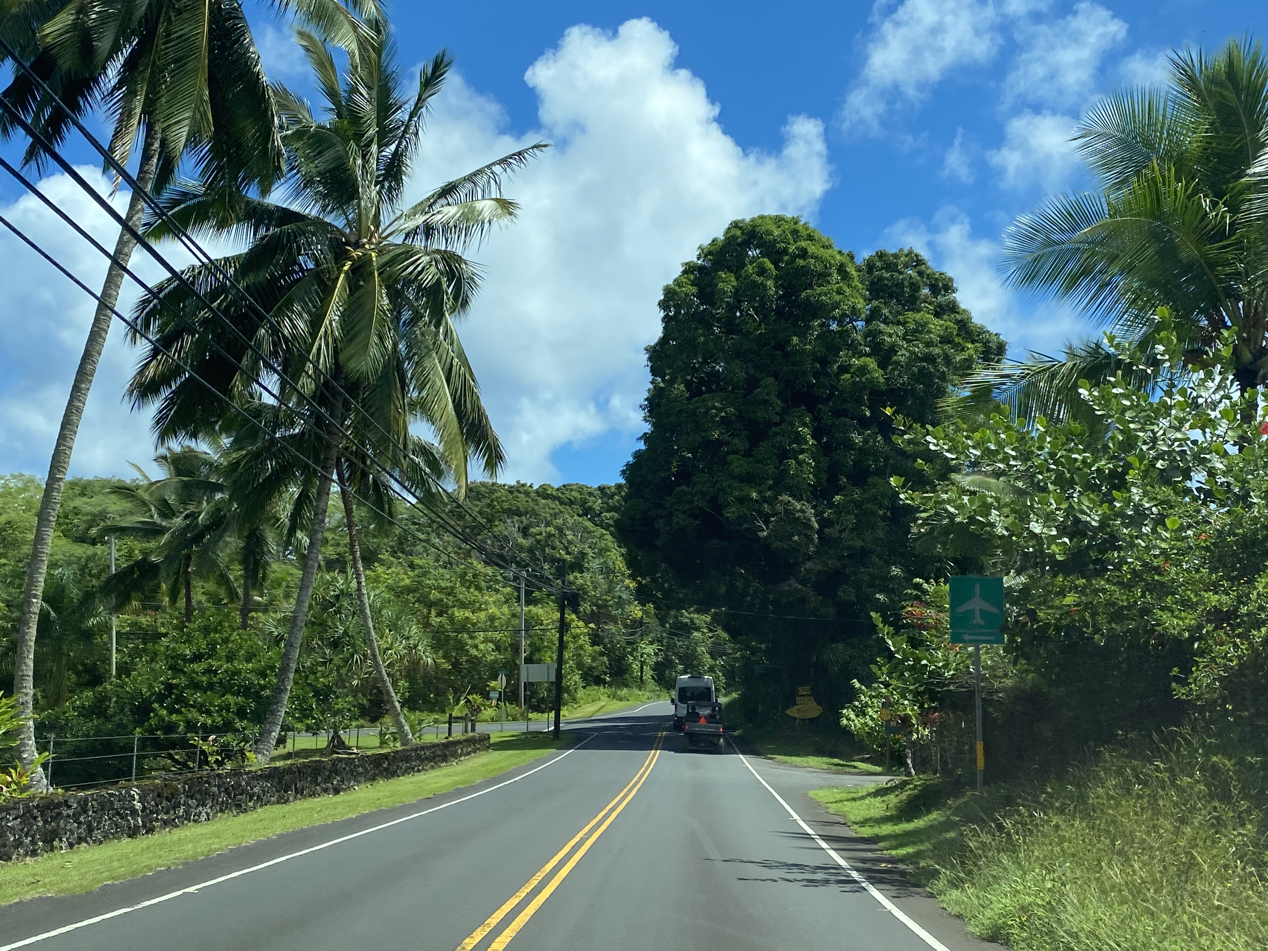
Hana Highway/Hawaii Route 360 eastbound widens to a largely conventional two-lane highway entering the Hana area. Traffic wishing to access Hana Airport on eastbound Hana Highway is directed to turn left at Alalele Place.


Traffic desiring to access Waianapanapa State Park eastbound Hana Highway/Hawaii Route 360 is directed to turn left onto Waianapanapa Road.

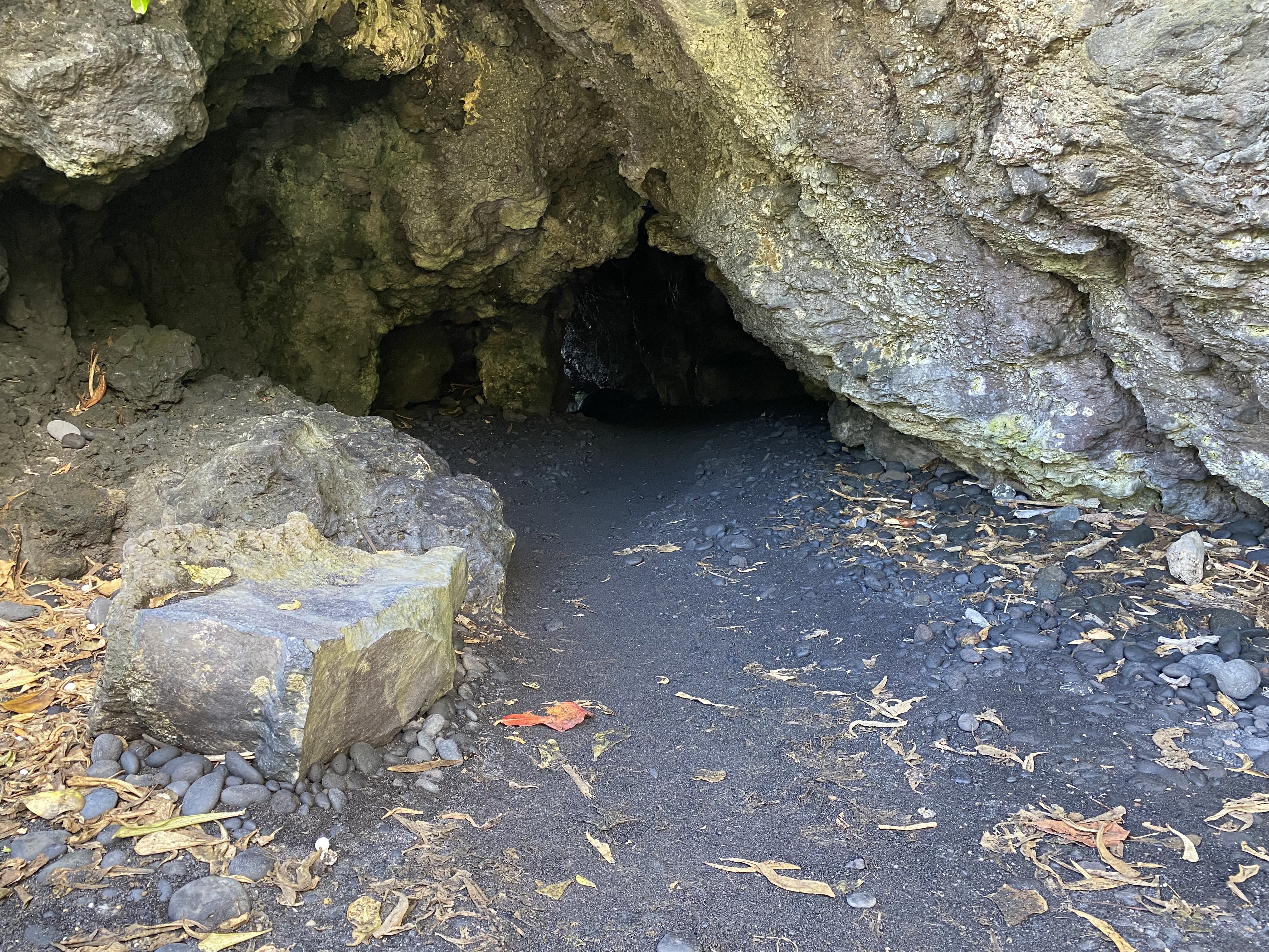
Waianapanapa State Park is 122 acres and is one of the more notable features of the Hana area. The Black Sand Beach (Pailoa Beach) is the most popular attraction at Waianapanapa State Park which has largely necessitated the need for a reservation system. Waianapanapa State Park contains numerous ancient burial sites along the Kihaapilani Trail. Numerous lava tubes including the notable "Blow Hole" can be found within the grounds of Waianapanapa State Park.


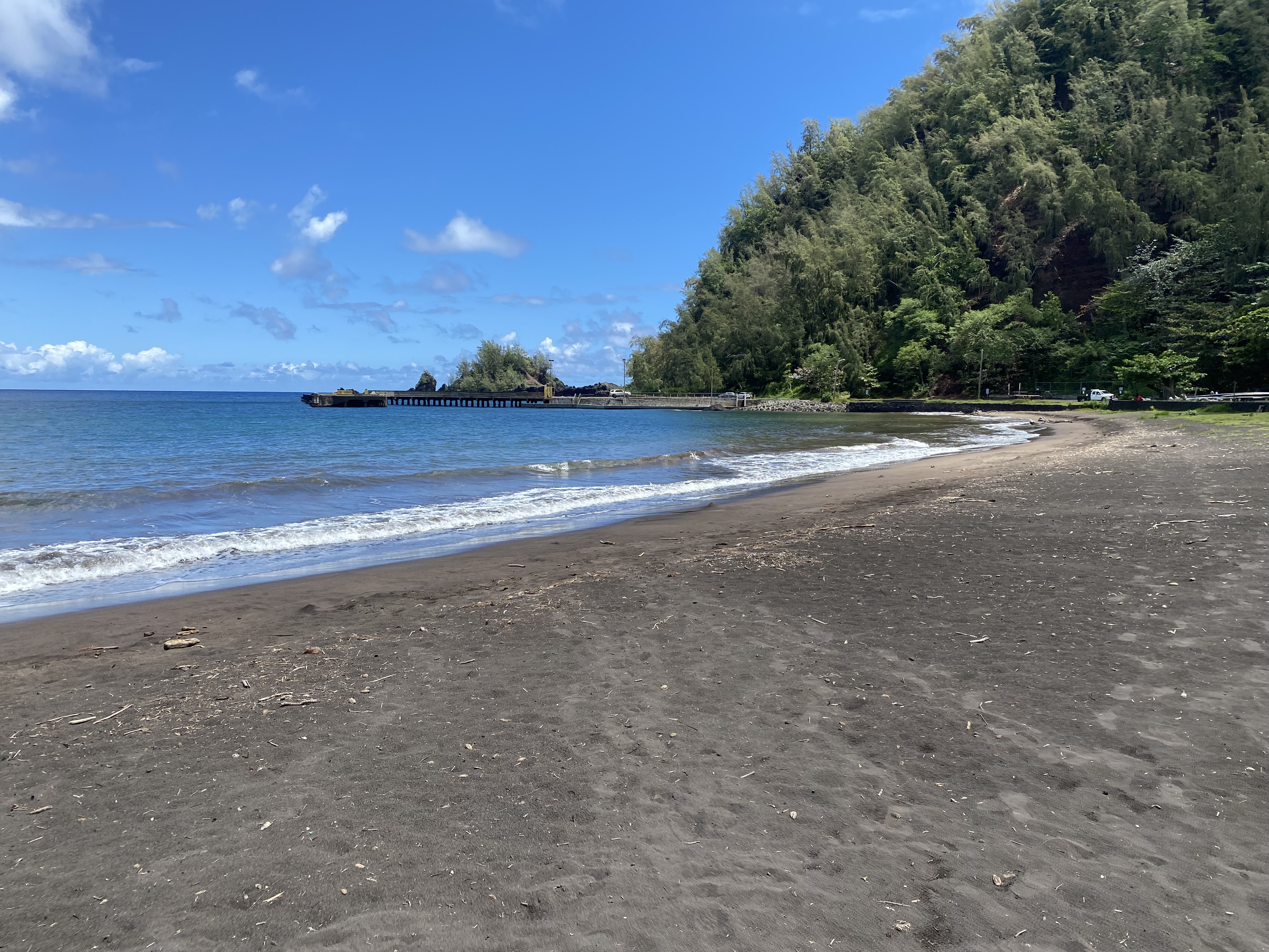
Hana Highway/Hawaii Route 360 eastbound enters central Hana upon crossing Kawaipapa Stream Bridge (Bridge #43). As noted in Part 1 the Kawaipapa Bridge was constructed during 1947 and was improved during 1991 by way of an addition of a double cell culvert. Traffic on Hawaii Route 360 eastbound is directed by signage to stay on Hana Highway at Uakea Road. This signage likely is placed as such given the older alignment of Hana Highway once followed Uakea Road.


Hawaii Route 360 can be following Uakea Road and Keawa Place on the 1992 United States Geological Survey Map of Hana. Hana Highway and Hawaii Route 360 were likely moved during recent times due to the closure of the pier at the end of Keawa Place at Hana Bay.

The Hawaii Route 360 portion of Hana Highway ends at Hana at Keawa Place. An "end of state maintenance" sign is the only indication of Hana Highway transitioning to Maui County Route 31 at Keawa Place.


Below Hana Bay and the derelict pier at the end of Keawa Place can be observed. For a time Keawa Place may have been retained as unsigned State Highway after Hana Highway/Hawaii Route 360 were realigned.


Below Hana Highway can be observed departing Hana via Maui County Route 31. The only gas station in Hana be found near Mill Place. As Hana Highway departs Hana a guide sign notes the Kipahulu area of Haleakala National Park to be 9.5 miles to the south. At Kalepa Gulch the alignment of Maui County Route 31 transitions to Piilani Highway.


Part 3; an assessment of the reality of Hana Highway versus what is often published about it
Generally, I tend (Challenger Tom) not to write my blogs on Gribblenation from a firsthand perspective. Regarding Hana Highway there is a lot of existing articles and literature out in the mainstream. That being the case, I felt it was important to address my experience from the perspective of someone who is an admin of an actual highway webpage.
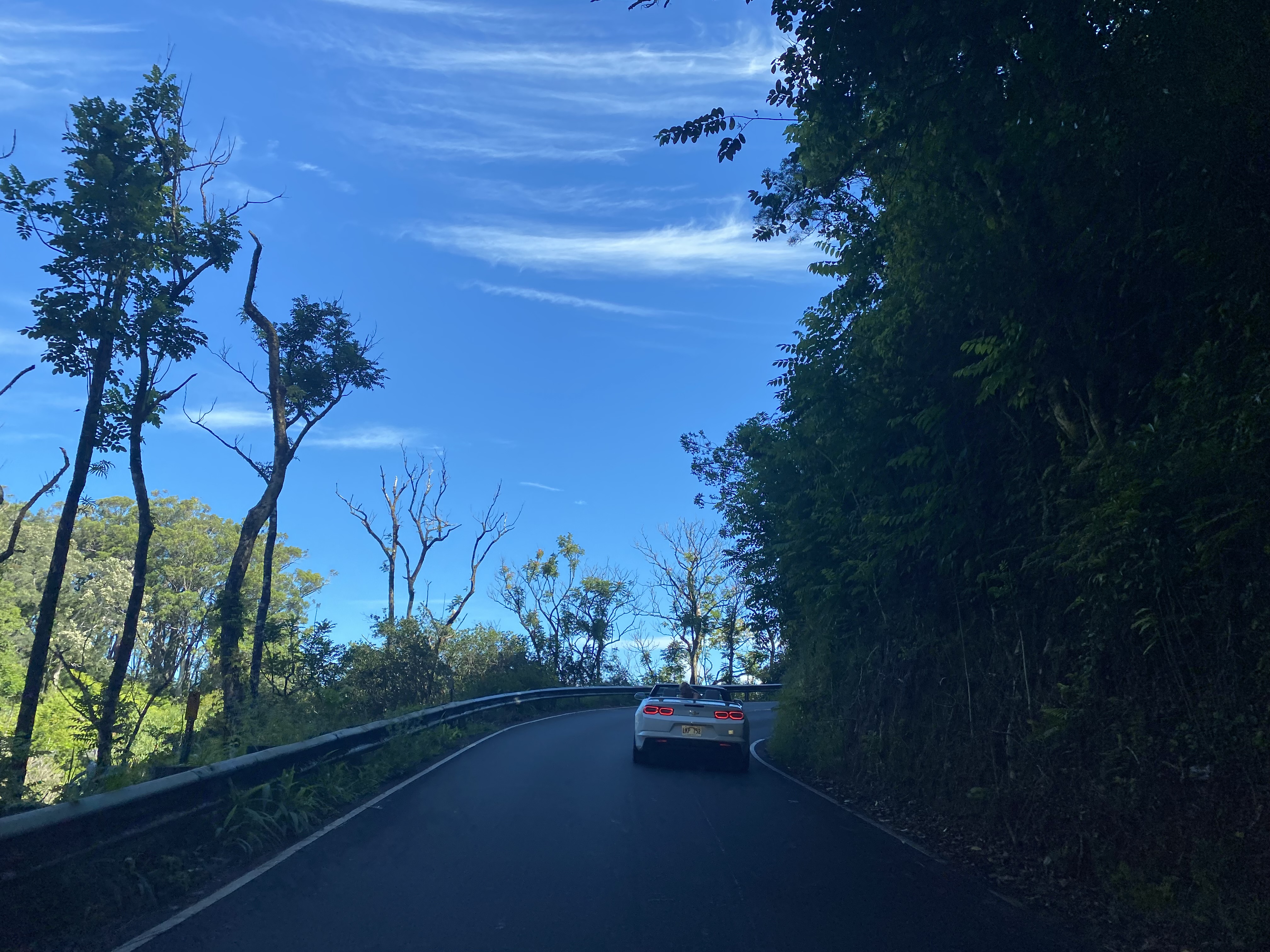
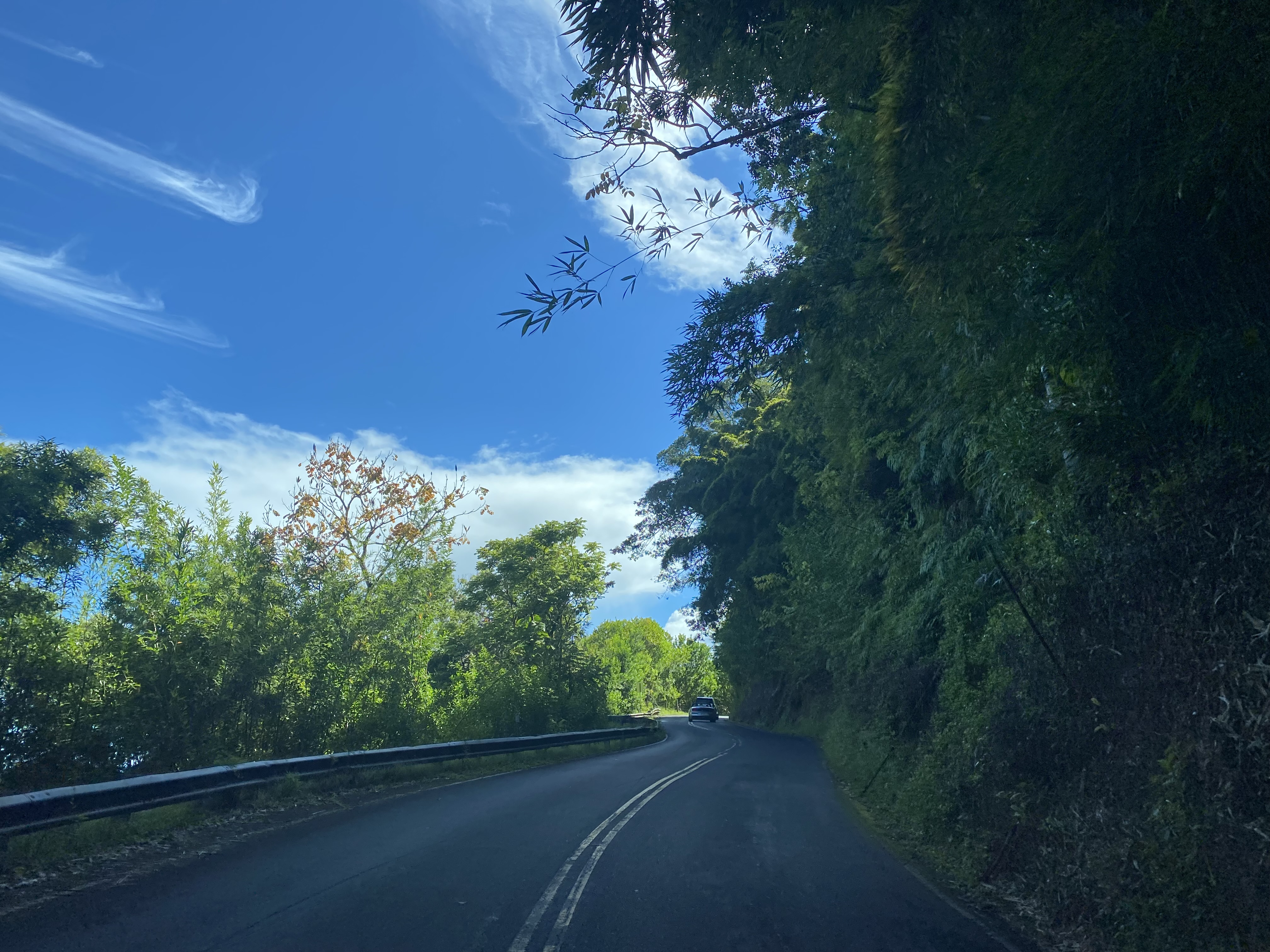
Getting straight to the point, there are far more difficult paved roads out there than Hana Highway. Off the top of my head, we have featured at least two dozen more difficult paved roads in just California compared to Hana Highway. A lot of the hype regarding the difficulty of Hana Highway seems to come from tourism boards or from people who are simply aren't familiar with driving single lane mountain roads. By far the biggest obstruction on the Hawaii Route 360 portion of Hana Highway is the sheer number of inexperienced drivers. I never thought once on my trip along the Hawaii Route 360 portion of Hana Highway the terrain was anything insurmountable. In fact, I found myself wishing the 15 MPH sections of Hana Highway had posted speeds of 30 or 35 MPH. The pace of traffic on Hana Highway definitely is much faster than what the speed limits are posted at.
If I had to make a comparison, I would say Hana Highway reminded me of a narrower California State Route 1 in the Big Sur Region. The largely coastal terrain Hana Highway is very similar to California State Route 1 in Big Sur as is the amount of tourist drivers. Truthfully, I was hoping Piilani Highway (Maui County Route 31) along the southern shore of Maui was open so I wouldn't have to double back on Hana Highway. Unfortunately for me, Piilani Highway had a fairly recent large landslide which made the route on the southern shore of Maui impassible. Contrary to popular belief, my rental car company had no prohibition on driving Piilani Highway or really anywhere in Maui. I suspect Piilani Highway more closely resembles some of the roadways we have previously featured on Gribblenation.
On the plus side, Hana Highway was notable enough of an attraction that it was first on my wife's list of places to see on Maui. I can't think of many past instances where my wife had a highway on her list of places to visit. Personally, I think Hana Highway has all the right ingredients for anyone to enjoy and I would definitely recommend driving it.

Comments