Skyline Drive is a 105.5-mile highway which runs the entire length of Virginia's Shenandoah National Park. Shenandoah National Park is located in the Blue Ridge Mountains and was formally created by Congress on December 26, 1935. Construction of Skyline Drive began on July 18, 1931, with segments opening traffic incrementally over the following years. The final segment of Skyline Drive opened to traffic on August 29, 1939. Today Skyline Drive functions as a northern extension of the Blue Ridge Parkway. Pictured as the blog cover is the Marys Rock Tunnel which was completed during 1932.
Part 1; the history of Skyline DriveMovement towards creating a National Park in the Blue Ridge Mountains of Virginia was first proposed during 1901 by Virginia Congressman Henry Flood. Ultimately legislation to create a National Park in Virginia failed to pass despite support from President Theodore Roosevelt.
During May 1925 President Calvin Coolidge authorized the National Park Service to acquire 250,000-521,000 acres of land in the Blue Ridge Mountains of Virginia to create a National Park. The legislation to acquire said land carried a stipulation that no Federal funds could be used and was reliant upon the State of Virginia to raise funding. Through the following years the planned size of Shenandoah National Park was reduced to 160,000 acres to avoid high value parcels of land. The reduced planned size of Shenandoah National Park ultimately would give it the narrow shape it carries today.
What was to become Skyline Drive was first suggested by William C. Gregg of the Southern Appalachian National Park Committee. Surveys for Skyline Drive were taken during January 1931 and construction would break ground on July 18, 1931. The initial segment of Skyline Drive to be constructed was to be the segment from Rapidan Camp to the Skyland Resort. The initial construction of Skyline Drive would quickly expand to include segments which would connect it from US Route 33 at Swift Run Gap to US Route 211 at Thornton Gap. The initial planned scale of Skyline Drive can below in a 1931 National Park Service document.

During 1932 Congress appropriated $1,000,000 to fund construction of Skyline Drive. The Department of Interior also made an announcement that Skyline Drive would span Swift Run Gap to Front Royal upon being completed. 1932 construction would include the completion of the 670-foot-long Marys Rock Tunnel near Thornton Gap. A \completed segment of Skyline Drive can be near the Skyland Resort on October 23, 1932.
Marys Rock Tunnel can during construction below in a National Park Service photo.
The completed Marys Rock Tunnel can be seen from the south portal in a National Park Service photo.
The planned National Park in the Blue Ridge Mountains can be seen on the 1934 Rand McNally Map of Virginia as part of George Washington National Forest. George Washington National Forest had been applied over what had been previously known as Shenandoah National Forest during 1932.
Skyline Drive would open between Swift Run Gap and Thornton Gap on September 15, 1934. Shenandoah National Park was created by Congress on December 26, 1935, during the middle of construction of Skyline Drive. The segment of Skyline Drive from Thornton Gap to Front Royal would open to traffic on October 1, 1936. Skyline Drive would be fully completed upon the opening of the highway to traffic from Swift Run Gap south to Jarmen Gap on August 29, 1939. The construction of Skyline Drive cost approximately $358,636 to complete. Skyline Drive from Jarmen Gap was connected via a segment of the Blue Ridge Parkway to US Route 250 at Rockfish Gap which had opened on August 11, 1939.
The parking area immediately south of Marys Rock Tunnel can be seen during 1935 in a National Park Service photo.
Below the first paying car from the Front Royal Entrance to Skyline Drive can be seen in a National Park Service photo.
Note: much of the history of this blog and vintage photos were sourced from the National Park Service article titled "Skyline Drive."
Skyline Drive - Shenandoah National Park (U.S. National Park Service) (nps.gov)
The completed Skyline Drive between Front Royal south to Jarmen Gap can be seen on the 1940 Rand McNally Map of Virginia.
During 1958 the Marys Rock Tunnel was reinforced via installation of concrete lining. During 1961 segment of the Blue Ridge Parkway from Rockfish Gap north to Jarmen Gap was transferred to Skyline Drive. This measure brought Skyline Drive to the 105.5-mile length it carries today.
Part 2; a from Front Royal to Skyland via Skyline Drive
From the Warren County Seat of Front Royal traffic can access Skyline Drive by following US Route 340 south to the North Entrance Station of Shenandoah National Park. Front Royal is the only incorporated community in Warren County and lies within Shenandoah Valley along the Shenandoah River. Front Royal was settled as LeHewotown during 1754 and would incorporate as Front Royal during 1788. It is unclear what the name "Front Royal" references and there are many theories.
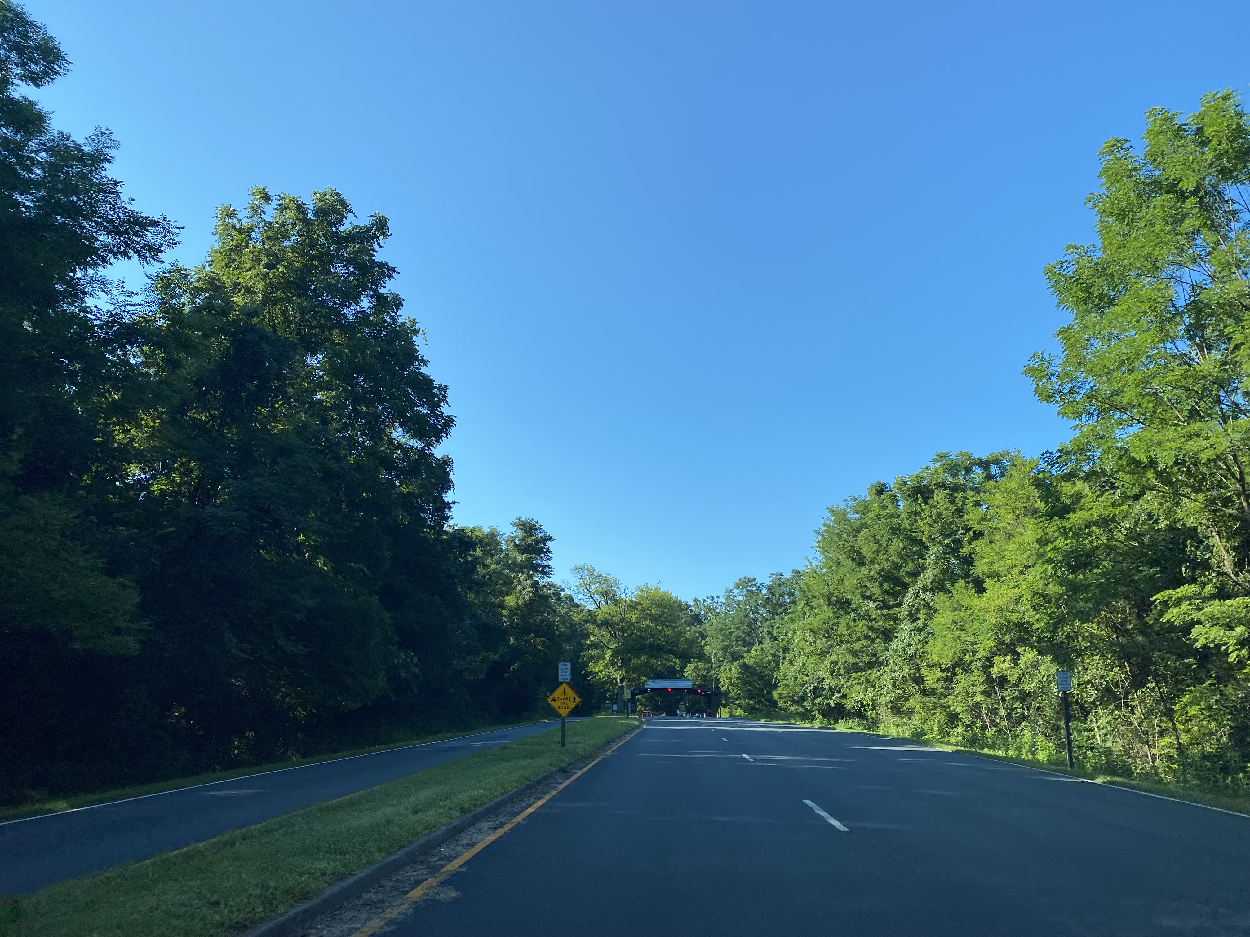
At the North Entrance Station of Shenandoah National traffic on Skyline Drive is advised that Thornton Gap is 32 miles to the south whereas Waynesboro is 109 miles away.
Southbound Skyline Drive passes through the North Entrance Station of Shenandoah National Park. Upon passing through the North Entrance Station traffic is advised the Dickey Ridge Visitor Center is 4 four miles due south. The North Entrance Station is located at 712 feet above sea level.
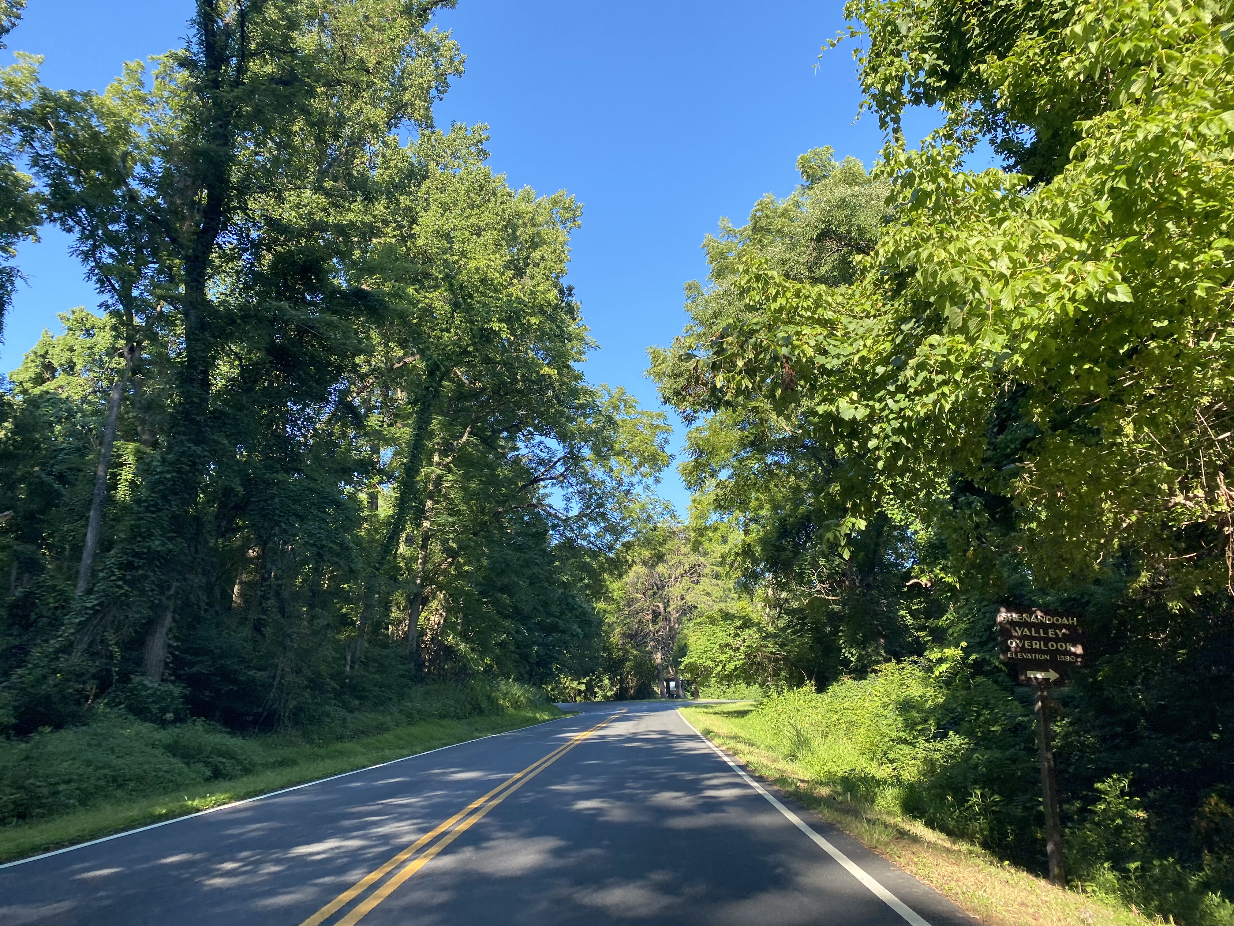
Southbound Skyline Drive quickly ascends to the Shenandoah Valley Overlook which is located at 1,390 feet above sea level.
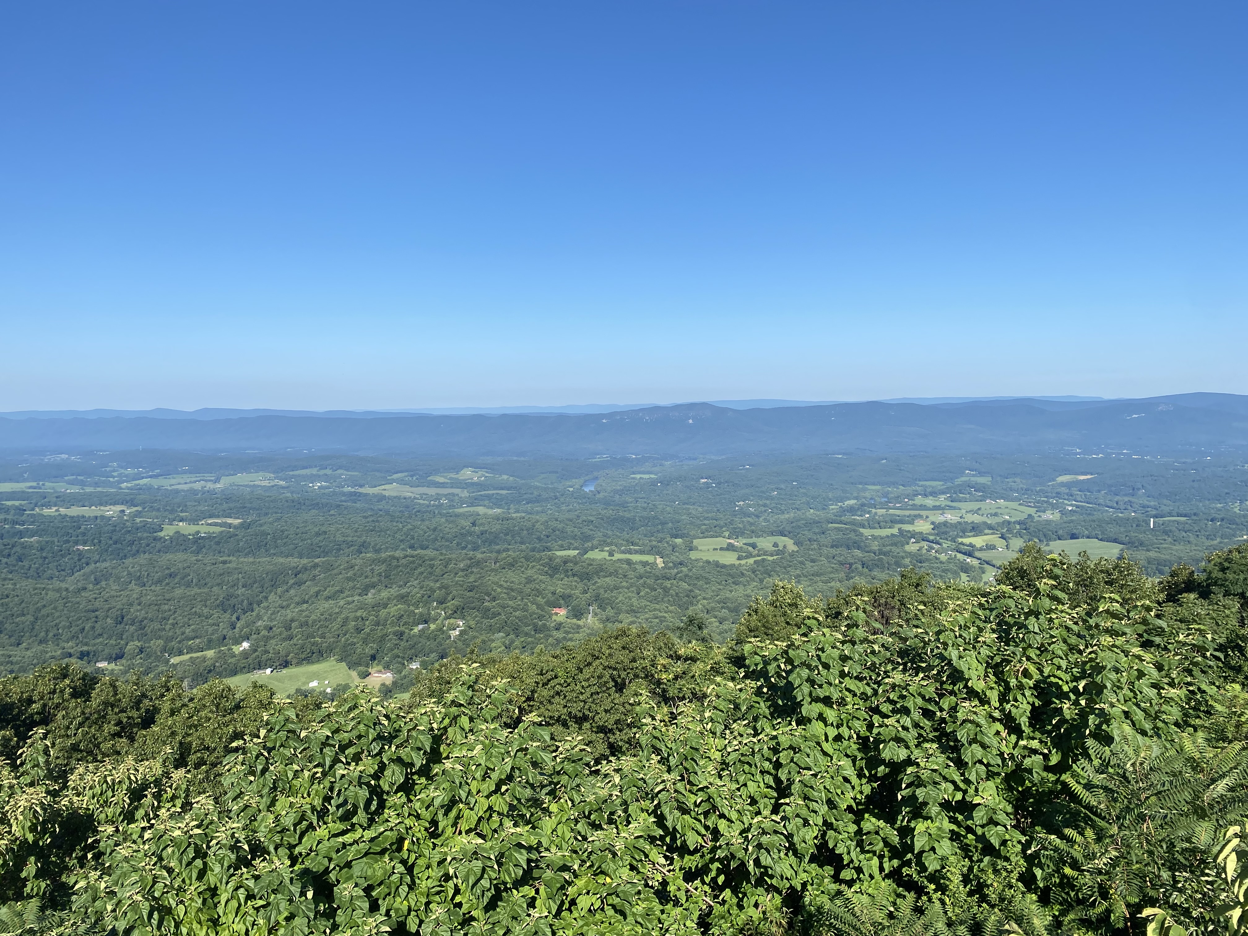
Southbound Skyline Drive ascends to the Dickey Ridge Visitor Center which can be found at 1,940 feet above sea level. Behind the Dickey Ridge Visitor Center, a westward vista of Shenandoah Valley can be found.
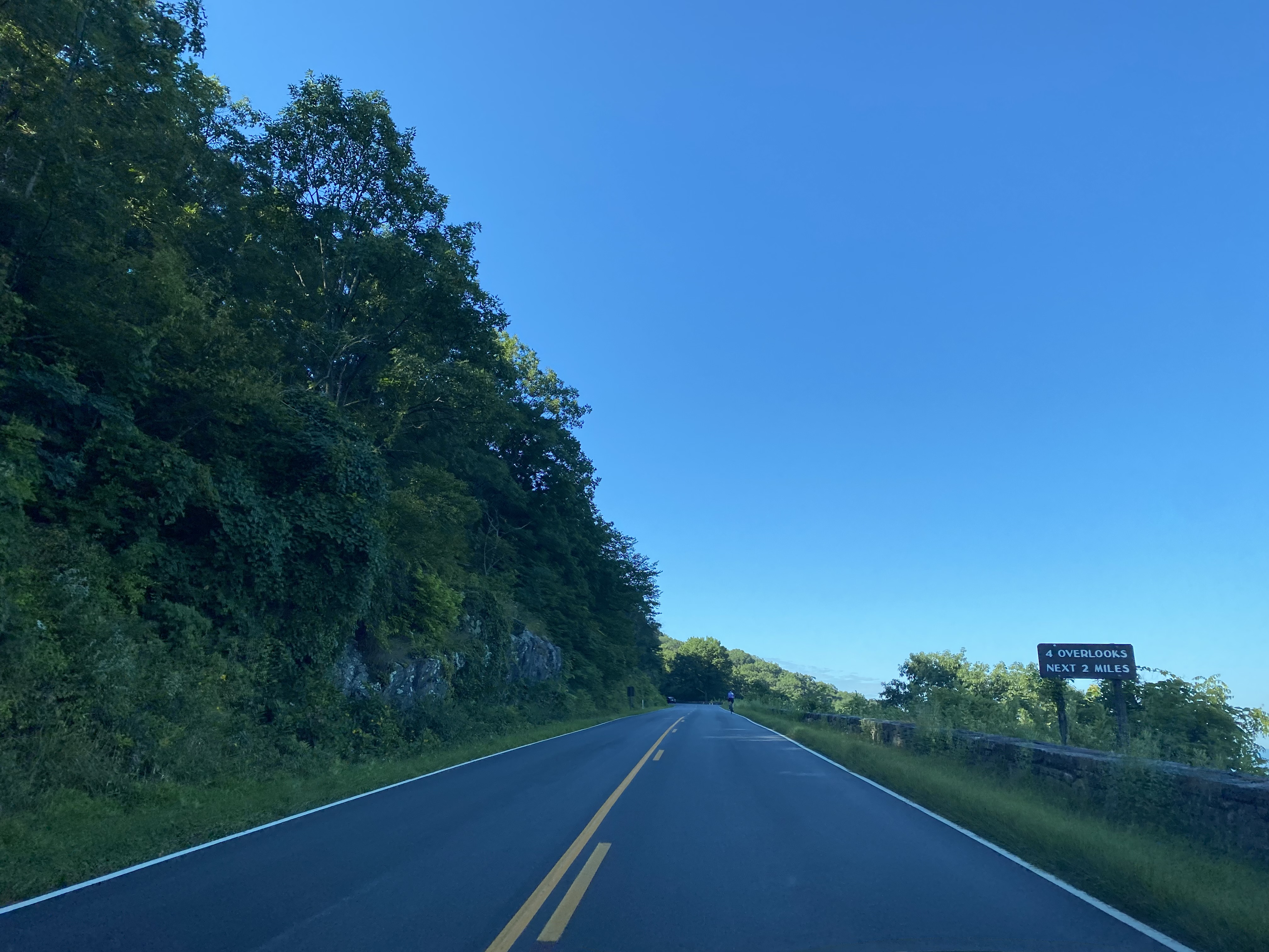
Departing the Dickey Ridge Visitor Center traffic on southbound Skyline Drive is advised 4 miles of vistas of are ahead.
Southbound Skyline Drive passes by the Signal Knob Overlook located at 2,090 feet above sea level.
Southbound Skyline Drive passes by the Gooney Run Overlook located at 2,085 feet above sea level.
Southbound Skyline Drive passes by the Gooney Manor Overlook located at 1,920 feet above sea level.
At approximately Mile Marker 10 southbound Skyline Drive passes through Compton Gap. Compton Gap is located at 2,415 feet above sea level.
Southbound Skyline Drive passes by the Indian Run Overlook which is located at 2,400 feet above sea level.
Southbound Skyline Drive passes by the Jenkins Gap Overlook which is located at 2,355 feet above sea level.
Southbound Skyline Drive passes by the Hogwallow Flat Overlook which is located at 2,665 feet above sea level.
Southbound Skyline Drive passes by the Browntown Overlook which is located at 2,890 feet above sea level.
Southbound Skyline Drive passes by the Range View Overlook which is located at 2,810 feet above sea level.
From the Range View Overlook southbound Skyline Drive begins to straddle the Rappahannock County and Page County towards Mary's Rock near Thornton Gap. Southbound Skyline Drive passes by Gravel Springs Gap which is located at 2,655 feet above sea level.
Southbound Skyline Drive passes by the Gimlet Ridge Overlook which is located at 2,675 feet above sea level.
Southbound Skyline Drive passes by the Mount Marshall Overlook which is located at 2,850 feet above sea level.
Southbound Skyline Drive passes by the Little Devils Stairs Overlook which is located at 3,120 feet above sea level.
Southbound Skyline Drive passes by the Hogback Overlook which is located at 3,385 feet above sea level.
Southbound Skyline Drive passes by the Rattlesnake Point Overlook which is located at 3,105 feet above sea level.
Southbound Skyline Drive passes by Matthews Arm Campground which is found at 2,750 feet above sea level.
Southbound Skyline Drive passes by the Elkwallow Wayside and Picnic Grounds.
Southbound Skyline Drive passes by Jeremys Run Overlook which is located at 2,410 feet above sea level.
Southbound Skyline Drive passes by the Thornton Hollow Overlook which is located at 2,460 feet above sea level.
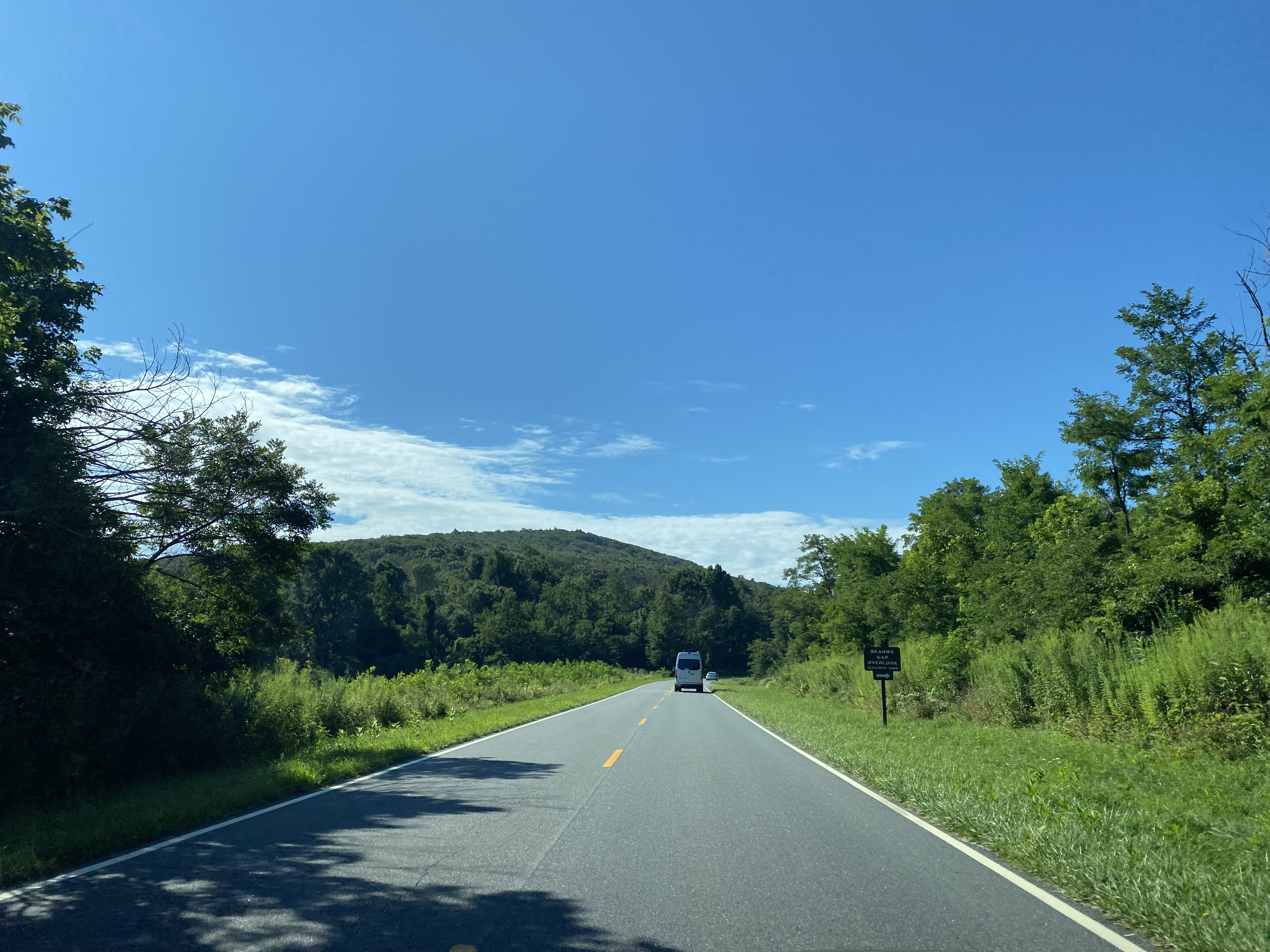
Southbound Skyline Drive passes by the Beahms Gap Overlook which is located at 2,485 feet above sea level.
Southbound Skyline Drive at Mile Marker 30 passes by the Pass Mountain Overlook. The Pass Mountain Overlook is located at 2,460 feet above sea level.
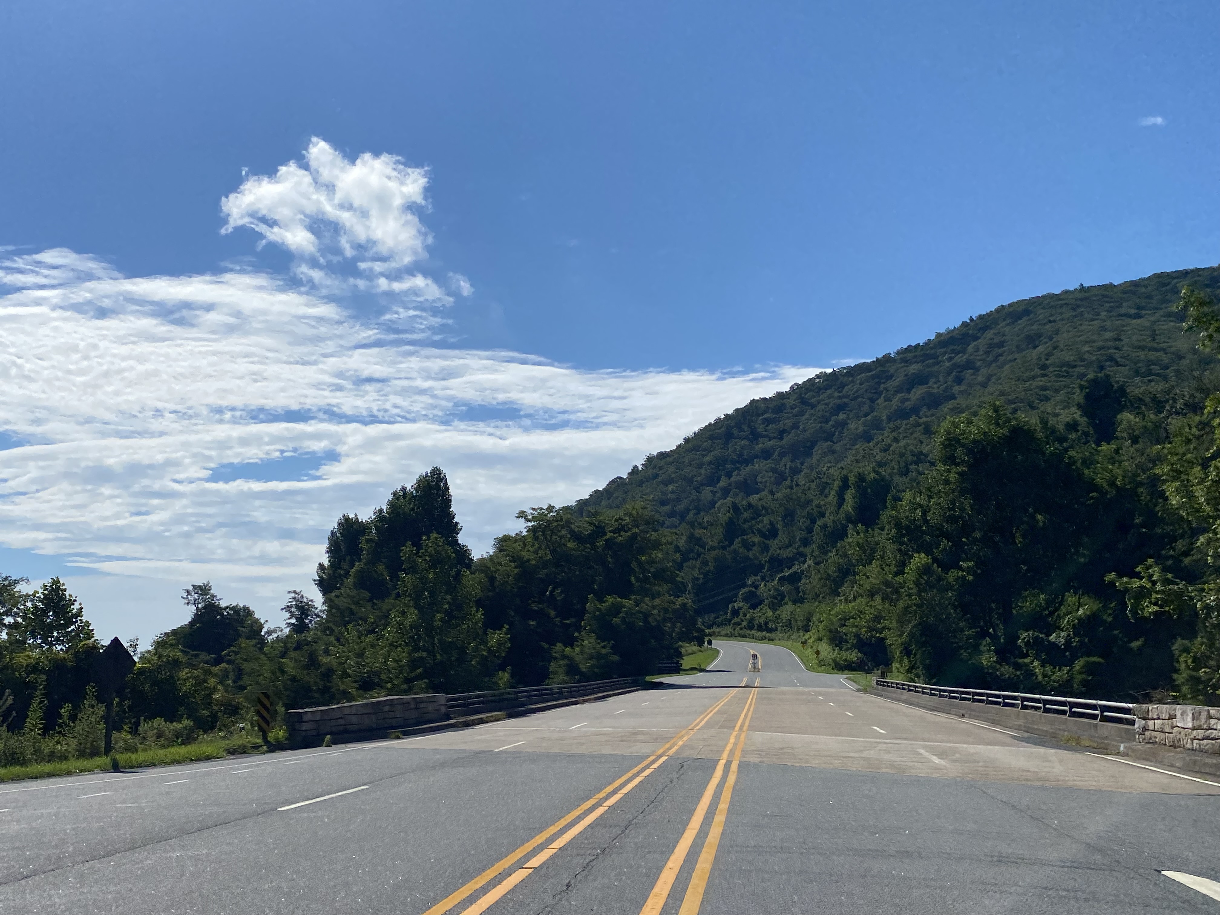
Southbound Skyline Drive intersects US Route 211 at Thornton Gap via an overpass.
At Thornton Gap traffic on Skyline Drive is advised that Skyland is 10 miles to the south whereas US Route 33 is 34 miles away.
Southbound Skyline Drive passes through the Marys Rock Tunnel.
The Marys Rock Tunnel vista is located at 2,840 feet above sea level.
Below are northward views through the Marys Rock Tunnel.
Southbound Skyline Drive passes by the Buck Hollow Overlook which is located at 2,710 feet above sea level.
Southbound Skyline Drive passes by the Hazel Mountain Overlook which is located at 2,770 feet above sea level.
Southbound Skyline Drive passes by the Meadow Spring Parking Area which is located at 2,840 feet above sea level.
Southbound Skyline Drive passes by the Pinnacles Overlook which is located at 3,320 feet above sea level.
Southbound Skyline Drive passes by the Jewell Hollow Overlook which is located at 3,320 feet above sea level.
Southbound Skyline Drive passes by the Pinnacles Picnic Ground.
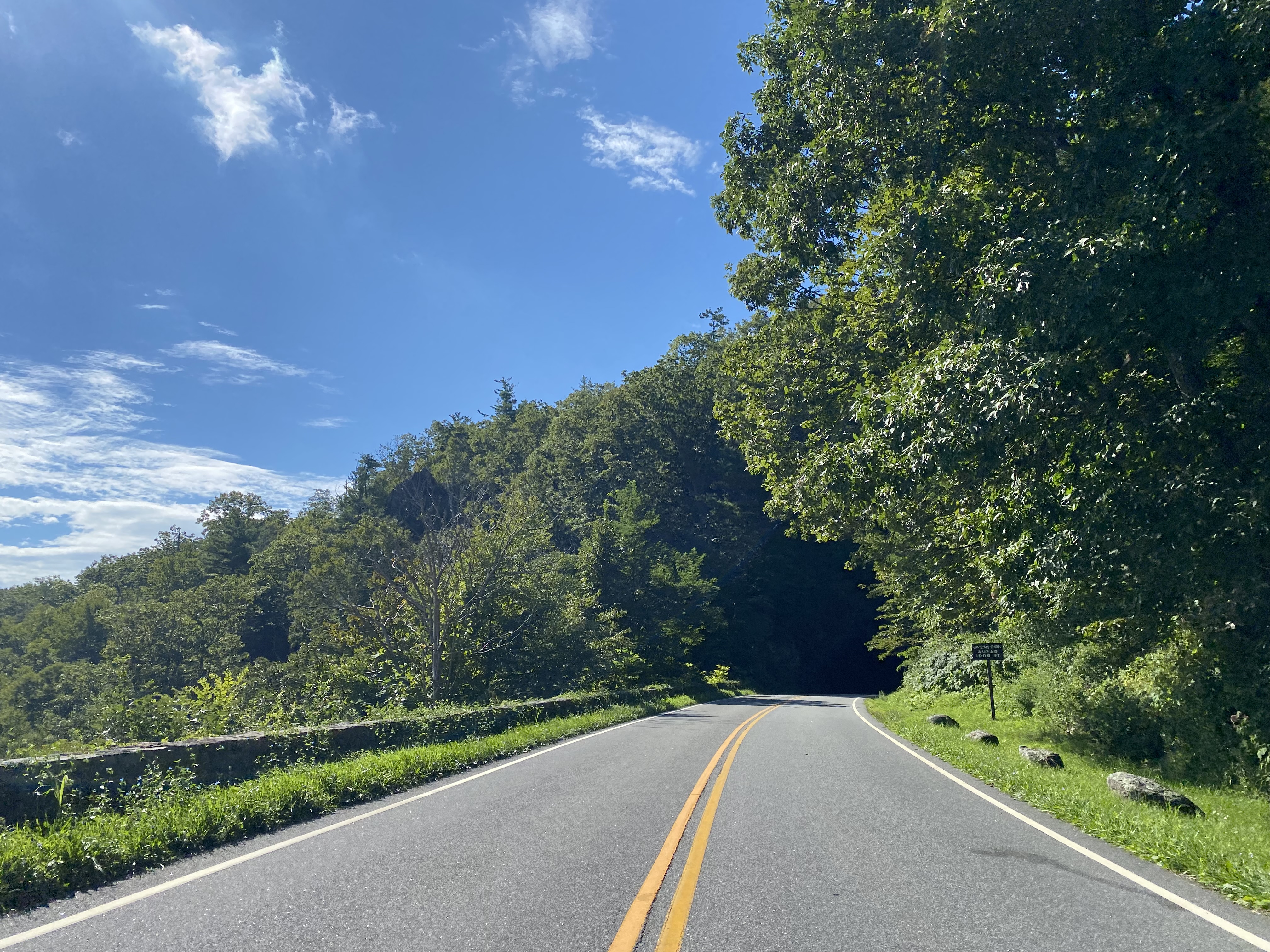
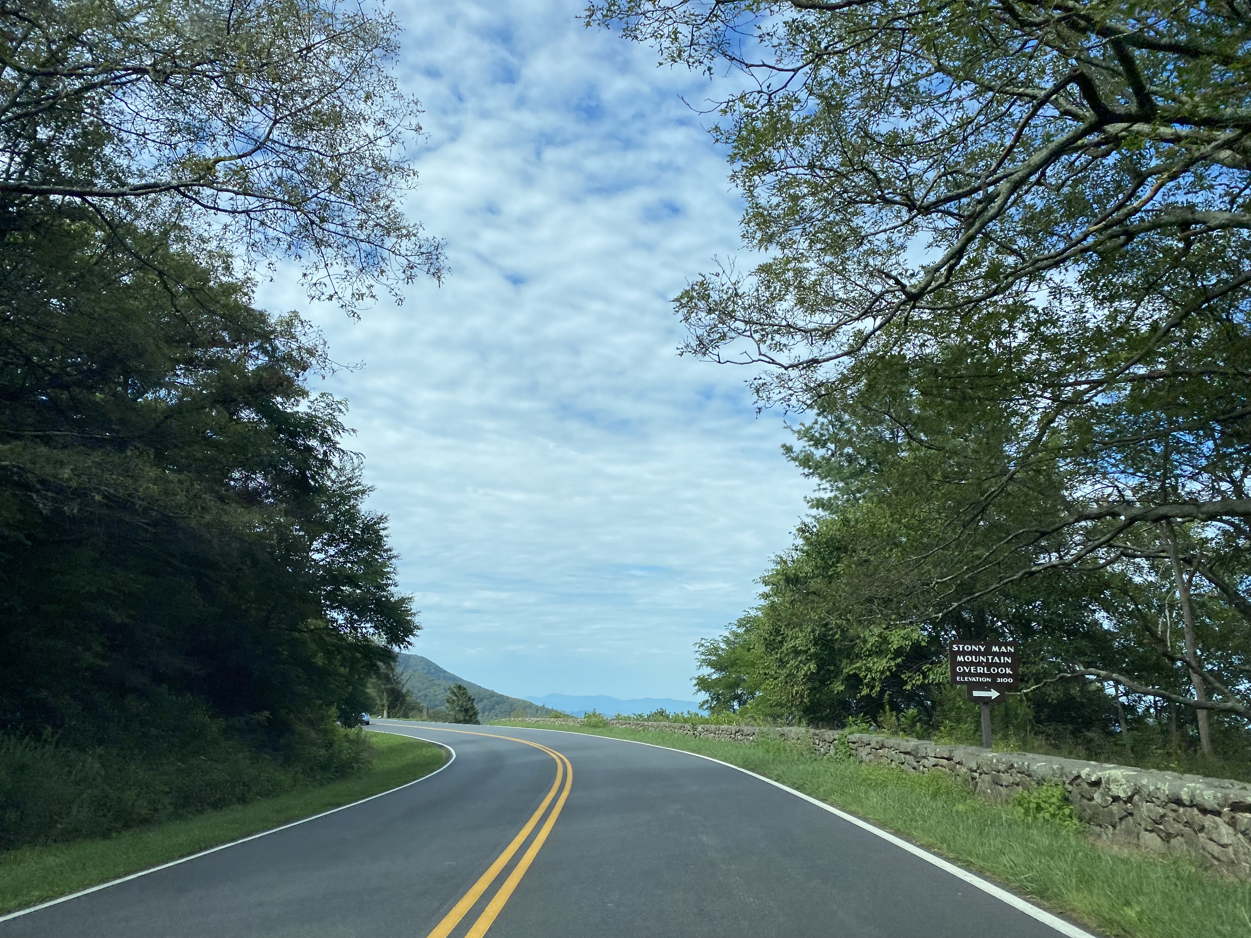
Southbound Skyline Drive passes by the Stony Mountain Overlook which is located at 3,100 feet above sea level.
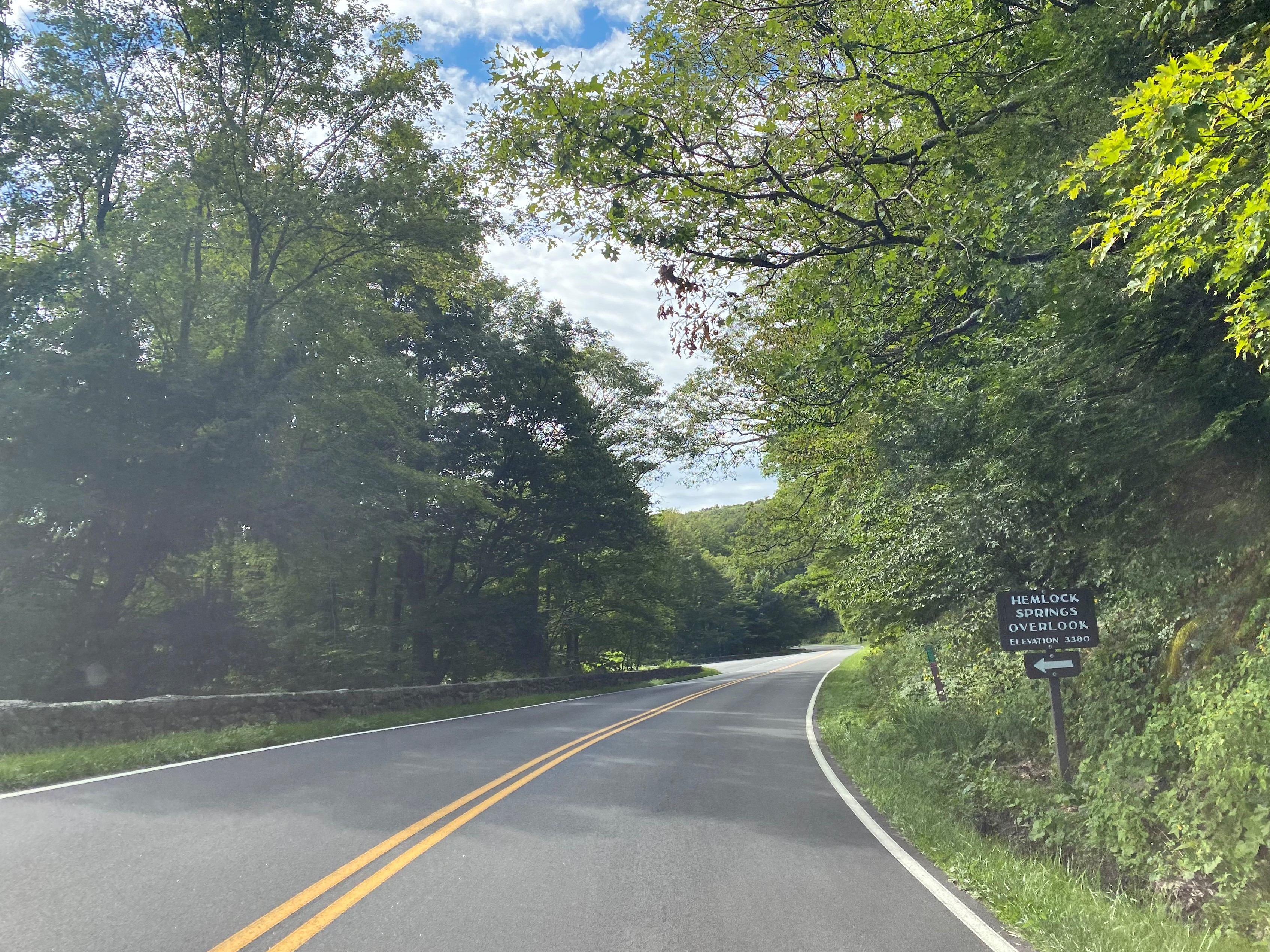
Southbound Skyline Drive passes by the Hemlock Springs Overlook which is located at 3,380 feet above sea level.
Southbound Skyline Drive passes by the Thorofare Mountain Overlook which is located at 3,595 feet above sea level.
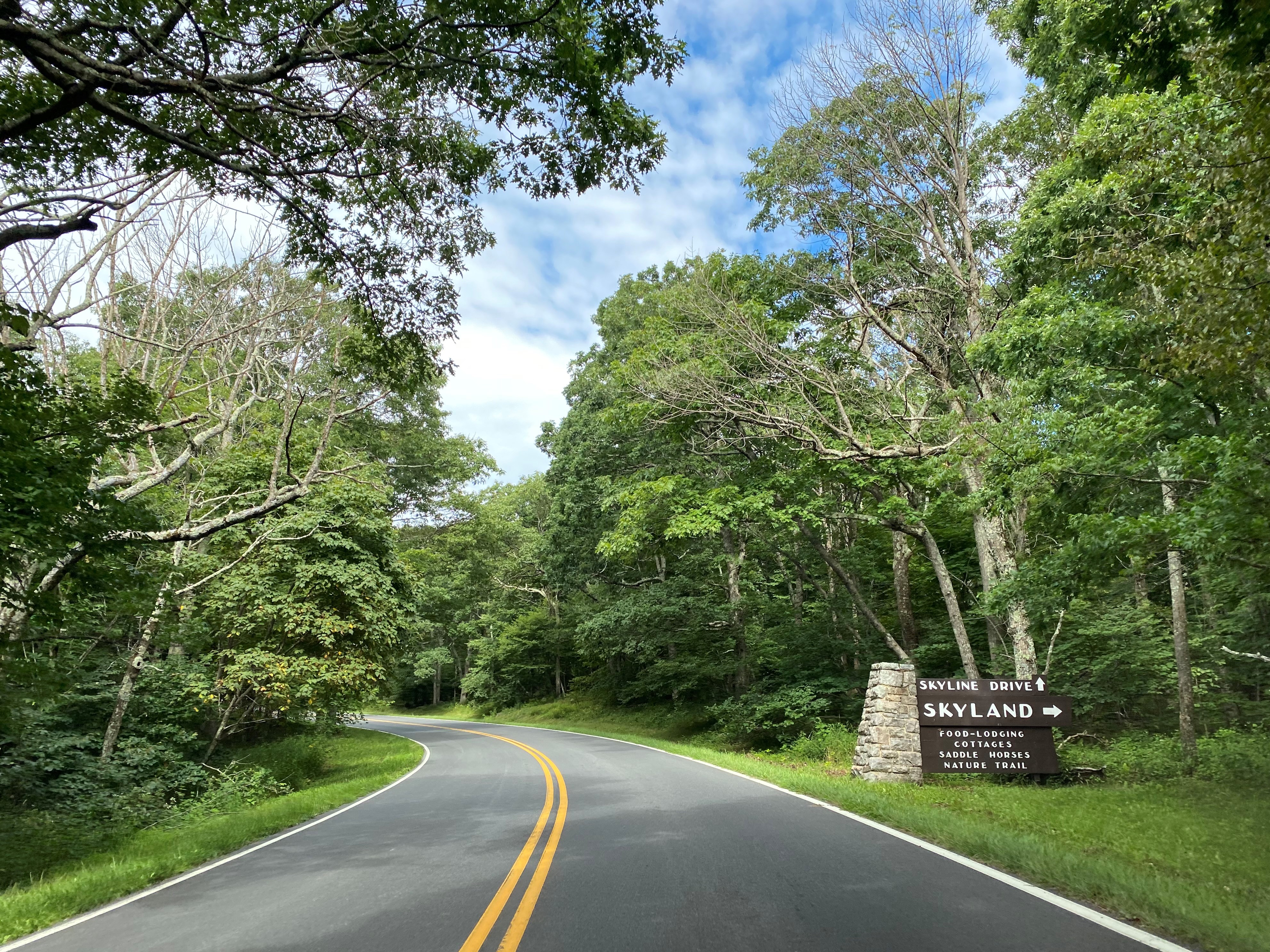
Southbound Skyline Drive intersects the Skyland Upper Loop Road at 3,680 feet above sea level at approximately Mile Marker 41.5. 3,680 feet above sea level is the highest point on the entirety of Skyline Drive.
Skyland predates the establishment of Shenandoah National Park and was founded by George Freeman Pollock during 1895. The Massanutten Lodge was constructed at Skyland during 1911 and since has become a prominent feature of Shenandoah National Park
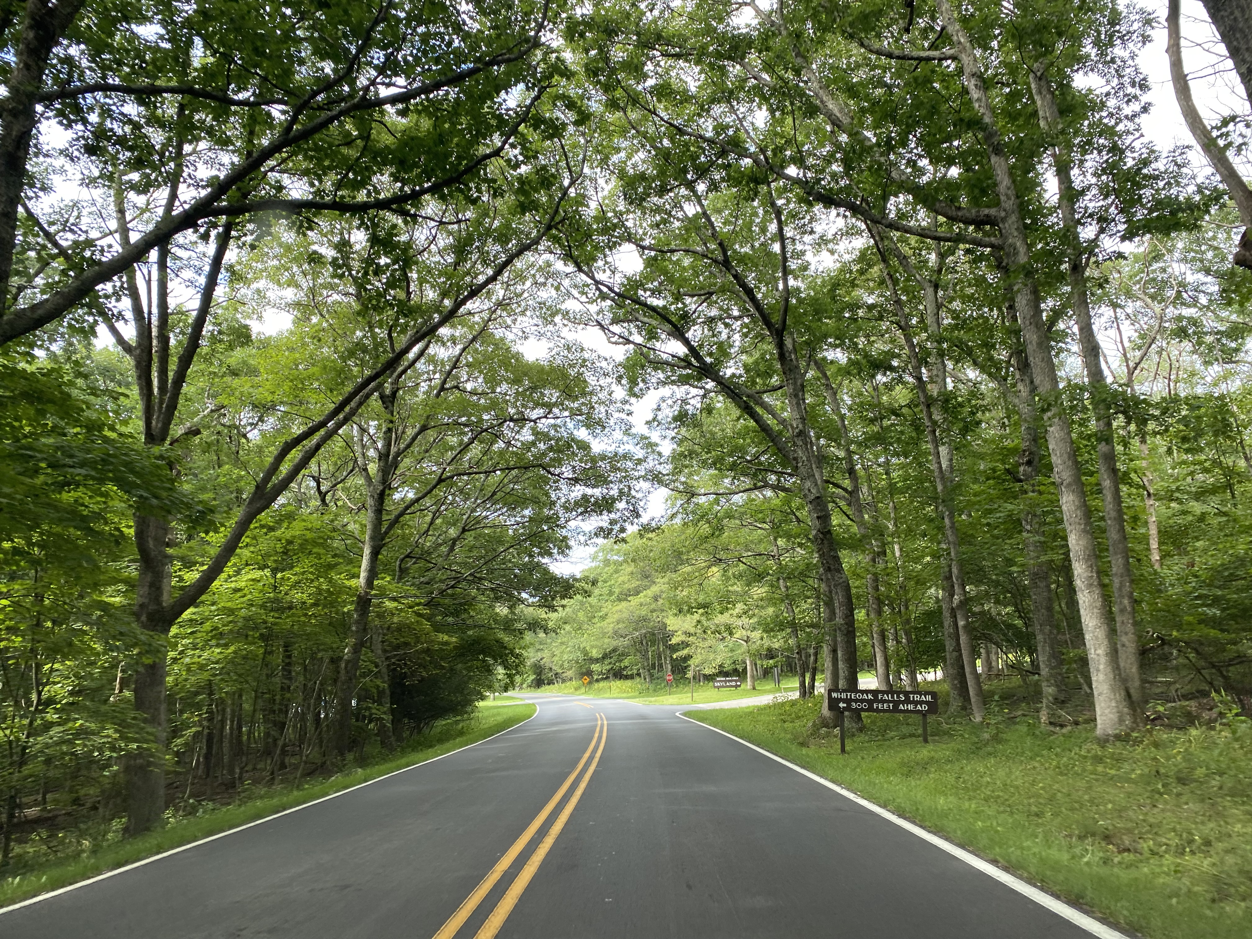
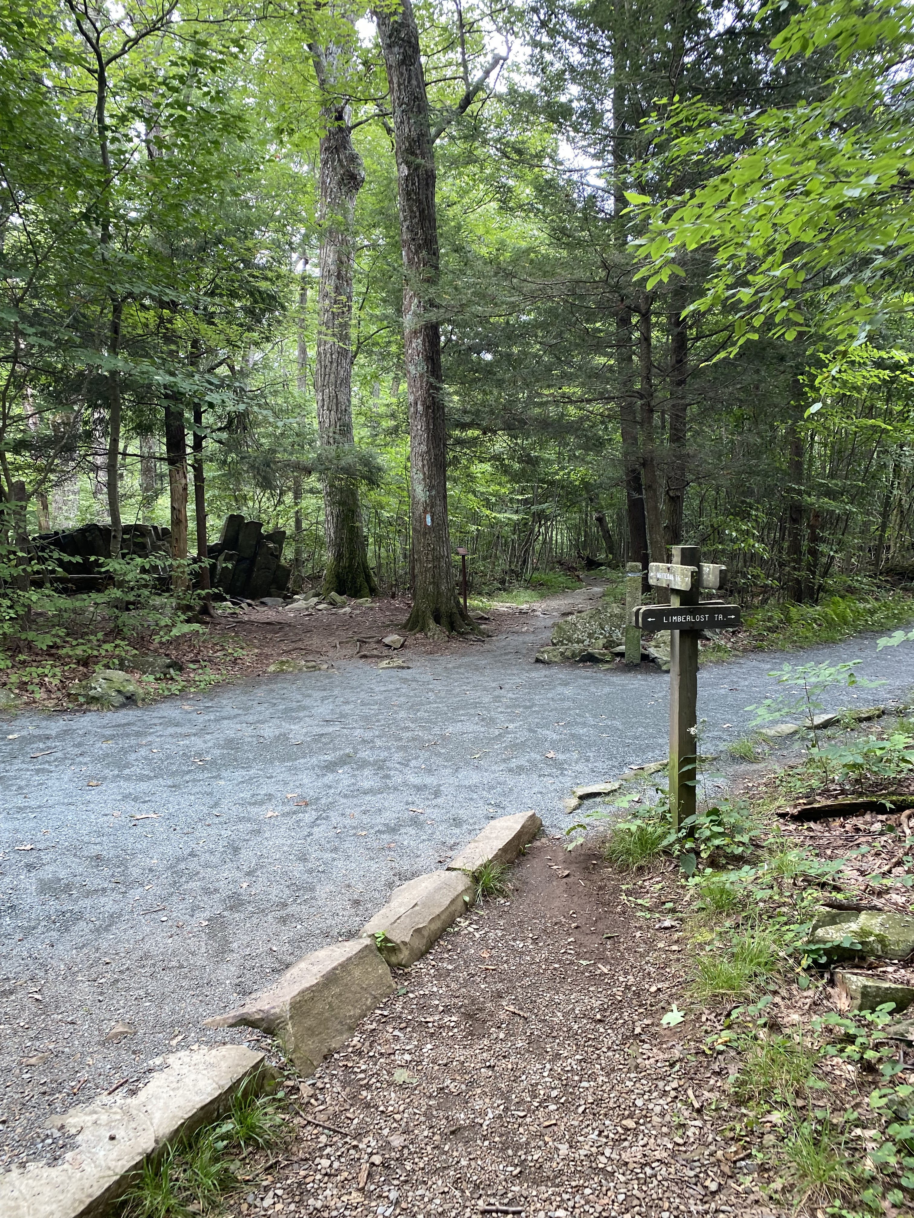
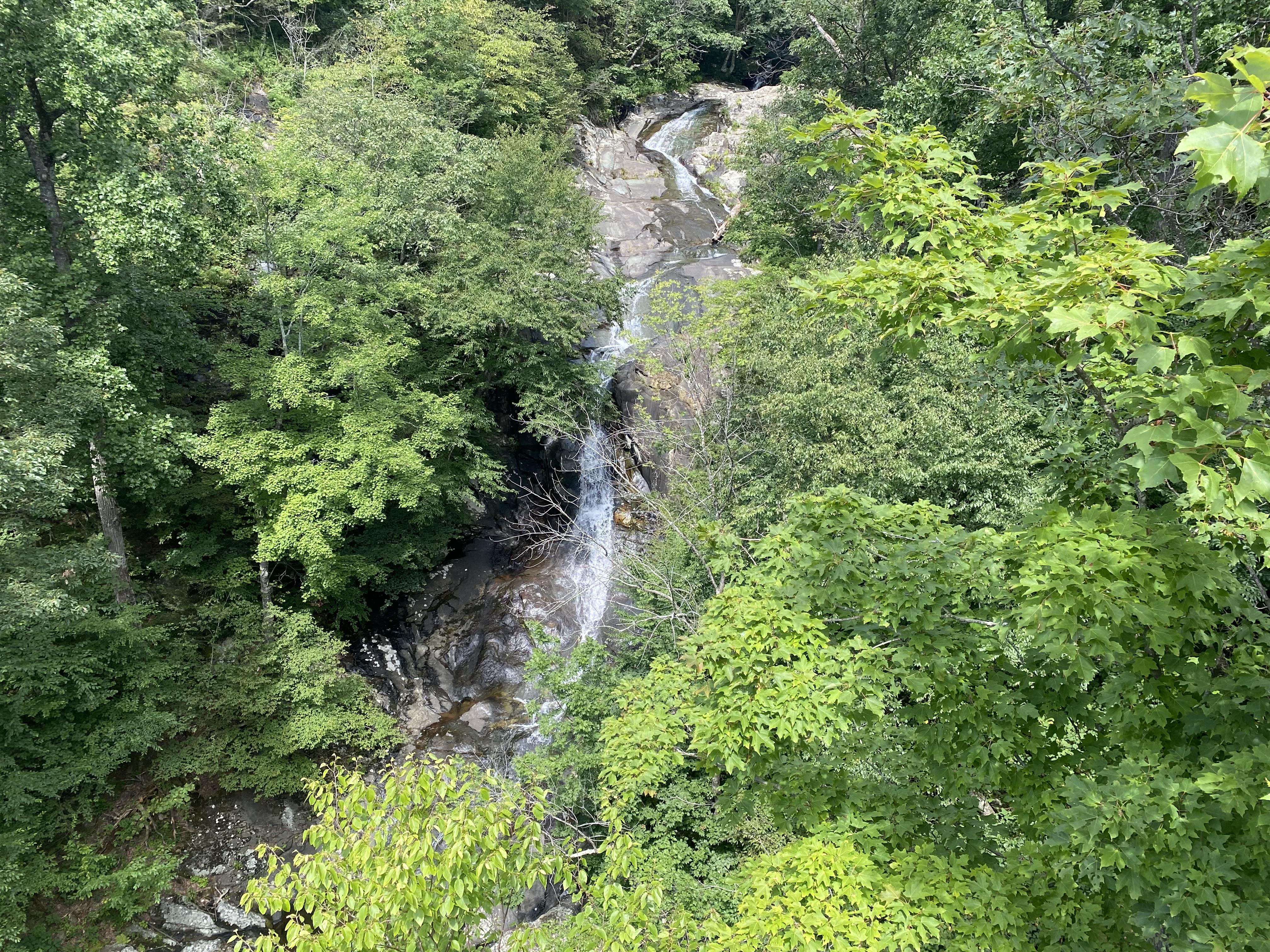
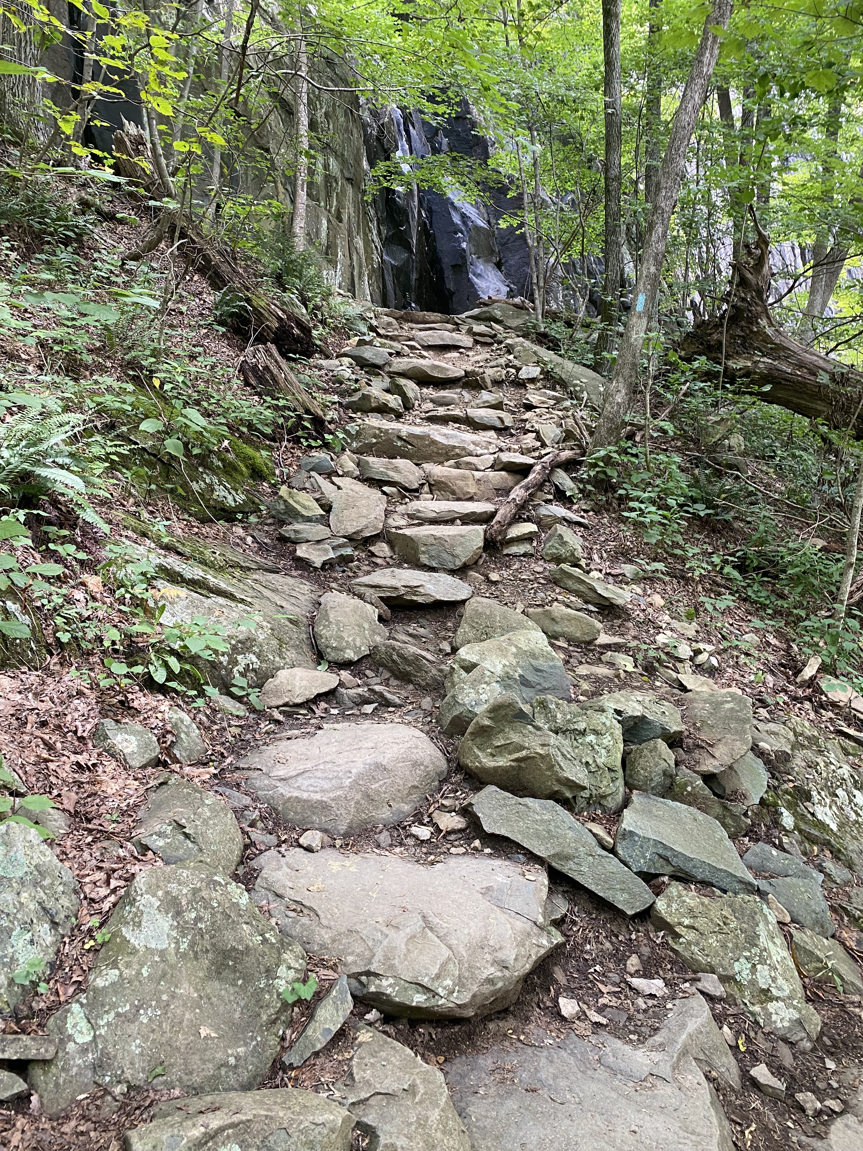
The Whiteoak Falls Trail can be found in the Skyline area at approximately Mile Marker 42.6. The Whiteoak Falls Trail descends from Skyland into the Whiteoak Canyon towards the namesake falls. Whiteoak Canyon was popular with the early era of Skyland and once had a lodge overlooking Upper Whiteoak Falls. The hike to Upper Whiteoak Falls is approximately a 4.6-mile round trip from the trailhead at Skyline Drive and has a descent of approximately 1,000 feet.


































Comments