The Center Leg Freeway of the District of Columbia (former Interstate 95, current Interstate 395 and future Interstate 195)

The Center Leg Freeway is a 1.8-mile corridor which is located in the District of Columbia and presently signed as Interstate 395. The Center Leg Freeway is aligned from the junction of what is presently signed Interstate 695 north to through the Mall Tunnel and 3rd Street Tunnel to US Route 50 at New York Avenue NW. The Center Leg Freeway was part of the original path of Interstate 95 through the District of Columbia prior to it being realigned onto the eastern Capital Beltway. During 1976 the Center Leg Freeway was reassigned as a segment of Interstate 395. During 2021 the Center Leg Freeway was approved to for new designation of Interstate 195. Featured as the blog cover is a view of Center Leg Freeway facing southward toward the Mall Tunnel from E Street NW.

Part 1; the history of the Center Leg Freeway
Note: much of the history of the Center Leg Freeway is sourced from dcroads.net:
The origin of the Center Leg Freeway began with a 1946 National Capital Planning Commission study which recommended a north/south freeway between the planned K Street Freeway to the South Capital Street Bridge. Ultimately no action was taken towards constructing a north/south freeway through the District of Columbia.
During 1955 the Center Leg Freeway reemerged as a part of an 18-mile inner freeway loop proposed De Leuw, Cather & Company. The Center Leg Freeway was conceptualized with two 1.7-mile corridor alternatives. The first alternative was included a freeway which a of cut-and-cover tunnel design for the entire corridor length. The second alternative included a tunnel under the National Mall and an open cut north of Pennsylvania Avenue NW.
The map below (source: Douglas A Willinger) depicts the Center Leg Freeway as proposed by De Leuw, Cather & Company.

On June 29th, 1956, the Federal Highway Aid Act of 1956 was signed into law on the Federal Level. During 1958 the planned Center Leg Freeway was assigned as part of the chargeable mileage of Interstate 95. Interstate 95 as originally planned would have passed through the District of Columbia via the Southwest Freeway, Center Leg Freeway, North Central Freeway and Northeast Freeway.
By 1963 a short stub of the Center Leg Freeway north from the junction of the Southwest Freeway/Southeast Freeway Interchange was completed. On November 1, 1965, a coalition District of Columbia Officials approved the final routing of the Center Leg Freeway. The finalized plan for the Center Leg Freeway included two cut-an-cover tunnels and an otherwise open cover design. Construction of the Mall Tunnel would begin during 1966 and would open to traffic as part of Interstate 95 on November 5, 1973. By the time the Mall Tunnel segment of the Center Leg Freeway was completed the future of Interstate 95 in the District of Columbia was up in the air due to the cancellation of the North Central Freeway and Northeast Freeway earlier in the year.
During January 1975 a contract to construct the 3rd Street Tunnel was awarded by the District of Columbia. Construction of the 3rd Street Tunnel would initially be slowed due to a Federal Lawsuit against the general contractor for discriminatory against minority owned sub-contractors.
On October 7, 1975, the District of Columbia along with the states of Virginia and Maryland submitted an application to the American Association of State Highway Officials to renumber existing Interstate 95 inside the Capital Beltway as Interstate 395. Interstate 95 was to be relocated to the eastern Capital Beltway and would serve as a bypass of the District of Columbia. The American Association of State Highway Officials considered the application for Interstate 395 inside the Capital Beltway on November 11, 1975, conditional approval was given.


A series of letters dated May-June 1976 between the Virginia Department of Highways & Transportation and the American Association of State Highway Officials noted the Federal Highway Administration had previously designated Interstate 395 over the corridor of the Richmond-Petersburg Turnpike. The Virginia Department of Highways & Transportation Chief Engineer advised he was unaware the Federal Highway Administration had final numbering authority over the Interstate Highway System. The Virginia Department of Highways & Transportation Chief Engineer noted he would work with the Federal Highway Administration to free up the Interstate 395 for the Southwest and Center Leg Freeways.


A letter from the American Association of State Highway Officials dated July 28, 1976, to the Deputy Commission of Viriginia Department of Highways & Transportation noted the Federal Highway Administration withdrew their objection to applying Interstate 395 to what had been Interstate 95 inside the Capital Beltway. With the withdrawal of objection of the Federal Highway Administration the designation of Interstate 395 was applied to the Southwest Freeway and Center Leg Freeway inside the Capital Beltway.

The tubes of the 3rd Street Tunnel of the Center Leg Freeway were largely completed by 1978 when the District of Columbia ran out of construction funds. During 1984 District of Columbia Mayor Marion Barry earmarked a $6,500,000 budget surplus to complete the 3rd Street Tunnel. The northbound lanes of the 3rd Street Tunnel were opened to traffic on December 15, 1986, whereas the southbound lanes would open on February 6, 1987. With the opening of the 3rd Tunnel the Center Leg Freeway was completed between New York Avenue NW and the Interstate 695 interchange.
The Center Leg Freeway and the south portal of the Mall Tunnel can be seen during 1992 in a Library of Congress photo.


From E Street NW the north portal of the Mall Tunnel on the Center Leg Freeway can be observed facing south.
Traffic departing Union Station is directed to follow westbound H Street NE to reach the Center Leg Freeway.

Presently the Center Leg Freeway and Interstate 395 have a surface alternate signed for when the tunnels are closed. Interstate 395 Alternate below can be seen transitioning from southbound 3rd Street NW via righthand turn onto westbound F Street NW.

Below the entrance to Interstate 395/Center Leg Freeway southbound from the intersection of 3rd Street NW/D Street NW can be observed. The entrance ramp passes directly under the Frances Perkins Building into the Mall Tunnel. The Frances Perkins Building was completed atop the Mall Tunnel during 1975.


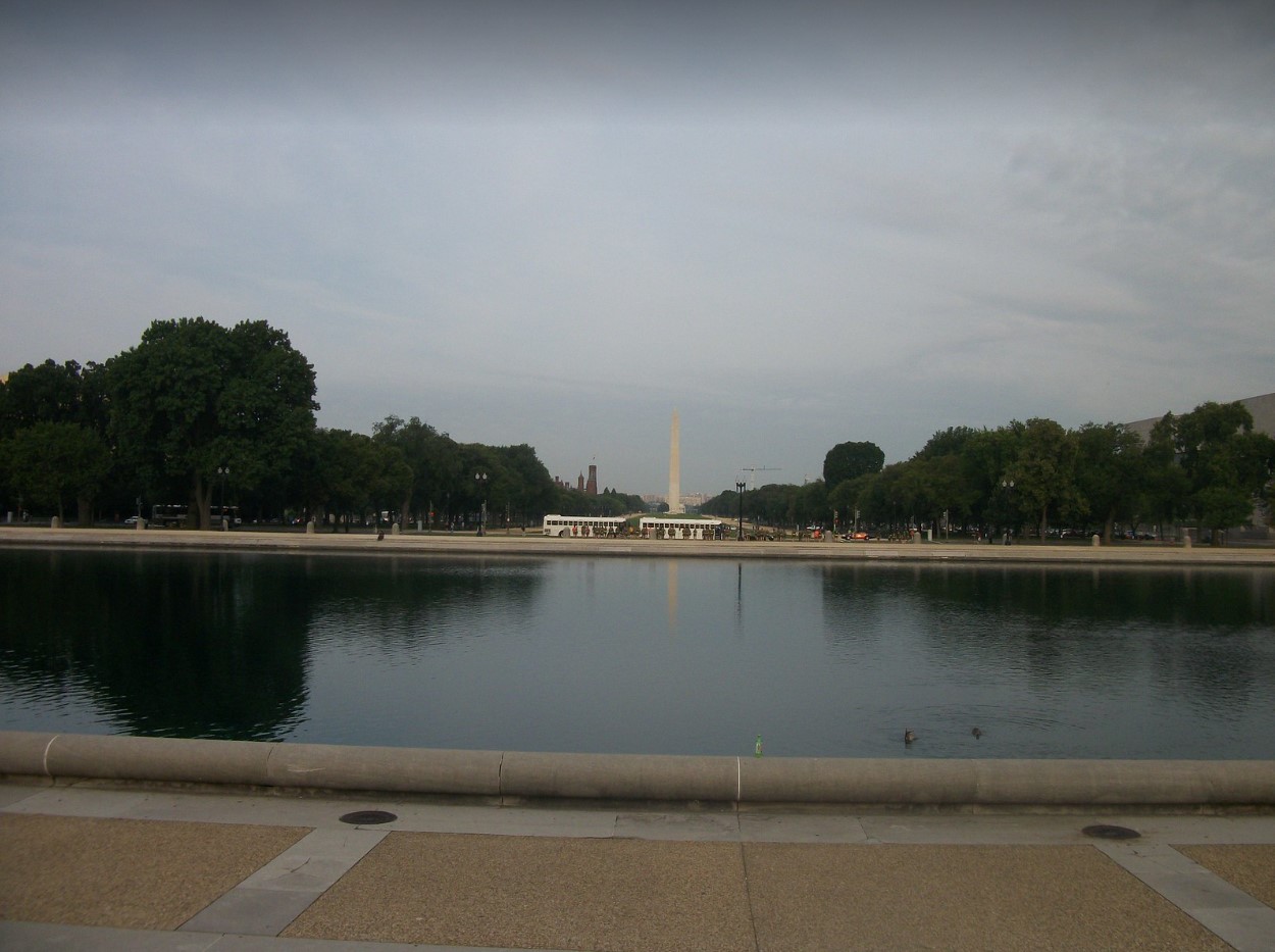
The Capitol Reflecting Pool offers no visual indication of the Center Leg Freeway and Mall Tunnel directly below the surface. The current Capital Reflecting Pool was completed during 1971.
Below Interstate 395 and the Center Leg Freeway emerge from the Mall Tunnel towards the junction with Interstate 695 at the Southeast Freeway. Interstate 395 continues southward via the Southwest Freeway.


Comments