The Baltimore Harbor Tunnel is a component of Interstate 895 in the city of Baltimore, Maryland. The Baltimore Harbor Tunnel spans a distance of 7,650 feet under the waters of the Patapsco River. The Baltimore Harbor Tunnel opened to traffic on November 29, 1957, as part of the Harbor Tunnel Thruway. The Baltimore Harbor Tunnel and Harbor Tunnel Thruway were designated as Interstate during 1979. Prior to the completion of Interstate 95 and the Fort McHenry Tunnel during 1985 the Baltimore Harbor Tunnel was part of the primary route for north/south traffic passing through Baltimore.
Part 1; the history of the Baltimore Harbor TunnelDuring 1938 and 1944 the Maryland State Road Commission conducted feasibility studies regarding constructing a bridge over the Patapsco River southeast of Baltimore Harbor. During 1947 the Maryland General Assembly passed an act to allow financing for the Patapsco River Crossing to be funded from toll revenues from the Potomac River Bridge, Susquehanna River Bridge and incomplete Chesapeake Bay Bridge. A feasibility study during 1953 examined three potential crossings for the Patapsco River crossing and considered if it should be a bridge or tunnel. During 1954 the Maryland State Road Commission opted to construct the Patapsco River Crossing as a tunnel between Baltimore neighborhoods of Canton and Fairfield.
Construction of the Patapsco River Tunnel would commence on April 7, 1955. The Patapsco River Tunnel was designed by New York engineering firm Signstad & Baillie. The Patapsco River Tunnel was constructed out of 21 segments of 310-foot-long tunnel. The first segment of the Patapsco River Tunnel was sunken into place on April 11, 1956.
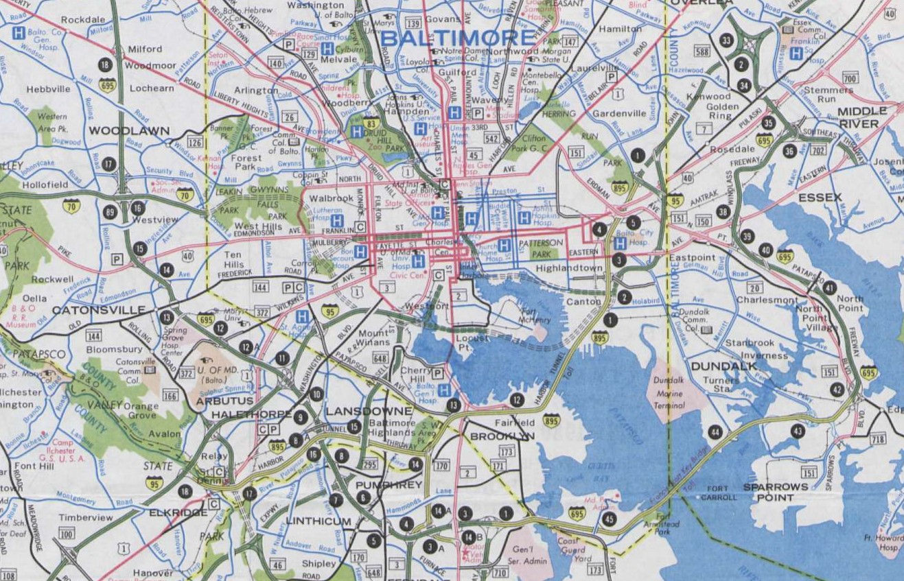
The planned routing of the Patapsco River Tunnel can be seen on the 1956 Shell Highway Map of Baltimore.
The Patapsco River Tunnel segments were covered with rock fill via a cut and cover method during construction. The Patapsco River Tunnel would be rebranded as the Baltimore Harbor Tunnel upon being opened to traffic on November 29, 1957. The Baltimore Harbor Tunnel was part of the initial segment of the Harbor Tunnel Thruway between US Route 40/Pulaski Highway south to the planned Glen Burnie Bypass. The Baltimore Harbor Tunnel and Harbor Tunnel Thruway permitted a bypass of downtown Baltimore and 51 traffic lights.
The completed Baltimore Harbor Tunnel and initial segment of the Harbor Tunnel Thruway can be seen on the 1961 United States Geological Survey Map of Baltimore.
During 1961 the Harbor Tunnel Thruway was extended north to the Northeast Expressway (Interstate 95). During 1973 the Harbor Tunnel Thruway was connected to Interstate 95 south of Baltimore. Given Interstate 95 through Baltimore had not yet been completed the Harbor Tunnel Thruway was the de facto limited access highway through Baltimore. The Baltimore Harbor Tunnel and entire Harbor Tunnel Thruway were designated as non-chargeable Interstate 895 during 1979.
The Fort McHenry Tunnel opened during November 23, 1985, which completed Interstate 95 through Baltimore. The completion of the Fort McHenry Tunnel shifted most of the traffic through Baltimore off Interstate 895 and the Baltimore Harbor Tunnel.
Part 2; a drive on Interstate 895 through the Baltimore Harbor Tunnel
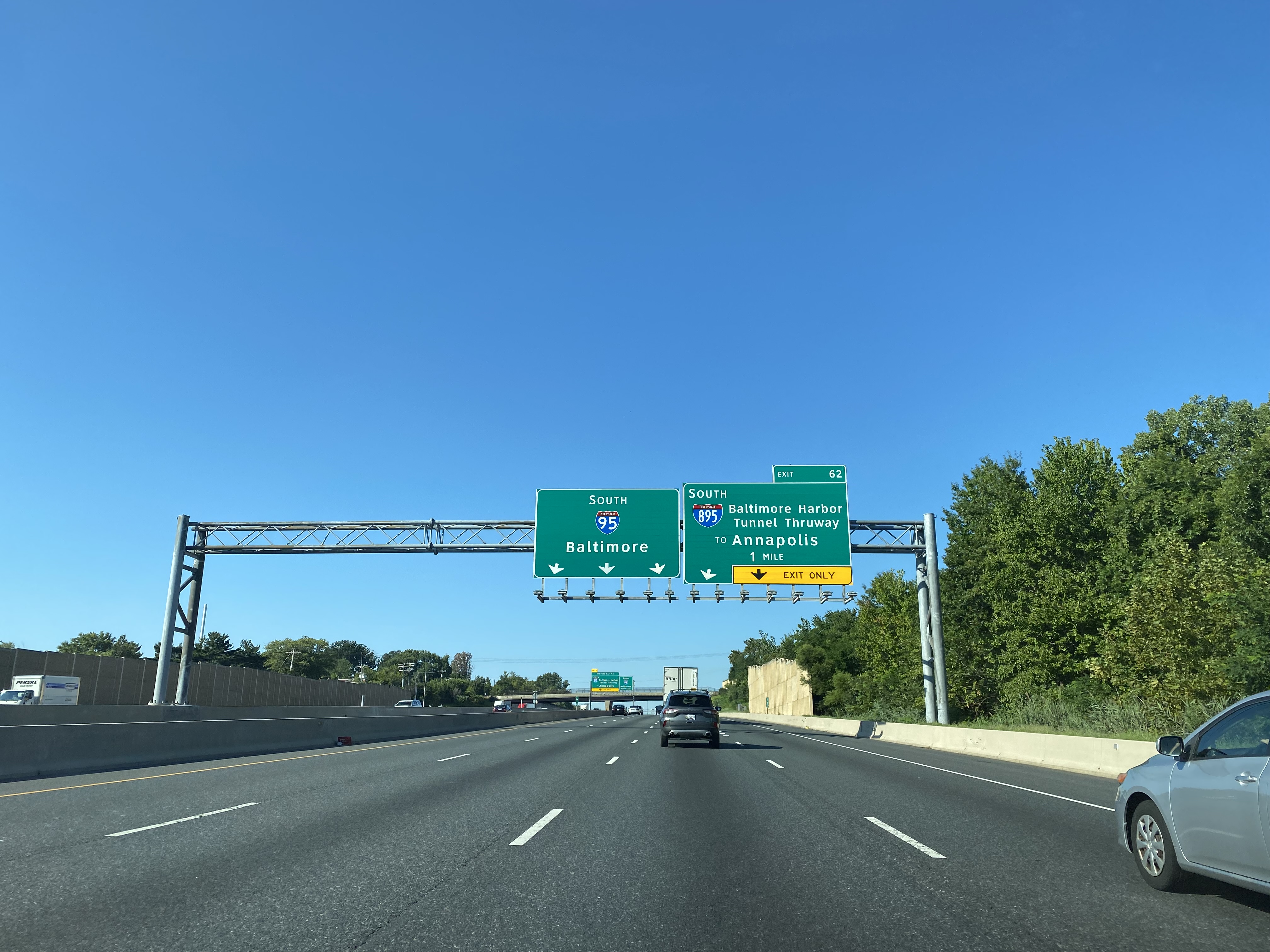
Interstate 895 southbound can be accessed from Interstate 95 southbound Exit 62 at the eastern city limit of Baltimore.
Interstate 895 southbound Exit 14 accesses Moravia Road.
Interstate 895 southbound Exit 12 accesses Lombard Street which is last exit before the Baltimore Harbor Tunnel toll. Traffic is advised of the $3.00 toll for E-Zpass users ahead through the Baltimore Harbor Tunnel.
Interstate 895 southbound crosses under Interstate 95 and enters the Baltimore Harbor Tunnel.
Upon emerging from the Baltimore Harbor Tunnel, Interstate 895 passes through a cashless toll gantry. The pay-by-mail price to use the Baltimore Harbor Tunnel is noted on signage to be $6.00.
Interstate 895 southbound Exit 8A and 8B access Frankfurst Avenue.
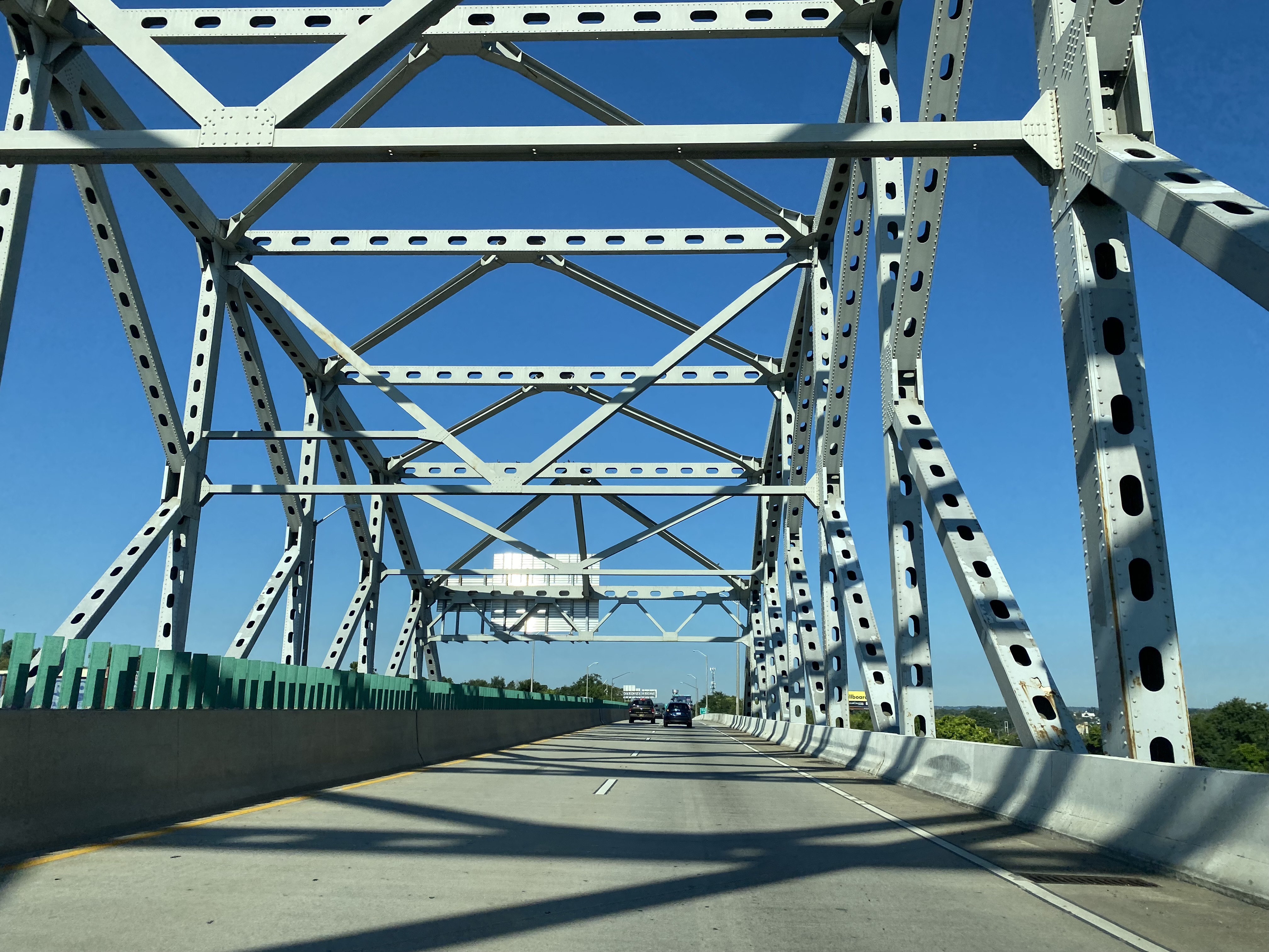
Interstate 895 southbound crosses over a CSX Transportation railroad yard via a K-Truss Bridge and approaches Exit 7. Interstate 895 Exit 7 is signed as accessing Potee Street.
Interstate 895 southbound enters Brooklyn Park and junctions the unsigned Interstate 895A at Exit 6. Interstate 895A exit signage directs traffic to Interstate 97 and Maryland Route 2.
Interstate 895 southbound crosses the Patapsco River a second time and enters Lansdowne. Interstate 895 intersects Maryland Route 295/Baltimore-Washington Parkway at Exit 4.


Comments