
The Middle Bar Bridge is an iron truss span located on Mokelumne River in the foothills of the Sierra Nevada Mountains. The Middle Bar Bridge is one of the oldest highway corridors in California having originated as the connecting road between Jackson to Paloma. The Middle Bar Bridge sits at the location of what was the placer mining town of Middle Bar. The current Middle Bar Bridge is the fourth structure to span the Mokelumne River and was constructed during 1912. The Middle Bar Bridge presently connects Middle Bar Road of Amador County to that of Gwin Mine Road of Calaveras County.

As noted in the intro the 1912 Middle Bar Bridge is located at the site of what was once the placer mining community of Middle Bar. According to CalaverasHistory.org the site of Middle Bar and the Mokelumne River was visited by an expedition party led by Colonel Johnathan Stevenson during 1848. The Stevenson expedition conducted some minor placer mining during 1848 before departing. During 1849 the site of what would become Middle Bar was prospected by Mexican Miners led by Don Andreas Pico. Placer mining endeavors were profitable enough that the mining community of Middle Bar emerged during 1850. At the time Middle Bar was founded it was located entirely within Calaveras County.
The Mokelumne River at the establishment of Middle Bar was bridged by Gambis Ferry and Page Ferry. During 1851 the first Middle Bar Bridge was constructed over the Mokelumne River by J.W. McKinney and Abraham Houghtailing. The original Middle Bar Bridge was quickly established as the primary stage route which connected Sacramento to Mokelumne Hill. During late year 1852 the original Middle Bar Bridge was washed away by flooding on the Mokelumne River. A ferry service operated by McKinney and Houghtailing was pressed into service for a short time while the second Middle Bar Bridge was constructed.
Amador County would split from the northern segment of Calaveras County on May 1, 1854. The Mokelumne River was used as the new boundary for Calaveras County and Amador County. The creation of Amador County split the community of Middle Bar into two counties given its location on the Mokelumne River. The second Middle Bar Bridge can be seen as the primary highway between Jackson and Mokelumne Hill within Calaveras County on the 1857 Britton & Rey's Map of California.

By the early 1860s much of the placer claims at Middle Bar had been thoroughly worked which led to a decline in the community. The second Middle Bar Bridge had been already surpassed in popularity by a structure which had been built upriver at Big Bar roughly at the location of future California State Route 49. The second Middle Bar Bridge would be destroyed by flooding during the winter of 1861-62. Given the Big Bar Bridge also washed away it was prioritized for replacement over Middle Bar. Bridge. The highway through Middle Bar further declined to a secondary route which was bridged by ferry services over the Mokelumne River. The highway through Middle Bar can be seen on the 1882 Bancroft's Map of California and Nevada.

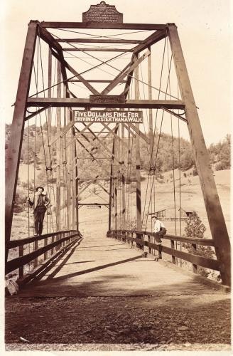
The Gwin Mine had been founded in 1849 south of Middle Bar at Rich Gulch of Calaveras County. The history of the Gwin Mine is heavily tied to the community of Paloma. As mining technology in California improved the Gwin Mine became to prosper. The emergence of the Gwin Mine justified construction of the third Middle Bar Bridge which was completed in 1895. Unlike the previous two iterations the third Middle Bar Bridge was an iron trust design. The 1895 Middle Bar Bridge (courtesy CalverasHistory.org and the Mokelumne Hill History Society) can be viewed below.

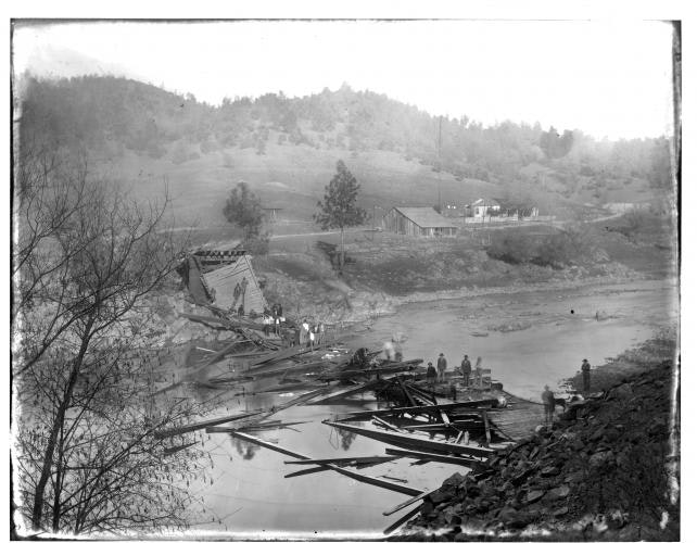
The Gwin Mine closed in 1908 but was occasionally worked through to 1946 due to the first two World Wars. The third Middle Bar Bridge was remained regular use as a connecting road from Jackson to Paloma. The third Middle Bar Bridge was destroyed by way of a cattle drive in 1911 which overloaded the structure (photo which can be viewed here). Despite the closure of the Gwin Mine and final decline of Middle Bar a new truss span over the Mokelumne River was constructed during 1912. The 1912 Middle Bar Bridge was constructed by the Clinton Bridge & Iron Works of Clinton, Iowa and is 204.1 feet long.
The 1912 Middle Bar Bridge can be seen on the 1914 Punnett Brothers Map of Calaveras County. Notably Gwin Mine Road on the 1914 Map of Calaveras County as a trail south of the Middle Bar Bridge to Paloma.

In 1929 the site of the 1912 Middle Bar Bridge would be calmed by the creation of Pardee Dam downstream on the Mokelumne River. The survival of the 1912 Middle Bar Bridge was likely ensured for over a century by the calming effects on the Mokelumne River by Pardee Dam. The Middle Bar Bridge, Middle Bar Road and Gwin Mine Road can be seen on the 1935 Division of Highways Map of Calaveras County. The Sutter Creek News (courtesy CalaverasHistory.org) would report Middle Bar Road and Gwin Mine Road were paved during 1941.

The 1912 Middle Bar Bridge was for a time endangered when East Bay Municipal Utility District proposed expanding Pardee Dam. The East Bay Municipal Utility District Board of Supervisors ultimately voted to not expand Pardee Dam on April 24, 2012.
Part 2; a drive from Jackson to Paloma via the 1912 Middle Bar Bridge
Upon departing Jackson southbound traffic on California State Route 49 can access the 1912 Middle Bar Bridge via Middle Bar Road. Middle Bar Road is easy to spot given a California Historical Marker directs traffic towards Middle Bar.


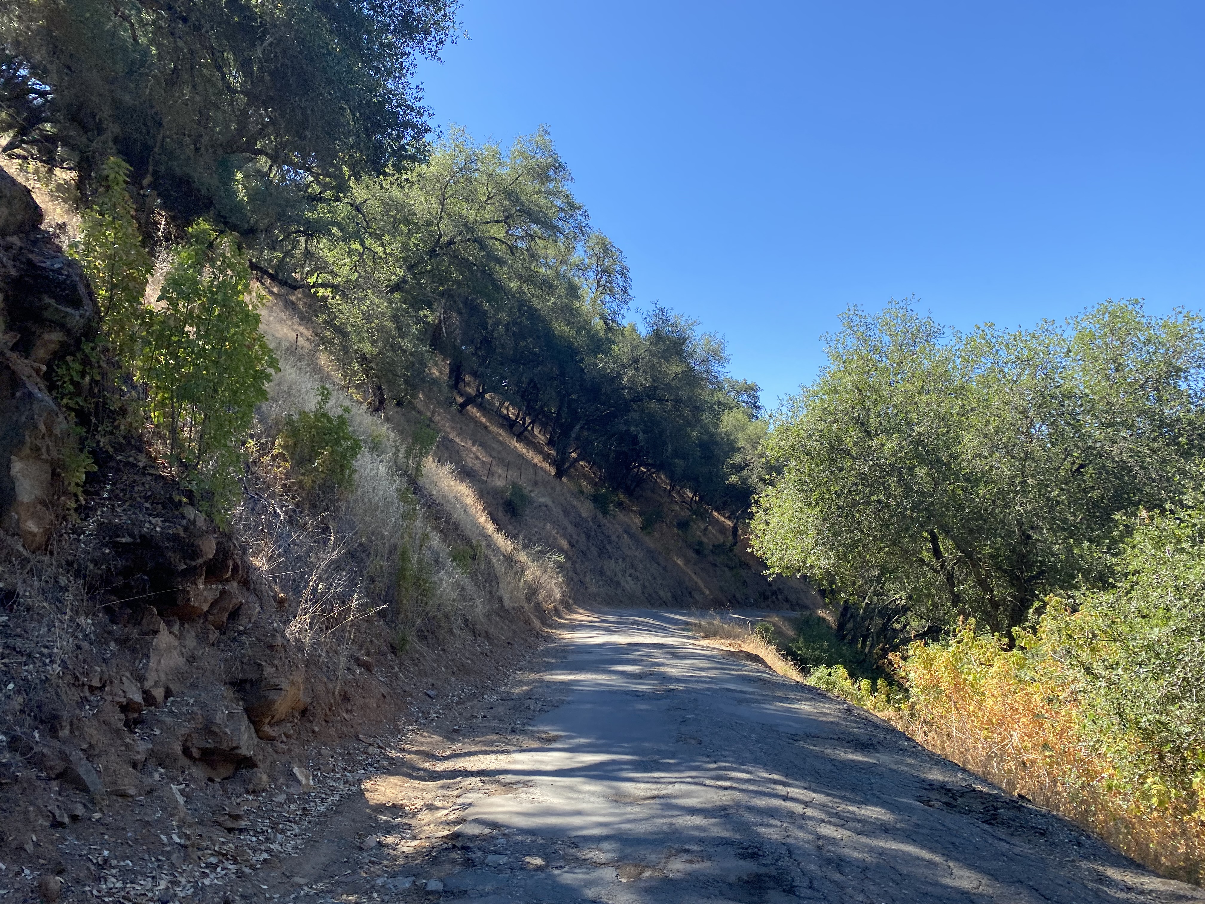
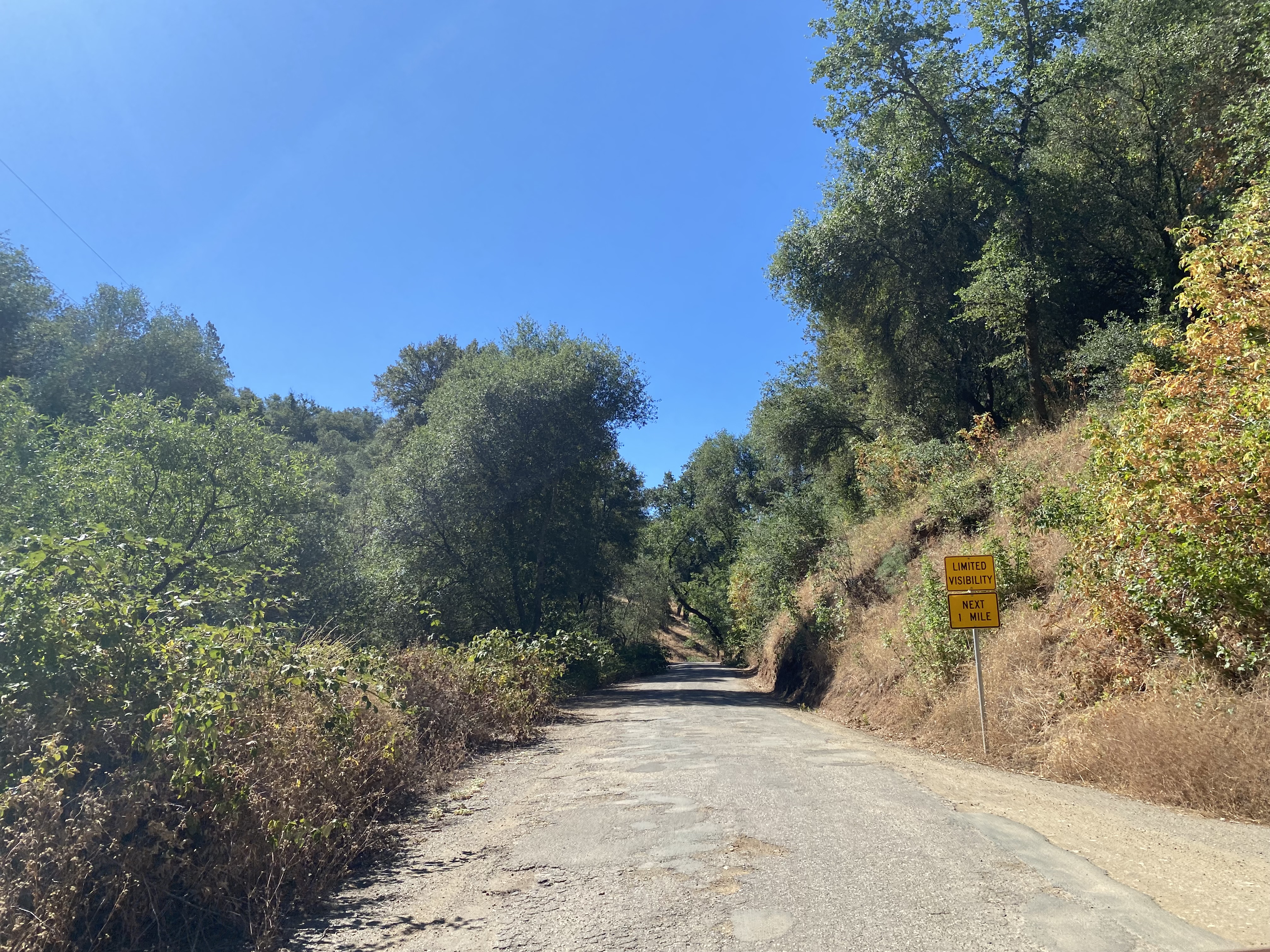
Traffic entering Middle Bar Road is advised the three miles ahead to the 1912 Middle Bar Bridge is one lane.

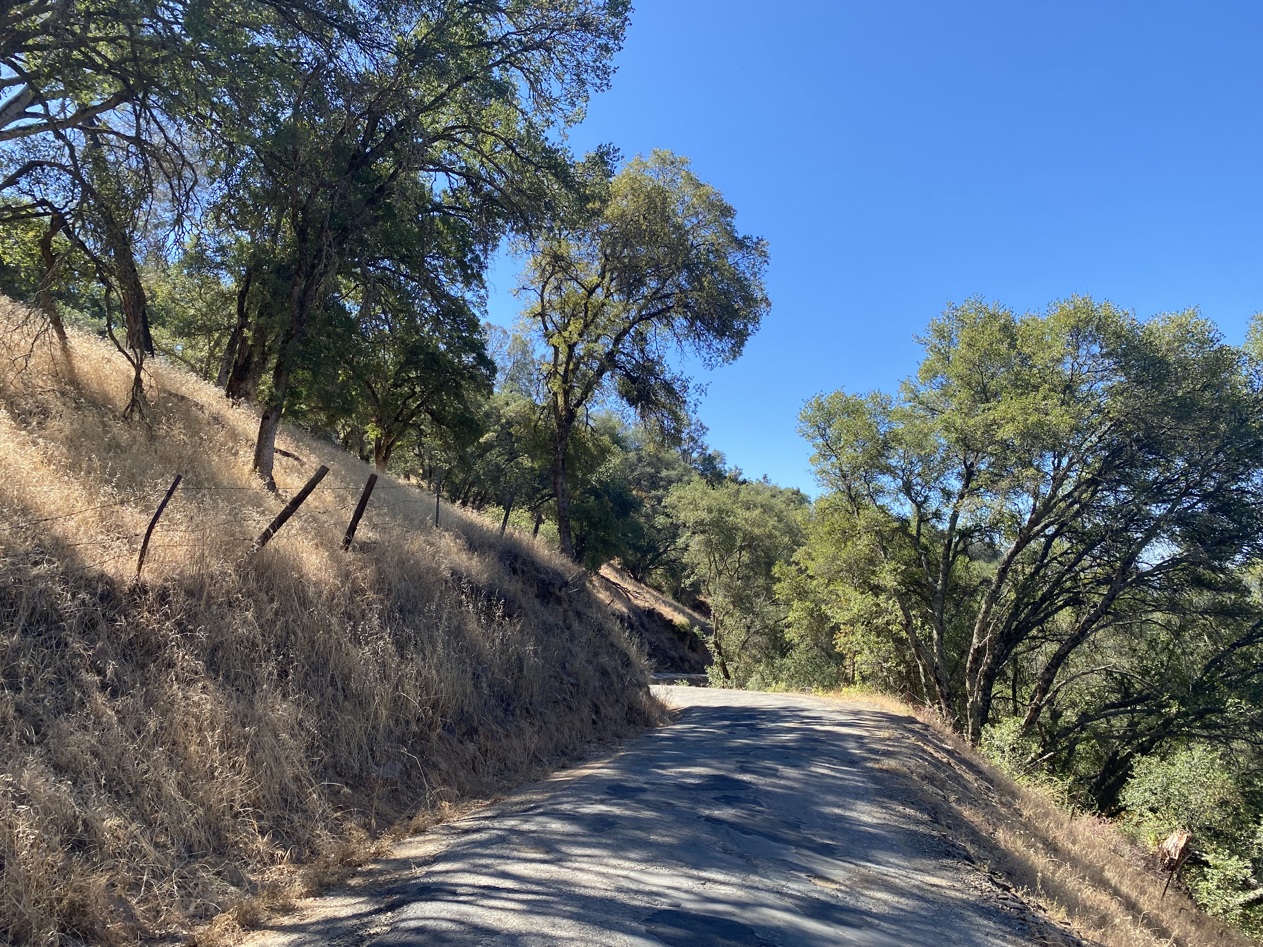
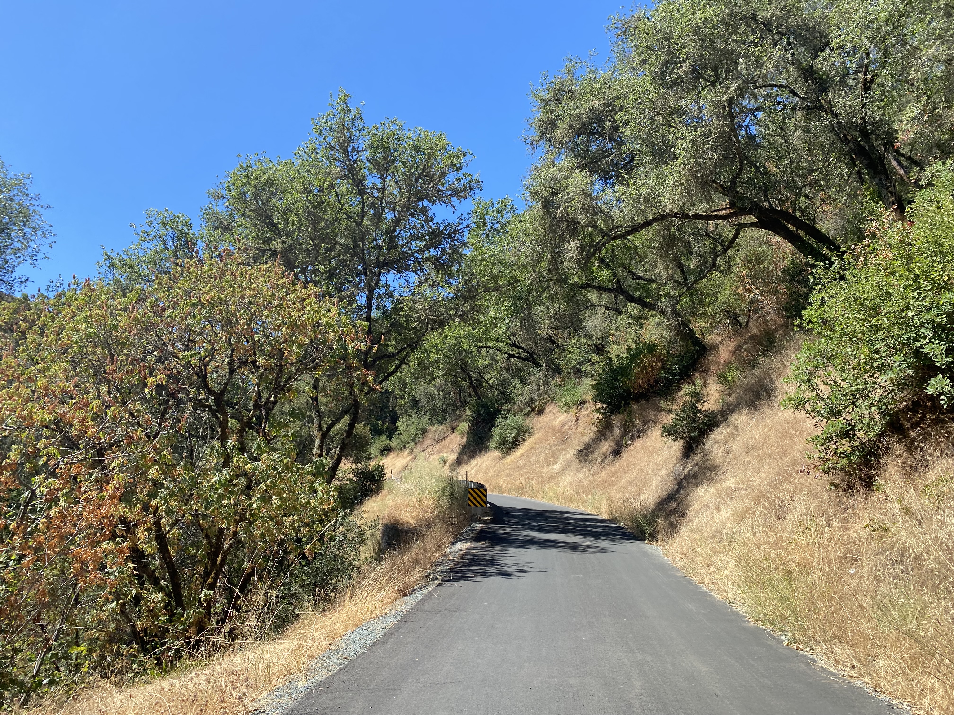
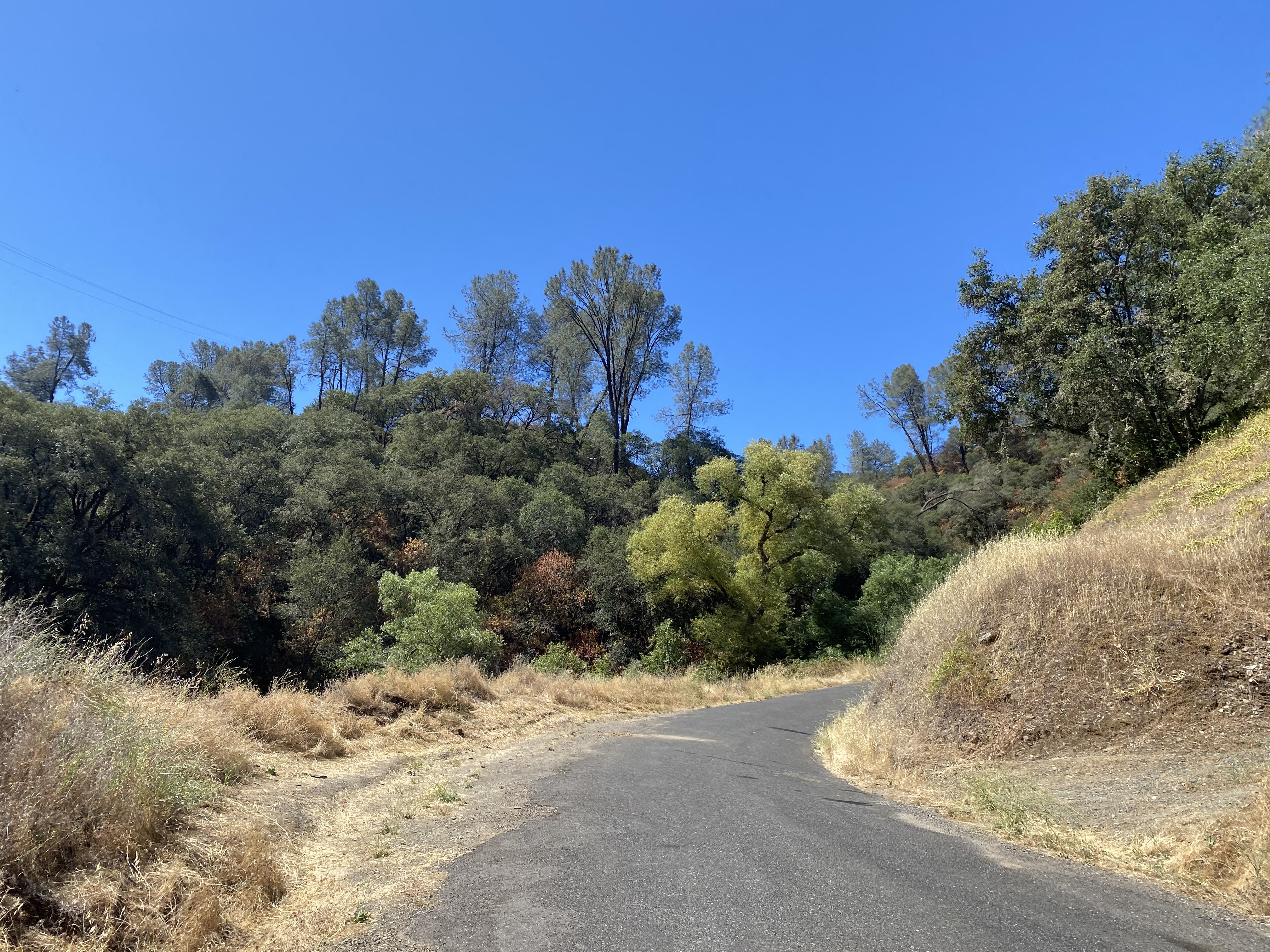
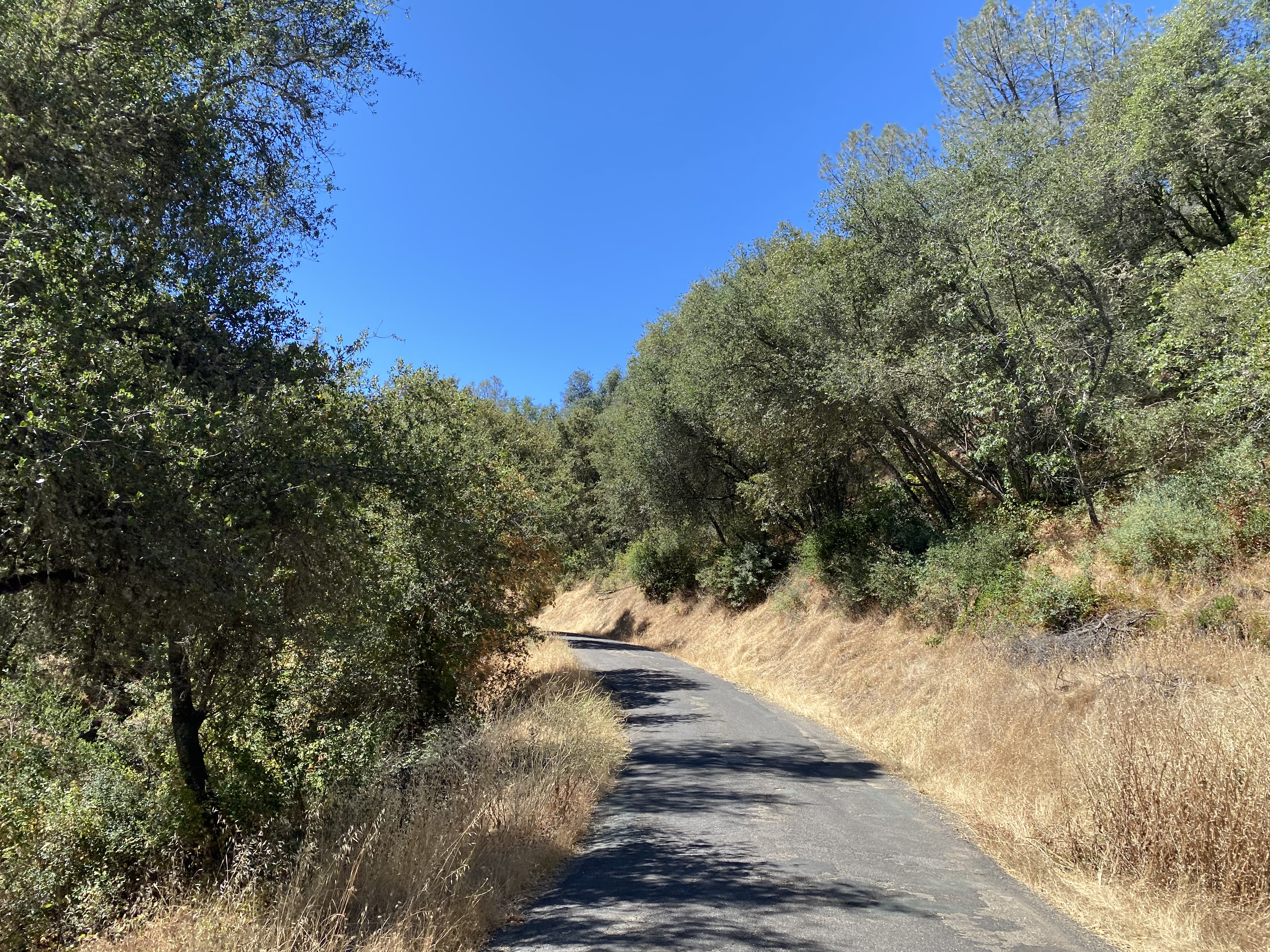
Middle Bar Road southbound to the 1912 Middle Bar Bridge is extremely haggard and very much the advertised single lane. It is unclear when Middle Bar Road was last repaved by Amador County.


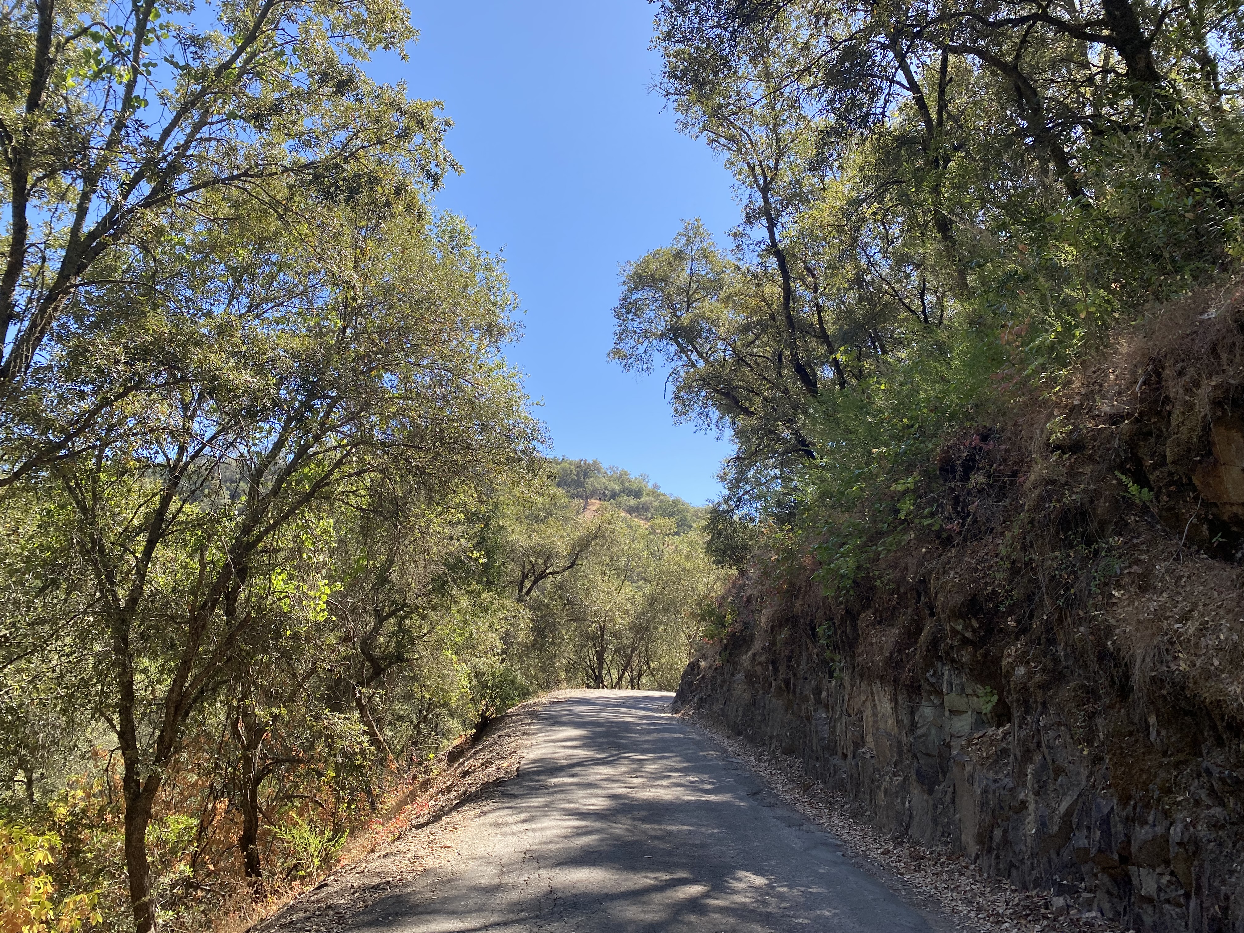


Middle Bar Road approaching the 1912 Middle Bar Bridge and the Mokelumne River enters East Bay Municipal Utility District Middle Bar Take-Out Facility. The 1912 Middle Bar Bridge lies within the eastern end of the Pardee Reservoir and is a popular local fishing location.

The 1912 Middle Bar Bridge serves as the crossing into Calaveras County and Gwin Mine Road. The 1912 Middle Bar Bridge is adorned with the name of the Clinton Bridge & Iron Works. Upon crossing the 1912 Middle Bar Bridge into Calaveras County traffic continues to the right towards Paloma, to the left is access to the Mokelumne Coast to Crest Trail. The Mokelumne Coast to Crest Trail appears on several of the maps in Part 1 as a connecting road from the 1912 Middle Bar Bridge to Mokelumne Hill.


Gwin Mine Road climbs from the 1912 Middle Bar Bridge southward to the ruins of the Gwin Mine. The shafts at the Gwin Mine reached a reported maximum depth of 2,533 feet below the surface.


Gwin Mine Road continues south from the ruins of the Gwin Mine into the community of Paloma. Gwin Mine Road terminates at former California State Route 8 at Paloma Road.


A historical plaque regarding the history of Paloma can be found at the of Gwin Mine Road. Paloma (alternatively Fosteria) was tied to the founding of the Gwin Mine in 1849. The Gwin Mine is named after California's first Senator William M. Gwin who acquired the property 1851. The Gwin Mine closed in 1908 having yielded $6,000,000-$7,000,000 in precious metals. The fortunes of Paloma were tied heavily to the Gwin Mine which led to a significant decline in the community.


Comments