
The Chester-Bridgeport Ferry first began operations on July 1, 1930, with crew from the defunct Tacony-Palmyra Ferry. The Chester-Bridgeport Ferry was formally dedicated by Chester Mayor Samuel Turner on July 9, 1930. According to oldchesterpa.com the Chester-Bridgeport Ferry initially was serviced by two ships: the Chester and Bridgeport. The Chester is stated to have had a carrying capacity of 60 vehicles whereas the Bridgeport had carrying capacity of 48 vehicles.


Below the Chester-Bridgeport Ferry can be seen at Chester at an unknown dates (photo sources unknown).


During 1935 the Chester-Bridgeport Ferry added the Delaware which could hold 75 vehicles. On October 31, 1935, the New Jersey State Highway Department submitted a recommendation to the American Association of State Highway Officials to extend US Route 322 into New Jersey via the Chester-Bridgeport Ferry.

A letter dated January 14, 1936, from the New Jersey State Highway Department to the American Association of State Highway Officials details the proposed extension of US Route 322 into New Jersey. The private ownership of the Chester-Bridgeport Ferry is noted as a point of contention towards extending US Route 322 to US Route 40 near the vicinity of Atlantic City. The New Jersey State Highway Department noted an example of an existing private car ferry in use on US Route 40 and urged the American Association of State Highway Officials to approve the extension of US Route 322.

A reply by the American Association of State Highway Officials Executive Secretary on January 16, 1936, noted a prohibition of adding new US Routes over privately owned car ferries such as the Chester-Bridgeport Ferry. The Executive Secretary noted a commitment by the Pennsylvania Secretary of Highways to join New Jersey in completing US Route 322 over the Chester-Bridgeport Ferry as a state-maintained facility. The Executive Secretary noted the commitment to obtain the Chester-Bridgeport Ferry as being satisfactory extend US Route 322 into New Jersey and assured approval by the American Association of State Highways Officials Executive Committee.

During 1939 on the New Jersey side of Delaware River the approach road to the Chester-Bridgeport Ferry and US Route 322 were designated New Jersey Route 44-S. The designation of New Jersey Route 44-S denoted as a spur of New Jersey Route 44. US Route 322 and New Jersey Route 44-S can be seen co-signed departing the Chester-Bridgeport Ferry towards Bridgeport, New Jersey on the 1940 United State Geological Survey Map. The Chester side of the Chester-Bridgeport Ferry seemingly never carried a Pennsylvania Route number.

Despite the informal commitment presented the to the American Association of State Highway Officials the Chester-Bridgeport Ferry remained in private hands. A retrofitted railroad ferry was added to the Chester-Bridgeport Ferry in 1949 to increase carrying capacity. The Chester-Bridgeport Ferry began to operate twenty-four hours a day to accommodate demand to cross the Delaware River.
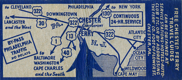
Below the Chester-Bridgeport Ferry can be observed on a promotional matchbook map.
The Chester-Bridgeport Ferry can be observed on the 1956 Gousha Highway Map of New Jersey carrying US Route 322 over the Delaware River.

The Delaware River Port Authority began construction of the Commodore Barry Bridge on April 14, 1969. The piers of the Commodore Barry Bridge can be observed during 1971 in photo from the Don Silknitter Collection (courtesy bridgehunter.com).

As noted above the Commodore Barry Bridge opened to traffic as the new alignment of US Route 322 on February 1, 1974. Following the closure of the Chester-Bridgeport Ferry the enterprise immediately sold the Bridgeport and Delaware. The former routing of US Route 322 on the New Jersey side to the Chester-Bridgeport Ferry was reassigned as New Jersey Route 324 which came to be known as Old Ferry Road.
The Commodore Barry Bridge namesake is John Barry of the American Revolutionary War. John Barry was appointed Captain of the Continental Navy on December 7, 1775 and is largely considered the father of the United State Navy. John Barry would receive a commission as Commodore during 1797 directly from President George Washington.
Part 2; aerial photography of the Commodore Barry Bridge
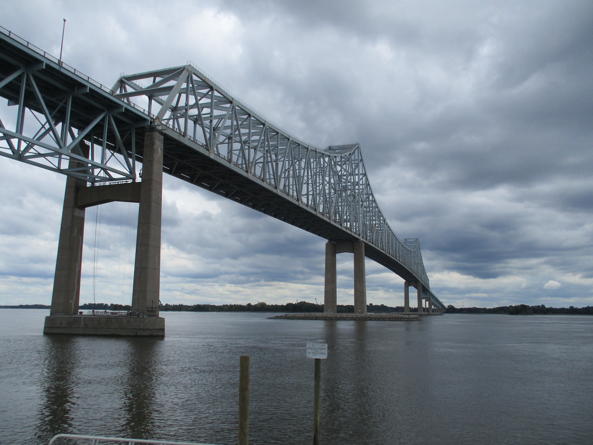
The unique cantilever truss structure of the Commodore Barry Bridge is best viewed from an aerial perspective. The below photo was taken by Tom Fearer upon landing at Philadelphia Internation Airport facing into New Jersey.

The below drone photos of the Commodore Barry Bridge were taken by Dan Murphy.

.JPG)


.JPG)
.JPG)


Part 3; a drive on the Commodore Barry Bridge
From the Pennsylvania side of the Delaware River in Chester the Commodore Barry Bridge can be accessed from Interstate 95 southbound Exit 4 towards US Route 322 eastbound.


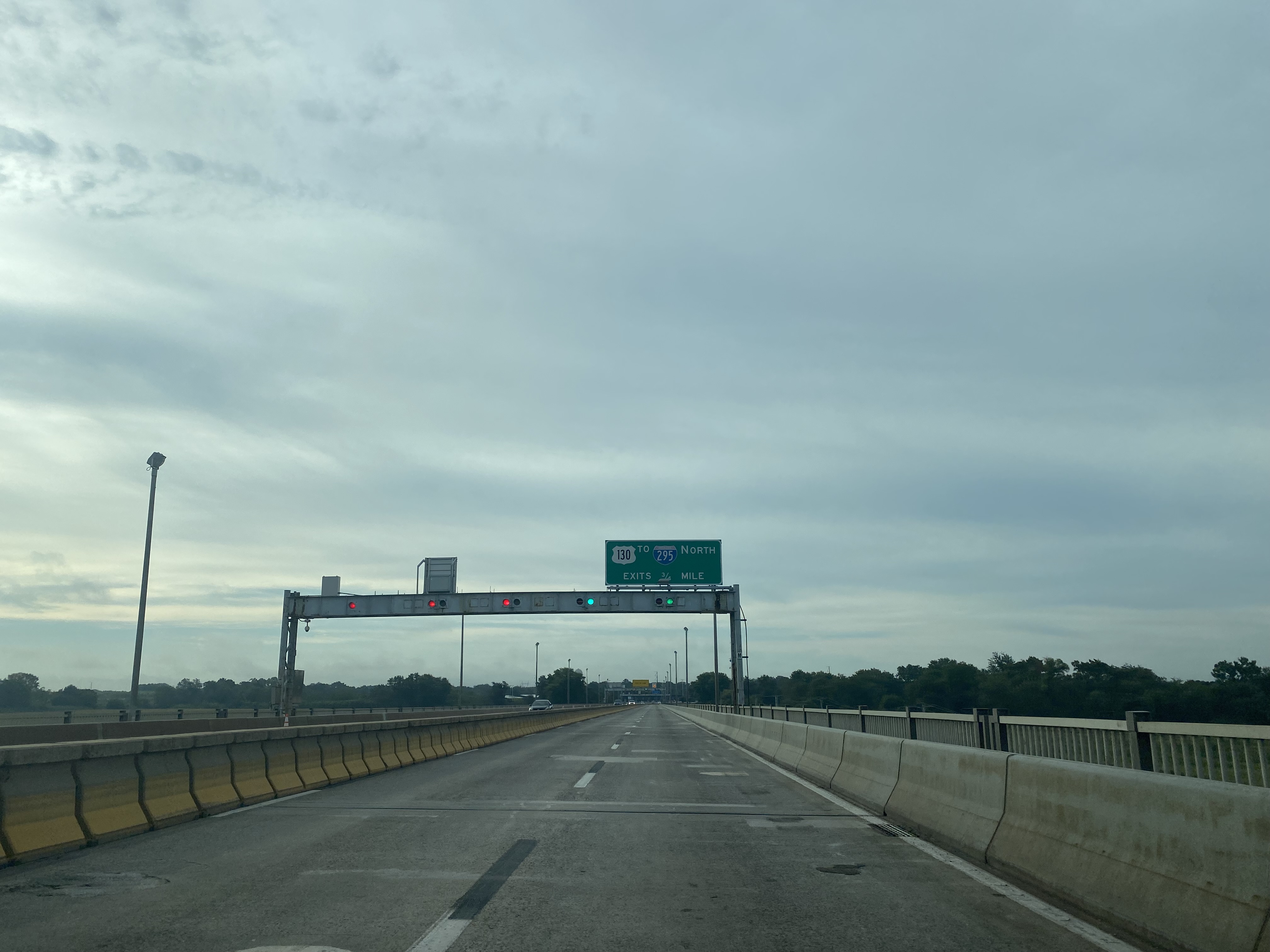
As US Route 322 eastbound joins the Commodore Barry Bridge traffic can access an exit to Pennsylvania Route 291.


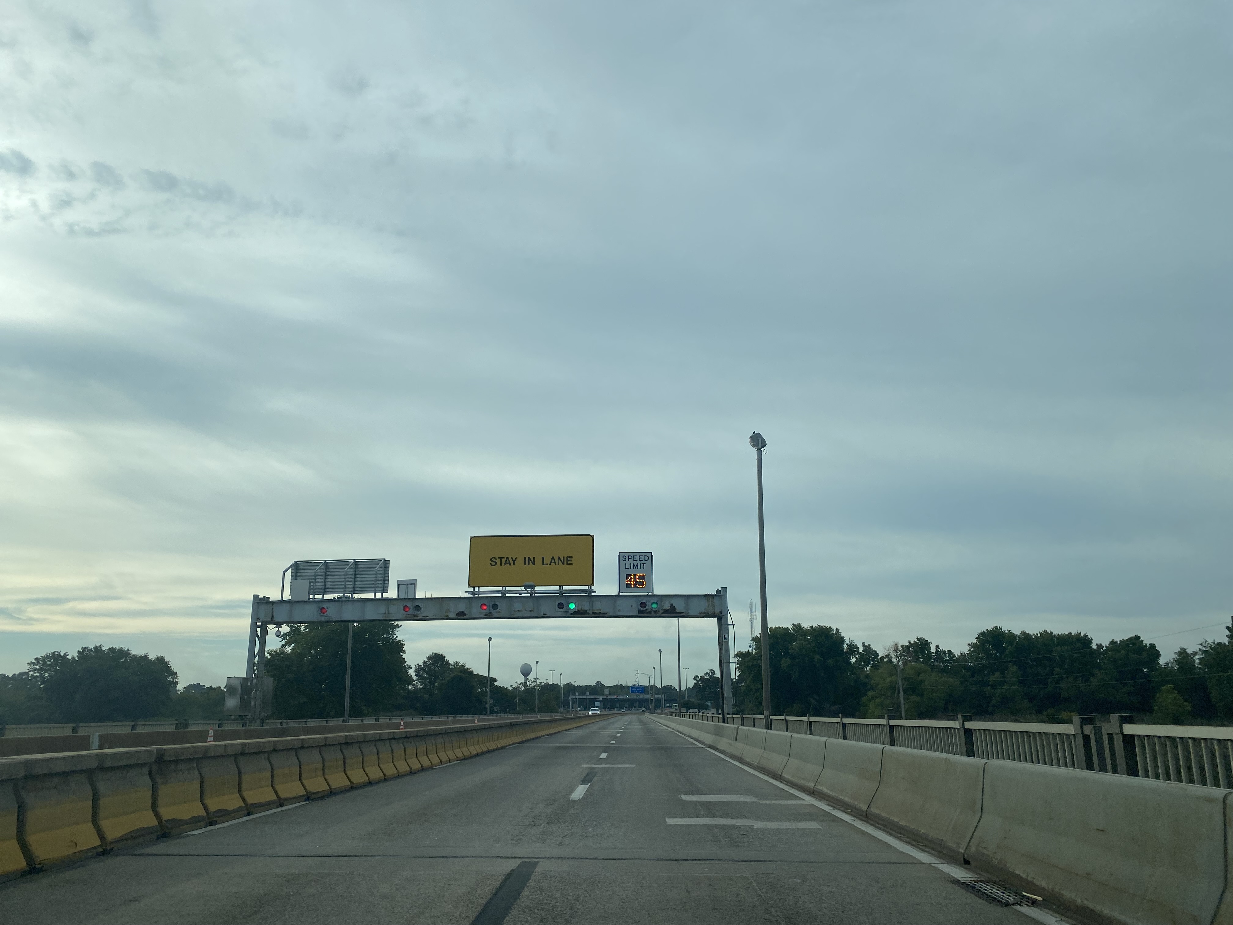
US Route 322 eastbound crosses the cantilever truss span of the Commodore Barry Bridge over the Delaware River and enters New Jersey. The movable barrier on the Commodore Barry Bridge was installed during 2002.


US Route 322 eastbound passes by the westbound-only toll gantries and intersects US Route 130 in Bridgeport. Presently only westbound US Route 322 traffic is charged tolls on the Commodore Barry Bridge. The present toll-rate for a passenger vehicle on westbound US Route 322 on the Commodore Barry Bridge is $5.


As noted above the old surface alignment of US Route 322 approaching the Chester-Bridgeport Ferry was reassigned New Jersey Route 324 upon the opening of the Commodore Barry Bridge during 1974. New Jersey Route 324 is presently disconnected from the rest of the New Jersey State Highway System and is in a state of semi-abandonment. Despite the nearly abandoned state of New Jersey Route 324 it is still classified as being 1.51 miles along Old Ferry Road
During the 2022 Philadelphia, PA National Road Meet the site of the Chester-Bridgeport Ferry was visited during Day 2 of the event. Despite being traversable New Jersey Route 324 is signed as a closed road.

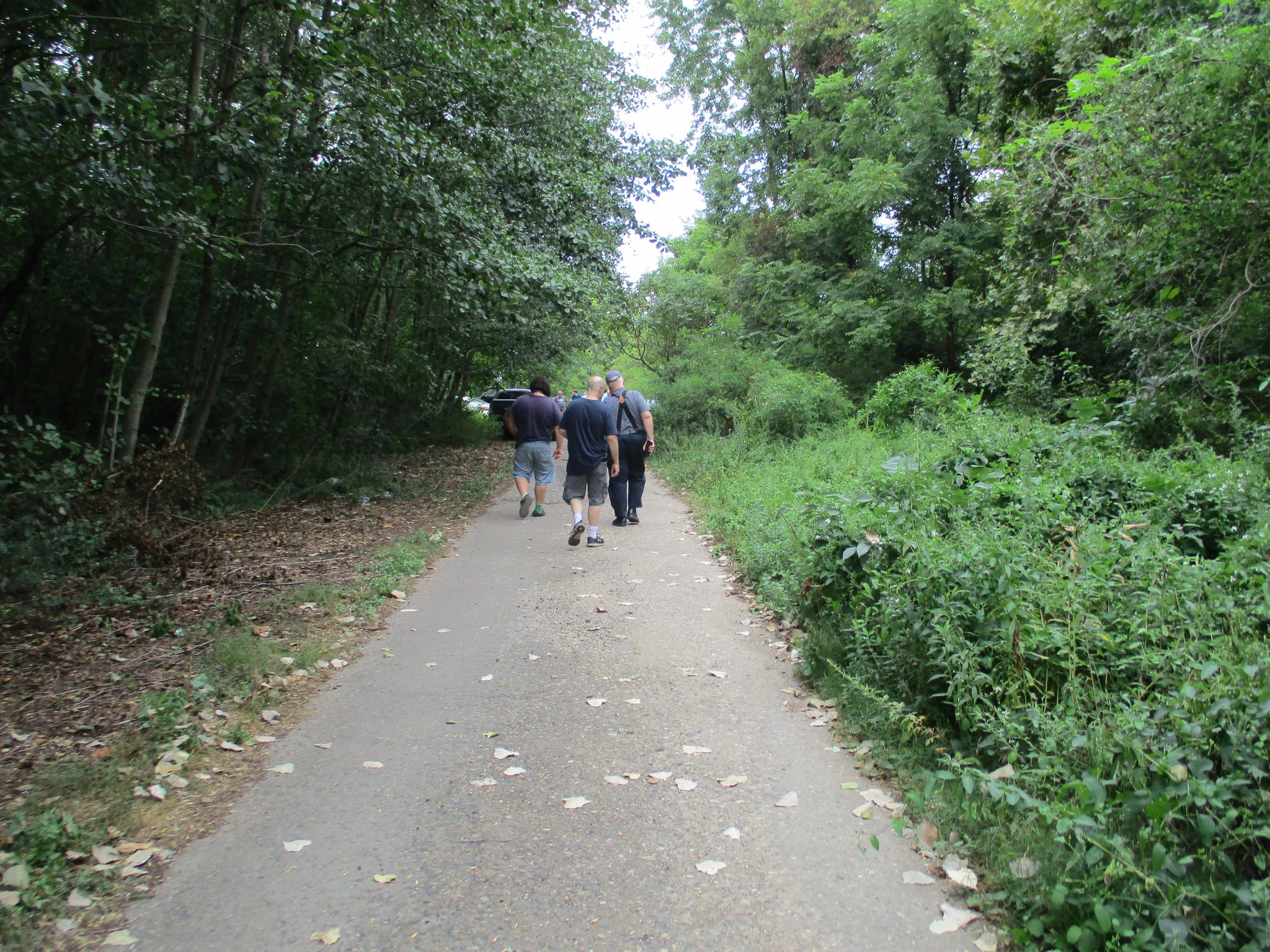
Below members of 2022 Philadelphia, PA National Road Meet can be observed visiting the New Jersey side of the Chester-Bridgeport Ferry.


Despite the present condition of New Jersey Route 324 it seems that it may have a future. On August 26, 2022, 42freeway.com announced a proposal to construct a 615-acre warehouse park. The proposal to construct the New Jersey Route 324 warehouse park will be heard September 8, 2022, by the Logan Township Planning Broad.
Comments