Within the friendly confines of the
Saratoga Spa State Park in
Saratoga Springs, there is quite a bit to see and do. Among the
Roosevelt Baths, the spas, the geysers, the walking trails and even the
Saratoga Performing Arts Center, just to name a few places, there are a few museums to be found in well. One of those museums, located in the historic
Saratoga Bottling Plant, is the
Saratoga Automobile Museum. So one foggy day while I was in Saratoga Springs over the holidays to buy some locally famous
Peppermint Pigs as Christmas gifts for family and friends, I decided to swing by the Saratoga Automobile Museum and see its collection of cars.
Once inside and after I had paid my
admission,
I was greeting by a very knowledgeable staff member who gave me a tour
around the museum, giving me plenty of details about the museum and the
main attraction of the museum itself, which is the collection of unique
automobiles that make up the museum. After he explained the history and
the car exhibits around the two floors of the museum to me, I was
encouraged to explore the museum myself and take some pictures along the
way. Since the museum has rotating exhibits, on the day I went, one
floor had an exhibit of cars loaned by the staff members and volunteers
that work at the museum, because after all, they love cars too and are
happy to show them off. The second floor had an exhibit dedicated to the
history of cars built in New York State in the days of yore, along with
the history of race cars in the Empire State. Spending time in the
museum was a great way to spend a little time. Let's see some of the
nice cars that fill the museum, shall we...
 |
| 1958 Chevrolet Impala convertible. |
 |
| 1925
Ford Model T popcorn truck, one of only two of its kind in existence.
It was essentially the food truck of its day and spent its days in the
food industry in the beautiful small town of Cambridge, New York, not
far from the border with southern Vermont. The food truck tradition
continues in Cambridge today with the wildly popular King Bakery Donut Cart. |
 |
| The truck served popcorn and other types of snacks and light lunch fare. |
 |
| A vintage Ford Model T, showing the weathering of time. |
 |
| Looks like a fun ride, even in the back. |
 |
| An early 1966 Volvo. |
 |
| A Lotus! |
 |
| A reminder that the museum was once a bottling plant. |
 |
| A newer model Corvette. |
 |
| A car from the 1930s made for the upper crust of society... |
 |
| ...since it included a small bar and liquor cabinet in the back seat. Try getting away with that today. |
 |
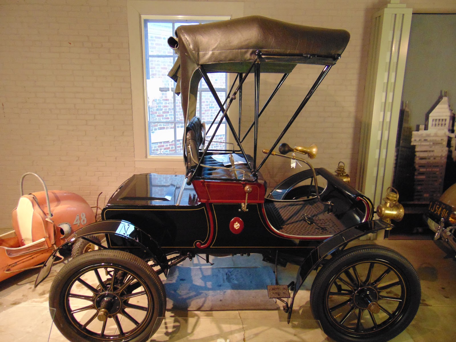
| 1910 Maxwell |
 |
| More like a horseless carriage than a car. I can't remember which make or year this car was. |
 |
| New York State has a rich history of auto racing, right from the early Vanderbilt Cup Races days and beyond. |
 |
| Richard Petty's race car, which he used at Watkins Glen. |
 |
| Dyson racing car. |
 |
| Amphicar. Half boat, half car. Notice the propellers in the back. |
 |
| Amphicar. Can go on roads and lakes. |
 |
| The children's area of the museum, which includes a soap box derby car. |
 |
| I also stumbled upon a small gallery in the museum that features paintings involving cars. Here's a few of them. |
 |
| Back down to the first floor of cars. |
 |
| The front of this car is patriotic. |
 |
| I just really liked this photo. |
 |
| One of a few remnants of the bottling plant era. |
 |
| Now
that the tour is done, here is a Saratoga Automobile Museum themed
horse statue in front of the museum.I hope you enjoyed your tour of the
museum as much as I have. |
How to Get There:
Sources and Links:
Saratoga Automobile Museum - Saratoga Automobile Museum
Saratoga Automobile Museum - Discover Saratoga
Saratoga Automobile Museum - Saratoga Springs Heritage Area Visitors Center
Update Log:
January 25, 2020: Published original article to Unlocking New York.
August 25, 2021: Transferred article from Unlocking New York to Gribblenation.




Comments