
Former Florida State Road 758 on Siesta Key

As of September 2020 Florida State Road 758 west of US Route 41 on Siesta Key has been relinquished to Sarasota County.  I happened to be staying on Siesta Key during June of 2021 and thought it would be an opportune time to see if any signage changes to Florida State Road 758 had occurred (spoiler; there hasn't been any).  As an active highway Florida State Road 758 begins at US Route 41 in Sarasota and extends 5.432 miles east  to Interstate 75.  


Part 1; the history of Florida State Road 758 on Siesta Key

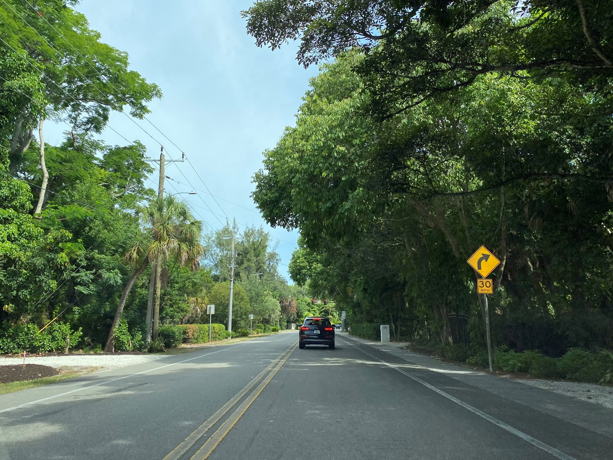
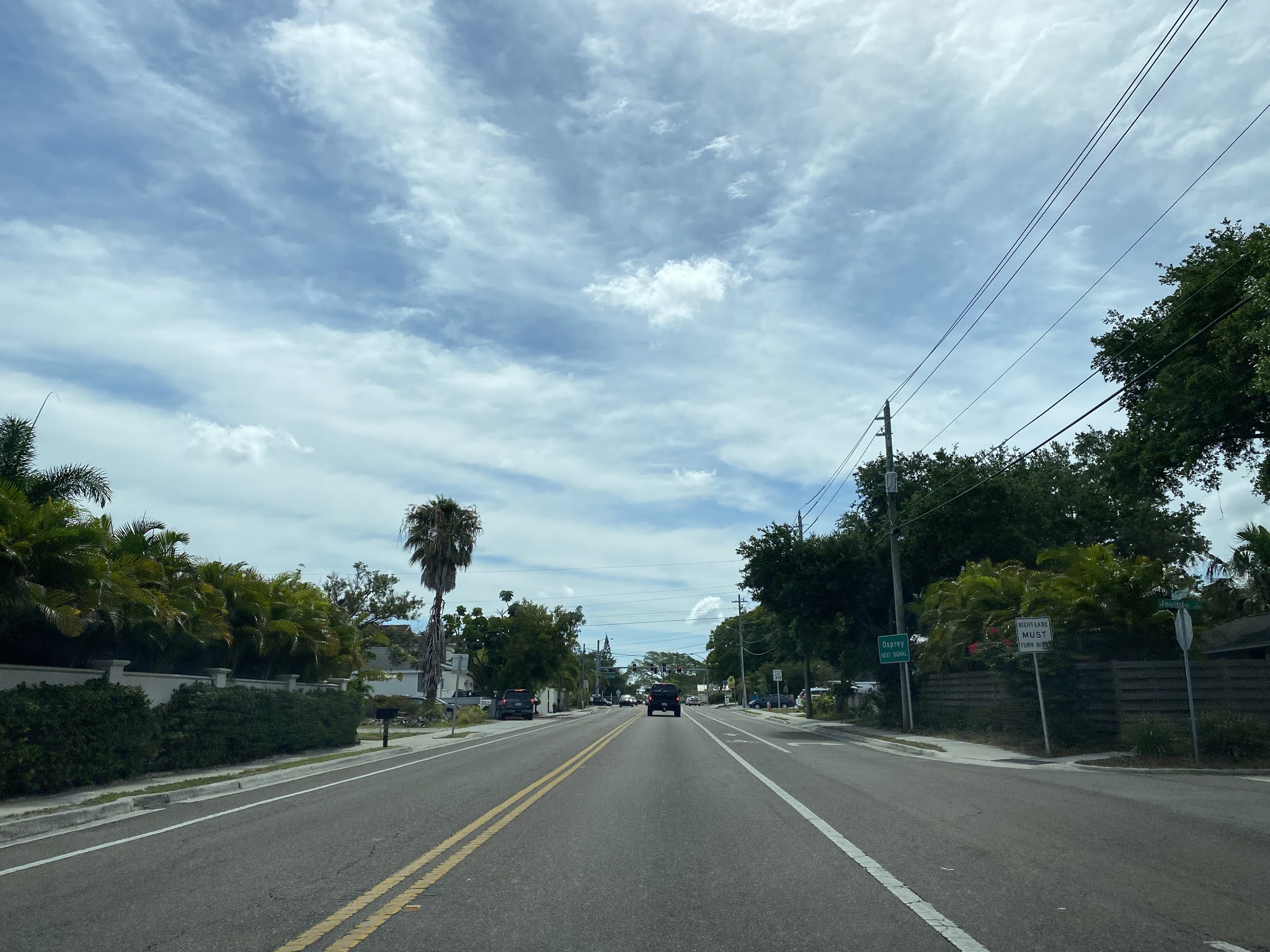
Prior to being truncated to US Route 41 the alignment of Florida State Route 758 ("FL 758") began at the western terminus of FL 72 on Siesta Key.  FL 758 followed Midnight Pass Road northward to High Avenue.  FL 758 followed High Avenue north to Siesta Drive in the fringe City Limits of Sarasota and began an eastward trek towards US Route 41.  FL 758 followed Siesta Drive over Bay Island and the Sarasota Bay Bridge to Osprey Avenue.  From Osprey Avenue FL 758 followed Bay Road to a junction with US Route 41.  

It is unclear when FL 758 on Siesta Key was incorporated into the State Road System.  FL 789 can be seen originating from the southern tip of Siesta Key at Midnight Pass and ending at US Route 41/FL 72 on the 1956 Shell Highway Map of Florida  It is likely the road network of Siesta Key was added to the State Road System due to the expensive swing bridge structures that existed there at the time.  USGS maps show a change in designation from FL 789 to FL 758 occurring at some point between 1992 and 2000. 

In 2018 Sarasota County accepted a $40,000,000 dollar road transfer offer with the Florida Department of Transportation.  This transfer offer included relinquishing all of FL 758 west of US Route 41 sans the Sarasota Bay Bridge to Sarasota County.  The transfer offer between Sarasota County and the Florida Department of Transportation was finalized during September of 2020.  Interestingly all FL 758 signage remains active in-field as of June 2021.  


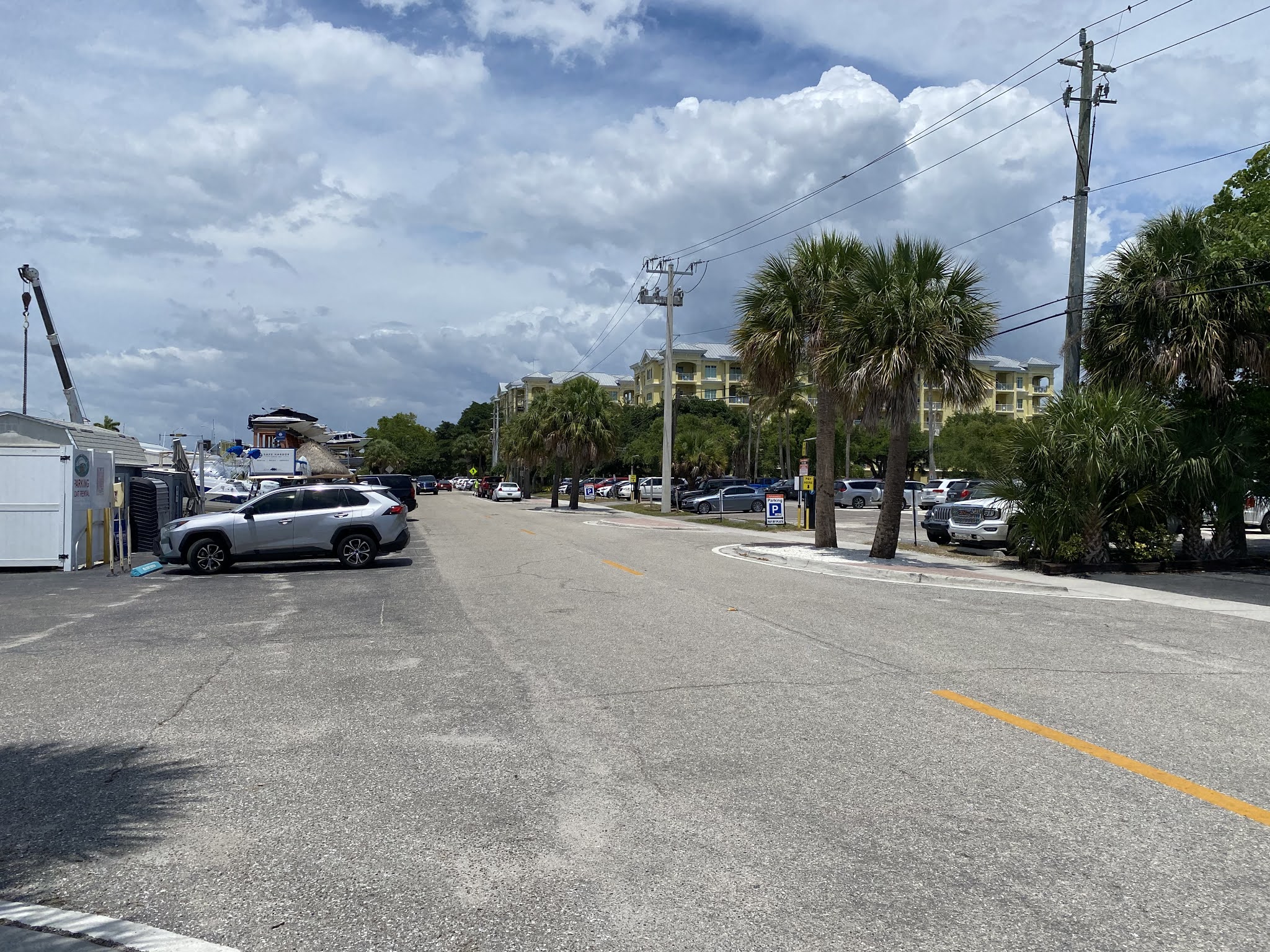
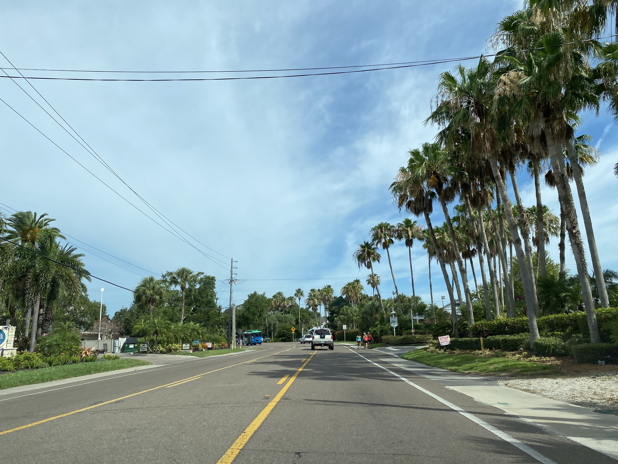
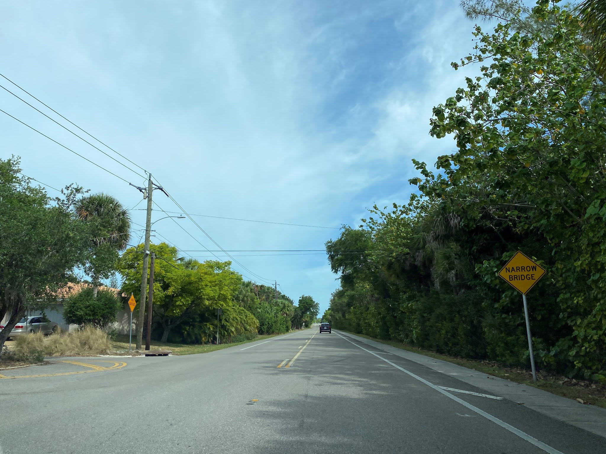
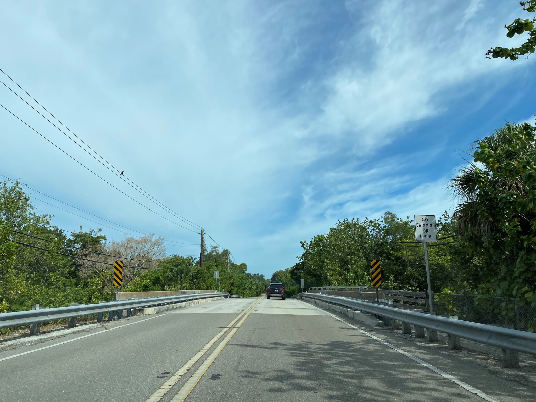
Part 2; a drive on former Florida State Road 758 on Siesta Key

FL 758 began from the western terminus of FL 72 which has also been truncated to US Route 41 on Stickney Point Road.  West of US Route 41 Stickney Point Road is stilled signed as FL 72 onto Siesta Key.  Stickney Point Road crosses the Siesta Key Bridge and terminates at the Midnight Pass Road on Siesta Key.  The Siesta Key Bridge was constructed in 1968 as a replacement for an earlier bridge and features a dual bascule draw span design.  The Siesta Key Bridge is 567.6 feet in length and is still maintained by the Florida Department of Transportation.


Old Stickney Point Road can be found on Siesta Key.  As indicated on the 1956 Shell Highway Map of Florida this would have once been FL 782 before FL 72 realigned.  


Siesta Key has been previously called "Little Sarasota Key" and "Sarasota Key."  Siesta Key was largely plotted out and subdivided by the Siesta Land Company beginning in 1907.  Access to Siesta Key was connected by ferry until 1917 when the first bridge over Sarasota Bay was built.  This bridge was supplemented by the first Stickney Point Bridge being constructed in 1927.  Siesta Key largely is recognized as one of the more notable Gulf Coast resort communities in Florida. 


Former FL 758 follows Midnight Pass Road northward towards an intersection with Beach Road.  Beach Road is signed as the Siesta Key business district and was once part of County Route 789A.  The FL 758 signage directs traffic following the former State Road to stay on Midnight Pass Road.  


Former FL 758 continues north on Midnight Pass Road and turns right onto High Avenue. 


Former FL 758 continues north on High Avenue into the City Limits of Sarasota and swings eastward over the Hanson Bayou Bridge onto Siesta Drive on Bay Island.  The Hanson Bayou Bridge is a concrete tee beam design which opened in 1928.  


Former FL 758 follows Siesta Drive eastbound over the Sarasota Bay Bridge to Osprey Avenue.  The Sarasota Bay Bridge was constructed in 1972 as a replacement for a previous span in the same location which was built during 1926.  The Sarasota Bay Bridge is bascule design which is 1,278.3 feet in length.  Downtown Sarasota and the Ringling Causeway of FL 789 can be seen from the Sarasota Bay Bridge.  


As noted in Part 1 FL 758 followed Osprey Avenue and Bay Road to US Route 41.  


Comments

Popular posts from this blog

2018 Mojave Road Trip Part 2; The deadly desert highway (California State Route 127 and Nevada State Route 373)

After leaving Barstow via Old Highway 58 my next destination was in Death Valley.  To access Death Valley from rural San Bernardino County required a trek on north on Interstate 15 to California State Route 127 which becomes Nevada State Route 373 at the state line. Along I-15 I encountered the road sign oddity that is Zzyzx Road about eight miles south of Baker.   Zzyzx Road is a four mile road that used to go to the Zzyzx Mineral Springs and Health Spa.   The spa was founded in the 1940s and the owner made up the name "Zzyzx" to claim it was the last word in the English Language.  The spa has been shut down since the 1970s and is now part of a Desert Studies Center for California State University. The southern terminus of CA 127 in Baker is located at I-15 exit 246.  CA 127 is a 91 mile north/south highway which runs to the Nevada State Line in Inyo County.  CA 127 is called Death Valley Road from I-15 northward.  South of CA 127 ...

Finding the Pre-Emption Road of New York State

  The Pre-Emption Road (or rather a series of roads named Pre-Emption Road) follows a survey line called the Pre-Emption Line, drawn in the early days of the United States. The story begins with Massachusetts and New York having competing land claims to modern day Western New York State that have their roots in colonial charters granted by the British. After the Revolutionary War ended, this land became the frontier of the nation and its settlement became a priority for the new American government. During this era, there were a lot of competing land claims that needed to be settled. It was no different with the land claims between New York State and Massachusetts. On November 30, 1786, Massachusetts and New York sent representatives to Hartford, Connecticut to resolve their competing land claims. In less than three weeks, the representatives had reached a compromise. Massachusetts would receive pre-emption rights, meaning the right to sell the land after the Indian title ...

What's In a Name?: When the Roads Really Do Tell a Story

  Our tagline on the Gribblenation blog is "because every road tells a story". Some roads tell different stories than others. Along our travels, we may see historic markers that tell us a little story about the roads we travel or the places we pass by. Some historic markers are more general, as to telling us who lived where or what old trail traversed between two towns. During my travels across New York State and other states or provinces, I pass by many historic markers, some with interesting or amusing references to roads. I wanted to highlight a few of the markers I've seen along my travels around the Empire State and help tell their stories. Those stories may be as specific as explaining the tales of a tree that was used to help measure a distance of eight miles from Bath to Avoca in Steuben County, as referenced on the Eight Mile Tree historical marker above. They may also help point the way along historical roads first used centuries ago, or may help tell a local l...