This previous month I drove what was California State Route 224 from US 101/CA 1 south to Carpinteria State Beach.

CA 224 was a 1 mile State Highway which was routed from US 101/CA 1 through Carpinteria to Carpinteria State Beach. The route of CA 224 followed Casitas Pass Road, Carptineria Avenue and Palm Avenue to the State Beach Gate.

The route that became CA 224 dates back to the creation of Legislative Route 152 which was added to the State Highway System in 1933 according to CAhighways.org. In it's original configuration LRN 152 simply connected from US 101/LRN 2 on Carpinteria Avenue south to Carpinteria State Beach. The earliest route of LRN 152 can be seen on the 1935 California Division of Highways Map of Santa Barbara County.

During the 1964 Renumbering CA 224 was assigned to LRN 152. This change can be seen on the 1964 State Highway Map.

According to CAhighways.org CA 224 was legislatively deleted as a State Highway. My approach to former CA 224 was via Casitas Pass Road south from CA 192. At Casitas Pass Road and US 101/CA 1 I picked up the route of former CA 224.

CA 224 south followed Casitas Pass Road and made a right hand turn onto Carpinteria Avenue.


Former CA 224 south briefly was on Carpinteria Avenue (former US 101) before taking a left hand turn onto Palm Avenue.


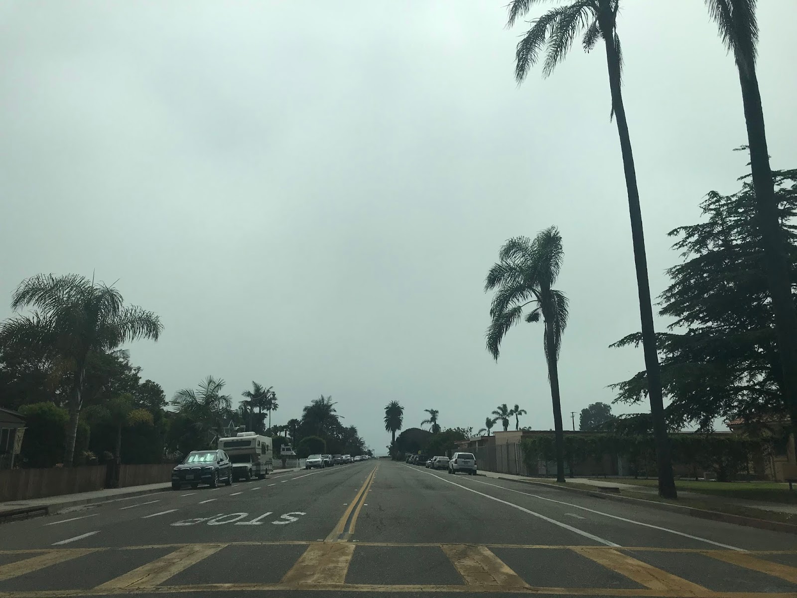
CA 224 south followed Palm Avenue south over the Union Pacific tracks to the gate of Carpinteria State Beach.


CA 224 was a 1 mile State Highway which was routed from US 101/CA 1 through Carpinteria to Carpinteria State Beach. The route of CA 224 followed Casitas Pass Road, Carptineria Avenue and Palm Avenue to the State Beach Gate.

The route that became CA 224 dates back to the creation of Legislative Route 152 which was added to the State Highway System in 1933 according to CAhighways.org. In it's original configuration LRN 152 simply connected from US 101/LRN 2 on Carpinteria Avenue south to Carpinteria State Beach. The earliest route of LRN 152 can be seen on the 1935 California Division of Highways Map of Santa Barbara County.

During the 1964 Renumbering CA 224 was assigned to LRN 152. This change can be seen on the 1964 State Highway Map.

According to CAhighways.org CA 224 was legislatively deleted as a State Highway. My approach to former CA 224 was via Casitas Pass Road south from CA 192. At Casitas Pass Road and US 101/CA 1 I picked up the route of former CA 224.

CA 224 south followed Casitas Pass Road and made a right hand turn onto Carpinteria Avenue.


Former CA 224 south briefly was on Carpinteria Avenue (former US 101) before taking a left hand turn onto Palm Avenue.


CA 224 south followed Palm Avenue south over the Union Pacific tracks to the gate of Carpinteria State Beach.


Comments