
1000 Islands Tower


I pass through the Thousand Islands often enough where I've become fairly acquainted with the lay of the land and the places that dot the landscape. It is certainly a majestic and wonderful place to visit. However, every time I would cross the border into the United States or to Canada, I pass by a tall tower just north of the border into Ontario. During one of my trips back to Upstate New York from Ontario, I decided to check out the tower and see the Thousand Islands from a different angle. That tower is known as the 1000 Islands Tower.


Towering some 400 feet, or 130 meters, the 1000 Islands Tower sits on its perch on Hill Island. The tower is generally open from May to October, and after paying the admission fee, you can head up the elevator to the observation decks to get a bird's eye view of the area. The tower is currently owned by a couple who are originally from Germany, but fell in love with the Thousand Islands when they were vacationing in the area. They loved the idea of the 1000 Islands Tower as a landmark, and when the opportunity arose, they purchased the tower.

From the tower, a view of the Ivy Lea Bridge, which is the northern bridge spanning the Canadian mainland with Hill Island, can easily be spotted from the sky deck, along with other various islands on both the American and Canadian sides of the border. Let's take a look at what we can see, shall we?

The Ivy Lea Bridge, which is the northernmost of the bridges owned and operated by the Thousand Islands Bridge Authority. The bridges opened to traffic in 1938.
Ontario King's Highway 137, which runs from Ontario King's Highway 401 to the United States border and Interstate 81.

Some small islands in the Thousand Islands. Some of the islands are only big enough for one house, if that.

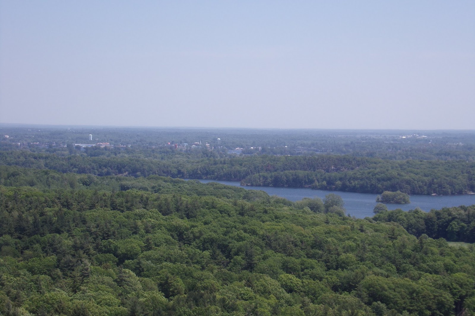
A little wider view of the Thousand Islands looking west. The west end of Hill Island is straight ahead, with Wallace Island to the right, along with some smaller islands. Gananoque, Ontario is in the distance, somewhere.

Looking towards the south, you will see a bit of a rift between the islands to the right of the picture. That is part of the international boundary between Hill Island in Ontario and Wellesley Island in New York State.

The northernmost exit of I-81 to DeWolf Point State Park on Wellesley Island. The customs plaza is hiding somewhere in the trees. If you look in the distance, you can see the southern Thousand Islands Bridge crossing between Wellesley Island and Collins Landing on the mainland of New York State.

Alexandria Bay, New York is in the distance.
There are informational plaques around the observational skydeck. There's apparently not quite a thousand islands that make up the Thousand Islands region.

Another look at the Thousand Islands, this time looking east. Somewhere amongst these islands, Thousand Islands dressing was invented.

One final look at the Ivy Lea Bridge before I headed back into the United States.

A nice parting shot of the Thousand Islands. I hope you enjoyed your visit to the 1000 Islands Tower.


How to Get There:


Sources and Links:
1000 Islands Tower - Simply Breathtaking Views
Ontario Travel - 1000 Islands Tower
Visit 1000 Islands - 1000 Islands Tower

Comments

Popular posts from this blog

Abandoned US Route 40 in the Truckee River Canyon

Within the Truckee River Canyon in the Sierra Nevada range numerous abandoned portions of US Route 40 can be found alongside modern Interstate 80.   This segment of highway was opened during 1926 as a bypass of the Dog Valley Grade which carried the early North Lincoln Highway and Victory Highway. The corridor of the Truckee River Canyon State Highway would be assigned as US Route 40 when the US Route System was commissioned during November 1926. During 1958 the segment of Interstate 80 between Boca, California and the Nevada state line was complete. When Interstate 80 opened east of Boca numerous obsolete portions of US Route 40 were abandoned. Some of these abandoned segments have been incorporated into the Tahoe-Pyramid Trail.  Part 1; the history of US Route 40 in the Truckee River Canyon The Truckee River Canyon for centuries has been an established corridor of travel known to native tribes crossing the Sierra Nevada range.  The first documented wagon crossi...

Former US Route 50 and the South Lincoln Highway from Folsom east to Placerville

The corridor of Folsom of Sacramento County east to Placerville of El Dorado County has been a long established corridor of overland travel dating back to the California Gold Rush.  The Folsom-Placerville corridor was once part of the path of the Lake Tahoe Wagon Road which became the first California State Highway and later the South Lincoln Highway.  In time the South Lincoln Highway's surface alignment was inherited by US Route 50.  The Folsom-Placerville corridor also includes the communities of; Clarksville, Shingle Springs and El Dorado. Part 1; the history of the Lake Tahoe Wagon Road, South Lincoln Highway and US Route 50 through Folsom-Placerville Folsom is located on the American River/Lake Natoma of eastern Sacramento County.  That lands now occupied by the City of Folsom were part of Rancho Rio de los Americanos prior to the finding of gold at Sutter's Mill during 1848.  During the California Gold Rush the lands of Rancho Rio de los Americanos were p...

Former US Route 50 and the Pioneer Route Lincoln Highway on Johnson's Pass Road

Johnson's Pass Road is one of the oldest highway corridors in California.  Johnson's Pass was part of the Lake Tahoe Wagon Road as it was completed during 1856 over the Sierra Nevada.  The pass would later be incorporated into the Pioneer Branch of the Lincoln Highway in 1913 and US Route 50 in 1926.  Johnson's Pass Road would be bypassed by a new alignment of US Route 50 over Echo Summit in 1938.  A replacement of the Meyers Grade east of Johnson's Pass would be opened to traffic in 1947.   Johnson's Pass Road remains accessible to traffic and is still signed by the Lincoln Highway Association.  Pictured as the blog cover is the view from the top of Johnson's Pass Road overlooking modern US Route 50 and Lake Tahoe.   Part 1; the history of Johnson's Pass Much of the history of what become the Lake Tahoe Wagon Road is discussed in the  September 1950 California Highways & Public Works  during its Centennial Edition.  The or...