Last June I visited the eastern district of Pinnacles National Park to investigate some oddities I saw in the eastern segment of California State Route 146 and to get some hikes in.

I noticed reviewing some older Park Service Maps that the end point for CA 146 East was at the former boundary of Pinnacles National Monument before it was expanded to a National Park in 2013. Pinnacles National Park encompassed some of the area that had previously been outside the National Monument. The result was that CA 146 is actually a state maintained roadway within Pinnacles National Park. The difference between Pinnacles National Monument and Pinnacles National Park can be observed on these two maps.
Pinnacles National Monument Map
Pinnacles National Park Map
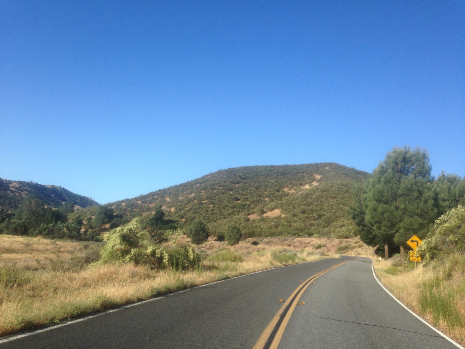
CA 146 East is only 2.45 miles and begins at CA 25. Surprisingly CA 146 East is signed very well with shields and mileage paddles.

There isn't much to CA 146 East. The road essentially just follows Sandy Creek to the Pinnacles National Park entrance station which used to be the boundary for Pinnacles National Monument. Odd that such a short route would have received an "end" placard in such a remote place.


Supposedly there was never any formal plans to connect CA 146 or it's precursor Legislative Route Number 120. Interestingly the 1935 California Division of Highways map of San Benito County shows state maintenance well into Pinnacles National Monument up to the Bear Gulch Reservoir.
1935 San Benito County Highway Map
The maintenance up to the Bear Gulch is important since it seems that the mileage for CA 146 as a full route seems to be based on the assumption of a through route would go through there. I think Daniel from CAhighways.org explained what I'm getting at better than how I worded it back on AAroads last year:
"A 1934 Division of Highways Map shows the eastern segment of LRN 120 (Route 146) running west from Route 25 into Pinnacles National Monument past the current terminus about a mile to Bear Gulch. The Bear Gulch Road is pretty much a straight to the western LRN 120 (Route 146) which makes it likely that this is what the post number gap is based off of. That means,if the map is correct, there was for a time a less than 2 mile gap between both segments of LRN 120 (Route 146). The state maps are too zoomed out really to provide any insight onto when the eastern segment of Route 120 might have been pulled back to the boundary with Pinnacles National Monument where the current Route 146 terminus is located. Route 146 in East Pinnacles still retains the same length that it had when it was a National Monument; this is because when the Monument was expanded to a Park, the boundary was expanded. That left Route 146 East maintained by Caltrans within the new National Park Boundary. From the west on Route 146 the highway segment is only 2.45 miles. Despite no reassurance markers westbound there is a Route 146 END sign at the former boundary for Pinnacles National Monument. The Eastern Segment of Route 146 has mileage markers ranging from 12.70 to 15.15. Essentially it is a straight line from the terminus of the western segment across the Pinnacles which ends at 10.19."
For further reference the page for CA 146 on CAhighways.org can be found here.
CAhighways.org on CA 146
So essentially the road ahead to the Bear Gulch Parking area in these photos was once part of LRN 120.

Of course who would go to Pinnacles National Park and not get some hiking in? I did some trail running up the Condor Gulch and High Peaks Trails.


I noticed reviewing some older Park Service Maps that the end point for CA 146 East was at the former boundary of Pinnacles National Monument before it was expanded to a National Park in 2013. Pinnacles National Park encompassed some of the area that had previously been outside the National Monument. The result was that CA 146 is actually a state maintained roadway within Pinnacles National Park. The difference between Pinnacles National Monument and Pinnacles National Park can be observed on these two maps.
Pinnacles National Monument Map
Pinnacles National Park Map
CA 146 East is only 2.45 miles and begins at CA 25. Surprisingly CA 146 East is signed very well with shields and mileage paddles.

There isn't much to CA 146 East. The road essentially just follows Sandy Creek to the Pinnacles National Park entrance station which used to be the boundary for Pinnacles National Monument. Odd that such a short route would have received an "end" placard in such a remote place.


Supposedly there was never any formal plans to connect CA 146 or it's precursor Legislative Route Number 120. Interestingly the 1935 California Division of Highways map of San Benito County shows state maintenance well into Pinnacles National Monument up to the Bear Gulch Reservoir.
1935 San Benito County Highway Map
The maintenance up to the Bear Gulch is important since it seems that the mileage for CA 146 as a full route seems to be based on the assumption of a through route would go through there. I think Daniel from CAhighways.org explained what I'm getting at better than how I worded it back on AAroads last year:
"A 1934 Division of Highways Map shows the eastern segment of LRN 120 (Route 146) running west from Route 25 into Pinnacles National Monument past the current terminus about a mile to Bear Gulch. The Bear Gulch Road is pretty much a straight to the western LRN 120 (Route 146) which makes it likely that this is what the post number gap is based off of. That means,if the map is correct, there was for a time a less than 2 mile gap between both segments of LRN 120 (Route 146). The state maps are too zoomed out really to provide any insight onto when the eastern segment of Route 120 might have been pulled back to the boundary with Pinnacles National Monument where the current Route 146 terminus is located. Route 146 in East Pinnacles still retains the same length that it had when it was a National Monument; this is because when the Monument was expanded to a Park, the boundary was expanded. That left Route 146 East maintained by Caltrans within the new National Park Boundary. From the west on Route 146 the highway segment is only 2.45 miles. Despite no reassurance markers westbound there is a Route 146 END sign at the former boundary for Pinnacles National Monument. The Eastern Segment of Route 146 has mileage markers ranging from 12.70 to 15.15. Essentially it is a straight line from the terminus of the western segment across the Pinnacles which ends at 10.19."
For further reference the page for CA 146 on CAhighways.org can be found here.
CAhighways.org on CA 146
So essentially the road ahead to the Bear Gulch Parking area in these photos was once part of LRN 120.

Of course who would go to Pinnacles National Park and not get some hiking in? I did some trail running up the Condor Gulch and High Peaks Trails.


Comments