Boise is the Idaho State Capital, Ada County Seat and Idaho's largest City. This past September Gribblenation staff writer Tom Fearer visited the City of Boise and much of the surrounding Metro Area. Below is a compellation of sites and infrastructure pieces around the Boise Metro Area that Tom thought would be interesting to Gribblenation readers. Pictured above is the view facing northward on Capitol Boulevard from the 1925 Union Pacific Depot towards the Idaho State Capitol Building.
Part 1; a brief history of the formation of the City of BoiseBoise lies within Boise Valley along the namesake Boise River. The origin of the City of Boise can be traced back to the establishment of Fort Boise on the Oregon Trail. The original Fort Boise was established in 1834 by Thomas McKay of the Hudson Bay Company near confluence of Boise River and Snake River close to modern Parma of Canyon County. The original Fort Boise was established at the same location of two prior fortifications which had been abandoned in the 1810s.
Fort Boise was originally a private venture by Thomas McKay which was supported by the Hudson Bay Company largely to facilitate fur trading. The Hudson Bay Company took full control of Fort Boise beginning in 1836. In 1838 Fort Point was relocated to the confluence of the Boise River and Snake River. Fort Boise was often prone to flooding due to it being wedged between two major rivers. Following a major flood and Shoshone attack on an emigrant train in 1853 the Army declared Fort Boise indefensible. With the Army's declaration the fur trade at Fort Boise stalled and relocated which led to the fortification being abandoned in 1854.
A 1849 sketch of the original Fort Boise can be seen on the historyglobe.com page on the Oregon Trail.
A second Fort Boise was commissioned on July 4th, 1863 during the American Civil War due to increased attacks on emigrants along the Oregon Trail. The location of the second Fort Boise was selected due to it being in a more defensible position north of the Boise River approximately fifty miles east of the original fortification. The second Fort Boise was also at the junction of Oregon Trail with the ION Cutoff (Idaho-Oregon-Nevada) to the Owyhee Mining District in Silver City onward to the California Trail and with the trail to Boise Basin Mining District of Idaho City.
On March 3rd, 1863 Idaho Territory was created with Lewiston serving as the Territorial Capital. A community began to develop around Fort Boise which incorporated as the City of Boise during 1864. Boise would also become the Ada County Seat after it split from Boise County during December 1864. Boise would become the Capital of Idaho Territory replacing Lewiston during 1866. Boise was retained as the Capital of Idaho when it obtained Statehood on July 3rd, 1890.
Boise can be seen on the 1872 Bancroft's Map of Oregon, Washington, Idaho, Montana and British Columbia along the Oregon Trail. The ION Cutoff towards Silver City and the road to Idaho City branching away from the City of Boise.
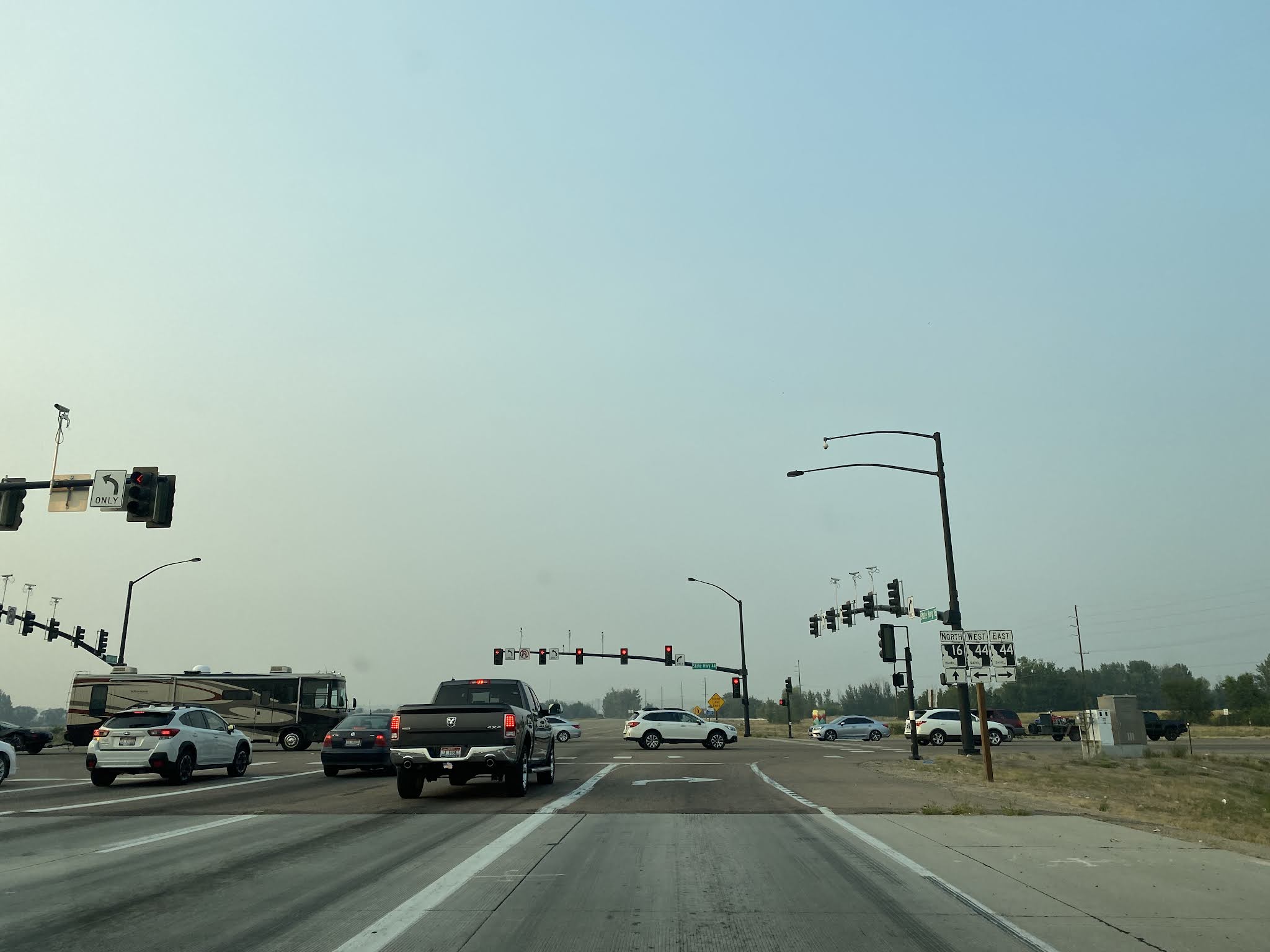
Part 2; the Idaho State Route 16 extension to US Route 20-26 and Interstate 84
In recent decades growth in the Boise Area has pushed westward from the City of Boise into the City of Eagle and the City of Meridian. The growth in Eagle and Meridian has seen a large amount of development along the corridor of Idaho State Route 55 on Eagle Road from Idaho State Route 44/State Street south to Interstate 84. The lack of a limited access facility connecting Idaho State Route 44 and Interstate 84 has led to pushes to extend Idaho State Route 16.
Phase 1 of the
Idaho State Route 16 extension saw the highway extended in 2014 south from Idaho State Route 44/State Street to it's present terminus at US Route 20-26/Chinden Boulevard. From US Route 20-26/Chinden Boulevard the new terminus of Idaho State Route 16 can be found approaching MacDermott Road.
Idaho State Route 16 north from US 20-26/Chinden/Boulevard to Idaho State Route 44 is known as the Central Valley Expressway. The Central Valley Expresway carries Idaho State Route 16 northward over the Boise River on a limited access grade to a junction with Idaho State Route 44/State Street.
Construction of
Idaho State Route 16 Phase 2 south of US Route 20-26 is expected to begin during the Spring of 2022 and will carry a full interchange structure at Interstate 84. Only one intersection south of US Route 20-26 is being planned at Ustick Road.
Part 3; exploring the ruins of Eagle Island Prison Farm
Eagle Island is a large island which lies between branches of the Boise River west of Boise and lies partially in the City of Eagle. A large plot of land on Eagle Island was purchased in 1929 by Idaho State Board of Prisons to develop a Penitentiary Farm. The Eagle Island Prison Farm opened in 1930 and operated until 1977 when it was shuttered. The State holdings on Eagle Island were subsequently repurposed in 1983 into
Eagle Island State Park. The entrance to Eagle Island State Park can be found on Idaho State Route 44/State Street via Eagle Island Parkway.
The ruins of the Eagle Island Prison Farm Warden's Home can be found at the end of Hatchery Road east of Eagle Island Parkway.
The ruins of the dairy barns and milk parlor can be found on an unnamed dirt road north of the Warden's House. The dairy barns and milk parlor were constructed during 1930.
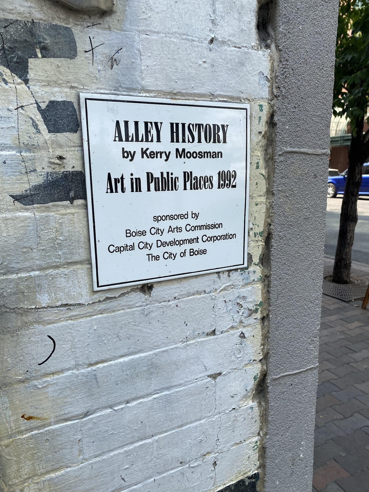
Part 4; Freak Alley Gallery
Freak Alley Gallery can be found in downtown Boise in an alley bounded by; 9th Street, Idaho Street, 8th Street and Bannock Street. Freak Alley Gallery was established in 1992 and features numerous street murals painted onto the back of numerous buildings lining the alleyway.
Part 5; the 9th Street Bridge
The 9th Street Bridge can be found south of downtown Boise where it crosses the Boise River. The 9th Street Bridge is a Pratt through truss design which was constructed in 1911 by the Missouri Valley Bridge Iron & Company.
The 9th Street Bridge is located upon the site of a ferry landing over the Boise River. The ferry landing to the City of Boise was plotted by the Broad of Commissioners of Idaho County along the Oregon Trail before Ada County was formed. The Boise River Ferry operated until 1868 when the owners hired a contractor to construct the Boise City Bridge. The Boise City Bridge was moved in 1911 twelve miles west to link the Boise Interurban Railway over the Boise River. The 9th Street Bridge was built upon the site of the Boise City Bridge and was part of the Boise Interurban Railway until 1928.
The 9th Street Bridge was part of Idaho-Pacific Highway #16 and hosted two major Auto Trails in the form of the Oregon Trail (the Auto Trai) and Evergreen National Highway. Idaho-Pacific Highway #16, Oregon Trail and Evergreen National Highway can all be seen following the 9th Street Bridge into downtown Boise on the
1924 Rand McNally Auto Trail Map of Washington, Oregon, California and Idaho.
The 9th Street Bridge carried the earliest alignment of US Route 30 in the City of Boise after the US Route System was created during November of 1926. The 9th Street Bridge can be seen delivering US Route 30 traffic into downtown Boise via 8th Street on the Old Oregon Trail State Highway on a undated
Thompson Brothers Map of Idaho. US Route 30 westbound is shown utilizing 8th Street, Main Street and Fairview Avenue to traverse downtown Boise.

US Route 30 was shifted to Capitol Boulevard in 1931 when the Capitol Boulevard Bridge was completed over the Boise River. The 9th Street Bridge remained in service until 1988 when converted to pedestrian use. The
9th Street Bridge was added to the National Register of Historic Places in 2001.
Part 6; the 1925 Union Pacific Depot
Idaho was bypassed entirely by the First Transcontinental Railroad in favor of states to the south. The Union Pacific completed it's Oregon Short Line Railroad through Idaho in 1884 but the line bypassed Boise to the south for more favorable grades. For a time the nearest railroad service to Boise was located southwest at the Union Pacific Depot in Kuna. Wagon trains would depart Boise towards Kuna via the Boise City Bridge and what was known as the 9th Street Pike.
By 1887 the Idaho Central Railroad constructed a twenty mile line connecting the Oregon Short Line Railroad in Nampa to Boise. The original Boise Depot was located south of downtown atop a bluff known as the Bench. Given trains had to back up the entire twenty miles from Nampa east to Boise the Idaho Central Railroad Line was not a very popular line. The 1887 Boise Depot can be seen in this photo below sourced from a historic plaque at the 1925 Union Pacific Depot.
In 1893 the Oregon Short Line Railroad built a spur line and a new depot building at the intersection of 10th Street and Front Street. The 1893 Boise Depot can be seen in the Union Pacific sourced photo along with a 1894 map of downtown Boise.
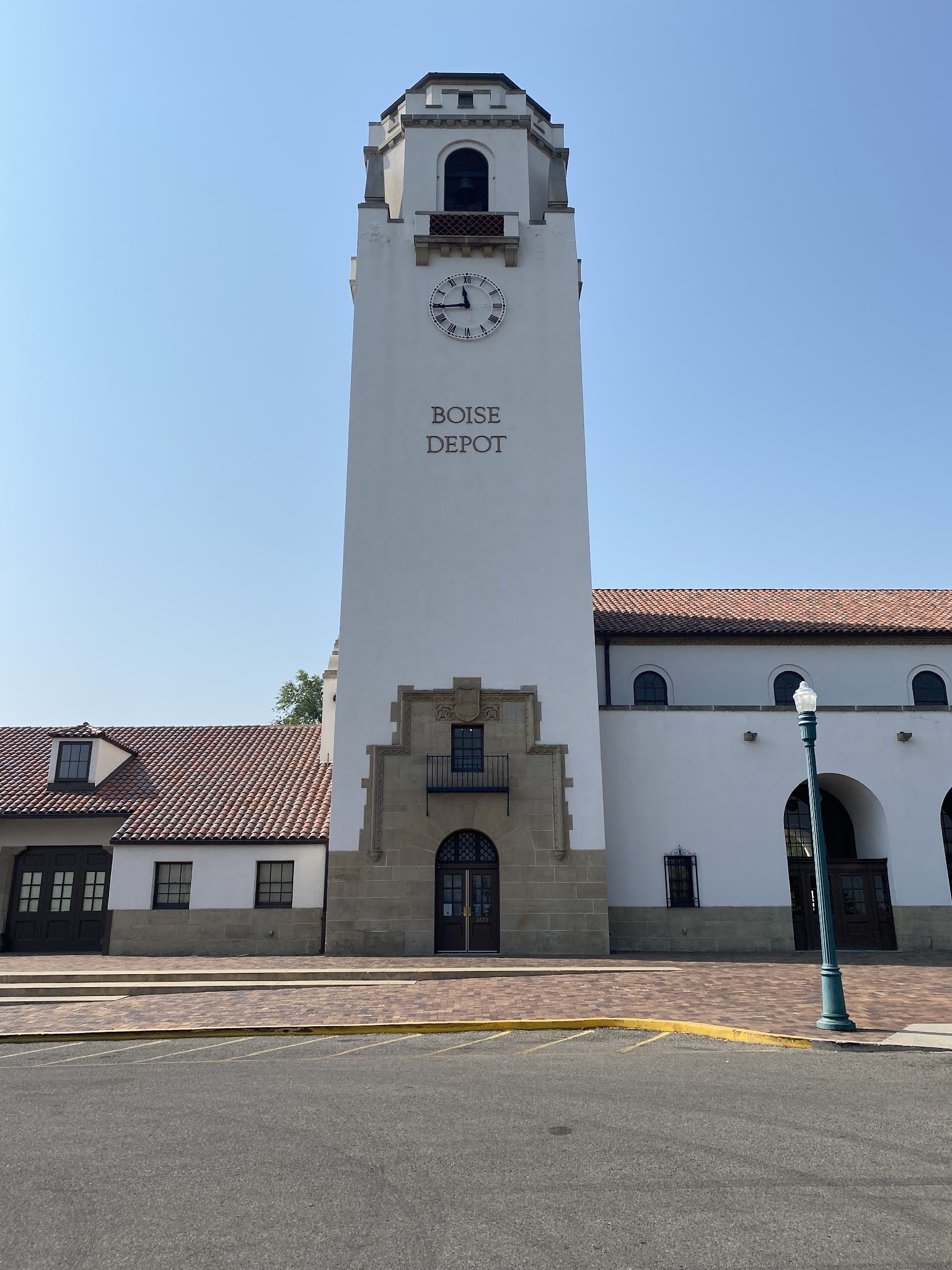
The Union Pacific Railroad constructed a forty four mile spur of the Oregon Short Line between Orchard and Nampa dedicated to passenger service by 1924. A new depot building was constructed by the Union Pacific Railroad atop the Bench (now Depot Hill) which saw the first passenger train arrive on April 16th, 1925. The first passenger train arriving at the 1925 Union Pacific Depot can be seen below in a Union Pacific Railroad sourced photo.
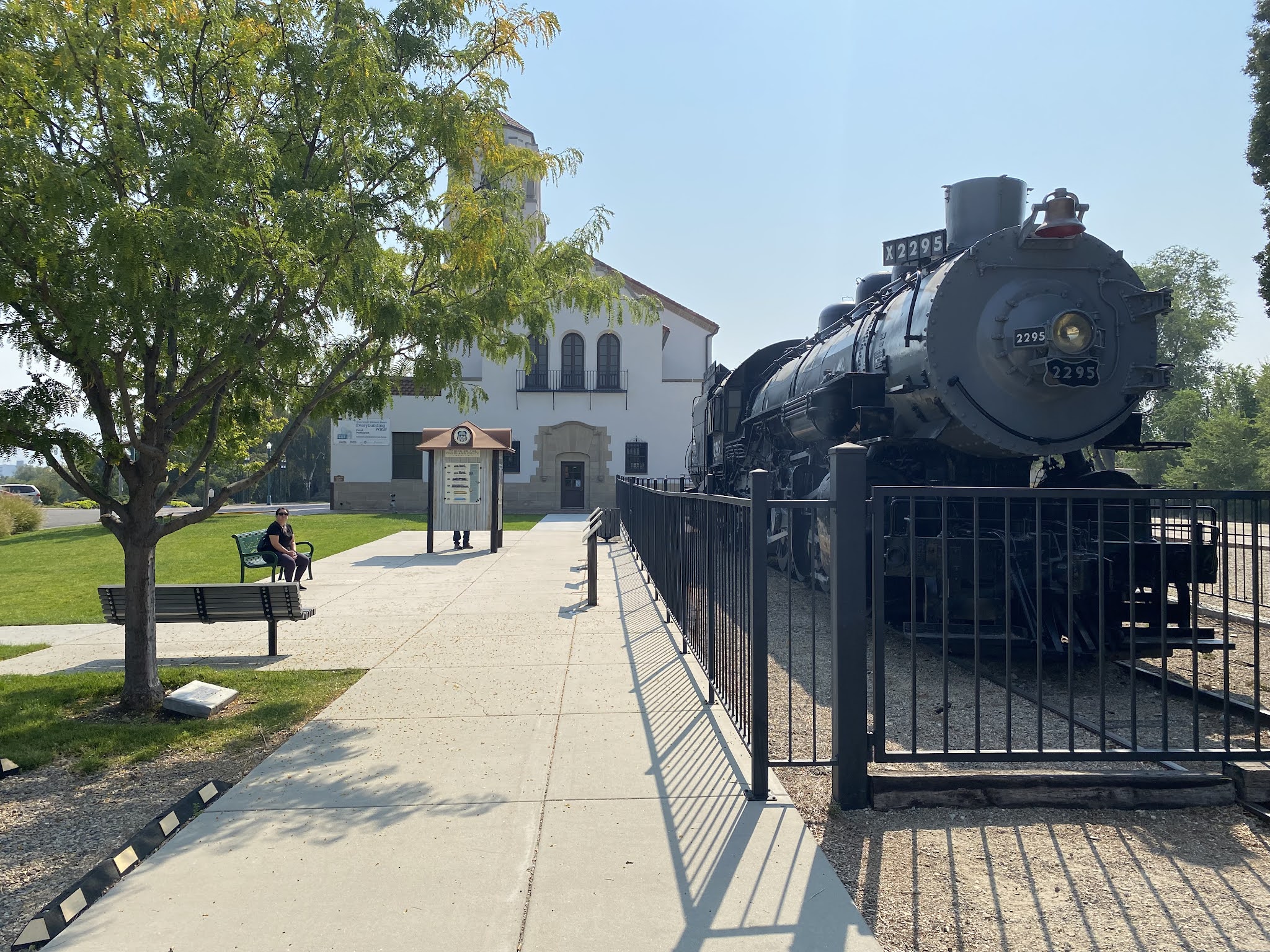
Passenger service to Boise peaked during the onset of World War II. Following the completion of the Interstate 80N bypass of downtown Boise during November of 1969 passenger service to Boise began a steady decline. Amtrak service continued to Boise and the 1925 Union Pacific Depot until it was discontinued in 1997. Upon the end of passenger service the City of Boise took over control of the Union Pacific Depot and converted to a museum/event center.
From Capitol Boulevard the Union Pacific Railroad stands out towering above the City atop Depot Hill.
The Union Pacific Depot and Depot Hill are accessible from Vista Avenue.
Facing north from the Union Pacific Depot offers a commanding view of downtown Boise, Capitol Boulevard and the Boise State Capitol.
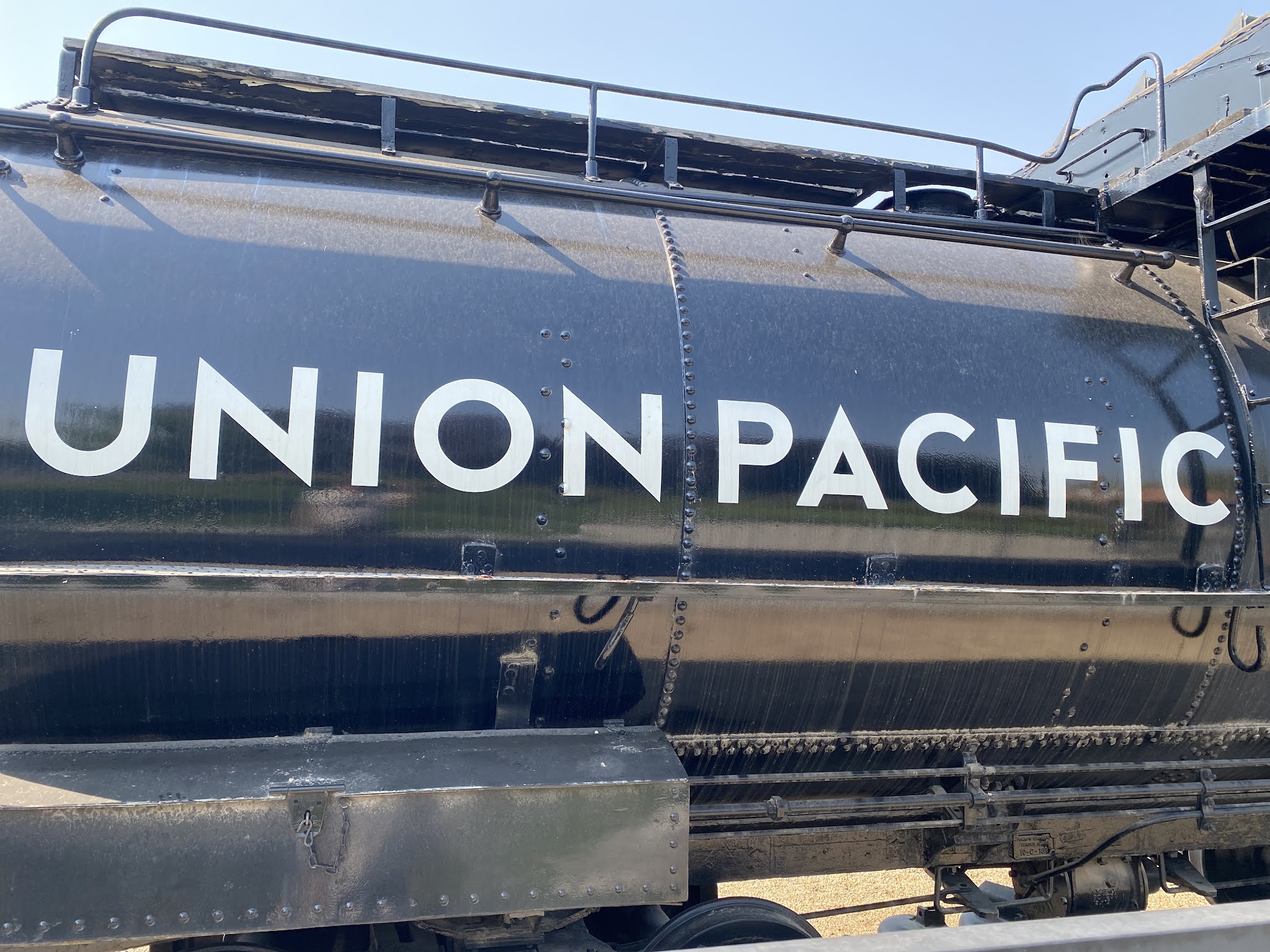
Union Pacific Engine #2295 (AKA Big Mike) can be found on the western facade of the 1925 Union Pacific Depot.
Part 7; the 1931 Capitol Boulevard Bridge and Idaho State Capitol
As noted in Part 6 the 1925 Union Pacific Railroad Depot offers a commanding view of Capitol Boulevard and the Idaho State Capitol.
7th Street was designated as Capitol Avenue upon the opening the 1925 Union Pacific Depot given it had a direct line of sight to the Idaho State Capitol. As noted in Part 5 the Capitol Avenue Bridge opened in 1931 as a replacement for the 9th Street Bridge. The Capitol Avenue Bridge is a 310 foot long arch concrete design.
The Capitol Boulevard Bridge facing northbound over the Boise River.
The 9th Street Bridge from the Capitol Boulevard Bridge.
The Capitol Boulevard Bridge served as the alignment of US Route 30 beginning in 1931. US Route 20 was extended through Boise in 1940 which was followed by US Route 26 in 1951. US Route 20-26-30 can be seen entering downtown Boise westbound via the Capitol Boulevard and intersecting Idaho State Route 21 at Front Street on the
1956 Shell Oil Map of Boise. US Route 20-26-30 are seen multiplexing west on Front Street and Fairview Avenue over the Boise River.
Capitol Boulevard intersects modern US Route 20-26 eastbound at Myrtle Street.
Capitol Boulevard intersects modern US Route 20-26 westbound at Front Street.
The Idaho State Capitol comes to dominate more and more of the view of Capitol Boulevard approaching it's terminus at Jefferson Street.
The Idaho State Capitol is located at 700 West Jefferson Street. Construction of the Idaho State Capitol began in 1905 and would not conclude until 1920.
The view facing south from the Idaho State Capitol along Capitol Boulevard towards the 1925 Union Pacific Depot.
The Idaho State Capitol features a Classic Revival design. The Capitol dome is constructed from various types of marble and features one of the most subjectively pleasing designs of any U.S. State Capitol building.
Part 8; the Boise Botanical Gardens and Old Idaho Penitentiary
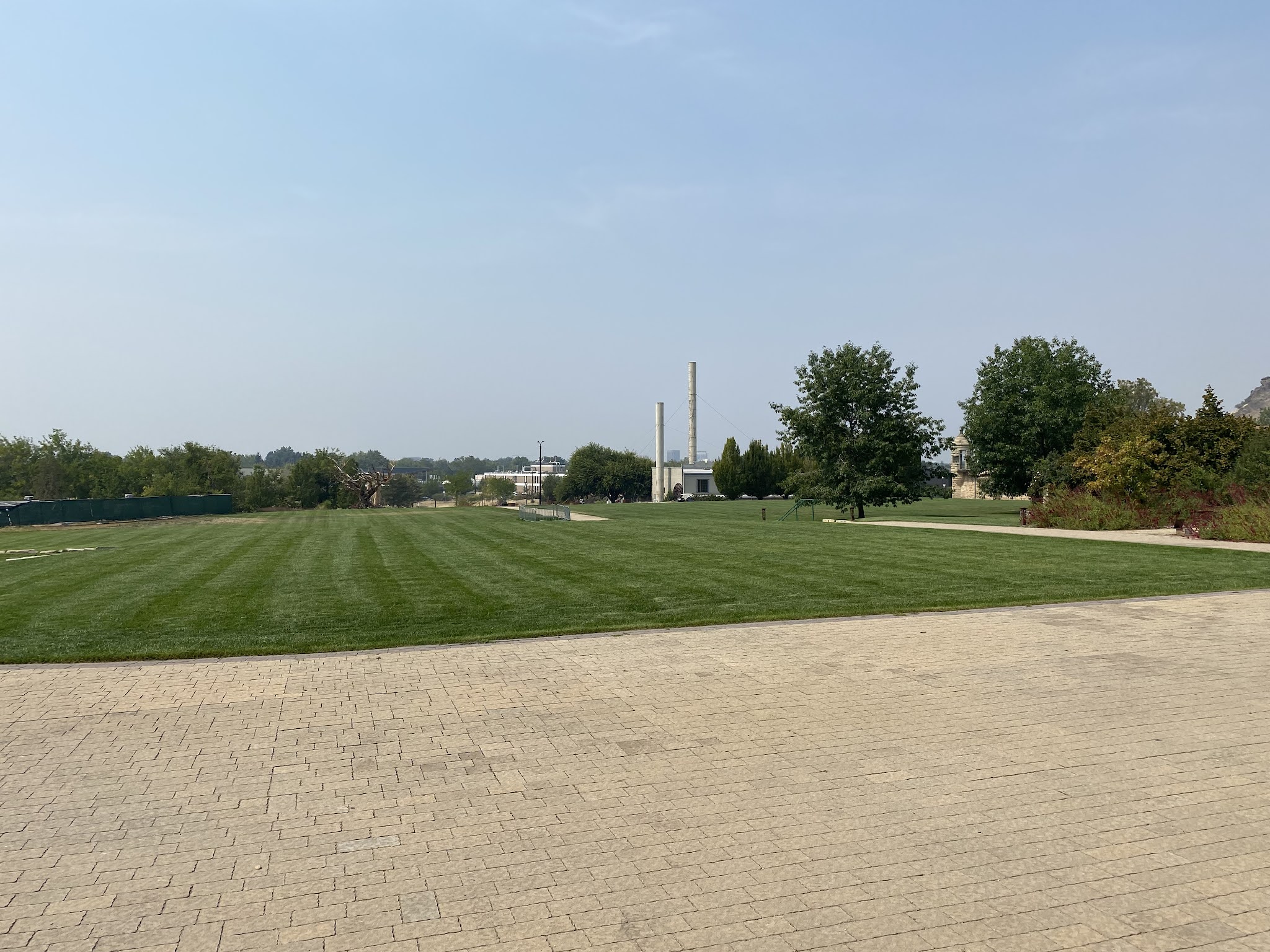
The Old Idaho State Penitentiary and Idaho Botanical Gardens can be found east of downtown Boise on Old Penitentiary Road. The Old Idaho State Penitentiary was constructed between 1870-72 and was operational until being shuttered in December 1973. The Idaho Botanical Garden was founded in 1984 in what was Yard #2 of the Old Idaho State Penitentiary.
The Idaho Botanical Garden features numerous types of different gardens which now line much of what was once Yard #2. Table Rock can be seen overhead to the east along with a partial skyline vista of downtown Boise to the west.
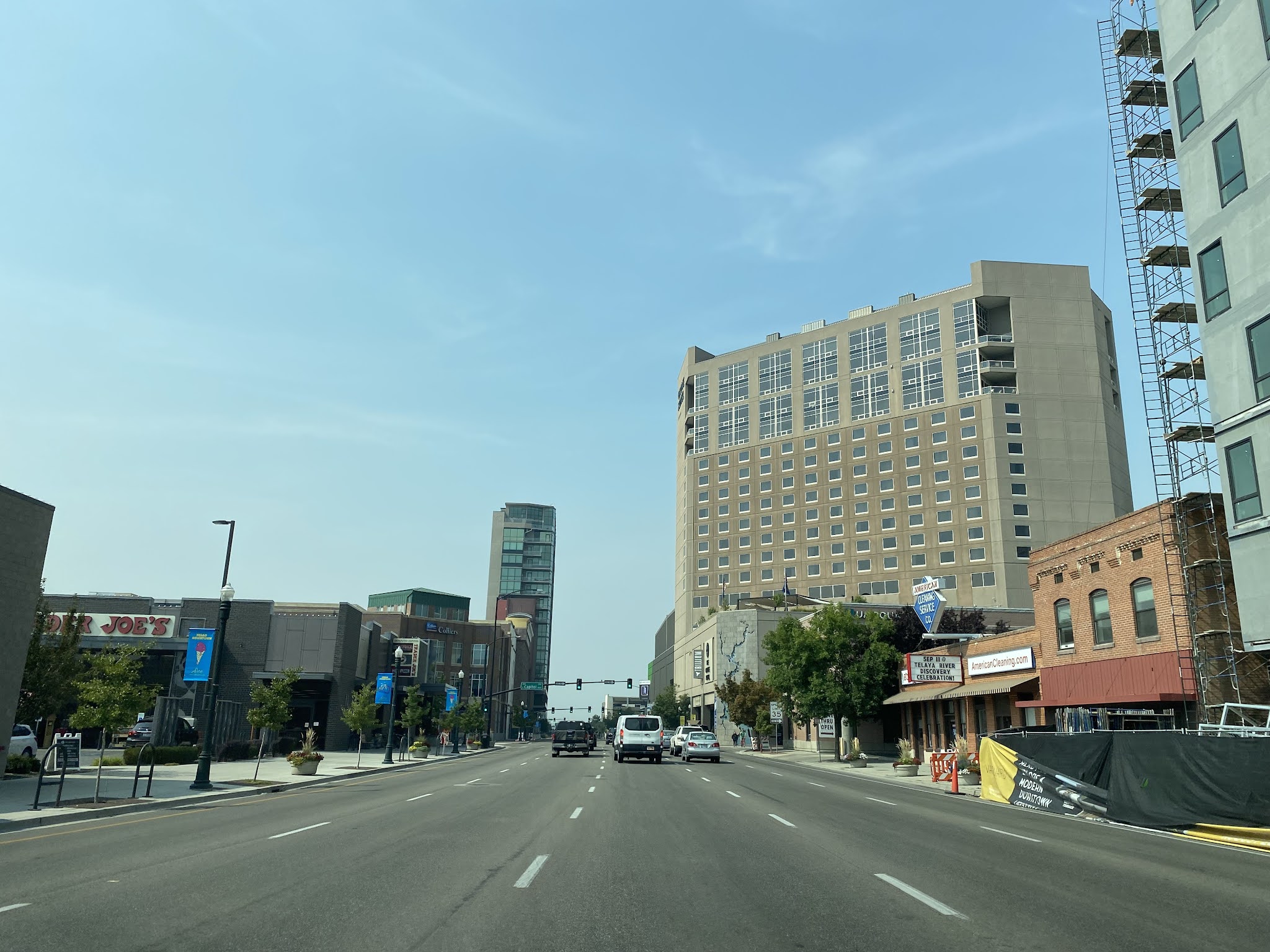
Part 9; street scenes and miscellaneous locations in downtown Boise
The intersection of 9th Street and Bannock Street facing southeast.
Bannock Street facing east towards the Idaho State Capitol at 8th Street.
Scenes along the closed segment of 8th Street in downtown Boise. Much of 8th Street was closed in 2020 to allow outdoor dining during the early stages of the COVID-19 pandemic.
The Idanha Hotel building was constructed in 1901 and is located at the intersection of 10th Street and Main Street. The Idanha Hotel building since the 1970s has been converted to apartment usage.
The Record Exchange located at 1105 W Idaho Street has been in operation since 1977.
The Rose Garden can be found in Julia Davis Park and was dedicated in 1939.
The Cathedral of St. John the Evangelist can be found 775 North 8th Street and was completed in 1921.
Westside Drive In can be found at 1929 West State Street. Westside Drive In opened in 1950s and offers the typical diner food which was common to the era.
Part 10; a drive on Interstate 184 (the Boise Connector)
The westernmost segment of modern Interstate 184 opened to traffic as Interstate 180N during December 1968. As originally conceived Interstate 180N would have formed a loop through downtown Boise to/from Interstate 80N. When Interstate 80N was renumbered to Interstate 84 during October 1979 Interstate 180N was renumbered to Interstate 84 Business. Interstate 84 Business was renumbered to Interstate 184 during 1990 when the entire route was brought up to Interstate standards. A new bridge on Interstate 184 in was constructed during 1992 which was followed by the Interstate 84/Interstate 184 junction being rebuilt circa 1999-2004. Interstate 184 in total is only 3.62 miles in length.
Modern US Route 20-26 westbound utilize a bridge over Broadway near the campus of Boise State University. Westbound US Route 20-26 turn left at Front Street towards Interstate 184 through downtown Boise.
US Route 20-26 westbound follows Front Street through downtown Boise and multiplexes onto Interstate 184 west of 13th Street.
Interstate 184/US Route 20-26 westbound cross the Boise River. Upon crossing the Boise River US Route 20-26 depart Interstate 184 via unnumbered Exit towards Garden City.
Interstate 184 westbound Exit 2 accesses Curtis Road and Fairview Avenue.
Interstate 184 westbound Exit 1B accesses Cole Road whereas Exit 1A accesses Franklin Road.
Interstate 184 Exit 0 serves as the terminus of the freeway at Interstate 84.


Comments