Part 2 of the Jalisco series picks up where Part 1 left off and mostly focuses on my visit to the City of Guadalajara.

Part 1 of the Jalisco Series can be found below:
2020 Jalisco, Mexico Road Trip Part 1
Part 5; Autopista 54D over Laguna San Marcos
On my way back to Zacoalco de Torres from Lake Chapala I took Autopista 54D southbound over Laguna de San Marcos after merging off of Federal Highway 15 northbound. After descending the hill side the limited access Auto Pista 54D has a toll facility which cost $84 Pesos. Traffic on Autopista 54D southbound has a return ramp to Gaudalajara immediately beyond the tollbooth.

Autopista 54D south costs a total of $272 Pesos to reach Colima. Colima is signed as 147 Kilometers south of the tollbooth.

Autopistas in general are a pretty decent analog to the standards seen on the Interstates. Autopistas even includes traffic devices such as Variable Message Signs.

Autopista 54D southbound enters the mostly dry Laguna de San Marcos on a raised grade. The grade of Autopista 54D includes a warning regarding frequent dust storms. After crossing Laguna de San Marcos I pulled off of Autopista 54D southbound onto Camino Real to reach Zacoalco de Torres.


Part 6; Federal Highway 15 northbound and Avenida Adolfo Lopez to Guadalajara
My approach to Federal Highway 15 northbound was from Federal Highway 54 north and Federal Highway 80 east.


Federal Highway 15 north climbs in elevation and intersects Federal Highway GUA 10D. Federal Highway GUA 10D essentially is a limited access bypass of Guadalajara and is more known as Libramiento Sur de Guadalajara.


After interesting Federal Highway GUA 10D the route of Federal Highway 15 north descends into


Federal Highway 15 north crosses through Santa Cruz de las Flores and intersects Metropolitan South Circuit. Interestingly Federal Highway 54 briefly appears somewhat co-signed at the split of Metropolitan South Circuit.


Despite being a well engineered surface expressway there are some unique traffic issues that can be seen on Federal Highway 15 north like unsecured brick loads.


Oddly the turn off for Las Plazas Outlet has Federal Highway 39 signage which shouldn't be present.

Federal Highway 15 north continues into San Agustin and the Guadalajara Metropolitan Area.


Federal Highway 15 north begins to have some small limited access underpass segments starting in San Agustin.


The artwork on some of the overpasses on Federal Highway 15 is...interesting?

Federal Highway 15 north passes through Los Gavilanes and San Jose del Tajo before entering Zapopan.


Federal Highway 15 north intersects Anillo Periferico Norte Manuel Gomez. Anillo Periferico Norte Manuel Gomez has signage directing traffic to segments of Federal Highway 15D.


Federal Highway 15 north splits onto Avenida Mariano Otero approaching the City Limits of Guadalajara. I stayed straight onto Avenida Adolfo Lopez Mateos.


Avenida Adolfo Lopez Mateos passes through a couple of underpasses and enters the City of Guadalajara. Avenida Adolfo Lopez Mateos passes under Federal Highway 15 in front of Hotel Riu Plaza Guadalajara. Hotel Riu Plaza Guadalajara opened in 2011 is the tallest building in Guadalajara at 705 feet.


Avenida Adolfo Lopez Mateos northbound passes under Minerva Roundabout and Glorieta Colon via a series of tunnels.


I followed Avenida Adolfo Lopez Mateos to it's northern end and made an southern turn onto Avenida de las Americas to backtrack towards Central Guadalajara.


Part 7; Mercado Libertad
After spending what seemed like an infinite amount of time attempting to negotiate the narrow streets and construction zones in Central Guadalajara I arrived at Mercardo Libertad.

Mercado Libertad is officially known as "San Juan de Dios Market" and is the largest indoor market place in Latin America. Mercado Libertad opened in December of 1958 and operates in a facility which is approximately 430,000 square feet. Mercado Libertad has a three floor interior which somewhat resembles something you'd see out of the first Blade Runner movie.


The exterior of Mercado Libertad is lined with access doors and shops that are open to the surrounding City streets.


The courtyard and bottom floor of Mercado Libertad feature numerous food stands. I partook in a large torta (which might have been the best I've ever had) on the lower level before leaving Mercado Libertad for the airport.

Mercado Libertad is located at the intersection of Calzada Independencia and Avenida Francisco Javier Mina.


Part 8; Federal Highway 23 to Miguel Hidalgo y Costilla Guadalajara International Airport
My path from Mercado Libertad to Miguel Hidalgo y Costilla Guadalajara International Airport ("GDL") was through the City Streets of Guadalajara gradually to Federal Highway 23. From Mercado Libertad on Avenida Francisco Javier Mina I turned south on Caldaza Independencia.

Traffic headed south to GDL is directed to turn off of Caldaza Independencia onto Avenida Dr. Roberto Michel.


Avenida Dr. Roberto Michel south enters Tlaquepaque and junctions Federal Highway 80. Avenida Dr. Roberto Michel merges into Federal Highway 23 south.


Federal Highway 23 south splits one-way around the western flank of a large hill and merges back in with the northbound lanes near Avenida San Martin.


Federal Highway 23 south passes through Las Pintas and Las Pintitas. South of Las Pintitas Federal Highway 23 reaches the entrance of GDL on the outskirts of El Refugio.


Part 1 of the Jalisco Series can be found below:
2020 Jalisco, Mexico Road Trip Part 1
Part 5; Autopista 54D over Laguna San Marcos
On my way back to Zacoalco de Torres from Lake Chapala I took Autopista 54D southbound over Laguna de San Marcos after merging off of Federal Highway 15 northbound. After descending the hill side the limited access Auto Pista 54D has a toll facility which cost $84 Pesos. Traffic on Autopista 54D southbound has a return ramp to Gaudalajara immediately beyond the tollbooth.

Autopista 54D south costs a total of $272 Pesos to reach Colima. Colima is signed as 147 Kilometers south of the tollbooth.

Autopistas in general are a pretty decent analog to the standards seen on the Interstates. Autopistas even includes traffic devices such as Variable Message Signs.

Autopista 54D southbound enters the mostly dry Laguna de San Marcos on a raised grade. The grade of Autopista 54D includes a warning regarding frequent dust storms. After crossing Laguna de San Marcos I pulled off of Autopista 54D southbound onto Camino Real to reach Zacoalco de Torres.


Part 6; Federal Highway 15 northbound and Avenida Adolfo Lopez to Guadalajara
My approach to Federal Highway 15 northbound was from Federal Highway 54 north and Federal Highway 80 east.


Federal Highway 15 north climbs in elevation and intersects Federal Highway GUA 10D. Federal Highway GUA 10D essentially is a limited access bypass of Guadalajara and is more known as Libramiento Sur de Guadalajara.


After interesting Federal Highway GUA 10D the route of Federal Highway 15 north descends into


Federal Highway 15 north crosses through Santa Cruz de las Flores and intersects Metropolitan South Circuit. Interestingly Federal Highway 54 briefly appears somewhat co-signed at the split of Metropolitan South Circuit.


Despite being a well engineered surface expressway there are some unique traffic issues that can be seen on Federal Highway 15 north like unsecured brick loads.


Oddly the turn off for Las Plazas Outlet has Federal Highway 39 signage which shouldn't be present.

Federal Highway 15 north continues into San Agustin and the Guadalajara Metropolitan Area.


Federal Highway 15 north begins to have some small limited access underpass segments starting in San Agustin.


The artwork on some of the overpasses on Federal Highway 15 is...interesting?

Federal Highway 15 north passes through Los Gavilanes and San Jose del Tajo before entering Zapopan.


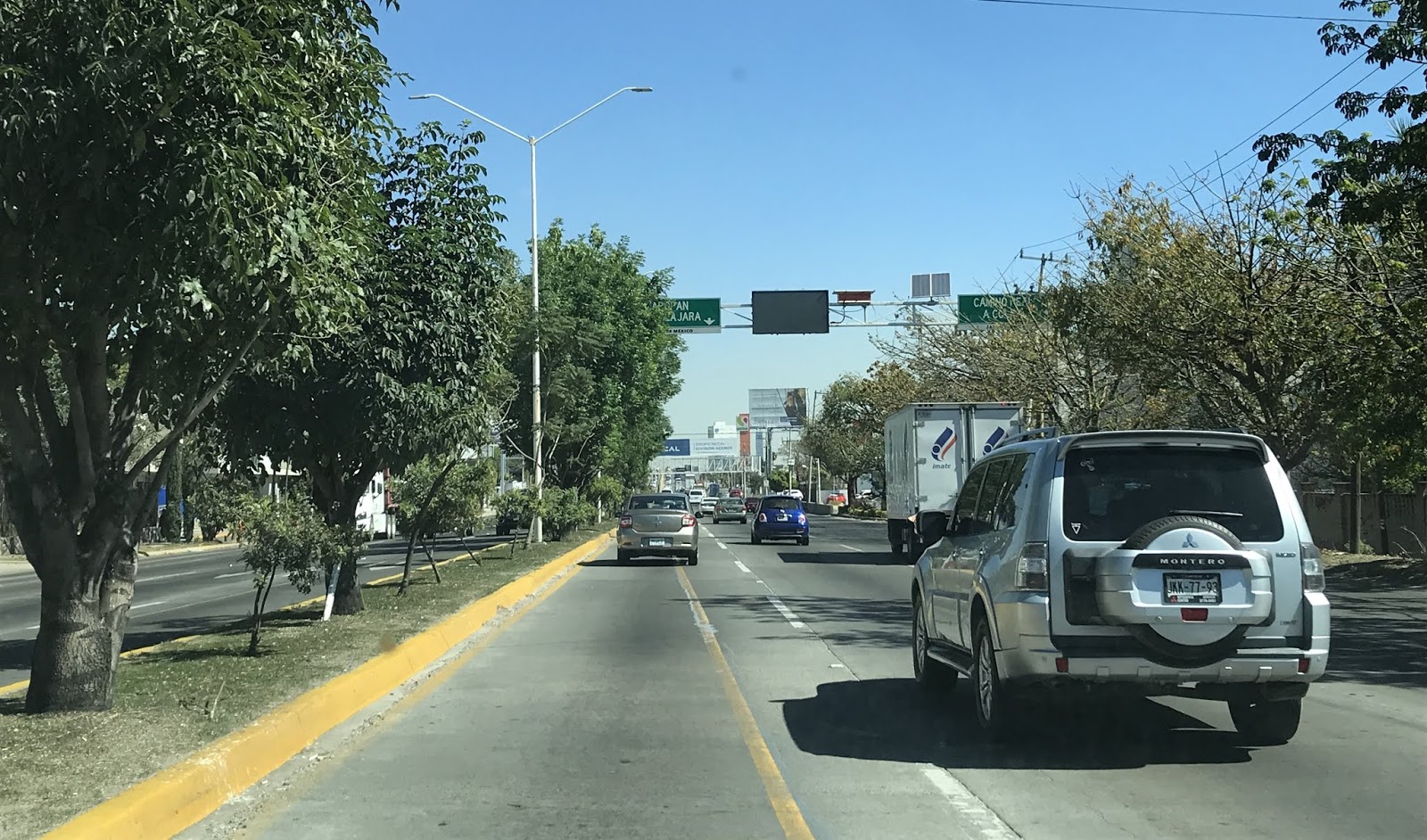


Federal Highway 15 north intersects Anillo Periferico Norte Manuel Gomez. Anillo Periferico Norte Manuel Gomez has signage directing traffic to segments of Federal Highway 15D.


Federal Highway 15 north splits onto Avenida Mariano Otero approaching the City Limits of Guadalajara. I stayed straight onto Avenida Adolfo Lopez Mateos.


Avenida Adolfo Lopez Mateos passes through a couple of underpasses and enters the City of Guadalajara. Avenida Adolfo Lopez Mateos passes under Federal Highway 15 in front of Hotel Riu Plaza Guadalajara. Hotel Riu Plaza Guadalajara opened in 2011 is the tallest building in Guadalajara at 705 feet.


Avenida Adolfo Lopez Mateos northbound passes under Minerva Roundabout and Glorieta Colon via a series of tunnels.


I followed Avenida Adolfo Lopez Mateos to it's northern end and made an southern turn onto Avenida de las Americas to backtrack towards Central Guadalajara.


Part 7; Mercado Libertad
After spending what seemed like an infinite amount of time attempting to negotiate the narrow streets and construction zones in Central Guadalajara I arrived at Mercardo Libertad.

Mercado Libertad is officially known as "San Juan de Dios Market" and is the largest indoor market place in Latin America. Mercado Libertad opened in December of 1958 and operates in a facility which is approximately 430,000 square feet. Mercado Libertad has a three floor interior which somewhat resembles something you'd see out of the first Blade Runner movie.


The exterior of Mercado Libertad is lined with access doors and shops that are open to the surrounding City streets.


The courtyard and bottom floor of Mercado Libertad feature numerous food stands. I partook in a large torta (which might have been the best I've ever had) on the lower level before leaving Mercado Libertad for the airport.

Mercado Libertad is located at the intersection of Calzada Independencia and Avenida Francisco Javier Mina.


Part 8; Federal Highway 23 to Miguel Hidalgo y Costilla Guadalajara International Airport
My path from Mercado Libertad to Miguel Hidalgo y Costilla Guadalajara International Airport ("GDL") was through the City Streets of Guadalajara gradually to Federal Highway 23. From Mercado Libertad on Avenida Francisco Javier Mina I turned south on Caldaza Independencia.

Traffic headed south to GDL is directed to turn off of Caldaza Independencia onto Avenida Dr. Roberto Michel.


Avenida Dr. Roberto Michel south enters Tlaquepaque and junctions Federal Highway 80. Avenida Dr. Roberto Michel merges into Federal Highway 23 south.


Federal Highway 23 south splits one-way around the western flank of a large hill and merges back in with the northbound lanes near Avenida San Martin.


Federal Highway 23 south passes through Las Pintas and Las Pintitas. South of Las Pintitas Federal Highway 23 reaches the entrance of GDL on the outskirts of El Refugio.


Comments