
Former US Route 101 from San Lucas to San Ardo

 
San Lucas and San Ardo both are located in Salians Valley of southern Monterey County along the eastern bank of the Salinas River.  Former US Route 101 before the present freeway was constructed was carried via Cattleman Road.  


Part 1; the history of US Route 101 in San Lucas and San Ardo

Both San Lucas and San Ardo were plotted by the Southern Pacific Railroad in 1886 as siding facilities.  San Ardo was originally known as San Bernardo but the community took it's present name upon receiving Post Office Service in 1887.  Conversely San Lucas took it's name from the Mexico Rancho San Lucas.  Both San Lucas and San Ardo can be seen on the 1890 George F. Cram Railroad Map of California.  

The era of State Highway Maintenance through San Lucas and San Ardo would ultimately begin with the 1909 First State Highway Bond Act which was approved by voters in 1910.  One of the highways approved through the 1909 First State Highway Bond Act was a 481.8 mile highway originating at the City Limits of San Francisco which terminated in San Diego.  This highway would ultimately come to be known in time as Legislative Route Number 2 ("LRN 2").

San Lucas and San Ardo was ultimately part of the American El Camino Real which began being signed as an Auto Trail starting in 1906.  Unlike the Spanish El Camino Real which was aligned west of the Salinas River to stay on path to Mission San Antonio de Padua and Mission Nuestra Senora de la Soledad the path of LRN 2 was aligned mostly through the center of Salinas Valley.  Early LRN 2 and the American El Camino Real can be seen on what is now Cattleman Road from the outskirts of King City southward to San Ardo on the 1917 California State Automobile Association Map.  Notably LRN 2 is shown with a planned rerouting east of the Southern Pacific Railroad which never was constructed. 


LRN 2 through San Lucas-San Ardo is shown on the 1920 Clason Highway Map of California as part of the American El Camino Real and the Pacific Highway.  The Pacific Highway was plotted out as an Auto Trail association in 1913.  

The initial draft of the US Route System was approved by the Secretary of Agriculture during November of 1925.  The US Route System with in California was approved by California Highway Commission with no changes recommended by January 1926.  The initial alignment of US Route 101 ("US 101") was planned to follow LRN 2 from San Francisco to San Diego.  US 101 is shown on a map published in the 1926 California Highways & Public Works following LRN 2 south from San Francisco towards San Diego.


During November of 1926 the US Route System was approved by the AASHO.  US 101 can be seen aligned through San Lucas and San Ardo on the 1927 National Map Company Sectional Map

Originally US 101/LRN 2 headed southbound passed through San Ardo via Railroad Street and Jolon Street.  US 101/LRN 2 followed Jolon Street via a bridge over the Salinas River.  US 101/LRN 2 was subsequently realigned in 1929 when the present Cattleman Road Bridge was constructed.  The December 1929 California Highways & Public Works notes the alignment shift of US 101/LRN 2 in San Ardo due to the construction of the Cattleman Road Bridge.   


The original bridge over the Salinas River is cited as being constructed in 1907 and being only 15 feet wide in the July/August 1929 California Highways & Public Works.  


US 101/LRN 2 can be seen in detail through San Lucas and San Ardo on the 1935 California Division of Highways Map of Monterey County

The May/June 1965 California Highways & Public Works discusses US 101 being upgraded to a freeway from San Ardo south to Bradley.  The San Lucas-San Ardo segment of US 101 is stated to be in the design phase for a freeway upgrade. 


Subsequently the planned San Lucas-San Ardo freeway upgrade of US 101 appears on the 1966 Division of Highways State Map.  

US 101 was upgraded to a freeway between San Lucas-San Ardo during the early 1970s and first appears completed on the 1975 Caltrans State Map


Part 2; a drive on former US Route 101 on Cattleman Road from San Lucas to San Ardo

Our approach to former US 101/Cattleman Road begins from California State Route 198 westbound entering San Lucas at the Union Pacific Railroad Subway.  

CA 198 west intersects Cattleman Road at the southern outskirts of San Lucas.  

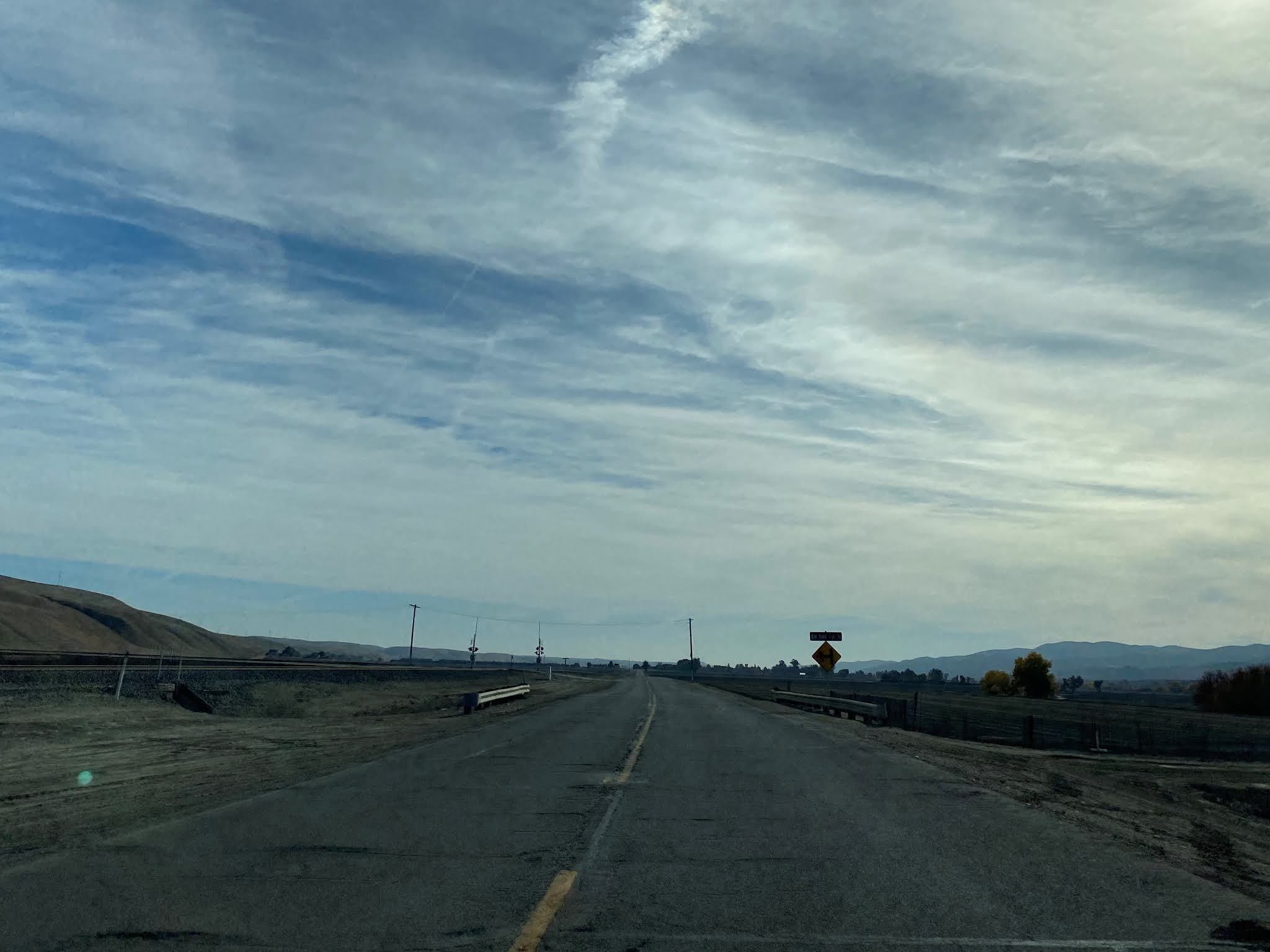
Cattleman Road follows as a western frontage of the Union Pacific Railroad and Gabilan Range from San Lucas to San Ardo.  


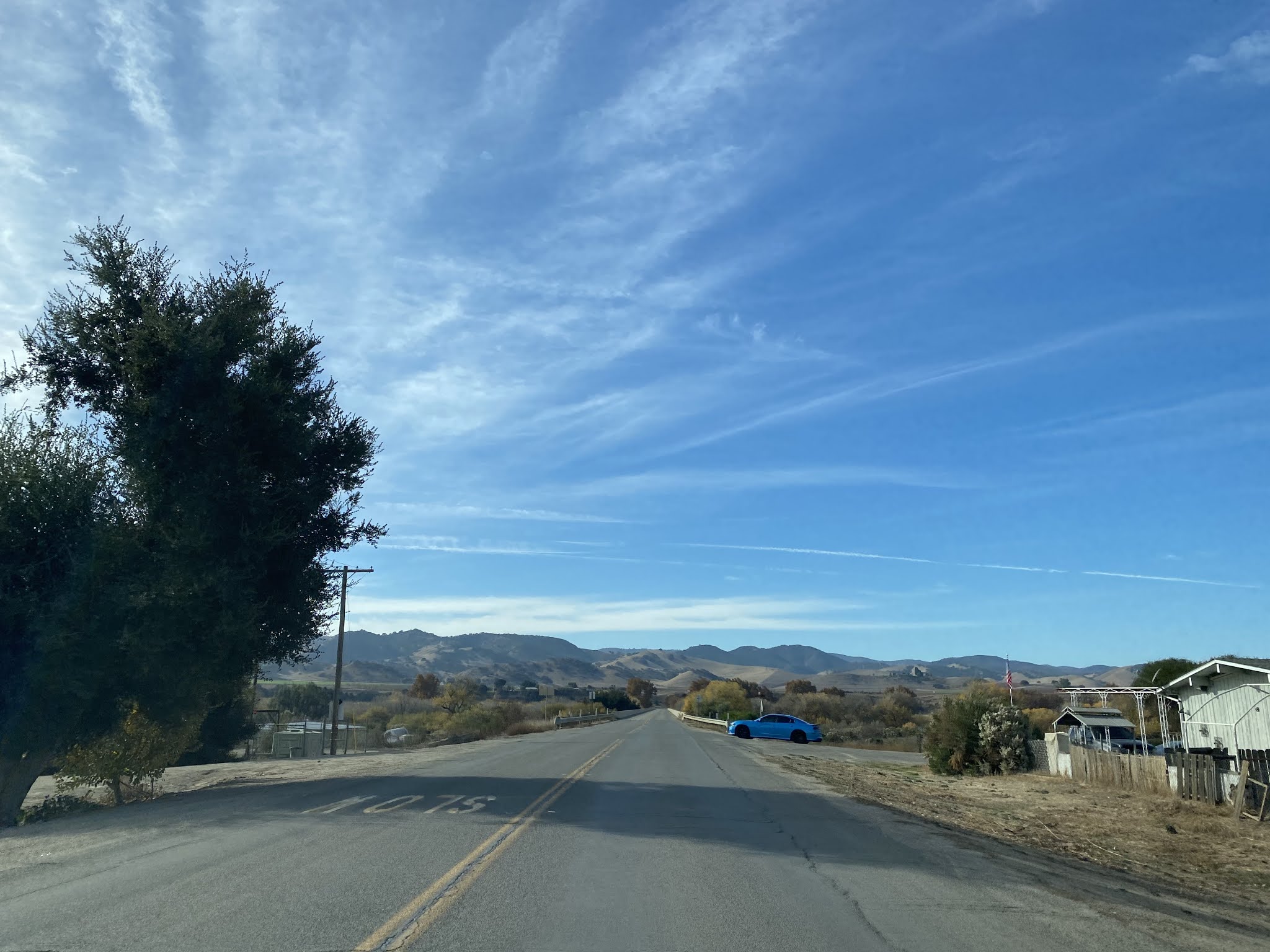
Upon entering San Ardo the alignment of Cattleman Road swings west towards the Salinas River. 

Cattleman Road crosses the Salinas River via the 1929 Cattleman Road Bridge and meets the current US 101 freeway.  The Cattleman Road Bridge is Warren Deck Truss design which is 1,654 feet in length.  


Comments

Popular posts from this blog

2018 Mojave Road Trip Part 2; The deadly desert highway (California State Route 127 and Nevada State Route 373)

After leaving Barstow via Old Highway 58 my next destination was in Death Valley.  To access Death Valley from rural San Bernardino County required a trek on north on Interstate 15 to California State Route 127 which becomes Nevada State Route 373 at the state line. Along I-15 I encountered the road sign oddity that is Zzyzx Road about eight miles south of Baker.   Zzyzx Road is a four mile road that used to go to the Zzyzx Mineral Springs and Health Spa.   The spa was founded in the 1940s and the owner made up the name "Zzyzx" to claim it was the last word in the English Language.  The spa has been shut down since the 1970s and is now part of a Desert Studies Center for California State University. The southern terminus of CA 127 in Baker is located at I-15 exit 246.  CA 127 is a 91 mile north/south highway which runs to the Nevada State Line in Inyo County.  CA 127 is called Death Valley Road from I-15 northward.  South of CA 127 ...

Finding the Pre-Emption Road of New York State

  The Pre-Emption Road (or rather a series of roads named Pre-Emption Road) follows a survey line called the Pre-Emption Line, drawn in the early days of the United States. The story begins with Massachusetts and New York having competing land claims to modern day Western New York State that have their roots in colonial charters granted by the British. After the Revolutionary War ended, this land became the frontier of the nation and its settlement became a priority for the new American government. During this era, there were a lot of competing land claims that needed to be settled. It was no different with the land claims between New York State and Massachusetts. On November 30, 1786, Massachusetts and New York sent representatives to Hartford, Connecticut to resolve their competing land claims. In less than three weeks, the representatives had reached a compromise. Massachusetts would receive pre-emption rights, meaning the right to sell the land after the Indian title ...

What's In a Name?: When the Roads Really Do Tell a Story

  Our tagline on the Gribblenation blog is "because every road tells a story". Some roads tell different stories than others. Along our travels, we may see historic markers that tell us a little story about the roads we travel or the places we pass by. Some historic markers are more general, as to telling us who lived where or what old trail traversed between two towns. During my travels across New York State and other states or provinces, I pass by many historic markers, some with interesting or amusing references to roads. I wanted to highlight a few of the markers I've seen along my travels around the Empire State and help tell their stories. Those stories may be as specific as explaining the tales of a tree that was used to help measure a distance of eight miles from Bath to Avoca in Steuben County, as referenced on the Eight Mile Tree historical marker above. They may also help point the way along historical roads first used centuries ago, or may help tell a local l...