
South Point Road is 10.7-mile rural roadway located on the southern tip of the Hawaiian Big Island. As the name suggests the corridor accesses South Point (Ka Lae) which is the southernmost point in the fifty U.S. states. The largely one-lane South Point Road was constructed to facilitate overland travel from Mamalahoa Highway to a lighthouse facility constructed during 1906-1908. South Point Road has never had a Hawaii Route designation and is mostly carried by a single lane of asphalt.

This page is part of the Gribblenation Hawaii Roads series. A compellation of all Hawaii-related media from both Gribblenation and RoadwayWiz can be found by clicking here.

Part 1; the history of South Point Road
South Point is known as Ka Lae (alternatively Kalae) in the Hawaiian language and is located at the southern tip of the Big Island. As the name implies South Point is geographically the southernmost point in the fifty U.S. states.
South Point is known to be the site of one of the earliest Polynesian settlements on the Hawaiian Islands. It is generally thought to be the site of the first Polynesian landing in Hawaii due to the Big Island being the closest located to Tahiti. Ruins of a Hawaiian heiau (temple) and a fishing shrine are known to exist the area.
A lighthouse was opened at South Point during March 1906. During 1908 the United States Coast Guard would construct a home site for a groundskeeper. A roadway was also constructed to the lighthouse which connected it to the Mamalahoa Highway near Waiohinu.
South Point Road can be seen terminating at the tip of the Big Island on the 1924 United States Geological Survey map of Kalae.

A steel tower would be erected to boost the height of the South Point Lighthouse in 1929. The location would become a major point of tourist interest during the early automotive era on the Big Island due to the geographic significance. The South Point Lighthouse is displayed as a major destination on the 1930 Hilo Chamber of Commerce map of the Big Island.

During 1941 amid World War II Morse Field was constructed as an Army Air Field. An active military base was in service at the location until 1948 when it was declared surplus. Until 1953 the South Point Air Force Station would remain in use as an emergency runway facility.
The Hawaii Route System was expanded to the Big Island during 1955. Despite the tourism notoriety South Point Road would not be assigned as one of the initial Big Island Hawaii Routes. Despite not having a route designation South Point Road appears as a major roadway on the 1959 Gousha Highway map of Hawaii.

South Point was one of the final sites to be considered by NASA to launch rockets into space. Ultimately the location was determined to be far too remote and instead was repurposed into a space tracking station which operated under Air Force command from 1964-1965. A radar tower would be maintained at South Point until 1983.

Part 2; a drive along South Point Road
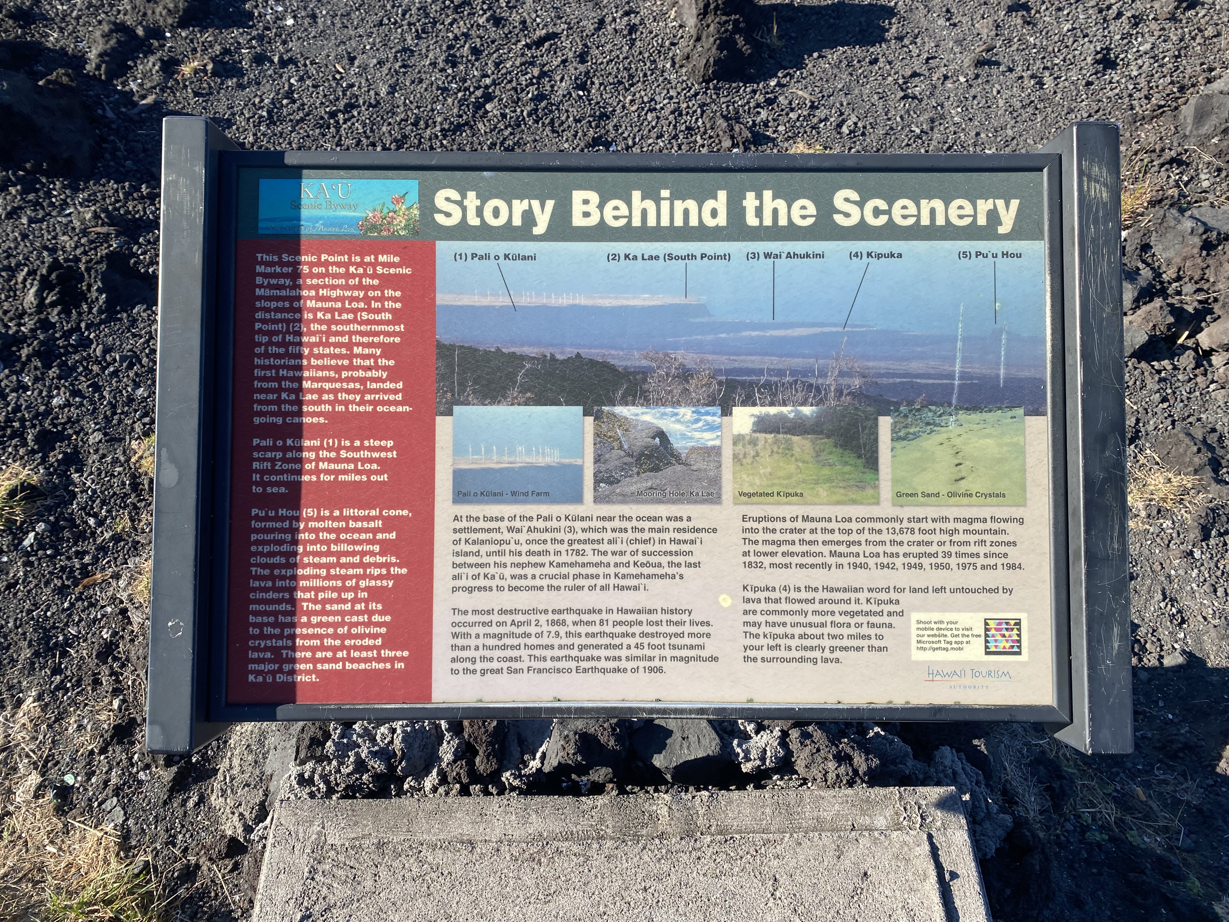
South Point is viewable from a vista located on Hawaii Route 11 (Mamalahoa Highway) near the community of Ocean View.


South Point Road begins at Hawaii Route 11 near Waiohinu. Traffic is advised South Point itself is 12 miles from Hawaii Route 11.

Much of South Point Road is a single lane wide but paved. As of 2024 Enterprize Rental Car advises not to drive South Point Road on their Big Island map but does not outright prohibit it. The highway can be seen below is a series of Josh Schmid photos.


South Point can be seen below (Josh Schmid photo).

The return trip northbound on South Point Road (Josh Schmid photo).

Comments