
Pool Station Road


Pool Station Road is 12.6-mile rural highway located in the Sierra Nevada foothills of Calaveras County.  The corridor connects from California State Route 49 near downtown San Andreas south to California State Route 4 near Copperopolis.  

Pool Station Road is named after a stage station which was located on Reeds Turnpike (now California State Route 4) between Copperopolis and Altaville.  The corridor was developed during the 1920s to permit highway access to the Calaveras Cement plant.  Despite being located in the Sierra Nevada foothills much of Pool Station Road is winding and features numerous large dips in terrain.  


Part 1; the history of Pool Station Road

The name of Pool Station Road is a reference to Pool Station.  Pool Station was located along the Goldrush era Reeds Turnpike between Copperopolis and Altaville (now part of Angels Camp).  The station was located approximately where Pool Station Road has a southern terminus at California State Route 4.

Pool Station Road is a modern highway corridor which was meant to facilitate access to the Calaveras Cement plant.  Calaveras Cement incorporated in 1925 and was based out of a plant located on Pool Station Road.  The company is most well-known for supplying cement to the construction site of Pardee Dam.  

Pool Station Road can be seen connecting from California State Route 49 in downtown San Andreas and extending south California State Route 4 near Copperopolis on the 1935 Division of Highways map of Calaveras County.  Part of early Pool Station Road is shown along what is now Church Hill Road in San Andreas. 


Calaveras Cement would construct a 5.5-mile short line railroad from their plant to quarries located east of Calaveritas.  This short line railroad would be converted into private road usage during the 1990s and now known as cement plant road. 

Calaveras Cement would be sold in 1959 and again in 1979.  The company would be shuttered in 1983 due to being unable to compete with foreign cement prices and a high cost to modernize their plant.  Despite the shuttering of Calaveras Cement the road to the quarry remains private and inaccessible to the public. 


Part 2; a drive on Pool Station Road

Modern Pool Station Road begins at California State Route 49 north of downtown San Andreas. 


Southbound Pool Station Road intersects Cement Plant Road approximately one mile south of California State Route 49.  The ruins the Calaveras Cement Plant can be found west of the intersection.  


Pool Station Road crosses San Antonio Creek.


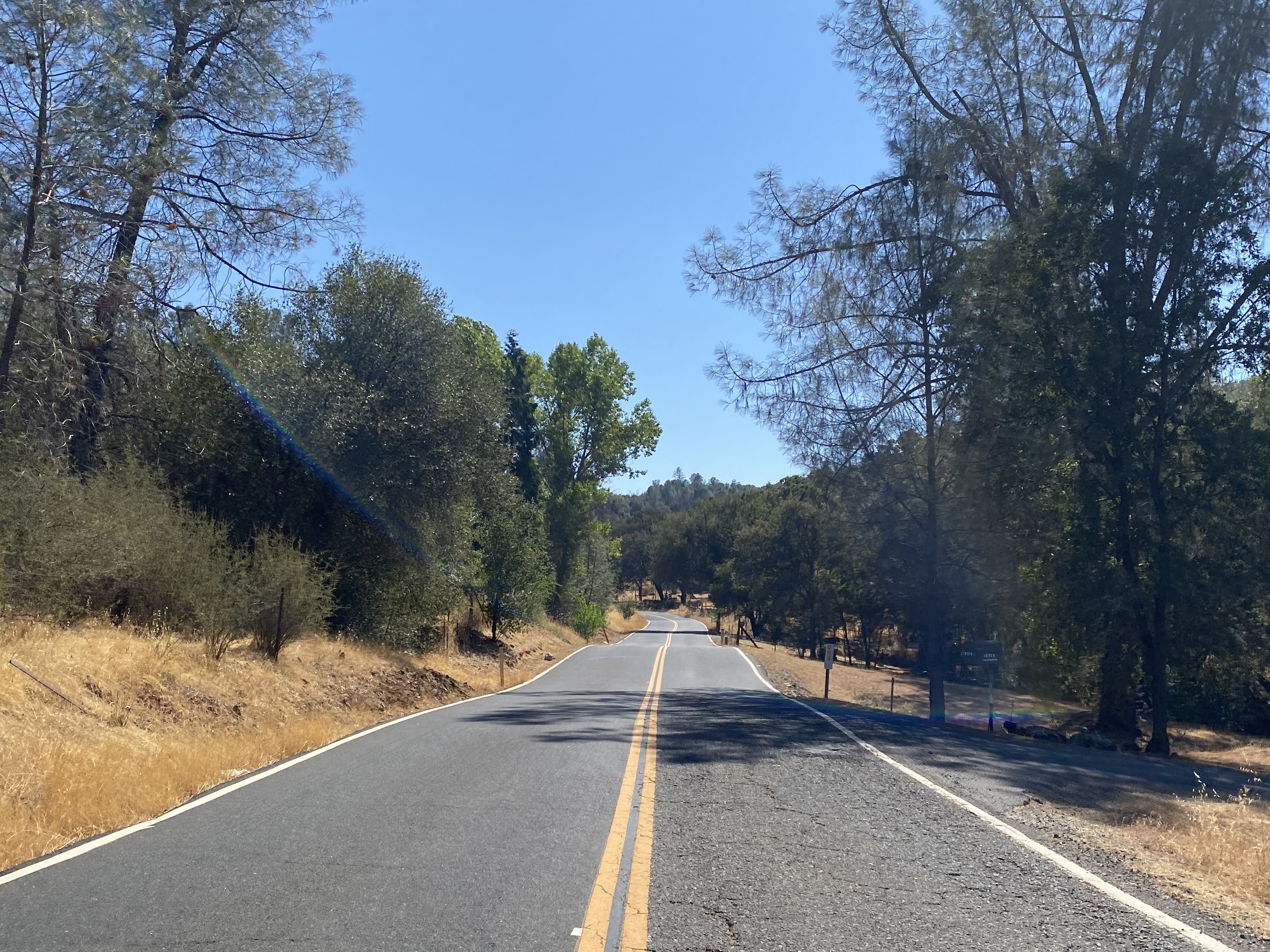
Pool Station Road becomes a winding mountain road and continues south to a bridge over South Fork Calaveras River.  


The remaining balance of Pool Station Road south of the South Fork Calaveras River is a winding mountain road which features numerous dips and fast curves.  The roadway ends at California State Route 4 near Copperopolis.  


Comments

Popular posts from this blog

What's In a Name?: When the Roads Really Do Tell a Story

  Our tagline on the Gribblenation blog is "because every road tells a story". Some roads tell different stories than others. Along our travels, we may see historic markers that tell us a little story about the roads we travel or the places we pass by. Some historic markers are more general, as to telling us who lived where or what old trail traversed between two towns. During my travels across New York State and other states or provinces, I pass by many historic markers, some with interesting or amusing references to roads. I wanted to highlight a few of the markers I've seen along my travels around the Empire State and help tell their stories. Those stories may be as specific as explaining the tales of a tree that was used to help measure a distance of eight miles from Bath to Avoca in Steuben County, as referenced on the Eight Mile Tree historical marker above. They may also help point the way along historical roads first used centuries ago, or may help tell a local l...

May 2023 Ontario Trip (Part 3 of 3)

  Over the years, I have made plenty of trips to Ontario, crisscrossing the southern, central and eastern parts of the province. Living in Upstate New York, it's pretty easy to visit our neighbor to the north, or is that our neighbor to the west? Ottawa is one of my favorite cities to visit anywhere in the world, plus I've discovered the charm of Kingston, the waterfalls of Hamilton (which is on the same Niagara Escarpment that brings us Niagara Falls), the sheer beauty of the Bruce Peninsula, and more. But I hadn't explored much of Cottage Country. So I decided to change that, and what better time to go than over Memorial Day weekend, when the daylight is long and I have an extra day to explore. On the third and final day of my trip, I started in Huntsville and made my way through Muskoka District and Haliburton County, passing by many lakes along the way. I stopped in towns such as Dorset, Haliburton and Bancroft before making a beeline down to Belleville and then over th...

2018 Mojave Road Trip Part 2; The deadly desert highway (California State Route 127 and Nevada State Route 373)

After leaving Barstow via Old Highway 58 my next destination was in Death Valley.  To access Death Valley from rural San Bernardino County required a trek on north on Interstate 15 to California State Route 127 which becomes Nevada State Route 373 at the state line. Along I-15 I encountered the road sign oddity that is Zzyzx Road about eight miles south of Baker.   Zzyzx Road is a four mile road that used to go to the Zzyzx Mineral Springs and Health Spa.   The spa was founded in the 1940s and the owner made up the name "Zzyzx" to claim it was the last word in the English Language.  The spa has been shut down since the 1970s and is now part of a Desert Studies Center for California State University. The southern terminus of CA 127 in Baker is located at I-15 exit 246.  CA 127 is a 91 mile north/south highway which runs to the Nevada State Line in Inyo County.  CA 127 is called Death Valley Road from I-15 northward.  South of CA 127 ...