Jalisco State Highway 401 is a 92-kilometer route which can be found in southern portions of the Mexican state. The highway originates at Federal Highway 80 near Acatlán de Juárez and terminates to the south at the boundary of Ciudad Guzmán. The corridor effectively serves as the free alternative to Federal Highway 54D in the Acatlán de Juárez-Ciudad Guzmán and is aligned west of numerous dry lakes.
What is now Jalisco State Highway 401 was originally numbered as Jalisco State Highway 27. The corridor was reassigned as Jalisco State Highway 54 in 1989 to provide a matching free surface routing to supplement Federal Highway 54D. The modern route number was assigned somewhat recently and serves the parent route to numerous 4XX numbered Jalisco State Highways.
Part 1; the history of Jalisco State Highway 401
Prior to the establishment of the Jalisco State Highway system the towns now served by Jalisco State Highway 401 used frontages of the numerous dry lakes the corridor is known for. These lakes while dry for most of the year were infamous for suddenly flooding during periods of heavy rains which rendered them impassable. The then existing roadway network of southern Jalisco can be seen on the
1922 Direccion de Estudios Geografícos y Climatologicos map.

Before the establishment of Federal Highway 54D in southern Jalisco there was no direct connection between Guadalajara and Colima on the Federal Highway System. Traffic was required to use either Jalisco State Highway 27 or Federal Highway 15 south of Guadalajara to reach Federal Highway 110 to continue towards Colima. Jalisco State Highway 27 reached Federal Highway 15 by way of Ciudad Guzmán and Tecalitlán. Reaching Federal Highway 110 via Federal Highway 15 required following a path along the south shore of Lake Chapala to Jiquilpan in the state of Michoacán.
The above-described highways can be seen in detail on the
1956 Shell Highway map of Mexico.
The so-called Guadalajara-Colima Highway Section began development in the states of Jalisco and Colima in 1987 and was assigned the route number of
Federal Highway 54D. The 148-kilometer Autopista was made functional in January 1989 and is considered to be part of the Gulf-Pacific Highway Transversal Axis.
Uniquely Federal Highway 54D in southern Jalisco exists in a corridor which largely does not have a free surface routing numbered Federal Highway 54. What had been Jalisco State Highway 27 for a time was renumbered as Jalisco State Highway 54 from Federal Highway 80 near Acatlán de Juárez south to Ciudad Guzmán. From Ciudad Guzmán southward into Colima state and Colima city a surface Federal Highway 54 was designated to run as a frontage of Federal Highway 54D. Jalisco State Highway 54 would later be renumbered as Jalisco State Highway 401.
The present 92-kilometer scale of Jalisco State Highway 401 takes it from the northern limit of Ciudad Guzmán to Federal Highway 80 near Acatlán de Juárez.
Part 2; a drive on Jalisco State Highway 401
As Jalisco State Highway 401 continues north of Jalisco State Highway 404 it passes the communities of Techaluta de Montenegro and Anoca.
North of Anoca Jalisco State Highway 401 intersects Jalisco State Highway 404 near El Zapote. Jalisco State Highway 404 continues east over the bed of Laguna de Sayula to Teocuitatlán de Corona.
Jalisco State Highway 401 continues north via a climb in the western hills fronting El Zapote and Laguna de Sayula.
Jalisco State Highway 401 passes through the town of Zacoalco de Torres. The highway passes numerous eastern entrances to the town along with the entrance to the switchback road known as Paseo del Cerrito. Paseo del Cerrito climbs westward to Santuario de la Virgen de Guadalupe.

Zacoalco de Torres is one of the largest towns on Jalisco State Highway 401. The entomology of "Zacoalco" comes from the word "Tzacoalco" which is thought to have meant "place of confinement," "in the pyramind," or "place where eagles perch." The area that is now Zacoalco de Torres was settled by the Aztecs in 1264. The Aztecs settled upon Chiquihuitillo Hill which rests between Laguna de Zacoalco and Laguna de San Marcos. In 1524 the Spanish arrived in the Aztec lands surrounding Laguna de Zacoalco. Most Aztecs fled to the south towards Laguna de Sayula in response to Spanish Conquistador Francisco Cortes de San Buenaventura attempting to subdue them by force. The Spanish invasion prompted the commissioning of the Town of Zacoalco.
In 1810 during the Mexican War of Independence the Town of Zacoalco was taken by revolutionary Jose Antonio Torres during the Battle of Zacoalco. The Town of Zacoalco was renamed to Zacoalco de Torres in 1829 in memory of Jose Antonio Torres and the battle which took place there. During Mexican rule Zacoalco de Torres mostly came to be known for the numerous homemade wood furniture (equipales) stores which are located in the town.
Jalisco State Highway 401 north of Zacoalco de Torres passes by the village of La Cruz.
Jalisco State Highway 401 north of La Cruz crosses over the Ferromex railroad line and enters Benito Juárez (better known as Santa Catarina).
North of Benito Juárez Jalisco State Highway 401 intersects Jalisco State Highway 437.
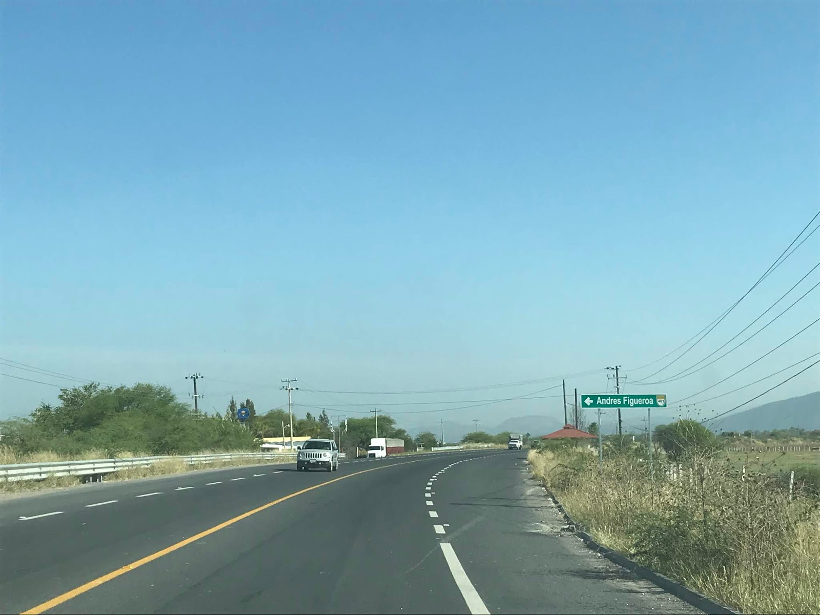
Northbound Jalisco State Highway 401 passes by the community of General Andrés Figueroa.
Jalisco State Highway 401 continues north towards Federal Highway 80 and crosses over the entranceway of Centro Logistico Jalisco.
Jalisco State Highway 401 northbound intersects Jalisco State Highway 402.
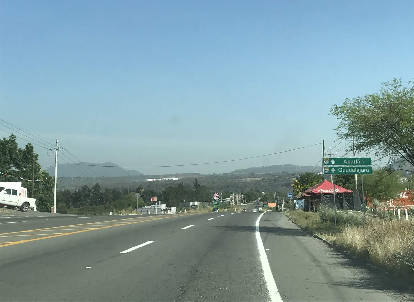
Jalisco State Highway 401 north of Jalisco State Highway 402 is signed as 8 Kilometers from Acatlán de Juárez and 40 kilometers from Guadalajara.
Jalisco State Highway 401 northbound approaches Acatlán de Juárez and begins to climb the town on a hillside bypass.
Northbound Jalisco State Highway 401 terminates at Federal Highway 80.


Comments