Jacksonville was a California Gold Rush mining community located on the Tuolumne River of southwest Tuolumne County. The original alignments of California State Route 49 and California State Route 120 both once passed through the town site of Jacksonville. Jacksonville was razed during 1967-71 to make way for the expanded Don Pedro Lake which inundated the town site. Featured as the cover photo is California State Route 49 and California State Route 120 near Jacksonville as seen in the July/August 1963 California Highways & Public Works. Below the original alignments of California State Route 49 and California State Route 120 in the Jacksonville area can be seen contrasted to the modern highway alignments.

Part 1; the history of California State Route 49 and California State Route 120 in Jacksonville
Jacksonville was a community located on the Tuolumne River in southwest Tuolumne County. Jacksonville was settled during Spring 1849 by Julian Smart along a location on the Tuolumne River which became a hot bed of mining activity. Jacksonville was named in honor of Colonel Alden Jackson who settled in the community during Autumn of 1849. Jacksonville obtained Post Office Service during October 1851 and is reported to have had a census population of 252. Unlike many other Gold Rush era mining towns Jacksonville would remain relevant into the onset of American involvement in World War II due to the prospects of the Eagle-Shawmut Mine.
Jacksonville can be seen in southwest Tuolumne County the 1857 Britton & Rey's Map of California.
Early access to from Jacksonville to Big Oak Flat and Garotte was initially difficult as only a haggard foot trail on the southern flank of Grizzly Gulch existed in the early California Gold Rush. Travelers ascending the Grizzly Gulch Trail would pass by what ultimately become Priest Station which had been established in 1849 as a mining supply store. A ferry crossing across the Tuolumne River across what is now known as Murderer's Gulch was developed by Joseph Ward during 1850.
Wards Ferry included a new highway which provided direct access between Sonora and the Big Oak Flat-Groveland area.
In 1853 the Grizzly Gulch Trail was declared a public highway by Tuolumne County. By 1859 a new highway was completed along the southern flank of Grizzly Gulch as a franchise toll road. This highway at the time was known as the Grizzly Gulch Wagon Road and provided direct access from Jacksonville to the Big Oak Flat-Groveland area. The Grizzly Gulch Wagon Road proved not to be as popular as Wards Ferry from Sonora due to the high gradients and longer distance traveled. In time the Grizzly Gulch Wagon Road would come to be known as the Priest Grade (alternatively Priest Hill). Priest Grade Road can be seen linking Jacksonville to Big Oak Flat on the
1882 Bancroft's Map of California & Nevada.

According to yosemitechamber.org by the emergence of the 20th Century it could take
wagon trains two days to travel from Chinese Camp to reach Big Oak Flat via Jacksonville. The slow pace of travel was largely dictated by the heavy climb on the Priest Grade which made it difficult for large loads to ascend. By 1901 some early steam cars were able to ascend the Priest Grade but it proved to be nearly impossible for early gasoline powered cars. In 1912 the communities of Big Oak Flat and Groveland hired a surveyor to locate a new grade along the northern flank of Grizzly Gulch as replacement for the Priest Grade. Construction of a seven-foot-wide roadway along northern Grizzly Gulch began in 1912 via local donations. The original Priest Grade Road can be seen between Jacksonville and Big Oak Flat on the
1912 United States Geological Map of the Sonora area.

By 1913 the New Priest Grade Road was completed. Both New Priest Grade Road was purchased by Tuolumne County as a public roadway. New Priest Grade Road permitted easier travel to the Big Oak Flat-Groveland area for automobiles. The State of California added the New Priest Grade Road as part of
Legislative Route Number 40 (LRN 40) via 1915 Legislative Chapter 396. Specifically, the New Priest Grade Road and the Big Oak Flat Road were brought into the State Highway System as:
"that certain toll road in Tuolumne and Mariposa counties known as the Big Oak Flat and Yosemite Toll Road beginning at a point near the former location of Jack Bell Sawmill in Tuolumne Cty and extending thence in an E-ly direction through a portion of Mariposa Cty at Hamilton Station, thence again into Tuolumne Cty, past Hearden Ranch, Crocker Station, Crane Flat, and Gin Flat to the boundary line of the original Yosemite Grant near Cascade Creek."


The
April 1927 California Highways & Public Works discusses the modernization of New Priest Grade Road to State Highway standards and the history of the corridor. The article stub notes during the construction of the Grizzly Gulch Wagon Road during 1859 laborers were paid $1 a day. The article stub notes a surveyor living at Priest Station was hired in 1912 by locals to locate a replacement to the original Priest Grade. The article stub notes Old Priest Grade Road was in heavy use until 1913 when the New Priest Grade Road was completed. Early gasoline powered cars using Old Priest Grade Road are stated to have often resorted to driving uphill backwards due to the gravity feed systems common of the time. Tuolumne County is noted to have widened New Priest Grade Road to twelve feet by the time (1914 according to monument on New Priest Grade posted in the Union Democrat article posted
here) it was added to the State Highway System on May 19, 1915. The State is described in the article stub as having widened New Priest Grade Road to between fourteen-sixteen feet by 1924. Via cooperative effort with the City of San Francisco's Hetch Hetchy Water Service Department the New Priest Grade Road was further widened to permit ease of two-way traffic beginning during December 1926 through to March 1927.


During 1933
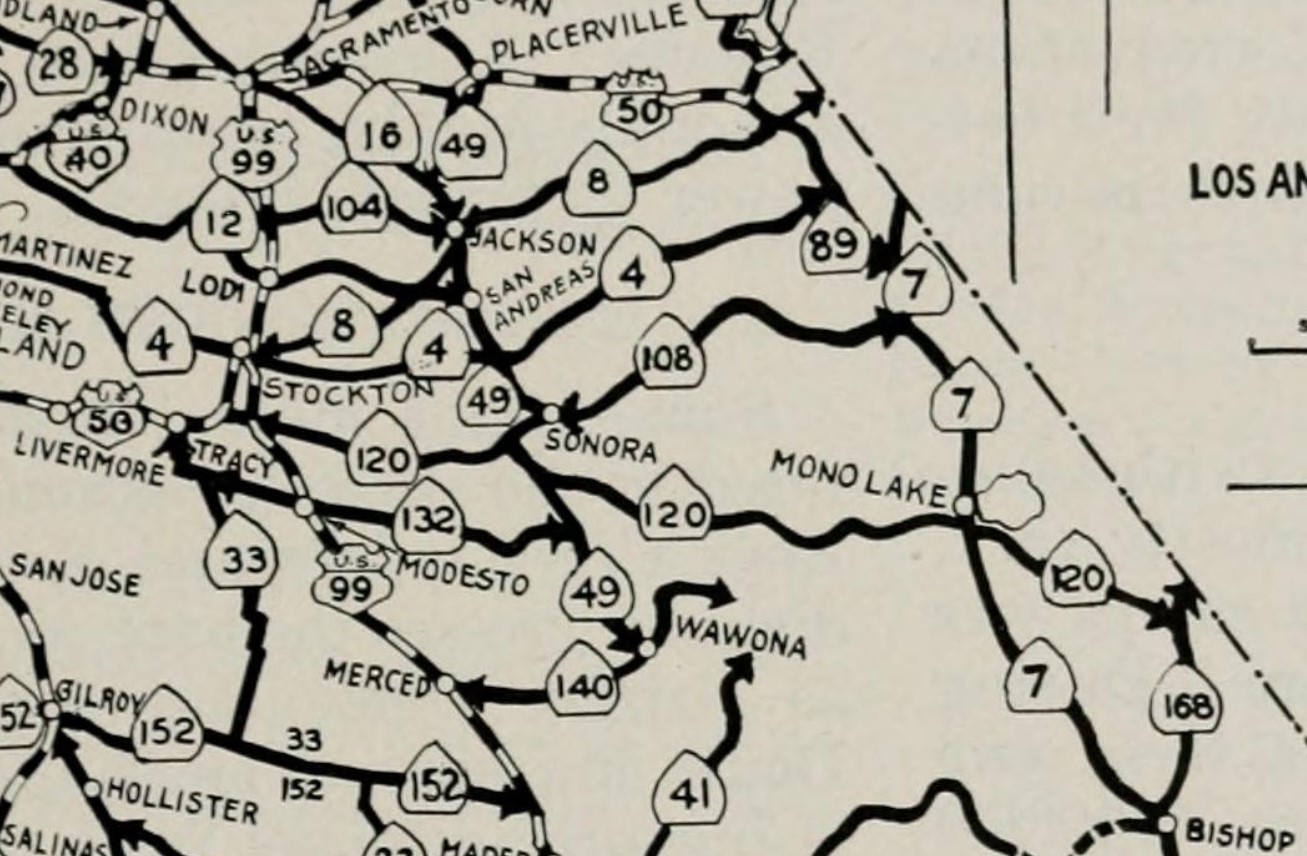
LRN 65 was extended south of Sonora to Mariposa by way of Chinese Camp and Jacksonville. LRN 65 functionally connected the traditional communities of the California Gold Rush via the so called "Mother Lode Highway."
The initial Sign State Routes were announced in the
August 1934 California Highways & Public Works. Jacksonville became host to a multiplex of California State Route 49 and California State Route 120 along the Tuolumne River. California State Route 49 was announced as being aligned from California State Route 140 in Mariposa to California State Route 24 at Reno Junction. California State Route 120 was announced as being aligned from US Route 99 in Manteca to California State Route 168 near Benton. California State Route 120 east of Jacksonville followed New Priest Grade Road, Big Oak Flat Road and Tioga Pass Road through Yosemite National Park over the Sierra Nevada Mountains.


California State Route 49 and California State Route 120 can be seen beginning a multiplex at the bottom of the Priest Grades through Jacksonville towards Yosemite Junction on the
1935 Gousha Highway Map of California.

The
November/December 1962 California Highways & Public Works announced a public hearing was held May 18, 1962, in Sonora to discuss the relocation of California State Route 120/LRN 40 from Yosemite Junction to Groveland due to the proposed expansion of the Don Pedro Reservoir. The proposed realignment of California State Route 120 also would include portions of California State Route 49 through the Chinese Camp and Jacksonville area.
California State Route 49/California State Route 120 near Jacksonville appears on the cover of the
July/August 1963 California Highways & Public Works. California State Route 49/California State Route 120 are cited to have been straightened during 1957. A portion of the older alignment can be seen on the left side of the cover photo.
The
July/August 1963 California Highways & Public Works announced that an adopted realignment corridor of California State Route 120 and California State Route 49 between Yosemite Junction-Moccasin had been selected in anticipation of the Don Pedro Reservoir being expanded. At article regarding California State Route 49 in the same volume features a photo of the highway near Jacksonville.
Construction on the expansion of Don Pedro Dam began in August 1967 and was formally dedicated upon completion during May 1971. California State Route 120 and California State Route 49 were realigned in the Chinese Camp-Moccasin corridor to a new two-lane expressway. The town site of Jacksonville was submerged under the waters of Don Pedro Lake.
The realignment of California State Route 49 and California State Route 120 shifted both highways to the south bank of the Tuolumne River and Don Pedro Lake. The original location California State Route 49 and California State Route 120 can be seen in red below. The Jacksonville town site was located on the left side of the sketch.
Part 2; visiting the site of Jacksonville along modern California State Route 49 and California State Route 120
Modern California State Route 49/California State Route 120 crosses over the Don Pedro Reservoir via the James E. Roberts Memorial Bridge.
Immediately north of the James E. Roberts Memorial Bridge there is an overlook of Don Pedro Lake which faces the former site of the community of Jacksonville. The New Don Pedro Dam expanded the Don Pedro Reservoir by replacing the 1924 concrete Don Pedro Dam.


Comments