The original California State Route 243 was a designation of the San Gabriel River Freeway north of Interstate 10 to Interstate 210. The original California State Route 243 was designated during the 1964 State Highway Renumbering over what had been a 1959 extension of Legislative Route Number 170. The original California State Route 243 was re-designed as part of Interstate 605 when the chargeable Interstate corridors in Southern California were amended during 1968. The San Gabriel River Freeway between Interstate 10 and Interstate 210 would open to traffic during 1971.

What would become the original California State Route 243 is tied to the history of the San Gabriel River Freeway which was originally part of Legislative Route Number 170 (LRN 170). Early LRN 170 would be defined during 1933 and would become part of the original California State Route 35 during August 1934. The original definition of LRN 170 was as follows:
"LRN 179 near Seal Springs via Santa Fe Springs to LRN 26 near West Covina."
The November/December 1956 California Highways & Public Works noted the entire 23-mile corridor of the San Gabriel River Freeway/LRN 170 was adopted by the California Highway Commission on December 15, 1954.


The corridor of LRN 170 was approved to become a chargeable Interstate on September 15, 1955. On June 29, 1956, the Federal Highway Aid Act of 1956 was signed into law on the Federal Level. The Federal Highway Aid Act of 1956 was the genesis point of the Interstate Highway System. The original corridor of LRN 170 between LRN 179 and LRN 26 would be eventually assigned the designation of Interstate 605.
1957 Legislative Chapter 36 extended the definition of LRN 170 south to US Route 101A/LRN 60 near Seal Beach. 1959 Legislative Chapter 1062 extended the definition of LRN 170 to US Route 66/LRN 9 in Duarte. The entirety of LRN 170 was added to the Freeway & Expressway System upon it being created during 1959. Neither extension of LRN 170 and the San Gabriel River Freeway was initially designed as chargeable Interstate 605.
During the 1964 State Highway Renumbering the original California State Route 35 was decommissioned and repurposed over what was California State Route 5 in the Santa Cruz Mountains. The entirety of LRN 170 and the San Gabriel River Freeway was broken up into three designations. Chargeable Interstate 605 was defined as being aligned from "Route 405 to Route 10 near the San Gabriel River." The planned San Gabriel River Freeway south of Interstate 405 to California State Route 1 was reassigned as California State Route 240. The planned San Gabriel River Freeway north of Interstate 10 to Interstate 210 and the Foothill Freeway was assigned as California State Route 243. Interstate 605, California State Route 240 and California State Route 243 all appear on the 1964 Division of Highways Map. The previous surface route of the original California State Route 35 is shown be temporarily designated as LRN 605.


1967 Senate Bill 99, Chapter 1101 codified the name of Interstate 605 between Interstate 405 and Interstate 10 as the San Gabriel River Freeway.
1968 Legislative Chapter 282 reclassified the California State Route 240 and California State Route 243 portions of the planned San Gabriel River Freeway as Route 605. During December 1968 the Federal Highway Administration added the San Gabriel River Freeway north of Interstate 10 as chargeable Interstate. The addition of Interstate 605 as being chargeable north of Interstate 10 was made due to the provisions of the 1968 Federal Highway Aid Act.
The two unbuilt segments of the San Gabriel River Freeway appear as Route 605 as on the 1969 Division of Highways Map.

Interstate 605 north from Interstate 10 to Interstate 210 opened to traffic during 1971 which can be seen on the 1975 Caltrans Map.

Despite Interstate 605 being completed to Interstate 10 the 1967 legislation describing the portion officially named the San Gabriel River Freeway has never been amended to include the segment once part of California State Route 243.
Part 2; a drive on the California State Route 243 segment of Interstate 605 and the San Gabriel River Freeway
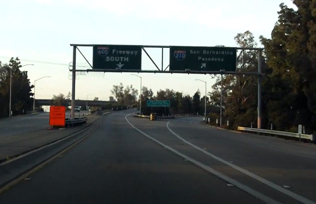
During 2020 Dan Murphy of the Roadwaywiz YouTube channel featured real-time drives on Interstate 605. Below Interstate 605 can be viewed southbound originating from former US Route 66 at Huntington Drive. The segment of Interstate 605 and the San Gabriel River Freeway south to Interstate 10 (0:00-4:25) is comprised of the planned scale of the original California State Route 243. The infamous "Thru Traffic" control city on Interstate 605 can be found on the southbound San Gabriel River Freeway approaching Interstate 10.
Comments