
Valley of Fire State Park and the legacy of the Arrowhead Trail


Valley of Fire State Park is located approximately 50 miles north of Las Vegas, Nevada within the Mojave Desert of Clark County.  Valley of Fire State Park is Nevada's first State Park and features unique red sandstone rock formations.  Valley of Fire State Park has two scenic roadways in the form of Valley of Fire Road and White Domes Scenic Byway which highlight the natural features of the area.  Valley of Fire Road in particular partially follows a generalized path set by the early Auto Trail known as the "Arrowhead Trail" which was a precursor to US Route 91 and Interstate 15.  


Part 1; the history of Valley of Fire State Park and the Arrowhead Trail 

According to the Valley of Fire State Park website evidence of human occupation inside the present park boundaries dates back to the Basketmaker Culture 2,500 years ago.  When the nearby ghost town of St. Thomas was settled by the Mormons in 1865 they documented Paiutes living in area.  

What is now Valley of Fire State Park lies in a gap in the terrain connecting Moapa Valley southwest towards Las Vegas Valley.  This gap made the vicinity of Valley of Fire State Park a natural corridor of travel through the Mojave Desert.  Although the area around Valley of Fire State Park was part of the Old Spanish Trail it wasn't until the formation of the Mormon Road that it became a regular corridor of travel by European settlers.  

The Mormon Road was scouted by a party led by Jefferson Hunt which were looking for a supply route from Salt Lake City to Southern California through 1847-1848.  The Mormon Road south from Utah passed through New Mexico Territory into California where descended through Cajon Pass via Coyote Canyon (modern Crowder Canyon) and Cajon Canyon into San Bernardino Valley.  The Mormon Road was later reorganized and improved into the Los Angeles-Salt Lake Trail by 1855 which can be seen passing through New Mexico Territory on the 1857 Britton & Rey's Map of California.  

Nevada became a State during October of 1864 but did not include much of what was is now Clark County.  Much of modern Clark County became part of Pah-Ute County of Arizona Territory in 1865.  Much of Pah-Ute County of Arizona Territory was transferred to the State of Nevada in January of 1867 which included what is now Valley of Fire State Park.  The Los Angeles-Salt Lake Trail can seen passing through Lincoln County, Nevada and the vicinity of modern Valley of Fire State Park on the 1873 Bancroft's Map of California, Nevada, Utah and Arizona.  Clark County wouldn't be spun off from Lincoln County until 1909.  

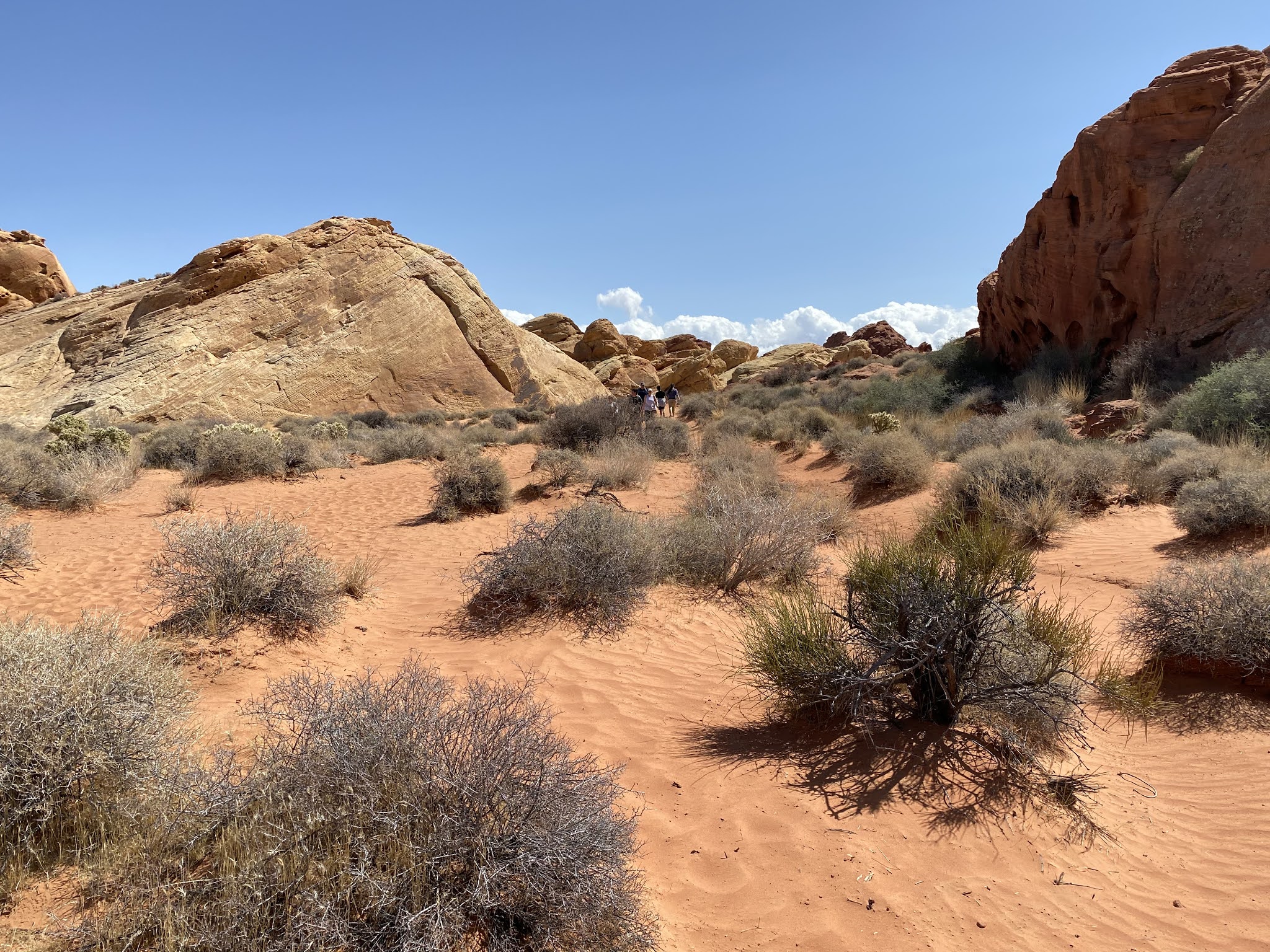
According to the Valley of Fire State Park website a primitive automotive road was constructed immediately south of sandstone formations in 1912 towards Las Vegas Valley.  This early automotive road was incorporated into the Arrowhead Trail when the Arrowhead Trails Association was incorporated during December of 1916.  The 1917 Arrowhead Trail Map shows the namesake Auto Trail heading southwest from St. Thomas via what is now Valley of Fire State Park towards Las Vegas via Griffith Summit of the Muddy Mountains.

The 1919 Nevada Department of Highways Map shows the Arrowhead Trail heading southwest from St. Thomas towards Las Vegas through what is now Valley of Fire State Park as a primary highway.  The Arrowhead Trail was designated as Nevada State Route 6 ("NV 6") from the Arizona State Line southwest to Las Vegas by the Nevada Legislature in 1919.  Note; the Arrowhead Trail originally followed NV 5 south from Las Vegas towards Searchlight and the California State Line.  

A driver can be seen heading north on the Arrowhead Trail in the 1920s with what is now Valley of Fire of State Park in the background.  Valley of Fire obtained it's named during the 1920s when a writer from AAA coined it.

The 1924 Rand McNally Map of California and Nevada shows the Arrowhead Trail in addition to Evergreen National Highway traveling through Valley of Fire.  The Arrowhead Trail and Evergreen National Highway can be seen climbing the 3,500 foot Griffith Summit southwest of Valley of Fire.  


The 1925 Rand McNally Junior Map of California shows NV 6 and the Arrowhead Trail realigned via a new graded road from Mesquite-Las Vegas via Apex Summit.  This new realignment of NV 6 and the Arrowhead Trail had been completed in 1924 over Apex Summit.   The previous route of NV 6/Arrowhead Trail through; St. Thomas, Valley of Fire and Griffith Summit is shown as a rural ungraded road.  The 1925 Rand McNally Junior Map shows proposed US Route 91 ("US 91") following NV 6, NV 5 and the Arrowhead Trail through Nevada.  The US Route System wouldn't be finalized until November 11th, 1926 when it was approved by the Secretary of Agriculture.  

8,760 acres of Federal Land in Valley of Fire was purchased from by the State of Nevada in 1931 with the intention of creating a State Park.  The Civilian Conservation Corps began construction of numerous facilities and infrastructure which would facilitate a State Park at Valley of Fire.  The former Arrowhead Trail over Griffith Summit can be seen connecting US 91/NV 6 in Las Vegas northeast to Valley of Fire towards NV 12 and St. Thomas on the 1931 Clason's Road Map of Nevada.  This road over Griffith Summit is shown as Valley of Fire Highway.  

A Clark County Road approximating modern Valley of Fire Road first appears between the rail siding of Crystal on US 91/NV 6 east through Valley of Fire to NV 12 near St. Thomas on the 1933 Official Road Map of Nevada.   

The construction of Valley of Fire Road in 1930 as seen on the Valley of Fire State Park website.  


Valley of Fire State Park formally opened on Easter Sunday 1934 as Nevada's first State Park.  Valley of Fire State Park wouldn't be formally recognized by the Nevada State Legislature until March of 1935.  Valley of Fire Road was also designated by State Legislature as NV 40 during 1935 which can be seen on the 1935 Official Road Map of Nevada.   

The 1937 Gousha Road Map of Nevada shows NV 40 in clear detail along with where the Arrowhead Trail originally diverted southwest towards Las Vegas at Piute Point.   


In the ensuing decades Valley of Fire State Park would expand to over 40,000 acres.  NV 40/Valley of Fire Road first appears with a paved surface on the 1963-64 Official Road Map of Nevada.  

During the 1976 Nevada State Highway Renumbering NV 40/Valley of Fire Road were designated as part of NV 169.  Valley of Fire appears signed as NV 40 but legislatively designated NV 169 on the 1978-79 Official Road Map of Nevada.  

NV 169 is shown truncated to the boundary of Lake Mead National Recreation Area on the 1982 Official Road Map of Nevada which left Valley of Fire Road without a State Highway designation.  

During June of 1995 the 10.5 miles of Valley of Fire Road within the boundary of Valley of Fire State Park were designated as a Nevada Scenic Byway.  This segment of Valley of Fire Road is seen with the Nevada Scenic Byway designation on the 2017-18 Official Road Map of Nevada.


Part 2; visiting Valley of Fire State Park, Valley of Fire Road and White Domes Road

Valley of Fire Road westbound begins from NV 169/North Shore Road at the Boundary of the Lake Mead National Recreation Area near Old St. Thomas Road/former NV 12.  Valley of Fire State Park is signed as 1 mile away whereas as Interstate 15 is signed 26 miles to the west.   


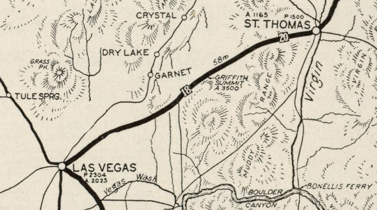
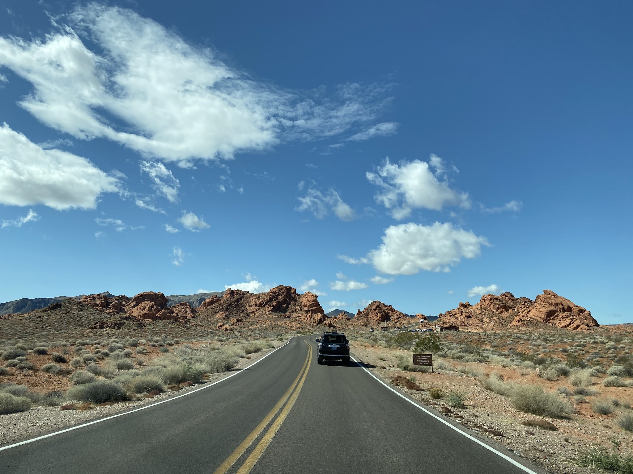
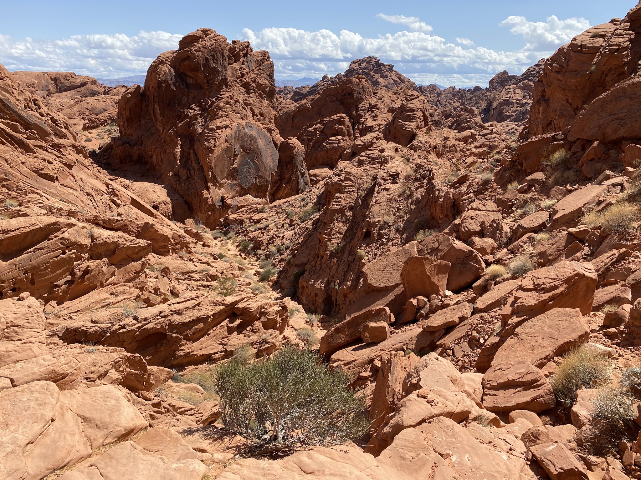
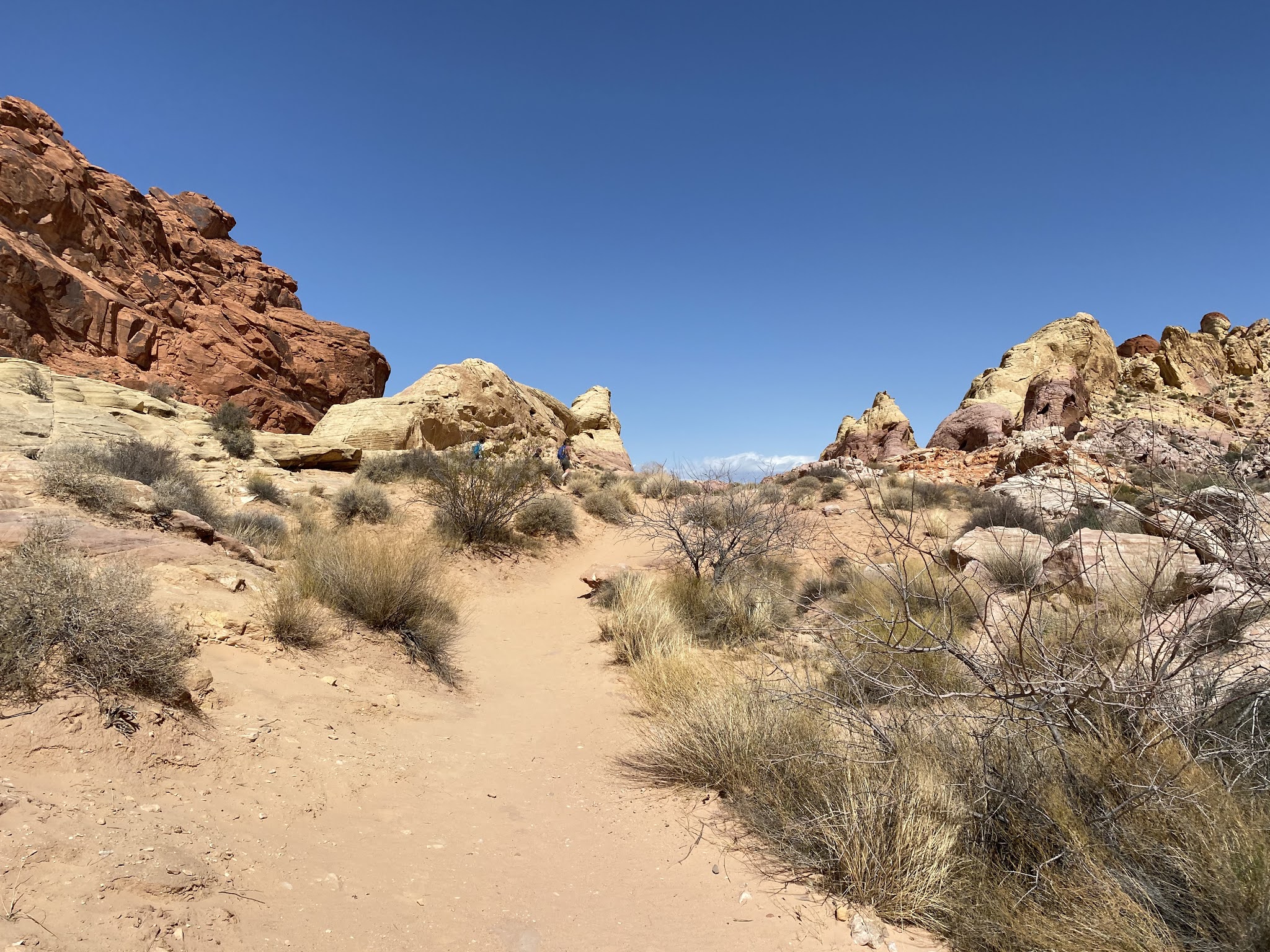
As Valley of Fire Road continues westward it enters Valley of Fire State Park.  The boundary of Valley of Fire State Park is obvious due to the asphalt quality changing and a "Begin Scenic Byway" sign assembly being present.  


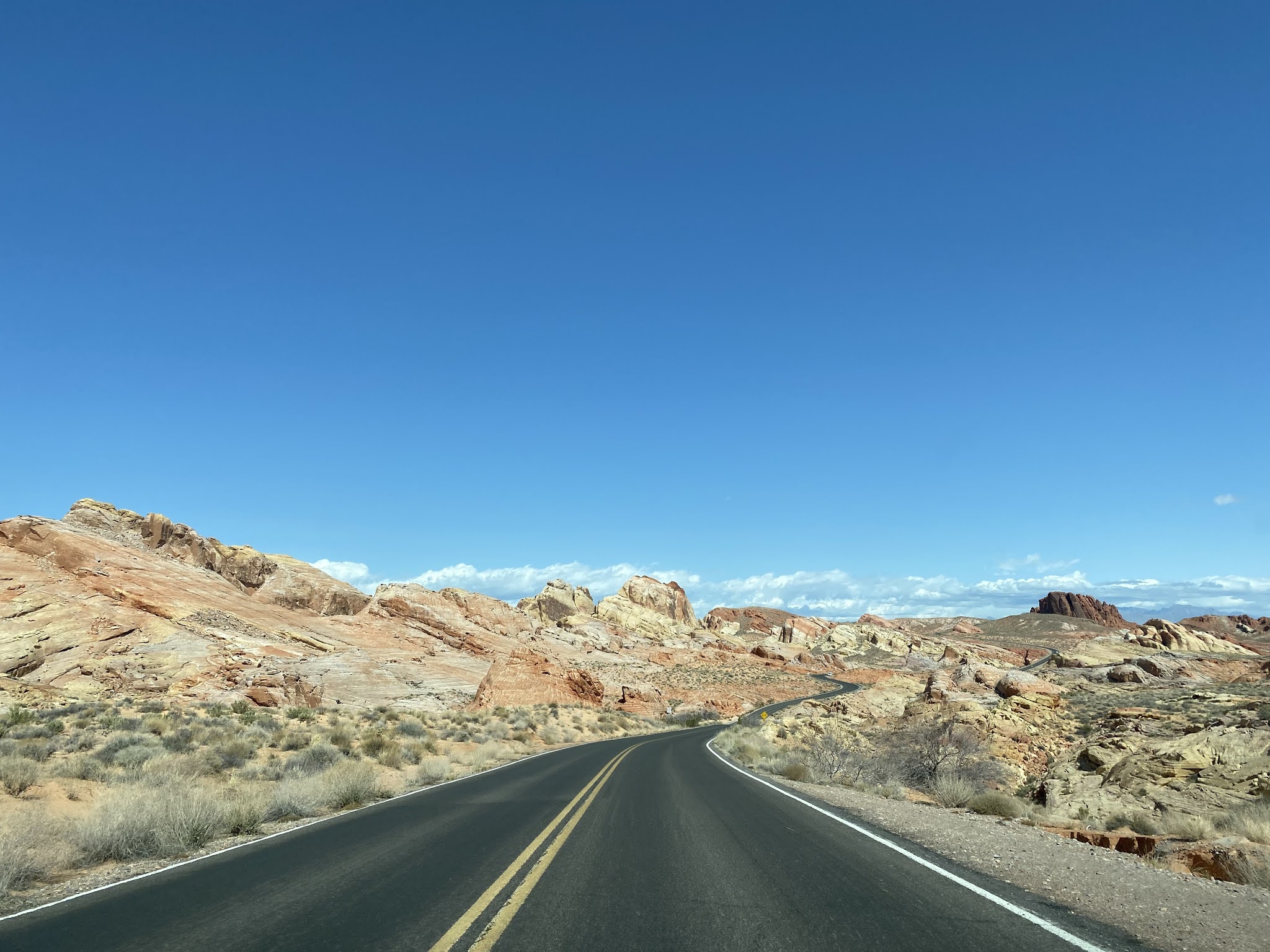
As Valley of Fire Road enters Valley of Fire State Park it initially follows the path of the Arrowhead Trail westward to the east entrance station.  


At the east entrance station Valley of Fire Road diverges from the former alignment of the Arrowhead Trail.  The former Arrowhead Trail has been incorporated into the Old Arrowhead Road Trail which can be seen on as a major trail on the Valley of Fire State Park brochure.  


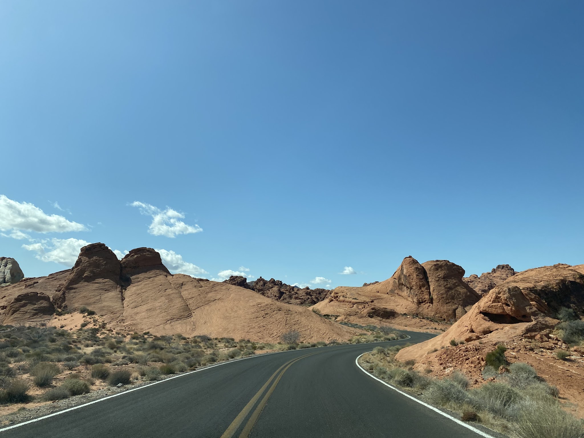
A historic marker pertaining to the Arrowhead Trail can be found on Valley of Fire Road west of the east entrance station.  The historic marker can be found where Valley of Fire Road passes over the Old Arrowhead Road Trail.


The Arrowhead Trail Historic Marker courtesy of hmdb.org.  


The Arrowhead Trail Historic Marker reads as follows:

"Las Vegans claimed to be the originators of this all-weather route between Los Angels and Salt Lake City. From the beginning, the Arrowhead Trail was a "grass roots" effort including promotion by various chambers of commerce and volunteer construction by local citizens. However, it was Charles H. Bigelow, from Los Angeles, who gave it great publicity. During 1915 & 1916 he drove the entire route many times in his twin-six Packard "Cactus Kate."

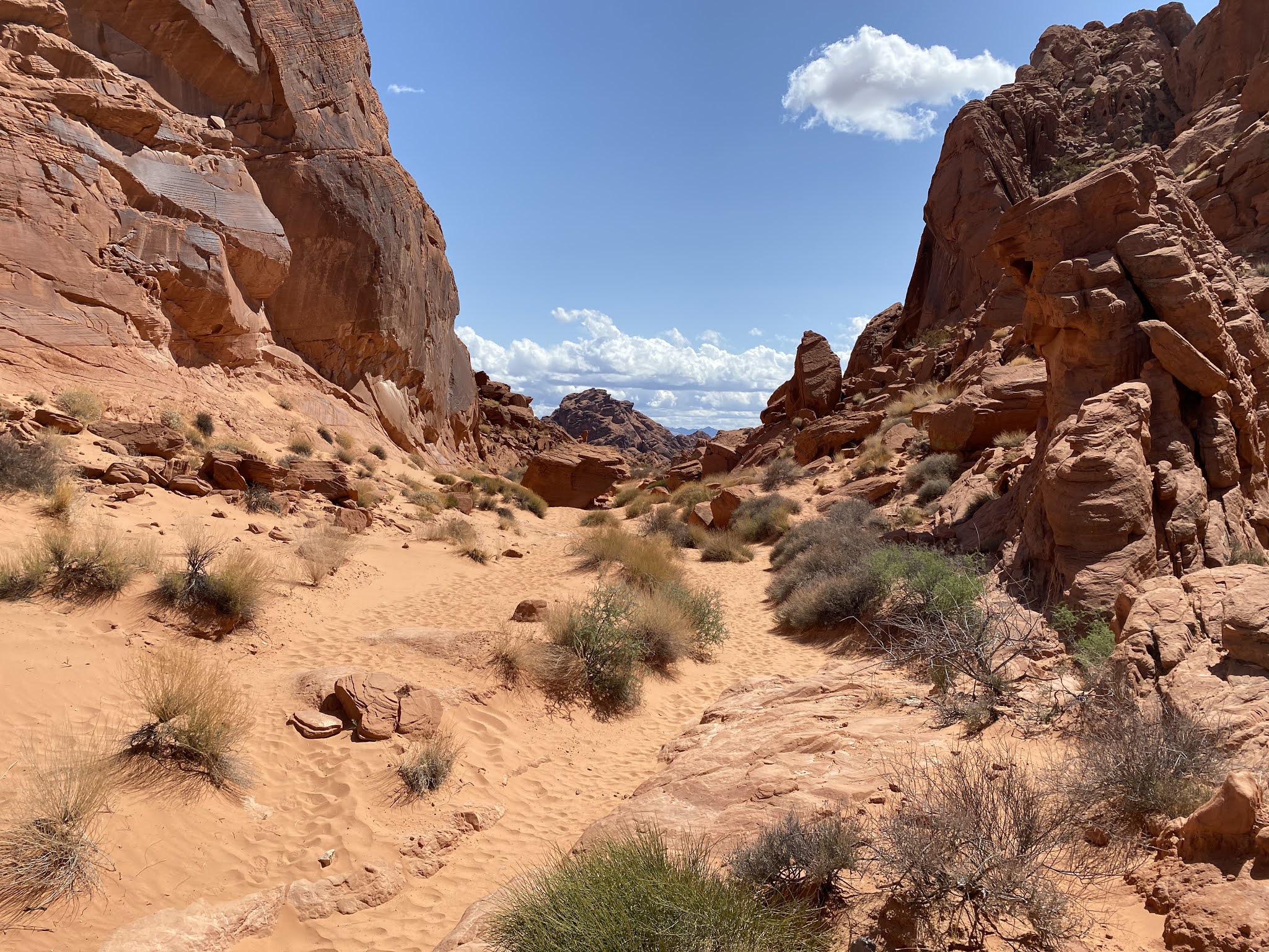
West of the Arrowhead Trail Historic Marker the path of Valley of Fire Road continues through the Seven Sisters formation.  


West of the Seven Sisters the route of Valley of Fire Road passes by the State Park Visitor Center and turn off for White Domes Scenic Byway. 


The Valley of Fire Visitor Center is where the First State Park Historic Marker and Valley of Fire National Natural Landmark Marker can be found. 


From the Valley of Fire Road and Visitor Center the route of White Domes Scenic Byway (confusingly also known as White Domes Road or Mouses Tank Road) continues 6 miles northward to the White Domes Trail.  White Domes Scenic Byway was designated as a Nevada Scenic Byway in 1995 along with Valley of Fire Road.  


White Domes Scenic Byway begins with a northward climb to the Mouses Tank Trailhead.  


From the Mouses Tank Trail the route of White Domes Scenic Byway continues north to the Rainbow Vista Trailhead.  


The Rainbow Vista Trail is a sandy 1 mile trail eastward to the Fire Canyon Overlook.  


North of the Rainbow Vista Trail the route of White Domes Scenic Byway intersects Fire Canyon Road and continues 4 miles to the White Domes Trailhead.  


Notably White Domes Scenic Byway is signed with Postmile paddles which indicates that it is State Park Road 55.   


The White Domes Trail features numerous multi-colored domed sandstone formations which are the signature of Valley of Fire State Park.  The White Domes Trail is a 1 mile loop with a southward descent into a wash.  


The ruins of a set from the 1965 movie "The Professionals" can be found on the White Domes Trail.  This set was also used for a scene in Star Trek Generations (one of the worst Star Trek movies if I'm being opinionated) in which Captain Kirk dies after being brought out of The Nexus.   


The White Domes Trail jogs west through a narrow canyon and intersects the Prospect Trail. 


The White Domes Trail continues northward back to the trailhead.  


Returning to Valley of Fire Road west of White Domes Scenic Byway it intersects a turn-off road for Atlatl Rock and Arch Rock.  


Valley of Fire Road continues west past the Beehives formations and picks up the alignment of the Arrowhead Trail.  


Valley of Fire Road westbound departs Valley of Fire State Park at the west entrance station and is signed as 41 miles from Las Vegas.   


Valley of Fire Road westbound ascends through a gap in the Muddy Mountains following the established path of the early Arrowhead Trail.  A sign denoting "End Scenic Route" can be found at Mile Marker 12.   


Valley of Fire Road climbs out of the Muddy Mountains and emerges onto a valley at Piute Point.  From Piute Point (the last photo below) a dirt road can be found jogging southwest which is the original alignment of the Arrowhead Trail towards Griffith Summit.  The original Arrowhead Trail continues southwest to Nellis Airforce Base whereas Valley of Fire Road continues west/northwest to Interstate 15 in Crystal.  


Valley of Fire Road continues west/northwest to Crystal and terminates at Interstate 15.  


Comments

Popular posts from this blog

2018 Mojave Road Trip Part 2; The deadly desert highway (California State Route 127 and Nevada State Route 373)

After leaving Barstow via Old Highway 58 my next destination was in Death Valley.  To access Death Valley from rural San Bernardino County required a trek on north on Interstate 15 to California State Route 127 which becomes Nevada State Route 373 at the state line. Along I-15 I encountered the road sign oddity that is Zzyzx Road about eight miles south of Baker.   Zzyzx Road is a four mile road that used to go to the Zzyzx Mineral Springs and Health Spa.   The spa was founded in the 1940s and the owner made up the name "Zzyzx" to claim it was the last word in the English Language.  The spa has been shut down since the 1970s and is now part of a Desert Studies Center for California State University. The southern terminus of CA 127 in Baker is located at I-15 exit 246.  CA 127 is a 91 mile north/south highway which runs to the Nevada State Line in Inyo County.  CA 127 is called Death Valley Road from I-15 northward.  South of CA 127 ...

Finding the Pre-Emption Road of New York State

  The Pre-Emption Road (or rather a series of roads named Pre-Emption Road) follows a survey line called the Pre-Emption Line, drawn in the early days of the United States. The story begins with Massachusetts and New York having competing land claims to modern day Western New York State that have their roots in colonial charters granted by the British. After the Revolutionary War ended, this land became the frontier of the nation and its settlement became a priority for the new American government. During this era, there were a lot of competing land claims that needed to be settled. It was no different with the land claims between New York State and Massachusetts. On November 30, 1786, Massachusetts and New York sent representatives to Hartford, Connecticut to resolve their competing land claims. In less than three weeks, the representatives had reached a compromise. Massachusetts would receive pre-emption rights, meaning the right to sell the land after the Indian title ...

What's In a Name?: When the Roads Really Do Tell a Story

  Our tagline on the Gribblenation blog is "because every road tells a story". Some roads tell different stories than others. Along our travels, we may see historic markers that tell us a little story about the roads we travel or the places we pass by. Some historic markers are more general, as to telling us who lived where or what old trail traversed between two towns. During my travels across New York State and other states or provinces, I pass by many historic markers, some with interesting or amusing references to roads. I wanted to highlight a few of the markers I've seen along my travels around the Empire State and help tell their stories. Those stories may be as specific as explaining the tales of a tree that was used to help measure a distance of eight miles from Bath to Avoca in Steuben County, as referenced on the Eight Mile Tree historical marker above. They may also help point the way along historical roads first used centuries ago, or may help tell a local l...