Recently I was looking for a scenic highway to take an afternoon drive near Fresno. I found what I was looking for in Elwood Road.

Elwood Road is a 11.8 mile roadway connecting from CA 180 in Squaw Valley northwest through Wonder Valley to the Piedra ghost town site near the Kings River. Elwood Road is a highly scenic corridor which climbs through the Sierra Nevada Foothills around the eastern side of Bear Mountain. Elwood Road follows Mill Creek from Tretten Canyon and has some pretty views of the Kings River near Pine Flat Dam.

Elwood Road doesn't appear to be a very old. The oldest map that I could find displaying Elwood Road was the 1935 California Division of Highways Map of Fresno County.

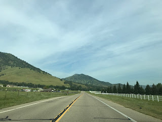
My approach to Elwood Road was from CA 180 westbound in Squaw Valley. Squaw Valley is located at approximately 1,631 feet above sea level in the Sierra Nevada Foothills. Traffic headed towards Pine Flat Dam is directed to use Elwood Road.


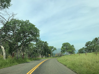
From CA 180 in Squaw Valley the route of Elwood Road initially turns north around Bear Mountain. The advisory signs for horses and cows are somewhat amusing to look at.


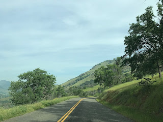
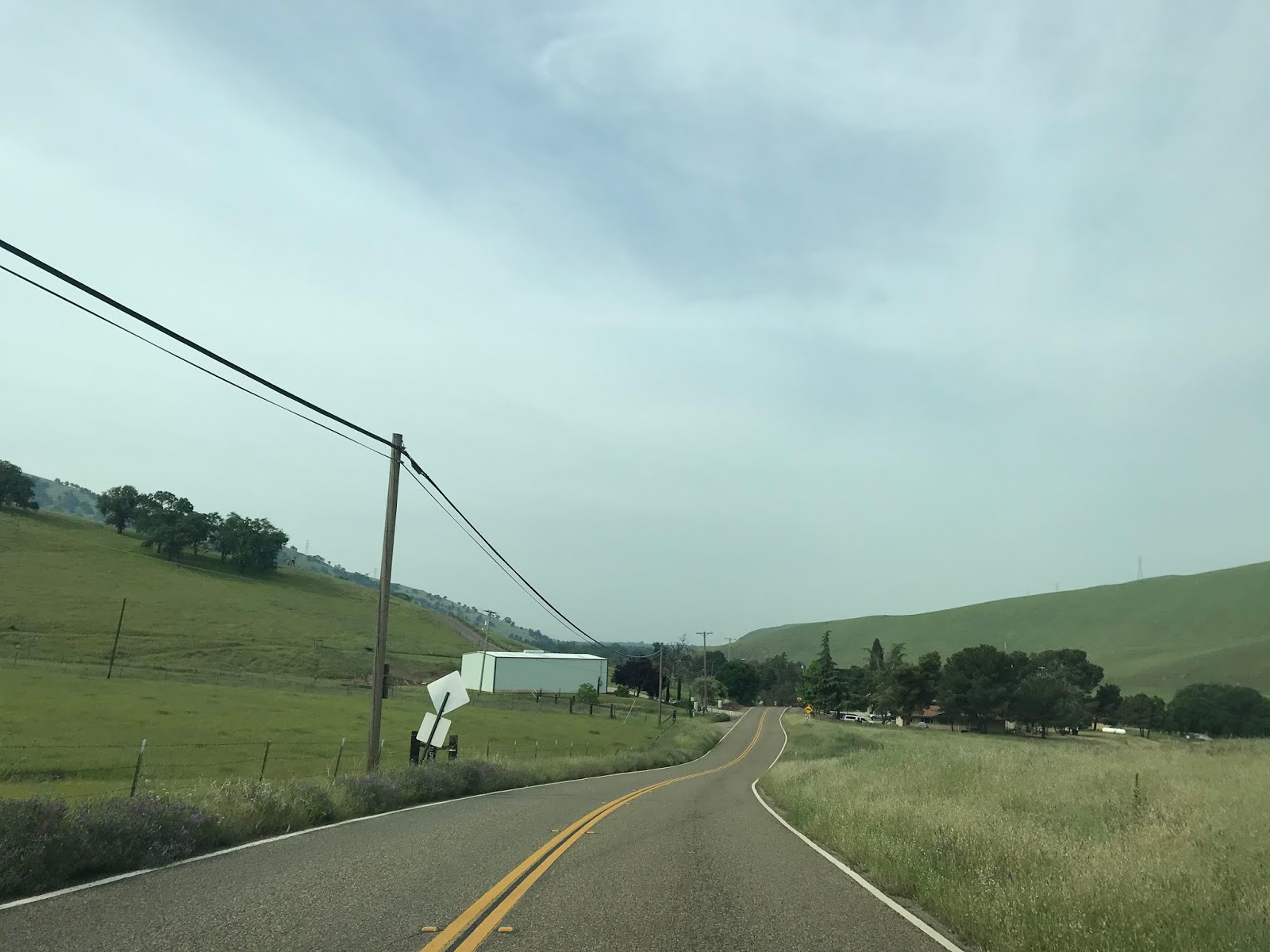
Elwood Road swings northwest towards Wonder Valley north of Bear Mountain. Traffic on Elwood Road is advised of the road width narrowing approaching an unnamed pass.


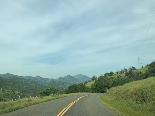
Elwood Road snakes northwest through 3.5 miles of curves and emerges into Wonder Valley via Tretten Canyon alongside Mill Creek.


From Wonder Valley the route of Elwood Road swings west as Mill Creek empties into the Kings River.


Looking east from the confluence of the Kings River and Millwood Creek reveals Pine Flat Dam. Pine Flat Dam is a 440 foot tall concrete gravity dam which was constructed from 1947 through 1954. Pine Flat Dam is owned by the Army Corps of Engineers and has a primary purpose of controlling what had been a historically flood prone Kings River.


From Millwood Creek the route of Elwood Road follows the Kings River west to a terminus at Piedra Road at the Piedra ghost town site. Just before reaching Piedra Road the route of Elwood Road climbs atop what was the Piedra quarry site.


Piedra was the site of a rock quarry and was the terminus of the Wahtoke District Railroad. The Wahtoke District Railroad was a line between Reedley to the quarry site in Piedra which was constructed by the Atchison, Topeka, and Santa Fe Railroad during 1911. Piedra had Post Office Service from 1920 through 1943. The Wahtoke District Railroad was abandoned by the ATSF during 1965 between Minkler and Piedra. The site of Piedra today largely is abandoned with some evidence of a rail grade north of the intersection of Elwood Road and Piedra Road. Piedra lies at an elevation of 538 feet above sea level.

Elwood Road is a 11.8 mile roadway connecting from CA 180 in Squaw Valley northwest through Wonder Valley to the Piedra ghost town site near the Kings River. Elwood Road is a highly scenic corridor which climbs through the Sierra Nevada Foothills around the eastern side of Bear Mountain. Elwood Road follows Mill Creek from Tretten Canyon and has some pretty views of the Kings River near Pine Flat Dam.

Elwood Road doesn't appear to be a very old. The oldest map that I could find displaying Elwood Road was the 1935 California Division of Highways Map of Fresno County.

My approach to Elwood Road was from CA 180 westbound in Squaw Valley. Squaw Valley is located at approximately 1,631 feet above sea level in the Sierra Nevada Foothills. Traffic headed towards Pine Flat Dam is directed to use Elwood Road.


From CA 180 in Squaw Valley the route of Elwood Road initially turns north around Bear Mountain. The advisory signs for horses and cows are somewhat amusing to look at.


Elwood Road swings northwest towards Wonder Valley north of Bear Mountain. Traffic on Elwood Road is advised of the road width narrowing approaching an unnamed pass.


Elwood Road snakes northwest through 3.5 miles of curves and emerges into Wonder Valley via Tretten Canyon alongside Mill Creek.


From Wonder Valley the route of Elwood Road swings west as Mill Creek empties into the Kings River.


Looking east from the confluence of the Kings River and Millwood Creek reveals Pine Flat Dam. Pine Flat Dam is a 440 foot tall concrete gravity dam which was constructed from 1947 through 1954. Pine Flat Dam is owned by the Army Corps of Engineers and has a primary purpose of controlling what had been a historically flood prone Kings River.


From Millwood Creek the route of Elwood Road follows the Kings River west to a terminus at Piedra Road at the Piedra ghost town site. Just before reaching Piedra Road the route of Elwood Road climbs atop what was the Piedra quarry site.


Piedra was the site of a rock quarry and was the terminus of the Wahtoke District Railroad. The Wahtoke District Railroad was a line between Reedley to the quarry site in Piedra which was constructed by the Atchison, Topeka, and Santa Fe Railroad during 1911. Piedra had Post Office Service from 1920 through 1943. The Wahtoke District Railroad was abandoned by the ATSF during 1965 between Minkler and Piedra. The site of Piedra today largely is abandoned with some evidence of a rail grade north of the intersection of Elwood Road and Piedra Road. Piedra lies at an elevation of 538 feet above sea level.
Comments