This past weekend I took a detour off of California State Route 49 in Tuolumne County onto Signed County Route E18 north to CA 4 in Calaveras County.

CR E18 is a 12.8 mile Signed County Route that was defined in 1974 according to CAhighways.org.
CAhighways.org on Signed County Route E18
CR E18 is signed completely on Parrotts Ferry Road. While CR E18 wasn't added to the Signed County Route program until the 1970s Parrotts Ferry Road was noted as a significant County Maintained Roadway in Calaveras County and Tuolumne County on the 1935 California Division of Highways Maps.
1935 Calaveras County Highway Map
1935 Tuolumne County Highway Map
I approached CR E18 from CA 49 northbound. Along CA 49 northbound there are several signs directing traffic to Columbia State Historic Park.


CR E18 northbound is well signed as has numerous reassurance shields.

CR E18 quickly junctions Columbia State Historic Park only a couple miles north of CA 49.

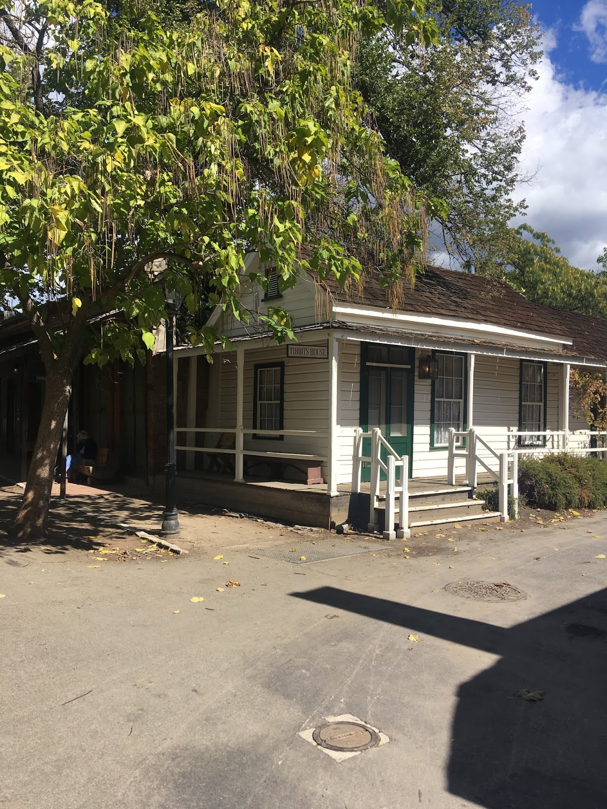
Columbia State Historic Park preserves the historic downtown section of Columbia. Columbia dates back to 1850 and was once incorporated. The population of Columbia at the height of the Gold Rush apparently ranged from 2,000-5,000 people depending on the productivity of mining in the area. Main Street was declared a State Historic Park in 1946 and presently over 30 structures preserved from the height of the Gold Rush


CR E18 bypasses Main Street in Columbia to the west on Parrotts Ferry Road.


Vallecito is signed as 8 miles to the north of Columbia along CR E18.


New Melones Lake is a reservoir along the Stanislaus River which was originally created when the first Melones Dam was completed in 1926. The modern New Melones Dam was completed in 1980 which raised the level of the reservoir and flooded out the community of Melones.
The ascent along CR E18 from the Stanislaus River/New Melones Lake is fairly steep. The alignment of CR E18 meets the Natural Bridges Trail Head and entrance to Moaning Caverns Park before terminating at CA 4 in Vallecito.


CR E18 is a 12.8 mile Signed County Route that was defined in 1974 according to CAhighways.org.
CAhighways.org on Signed County Route E18
CR E18 is signed completely on Parrotts Ferry Road. While CR E18 wasn't added to the Signed County Route program until the 1970s Parrotts Ferry Road was noted as a significant County Maintained Roadway in Calaveras County and Tuolumne County on the 1935 California Division of Highways Maps.
1935 Calaveras County Highway Map
1935 Tuolumne County Highway Map
I approached CR E18 from CA 49 northbound. Along CA 49 northbound there are several signs directing traffic to Columbia State Historic Park.


CR E18 northbound is well signed as has numerous reassurance shields.

CR E18 quickly junctions Columbia State Historic Park only a couple miles north of CA 49.

Columbia State Historic Park preserves the historic downtown section of Columbia. Columbia dates back to 1850 and was once incorporated. The population of Columbia at the height of the Gold Rush apparently ranged from 2,000-5,000 people depending on the productivity of mining in the area. Main Street was declared a State Historic Park in 1946 and presently over 30 structures preserved from the height of the Gold Rush


CR E18 bypasses Main Street in Columbia to the west on Parrotts Ferry Road.


Vallecito is signed as 8 miles to the north of Columbia along CR E18.


North of Columbia CR E18 begins to descend towards the Stanislaus River and New Melones Lake. The descent on CR E18 is rather steep compared to CA 49 to the west.


CR E18 crosses the Stanislaus River/New Melones Lake on a modern bridge into Calaveras County. Parrotts Ferry used to be located near modern highway bridge. Parrotts Ferry was in operation from 1860 until a bridge replaced it in 1903.


New Melones Lake is a reservoir along the Stanislaus River which was originally created when the first Melones Dam was completed in 1926. The modern New Melones Dam was completed in 1980 which raised the level of the reservoir and flooded out the community of Melones.
The ascent along CR E18 from the Stanislaus River/New Melones Lake is fairly steep. The alignment of CR E18 meets the Natural Bridges Trail Head and entrance to Moaning Caverns Park before terminating at CA 4 in Vallecito.


Comments