California State Route 1 the Shoreline Highway Part 1; the history of the Shoreline Highway and drive through Marin County

The Shoreline segment of California State Route 1 forms a 210 mile loop of US Route 101 from Mill Creek to Leggett. As the name implies the Shoreline Highway segment of California State Route 1 largely follows the coastline and other bodies of water. The Shoreline Highway segment of California State Route 1 traverses; Marin County, Sonoma County and Mendocino County.


This blog is Part 1 of a three part series on of the Shoreline Highway segment of California State Route 1. Part 1 discusses the development of the Shoreline Highway and features a drive through Marin County. The Shoreline Highway refers to a segment of California State Route 1 between Mill Creek and Ferndale which was designated by California Senate Concurrent Resolution 91, Chapter 239 in 1957. It isn't fully clear if the Shoreline Highway name applies to CA 1 between Rockport and Leggett.
Chapter 1; the history of the Shoreline Highway segment of California State Route 1
The Shoreline Highway segment of California State Route 1 ("CA 1") traverses some of the most sparsely inhabited segments of the California Coast Line. Many of the communities along the Shoreline Highway trace their origins to lumber mills and small ports that developed during the 19th Century. While in its current form the Shoreline Highway segment of CA 1 is grand in scale it also was never completed as envisioned through the Lost Coast and King Range.
The history of State Maintenance of the Shoreline Highway begins in 1933 when Legislative Route 56 was extended south to LRN 2 (US 101) near Las Cruces and north to Ferndale to LRN 1 (also US 101). Prior to 1933 the legislative description of LRN 56 had it's north terminus in Carmel and south terminus in San Luis Obispo. The extension of LRN 56 was ambitious and was the first time that the State became involved with the concept of a coastal highway in the Lost Coast region.
In the August 1934 California Highways and Public Works Guide the Sign State Routes were announced. CA 1 was applied to LRN 56 from Las Cruces northward towards Fortuna

Upon close examination of the map displayed in the August 1934 CHPW shows CA 1/LRN 56 as a functionally existing highway from Westport north to Fortuna. CA 1/LRN 56 is shown to be State maintained on both sides of the Lost Coast.


- A gap in State Maintenance of CA 1/LRN 56 are shown from Valley Ford north to Mendocino.

- CA 1/LRN 56 is shown State Maintained from Mendocino north to Fort Bragg. North of Fort Bragg no State Maintenance can be seen northward until Ferndale.

The 1935 Division of Highways Maps of; Marin County, Sonoma County, Mendocino County and Humboldt County show far more substantial detail regarding which segments of CA 1/LRN 56 were then under State Maintenance.
- The Marin County Map shows CA 1/LRN 56 completely under State Maintenance.


- The Sonoma County Map shows CA 1/LRN 56 with a State Maintenance gap from Valley Ford north to Jenner. From Jenner north to the Mendocino County Line near Gualala CA 1/LRN 56 is shown under State Maintenance.


- The Mendocino County Map shows CA 1/LRN 56 under State Maintenance from the Sonoma County Line north to Westport. From Westport north through the Lost Coast to the Humboldt County Line the existing highway is shown under Local Maintenance.


- The Humboldt County Map shows local maintenance through the Lost Coast before State Maintenance of CA 1/LRN 56 resumes at Ferndale north to US 101/LRN 1 in Fernbridge.


The 1935 Goshua Highway Map of California provides a great deal of detail as to the existing through highway in the Lost Coast Region. CA 1/LRN 56 is shown to end at Westport and the road continuing north to Kenny on Usal Road. From Kenny the highway to Thorn Junction appears to have followed Briceland Road to Thorn Junction. From Thorn Junction to Ettersburg the highway follows Ettersburg Road. From Ettersburg to Honey Dew the through highway follows Wilder Ridge Road. From Honey Dew the through route in the Lost Coast follows Mattole Road to Ferndale and the north segment of CA 1/LRN 56. The 1935 Goshua Map doesn't offer any evidence that CA 1 was signed by the California State Automobile Association in the Lost Coast.

Despite not being under State Maintenance CA 1 is shown to be signed between the Sonoma County Line near Valley Ford to Jenner via Freestone on the 1935 Gousha Highway Highway Map of California.

The 1937 Gousha Highway Map of California shows CA 1 signed on a temporary alignment from Westport to US 101/LRN 1 in Leggett (shown as Lanes Flat) via Rockport.

Interestingly the May/June 1952 California Highways & Public Works contains an article describing the US Route System and Sign State Route
numbering conventions. In said article CA 1 is described as ending in
Westport with no further indications for anything north to Ferndale.

The first Division of Highways Map to display a rough planned general alignment of CA 1/LRN 56 in the Lost Coast was the 1953 edition.

The May/June 1954 California Highways & Public Works details the damage caused by an earthquake on April 11th, 1954 which closed CA 1 between Jenner and Fort Ross.


A new planned alignment of CA 1/LRN 56 is shown on the 1955 Division of Highways Map in Sonoma County. This planned alignment shows a direct inland routing between Valley Ford and Jenner.

The May/June 1957 California Highways & Public Works announced CA 1 between Valley Ford and Jenner via Bodega Bay was about to finally become part of LRN 56 on July 1st. CA 1 between Valley Ford and Jenner was upgraded via Federal Aid Secondary County Route 777 (FAS 777). FAS 777 had been under construction since September of 1951 and included a brand new 8.9 mile road directly linking Valley Ford to Bodega Bay.


According to CAhighways.org a spur branch of LRN 56 was added to the
State Highway System in 1951 to connect to Leggett at US 101/LRN 1.
This spur of LRN 56 connecting from Westport to Leggett first appears on
the 1958 Division of Highways Map.
This spur segment of LRN 56 doesn't appear on the Division of Highways Map as CA 1 (but probably was as evidenced above on the 1937 Gousha Map). The spur segment of LRN 56 to Leggett seems to be the first real
indicator that the Division of Highways wasn't interested in building a
highway through the Lost Coast.

A story regarding the new Westport-Leggett Spur of LRN 56 is detailed in the May/June 1958 California Highways & Public Works.
The Westport-Leggett spur of LRN 56 was indeed ultimately signed as
part of CA 1 and was part of Federal Aid Secondary Route 504. Mendocino
County is said to have pushed during the fall of 1955 to have the
planned Westport-Leggett Spur of LRN 56 added Federal Aid Secondary
system. The article goes onto cite that part of the 1951 legislation
that added the Westport-Leggett Spur of LRN 56 was that the State would
not have to maintain the roadway until it was brought up to Division of
Highways standards. Maintenance of the Westport-Leggett Spur of LRN 56
began on July 1, 1957.


During the 1964 State Highway Renumbering the Legislative Route Numbers were dropped. What had been the spur of LRN 56 to Leggett was renumbered to CA 208. CA 1 remained planned through the Lost Coast to Ferndale. These changes can be seen on the 1964 Division of Highways State Map.

Post 1964 it appears that CA 208 and that CA 1 from Ferndale to Fortuna
were never signed. Neither shows on the 1982 Caltrans State Map with
State Highway shields.


During 1984 the unbuilt CA 1 in the Lost Coast and from Ferndale to Fortuna was transferred CA 211 (ii) via Legislative Chapter 489. Legislative Chapter 489 also transferred CA 1 over what had been CA 208. The changes described above first appear on the 1986 Caltrans State Highway Map.


Despite popular notion the planned highway through the Lost Coast has never been cancelled. Further, I have never seen a report stating that a highway through the Lost Coast wasn't possible. It is likely the real answer of why CA 1 was never built through the Lost Coast was that it would have had to happen immediately after CA 1/LRN 56 was completed in Big Sur. Given that the United States ended up being embroiled in World War II a couple years after the completion of the Cabrillo Highway in Big Sur it likely killed any prospect at a Lost Coast Highway. Even the Division of Highways with all it's grandiose visions for freeways and expressways during the late 1950s/early 1960s couldn't find room for a Lost Coast Highway, it wasn't a priority. Given that the environmental red tape post 1970 it would be virtually impossible to build the Lost Coast Highway for political reasons. Nonetheless the planned Lost Coast Highway appears on the 2005 Caltrans State Map as part of unbuilt CA 211.

More on present California State Route 211 to Ferndale can be found on the Gribblenation blog below:
Paper Highways; California State Route 1 through the Lost Coast (modern California State Route 211)
Chapter 2; California State Route 1/Shoreline Highway through Marin County
US 101 southbound Exit 445B upon crossing Richardson Bay in Marin County accesses CA 1 in Mill Creek and the start of the Shoreline Highway.


CA 1 northbound quickly enters Tamalpais Valley where in the most Post-2020 thing ever traffic is advised of Muir Woods National Monument requiring reservations.


CA 1 north traffic is given a 35 foot length advisory and crosses Coyote Creek at Postmile MRN 0.42.


Approaching Almonte Boulevard at Postmile MRN 0.65 CA 1 north makes a left hand turn towards Muir Woods National Monument.


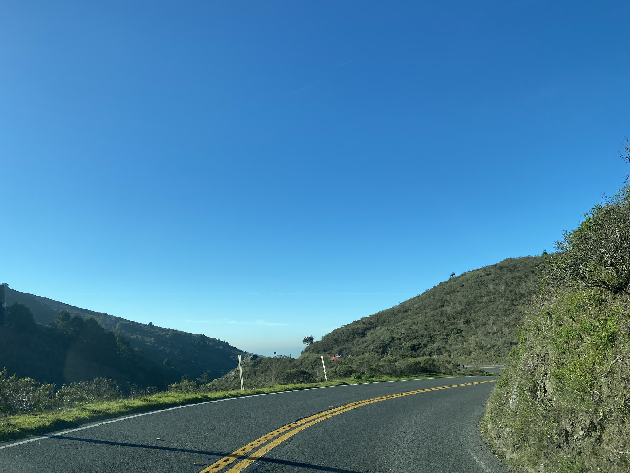
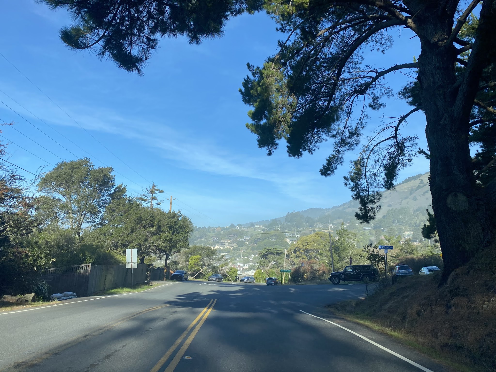
CA 1 northbound begins to climb into the Marin Hills, enters the Golden Gate National Recreation Area and intersects Panoramic Highway at Postmile MRN 3.35. Panoramic Highway climbs over the Marin Hills via Mount Tamalpais and was pressed into a temporary detour route for CA 1 following the heavy rains of 2017.


CA 1 northbound continues westward to Muir Beach and intersects Frank Valley Road at Postmile MRN 5.93. Frank Valley Road is signed as access to Muir Woods National Monument.


CA 1 northbound passes the Muir Beach Overlook at Postmile MRN 6.91 and begins to swing northward.


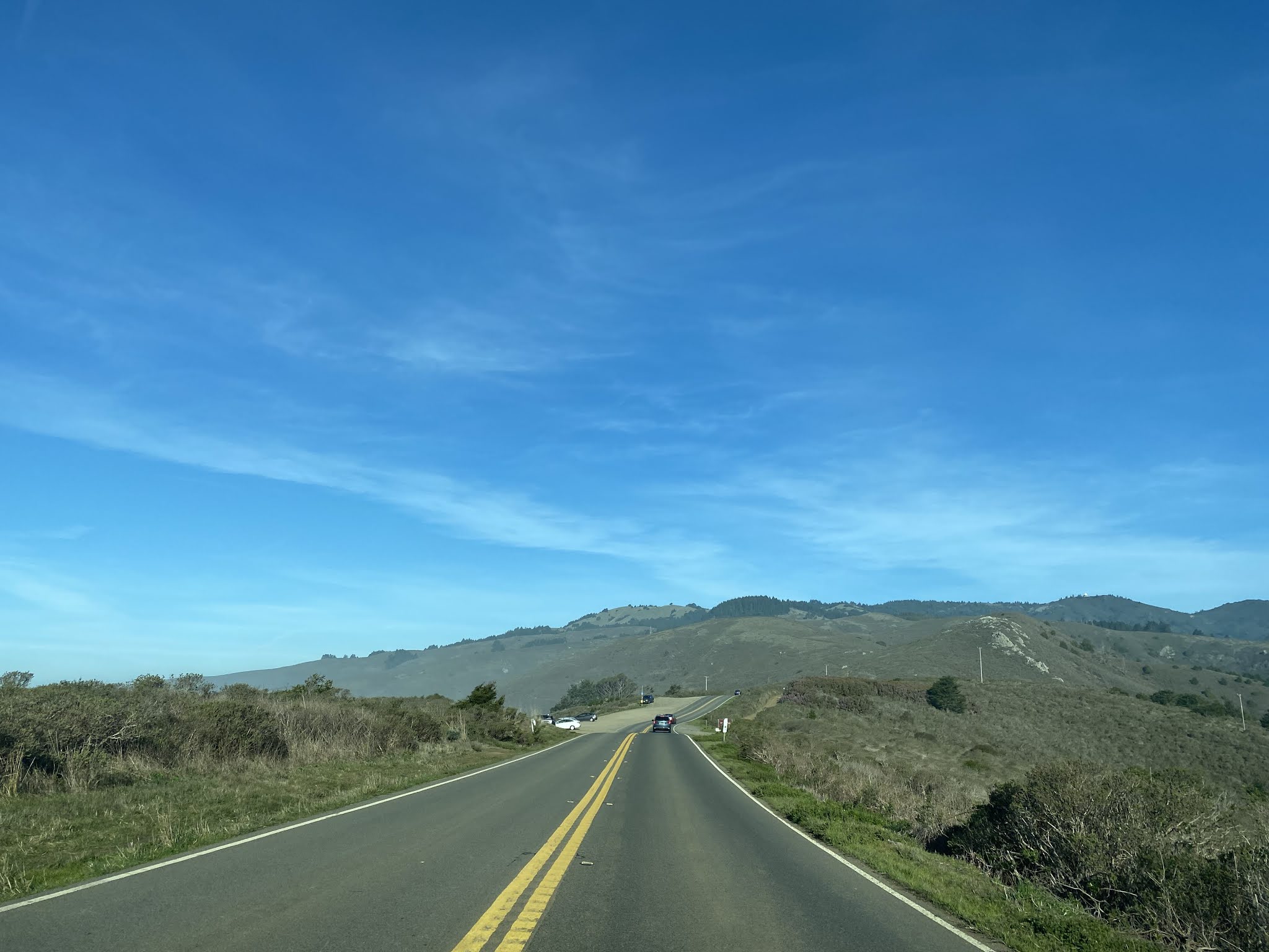
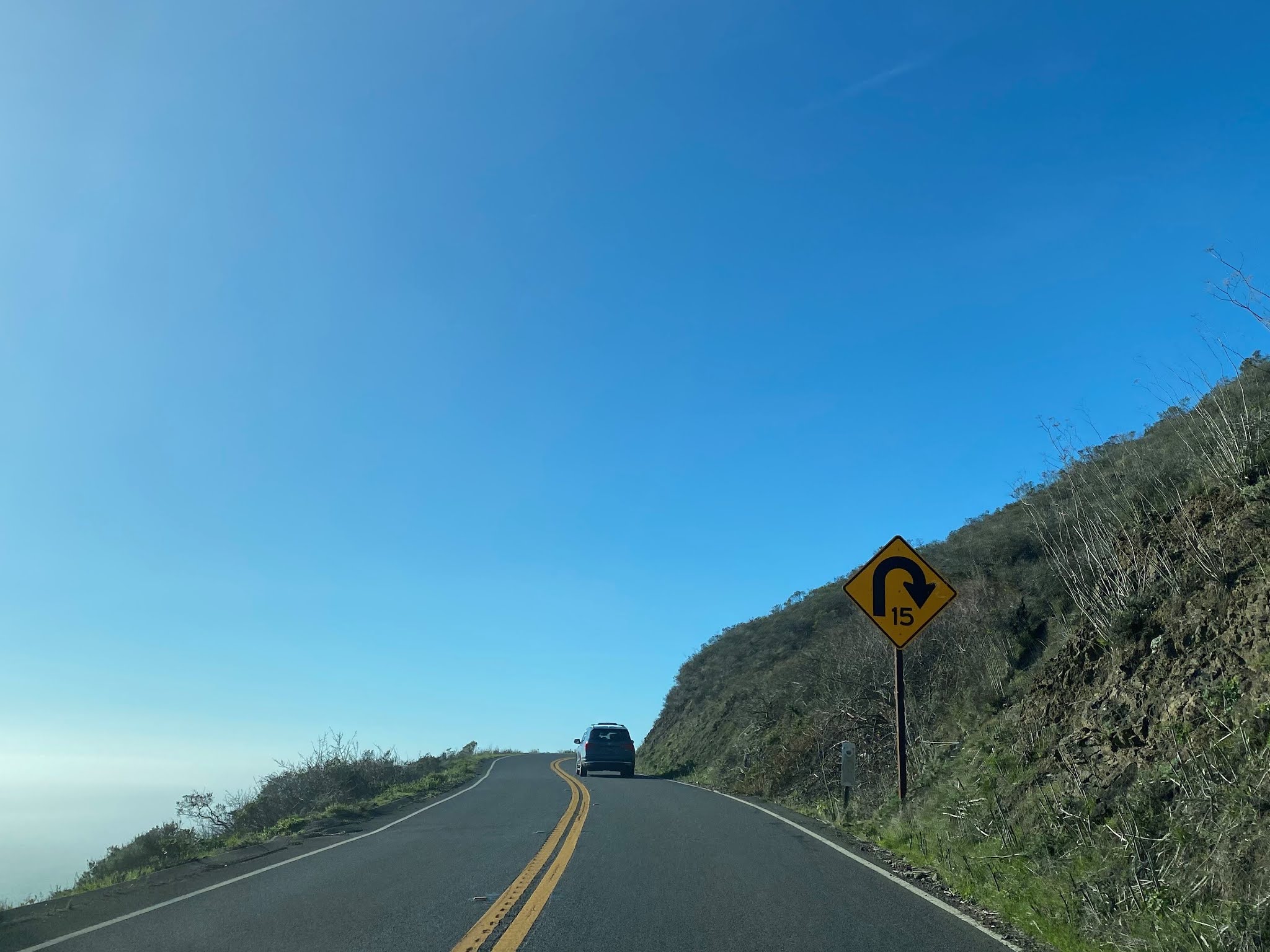
CA 1 northbound follows the Marin Hills above the Pacific Ocean towards Stinson Beach. CA 1 northbound intersects Panoramic Highway on the outskirts of Stinson Beach at Postmile MRN 12.20.


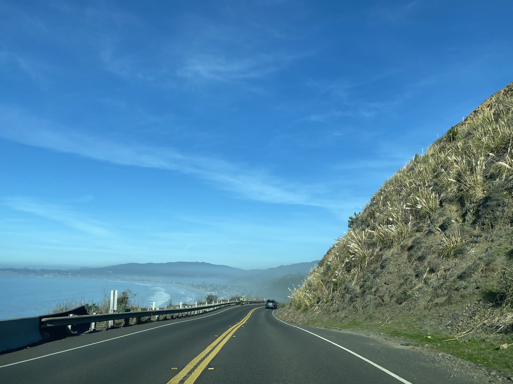


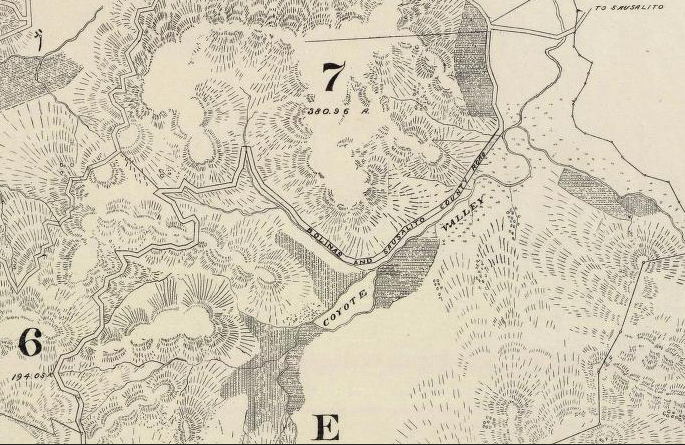
The founding of Stinson Beach dates to 1866 when Nathan H. Stinson bought property at the present site of the community bearing his name. By 1870 a stage road had been built from Sausalito to the site of Stinson's propety (which was originally known as Willow Camp). This road is shown as the Bolinas & Sausalito County Road on the 1892 Tamalpais Land & Water Company Map and largely was later incorporated into LRN 56 in 1933.


By 1896 the Mount Tamalpais & Muir Woods Railway was constructed from Mill Creek to Mount Tamalpais. Although the railroad never was constructed west of Mount Tamalpais it was connected via a stage road (Panoramic Highway) in 1902. The 1906 San Francisco Earthquake saw a swath of refuges relocate to Stinson Beach which would later obtain Post Office Service and adopt it's present name in 1916.
CA 1 northbound traverses as a narrow main street in Stinson Beach and emerges onto Bolinas Lagoon.


According to the Bolinas Museum Facebook Page the corridor along Bolinas Bay has always been flood prone. The Marin County Journal carried a boastful story in 1875 which detailed the new highway which had been constructed along Bolinas Lagoon. Said Highway was reported to be immune to tidal flooding. This same road was described as being heavily damaged in 1878 with three bridges lost between Bolinas and Olema. This road was rebuilt again in 1921 as a all-weather road but again suffered damage during floods in 1926. The 1921 road would be later incorporated into LRN 56 in 1933.
This image posted from the Bolinas Museum History Archives shows a car driving by Supervisor's Rock in Bolinas Lagoon in the early 20th Century.

The road along Bolinas Lagoon can be seen on the 1917 California State Automobile Association Map.

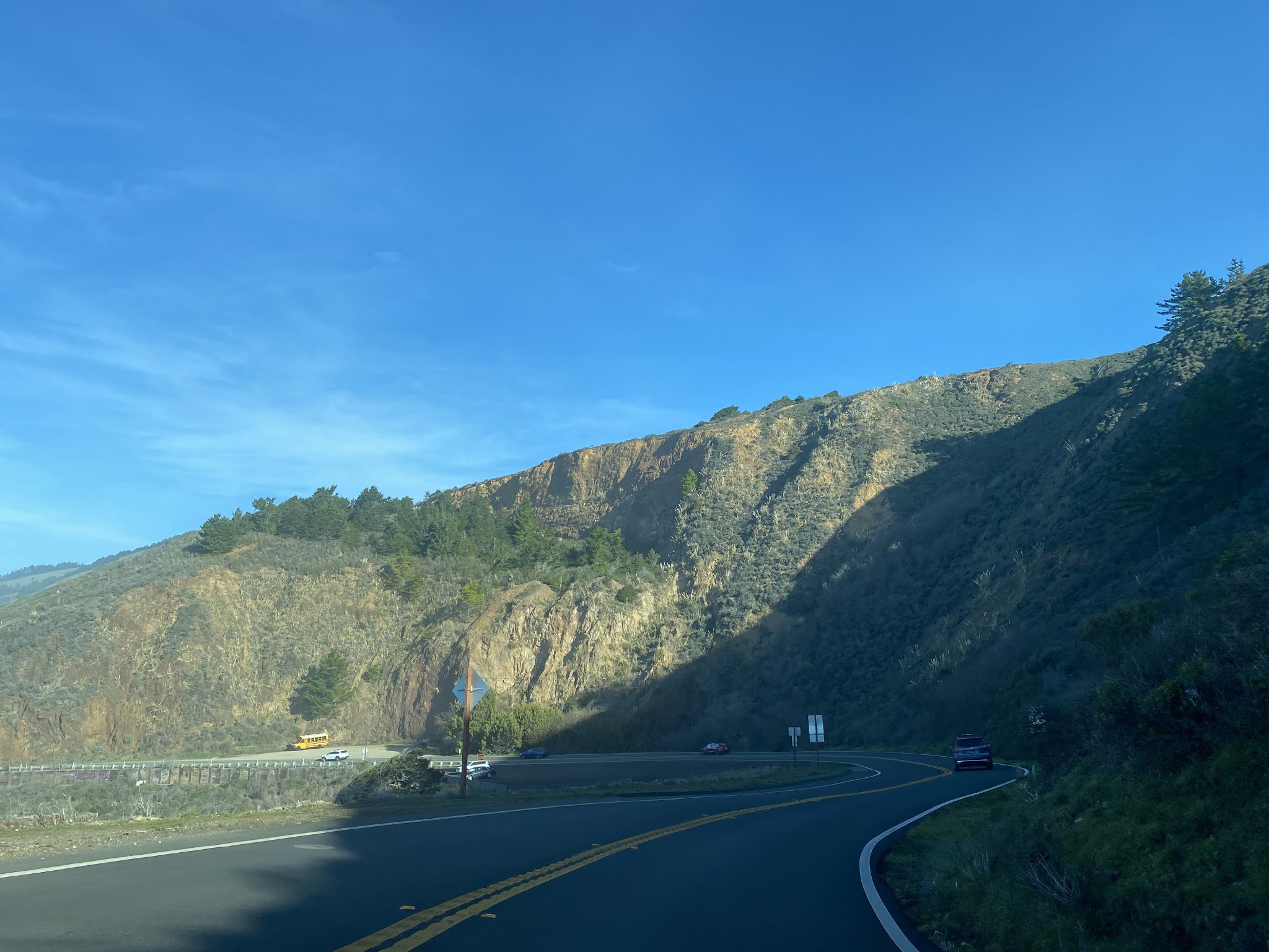
CA 1 northbound follows a narrow and widing grade along the eastern shore of Bolinas Bay. A guide sign departing Stinson Beach shows Olema 13 miles to the north. At Postmile MRN 17.19 CA 1 northbound intersects Olema-Bolinas Road (which apparently has a street blade which is frequently stolen).


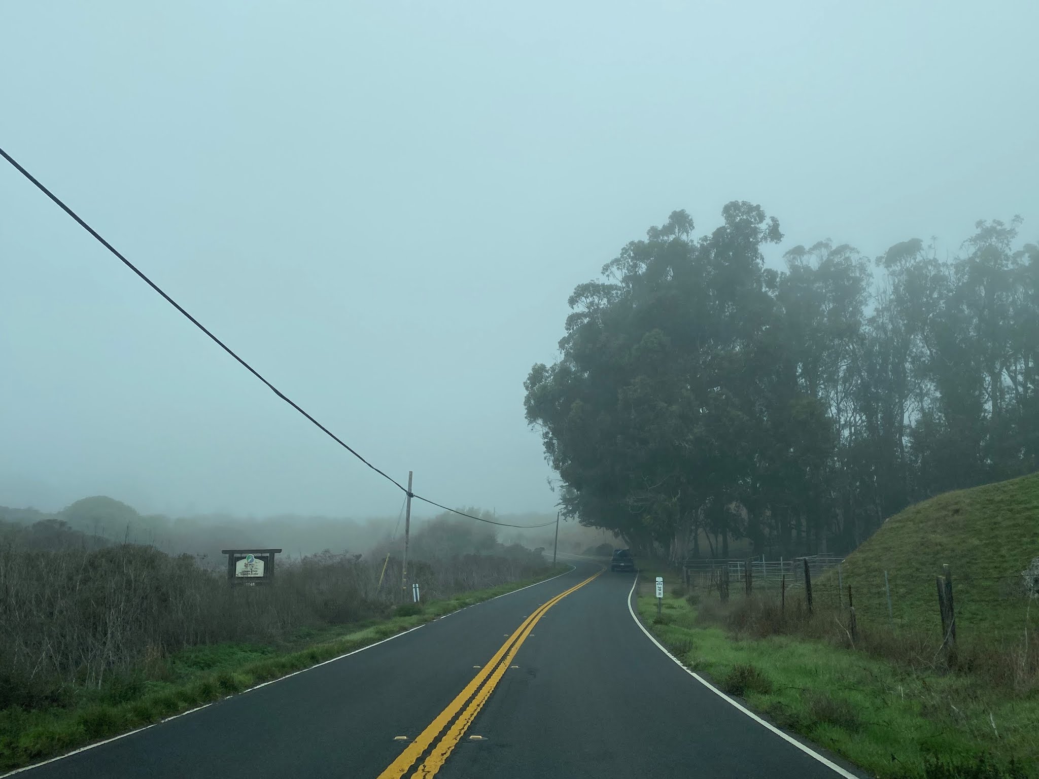
CA 1 northbound enters the Olema Valley annex of Golden Gate National Recreation Area.

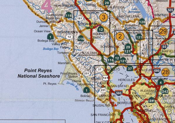
CA 1 northbound begins to follow Olema Creek and enters Point Reyes National Seashore. At Postmile MRN 26.21 CA 1 northbound emerges into Olema.


Olema was settled during the California Gold Rush as a dairy community which was on the Stage Route (now Sir Francisc Drake Boulevard) to Inverness. The first Post Office in Olema was opened in 1859 and the community takes it's name for the Miwok word for "Coyote." Olema can be seen on the 1873 Bancroft's Road Map of California as a head on the stage route to San Rafael.

CA 1 northbound intersects Sir Francis Drake Boulevard at Postmile MRN 26.50.


Bear Valley Road in Olema is signed as access to the main attractions of Point Reyes National Seashore. The Point Reyes Lighthouse is shown as 21 miles to the west.

Point Reyes was explored by Sir Francis Drake in 1579. The Point Reyes Lighthouse was constructed at the end of the Point Reyes peninsula in 1870 and was automated in 1975.


Departing Olema CA 1 northbound is signed as 2 miles from Point Reyes Station.


CA 1 northbound intersects western Sir Francis Drake Boulevard at Postmile MRN 28.49.


At Postmile MRN 28.51 CA 1 northbound crosses the 1929 Lagunitas Creek Bridge into Point Reyes Station. The Lagunitas Creek Bridge is a simple pony truss design which is 100 feet in length.


Point Reyes Station was plotted as a siding of the North Pacific Coast Railroad ("NPCRR") in 1875 which was originally known as Olema Station. The Point Reyes Station Post Office opened in 1882 and was changed briefly to Marin in 1891. The community's name reverted back to Point Reyes Station at some point later in 1891. The NPCRR was originally built as a narrow-gauge line but was converted south of Point Reyes Station to standard gauge in 1920. The NPCRR continued to operate a line to Point Reyes Station until the 1930s. The NPCRR and Point Reyes Station can be seen on the 1890 George Franklin Cram Railroad Map of California.

CA 1 northbound zigzags through Point Reyes Station and intersects Point Reyes-Petaluma Road at Postmile MRN 29.32.


CA 1 north of Point Reyes Station emerges onto the eastern shore of Tomales Bay. At Postmile MRN 36.56 CA 1 northbound enters the community of Marconi. Marconi is the site of the Marconi Conference Center which was constructed in 1913 and presently is a State Historical Park. Tomales Bay is approximately 15 miles in length and is formed caused by a submerged portion of the San Andreas Fault.


CA 1 northbound enters the community of Marshall. Marshall was a siding of the NPCRR but takes it's name from the Marshall Brothers who settled the area in the 1850s. At Postmile MRN 38.41 CA 1 northbound intersects Marshall-Petaluma Road.


CA 1 continues north along Tomales Bay and passes through Nick's Cove at Postmile MRN 41.71. Nick's Cove was settled by Croatian fisherman in the early 20th Century. Nick's Cove takes it's name from Nick Kojich who arrived in 1920 and operated a well-known sea food stand.


CA 1 northbound turns away from Tomales Bay up the course of Keys Creek. At Postmile MRN 44.47 CA 1 northbound crosses Walker Creek.


At Postmile MRN 45.37 CA 1 northbound intersects Tomales-Petaluma Road on the outskirts of Tomales.


CA 1 northbound passes the community of Tomales at Postmile MRN 45.65. The first European inhabitants in what became Tomales were John Keys and Alexander Noble who arrived in 1850. A small community developed around large farming tracts which obtained a Post Office under the name of Tomalles in 1854. The NPCRR arrived in Tomales 1874 which surplanted ship borne freight from Tomales Bay. In 1879 the community took it's current derivative name of Tomales.


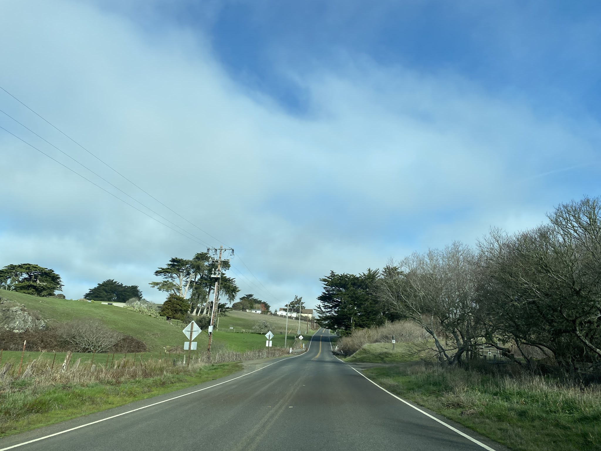
North of Tomales CA 1 passes through a series of rolling hills before unceremoniously (there is no sign) entering Sonoma County at Americano Creek.


Part 2 of the Shoreline Highway series features a driving tour of CA 1 through Sonoma County, a link can be found below:
California State Route 1 the Shoreline Highway Part 2; a drive through Sonoma County
Comments