The Winnemucca to the Sea Highway was conceived as an idea to establish a continuous, improved route branching from what was then US Highway 40 (now I-80) in
Winnemucca, Nevada to the Pacific Coast in
Crescent City, California. This highway was to span 494 miles as it crossed through deserts, mountains and forests on its way to the Pacific Ocean. Community leaders from points along this proposed highway formed the Winnemucca to the Sea Highway Association, which worked with state and local governments to obtain funding for the planning, construction and upgrade of the highway. The original proposal was to create one highway, numbered 140, which was to be applied to the complete route as the parent major US highway was coast-to-coast US-40, the Victory Highway. However, this idea never fully came to fruition. Currently, a traveler driving on the Winnemucca to the Sea Highway actually follows seven different highway numbers, which are US 95, NV 140, OR 140, US 395, OR 62, I-5, US 199 and US 101, hitting southern Oregon cities like Klamath Falls, Medford and Grants Pass on its way between Winnemucca and Crescent City. But the association did work towards getting a number of improvements made, such as the paving of the highway. For instance, in 1962, the paving of 117 miles from Lakeview, Oregon to Denio, Nevada had been completed. The Winnemucca to the Sea Highway was dedicated in September of 1962 at Doherty Slide, just east of Lakeview.
Not many reminders of the Winnemucca to the Sea Highway exist today, with exception of the portions of the highway in Nevada and Oregon that are numbered 140. In Winnemucca itself, there is a small monument to the highway at its eastern end on US 95. It is a large log from a redwood tree. The 13 feet diameter driftwood log washed ashore during the 1964 flood in Crescent City and was dedicated as a highway marker in March 1965, proclaiming that the Winnemucca to the Sea Highway is the "Gateway to the Pacific Northwest". I've driven a fair amount of the Winnemucca to the Sea Highway, including the full distance between Klamath Falls and Winnemucca, along with the portions of the old highway on US 101 and I-5. However, I drove it from the sea to Winnemucca, and that is how I'll be presenting my photos.
Our story begins in
Crescent City, California, the northwestern-most city in the Golden State. Crescent City is home to the
Battery Point Lighthouse, built in 1856, which sits on a tiny island that can only be reached on foot at low tide. I happened to venture out to the lighthouse one foggy morning after walking around Crescent City's harbor. With Crescent City's location along the Pacific Ocean, it is subject to tsunamis. In fact, 32 tsunamis have been recorded at Crescent City since 1933. The
most devastating tsunami in Crescent City happened following the March 28, 1964, 9.2 magnitude earthquake that struck Alaska, remaining the most powerful earthquake ever recorded in North America. There is now a
tsunami walking tour in downtown Crescent City which serves as a reminder for this tragedy.
As US 101 sticks along the coast and heads to Smith River, the
Easter Lily capital of the world, and then on to the Oregon Coast, the Winnemucca to the Sea Highway veers inland along US 199 through the towering forests and hills of the Coast Ranges towards
Grants Pass, Oregon. I haven't driven this stretch of road yet, but there are some points of interest to be aware of as you go through the tippy-top of northern California and venture into southern Oregon. The road goes through the famed
Jedediah Smith Redwoods State Park, intersecting paths that wind deep into the muscular beauty of these giant conifer trees. You'll then pass through the
Collier Tunnel, opened in 1963. This was instrumental in turning US 199 into a modern highway and was supported by the efforts of the Winnemucca to the Sea Association. Previously, the highway wound its way up and down the Hazel View summit, and before that, replaced the old
Gasquet Toll Road. US 199 continues winding its way through the Smith River Canyon and Oregon's
Illinois Valley. The highway passes through
Cave Junction, known as the Gateway to the
Oregon Caves National Monument. Finally, the highway reaches
Grants Pass, the town known for the
Caveman Bridge, before joining up with I-5 on its way to Medford.
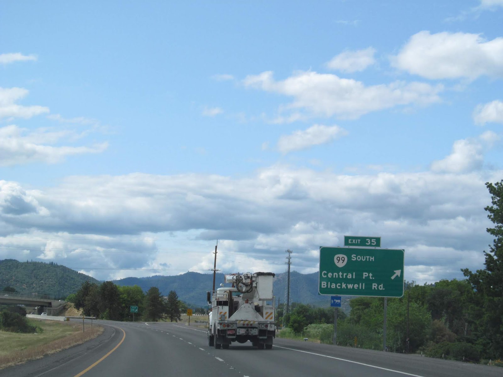
The stretch of I-5 between Grants Pass and Medford is the only part of the Winnemucca to the Sea Highway that is on an Interstate highway. There's also a scenic parallel route, OR 99, which is the old US 99 and it winds its way through the scenic
Rogue River Valley. Upon reaching Medford and stopping for some delicious wine or food from Harry & David, the Winnemucca to the Sea Highway heads onto OR 62 and then OR 140 as it winds through the Cascades on its way to Klamath Falls, passing by the volcanic
Mount McLoughlin on the way.
In many ways,
Klamath Falls is a transitional area for the Winnemucca to the Sea Highway. The landscape changes from the coniferous forests of the Cascades to the juniper and sage that you find in more arid and semi-arid climates. Oregon's "City of Sunshine", Home of
international building giant Jeld-Wen,
Klamath Falls is also the largest city east of the Cascades along the highway, with populated areas becoming increasingly sparse the further east you go.
 |
| Downtown Klamath Falls. |
 |
| It's a long way to Winnemucca from Klamath Falls, just over 300 miles away. Even Lakeview is about 100 miles away on OR 140, the Winnemucca to the Sea Highway. |
 |
| Heading on OR 140 east from Klamath Falls, the highway goes through fields and trees. |
 |
| As well as through farmlands. This is near the community of Dairy. |
 |
| Near Bly, there are more grass and shrubs to be seen. Bly, Oregon is the location of the only World War II civilian fatalities that occurred in the 48 contiguous United States. The six deaths were caused by a Japanese balloon bomb that was launched into the jet stream with the intent to start fires in the forests of North America. |
 |
| OR 140 meets US 395 in Lakeview, the "tallest town" in Oregon at an elevation of 4798 feet. Lakeview is on the edge of the high desert and is near Goose Lake, which is on the border between Oregon and California. |
 |
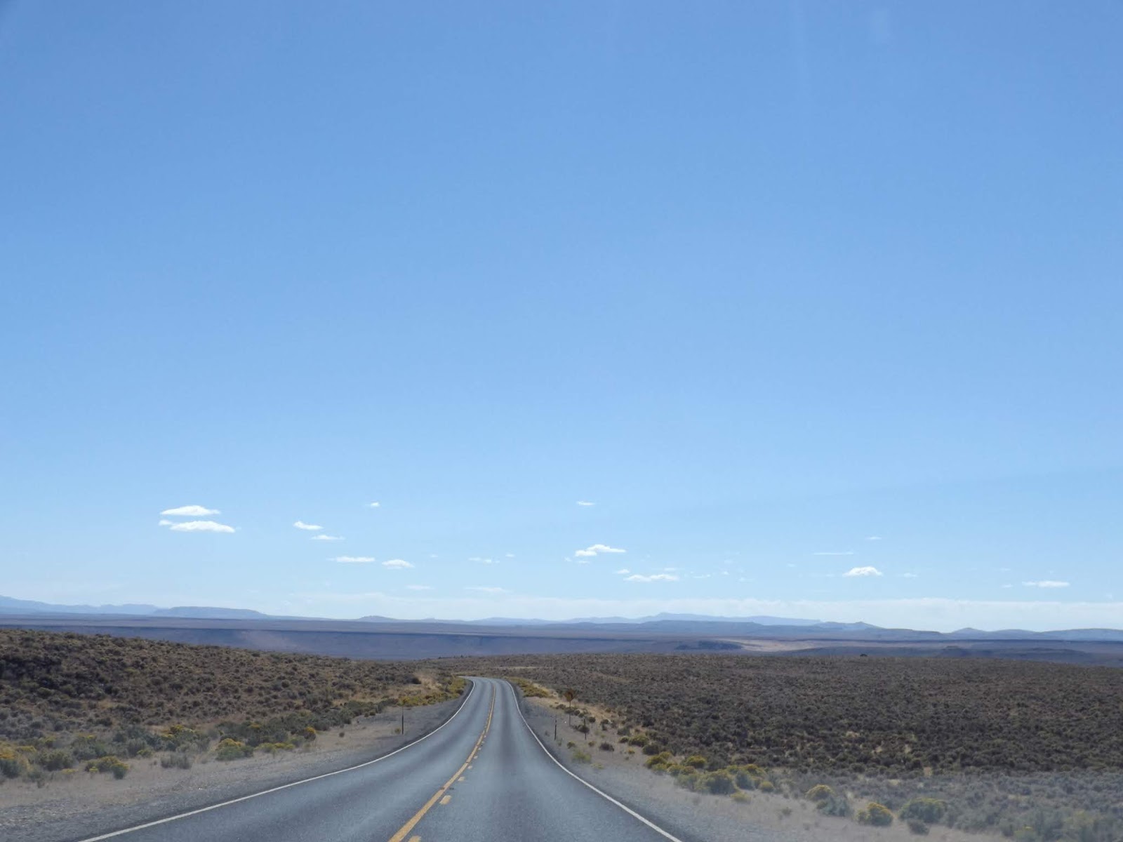
| After leaving Lakeview, the Winnemucca to the Sea Highway starts its journey through the high desert terrain of Oregon's Outback. |
 |
| Sometimes it feels like there are more cows than people in this part of the world. |
 |
| But at least the scenery is nice. |
 |
| Adel, Oregon, last stop for gas, washroom and food for about 100 miles. Also the last stop for rusted out machinery for a while too. At least it looks nice on a bluebird day. |
After going through Adel, the open expanses of the high desert really start coming into view and will remain so for the remainder of the drive to Winnemucca. Before the Winnemucca to the Sea Highway crosses the border into Nevada, it goes through the steep
Doherty Rim, with an 8% grade at times and a steep dropoff off of the road into the Warner Valley below. At 6246 feet above sea level, it is one of the highest points on the entire Winnemucca to the Sea Highway.
 |
| Leaving Oregon, entering Nevada. In my opinion, some of the best scenery on the Winnemucca to the Sea Highway is in Nevada and the Black Rock Desert. I'll let the pictures do the talking here. |
 |
| Approaching Denio, Nevada, first settlement on the Winnemucca to the Sea Highway since Adel, Oregon. |
 |
| The livestock signs on NV 140 are well illustrated. |
 |
| NV 140 ends at US 95 somewhere near the base of that mountain. |
 |
| And sure enough, NV 140 ends. Turn right onto US 95 and continue on the Winnemucca to the Sea Highway. At one time, NV 140 and US 95 were signed concurrently into downtown Winnemucca. |
 |
| Paradise Summit. |
 |
| Approaching downtown Winnemucca. |
 |
| The eastern end of the Winnemucca to the Sea Highway in downtown Winnemucca, Nevada. I hope you enjoyed the drive. |
Sources and Links:
Winnemucca to the Sea Road Trip - Laura Read @ ReadWriteShoot
Winnemucca to the Sea Highway (
PDF) - Winnemucca Convention and Visitors Authority
As It Was: Winnemucca to the Sea Route Links Nevada to California - Jefferson Public Radio
Turning Off onto the Winnemucca-to-the-Sea Highway - Looking for Detachment
This blog is part of the larger Gribblenation US Route 99 Page. For more information pertaining to the other various segments of US Route 99 and it's three-digit child routes check out the link the below.






Comments