
The present California State Route 14 ("CA 14") is a 117 mile north/south State Highway which begins at US Route 395 ("US 395") and ends at Interstate 5 ("I-5") near Newhall Pass. Present day CA 14 is tied to numerous historically important Californian highways dating back to the times of wagon routes up to the era of the US Route System.

Part 1; the history of El Camino Sierra, Legislative Route 23, California State Route 7, US Route 6, and California State Route 14
The route of US 395 and CA 14 south from Sonora Pass occupies a corridor that was once part of the early Auto Trail known as El Camino Sierra. El Camino Sierra originally extended south from Sonora Pass towards Mojave. Gradually as time progressed El Camino Sierra south of Mojave came to be known as Sierra Highway and continued as far south as Newhall Pass. During the American California Gold Rush the future path of CA 14 became a popular route of travel to Southern California. By 1860 a new wagon road known as the Los Angeles-Inyo Road was formed to facilitate travel to the Eastern Sierra Range.
El Camino Sierra has origins in the formation of the Inyo Good Roads
Club which was founded in April of 1910. El Camino Sierra was formally
dedicated in August of 1910 during a tour of the planned route which was
attended by then California Governor James Gillett. More about the
formation of El Camino Sierra can be found on
theothersideofcalifornia.com.
othersideofcalifornia.com on the History of El Camino Sierra
More on El Camino Sierra from the Nevada State Line south to CA 14 can be found on in article below.
US Route 395; Nevada State Line south to California State Route 14 (Adventure on El Camino Sierra)
El Camino Sierra unlike El Camino Real didn't have an actual Spanish
analog. El Camino Sierra was a similar attempt to promote a route as a
major automotive highway in California after the formation of the
American El Camino Real. The American El Camino Real began installing
bells along the route of what would become US 101 between Los Angeles
north to San Francisco. El Camino Sierra and the American El Camino
Real are some of the earliest attempts to sign what would be eventually
came to be known as a promoted Auto Trail.
CAhighways.org on El Camino Real
The creation of El Camino Sierra occurred roughly alongside the
expansion of Legislative Route Number 23 ("LRN 23". LRN 23 was loosely
defined first in 1901 as a State Highway running from Long Barn eastward
over Sonora Pass to Bridgeport. The 1909 First State Highway Bond Act
(which was approved by voters in 1910) expanded LRN 23 southward to LRN 4
(future US 99) in Saugus and clarified the north terminus as
Bridgeport. LRN 23 would be further expanded northward via the planned
route over Monitor Pass to LRN 11 on the Lake Tahoe Wagon Road (future
south route of the Lincoln Highway and US 50). More regarding the
history of LRN 23 can be found on CAhighways.org.
CAhighways.org on LRN 23
Starting in 1913 the Midland Trail began being signed. The route of
the Midland Trail in California originally had several branches that
split away from each other on El Camino Sierra after the mainline route
entered the state via Westgard Pass (modern CA 168):
- One route went north to Tioga Pass (modern CA 120) towards San Francisco.
- A second route went further north to Lake Tahoe and crossed the
Sierra Range via Placerville (future US 50) towards San Francisco.
- A third route went south and went through Tehachapi Pass (future CA
58) into San Joaquin Valley with an ultimate terminus of San Francisco.
This spur of the Midland Trail appears to have been initially planned
to be routed over a new highway over Piute Pass (unbuilt CA 168) on a
short-cut to Fresno.
- The fourth route continued down El Camino Sierra towards Los
Angeles. This fourth route ultimately would become what was considered
the mainline of the Midland Trail.
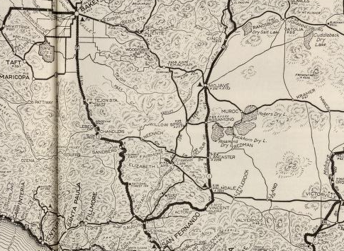
The 1917 California State Automobile Association highway map is the earliest edition that I can find which displays El Camino Sierra running from Coleville south to Saugus.


The first State Highway Map to display LRN 23 was published in 1918. The 1918 Division of Highways Map shows much of LRN 23 from Bridgeport south to Saugus as only a proposed road. The 1918 State Highway Map shows that LRN 23 was likely graded south of the Tioga Pass Road, graded near the Long Valley Reservoir, partially paved/graded between Bishop and Independence, and partially graded/paved between Palmdale south to Saugus.


El Camino Sierra can be seen as an Auto Trail marked with signs stating "ECS" on this 1920 Clauson Highway Map of California. The Midland Trail (formally known as the National Roosevelt Midland Trail) is marked as "NRM."


The 1920 Division of Highways Map
shows El Camino Sierra paved between Palmdale south to Saugus. Further
grading is shown extending south from Long Valley Reservoir in Mono
County.

According to owensvalleyhistory LRN 23 was further funded during the
1919 Third State Highway Bond Act. By 1922 the route of El Camino
Sierra/LRN 23 was paved between Lancaster north to Mojave. This is
reflected on the 1922 Division of Highways Map along with numerous segments showing with paving under construction.

The 1924 Division of Highways Map shows El Camino Sierra/LRN 23 paved from Mojave south to Saugus. A further segment of pavement is shown complete to the north extending outward from Bishop.


The 1930 Division of Highways Map shows various segments of pavement north of Mojave completed along El Camino Sierra/LRN 23.


In 1931 the southern end of El Camino Sierra/LRN 23 was extended to Newhall Pass when US 99/LRN 4 was moved to a new alignment. A great deal of early history of what became modern day CA 14 in the Santa Clarita Area was discussed in the "Legend of the Ridge Route" regarding the realignment of State Highways in Newhall Pass:
"US 99/LRN 4 from the south end of the Ridge Route at Castaic Junction through Newhall Pass originally had been routed on; (what is now) Magic Mountain Parkway, Railroad Avenue, Newhall Avenue, and San Fernando Road. In 1931 a new routing of US 99/LRN 4 bypassing Newhall Pass, Saugus and Newhall to Castaic Junction was constructed through Weldon Canyon on what is now known as The Old Road. The former alignment of US 99/LRN 4 from Castaic Junction through Saugus and Newhall was partially reused as part of LRN 23" LRN 23 entered Saugus via Soledad Canyon Road on the south bank of the Santa Clara River to Bouquet Canyon Road. From Bouquet Canyon Road LRN 23 turned south towards Railroad Avenue and downtown Newhall. LRN 23 followed Railroad Avenue and Newhall Avenue to San Fernando Road to reach Newhall Pass."
Understanding highways in a historical context through Newhall Pass is incredibly complex and lengthy. Newhall Pass has been a major corridor of transportation since Spanish Las Californias. Given the large historic scope, I would highly suggest reading the full Legend of the Ridge Route blog for proper historical context regarding Newhall Pass.
Legend of the Ridge Route; a history of crossing the mountains between the Los Angeles Basin and San Joaquin Valley
The current designation of CA 14 was created during the 1964 State Highway Renumbering. CA 14 from US 395 south to Newhall Pass was carved out of what was US 6 on LRN 23. The unbuilt portion of CA 14 south to CA 1 in Pacific Palisades was defined as LRN 290 in 1959. The change from US 6/LRN 23/LRN 290 to CA 14 can be seen by comparing the 1963 State Highway Map to the 1964 Edition.
The entirety of El Camino Sierra on LRN 23 and LRN 95 was selected to
be signed as part of the first CA 7 in 1934. CA 7 was announced in the
August 1934 Department of Public Works guide below on Page 21 and Page
32.
August 1934 Department of Public Works Publication Announcing the Signed State Highways


The route of the first CA 7 in 1934 was as follows headed northbound from CA 3 in Torrence:
- LRN 164 to LRN 158 in West Los Angeles.
- LRN 158 in West Angeles to US 99/LRN 4 in San Fernando. LRN 158 originally connected Sepulveda Boulevard to San Fernando Boulevard (LRN 4) via Brand Boulevard.
- LRN 23 in San Fernando along the eastern flank of the Sierras to LRN 95 near Coleville.
- LRN 95 from Coleville to the Nevada State Line.
- CA 7 had a route gap through Nevada and resumed north of Reno on LRN 29. CA 7 followed LRN 29 to CA 36 near Susanville.
- LRN 73 from CA 36 north to the Oregon State Line.
Interestingly by the time CA 7 was announced the extension of US 395 southward into California had already been approved in June 1934 by the AASHTO. US 395 would assume CA 7 from the Oregon State Line and much of El Camino Sierra southward to Bradys possibly as early as October 1934 according to CAhighways.org.
CAhighways.org on US 395
In 1935 the California Division of Highways published county level maps of highway maintenance in California. The maps below show the early alignments of El Camino Sierra along US 395 and CA 7.


The 1935 Gousha Highway Map of California shows US 395 and CA 7 on El Camino Sierra.

By 1937 US 6 had been extended into California. US 6 multiplexed US 395 south of Bishop and assumed the route of CA 7 southward to Newhall Pass near Saugus. US 6 first appears on the 1938 State Highway Map. Prior to US 6 being extended into California the route of CA 168 briefly multiplexed first CA 7 and then US 395 in Bishop and followed LRN 96 to the Nevada State Line at Montgomery Pass. US 6 can be seen for the first time in California on the 1938 Division of Highways Map.


By 1940 the southern segment of US 6/LRN 23 was realigned out of Soledad Canyon onto Sierra Highway on a more direct route to Newhall Pass. This change can be see on the 1940 Division of Highways Map.

During the 1964 State Highway Renumbering US 6 was truncated back to US
395 in Bishop. What had been US 6 south of Bradys to Newhall Pass was
renumbered as CA 14. CA 168 was extended south from Bishop on US 395
and east over Westgard Pass to the Nevada State Line. All hidden
Legislative Route designations were dropped during the 1964 State
Highway Renumbering. This was the genesis point of the modern
designations of US 395/CA 168/CA 14 on El Camino Sierra, the changes can
be observed the 1964 Division of Highways Map.


The 1964 State Highway Map above shows part of CA 14 shifted to the Antelope Valley Freeway east of Saugus. By 1966 the Antelope Valley Freeway was extended east to the planned junction with CA 249 and CA 122. The planned route of the Antelope Valley Freeway through Palmdale also appears on the 1966 State Highway Map.

The 1967 State Highway Map shows the Antelope Valley Freeway completed between Saugus and Palmdale. A small stub of the Antelope Valley Freeway is shown completed east of I-5 in New Hall Pass to Newhall Avenue/CA 126

The alignment of CA 14 north of Lancaster to Rosamond is shown shifted to a new expressway alignment on the 1969 State Highway Map.

The 1970 State Highway Map shows the Antelope Valley Freeway completed between I-5 in Newhall Pass to Palmdale.

Sometime between 1970 and 1975 the Antelope Valley Freeway was completed north of Palmdale to Lancaster.

It should be noted that part of Sierra Highway between Placerita Canyon Road and Golden Canyon Road is still under State Maintenance as CA 14U. Presently Caltrans is attempting to repair the CA 14U section of Sierra Highway to turn over to the City of Santa Clarita.
Part 2; a drive on California State Route 14
CA 14 southbound begins at a split from US 395 in northern Kern County. Before 1964 this would have been where US 6 split from US 395 towards Los Angeles.


CA 58 is signed as 45 miles way due south on CA 14 from US 395.

CA 14 south passes through Indian Wells at approximately Postmile KER 62.500.


At Postmile KER 60.696 CA 14 south picks up CA 178 west.


CA 14 south/CA 178 west multiplex drop to two lanes and at Postmile KER 57.785 the latter splits towards Bakersfield via Walker Pass.


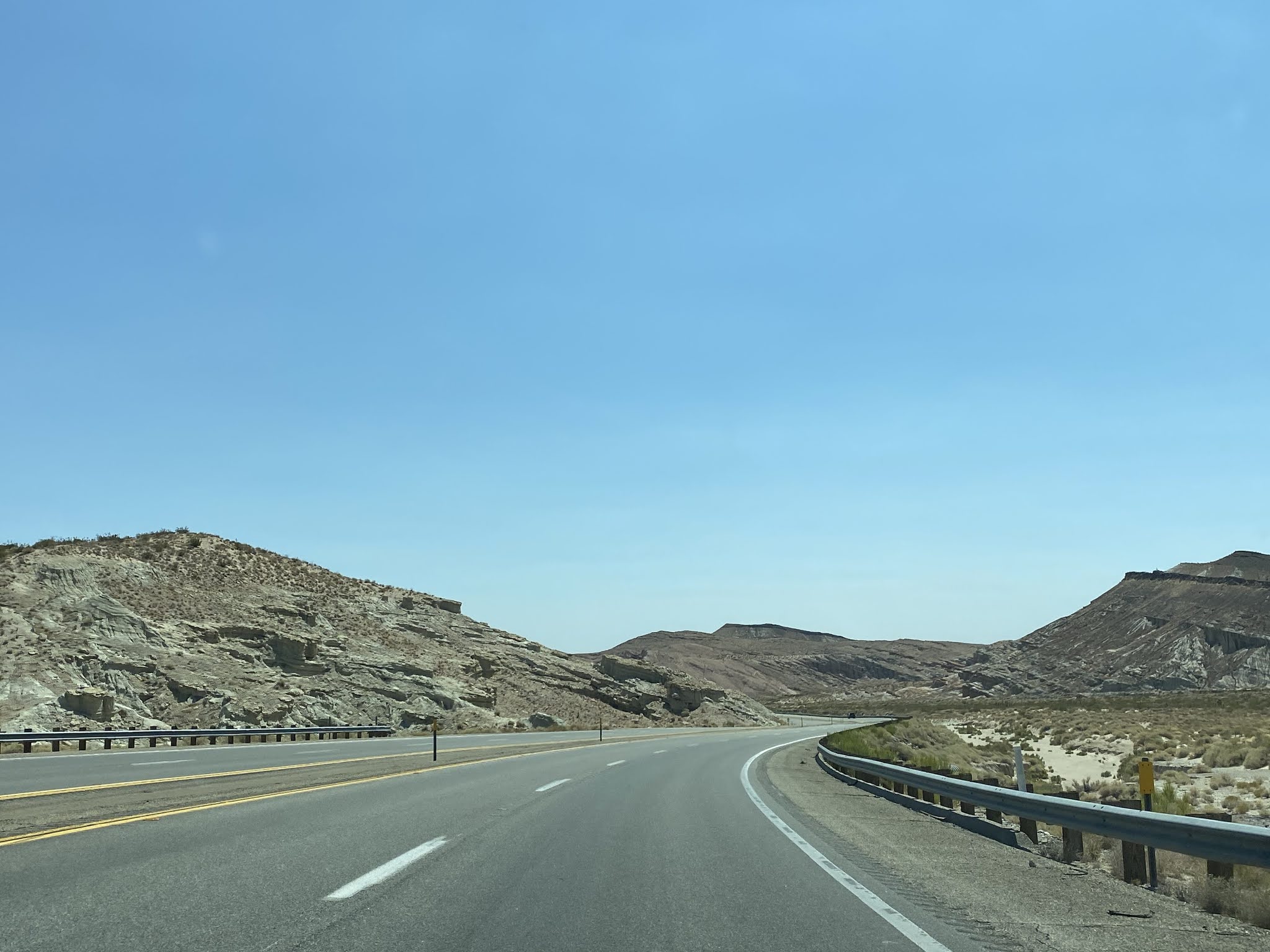
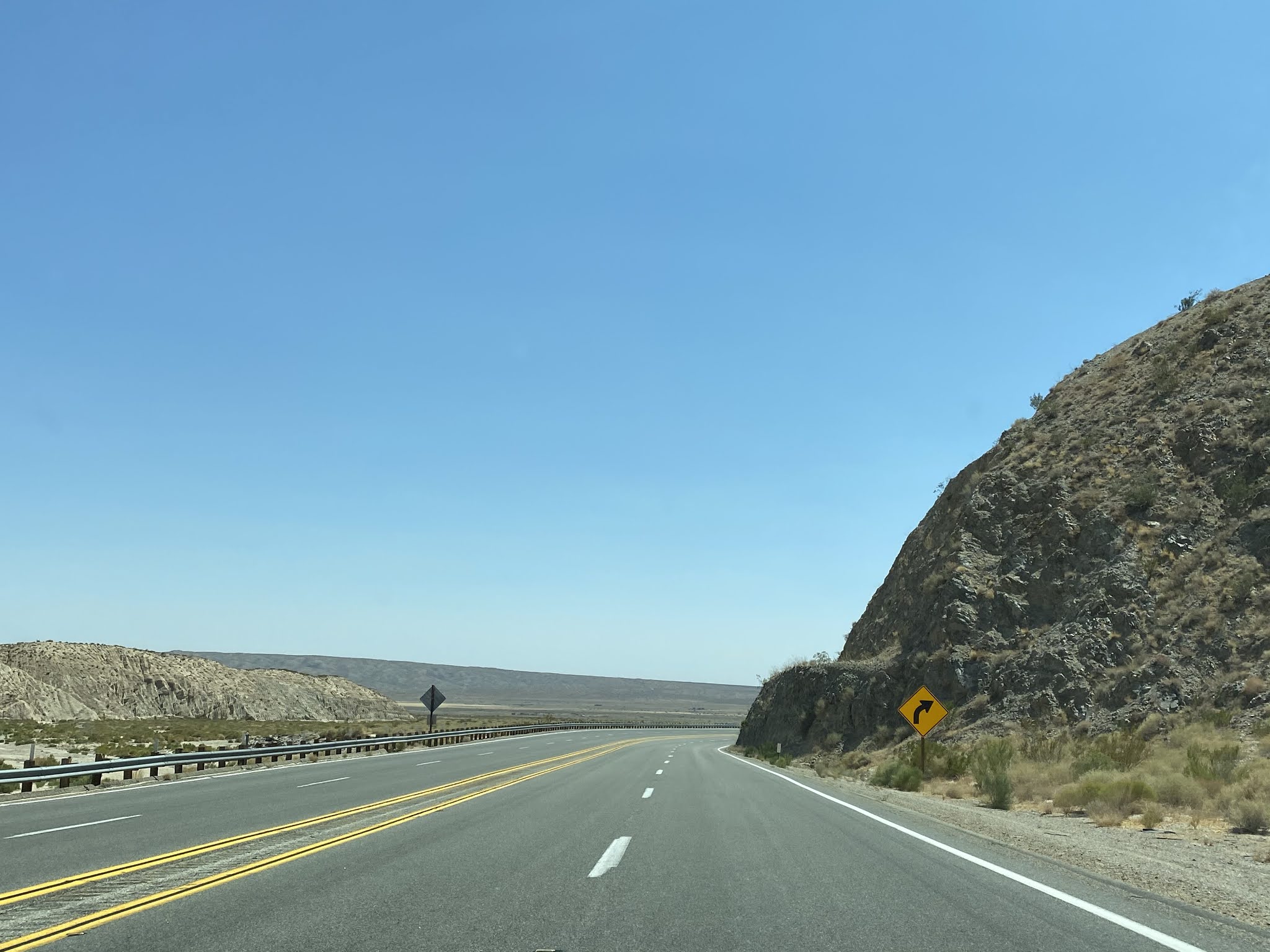
Approaching Red Rock Canyon State Park CA 14 south expands back to four lanes.


CA 14 south passes through Red Rock Canyon and emerges at Postmile KER 36.589 near Redrock-Randsburg Road.


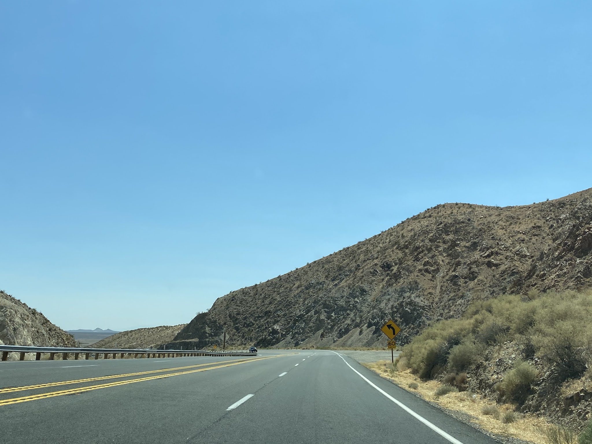


CA 14 south is signed as 18 miles from Mojave as it passes by Jawbone Canyon.


CA 14 south enters California City and expands to a freeway grade approaching California City Boulevard.


At Postmile KER 19.24 CA 14 intersects CA 58.


CA 14 south of CA 58 is signed on the Aerospace Highway in Mojave. At Post Mile 16.07 CA 14 south intersects the CA 58 Business Route in downtown Mojave which is the old alignment of US Route 466. Interestingly CA 14 south in Mojave has at least one "Grand Army of the Republic" shield which really calls back to the fact that the highway was once US 6.


CA 14 south multiplexes CA 58 BL east through downtown Mojave. CA 58 BL splits east away from CA 14 at Post Mile L16.093 in downtown Mojave at Mojave-Barstow Highway.


CA 14 south of CA 58 BL expands to an expressway and crosses over a large rail overpass. CA 14 south from Mojave is signed as 97 miles from Los Angeles.


CA 14 south expands to a freeway at Exit 64 for Silver Queen Road.


CA 14 south at Exit 61 accesses Backus Road.


CA 14 south enters Rosamond and accesses Dawn Road at Exit 58.


At Exit 55 CA 14 south has a junction with Rosamond Boulevard which is signed as access to Rosamond, Willow Springs International Raceway and Edwards Air Force Base.


At Exit 52 approaching Avenue A CA 14 south enters Los Angeles County.


At Exit 49 CA 14 south meets CA 138 at Avenue D.


CA 14 south begins a multiplex with CA 138 east. Signage of the Antelope Valley Freeway begins on CA 14 south of Exit 49.


CA 14 south/CA 138 east meet Avenue F at Exit 47.


At Exit 46 CA 14 south/CA 138 east enters Lancaster and has access to Avenue G. Traffic is directed to follow Avenue G to Fox Airport.


At Exit 45 CA 14 south/CA 138 accesses Avenue H.

CA 14 south/CA 138 east access downtown Lancaster via Avenue I at Exit 44. Avenue I westward is the former alignment of CA 138 and the most direct access to the California Poppy Reserve.


CA 14 south/CA 138 east meet Signed County Route N5 at Exit 43 for Avenue J.

At Exit 42 CA 14 south/CA 138 accesses Avenue K.


At Exit 41 CA 14 south/CA 138 east accesses Avenue L and enters Palmdale.


At Exit 39 CA 14 south/CA 138 east accesses Avenue N.


At Exit 37 CA 14 south/CA 138 accesses 10th Street West.


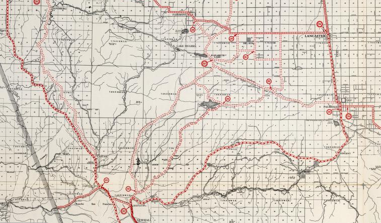
At Exit 35 CA 138 east splits away from CA 14 south via Palmdale Boulevard. Signed County Route N2 can be accessed via Exit 35 on Elizabeth Lake Road.


Access to Lake Palmdale via Avenue S is signed from Exit 33. CA 14 south of Palmdale crosses the California Aqueduct and is signed as a Safety Corridor.


At Exit 30 CA 14 south has a junction with CR N3 on National Forest Highway and Pearblossom Highway. CR N3 essentially exists on part of the corridor of the planned CA 249 which would have continued south to CA 2 on the Angeles Crest Highway. Pearblossom Highway exists partially on the corridor of the planned CA 122. There is also access to former US 6 on Sierra Highway from Exit 30. CA 14 south also begins to follow the Santa Clara River at Exit 30.


Santa Clarita is signed as 27 miles away on CA 14 south on the Antelope Valley Freeway past CR N3.

Exit 27 on CA 14 south provides access to Soledad Canyon Road and Sierra Highway.


Exit 26 on CA 14 south accesses Santiago Road. Exit 24 accesses Sierra Highway, Crown Valley Road and Red Rover Mine Road.


CA 14 south Exit 19 accesses Escondido Canyon Road.


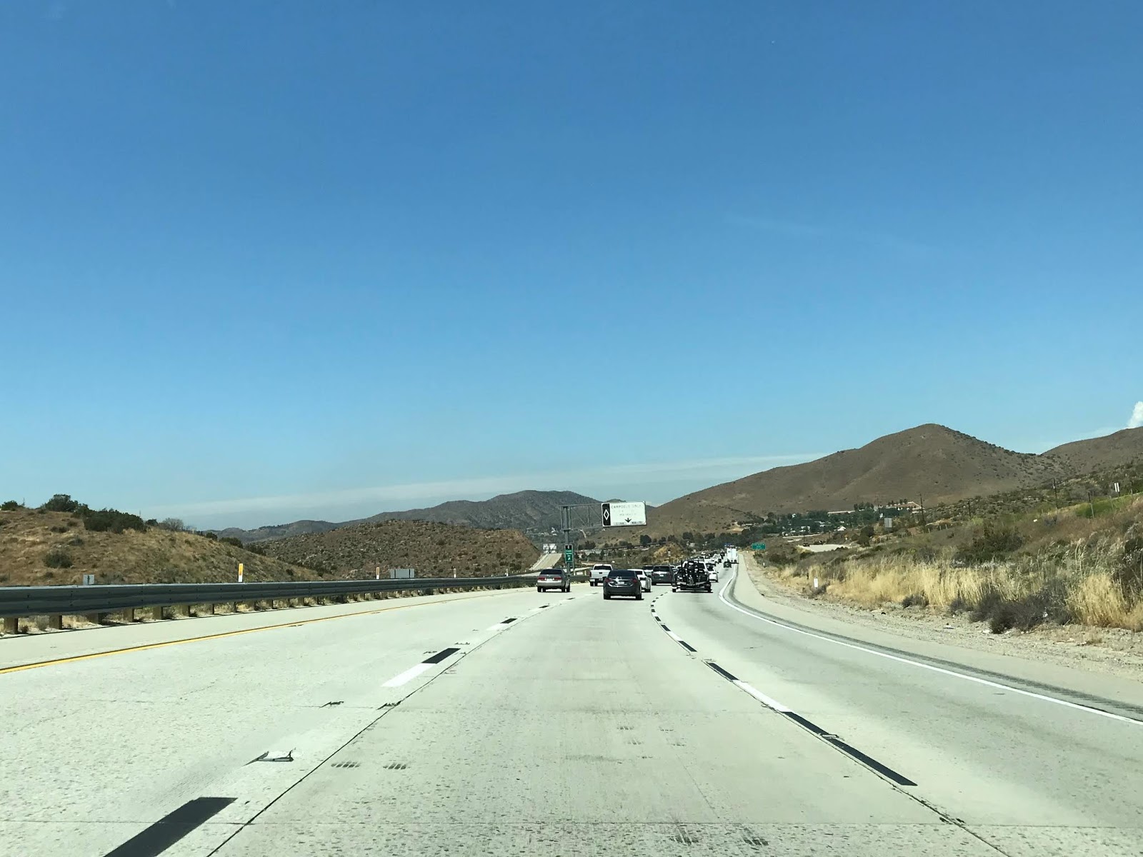
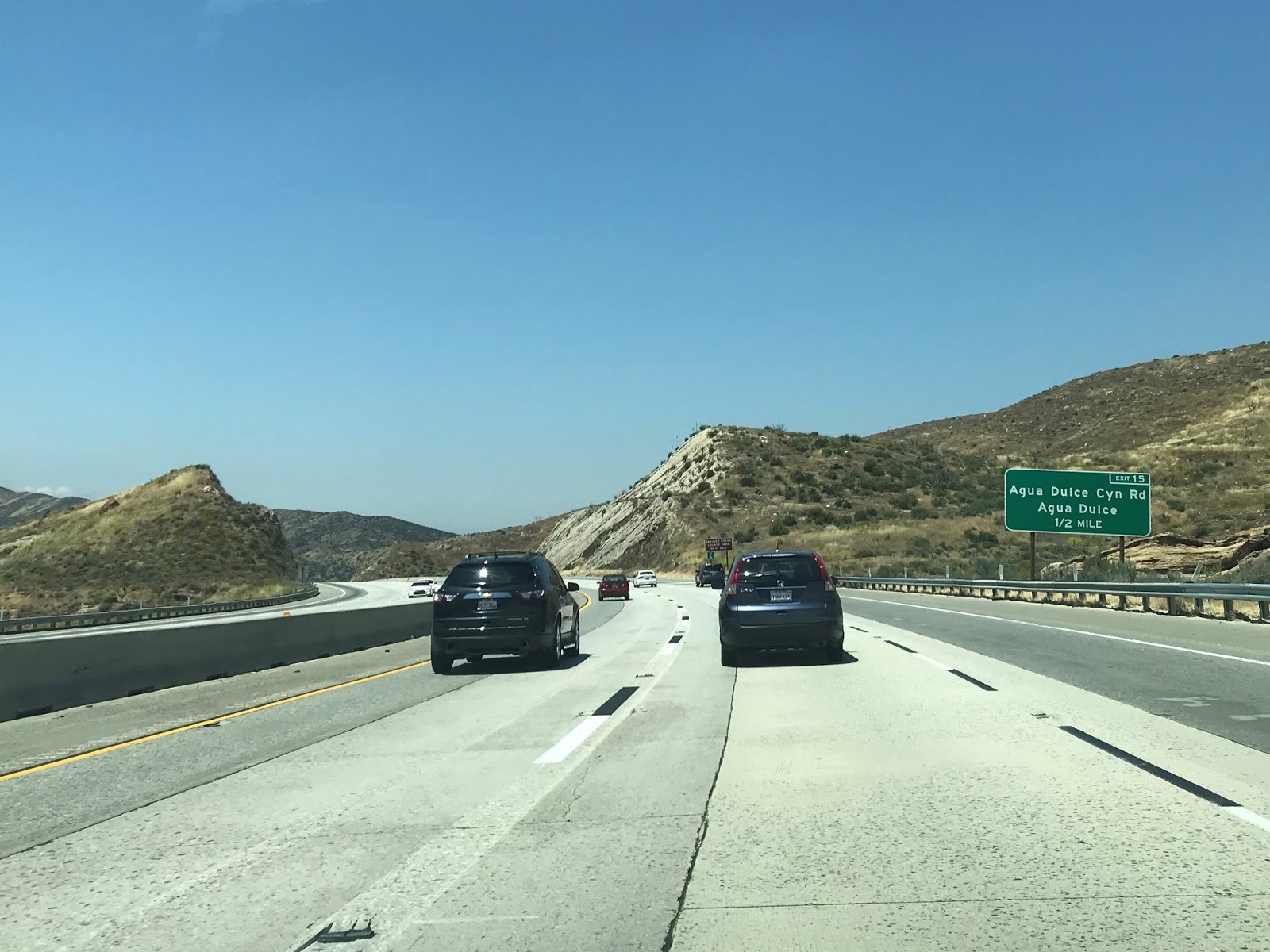
CA 14 south begins to descend downhill approaching Exit 15 Aqua Dulce Canyon Road.


CA 14 south descends below 2,000 feet above sea level and at accesses Soledad Canyon Road.


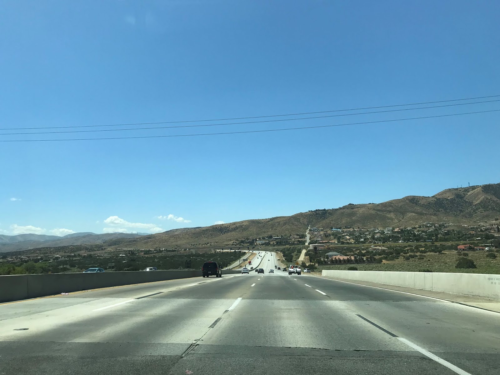
CA 14 south enters Santa Clarita and begins to descend towards Newhall Pass.


At Exit 9 CA 14 south accesses Sand Canyon Road.


CA 14 south crosses the Santa Clara River and meets Via Princessa at Exit 6.


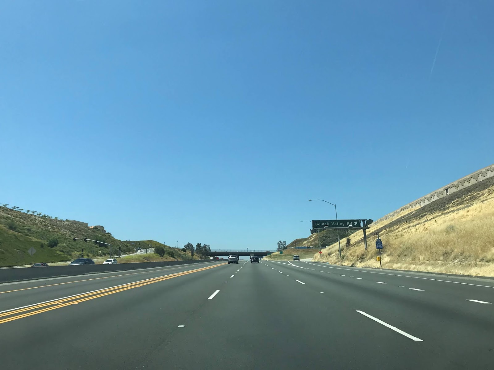
CA 14 south at Exit 5 meets Golden Valley Road.

At Exit 3 CA 14 south has signed access to Placerita Canyon Road.


CA 14 south descends to Exit 2 at Newhall Avenue which was up until recently part of CA 126.


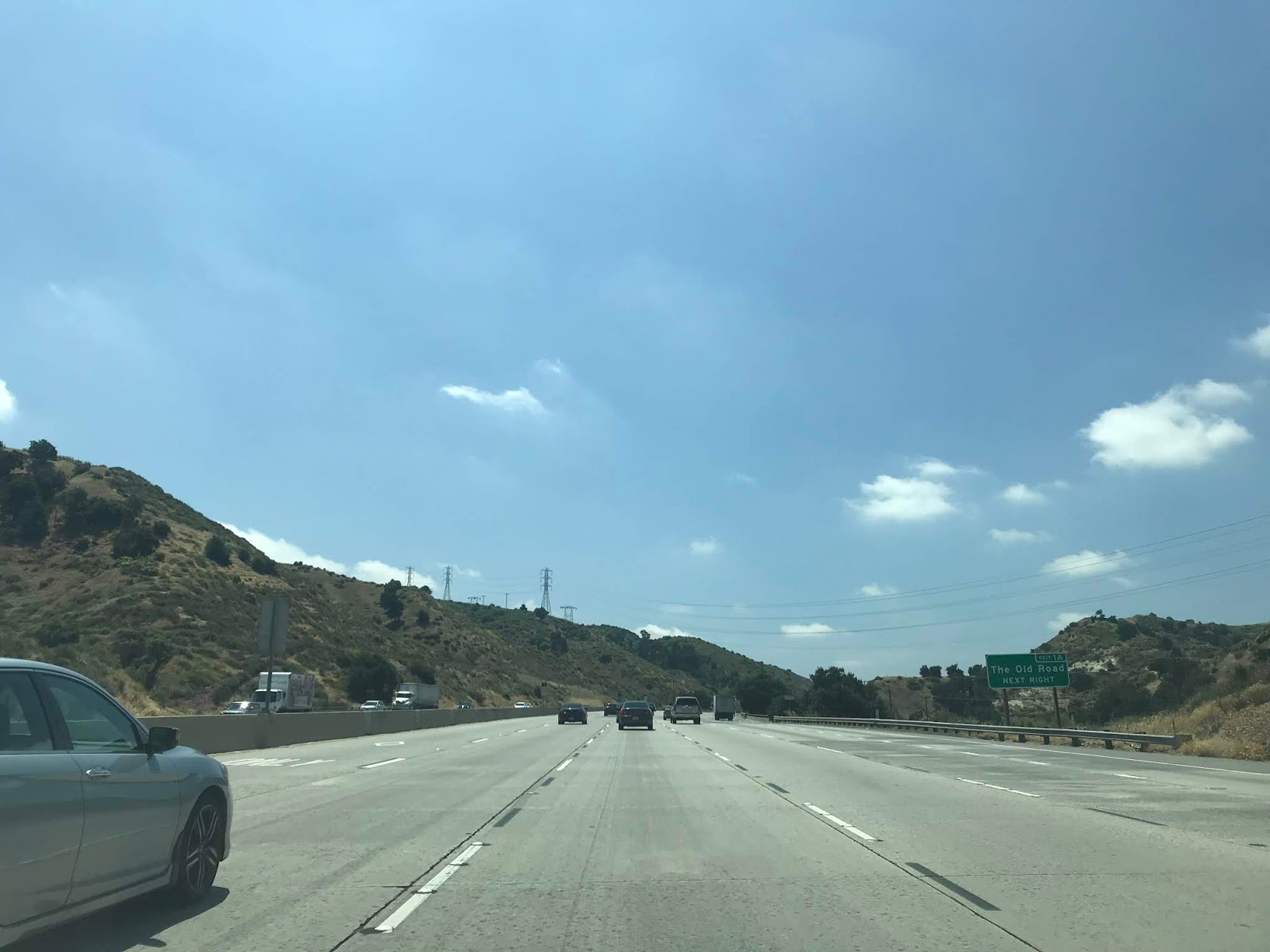
CA 14 south descends into Newhall Pass where it terminates at I-5. There is signed access to Old US 99 from Exit 1A on what is now known as the "Old Road."


Comments