Continuing eastward from Hackberry last week on the Arizona State Route 66 portion of US 66 the road goes through the communities of Valentine and Truxton.

Valentine much like Hackberry was a rail siding of the Atlantic and Pacific Railroad. Interestingly Valentine appears to have the name of Truxton originally before switching to Valentine sometime around 1910. Valentine can be seen on this 1882 map of the Atlantic and Pacific Railroad under its original name of Truxton.
1882 A&P Operating Map
The switch from Truxton to Valentine is cited on theroute-66.com.
theroute-66.com on Valentine
The community of Valentine was centered around the Truxton Canyon Training School which was constructed from 1898 to 1903. The purpose of the Truxton Canyon Training School was to forcibly assimilate children from the Hualapai Tribe from the nearby tribal lands northeast of Peach Springs. Apparently, the Truxton Canyon Training School was in operation until 1937 and is now owned by the Hualapai Tribe who are seeking to repurpose the building according to NPS.gov.
NPS.gov on Truxton Canyon Training School
Ironically another community east of Valentine would later assume the name Truxton in the early 1950s. The second Truxton was essentially founded with the purpose of serving traffic on US 66 with food, lodging, and of course gas.

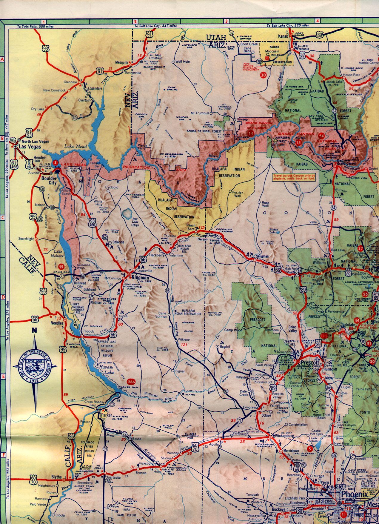
Pretty much all the old services in the second Truxton are now boarded up and no longer in use. Truxton can be seen making an appearance on US 66 on the 1961 Arizona State Highway Map.
1961 State Highway Map

Site Navigation:

Valentine much like Hackberry was a rail siding of the Atlantic and Pacific Railroad. Interestingly Valentine appears to have the name of Truxton originally before switching to Valentine sometime around 1910. Valentine can be seen on this 1882 map of the Atlantic and Pacific Railroad under its original name of Truxton.
1882 A&P Operating Map
The switch from Truxton to Valentine is cited on theroute-66.com.
theroute-66.com on Valentine
The community of Valentine was centered around the Truxton Canyon Training School which was constructed from 1898 to 1903. The purpose of the Truxton Canyon Training School was to forcibly assimilate children from the Hualapai Tribe from the nearby tribal lands northeast of Peach Springs. Apparently, the Truxton Canyon Training School was in operation until 1937 and is now owned by the Hualapai Tribe who are seeking to repurpose the building according to NPS.gov.
NPS.gov on Truxton Canyon Training School
Ironically another community east of Valentine would later assume the name Truxton in the early 1950s. The second Truxton was essentially founded with the purpose of serving traffic on US 66 with food, lodging, and of course gas.

Pretty much all the old services in the second Truxton are now boarded up and no longer in use. Truxton can be seen making an appearance on US 66 on the 1961 Arizona State Highway Map.
1961 State Highway Map

Site Navigation:
Comments