This week we examine the history of California State Route 175.


Part 1; the history of California State Route 175
CA 175's history beings with the 1909 First State Highway Bond Act which was passed by voters in 1910 and what would be come Legislative Route 16 ("LRN 16"). According to CAhighways.org LRN 16 was defined as a State Highway between Hopland east to Lakeport. LRN 16 is stated to have been in the process of being surveyed in the 1914 California Highway Bulletin.
The 1915 California Highway Bulletin states that the survey of LRN 16 was completed.
LRN 16 can be seen as a proposed highway on the 1918 Division of Highways Map of California.


LRN 16 appears on the 1920 Division of Highways State Map as a highway with completed grading or grading under contract.


LRN 16 between Hopland and Lakeport is displayed as complete on the 1920 Clason Highway Map of California.

The second segment of what is now modern CA 175 was LRN 89 between Lakeport and Middletown. According to CAhighways.org LRN 89 was originally defined in 1933 as a State Highway between Upper Lake and Middletown. CA 29 was one of the original Sign State Routes announced in the August 1934 California Highway & Public Works. CA 29's original definition had it aligned between Vallejo and Upper Lake. CA 29's original alignment included all of LRN 89.


During the 1964 State Highway Renumbering CA 29 didn't have a change of terminus points. CA 29 did have a major realignment south of Clear Lake onto what had been LRN 243 and CA 53/LRN 49 between Lower Lake south to Middletown. What had been previously CA 29 from Lakeport south Middletown was assigned to CA 175. CA 175 extended west from Lakeport via what had been LRN 16 to Hopland and US Route 101. The changes to the alignment of CA 29 along with the creation of CA 175 can be seen on the 1964 Division of Highways State Map.

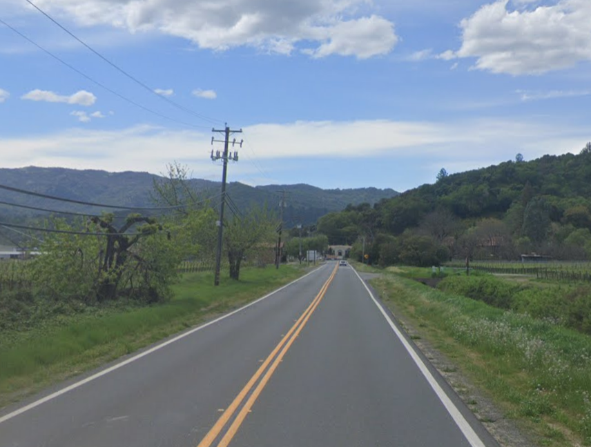
Our approach to CA 175 begins in Middletown on CA 29 northbound. CA 175 begins as CA 29 intersects Main Street. Note; all photos below are taken from Google Street View.

CA 175 westbound begins with a jog on Main Street in Middletown. Traffic is advised that trailers are not recommended over the next 20 miles.


At Postmile LAK 27.48 CA 175 westbound crosses Dry Creek.

Leaving Middletown CA 175 westbound is signed as 46 miles from US Route 101.

At Postmile LAK 25.528 CA 175 west crosses Putah Creek.


West of Putah Creek CA 175 traffic is advised of 16 miles of curves ahead.

Approaching Socrates Mine Road kingpin trailer traffic is directed to exit CA 175. CA 175 west intersects Socrates Mine Road at Postmile LAK 23.464.


CA 175 west begins to climb in elevation and enters Whispering Pines at Postmile LAK 20.427.


CA 175 west passes through Whispering Pines.


CA 175 west enters Forest Lake at Postmile LAK 19.899.


CA 175 westbound passes through Forest Lake and crosses the boundary of Boggs Mountain Demonstration State Forest at Postmile LAK 19.250.


CA 175 west makes another climb and passes through the community of Cobb.


At Postmile LAK 17.814 west passes through the community of Hobergs.


At Postmile LAK 16.69 CA 175 west passes through the community of Adams.


At Postmile LAK 16.223 CA 175 west passes through the community of Loch Lomond.


At Postmile LAK 15.002 CA 175 passes by Salminas Resort.


At Postmile LAK 14.52 CA 175 west passes through the community of Sunrise Vista.


CA 175 west passes by the community of Mouth Hannah Lodge.


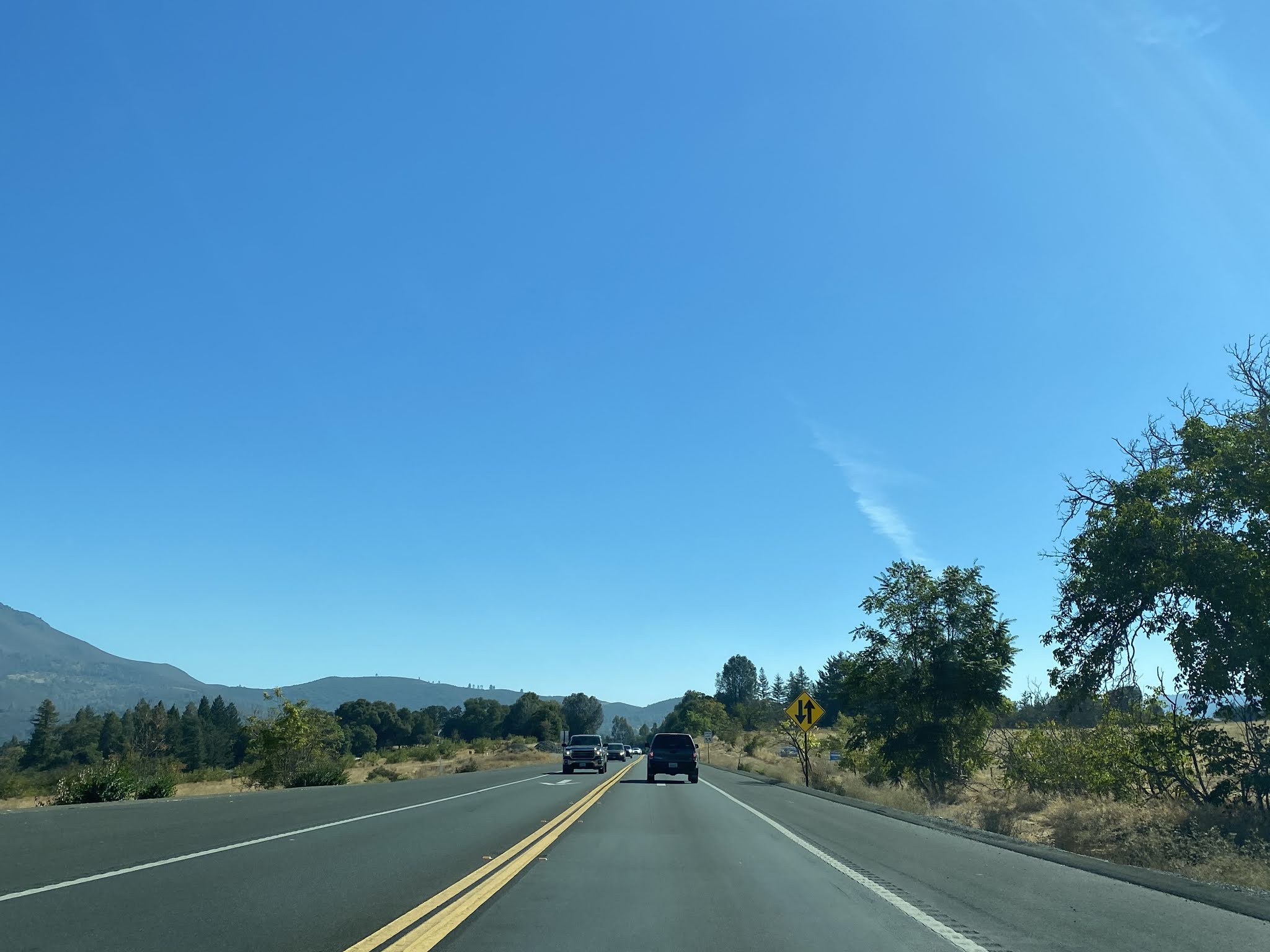
CA 175 west enters a clearing and meets CA 29 again at approximately Postmile LAK 8.27. CA 175 west begins a multiplex of CA 29 north, Kelseyville is signed as 4 miles away.


CA 175 west/CA 29 north head northwest to Kelseyville where they meet Main Street at Postmile LAK R34.587.


At Postmile LAK R40.138 CA 175 west splits from CA 29 north towards Hopland.


Traffic on CA 175 west is warned that vehicles over 39 feet in length are prohibited.

Hopland is signed as 18 miles away on CA 175 west.

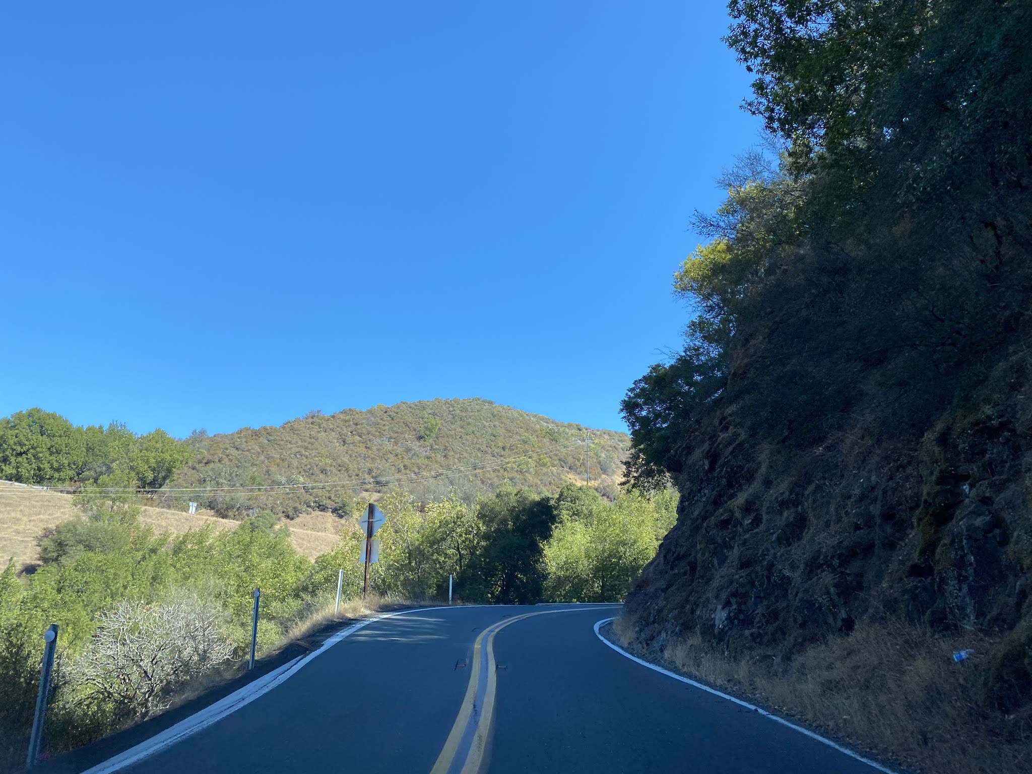
Traffic on CA 175 west is advised of 17 miles of curves.

CA 175 west snakes it's way uphill grade before dropping via a 9% downhill grade to the Mendocino County Line.


CA 175 west continues to descend downhill and enters Old Hopland. At Postmile MEN 1.1.46 CA 175 west enters a roundabout.


CA 175 west passes through Old Hopland on Main Street, crosses the Russian River, and terminates at US Route 101 in Hopland. The Russian River Bridge has a date stamp of 1939.


Part 3; a drive on California State Route 175 from US Route 101 east to the California State Route 29 split
From US 101 southbound approaching Hopland traffic heading to CA 175 is advised of a 39 foot truck prohibition 5 miles to the east.


As CA 175 east begins and approaches the Hopland rail crossing traffic is advised the truck route ends 5 miles ahead.

Lakeport is signed as 19 miles east on CA 175 whereas Kelseyville is signed as 22 miles away.

CA 175 east crosses the Russian River at Postmile MEN 0.46.


CA 175 east enters Old Hopland on Old River Road. CA 175 east splits from Old River Road via a roundabout at Postmile MEN 1.14.


CA 29 and Lakeport are signed as 18 miles to the east on CA 175 from the Old Hopland roundabout.

At Postmile MEN 2.78 CA 175 east intersects Old Toll Road.


CA 175 east begins an steep climb following the McDowell Creek watershed. The route of CA 175 continues to climb the Lake County Line at Postmile MEN 9.85.


From the Mendocino/Lake County Line much of Clear Lake can be seen from CA 175.

CA 175 east is signed with 6% grades for 3 miles upon entering Lake County.

Another view of Clear Lake from the shoulder of CA 175.

It seems CA 175 is a bad place to break down.

CA 175 east descends to South Fork Scotts Creek at Postmile LAK 3.04.


CA 175 east follows the course of Manning Creek to a junction with CA 29 at Postmile LAK R8.19.


CA 175 east/CA 29 south multiplex into Kelseyville and intersect Merrit Road at Route 29 Postmile LAK R36.00.


CA 175 east/CA 29 south continue eastward and split at Postmile Route LAK 31.07.


Comments