Back during 2014 I drove California State Route 197 while exploring rural Del Norte County. This article traces the history of the short but albeit scenic CA 197.

CA 197 is a 7 mile north/south State Highway signed along North Bank Road. CA 197 connects US 199 along the Smith River near Hiouchi to US 101 near Fort Dick.

Part 1; the history of California State Route 197
Compared to nearby US 199 the backstory of CA 197 is far more mundane. While US 199 was built upon the bones of what was the Gasquet Toll Road to Oregon Mountain the route of CA 197 has a considerably less ambitious origin. North Bank Road was added to the State Highway System during 1933 as Legislative Route 81 ("LRN 81"). LRN 81 simply was a connecting highway between US 199/LRN 1 north to US 101/LRN 71 and can be seen on the 1935 Division of Highways Map of Del Norte County.

LRN 81 was an adoption of the already existing North Bank Road. North Bank Road can be seen on the 1917 California State Automobile Association Map of California.

During the 1964 State Highway Renumbering LRN 81 was reassigned as CA 197. CA 197 can be seen appearing for the first time on the 1964 Division of Highways State Map.

CA 197 first appears to have been signed circa 1969 as indicated by the Division of Highways State Map from said year.

Part 2; a virtual tour of California State Route 197
Our virtual tour of CA 197 begins from US 199 westbound. US 199 westbound meets CA 197 northbound at approximately Post Mile DN 4.420. CA 197 traffic is advised the highway is signed on North Bank Road as a cut-off to US 101 headed towards Oregon State Line. Note; all below images are ripped from Google Street View as I did not have the presence in mind to take photos during 2014.

CA 197 north traffic is advised that Ruby Van Deventer County Park is 4 miles away. US 101 is signed as 7 miles away on CA 197 northbound. The Oregon State Line signed as 17 miles away.


At Post Mile R1.629 CA 197 north meets it's original alignment at Tan Oak Drive. The "R" suffix in the Post Mile designation indicates that CA 197 is on it's first realignment after the 1964 Highway Renumbering.

Upon crossing Peacock Creek CA 197 north meets the back end of it's former Tan Oak Drive at Post Mile R2.192.

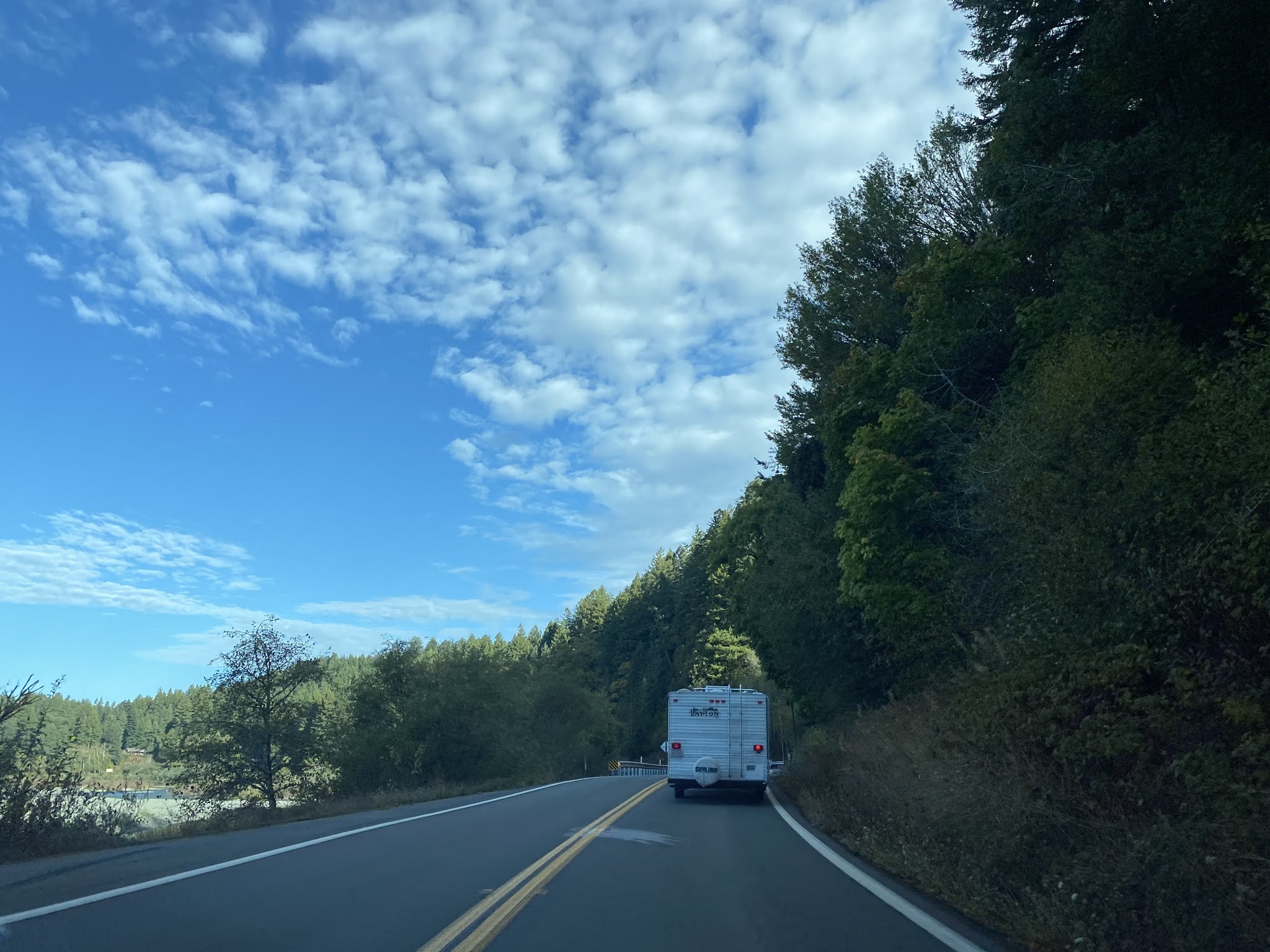
CA 197 north enters the a heavily wooded area along the east bank of the Smith River. At Post Mile DN 4.500 CA 197 north reaches Ruby Van Deventer County Park.


As CA 197 north approaches US 101 it occasionally closes onto the north bank of the Smith River (hence the name North Bank Road).


CA 197 northbound terminates at US 101 at Post Mile DN 7.08. The north terminus of CA 197 doesn't carry an end placard and is controlled by a simple pair of dual stop signs.


Comments